  |
Images of KathmanduBanepa
|
 |
| |
Images of KathmanduBanepa
|
|
|
|
|
|
|
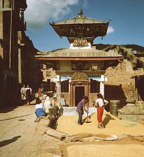
Drying Corn at Temple in Banepa |
|
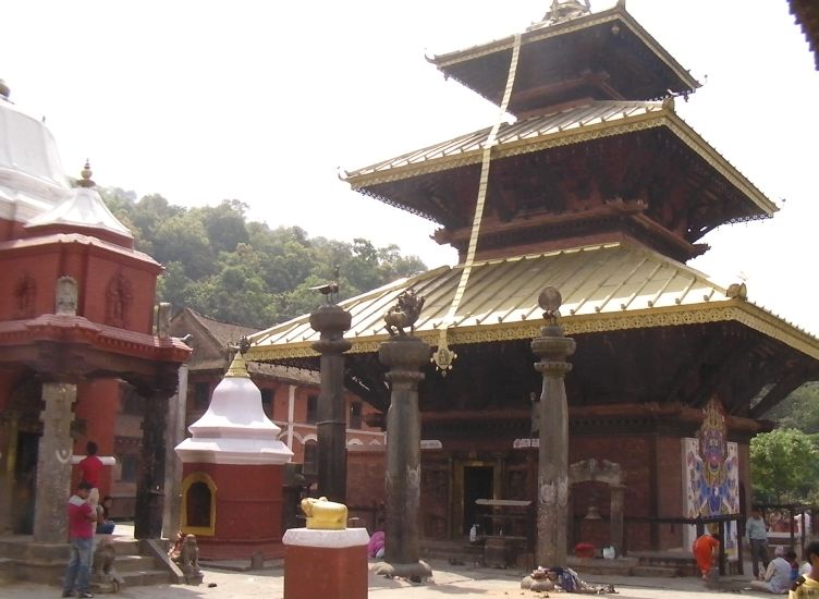
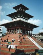
Chandeshwari
Temple at Banepa
|
|
|
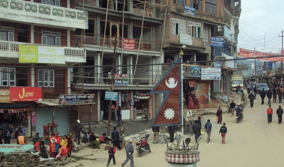
Main
Street in Banepa
|
|
|
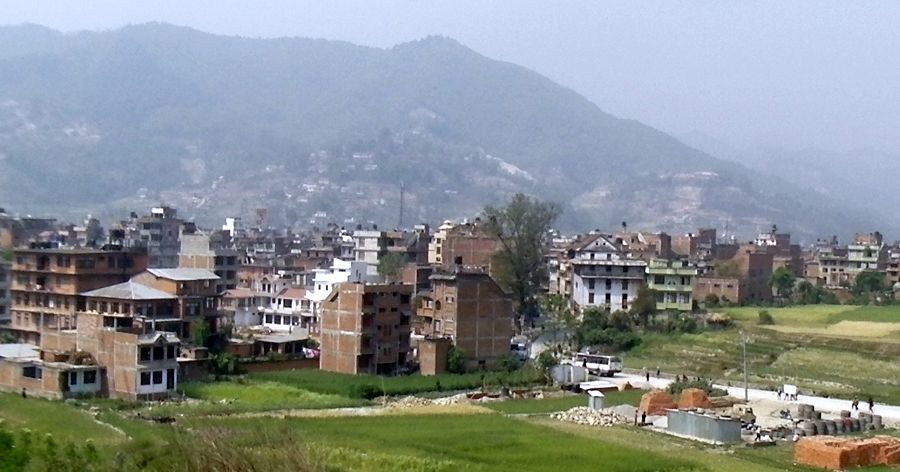
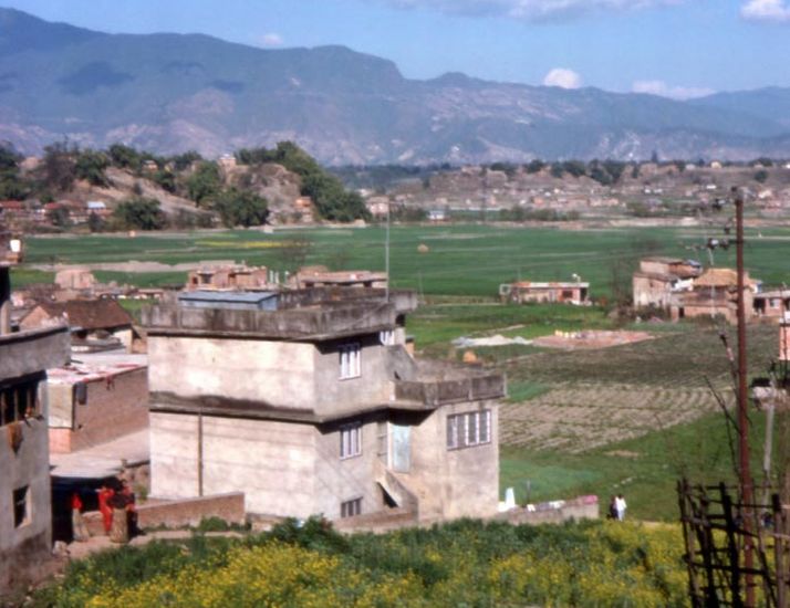
The
outskirts of Kathmandu
|
|
Site Index : Worldwide Mountaineering : Adventure Travel