  |
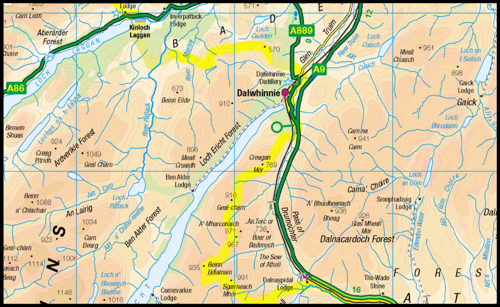
The Scottish HighlandsCairngorms
|
  |
| |
The Scottish HighlandsCairngorms
|
|
 Drumochter Pass
|
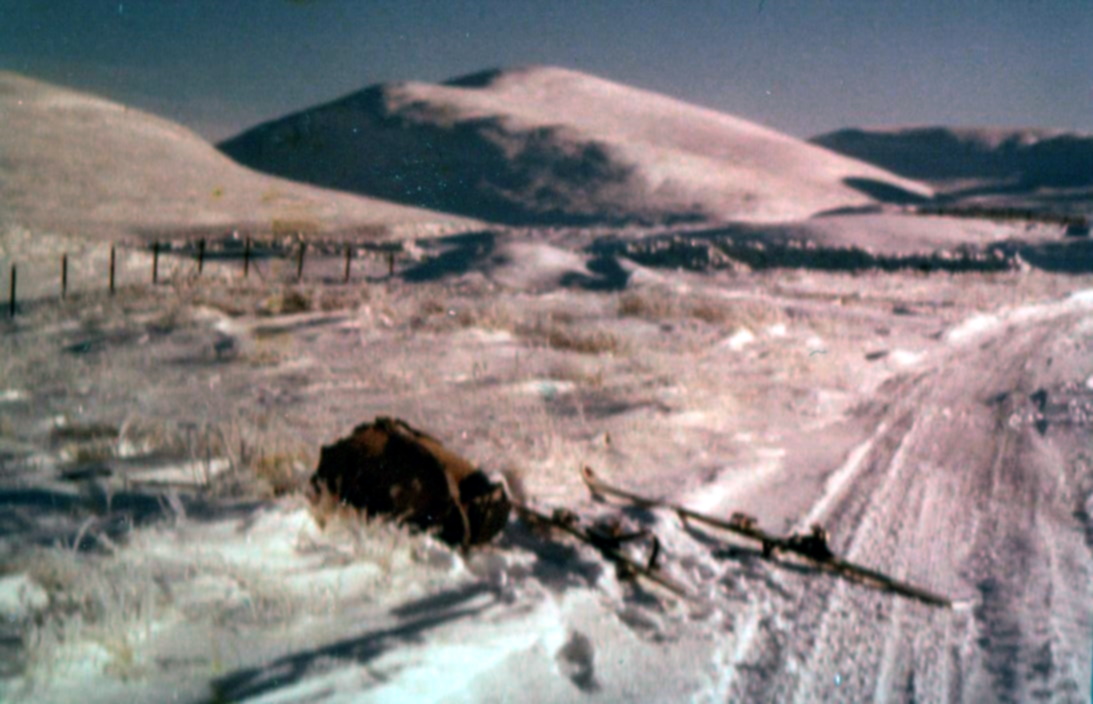
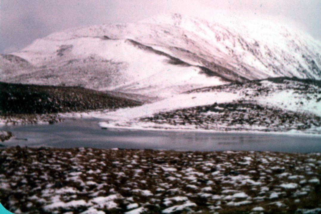
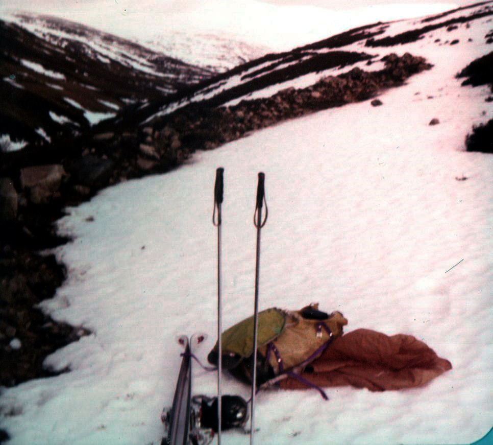
Start of ski ascent of Meall
Chuaich |
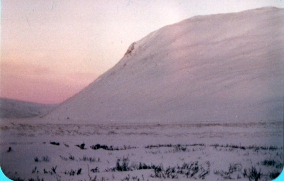
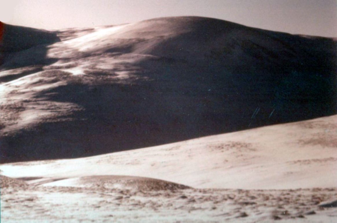
Meall Chuaich |
Meall Chuaich |
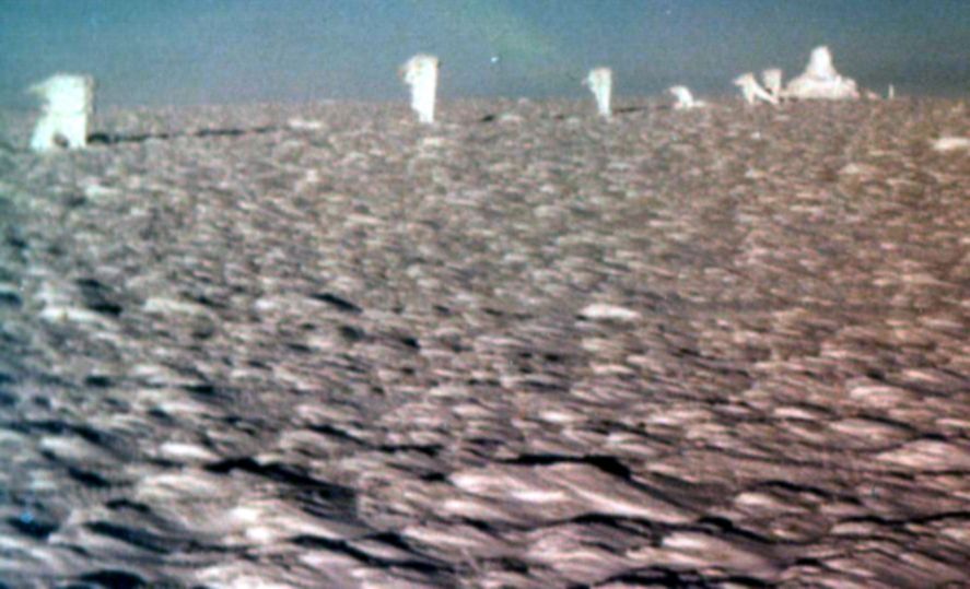
On ascent of
Meall Chuaich |
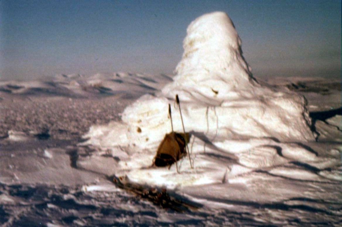
Ski descent from Meall Chuaich |
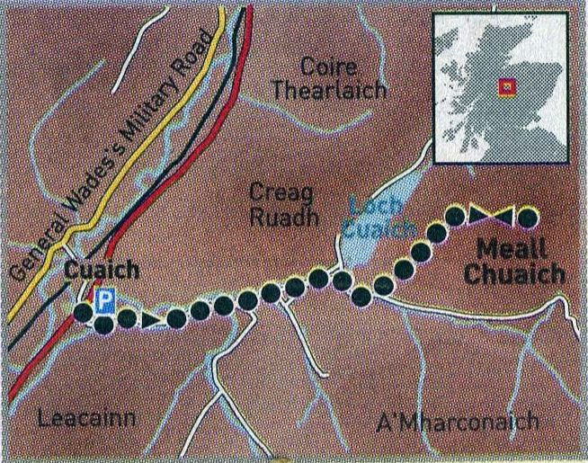
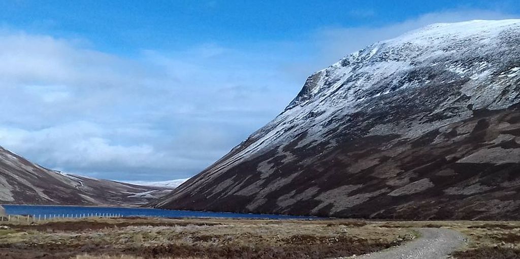
Map for Meall Chuaich |
ROUTE DESCRIPTION FOR MEALL CHUAICH:
A high-level start from Dalwhinnie offers a great advantage in the quest to bag this solitary but easily climbed Highland peak, nestling
amid untamed terrain and overlooking Loch Cuaich.
START/FINISH: Grass verge on the east side of the A9, south of Cuaich ( grid ref NN 655867 ).
DISTANCE: 14km /9 miles.
TOTAL ASCENT: 623m.
MAP: Ordnance Survey 1:50,000 Landranger sheet 42.
ROUTE:
A track follows an aqueduct up to a small power station.
Continue on towards Loch Cuaich and, just before this is reached bear right at a junction of tracks, passing a locked bothy.
Cross a wooden bridge over the Allt Coire Chuaich a little further on and a good track climbs steeply to Stac Meall Chuaich.
A path rises to the summit cairn, although it is indistinct in places, particularly where it crosses a boulder field.
OTHER WALKS IN THE AREA:
The Wildcat Trail is an easy circular walk around the Highland town of Newtonmore.
if you're lucky you may spot one of the elusive creatures from which the route takes its name.
WHERE T0 STAY:
The Columba House Hotel in Kingussie welcomes walkers and boasts a fine restaurant with patio area within its walled garden for summertime dining.
DB&B from around £50. Tel: 01540 661 402 or visit www.columbahousehotel.com
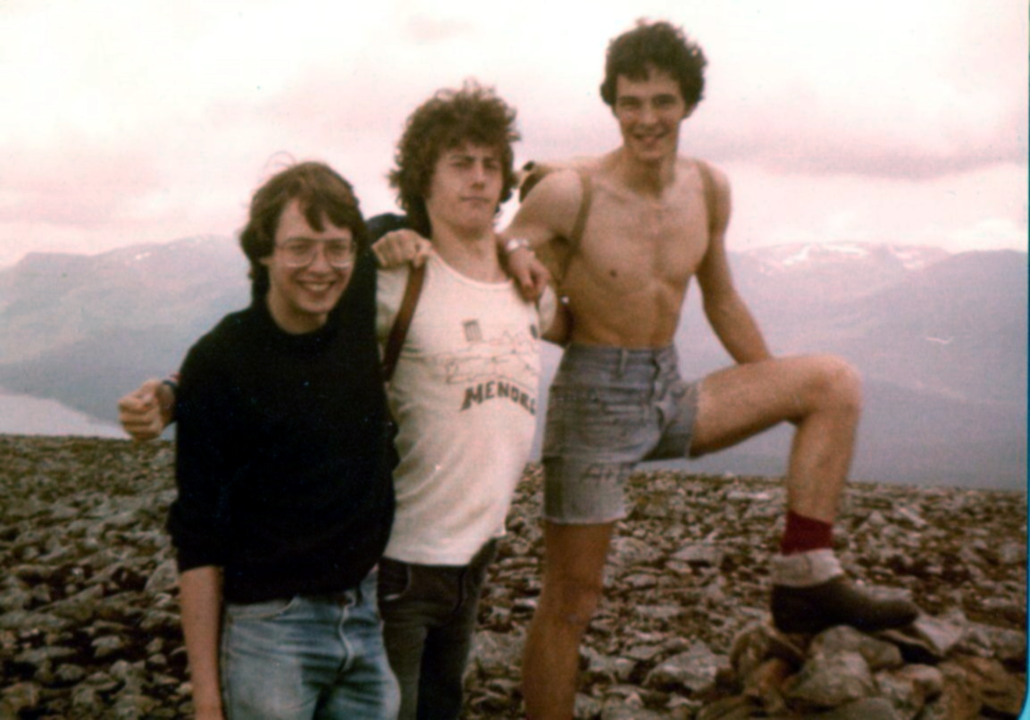
On ascent of A'Bhuidheanach Bheag |
On
ascent of A'Bhuidheanach Bheag |
Summit
plateau of A'Bhuidheanach Bheag |
Summit cairn of A'Bhuidheanach Bheag |
Map of Carn na Caim and A'Bhuidheanach Bheag in the Cairngorms Massif |
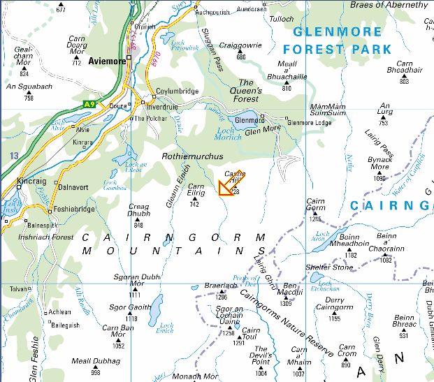
Map of the Cairngorms Massif |
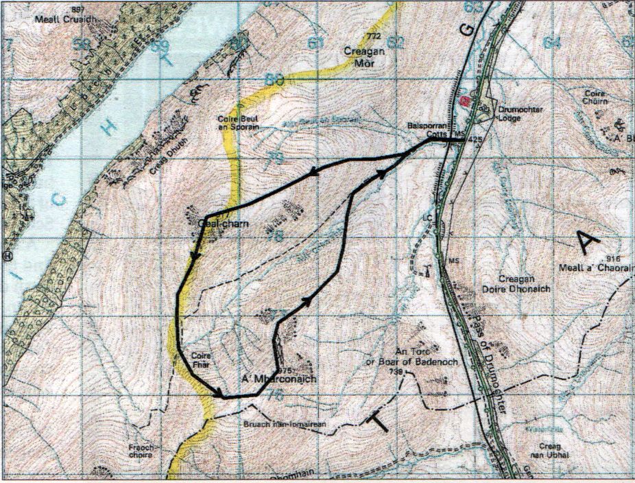
Map of Geal Charn
and A'Mharconaic above Drumochter |
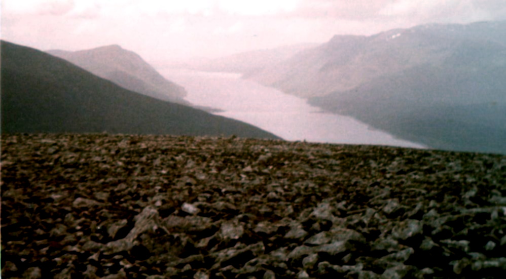
Loch Ericht
from Geal Charn above Drumochter |
On
Geal Charn above Drumochter |
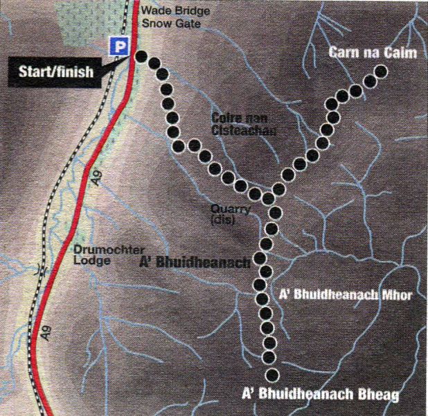
Map of Carn na Caim and A'Bhuidheanach Bheag in the Cairngorms Massif |
Route Description for Carn na Caim and A'Bhuidheanach Bheag:
Location: Drumochter Pass
Map: OS Landranger 42 ( GR677821 )
Distance: 12.5 miles ( 20km )
Time: 6 hours
Terrain: tracks and hillpaths
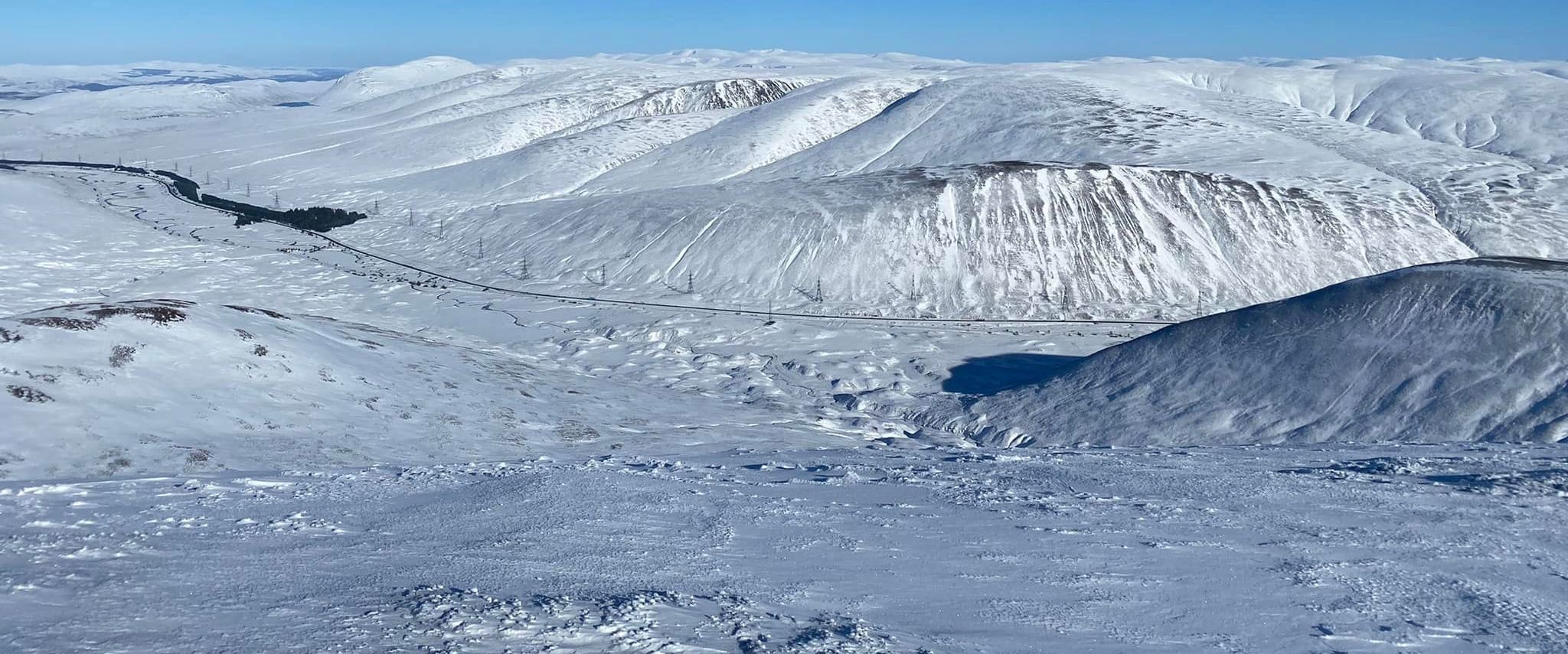
Snow and ice can be a lethal combination, but it’s not one you’re likely to be troubled by on Carn na Cairn and A’ Bhuidheanach Bheag,
two Munros above the Drumochter Pass on the south-western boundary of the Cairngorm National Park.
They can be a bit dull in summer but on a crisp winter day they are just the ticket for anyone weary of the white stuff.
Much of the route follows tracks almost to the summits and there are no avalanche black-spots or icy sections guarded by steep cliffs.
Care is needed, however, especially with final navigation to the summits, as summer paths may be covered with snow and yours may
be the only bootprints.
Park at Layby 87 on the west side of the A9 north of Drumochter Lodge.
Cross over to a gated track and follow it over a cattle grid and straight ahead at a junction to a works compound for the new Beauly-Denny pylons.
Continue ahead to gain an old track and ascend the hillside to where it levels out ( there’s a shallow quarry hereabouts, but it may be invisible under the snow ),
to arrive at a junction.
Cam na Caim is to the left and A’ Bhuidheanach Bheag to the right.
Turn right and follow the track round the hump of Point 902m ( 2959ft ). Drop to a col, then go over the next hump and down to a second col.
On ascent from here towards A’Bhuidheanach ( 879m; 2884ft ), keep an eye out for a prominent quartz cairn on the right with a finger rock.
Turn sharp left here off the main track, which continues ahead, on to a subsidiary track ( it may not be obvious in the snow ), and descend the eastern
flanks of A’ Bhuidheanach to a burn. Cross the water and ascend directly to reach a line of old fence posts; follow these in a southerly direction to the trig point
on the otherwise featureless summit of A’ Bhuidheanach Bheag ( 936m; 3071ft ).
Retrace the outward route to the quarry junction and continue on the track towards Carn na Cairn. The route follows the fenceline
along the crest until the track and fence part company beyond the head of Coire Uilleim.
Leave the track for the fence at this point and follow it north then east to where it makes a right-angled turn.
The summit ( 94lm; 3087ft ) is about 185 metres to the north-east.
Some books suggest descending the western flanks of Carn na Caim to the starting point, and while it does save a little bit of distance, there are
no paths and the terrain is rough and tiring in places. The easiest return is probably via the tracks used in ascent.
Route Description for Geal Charn and A'Mharconaic
Scottish Peaks : Scotland Index :: Scotland Walks