  |
The West Highland Way Beinn a Chaisteil
& Beinn
nam Fuaran
|
  |
| |
The West Highland Way Beinn a Chaisteil
& Beinn
nam Fuaran
|
|
Photographs of an ascent of Beinn a Chaisteil and Beinn nam Fuaran
- two Corbetts above Auch Glean
that are visible from the West
Highland Way
on route from Tyndrum to Glen Coe
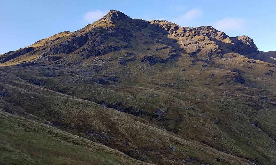
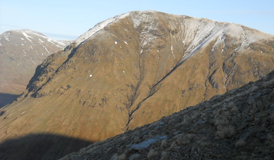
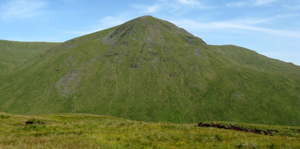
 Beinn a
Chaisteil ( 2907ft, 886m )
|
|
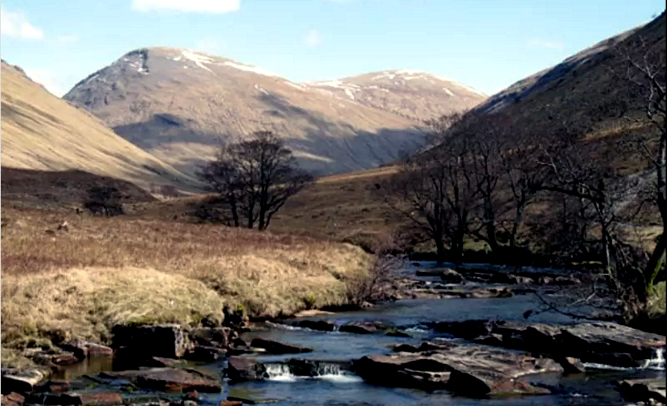
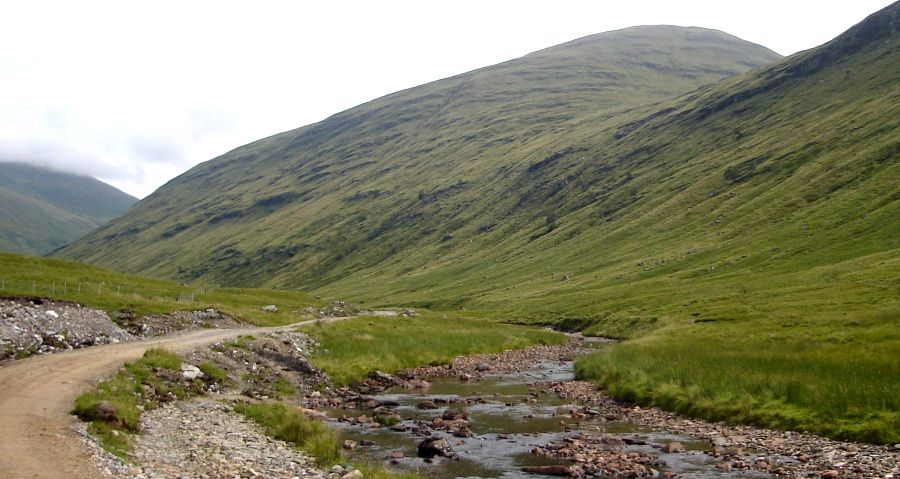
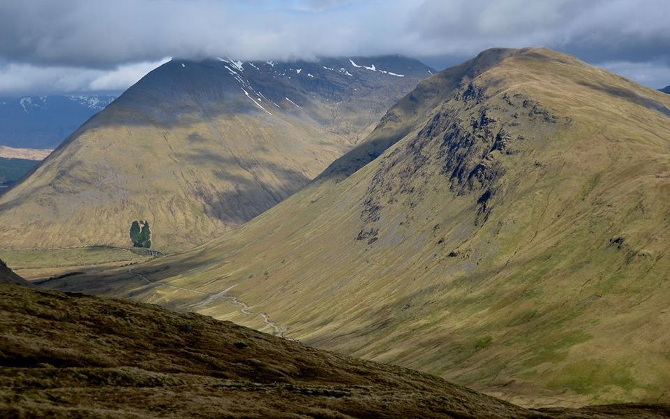
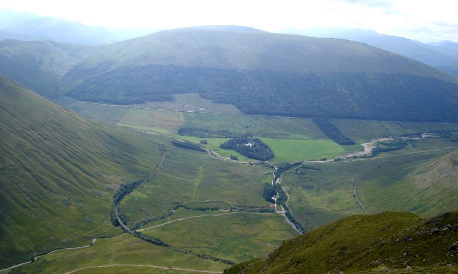
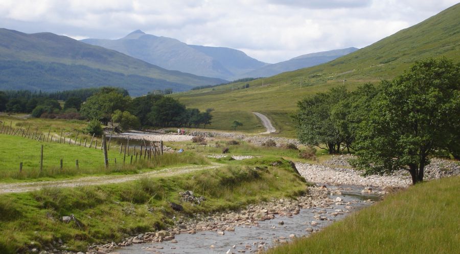 West Highland Way across Auch Gleann |
|
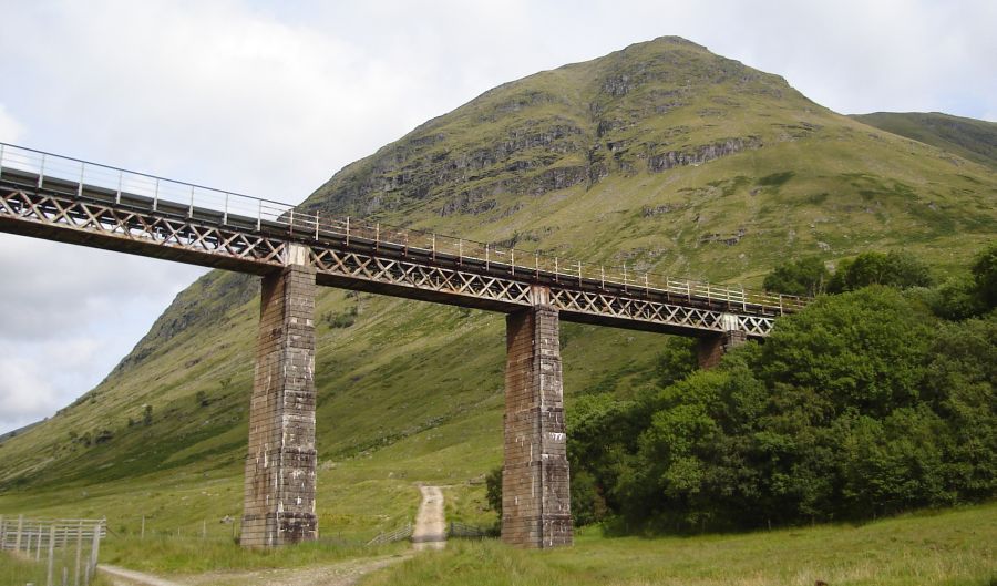 "Horseshoe
Curve" Railway
Viaduct in
Auch Glean beneath Beinn a Chaisteil
Built to carry the West Highland Railway (a subsidiary of the North British Railway) across the Allt Kinglas; It opened on 11 August 1894 |
|
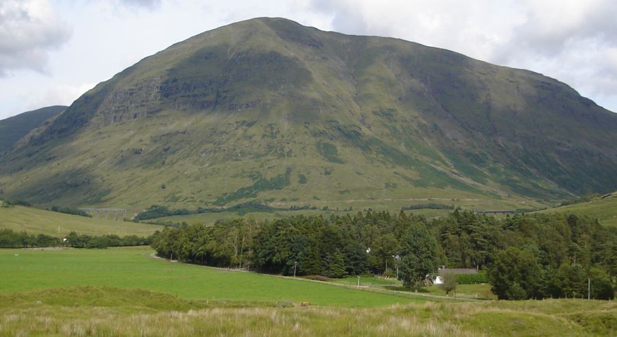
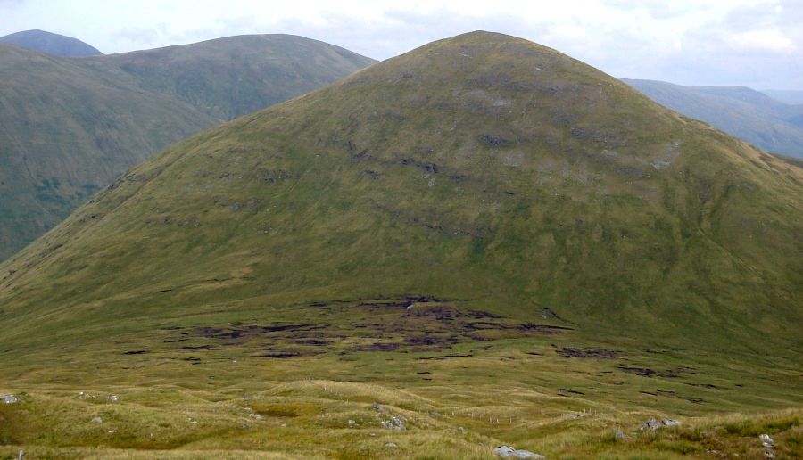
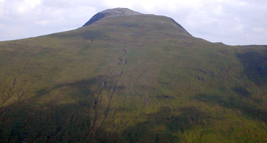
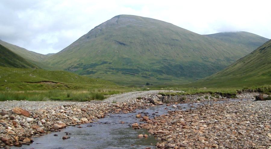 Beinn Mhanach ( 3127ft, 953m ) above Auch Glean |
|
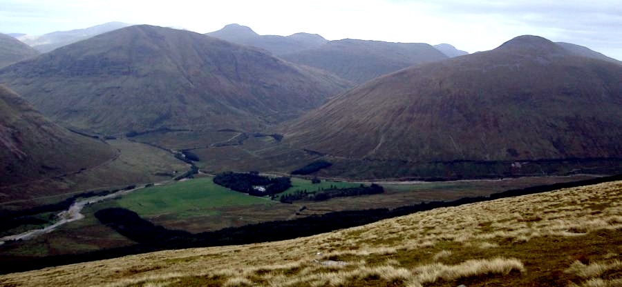
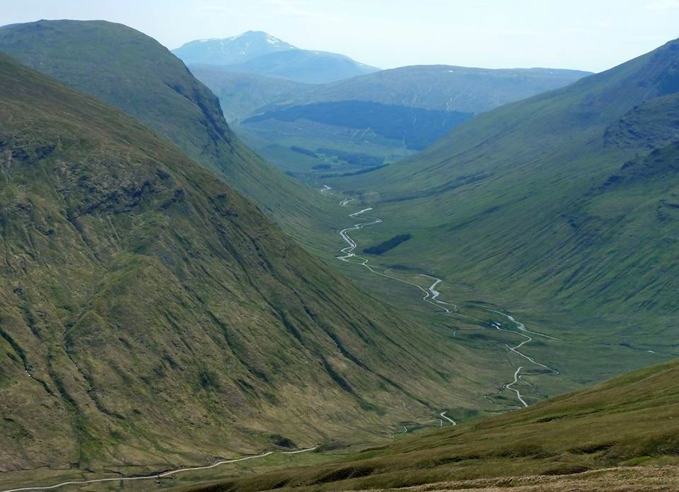 Auch Glean from Beinn Mhanach |
|
 Beinn Mhanach ( 3127ft, 953m ) above Auch Glean |
|
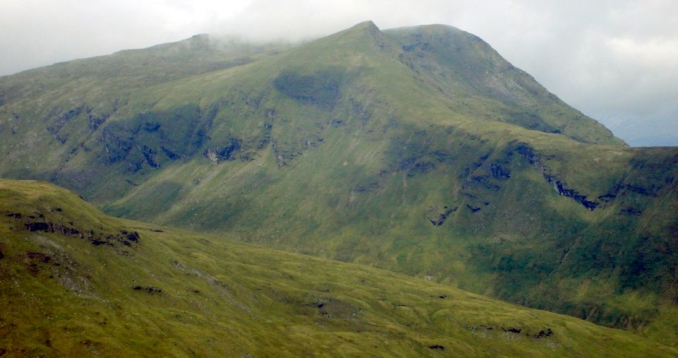
 North Face of Beinn Mhanach ( 3127ft, 953m ) |
|
 North Face of Beinn Mhanach ( 3127ft, 953m ) |
|
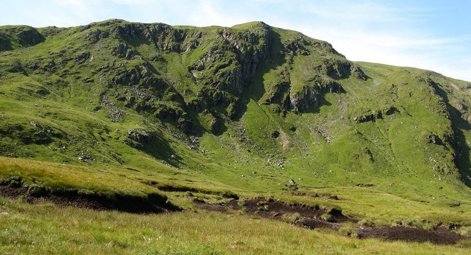
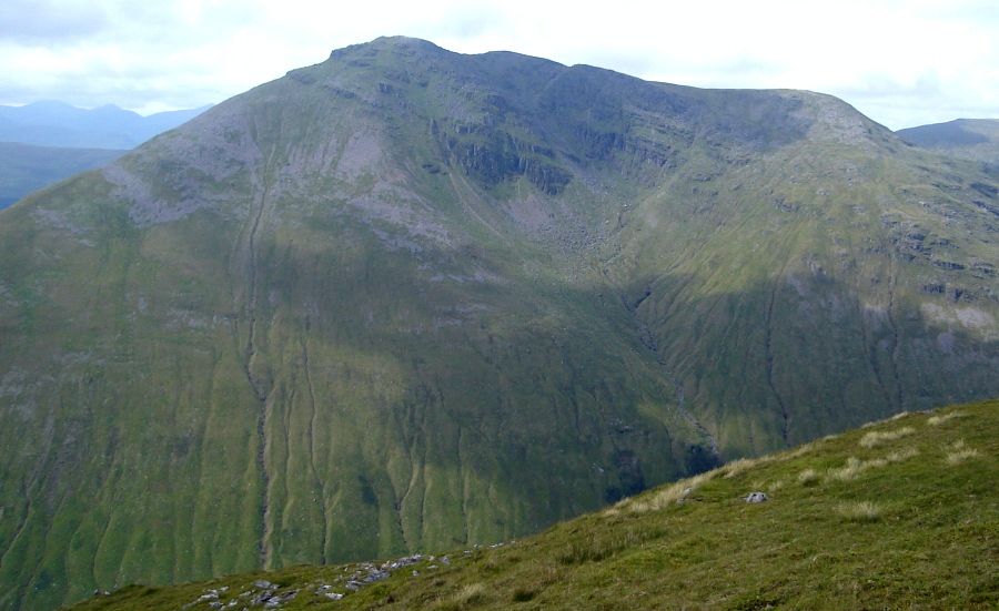
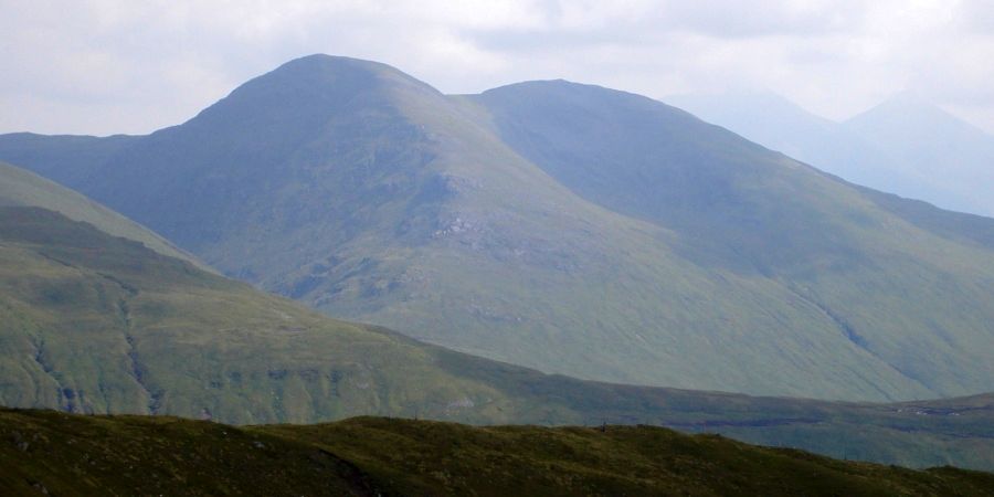
 Beinn nam Fuaran above Auch Glean |
|
 Beinn
an Dothaidh from Beinn nam Fuaran
|
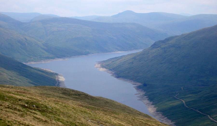 Loch Lyon
from Beinn nam Fuaran
|
|
 Beinn nam
Fuaran from Beinn a Chaisteil
|
|
 Ben Dorain from Beinn a
Chaisteil
|
|
 Ben Dorain and Beinn a
Chaisteil
|
|
 Beinn a Chaisteil from Beinn Odhar |
|
 Ben Challum from Beinn a
Chaisteil
|
|
 Meall Glas from Beinn a
Chaisteil
|
|
 |
|
 West Highland Way across Auch Gleannbeneath Beinn Odhar and Beinn a Chaisteilfrom Beinn Bhreac-liath |
|
 Beinn a
Chaisteil across Auch Glean
|
|
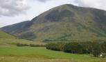
 Beinn Dorain, Beinn a'Chaisteil and Beinn Odhar |
|
 The Black Mount above Bridge of Orchyfrom the West Highland Way across Auch Gleann |
|
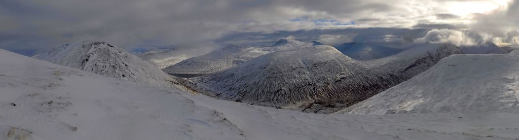 Peaks above Allt Kinglas from Beinn Achaladair
Beinn
a'Chuirn
Beinn
nam Fuaran
Beinn a'Chaisteil
|
|
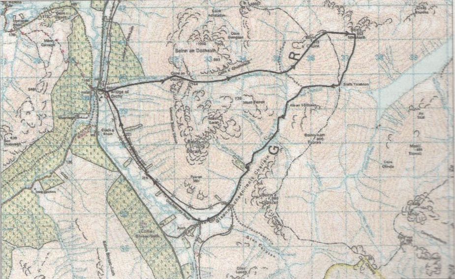
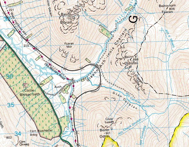 Map
for Beinn a Chaisteil and
Beinn nam Fuaran
|
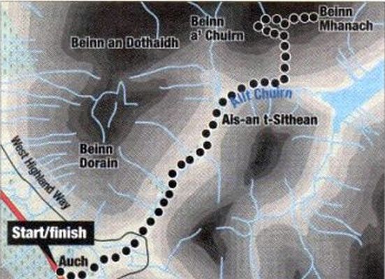 Map
for
Beinn Mhanach
|
BEINN MHANACH - ROUTE DESCRIPTION:
 Beinn a'
Chreachain
|
|
 Map
for
Beinn Mhanach
|
 Route
Description for
Beinn Mhanach
|
 ::
Glencoe
Photo
Gallery
::
Glencoe
Photo
Gallery 
Ben Nevis | Knoydart | Isle of Skye | Isle of Arran | The West Highland Way
The Eastern Highlands | The Central Highlands | The Southern Highlands | The NW Highlands