  |
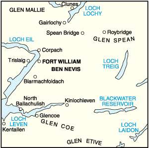
The Scottish HighlandsGLENCOE
|
  |
| |
The Scottish HighlandsGLENCOE
|
|
Photographs of a traverse of the Corbett Beinn a Chrulaiste
in Glencoe above the West Highland Way.
A fine viewpoint for the surrounding Munros:-
Meall a Burraidh, Buachaille
Etive Mor,
Buachaille Etive Beag, Bidean nam Bian
 |
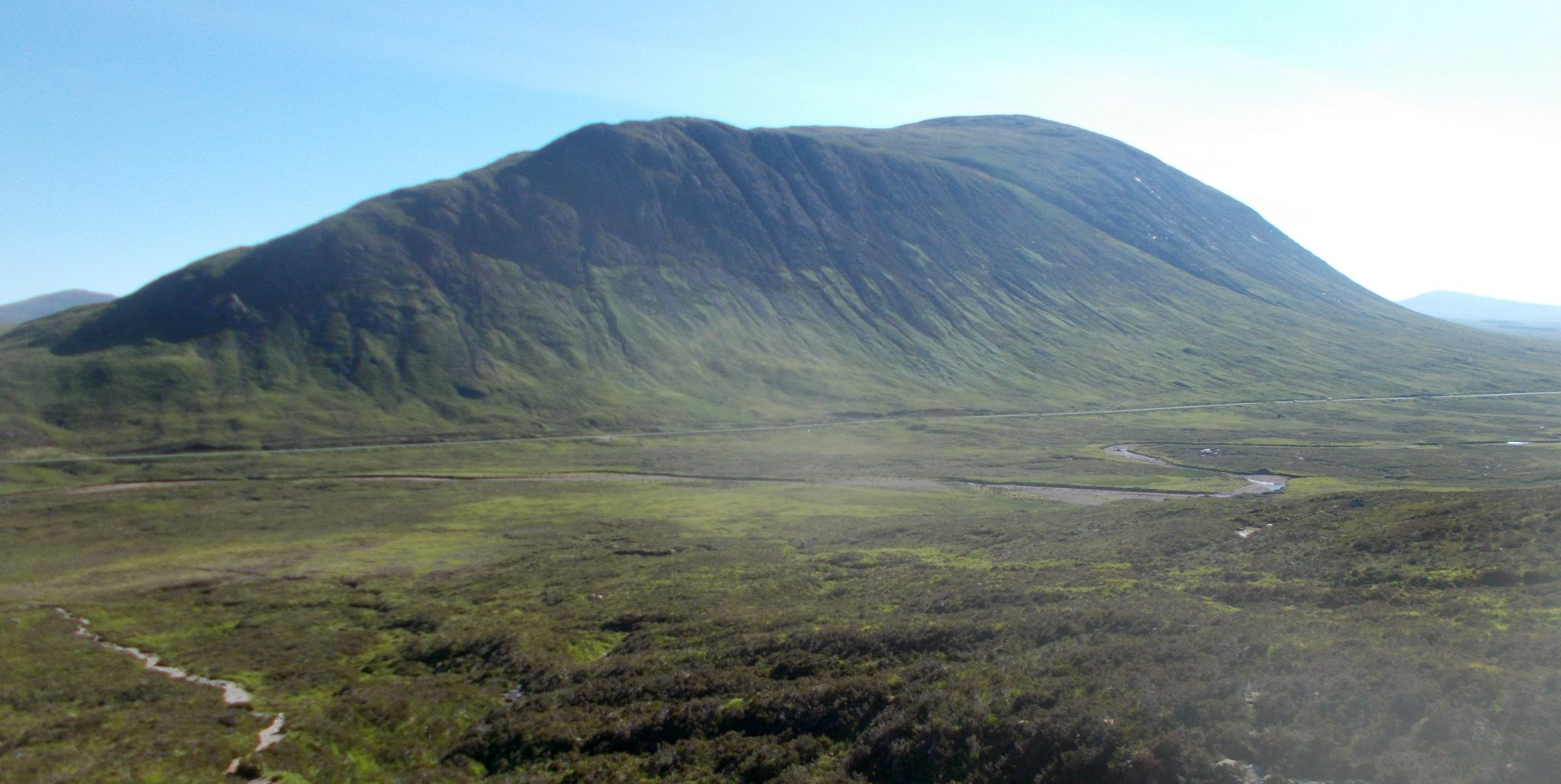
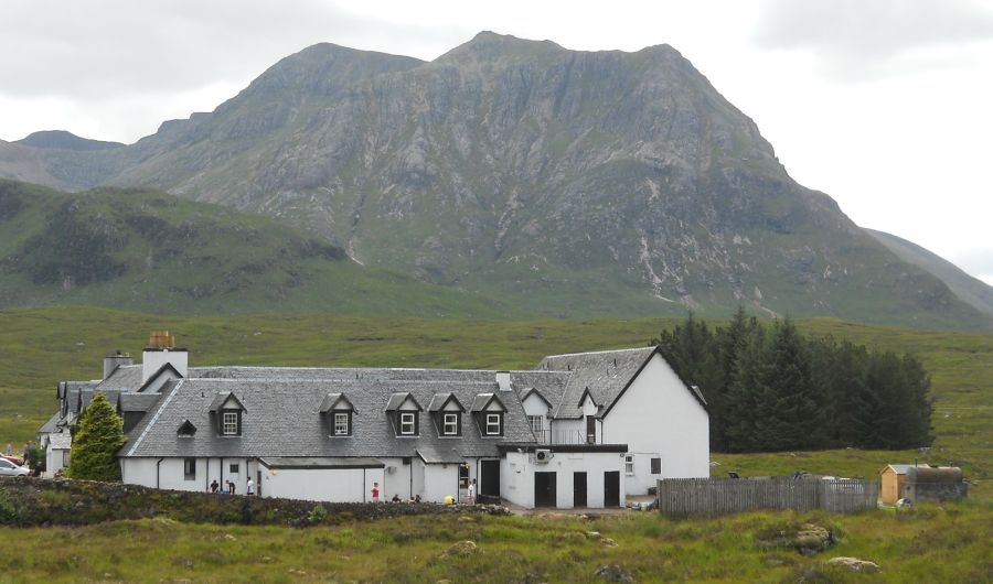
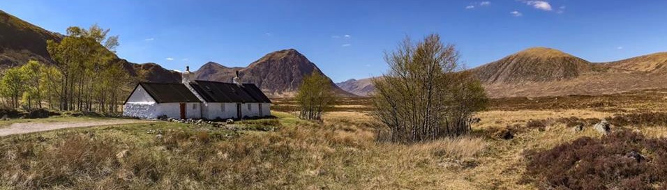
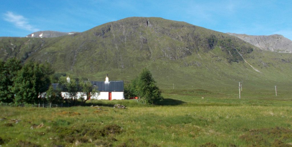 Beinn
a'Chrulaiste
beyond Black Rock Cottage |
 |
 |
 |
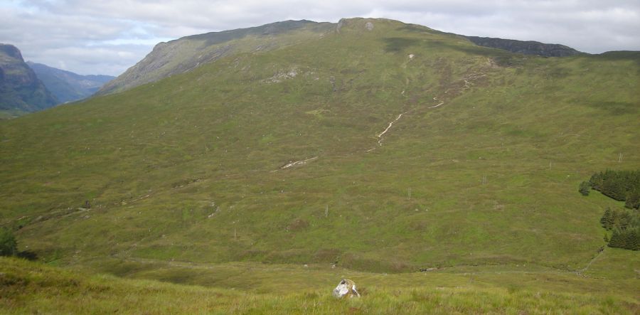
 Beinn a'Chrulaiste |
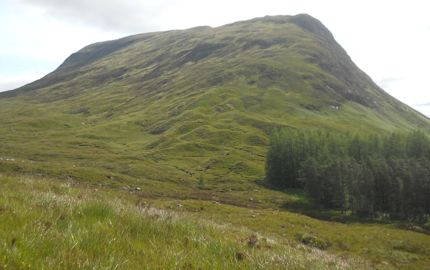 West Ridge
of Stob Beinn a Chrulaiste
The
ascent starts along the path
of the West Highland Way to the Devil's Staircase before heading up the west ridge of Stob Beinn a Chrulaiste. |
 West Ridge
of Stob Beinn a Chrulaiste
|
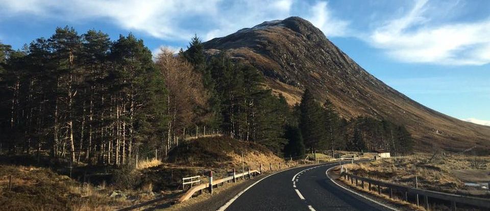
 Buachaille
Etive Beag (
3345m )
at start of ascent |
 |
 The West Highland Way on
the Devil's
Staircase
The name was given by the soldiers who were part of the road building program of General Wade. The carrying of building materials up this stretch of the road was not popular! The name was perpetuated when some of the workers building the Blackwater Dam chose to travel to the nearest pub at the Kingshouse Inn after their wages had been paid - the journey to the Kingshouse Hotel proved more difficult than expected and the return journey even worse on unsteady legs - on a cold winter’s night, the devil often ”claimed his own“. |
h
|
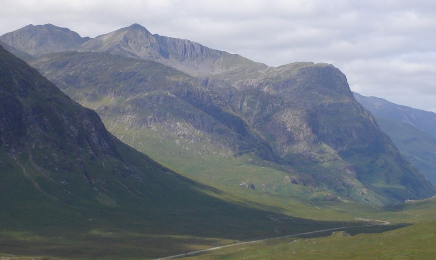
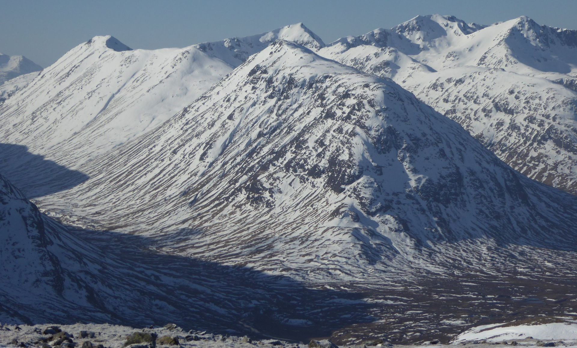
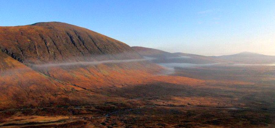
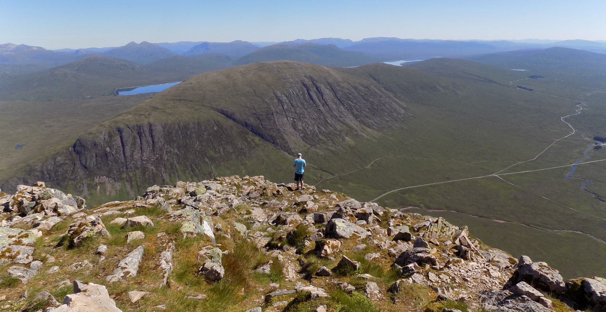
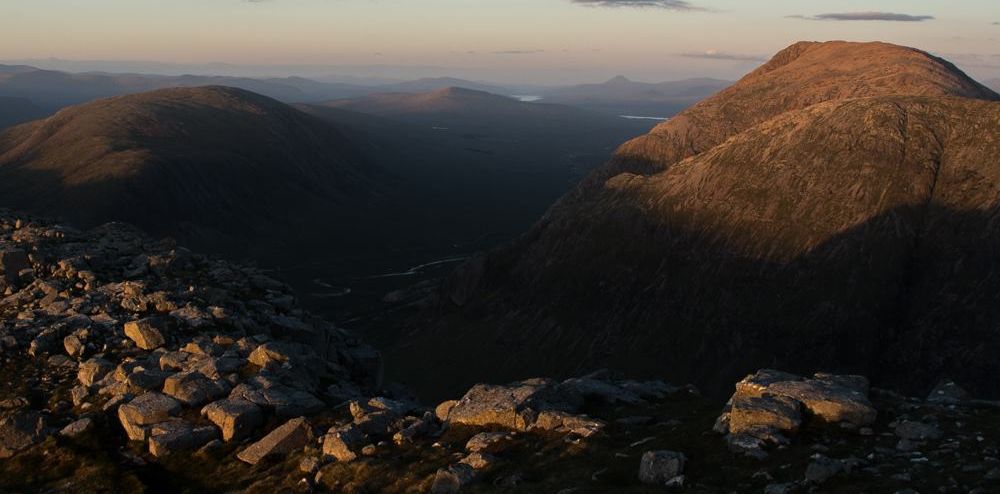
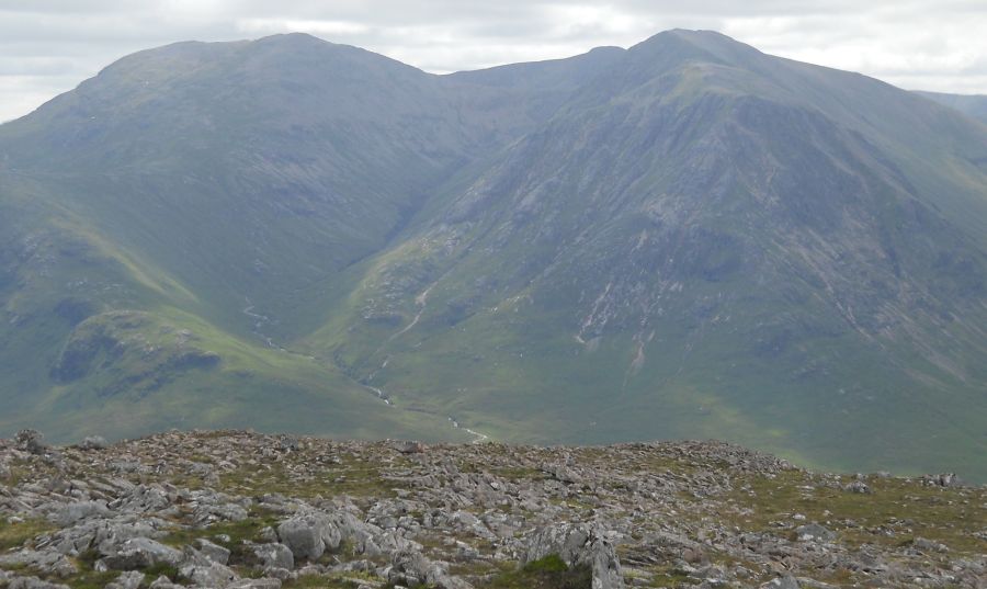
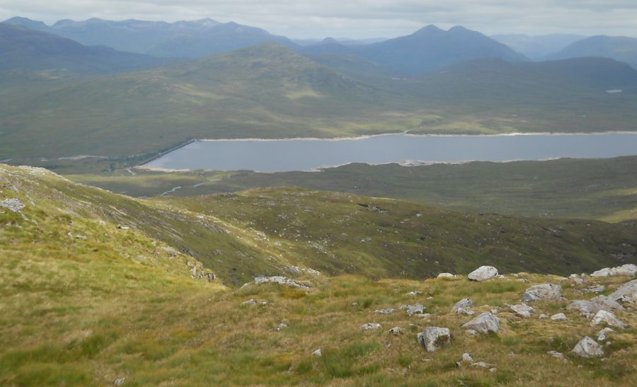
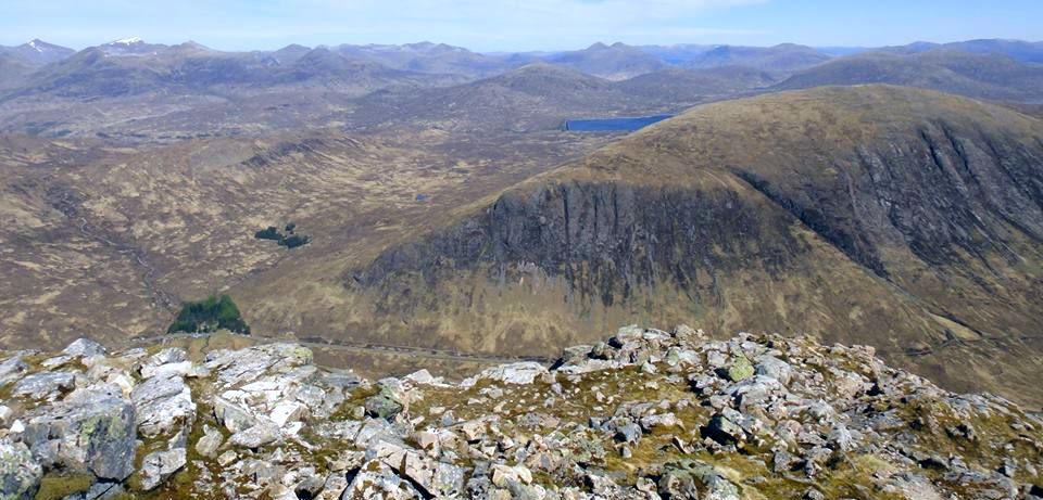
 Glen
Coe from Beinn a Chrulaiste
Buachaille Etive Beag and the Three Sisters on the left and the Aonach Eagach Ridge on the right |
|
 Glen
Coe
from summit of Beinn a Chrulaiste |
h
|
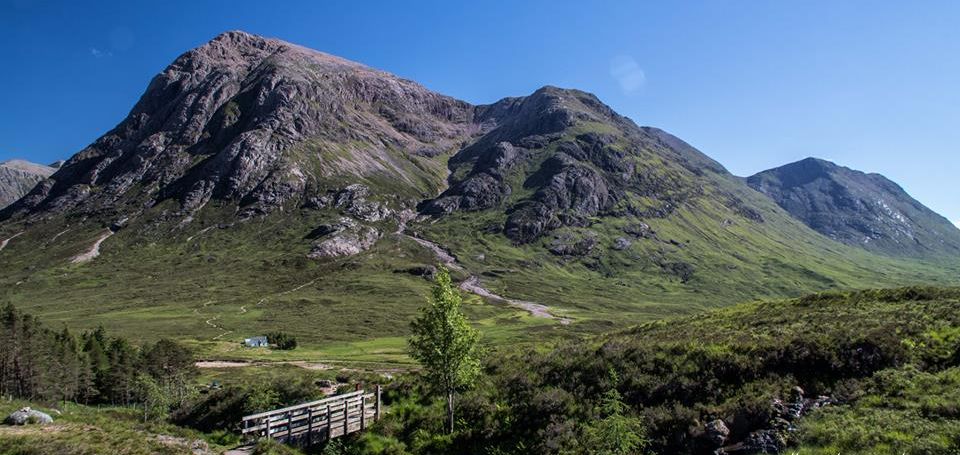
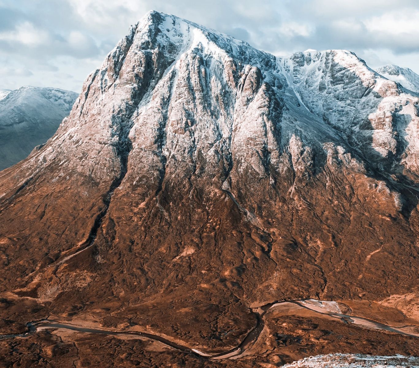
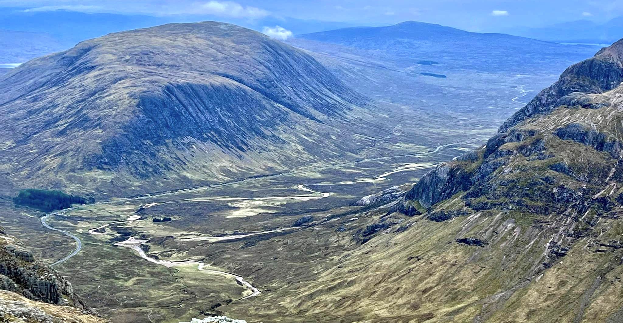
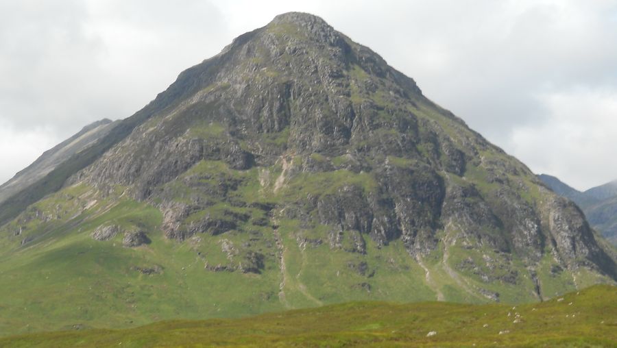
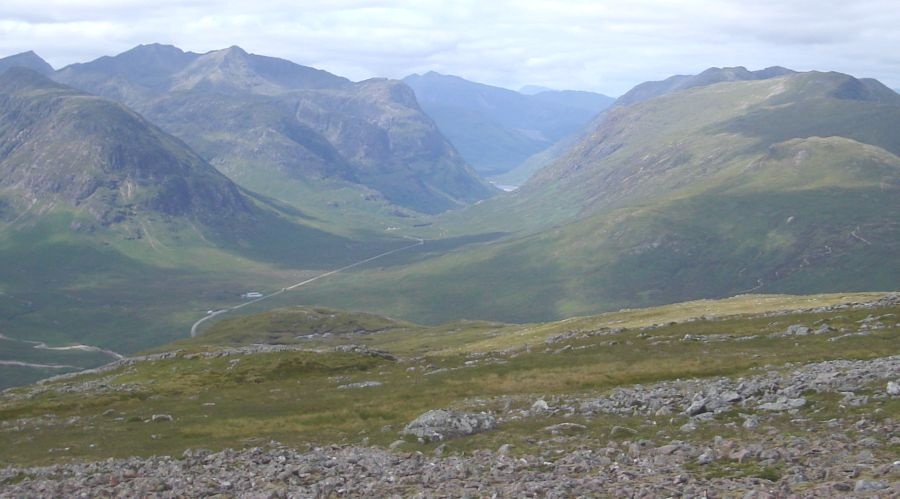
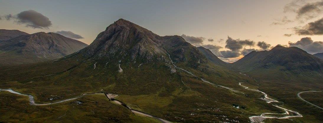
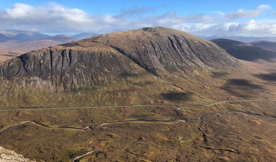
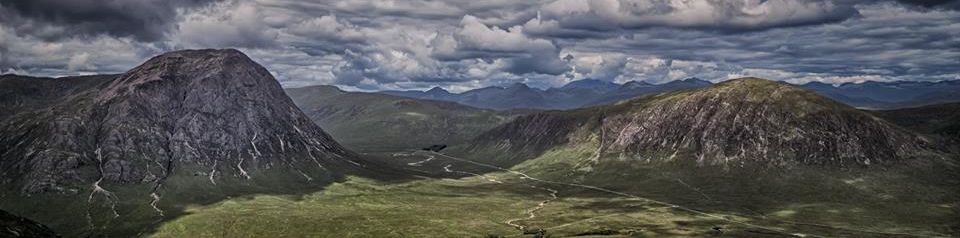
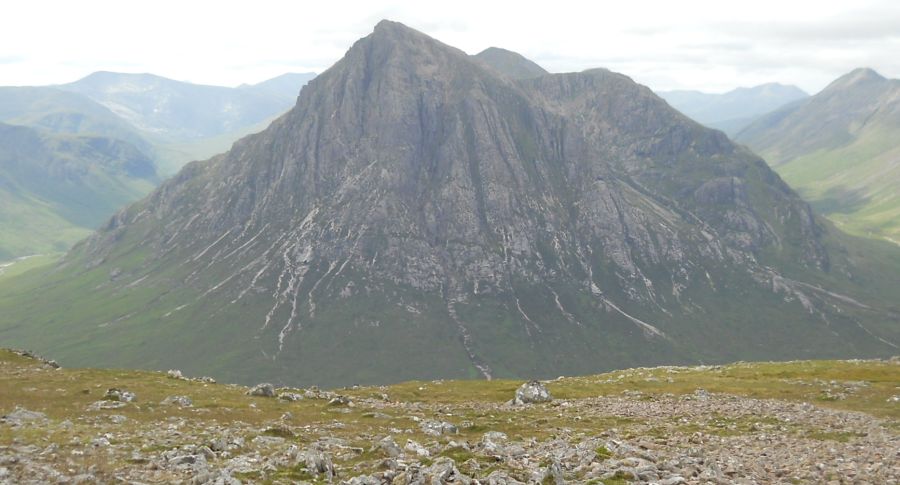 Buachaille
Etive Mor
from the summit of Beinn a Chrulaiste |
|
 Buachaille
Etive Mor
from the summit of Beinn a Chrulaiste |
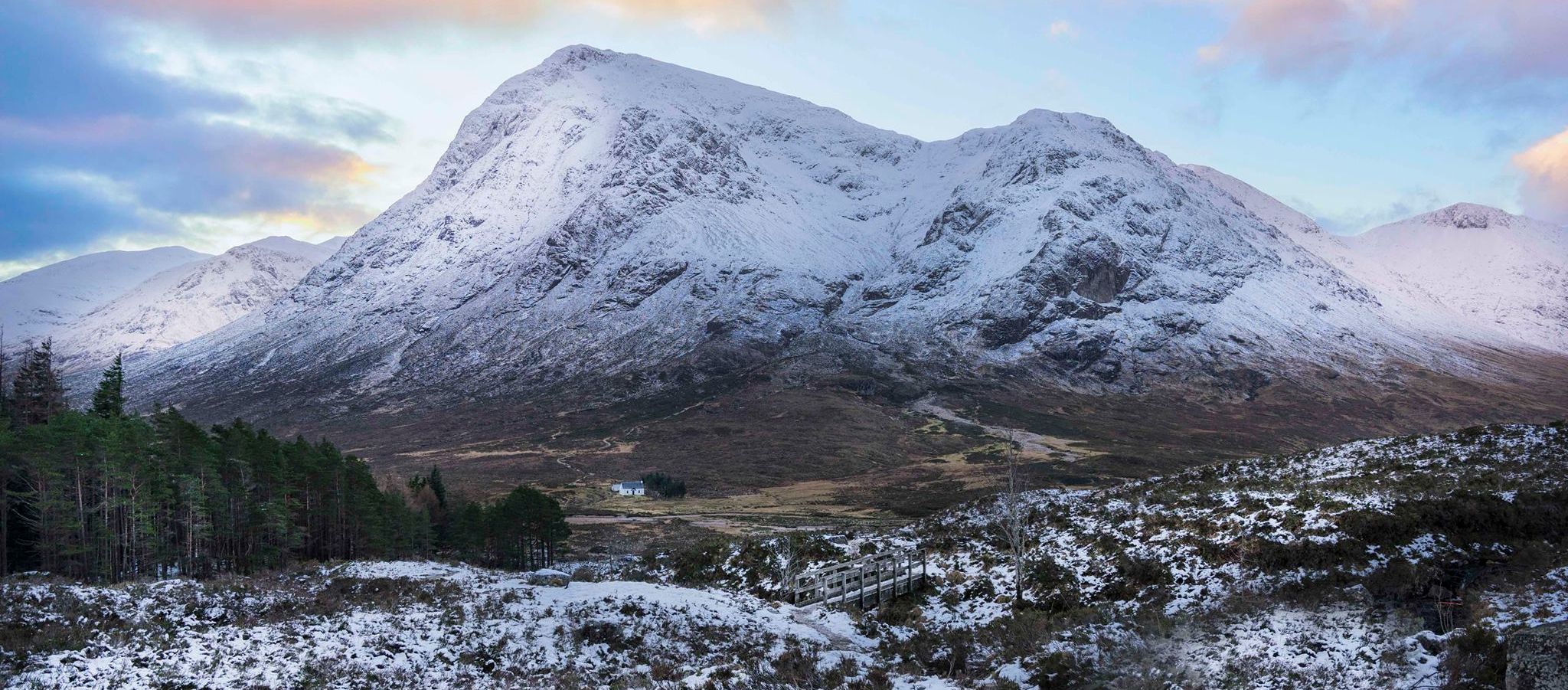
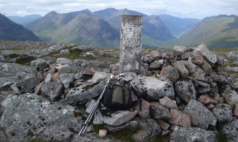
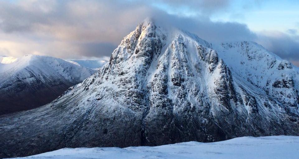
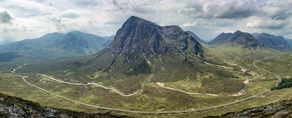
 Buachaille
Etive Mor
from Beinn a Chrulaiste |
 Buachaille
Etive Mor
from Beinn a Chrulaiste |
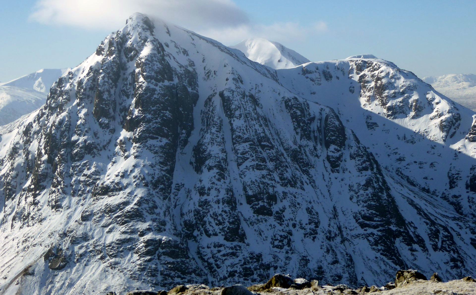
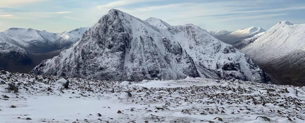
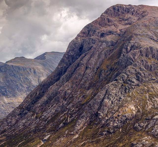
 Buachaille
Etive Mor
from Beinn a Chrulaiste |
 Buachaille
Etive Mor
from Beinn a Chrulaiste |
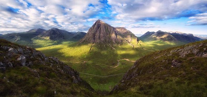
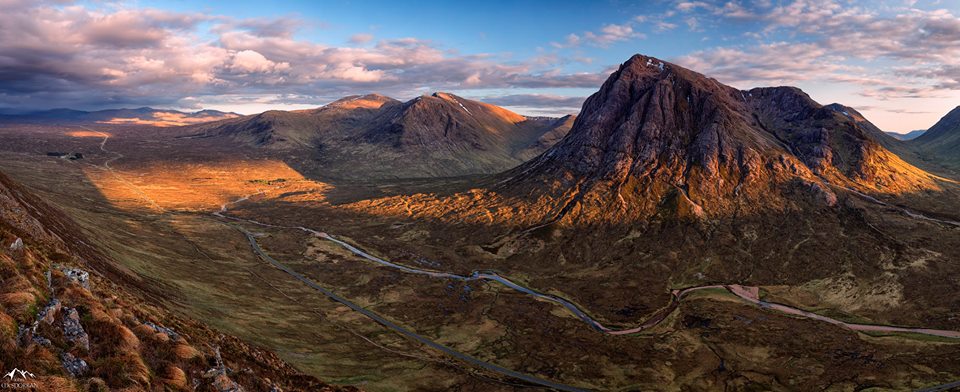
 Buachaille
Etive Mor
from Beinn a Chrulaiste |
 |
 |
 |
 |
 |
 |
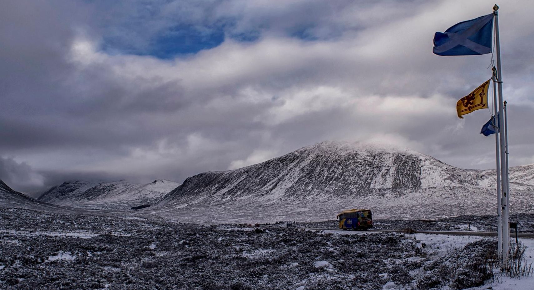
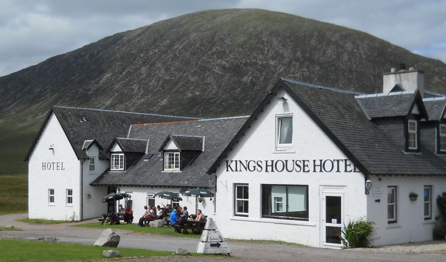
 Creise above Kings House Hotel
|
 |
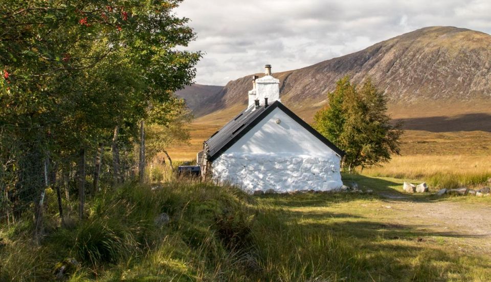
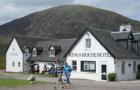
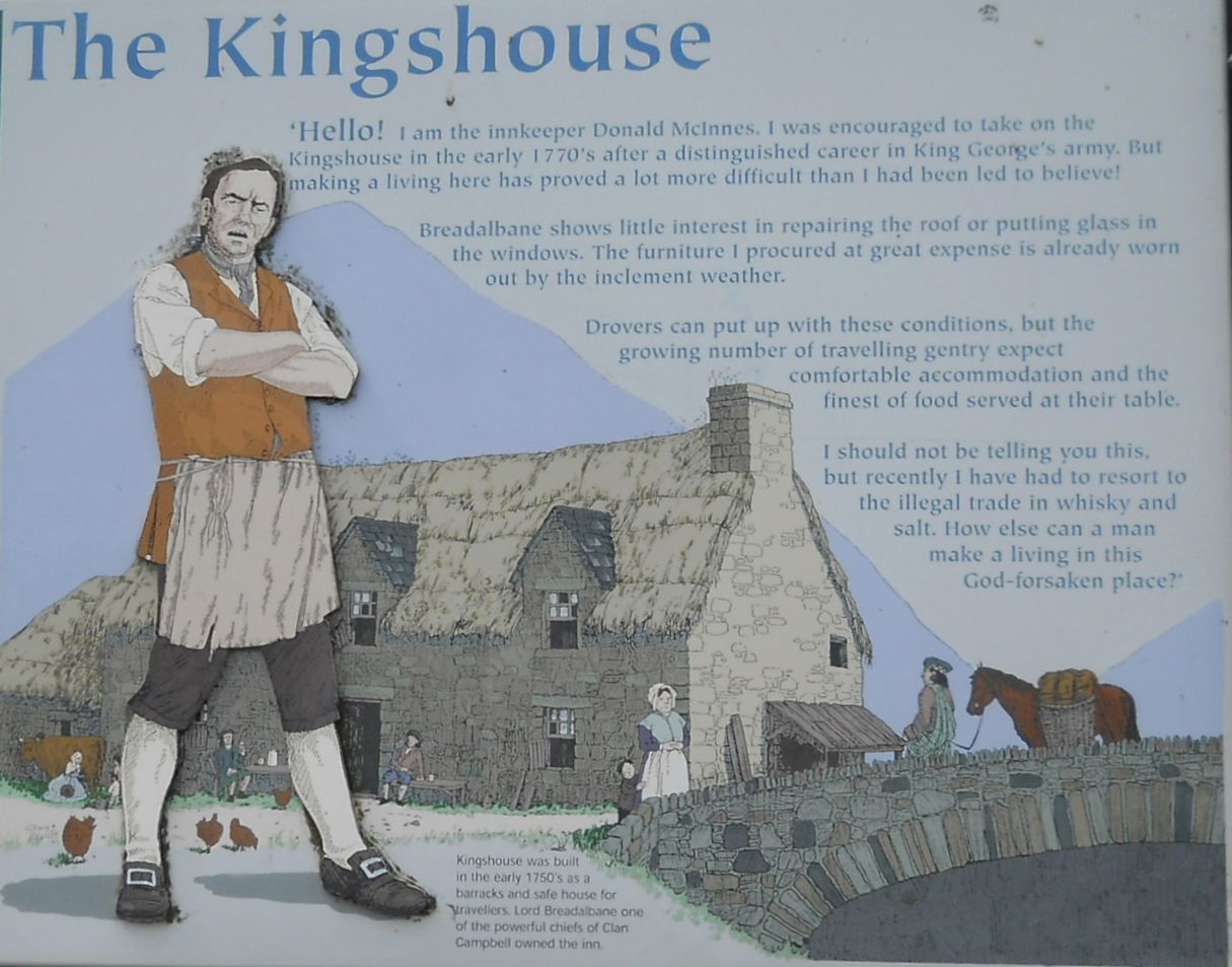 The
Kingshouse in Glen Coe
The Kingshouse was built in the early 1750’s as a barracks and safe house for travellers. Lord Breadalbane one of the powerful chiefs of Clan Campbell owned the inn. The Kingshouse: ‘Hello’ I am the innkeeper Donald McInnes. I was encouraged to take on the Kingshouse in the early 1770’s after a distinguished career in King George’s army. But making a living here has proved a lot more difficult than I had been led to believe! Breadalbane shows little interest in repairing the roof or putting glass in the windows. The furniture I procured at great expense is already worn out by the inclement weather. Drovers can put up with these conditions, but the growing number of travelling gentry expect comfortable accomodation and the finest of food at their table. I should not be telling you this, but recently I have had to resort to the illegal trade in whisky and salt. How else can a man make his living in this God-forsaken place. ( Note: Click here or on above for large format copy ) |
 |
 |
 |
 |
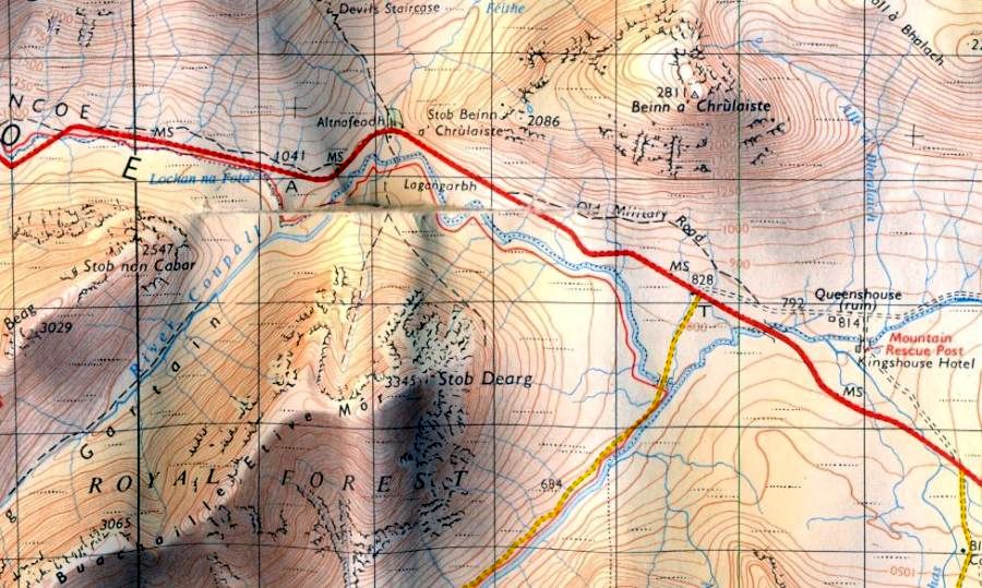 Map of
Beinn a Chrulaiste
in Glencoe |
h
|
 Map of
Beinn a Chrulaiste
in Glencoe |
h
|
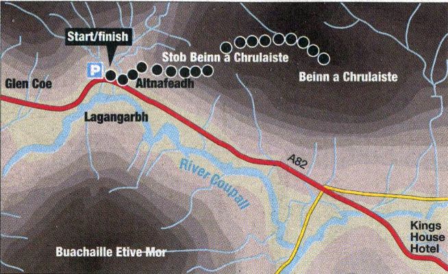
BEINN a'CHRULAISTE - ROUTE DESCRIPTION:
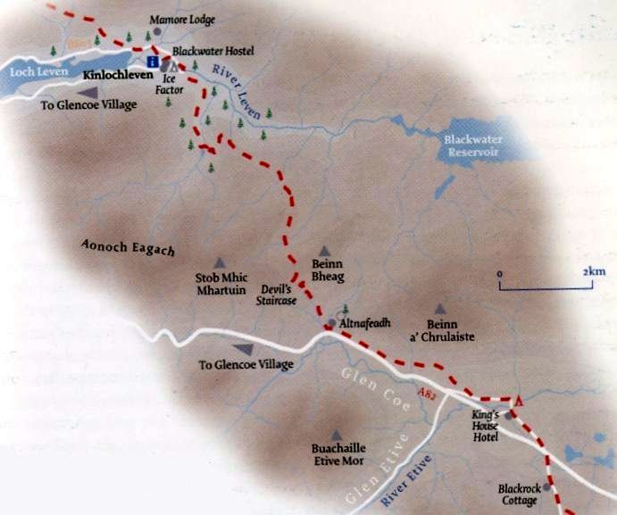 Map of
the West Highland Way
from Kingshouse to Kinlochleven
|
h
|
DEVIL'S STAIRCASE & STOB MHIC MHARTUIN - ROUTE DESCRIPTION:
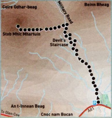 Route
Map for the
Devil's Staircase
|
h
|
 :: Glencoe Photo
Gallery
:: Glencoe Photo
Gallery 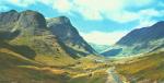
Ben Nevis | Knoydart | Isle of Skye | Isle of Arran | The West Highland Way
The Eastern Highlands | The Central Highlands | The Southern Highlands | The NW Highlands