  |
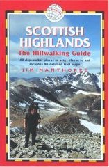
The Scottish HighlandsBeinn Chorranach
|
  |
| |
The Scottish HighlandsBeinn Chorranach
|
|
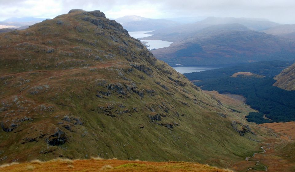
Photographs of a traverse of Beinn Chorranach
and surrounding peaks in the Arrochar Alps
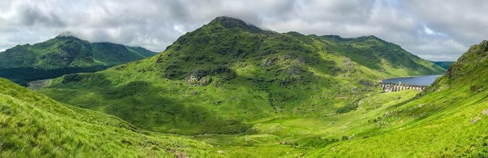
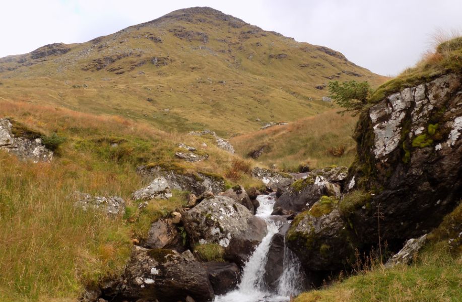
Beinn
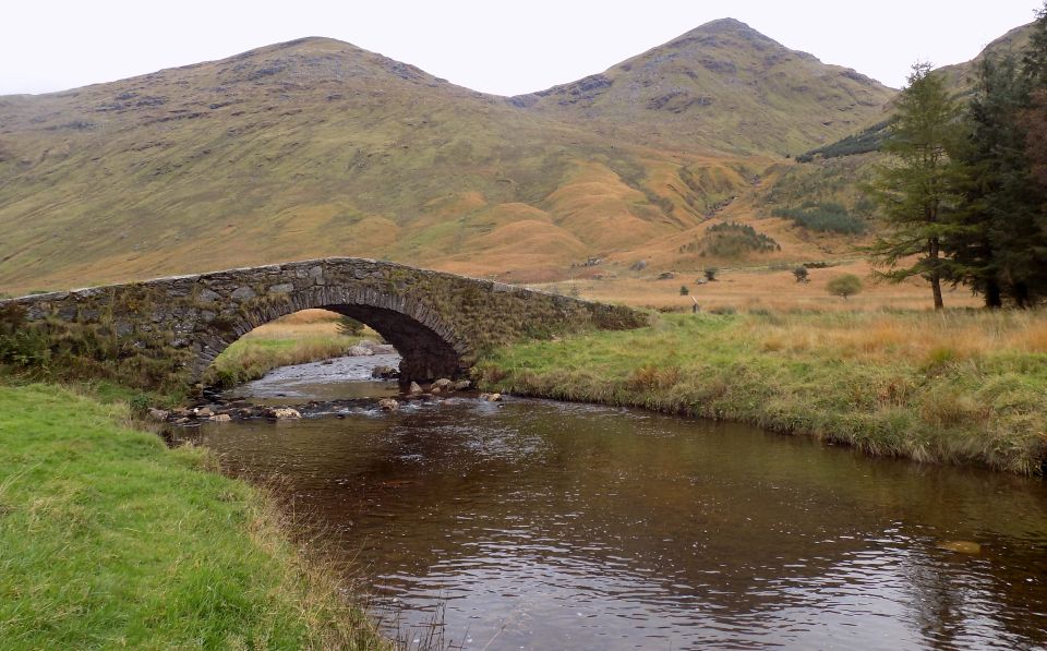
Chorranach and Beinn Ime from Butterbridge in Glen Kinglas The bridge was built
before 1768
as part of the military road connecting Inveraray with Glasgow |
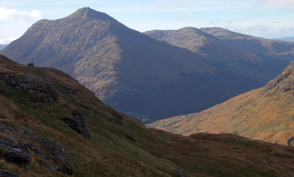
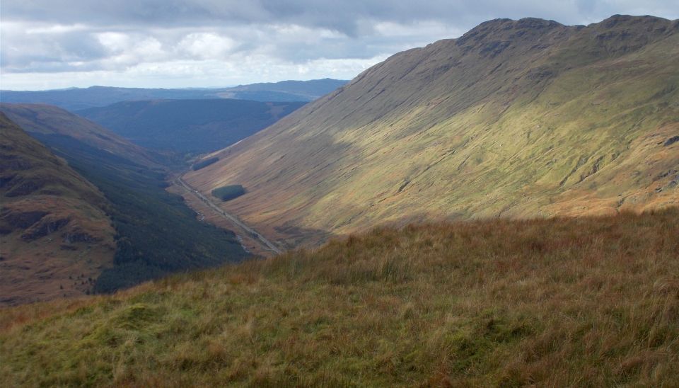
 Beinn
Ime - 3318ft - is
a Munro and Beinn Luibhean - 2815ft, 858m - is a Corbett |
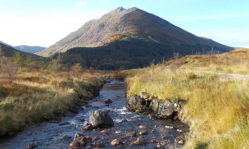
above Glen Kinglas |
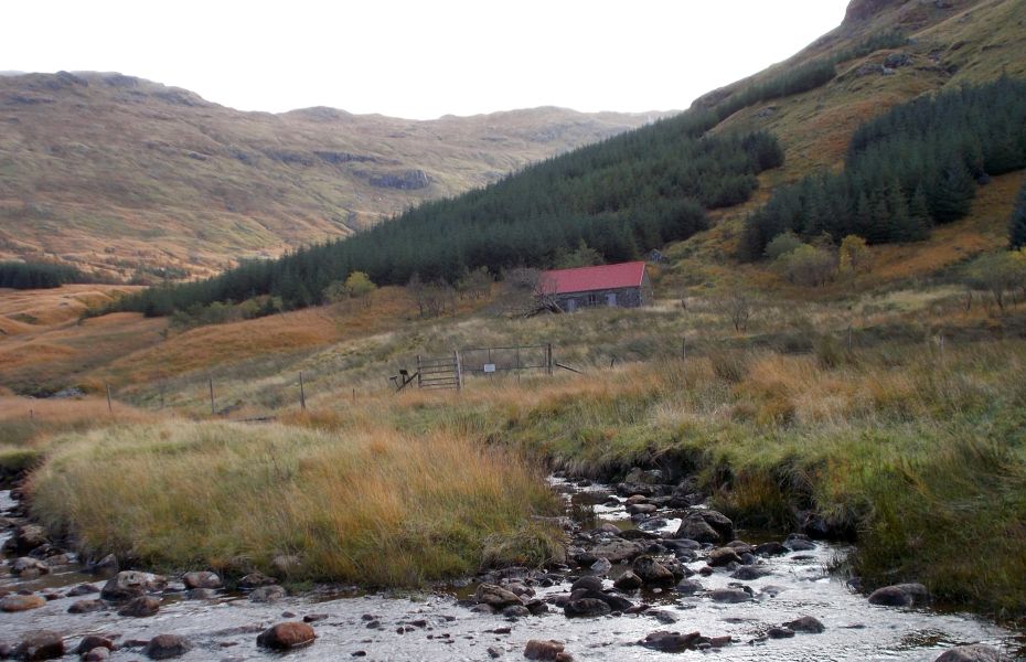
The old cottage at Abyssinia - converted to a bothy |
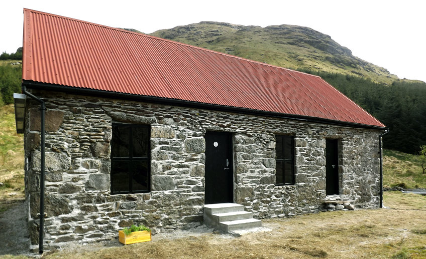
The
old cottage at Abyssinia - converted to a bothy |
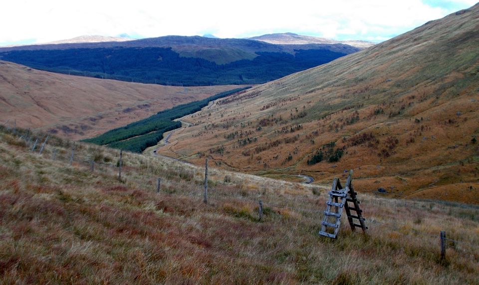 Ladder
style
in Gleann Uaine |
 |
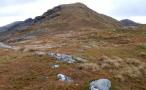
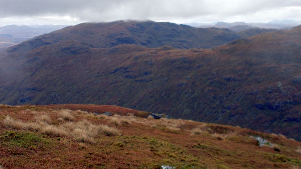
 Binnein
an Fhidhleir
above Glen Kinglas from Beinn Chorranach |
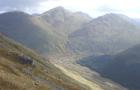
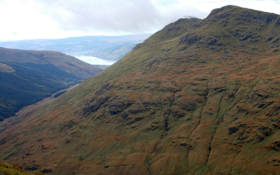
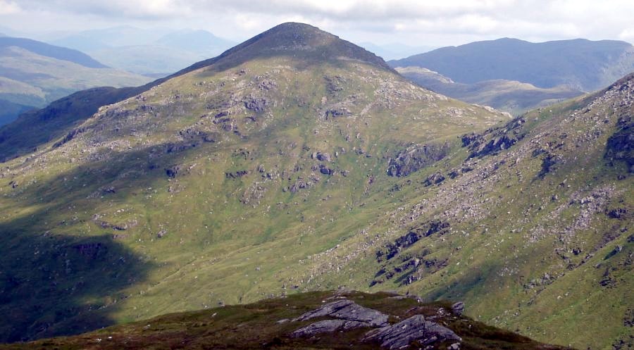
 Beinn
Chorranach and Ben Vane
above Loch Sloy Dam |
|
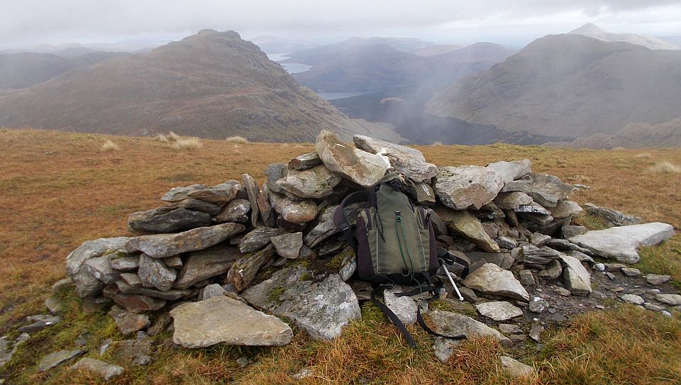
Ben Vane and A' Chrois ridge from summit of Beinn Chorranach |
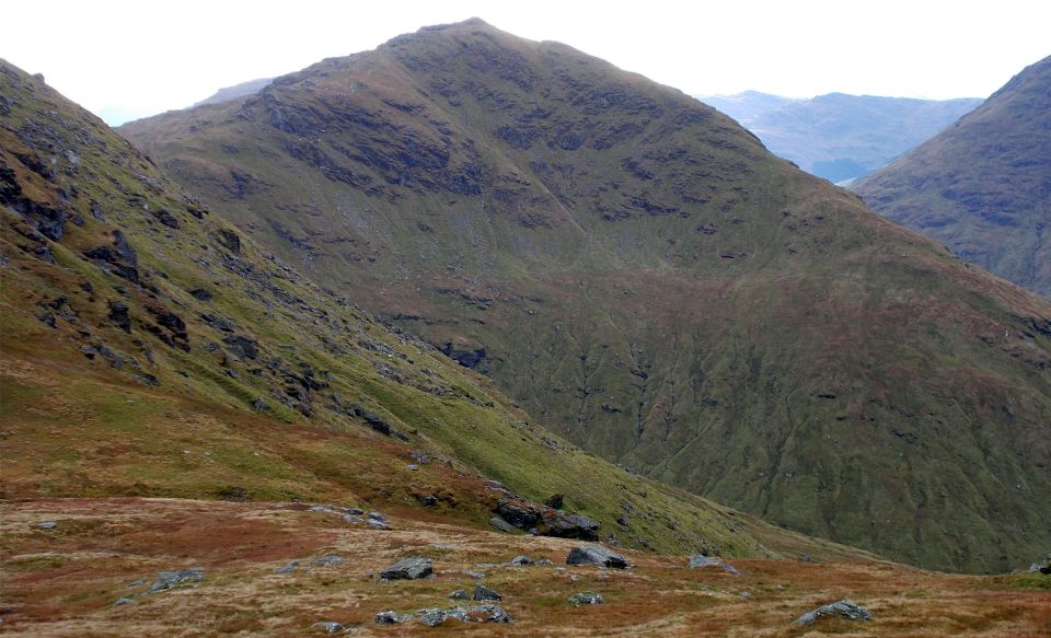 Beinn
Luibhean
from Beinn Chorranach |
 |
 Beinn
Ime
from Beinn Chorranach |
 Ben
Vorlich
from Beinn Chorranach |
 Binnein
an Fhidhleir
above Glen Kinglas from Beinn Chorranach |
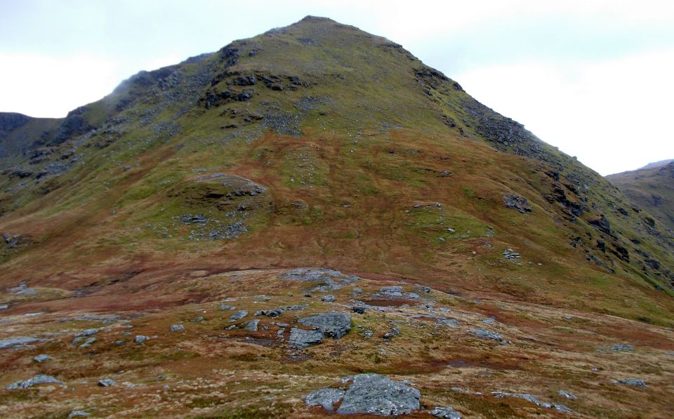
 Beinn
Ime
on descent to Glen Kinglas |
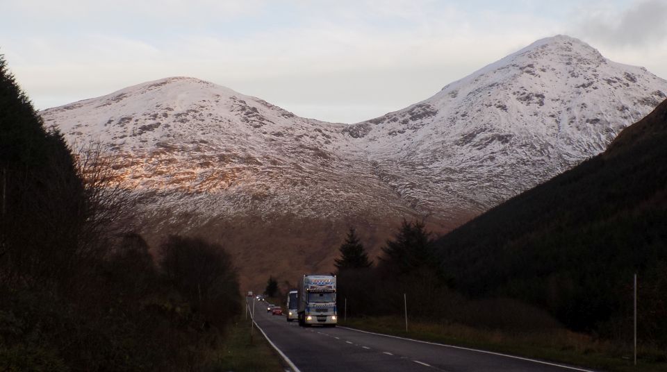
Beinn Charronach and Beinn
Ime from the A83 through Glen Kinglas |
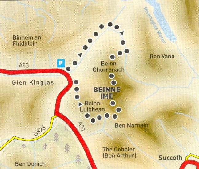 |
 Map of the Arrochar Alps
|
|
 |
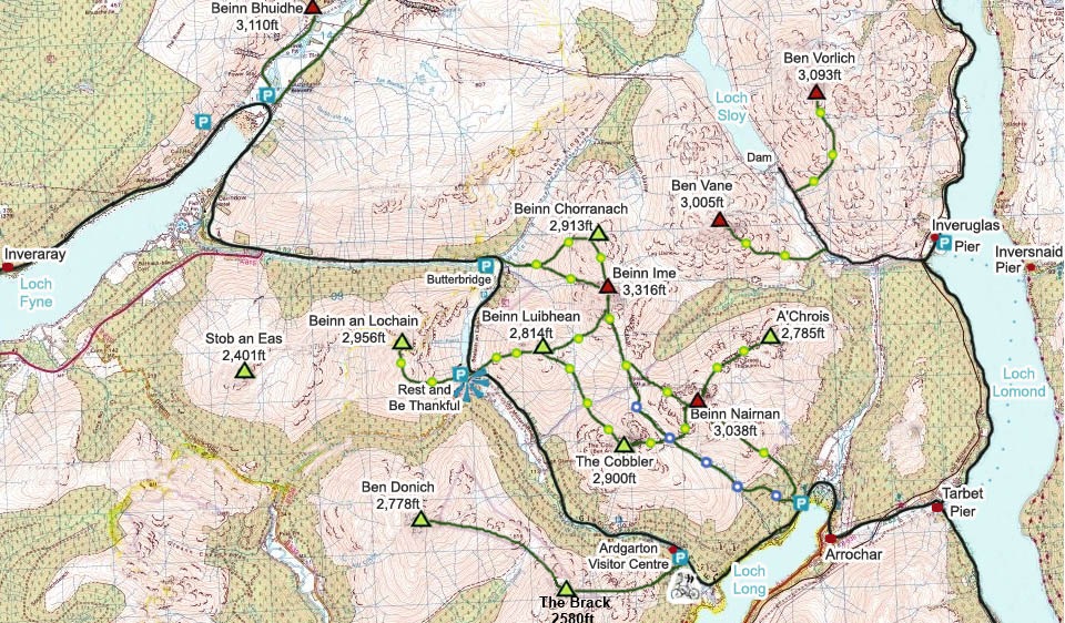
| Location:
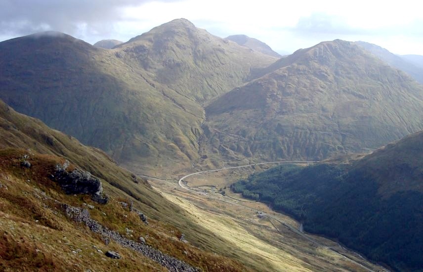
north of Arrochar Map: OS Landranger 56 [GR 255 0%] Distance = 7.5 miles ( 12km ) Time: 3 hours 15 minutes Terrain: tracks and mountain paths Beinn Chorranach is the quietest of the Beinn Ime massifs three main hills. The north ridge offers the finest ascent plus the option of Beinn Ime for Munro baggers. From the car park at Butterbridge follow the track north-west to the cottage of Abyssinia. Leave the main track, ford the Kinglas Water and ascend the track to the old cottage. Follow the small burns bank up the hillside to a deer fence. Follow good animal tracks below it east then south into Gleann Uaine. Cross over a ladder stile and ascend directly to the ridge of Beinn Chorranach. Follow the long ridge to the summit cairn then descend to Glas Bhealach. the col below Beinn Ime, where there's a choice of routes — west down to Butterbridge or up Beinn Ime. Over Beinn Ime, a clear path leads to the summit. Continue south on a path heading for the Cobbler and Beinn Narnain, descending to the col between Ime and Luibhean [double baggers can pick up the Corbett if desired]. From the pass, follow the right [east] side of the bum draining north from the col to descend into the corrie below Ime's west face and below the Glas Bhealach. Follow the burn down then cross to the west side and a rough path between the burn and felled forestry. Descend to an aerial on a hillock on the left. Cross a fence to gain the aerial, from where a track tends down to the road. Pick the driest line to gain the old tarmac road in the floor of the glen, and follow it back over General Wade's Butterbridge to the car park. |
Glencoe | Ben Nevis | Knoydart | Isle of Skye | Isle of Arran | The West Highland Way
The Eastern Highlands | The Central Highlands | The Southern Highlands | The NW Highlands