Location:
Wester
Ross
Grade:
Moderate mountain walk
Distance:
7miles/12km
Time: 5/6 hours
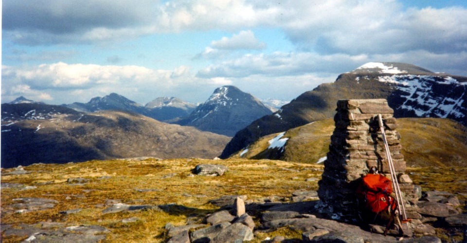
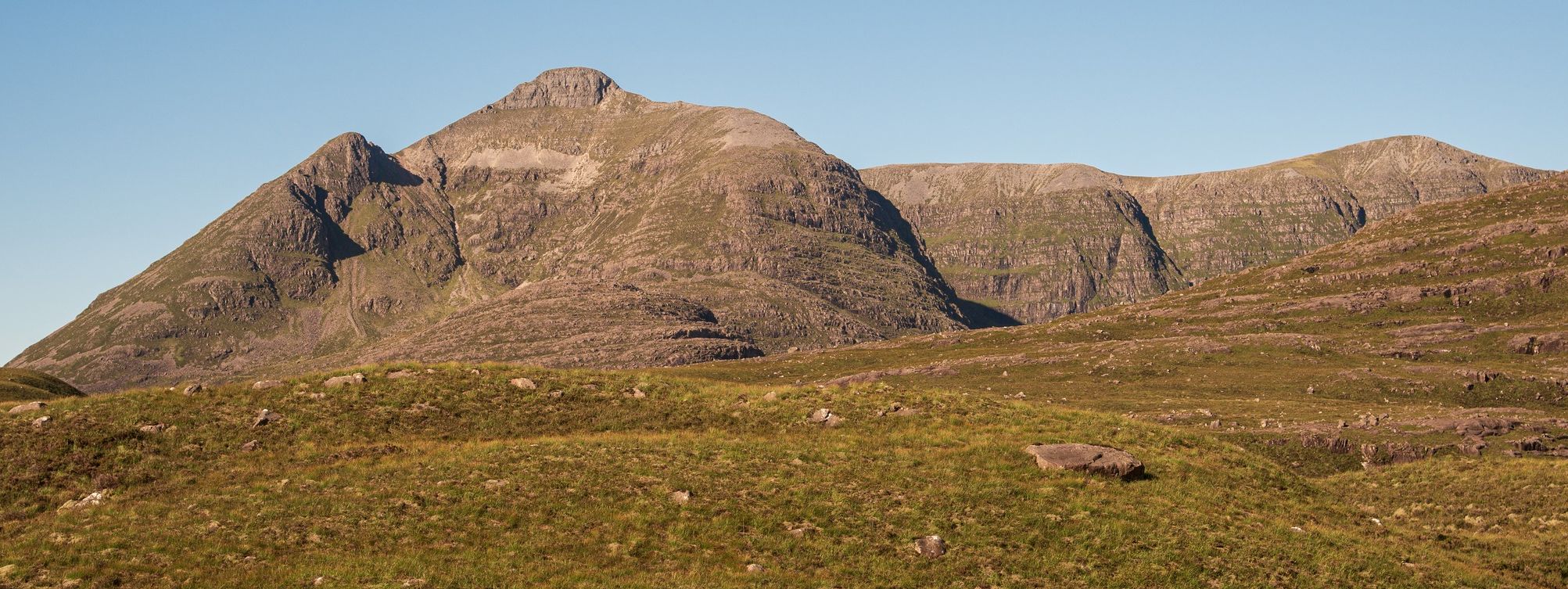
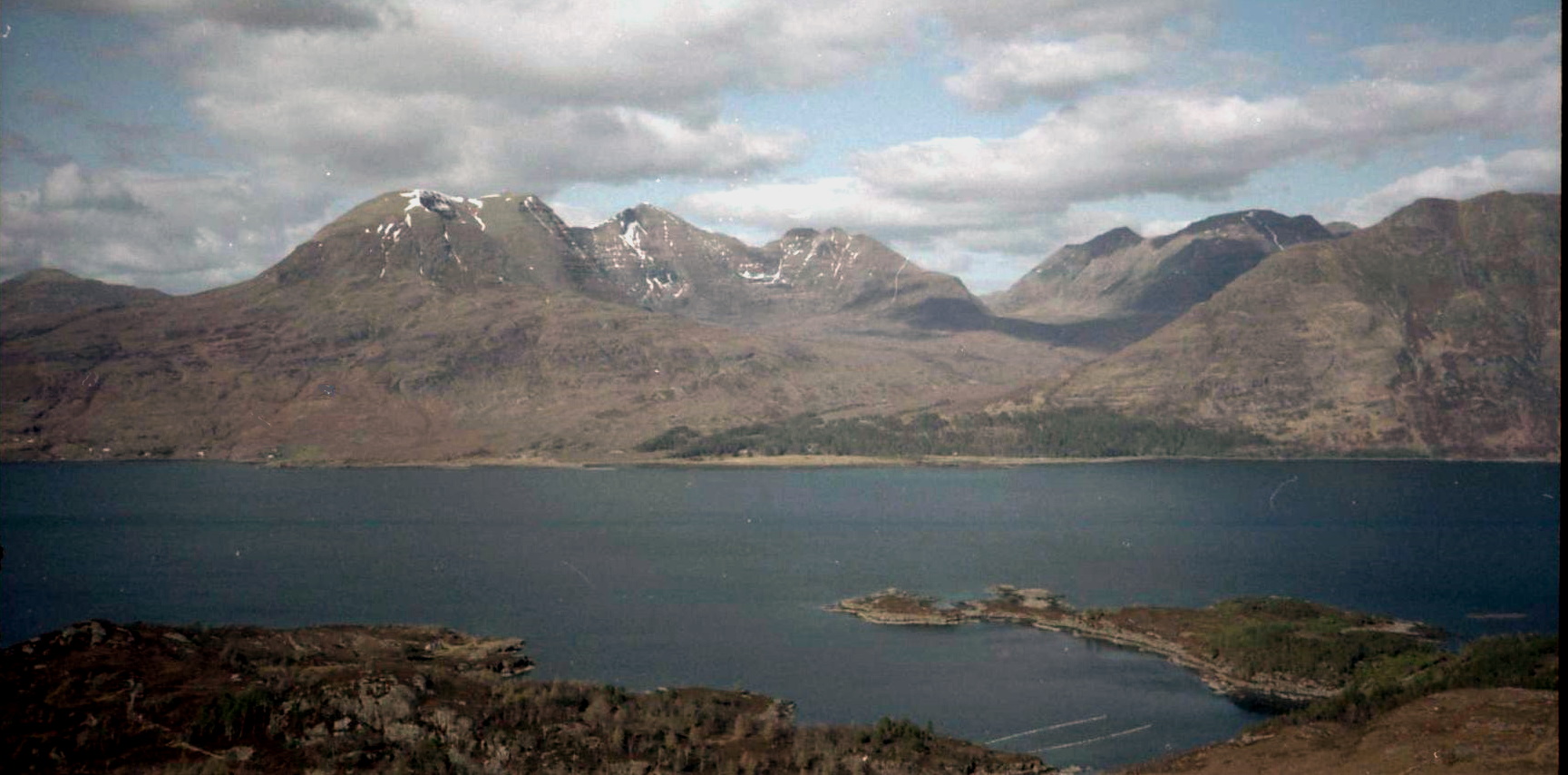
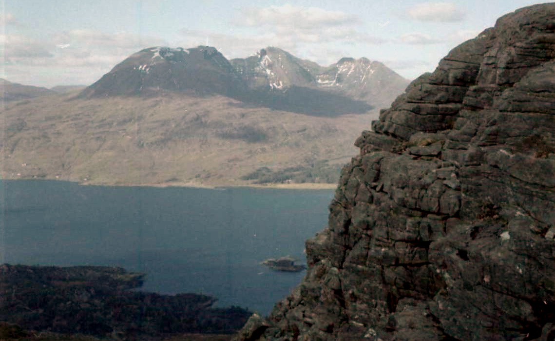
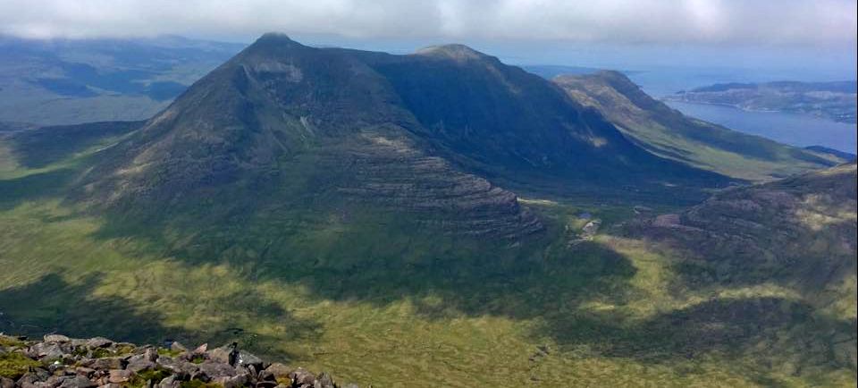
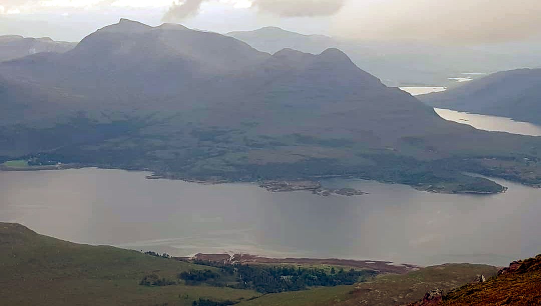
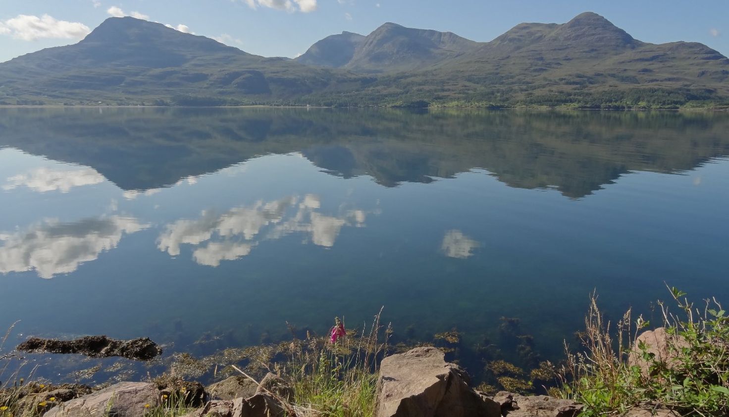
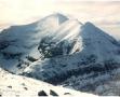
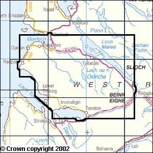
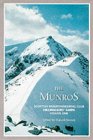
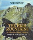
Above Loch Torridon
the dark sandstone tiers of Beinn Damh
give way to steep flanks,
beautifully scooped corries and craggy
shoulders that give this
903 metre Corbett such character.
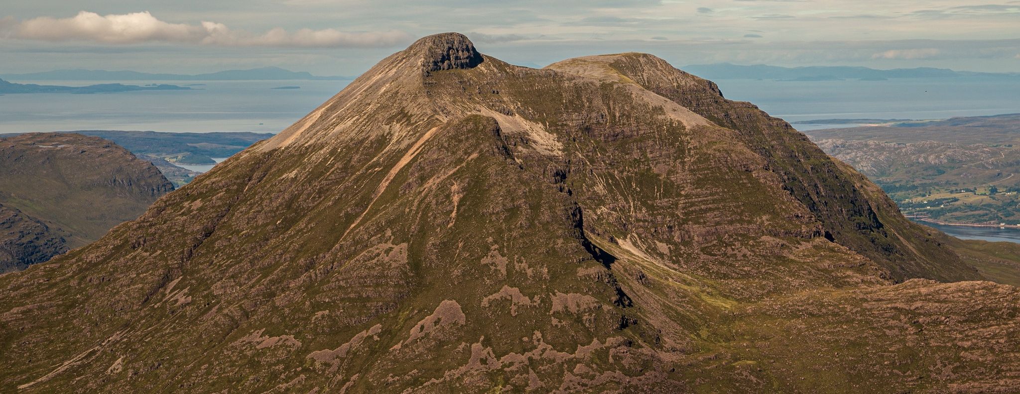
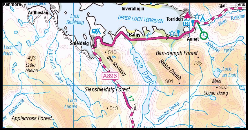
Most visitors to
Beinn Damh
park at the Loch Torridon Hotel where the
hotel has provided a walking trail
through the gardens to the A896 road
near the bridge over the Allt Coire
Roill. Across the road a gate gives access
to a stalker’s path which climbs uphill
through the typical Torridonian
forest of pines and rhododendrons. After
about half a mile the
rhododendrons fade out and the
trees became smaller. Beyond the treeline
the footpath divides: the left
branch follows the Allt Coire Roill and the
right fork climbs into the Toll
Ban, the “white corrie" of Beinn Damh, and well
named today.
The latter route
climbs
steeply up towards
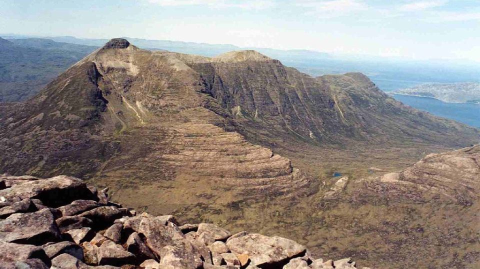
the broad ool that separates Beinn Damh proper
from its northern outlier, Sgurr na
Bana Mhoraire.
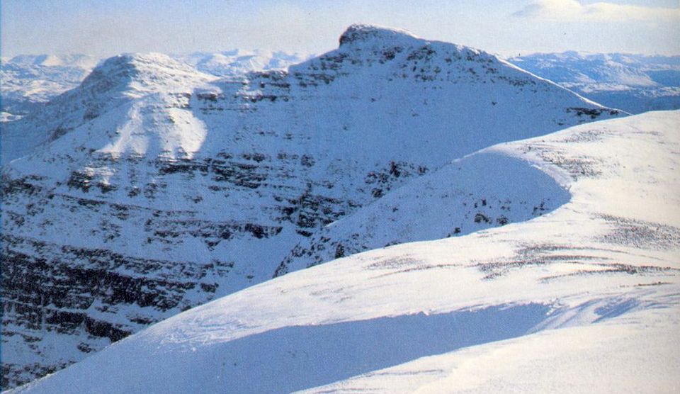
This saddle
itself is pretty featureless and in the hard,
granular snow the path had vanished. The first of two
subsidiary tops
is easily bypassed on its west
‘side. Great quartzite boulders fill the dip between
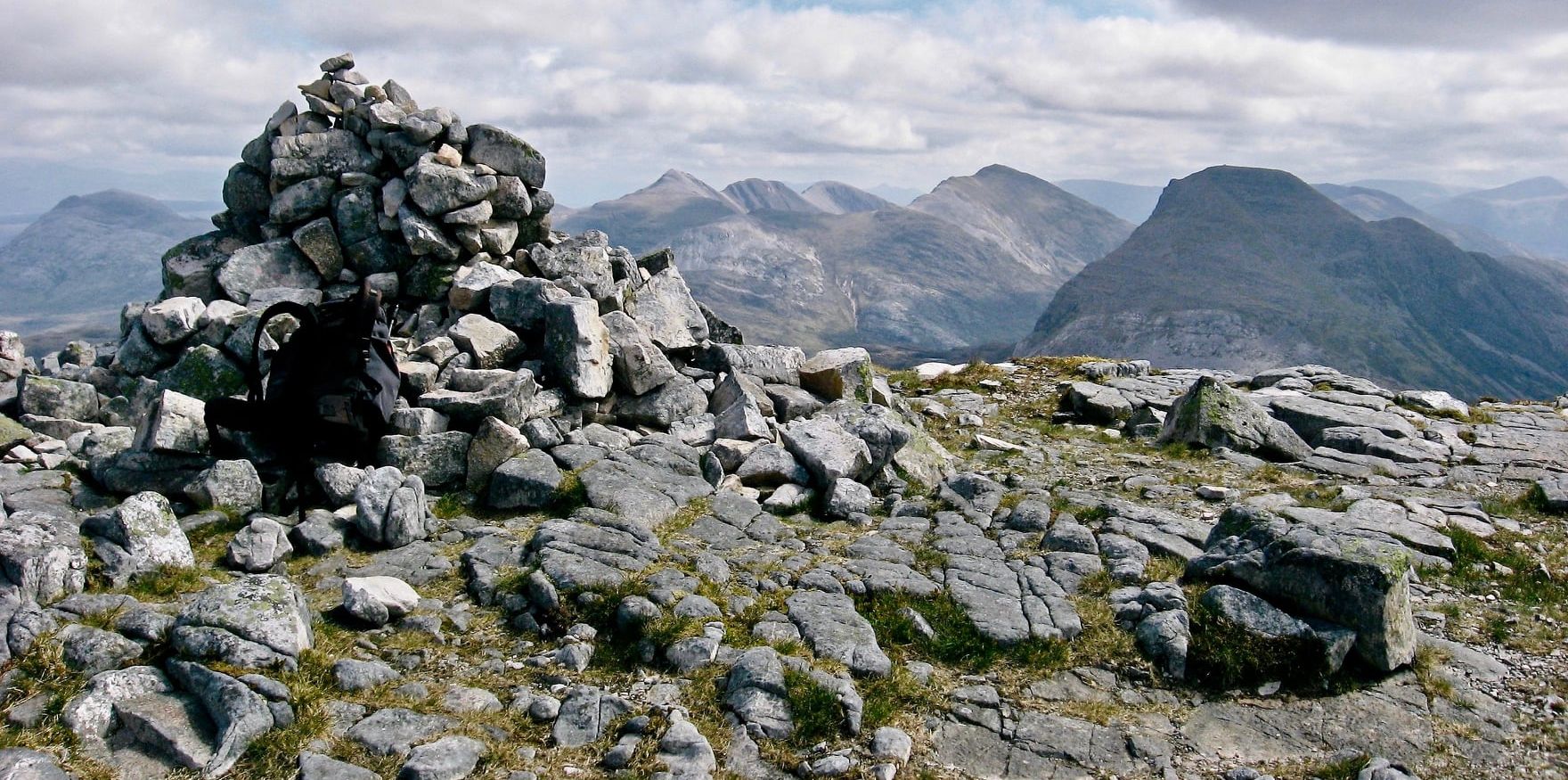
these two tops and from the second a
narrow ridge makes an airy
staircase to the main summit where the cairn sits
on the very edge of the steep Coir’
an Laoigh, a high eyrie with dramatic
views.
The north-east
ridge, the Stuc Toll nam Biast, makes for
a steep line of descent to the pass of the Drochaid
Coire Roill where the left fork of the
earlier ascent route runs across the foot
of Coire Roill - if descending by the
Stuc Toll narn Biast, most of the
difficulties can be avoided
on the right - or return via ascent route.
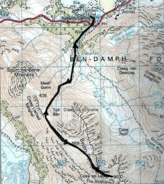
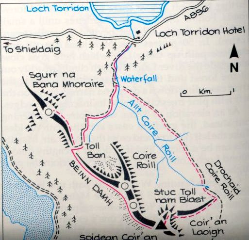
Follow the
signposts for Beinn Damh through the
grounds of the Loch Torridon Hotel.
Cross the A896 and go through a gate. A
stalker’s path climbsthrough woodland
beside the river's gorge.
Follow this path until it divides.
Go R, in
a SW direction to the Toll Ban corrie.
Climb to the col
between Sgurr na Bana Mhoraire and Beinn
Damh.
Continue SE to the first of the
false summits which is bypassed on the
right.
Cross a boulder-strewn
dip to the next summit from where a
narrowing ridge leads to the true summit.
Return by the same route.