  |
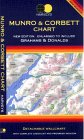
The Scottish HighlandsBen Ledi & Ben Vane
|
  |
| |
The Scottish HighlandsBen Ledi & Ben Vane
|
|
Photographs of an ascent
of the two Corbetts Ben Ledi and Ben Vane
above Loch Lubnaig in the
Trossachs Region
of the Southern Highlands of Scotland
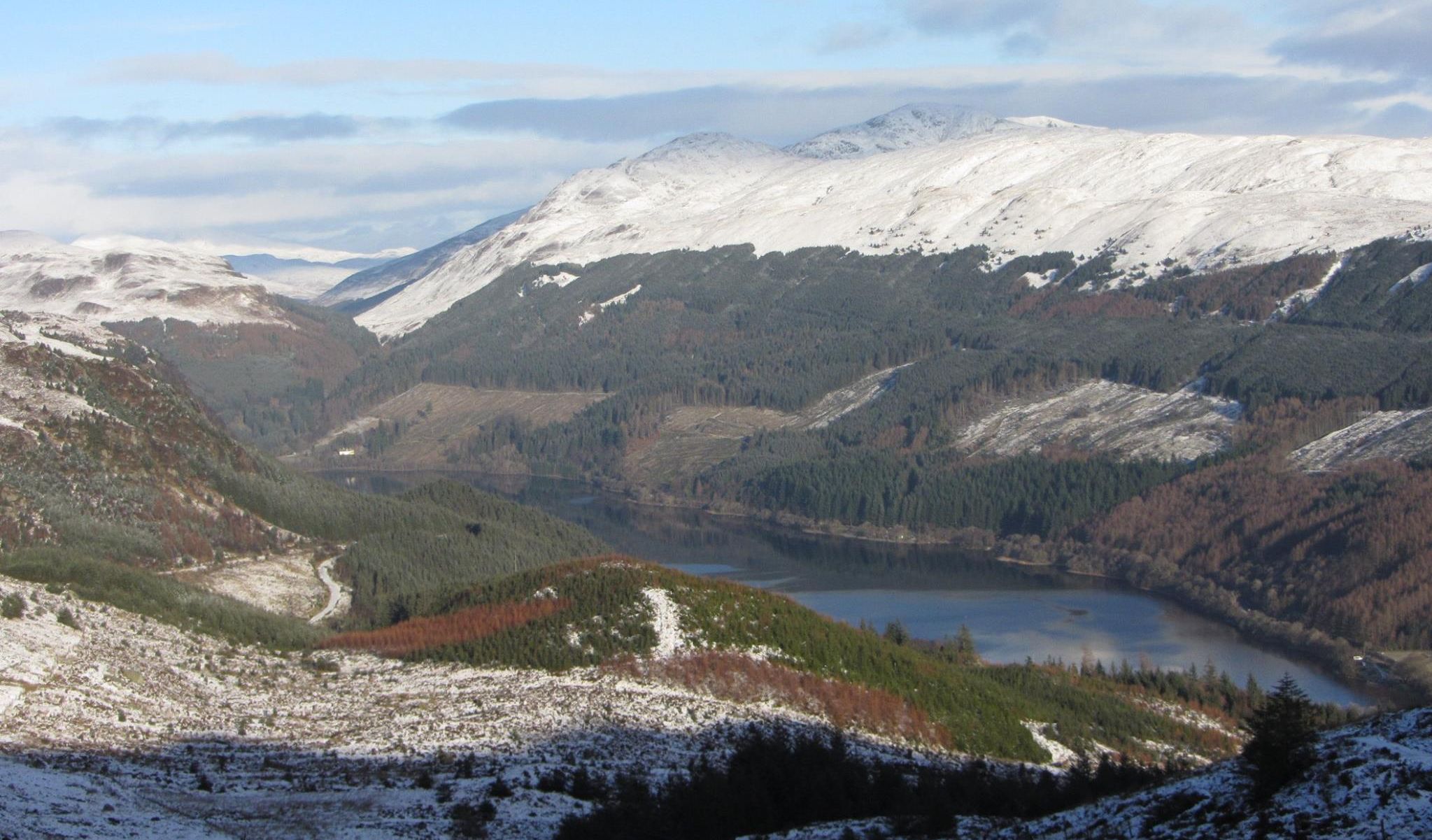
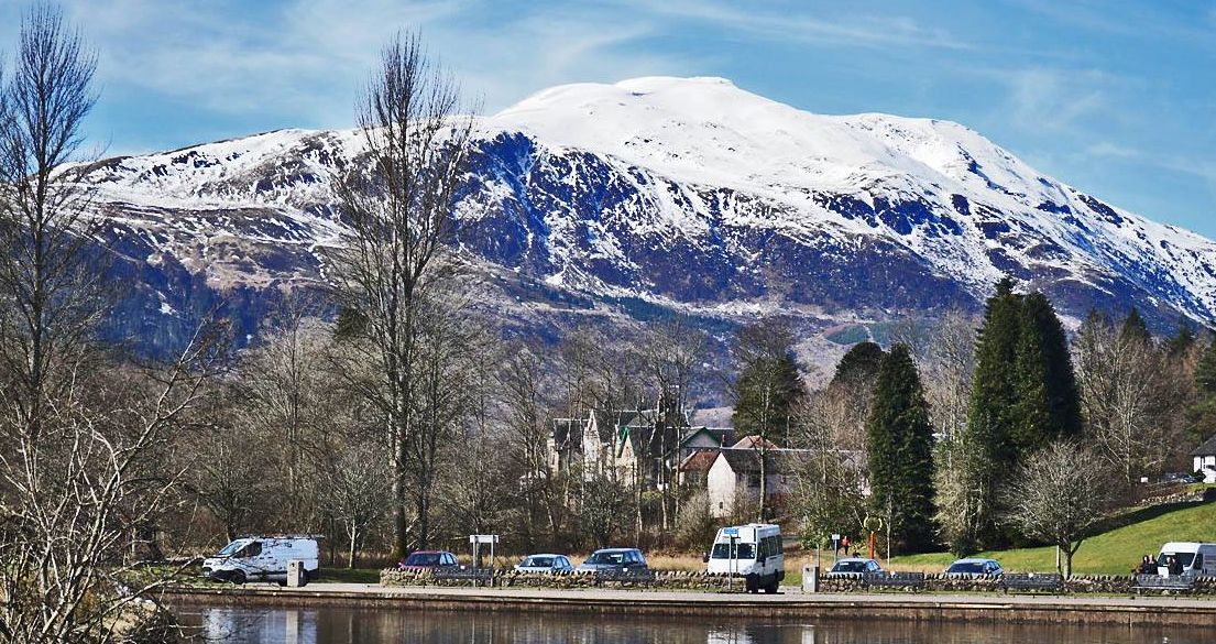
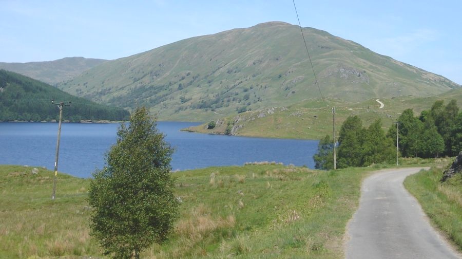 Glen Finglas Reservoir
|
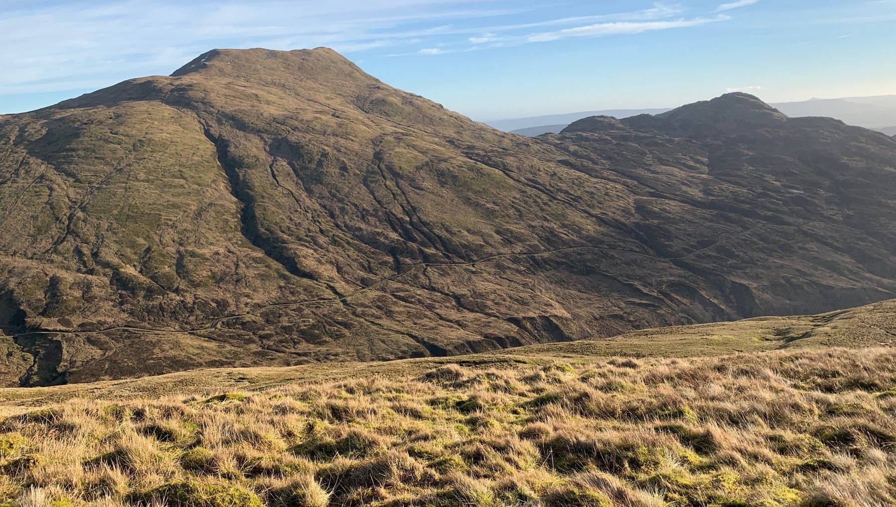
 Ben Vane ( 2694ft )
- a Corbett |
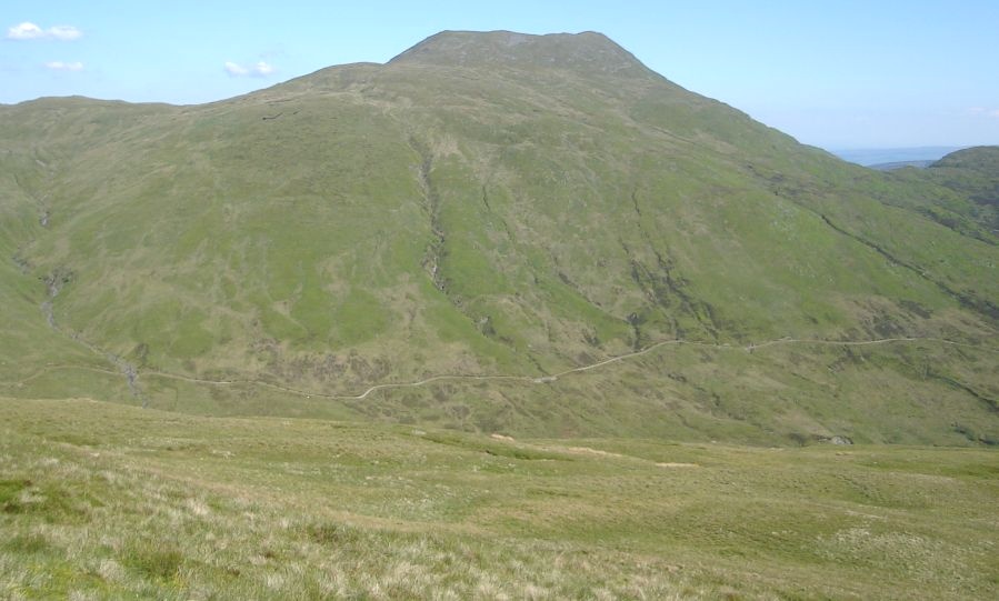
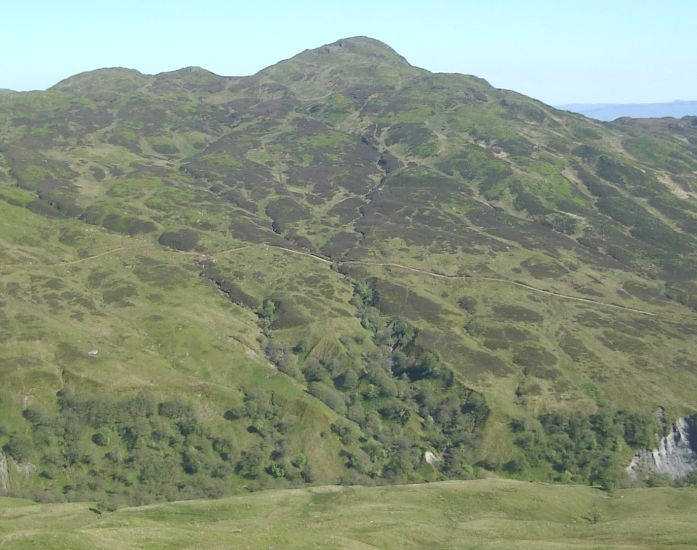
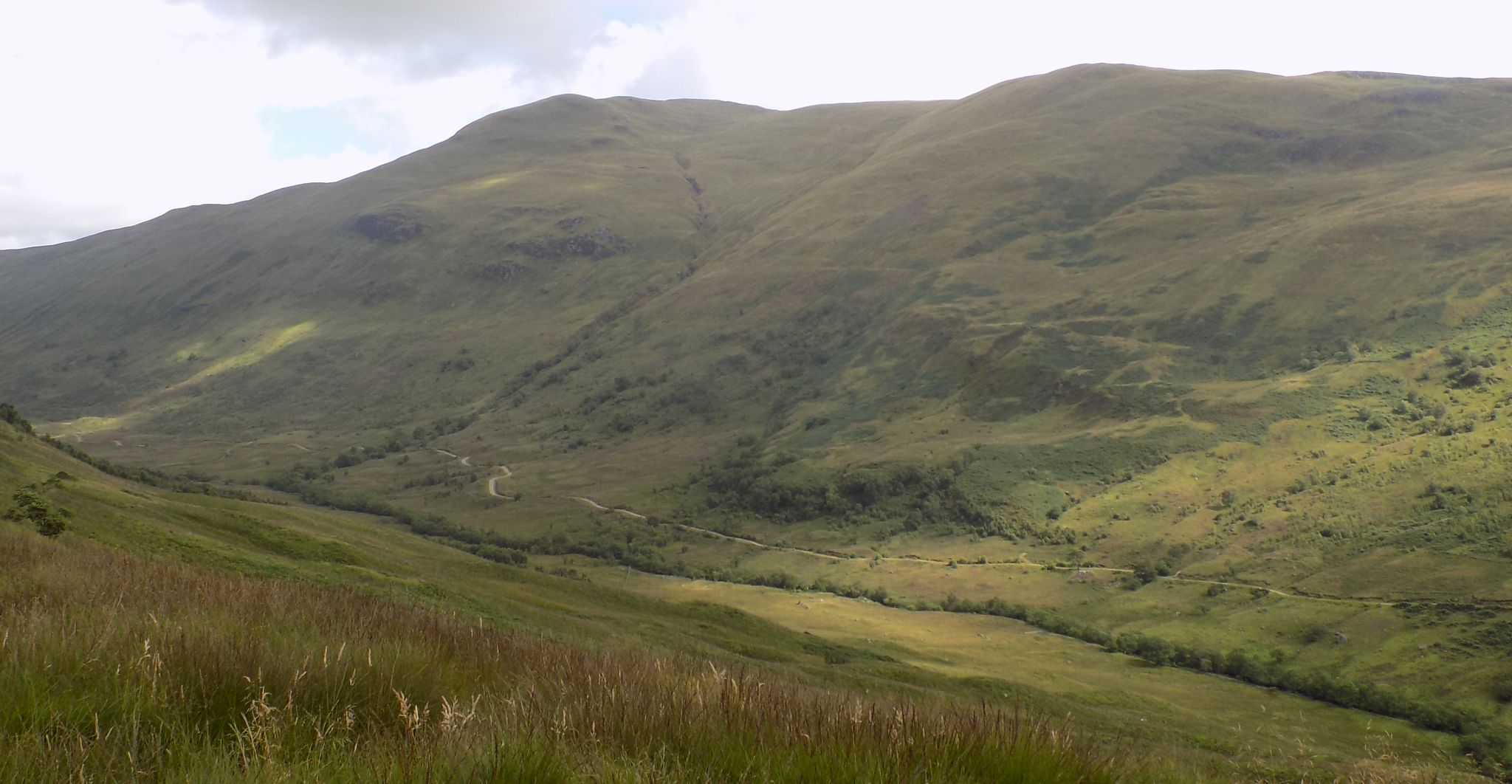 Ben Vane above the Allt Gleanne nam Meann
on ascent of Meall Cala |
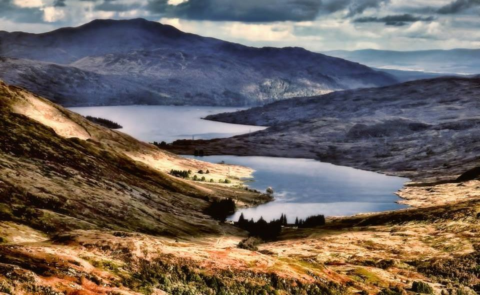
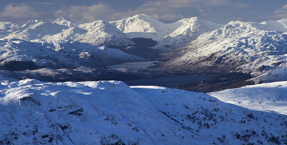
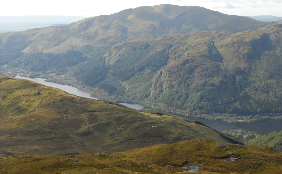
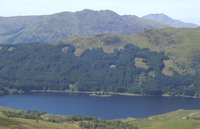 Glen Finglas Reservoir
and Ben Venue and Ben Lomond from Ben Ledi ( 2883ft ) - a Corbett |
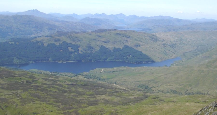 Glen Finglas Reservoir
and Ben Lomond from Ben Ledi |
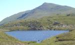
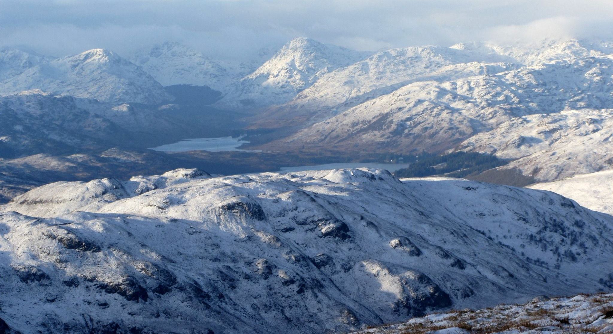
 Lochan nan Corp
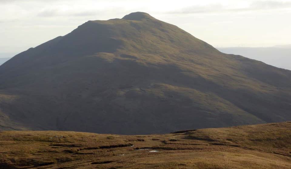
and Ben Ledi ( 2883ft ) - a Corbett |
 Ben
Vorlich, Stuc a
Chroin
and Beinn Eich from ridge from Ben Ledi to Ben Vane |
 Ben Ledi and Beinn
Each
from Stuc a Chroin |
 |
 |
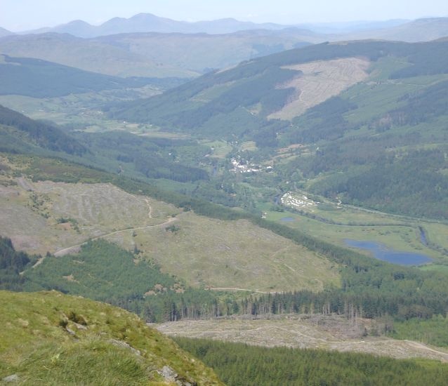 Strathyre and Loch Lubnaig
|
 Strathyre Village
|
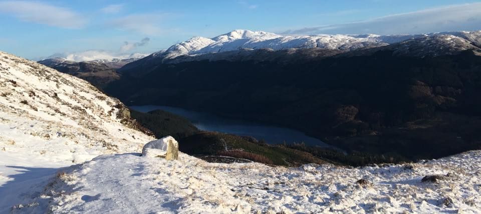
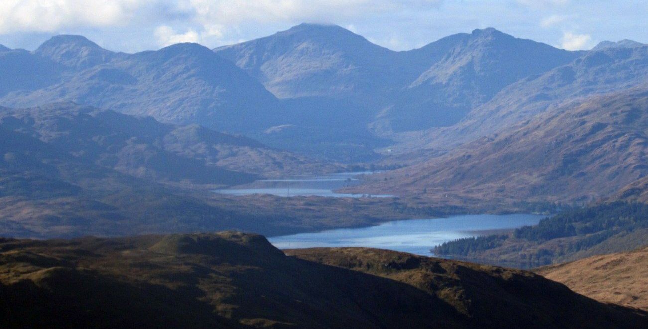
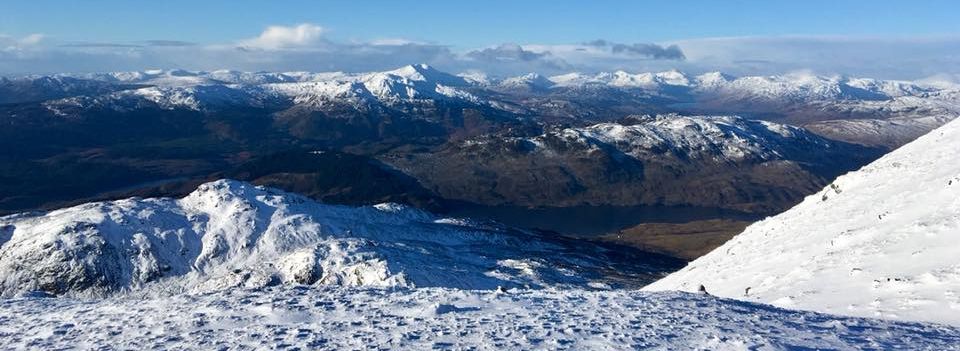
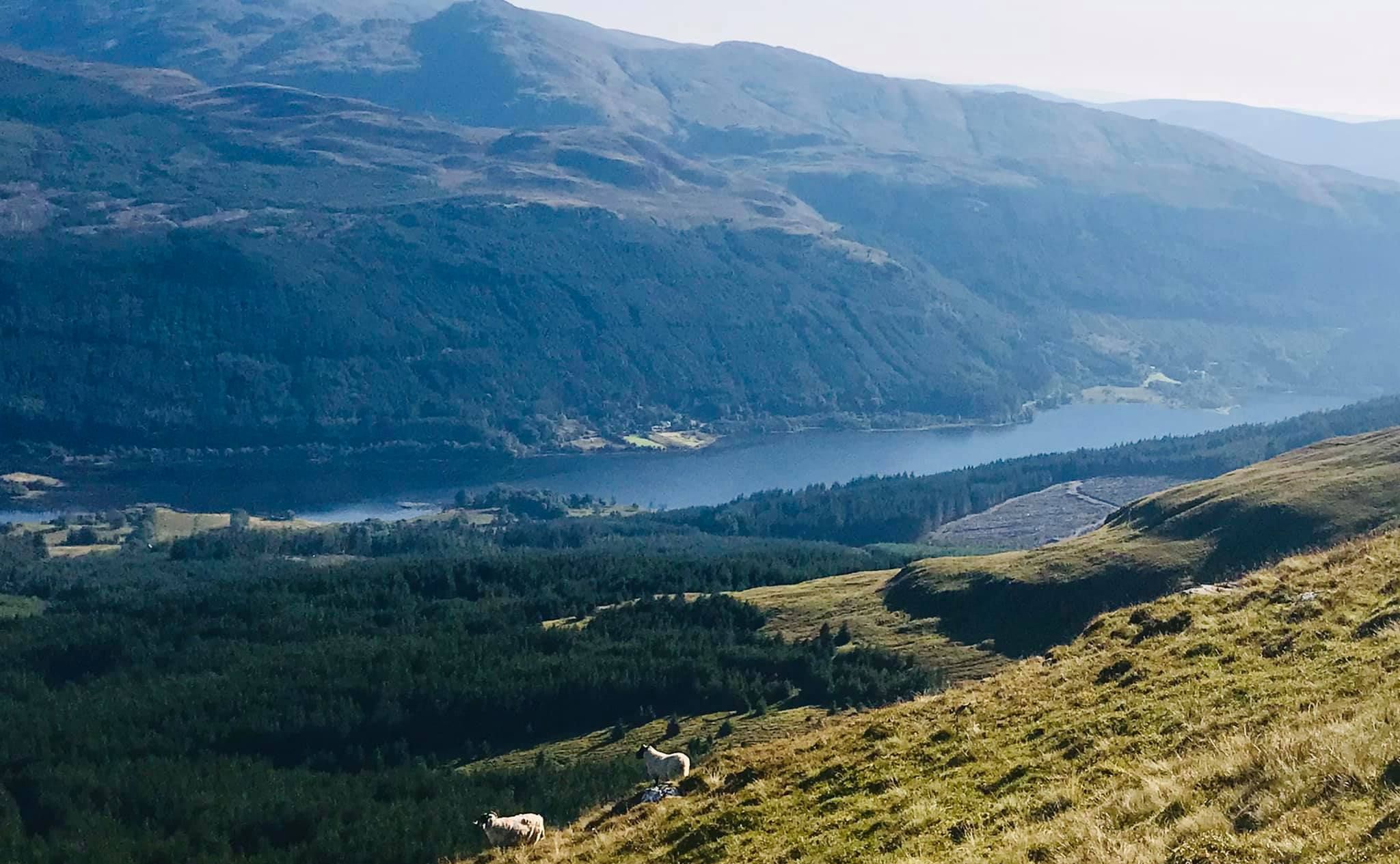 Loch Lubnaig
from Ben Vane |
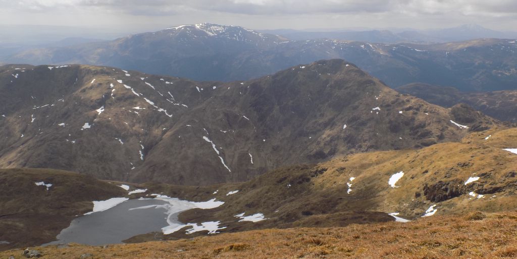
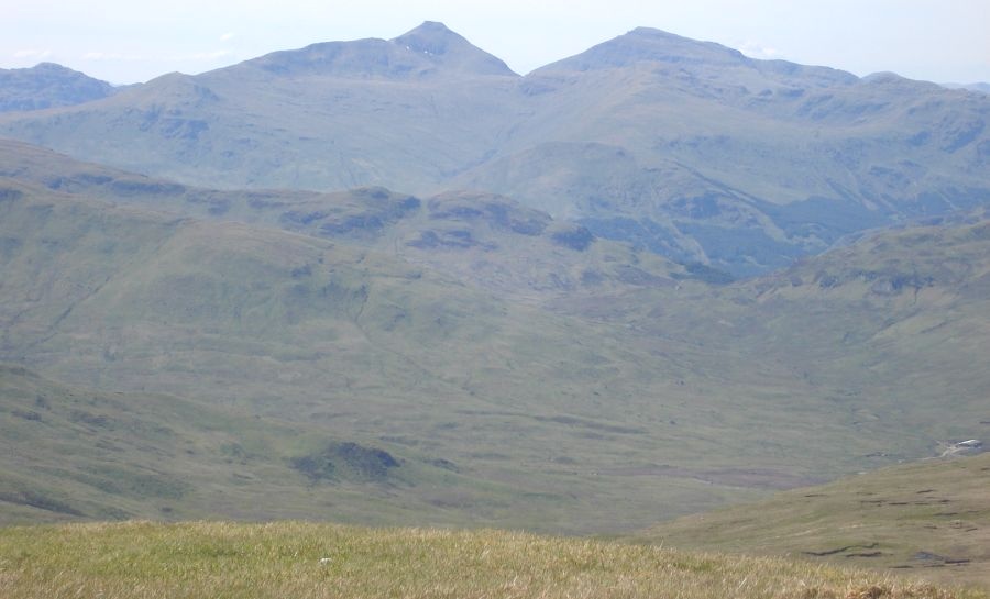 Stob Binnein
and Ben More
from Ben Vane |
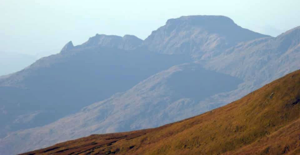 Arrochar
Alps
( Ben Arthur / The Cobbler and Beinn Narnain ) from Ben Vane |
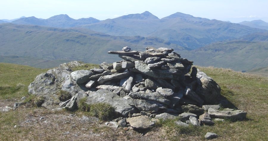 Stob Binnein and Ben More
from summit cairn on Ben Vane |
 Ben Ledi ( 2883ft )
from Ben Vane |
 Ben Ledi ( 2883ft )
|
|
Ben Ledi ( 2883ft )
|
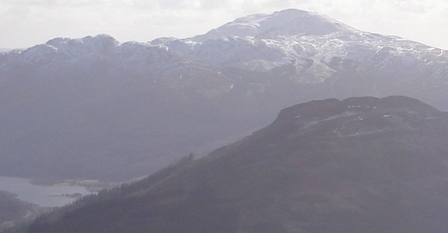
 Ben Vane
and Ben Ledi
from Trig Point on Stob Fear-tomhais |
|
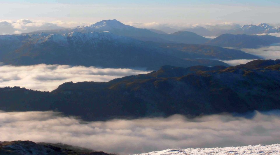
 Ben
Ledi above Loch
Venacher
from Beinn Dearg |
 |
 Arrochar Alps
from Ben Ledi |
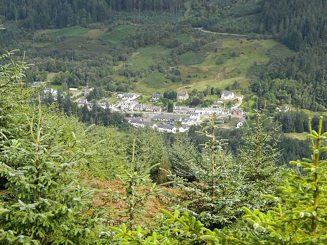
 Ben
Ledi
from Callander |
 |
 |
 Ben
Lomond and Arrochar
Alps
from Ben Ledi |
 Ben
Lomond
from Ben Ledi |
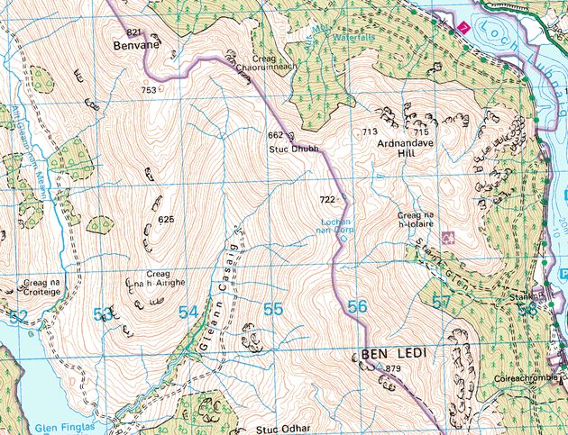
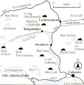 Location Map for Ben Ledi
and Ben Vane |
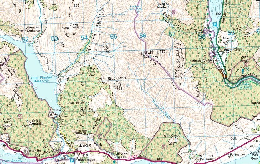
 Map of Ben Ledi and Ben
Vane
|
 Map of Ben Ledi
|
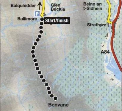
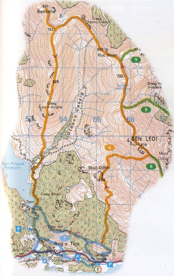 Route Map for Ben Ledi and Ben
Vane
( Note: Click here or on map for large format copy ) |
 Route Map for Ben
Ledi
|
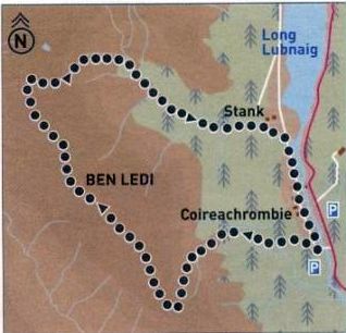
BEN LEDI CIRCUIT - ROUTE DESCRIPTION:
 Route Map for Ben
Vane
|
BEN VANE - ROUTE DESCRIPTION:
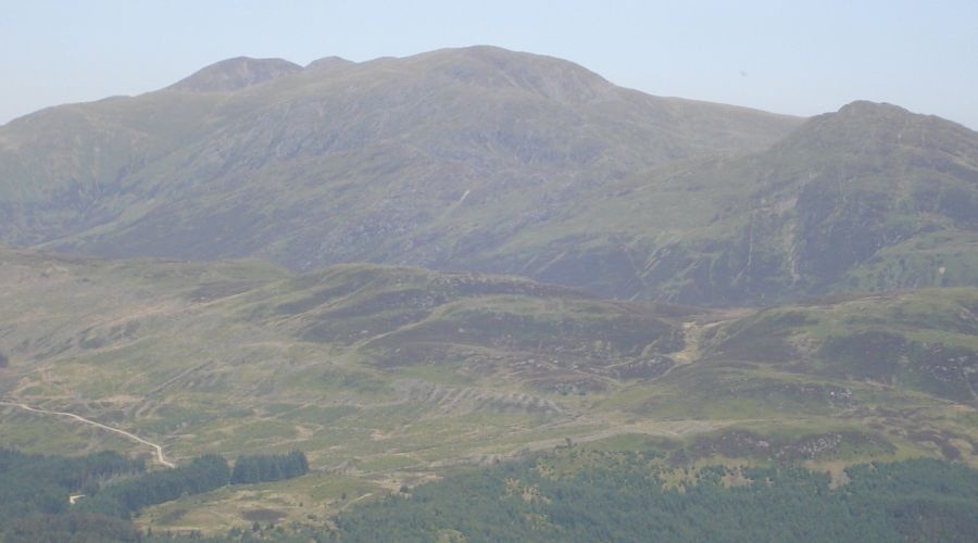
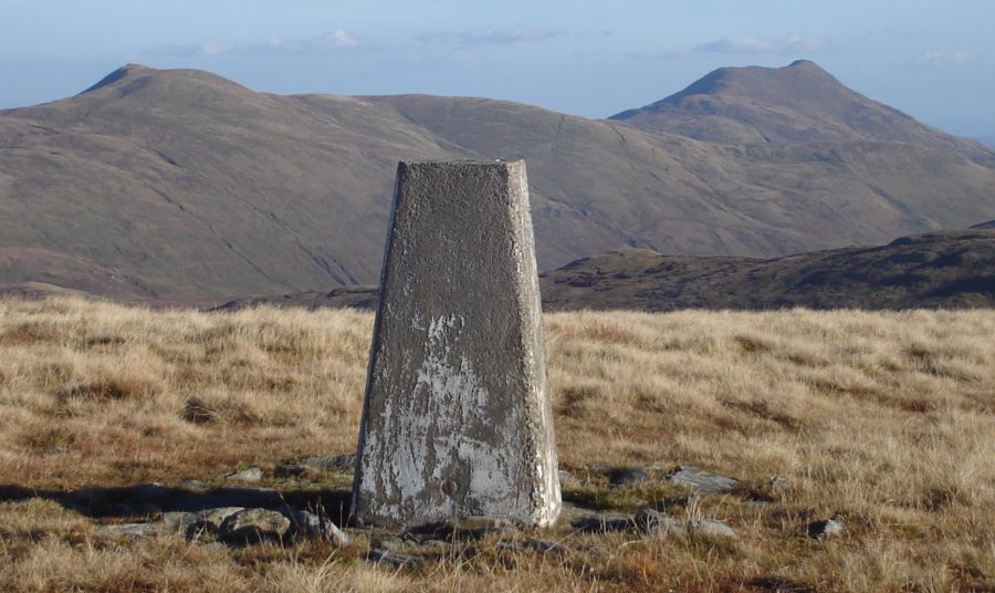
 Stuc Odhar ( 674m ) - an outlier
of Ben Ledi
|
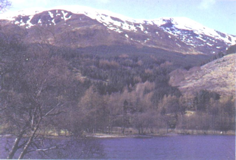
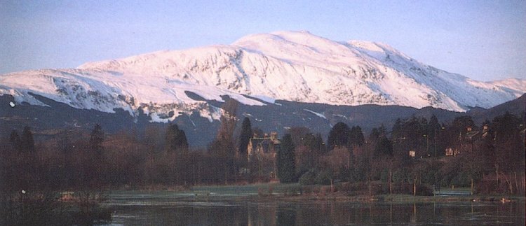 Ben Ledi ( 2883ft ) in
winter
Ben
Ledi is a
Corbett in the
Trossachs
some 8Km to the NW of Callander |
 Ben
Ledi from Meall
an t-Seallaidh
|
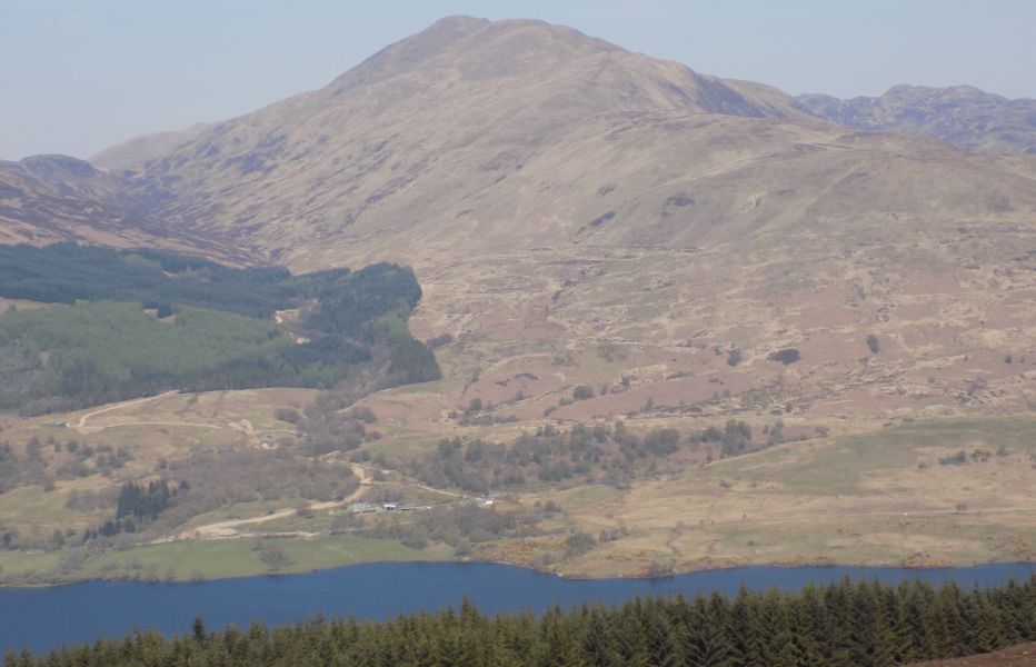
 Ben
Ledi above Loch Lubnaig
on ascent of Beinn Each |
 Ben
Ledi above Loch Lubnaig
|
Art Print by David Rankin from Photogold |
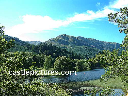
Ben Ledi in summer |
 :: Ben Ledi
& Ben Vane Gallery
:: Ben Ledi
& Ben Vane Gallery