  |
The Scottish HighlandsBen
Vane & Ben Vorlich
|
  |
| |
The Scottish HighlandsBen
Vane & Ben Vorlich
|
|
Photographs
of Ben Vane and Ben
Vorlich
in
the Arrochar
Alps
above Loch Sloy and Loch Lomond
Ben Vane Ascent :: Ben Vorlich Ascent
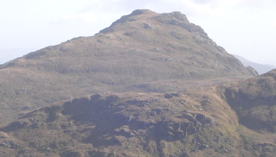
 Ben
Vane ( 3030ft, 915m )
A steep and rocky Munro the climb is sustained with several false tops. One of the "Arrochar Alps" |
 Ben
Vane ( 3030ft, 915m )
|
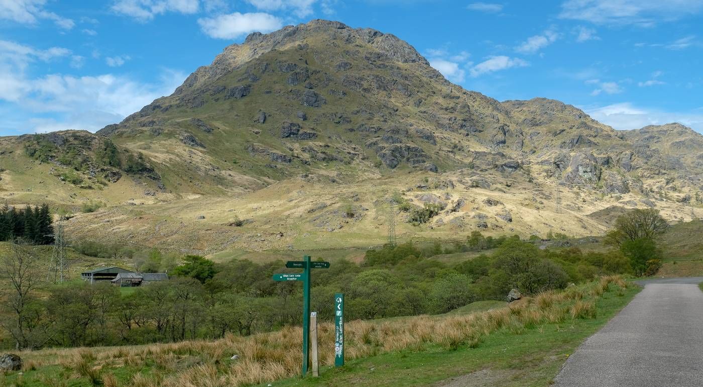
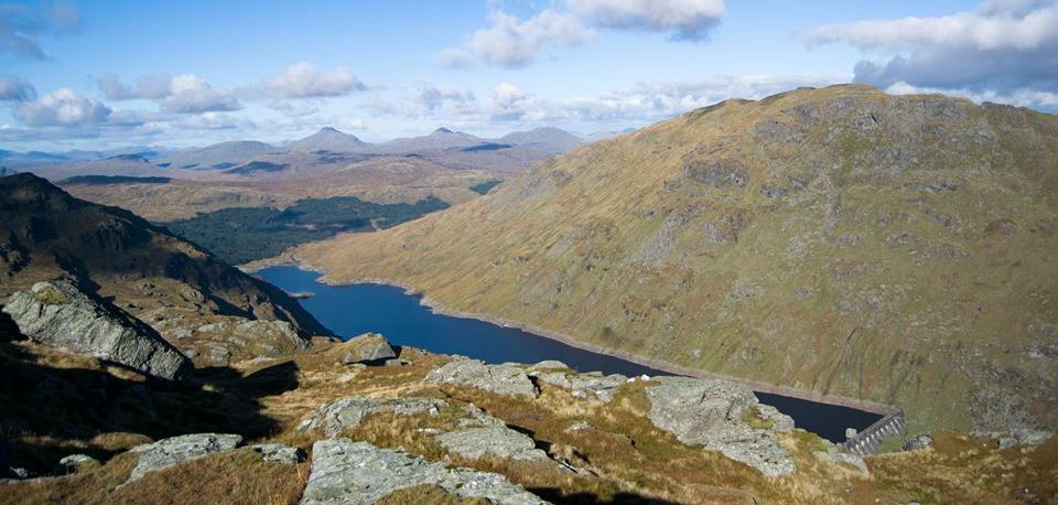
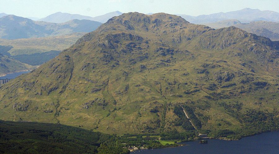
 Ben Vane
above Loch Sloy Dam |
|
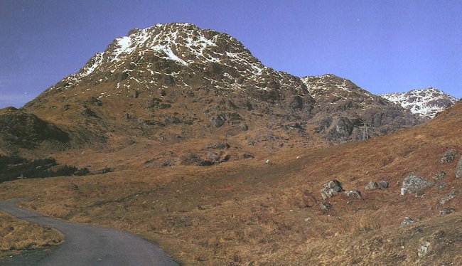
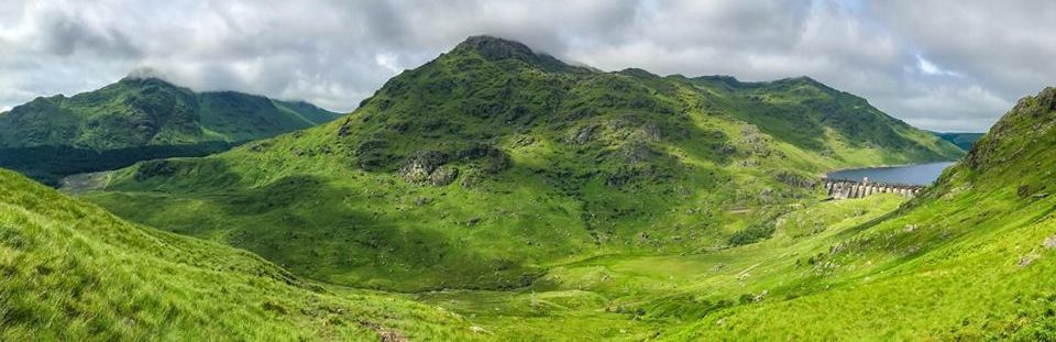 Beinn Chorranach
and Ben Vane above Loch Sloy Dam |
|
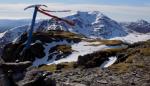
 Summit of
Ben Vane
from Binnein an Fhidhleir |
|
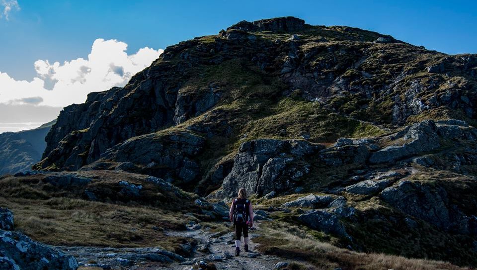 On ascent
of Ben Vane
|
|
Ben Vane from Beinn Chorranach and Katrine in background |
 |
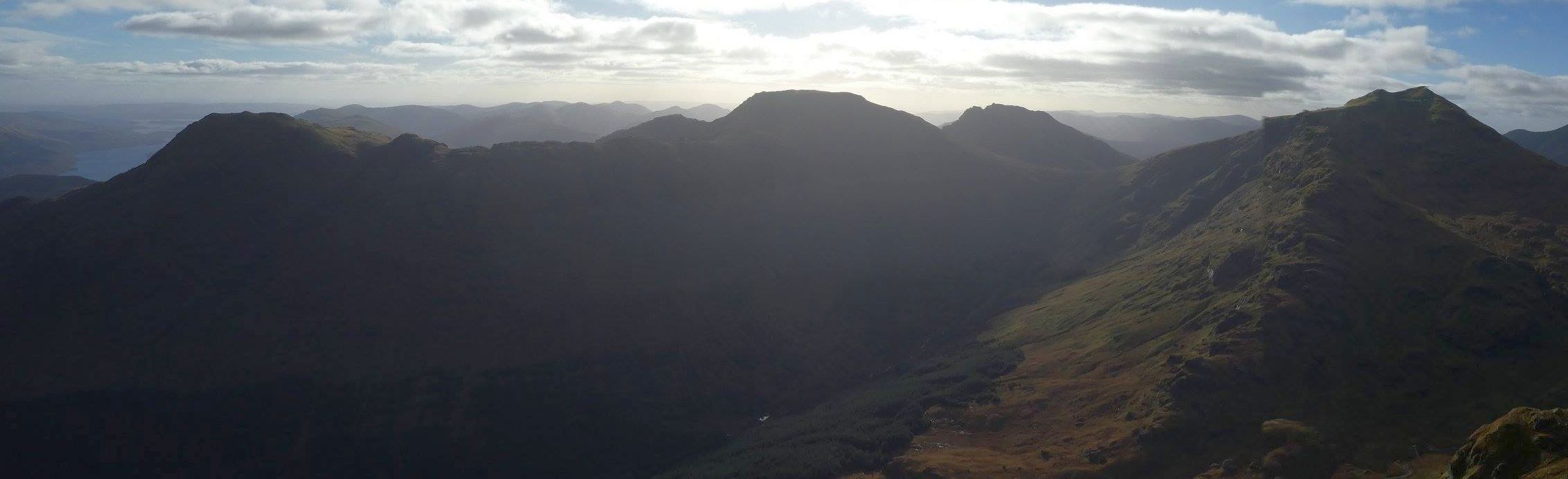
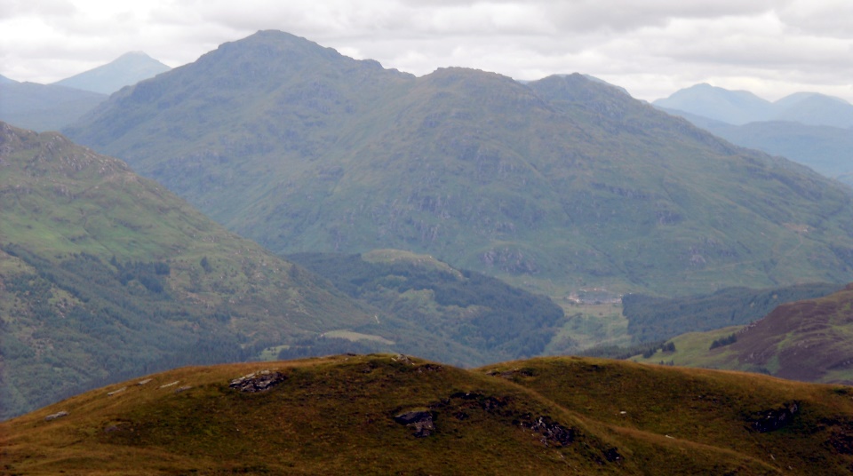
 Arrochar Alps
from Ben Ledi |
 |
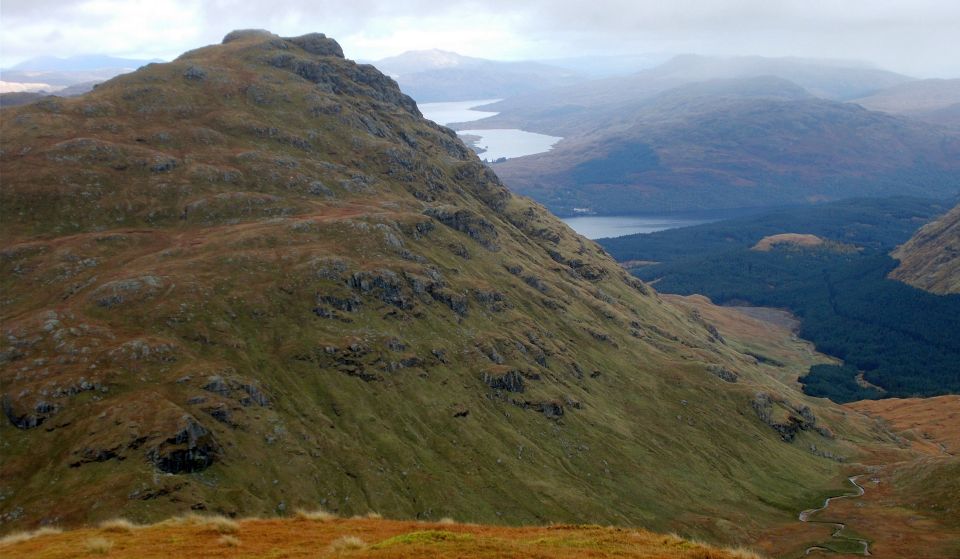
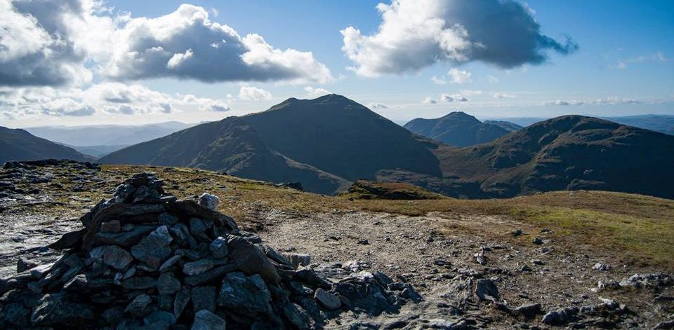
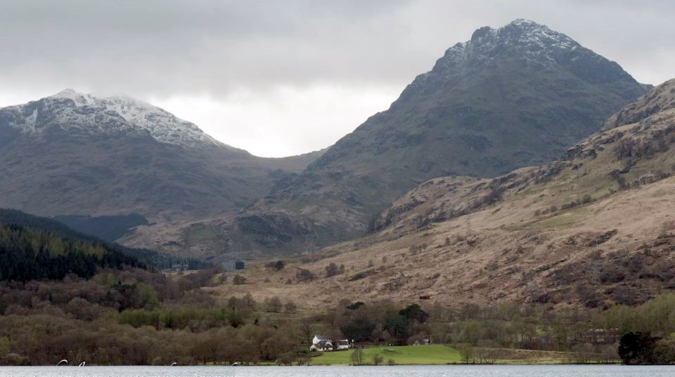
 Ben
Vane and Ben Vorlich
from Beinn Narnain |
|
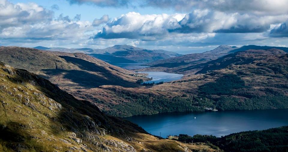
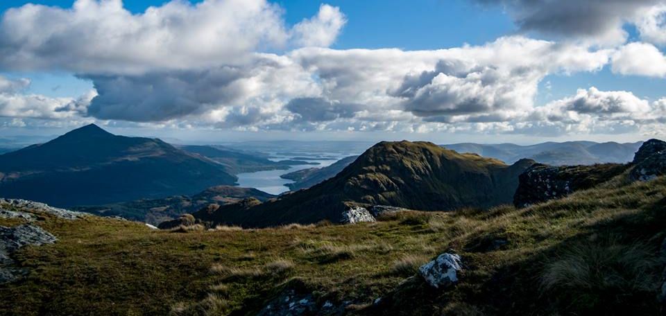
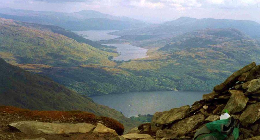 Loch
Lomond, Inversnaid, Loch Arklet
and Loch Katrine from Ben Vane |
|
Loch
Lomond, Inversnaid, Loch Arklet
and Loch Katrine from Ben Vane Ben Ledi on skyline |
|
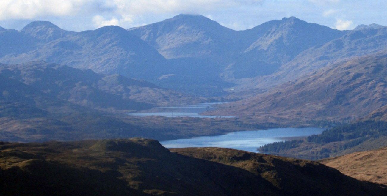
 Loch
Arklet, Loch Katrine
and Ben Ledi
from Ben Vane |
 |
 |
 |
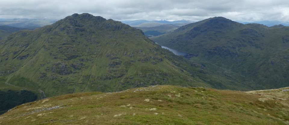
 A'Chrois, Beinn
Ime
and Ben Vane
across Loch Lomond from above Inversnaid |
 A'Chrois, Beinn
Ime
and Ben Vane
across Loch Lomond from Inversnaid |
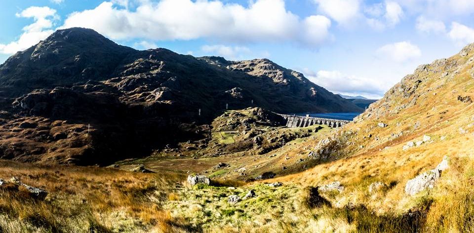
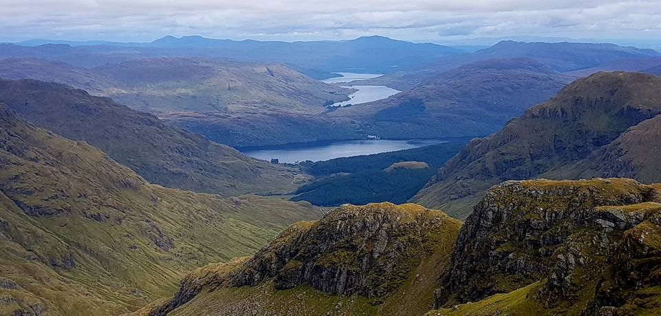
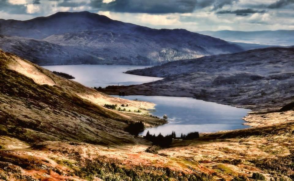
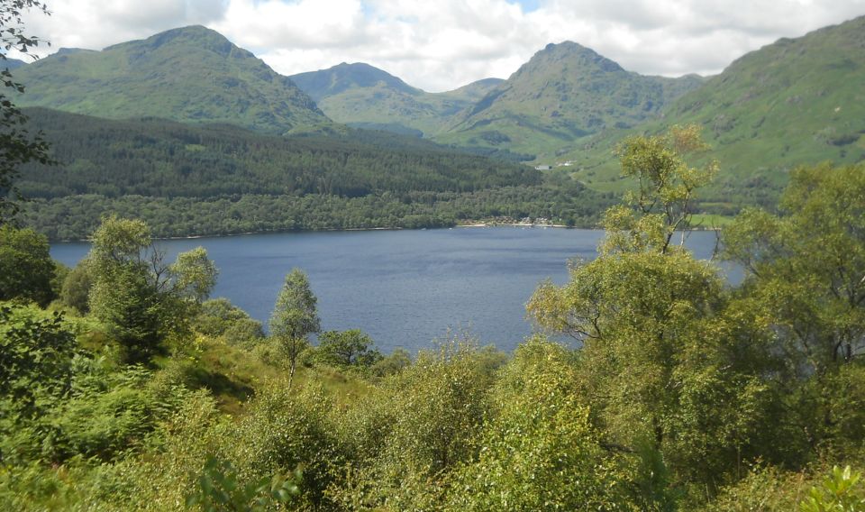
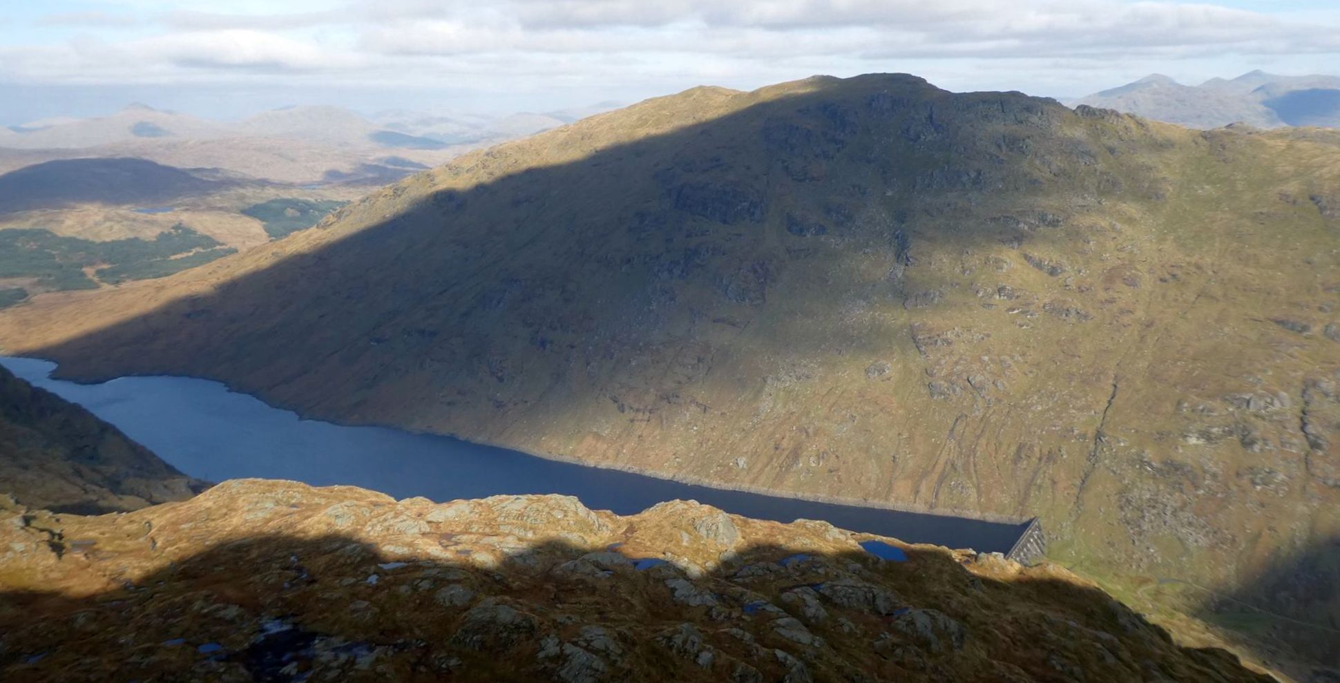
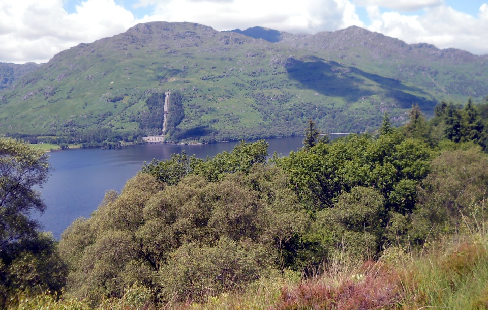
 Ben
Vorlich across Loch Sloy
from Ben Vane |
|
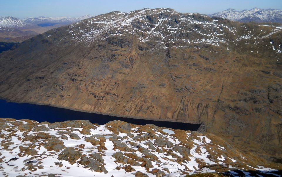
 Ben
Vorlich across Loch Sloy
from Ben Vane |
|
 Ben
Vorlich across Loch Sloy
from Ben Vane |
|
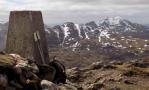
 Ben
Vorlich ( 3094ft, 943m )
from Ben Lomond |
|
 |
 Ben
Vorlich
from above Inversnaid |
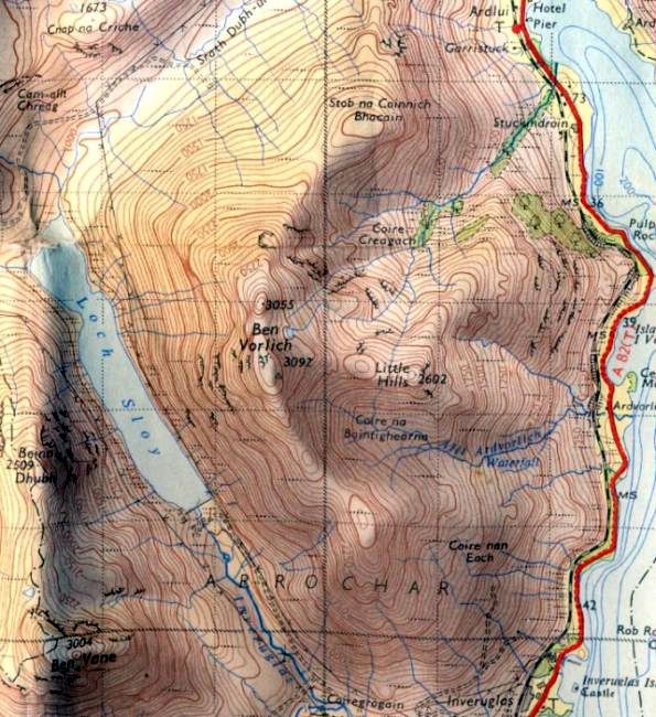 Map of Ben
Vane and Ben
Vorlich
|
|
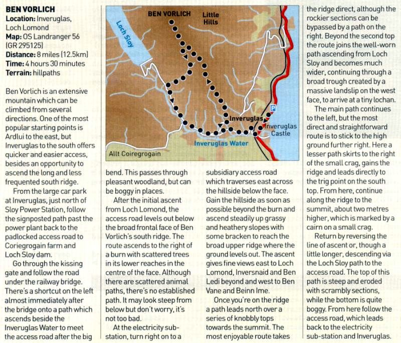 Ben
Vorlich - Route map and description
|
|
 Ben
Vorlich - Route map
|
|
BEN VORLICH - ROUTE DESCRIPTION:
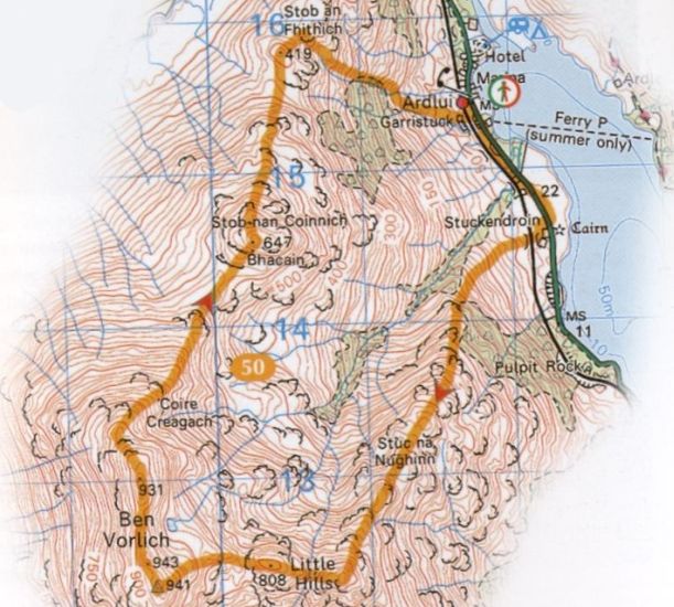 Ben
Vorlich - Route map
|
|
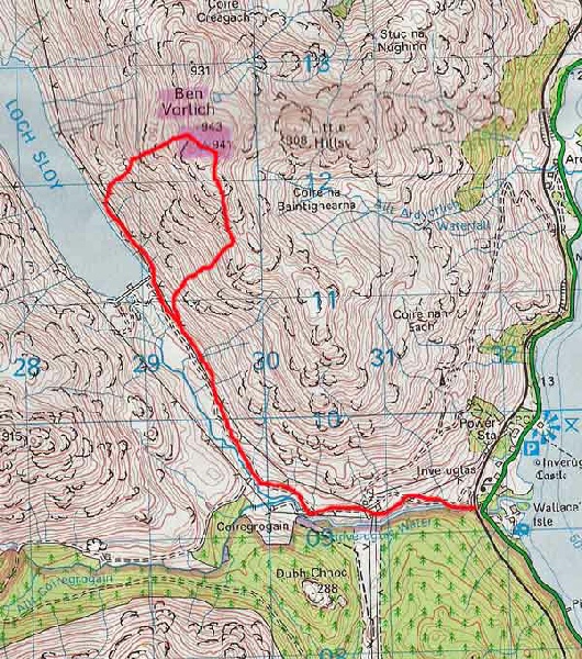 Ben
Vorlich - Route map
|
|
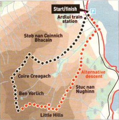
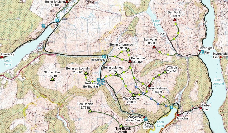 Map of the Arrochar Alps
|
|