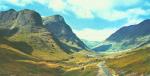
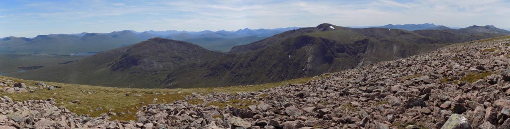
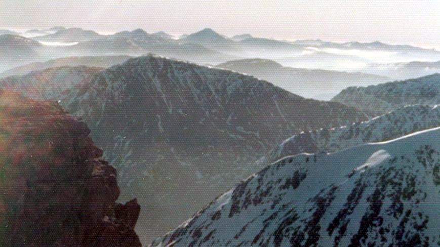
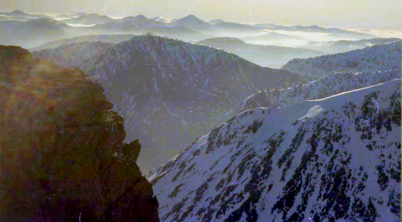
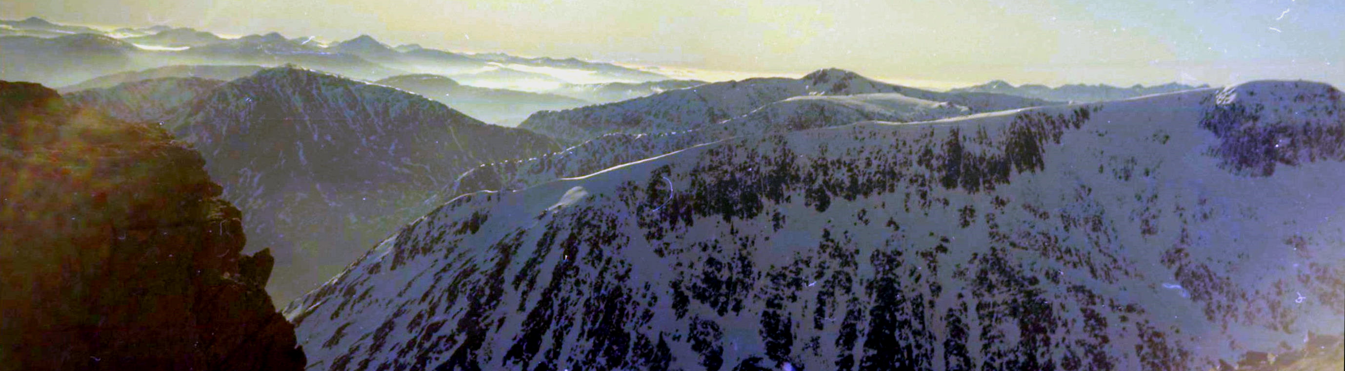
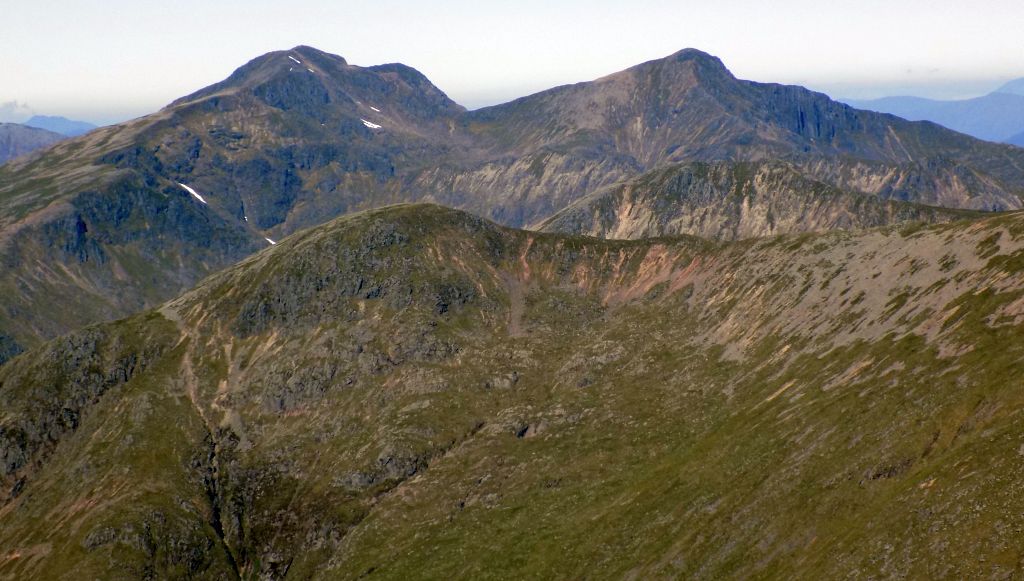
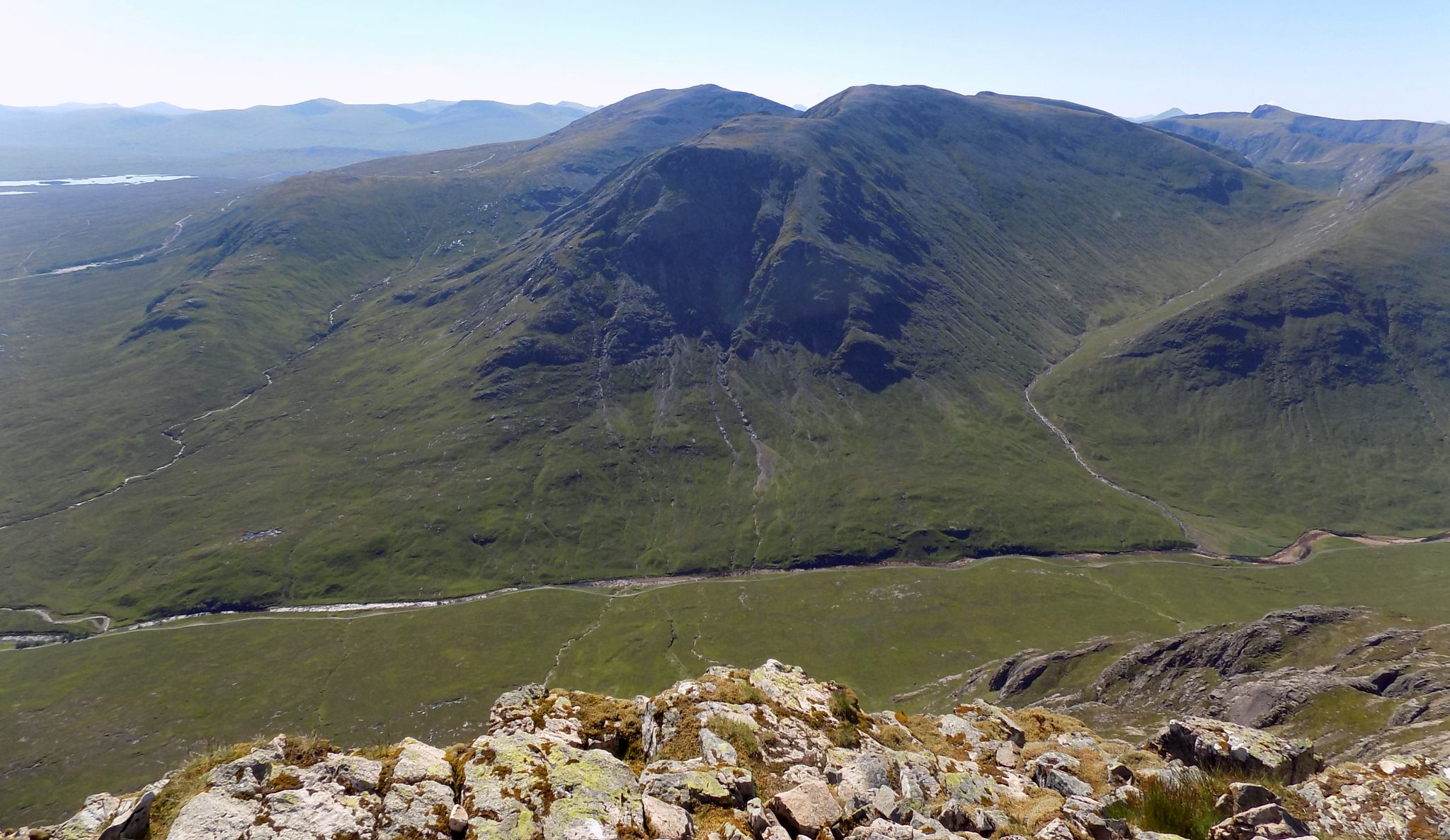
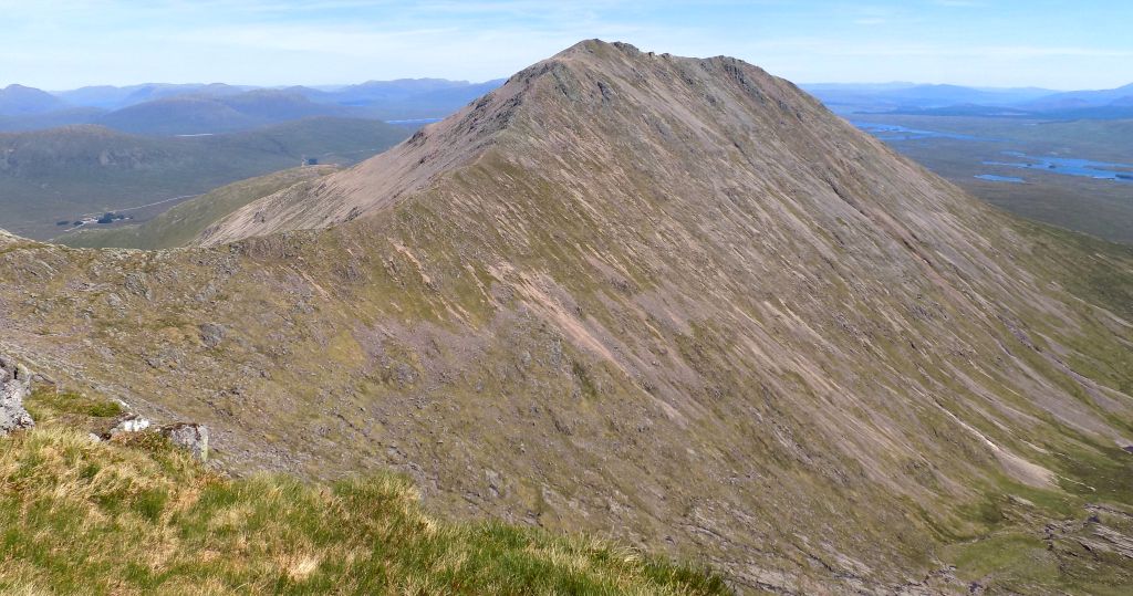
Gazing
across at Creise and Meall a‘ Bhuiridh
from the Black Corries on the
edge of Rannoch Moor, you’ll see one of the finest mountain panoramas in
Scotland, together with the deep defile of Glen
Etive and
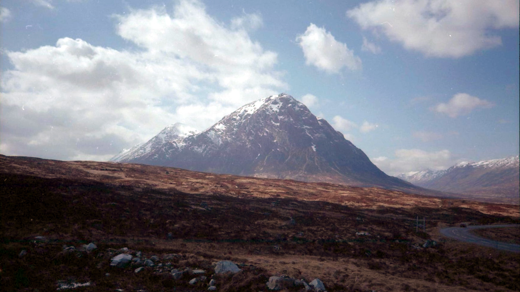
the familiar shape of Buachaille
Etive Mor. Creise itself, at
3609ft/1100m, is a steep-sided hill that offers superlative scrambling
up the steep
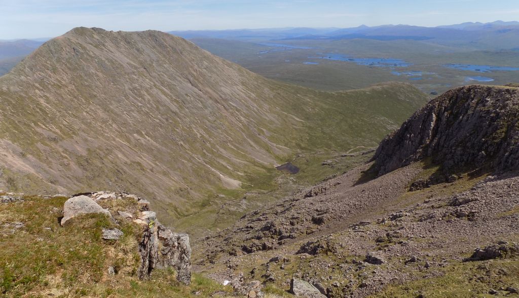
north nose of Sron na Creise. The rocky ribs that spill down eastwards
into the Cam Gleann provide an easier way to the top, although there is
good
scrambling here too.
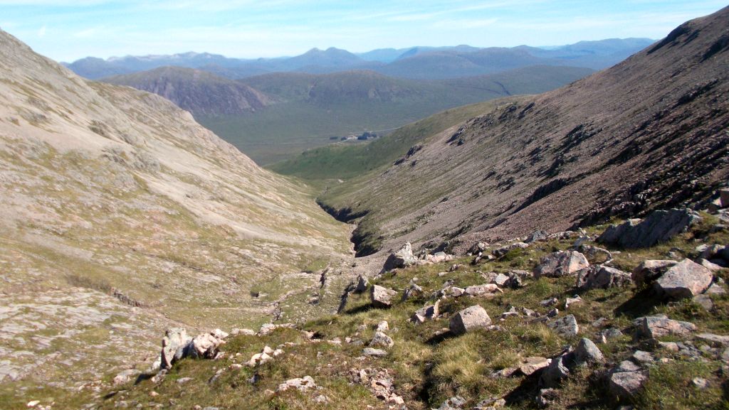
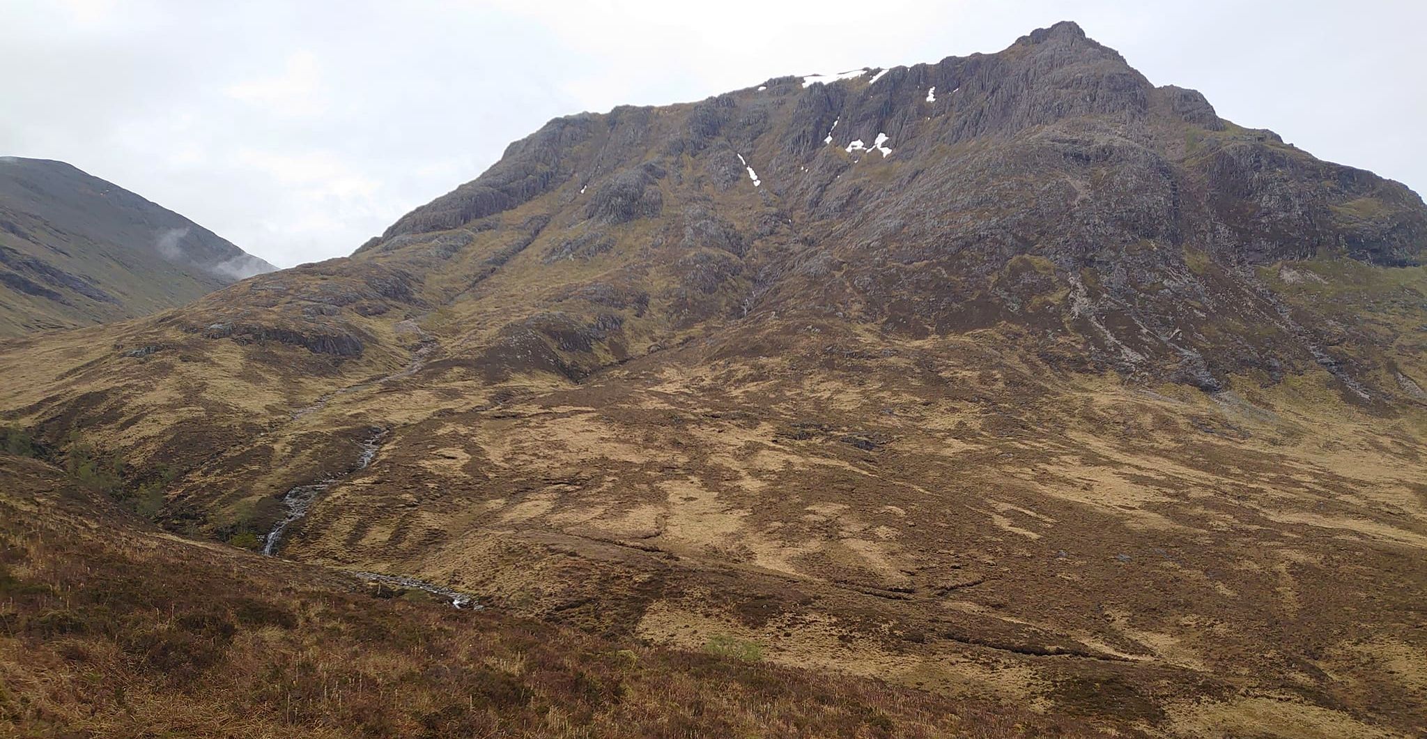
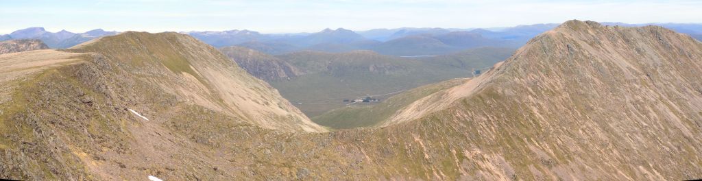
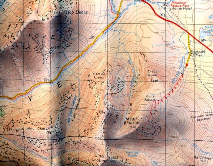
This is the route to the summit ridge starting at Blackrock Cottage,
the Scottish Ladies Climbing Club hut on the road that leads to the
White Corries ski area. Cross the boggy heather moorland around the
north slopes of Creag Dhubh to the mouth of the Cam Ghleann to reach
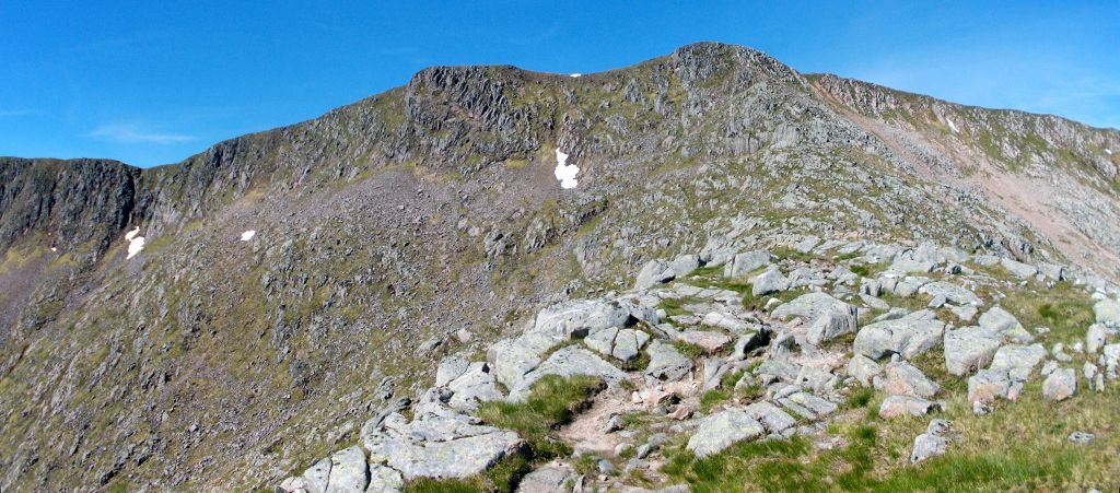
the rocky slopes of Sron na Creise. Contour west to avoid the
rocky difficulties to enjoy easy scrambling up the steep, rocky ribs
that spill down from Stob a’ Ghlais Choire, the start of a long and
scenic ridge that eventually terminates at Stob Ghabhar in the south.
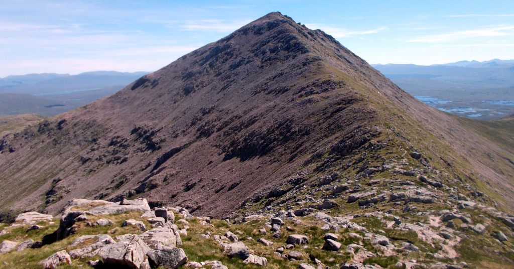
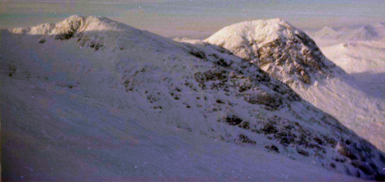
Less than a kilometre from Stob a‘ Ghlais Choire lies the summit of Creise,
beyond which the flat top of Mam Coire Easain gives way to a stony rib
which descends to a high bealach which, in turn, leads to
Meall a’ Bhuiridh. lt’s then an easy
climb to the summit of Meall a’
Bhuiridh and a straightforward descent to Blackrock
Cottage by way of the ski grounds. Route:
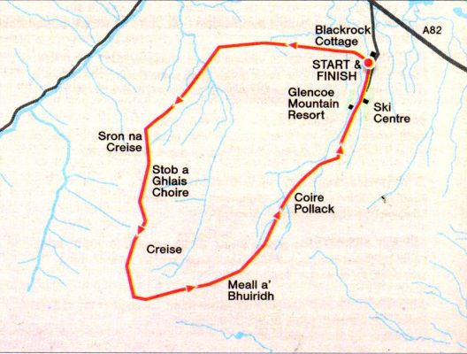
Start and finish at Blackrock
Cottage off the A82 (GR: NN268531).
Cross heather moorland to the mouth of the Cam Ghleann to gain the
rocky slopes of Sron na Creise.
Contour west to avoid rocky difficulties and ascend steep slabs to Slob
a‘ Ghlais Choire, the start of the main ridge.
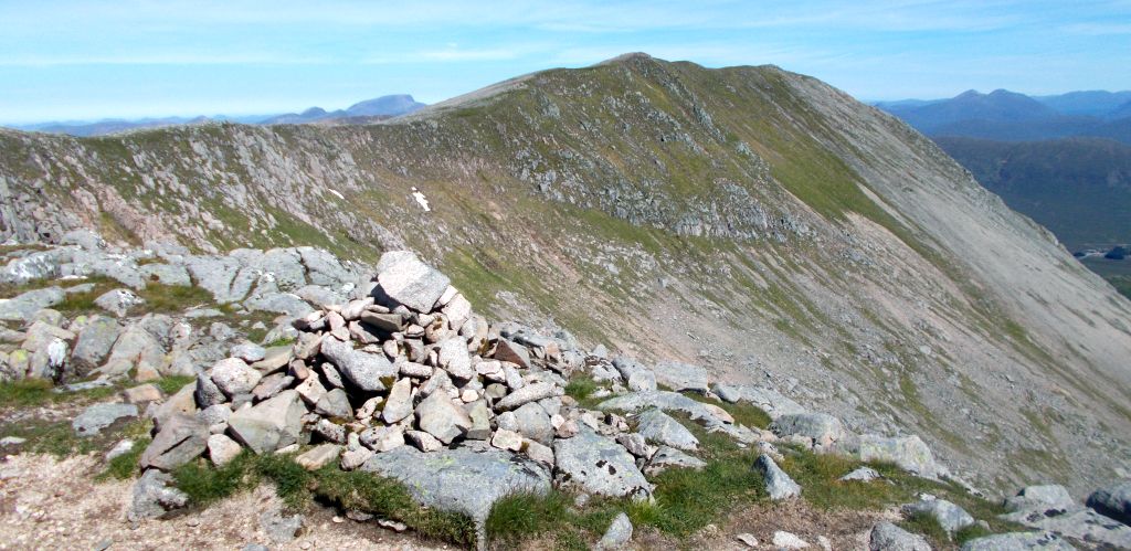
Follow the corrie rim round to a curved crest that rises to Creise.
Follow the ridge towards the flat top of Mam Coire Easain.
A stony rib offers a way of escape from the ridge towards a bealach at
the foot of Meall a‘ Bhuiridh.
Climb to the summit of Meall
a‘ Bhuiridh, then descend back to Blackrock Cottage by way of the
ski area
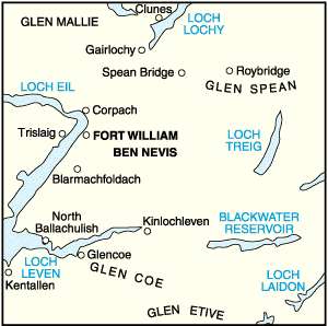
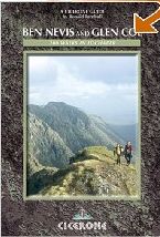
Location: Glen Coe
Map: OS Landranger 41 & 50 (GR266526)
Distance: 7.5 miles ( 12km )
Time: 6 hours
Tenain: hill paths
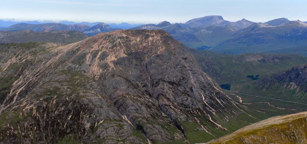
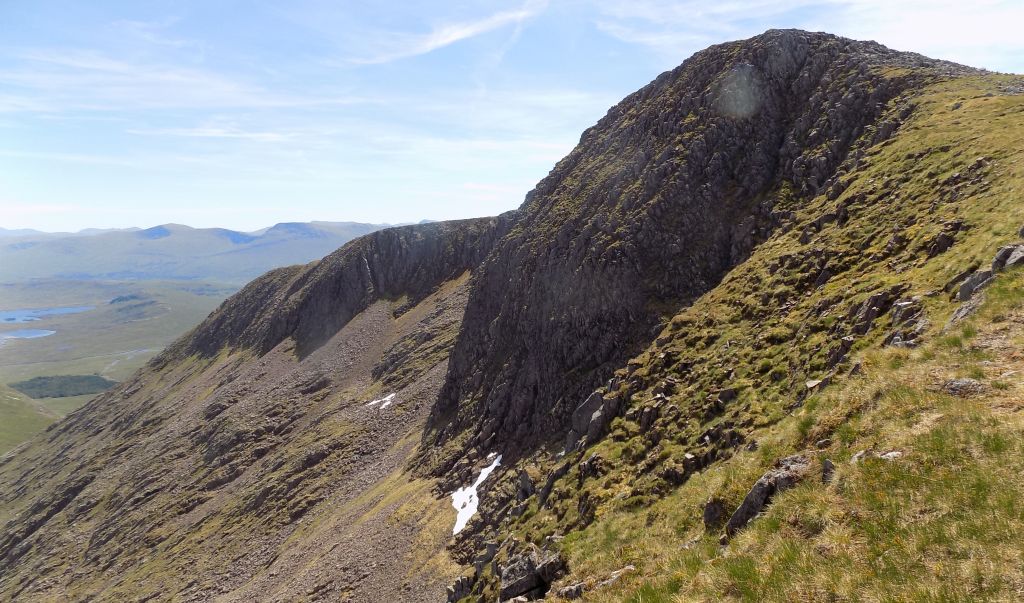
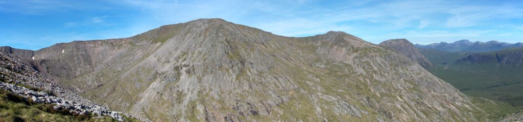
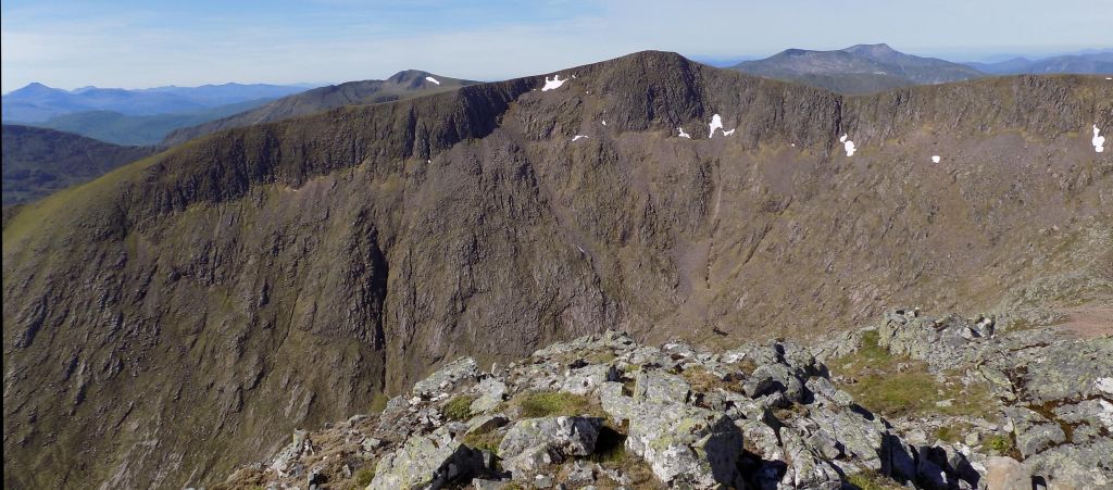
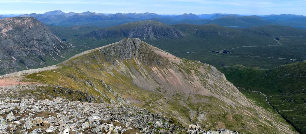
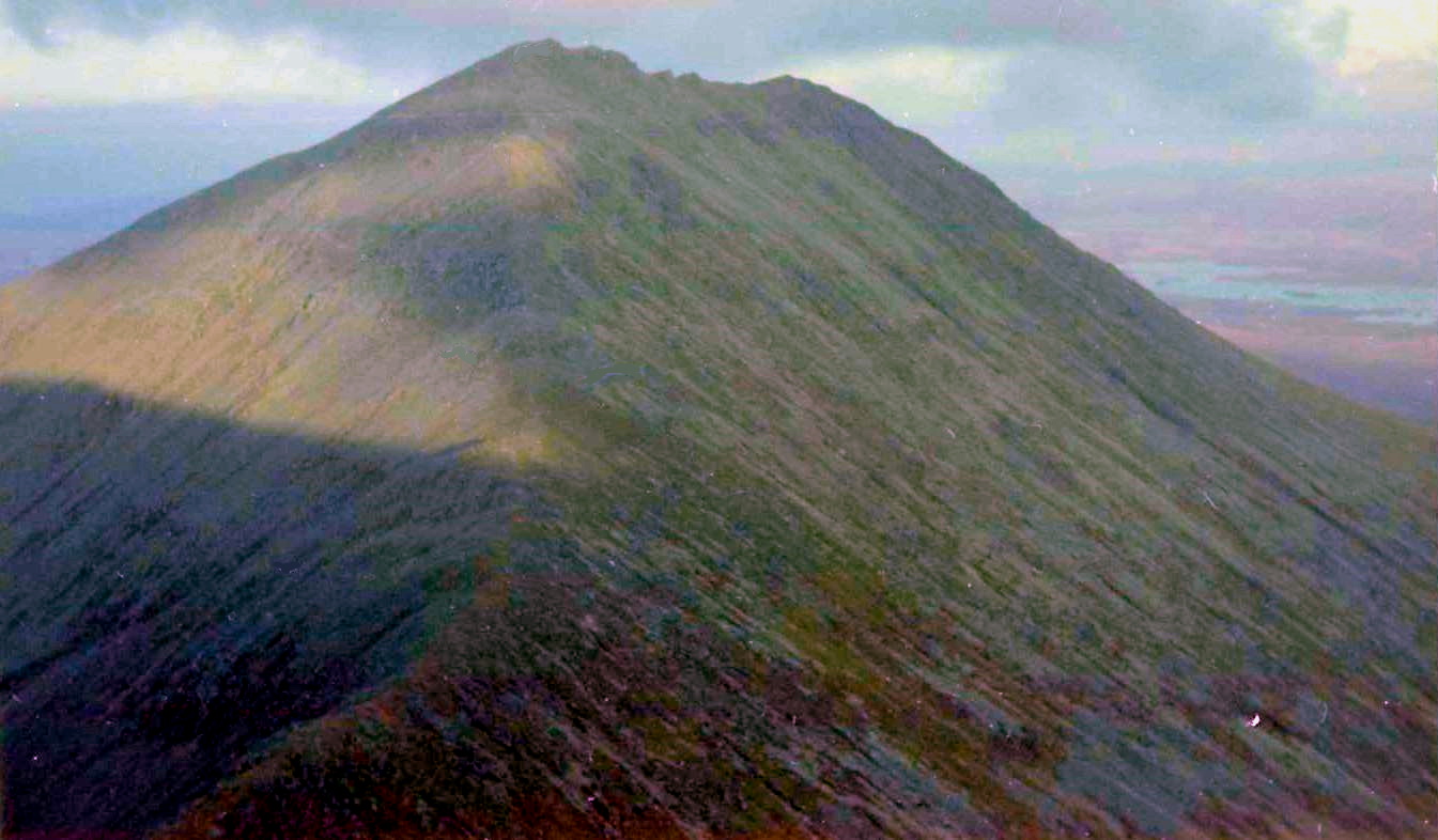
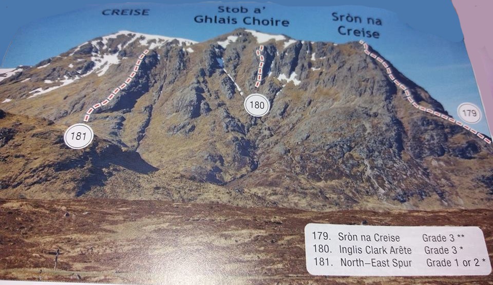
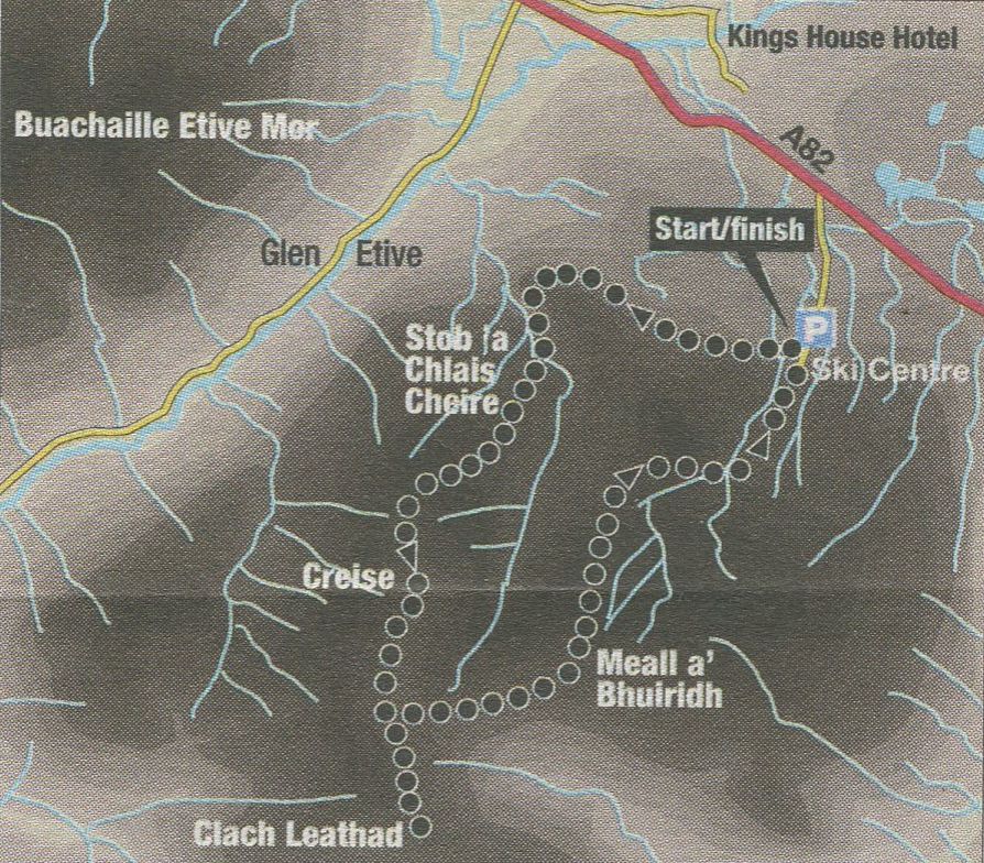
The
north-east face of Creise captures the eye as it towers above the A82
at the entrance to Glen Etive, where it sits opposite the pyramidal
mass of Bnachaille Etive Mor, one of Scotland’s iconic mountains. As
you'd
expect, the two-Munro circuit of Creise and Meall a’ Bhuiridh provides
a splendid walk amid impressive scenery.
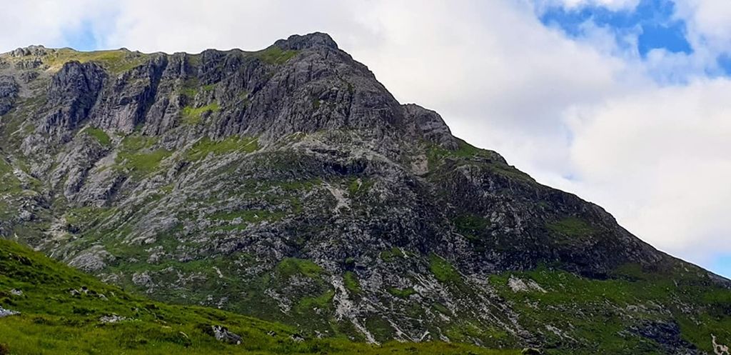
At first sight, Creise’s craggy north-east face can be a somewhat
intimidating prospect for the hillwalker, (but looks can be
deceptive and the left-hand ridge closest to the burn draining the Cam
Ghleann actually
provides a pretty straightforward route. Start from the car park of the
Glencoe Mountain Ski Centre and walk westwards across the moor
towards the impressive Buachaille Etive Mor. A rough path passes
beneath a small forestry plantation then rises up the hill a
little before contouring the hillside beneath some minor crags and
swinging up and around the shoulder of Creag Dhubh into the Cam Ghleann.
Follow the path into the glen on the left side of the burn and make for
the left-hand ridgeline.
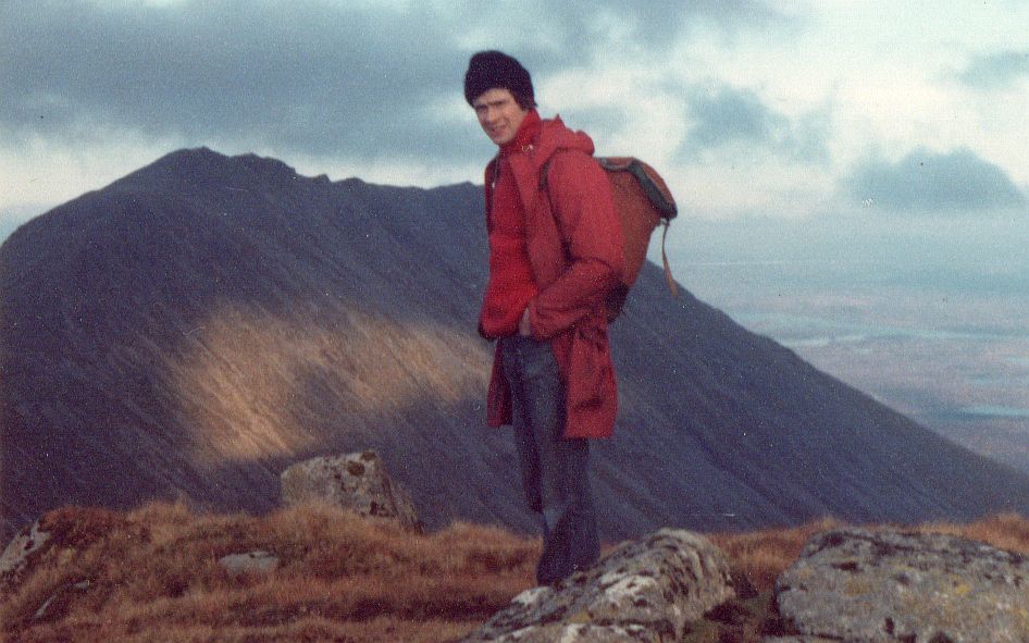
The right—hand skyline ridge is Sron na Creise, a more difficult
prospect. After crossing the burn, the path finds a straightforward way
up the ridge
on to the satellite peak of Stob a’ Ghlais Choire ( 996m / 3268ft ),
then onto Creise ( 1100m / 3609ft ), whose summit lies a kilometre
further south.
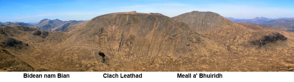
Continue south from the summit, descending gently for 800m ( 2625ft )
to a cairn on a promontory. Head south for another 800m to ascend Clach
Leathad ( 1099m / 3606ft ), whichwas at one point thought to be the
high point of this mountain. Back at the cairn, a path drops steeply
through rocky but straightforward ground to the neck that links with
Meall a’ Bhuiridh ( 1108m / 3635ft ), whose summit is gained by an
enjoyable ascent up the rocky West ridge. Descend the north shoulder of
the mountain keeping well left of the ski-tows, beneath which there is
steep and unpleasant ground. Towards the flat ground at the middle
station, cut across and descend a steep path beneath the chairlift to
the car park.


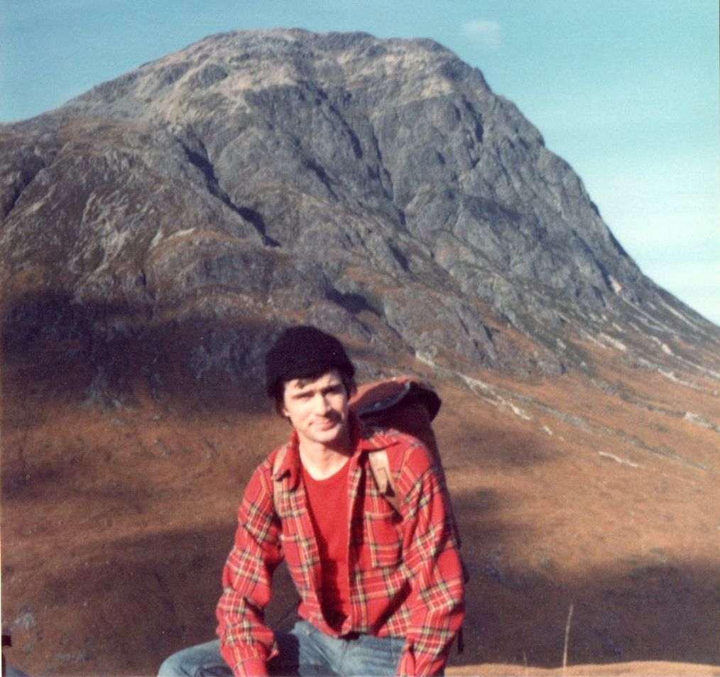
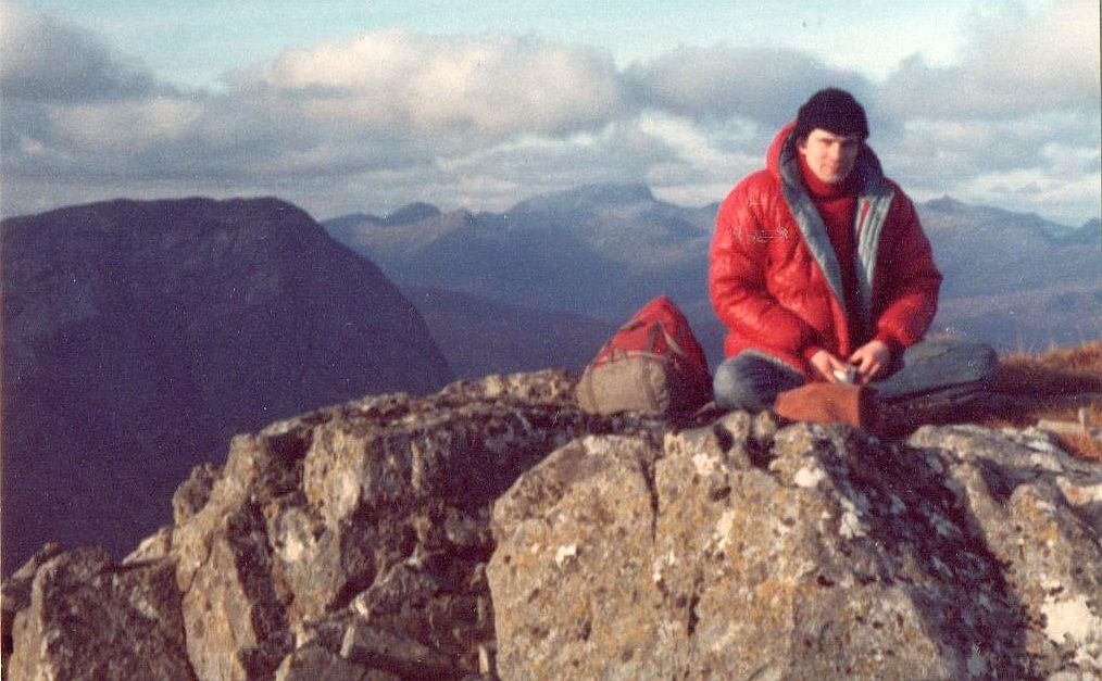
 :: Glencoe
Photo
Gallery
:: Glencoe
Photo
Gallery