|
Isle of CumbraeIsland Views
Ferry |
  |
| |
Isle of CumbraeIsland Views
Ferry |
|
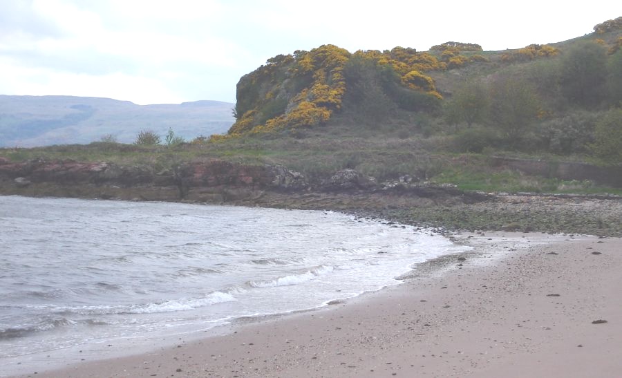
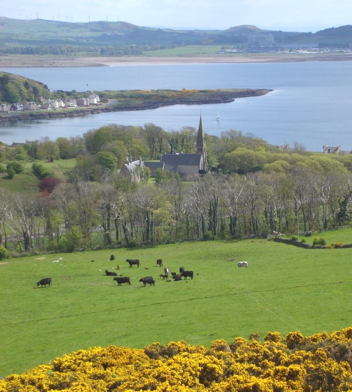
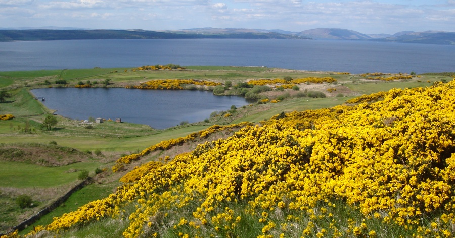
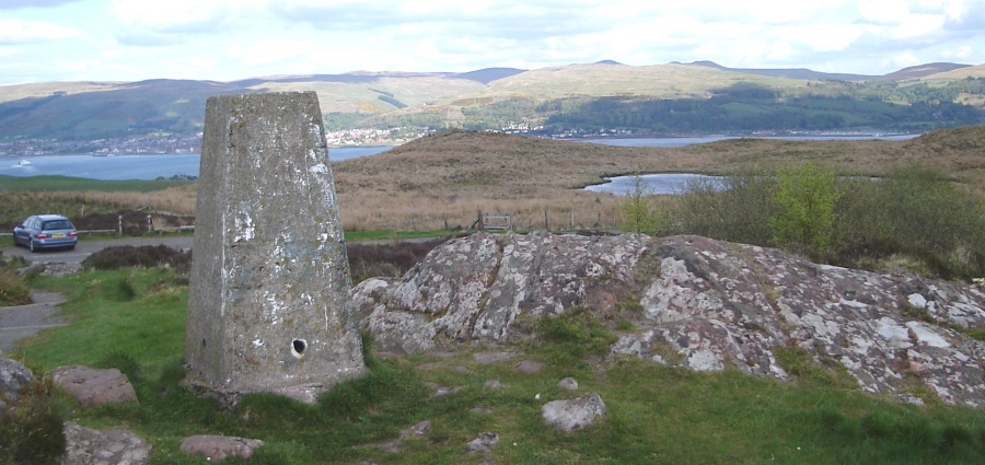
Photos of views on a walk around the Isle of Great Cumbrae
in the Firth of Clyde
 Largs
and Ayrshire coastline
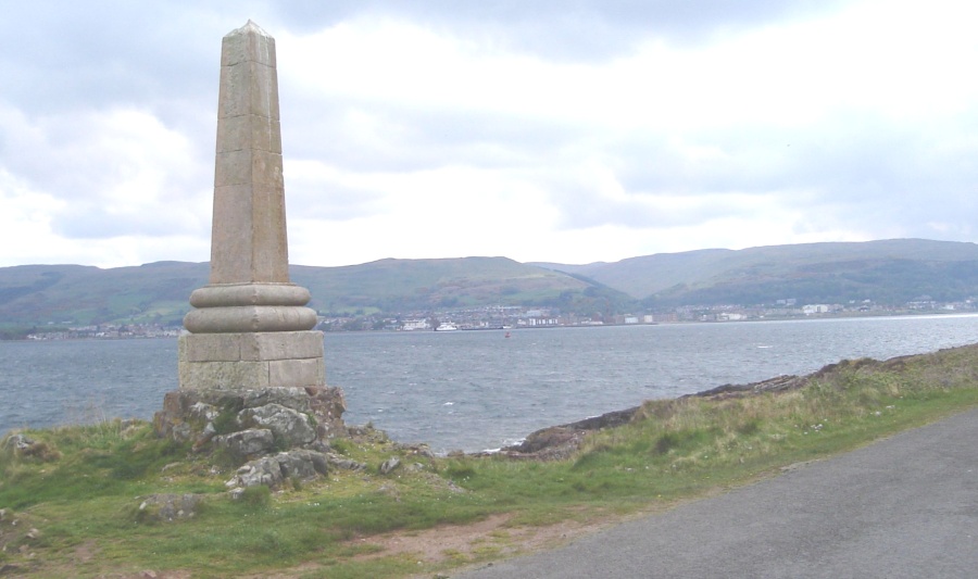
from Monument at Tormont End on Isle of Cumbrae in the Firth of Clyde |
|
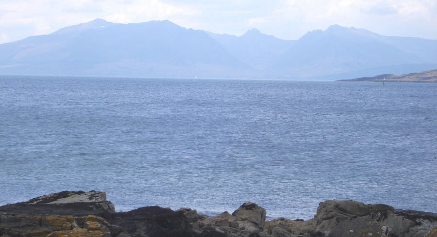 Hills
of Arran
- the " Sleeping Warrior " from Isle of Cumbrae |
|
 Hills
of Arran
- the " Sleeping Warrior " from Isle of Cumbrae |
|
 |
|
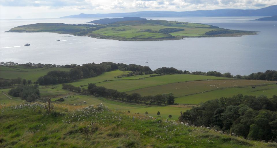 Isle
of Great Cumbrae
from Knock Hill above Largs |
|
GREAT CUMBRAE WALK - ROUTE DESCRIPTION:
The island of Great Cumbrae may measure only 3.5 miles ( it was given the name to distinguish it from its even smaller neighbour Little Cumbrae ) but what
makes it great are the views. Much of the walk is on narrow roads. but they are quiet and you will probably see more cyclists than cars.
Cycling round the 10 mile / 16km coast road is popular with visitors.
My aim though was to go up so I took the old ferry road which used to be the route from the island's only town, Millport, to the ferry slipway.
I then branched off to take another wee road up to the high point on the island.
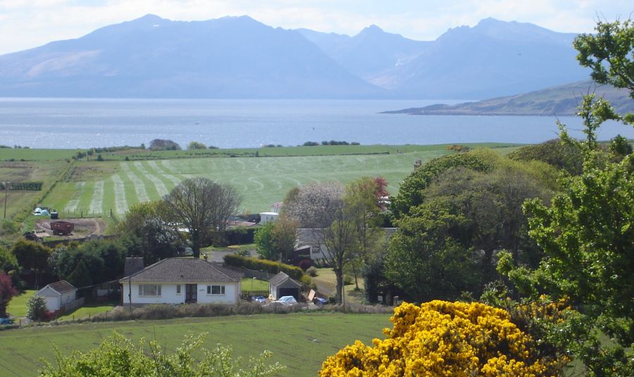
It is a modest 417ft ( 127m ) but the view is magnificent, looking west to Bute with the hills of Arren beyond it, north to Cowal, east to the Ayrshire
coast and south to Little Cumbrae.
The summit is marked by a view indicator and a large boulder called the Glaid Stone.
The road wanders down to Millport and a diversion to the Cathedral of the Isles. This church dating from 1851 is said to be the smallest cathedral in Britain.
You can end the walk here, or add another loop signed Targets Walk which climbs out of Millport and takes tracks and paths to the west coast.
The paths were pretty overgrown when I visited but you can get through and the effort is rewarded by stunning views.
As you walk back towards Mlllport after a tall navigation post you may see a sign for a further section of off-road path round the coast. Again this
was seriously overgrown, so I stuck to the road.
GREAT CUMBRAE - CYCLE RIDE - ROUTE DESCRIPTION:
Location: North Ayrshire
Map: OS Landranger 63
Distance: 10 miles / 1 6km
Time: 1.5 hours
Terrain: flat; quiet roads
The island of Cumbrae feels like it was created with easy cycle rides in mind.
A mere 10-minute ferry journey from Largs, the coastal road is perfectly flat and refreshingly quiet.
Cal-Mac runs a regular service to a slip on the north-eastern side of the island and, in common with all the operator’s routes, bicycles go free.
On arrival, Cumbrae’s charm and tranquility is immediately evident, and you can see why the missionaries St Maura and St Beya chose to live
here in the seventh century, spawning the name by which the island and its smaller counterpart to the south were given long ago — the
Isles of the Virgins.
Turn right at the slip for an anti-clockwise name by which the circuit. The road soon reaches the northern tip counterpart to the south of Tomont End where
the King Haco of Norway on the eve of the 1263 Battle of Largs.
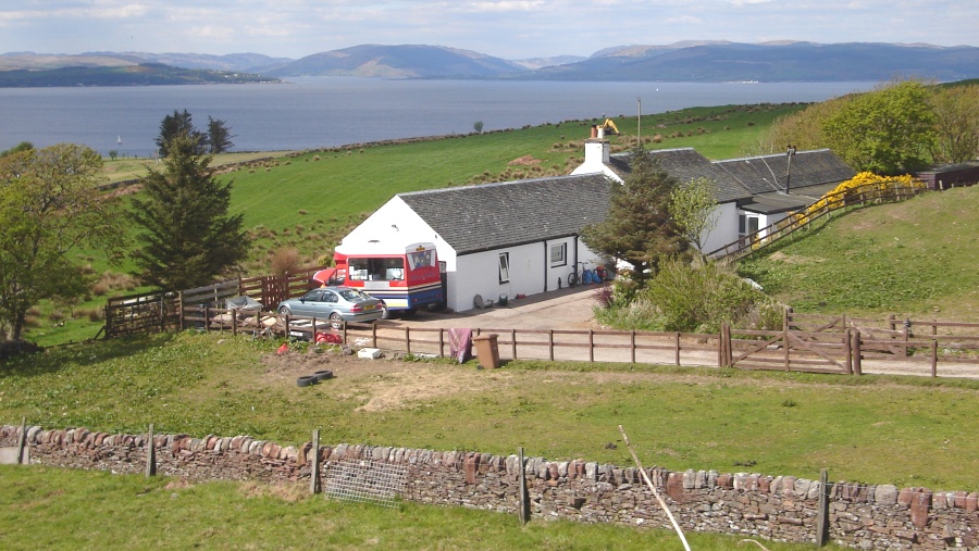
As you continue there are views to the Cowal Peninsula and Bute to the north and west respectively.
It’s this position of relative shelter which has led some scholars to believe Cumbrae may be derived from an old Gaelic word for refuge, cumbray.
Certainly, when the winds are light, it feels protected.
Pedal on, down the scenic and rocky west coast where you may see seals.
Halfway along, at Fintry Bay, there’s a tearoom.
Further south there are stirring views of craggy Little Cumbrae and Arran’s mountains before the road leads to Millport and the eastern
jaunt back.

Glencoe | Ben Nevis | Knoydart | Isle of Skye | Isle of Arran | The West Highland Way
The Eastern Highlands | The Central Highlands | The Southern Highlands | The NW Highlands