  |
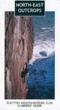
The Scottish HighlandsKinnoull Hill
|
  |
| |
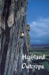
The Scottish HighlandsKinnoull Hill
|
|
Photographs of Kinnoull Hill above Perth and the River Tay
 |
|
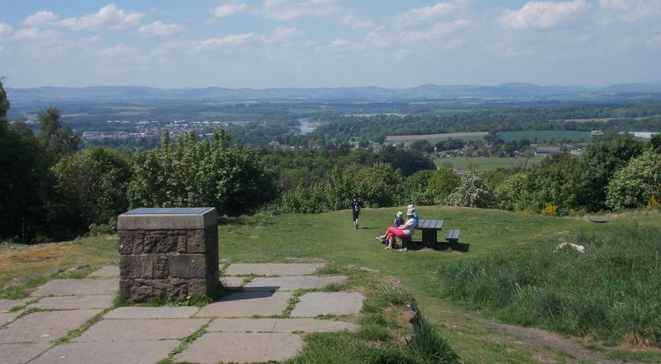
On ascent of Kinnoull Hill |
 |
|
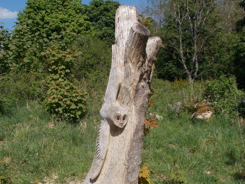
Owl wood carving |
 |
|
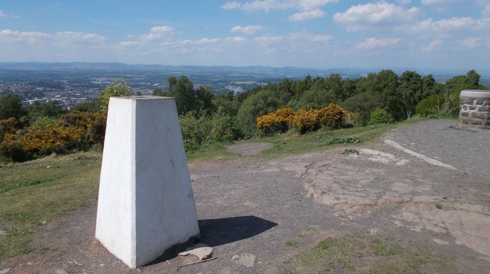
Trig Point on Kinnoull Hill |
 |
|
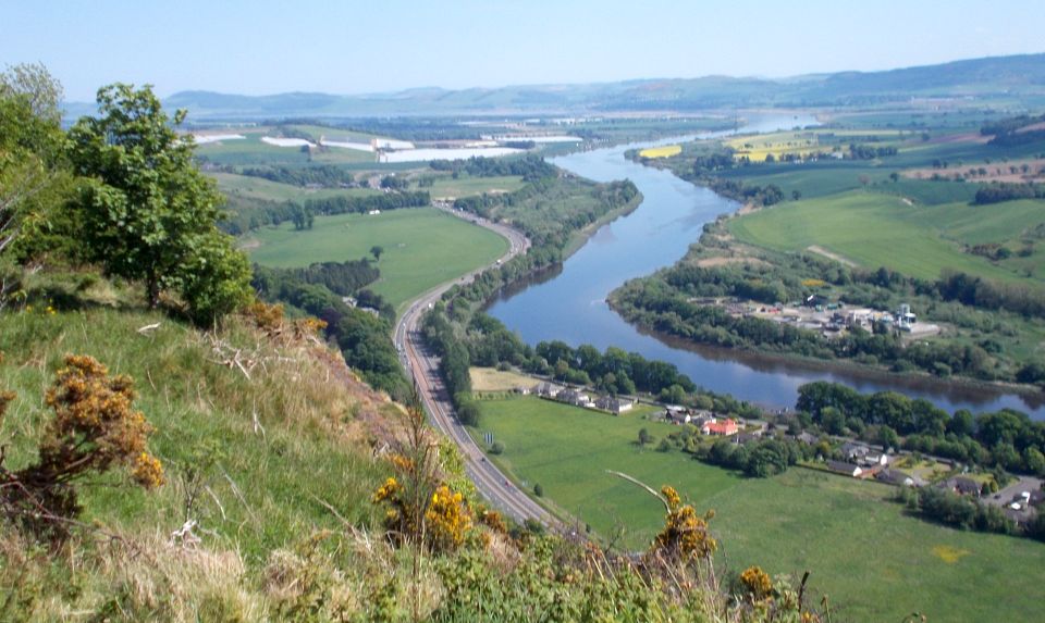
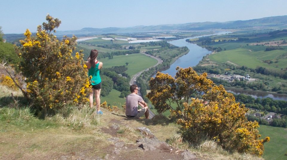
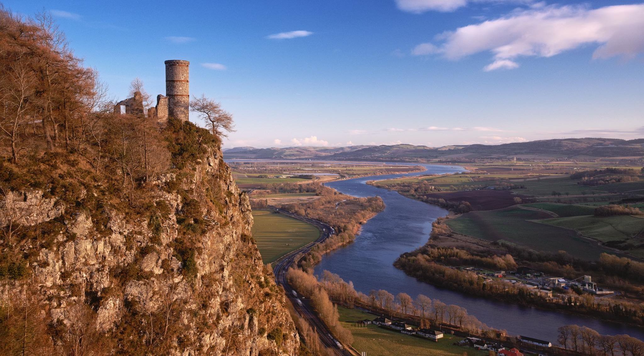
River Tay from Kinnoull Hill |
 |
|
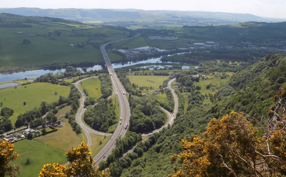
Road network with Friarton Bridge over the River Tay from Kinnoull Hill |
 |
|
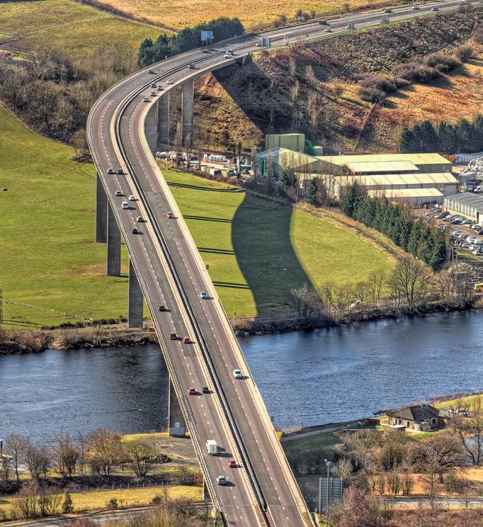
Friarton Bridge over the River Tay from Kinnoull Hill |
 |
|
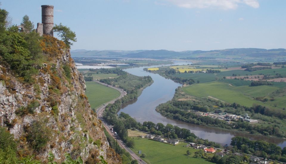
River Tay from Kinnoull Hill |
 |
|
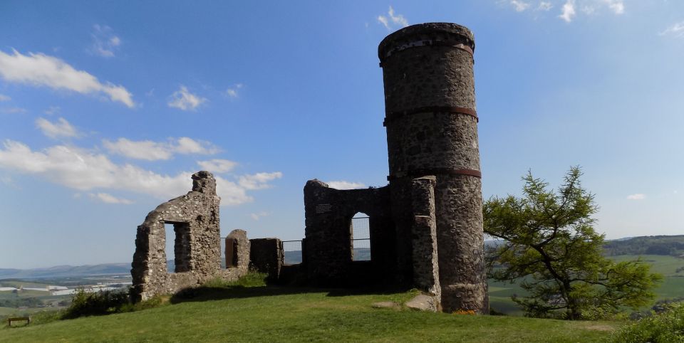
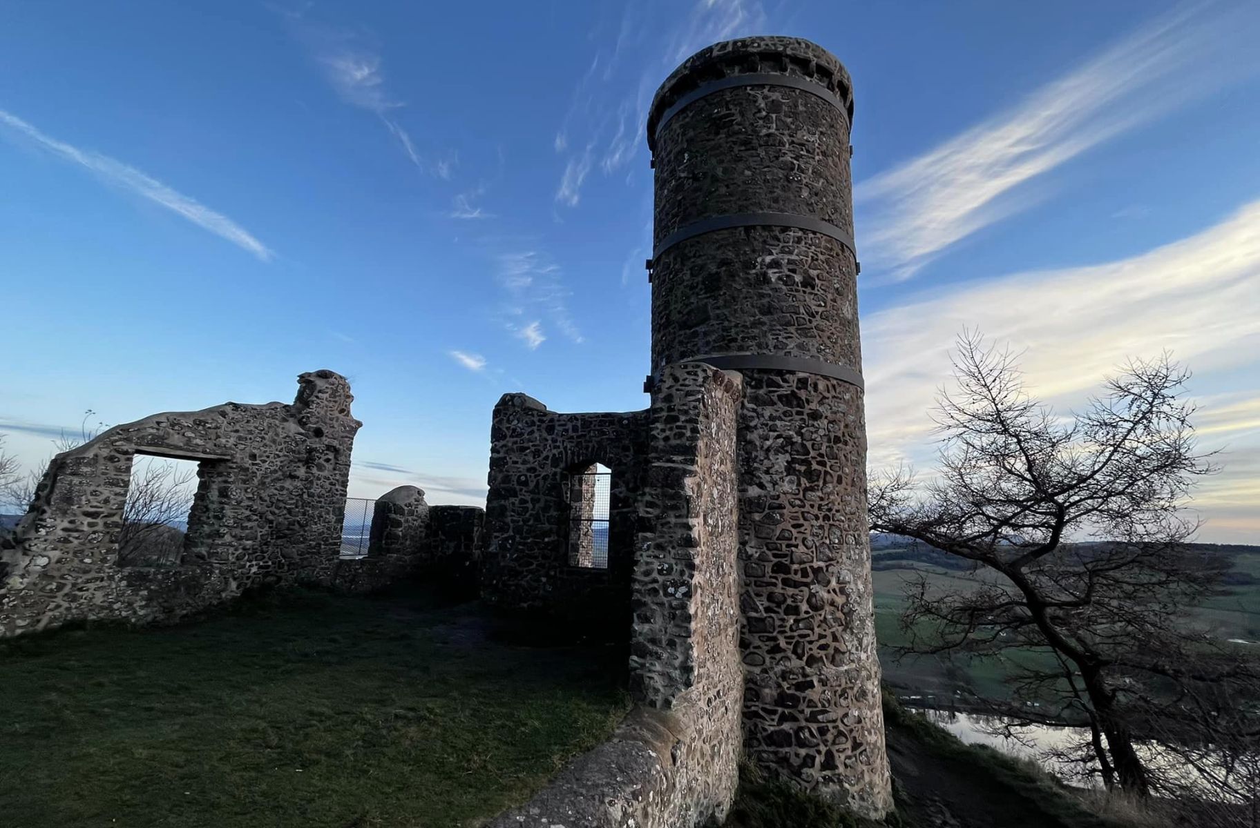
The Tower on Kinnoull Hill
|
 |
|
The Tower on
Kinnoull Hill
|
 |
|
The Tower on
Kinnoull Hill
|
 |
|
The Tower on
Kinnoull Hill
|
 |
|
The
Tower on
Kinnoull Hill
|
 |
|
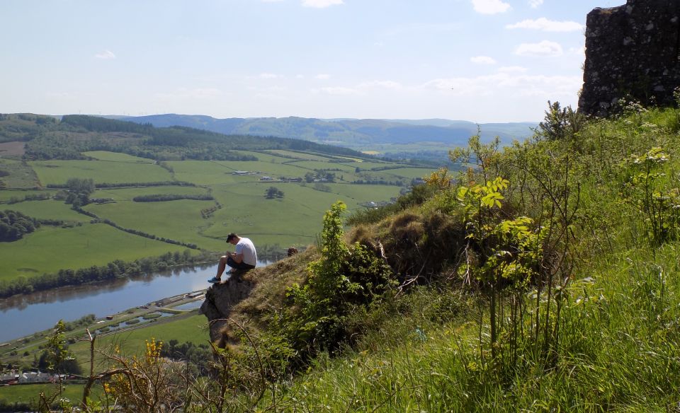
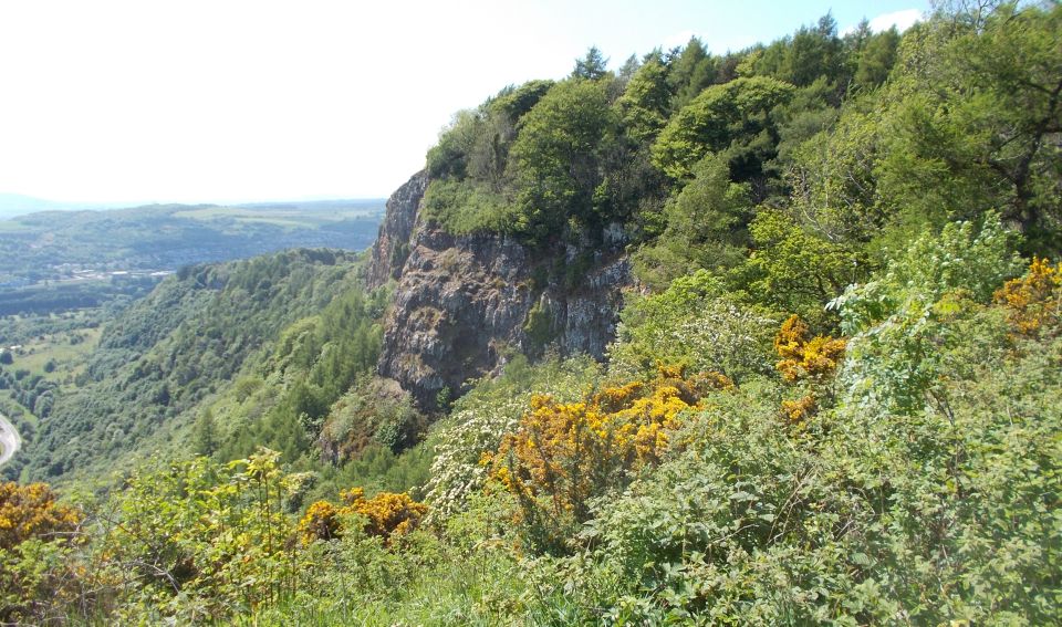
Cliffs on Kinnoull Hill |
 |
|
Signpost on Kinnoull Hill |
 |
|
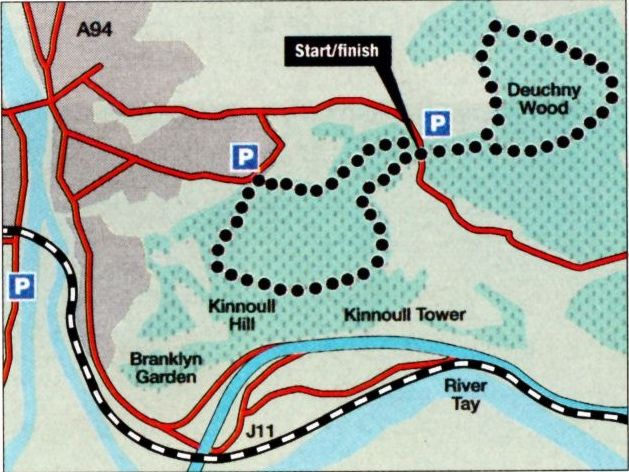
Route Map for Kinnoull Hill |
KINNOULL HILL - ROUTE DESCRIPTION:
Location: Perthshire
Map: OS Landranger 53, or free Kinnoull Hill path leaflet available locally
Distance: 5 miles ( 8km )
Time: 2-3 hours
Terrain: Moderate walk
Kinnoull Hill Woodland Park, above Perth, mainly consists of a large area of mixed woodland with an extensive path network.
This walk combines two areas to give a satisfying figure-of-eight outing.
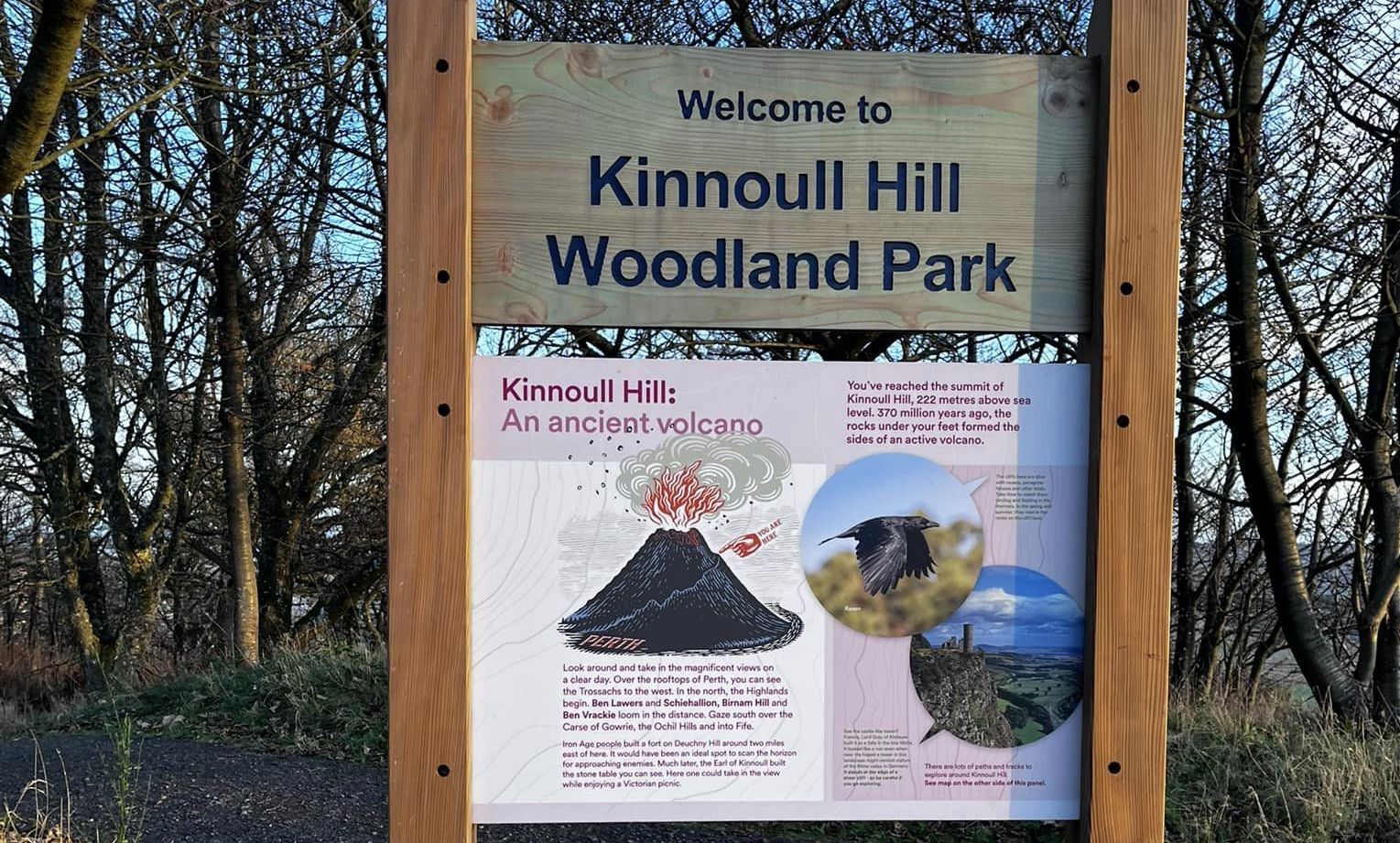
Much of the park area was formerly owned by the Earls of Kinnoull and it was the 9th Earl who erected the Stone Table at the top of the steep cliffs.
It commands a wonderful view down the Tay and across to the Fife Lomonds. The vertical face below is part of a fault, and the volcanic rock supports a wide
range of plants. A short path leads to the trig pillar and view indicator.
Although you are only at 222m ( 728ft ) the view is wide, taking in a hill panorama.
The indicator was erected in 1948 to mark the 25th anniversary of the gift of this land to the people of Perth by Lord Dewar.
A short walk along the top of the cliffs ( please take care ) leads to Kinnoull Tower, a folly built for the 9th Earl in imitation of castles he had seen in Germany.
Later in the walk you join the Coronation Road, an ancient highway said to have been used by Scottish kings and nobles travelling from Falkland Palace in
Fife to Scone Palace.
On the way back from the Jubilee car park you use one of the all-abilities paths, which give as many people as possible, including those in wheelchairs,
the chance to sample the park's attractions. Just below the old quarry is another view indicator on Corsiehill.
When you are ready to leave, take the path to the left of the indicator to the end of the walk.
Route:
Walk back to the road bend, from the car park, and lake the path ahead.
Keep left at a fork after 100m, climbing steadily, and keep right at the next fork, following red markers.
Keep right at another fork and continue on a narrower path that runs along a small shelf to a field edge.
At the right turn for Barnhill, keep straight ahead.
Join another path and climb quite steeply for a time.
Turn right as signed and follow the path up to reach the Stone Table.
Follow the edge of the cliffs around a gully and up to Kinnoull Tower.
From the Tower, follow the surfaced path.
At a fork, go right, and continue on the wide track above the valley of the Deuchny Burn.
Turn right along the edge of the wood to cross the Jubilee car park, and turn right at the field edge ( Jubilee Walk ).
Reach a gate and turn left into conifer forest.
The path curves right, then you turn left ( at point 5 ).
The path again curves right.
Go through two gates, cross the field and walk along the far edge below the trees.
Cross the Langley Burn, after which the path improves and climbs to re-enter the forest.
Keep on the main track and in about 450m, turn right as signed onto a sharp rise over Deuchny Hill.
At the top of the rise, join a broad track.
Retrace your steps across the Jubilee car park and fork right (red arrows) by a gate past Forest Lodge.
Follow the broad path, which curves left.
About 100m after a track comes in from the left, turn right ( red and yellow arrows ).
At the T-junction, turn right and follow the quarry fence down to the view indicator on Corsiehill and on down to the car park.
KINNOULL HILL - ROUTE DESCRIPTION 2:
Location: Perth
Grade: Easy hill climb
Distance: 4 miles/7km
Time: 2 hours
 |
|
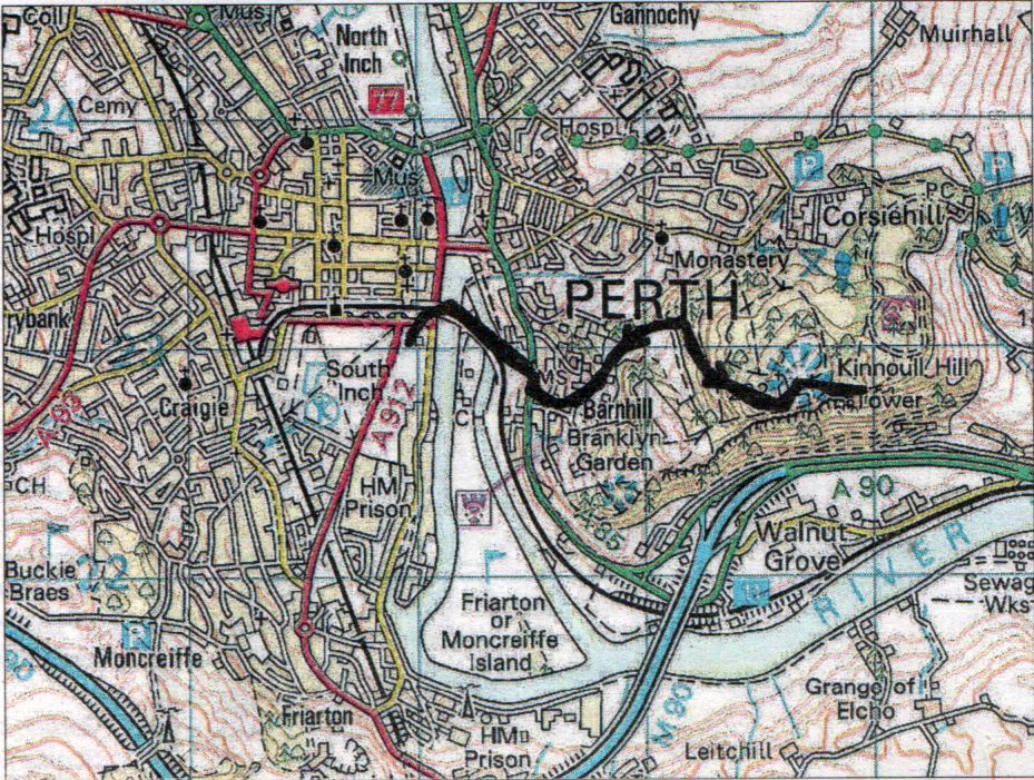
Map for Kinnoull Hill |
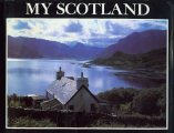
Scottish Peaks : Scotland Index