  |
Bearsden & DistrictKirkintilloch |
  |
| |
Bearsden & DistrictKirkintilloch |
|
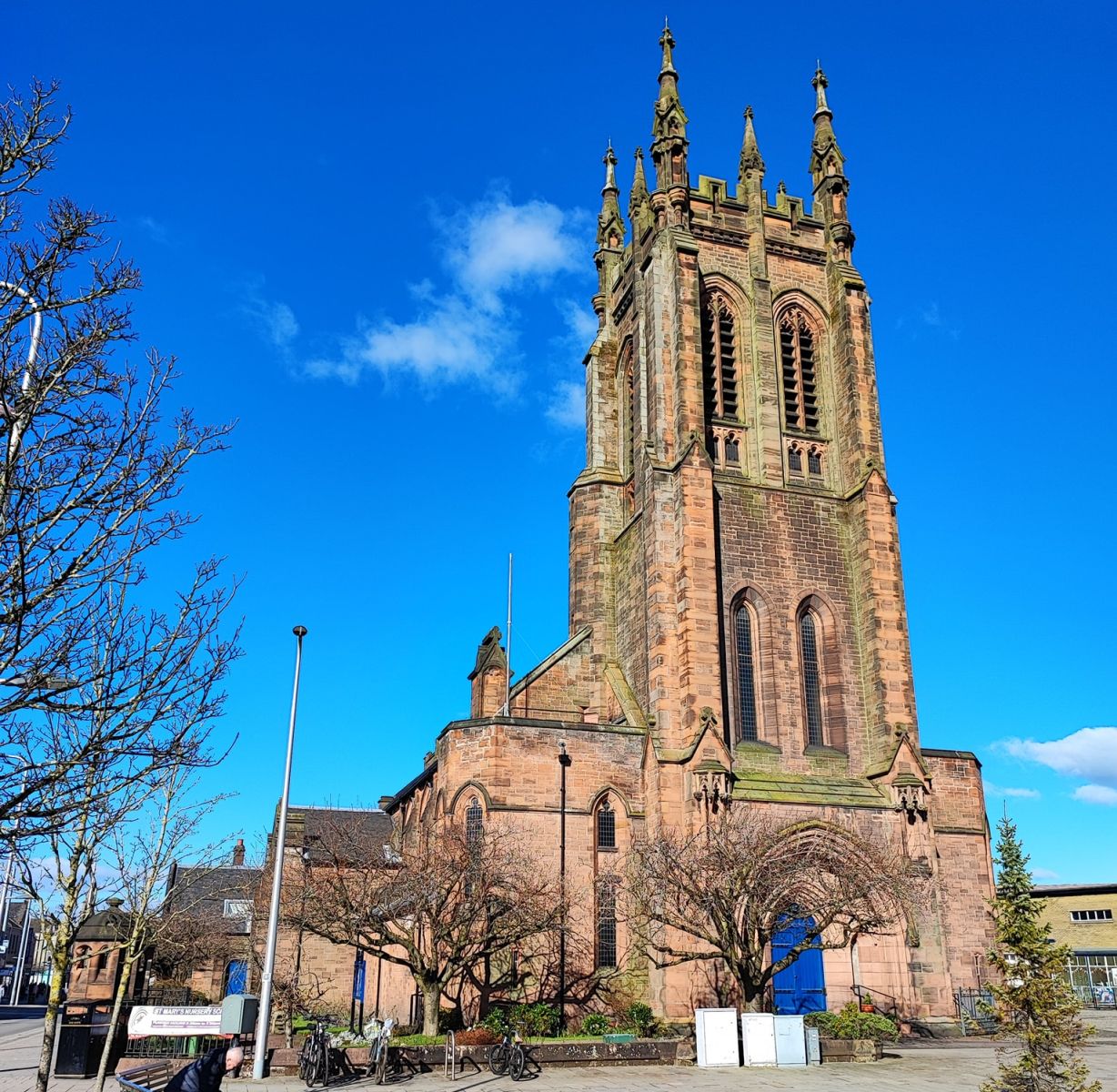
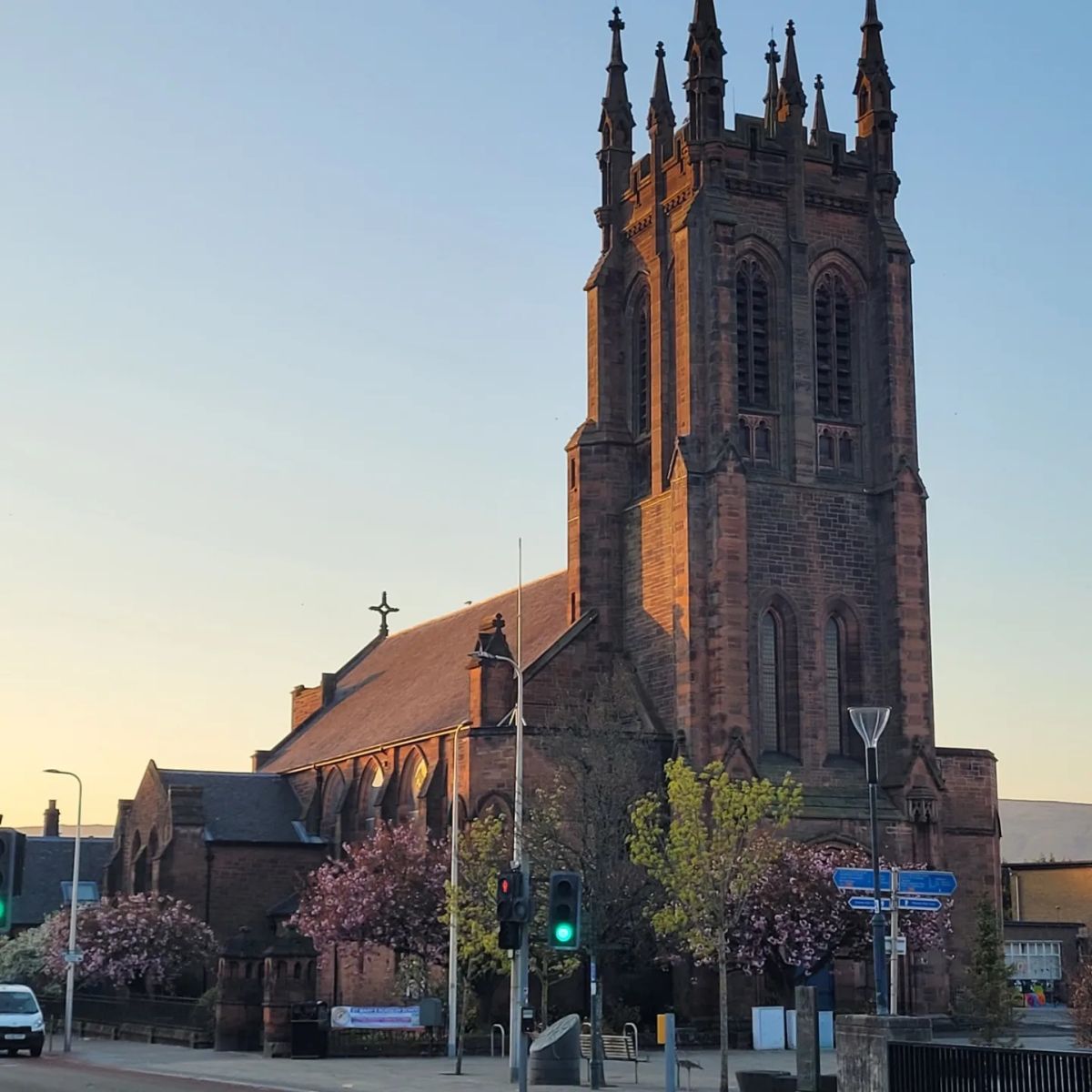
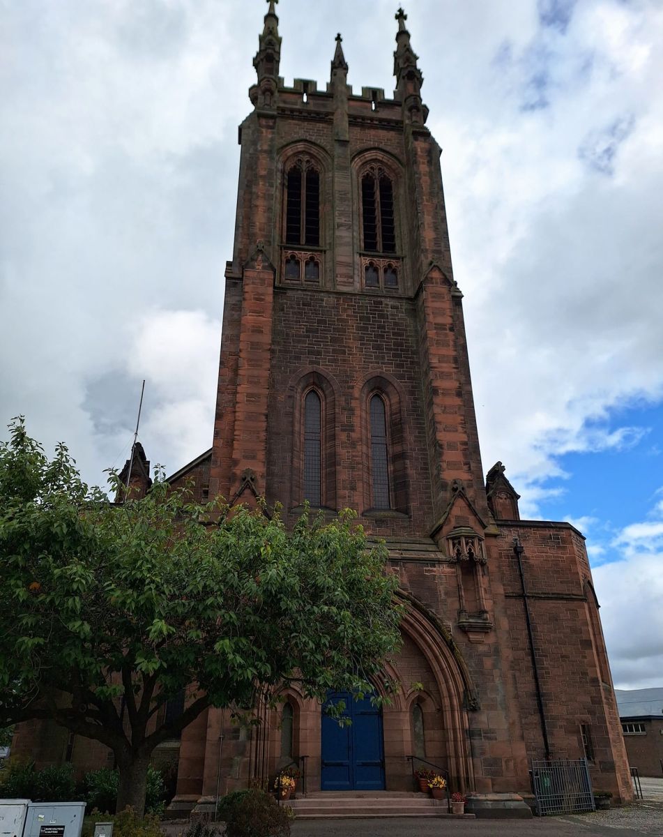
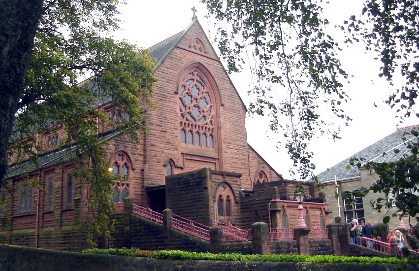
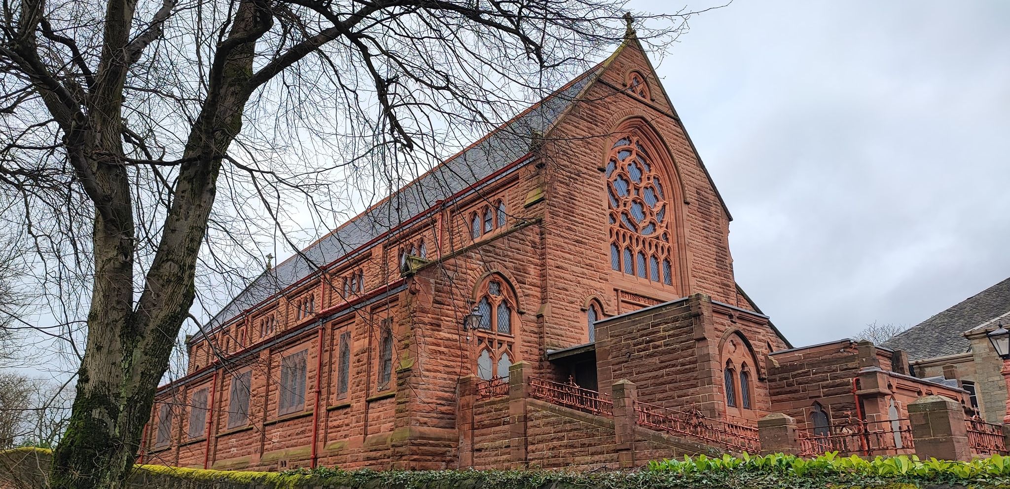
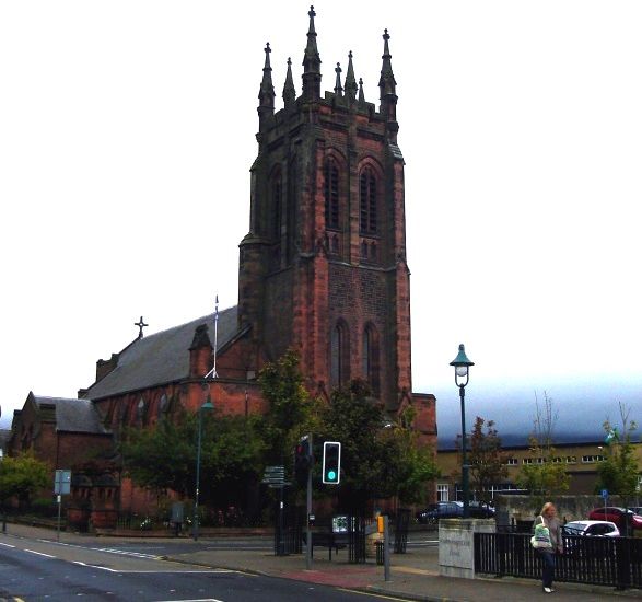 St
Mary's Church in Kirkintilloch
Kirkintilloch lies on the Forth and Clyde Canal, some eight miles northeast of Glasgow. Kirkintilloch is the administrative centre of East Dunbartonshire. |
 |
 |
 |
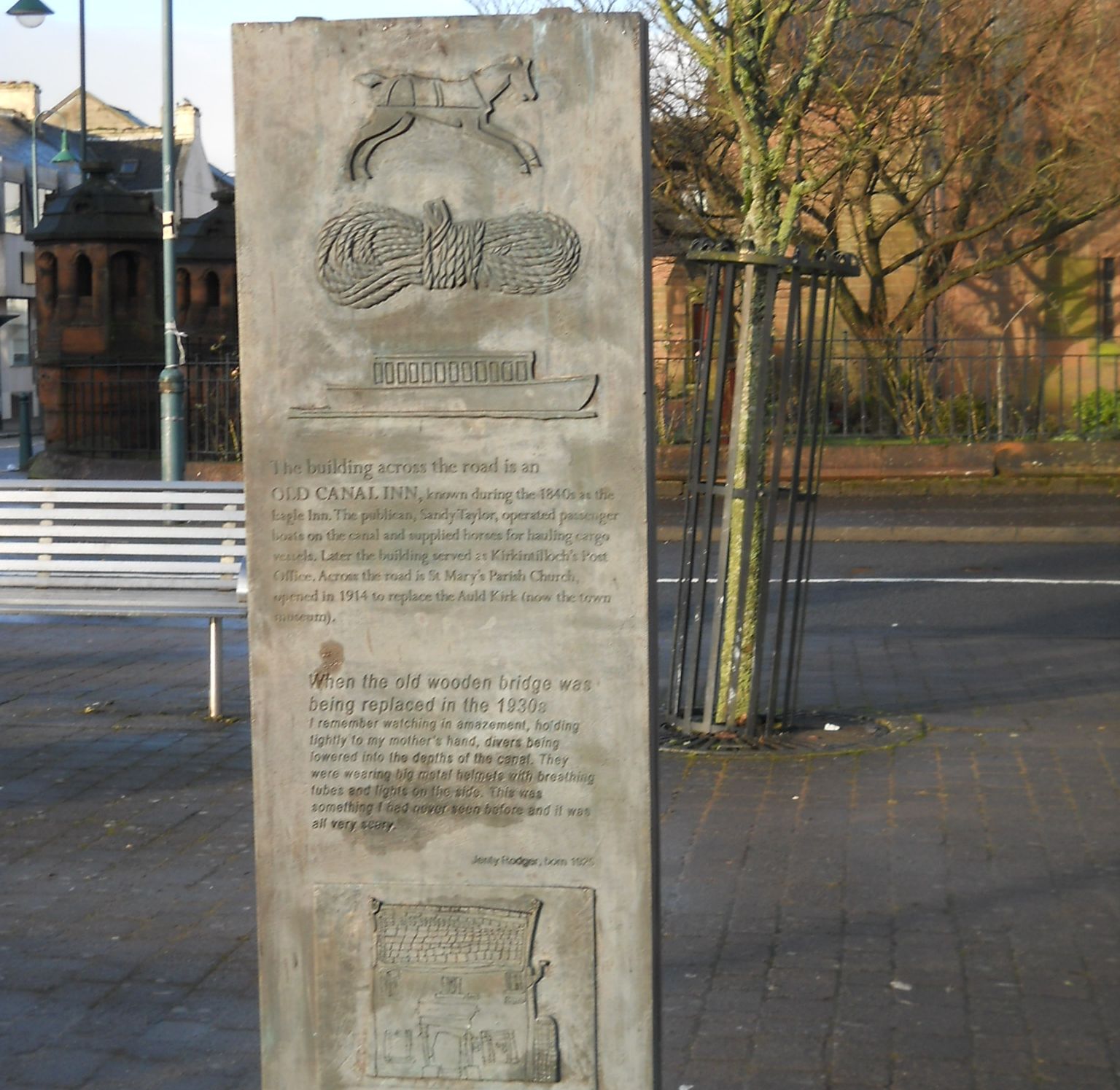 Plaque
outside St Mary's Church
in Kirkintilloch ( Note: Click here or onabove for large format copy ) |
Signpost outside
Saint
Mary's Church
in Kirkintilloch |
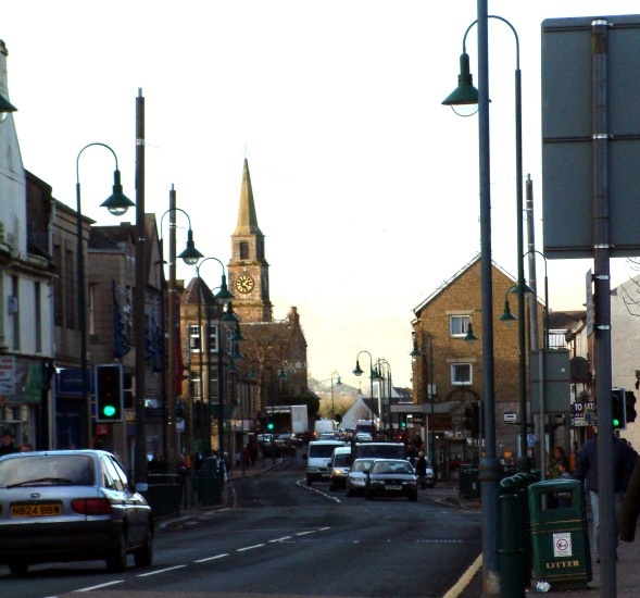 Main
Street
in Kirkintilloch |
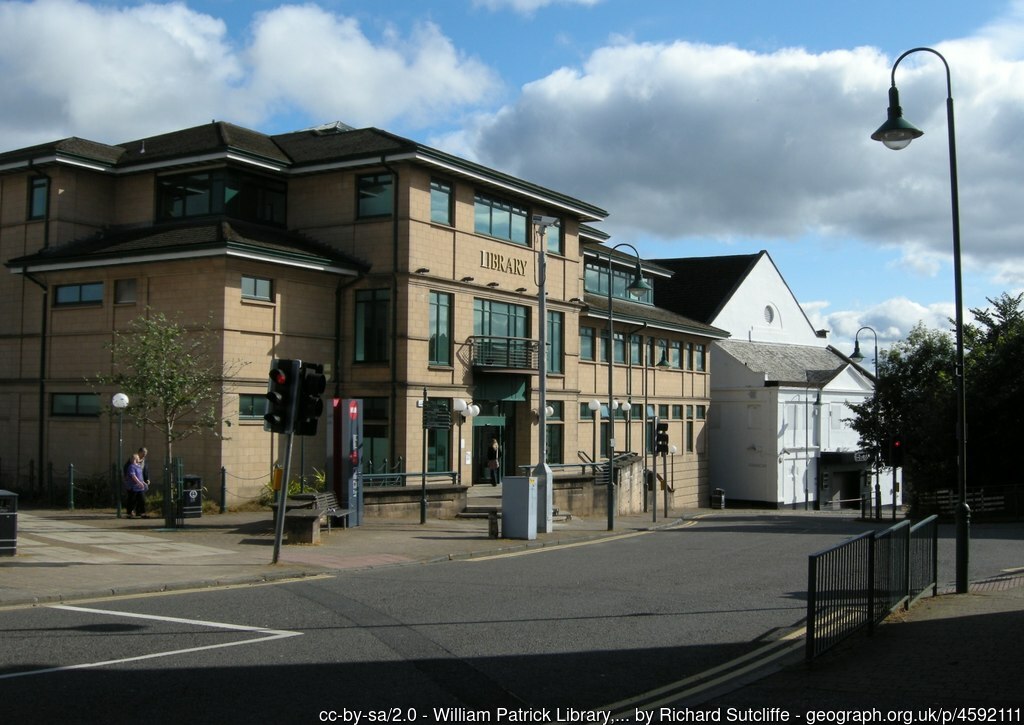 William
Patrick Library
in Kirkintilloch |
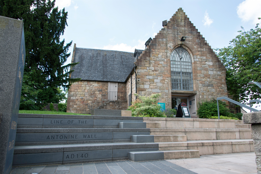
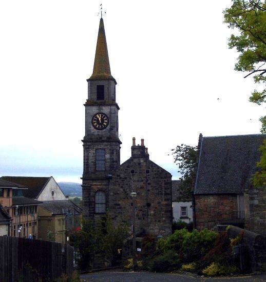 The
Auld Kirk
in Kirkintilloch |
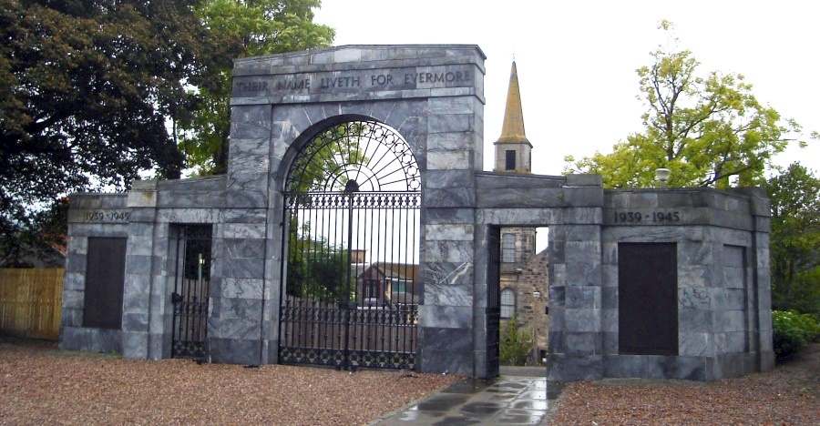 War
Memorial marble
Archway
to Peel Glen Park in Kirkintilloch |
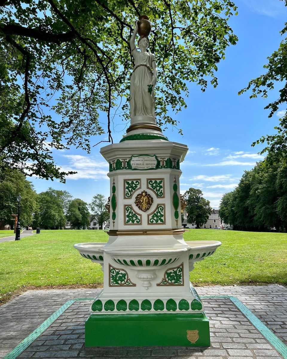 Drinking
Fountain
to Peel Glen Park in Kirkintilloch |
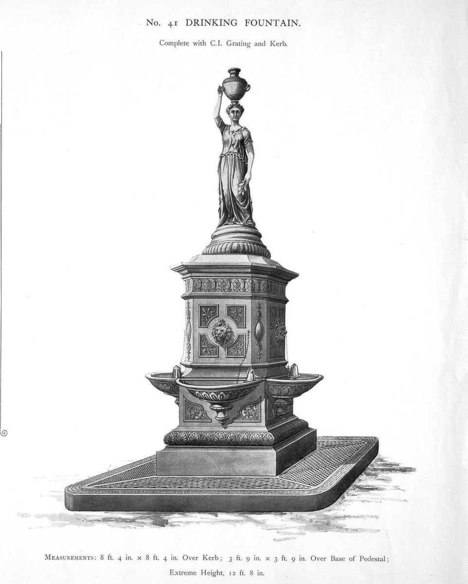 Drinking
Fountain
to Peel Glen Park in Kirkintilloch |
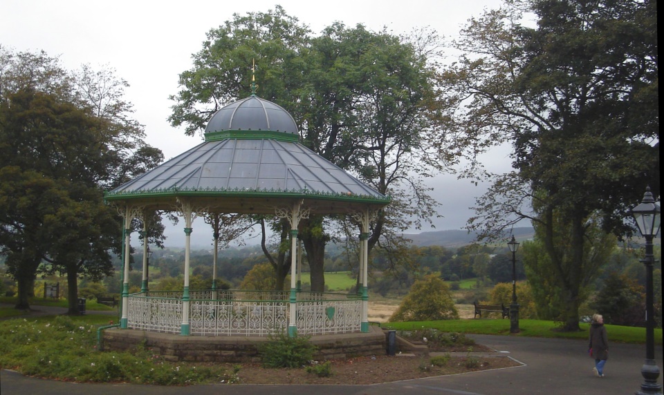 Perry
Bandstand in Peel Glen Park
in Kirkintilloch The line of the Antonine Wall runs through the park. The bandstand and fountain was made in Kirkintilloch by
the Lion Foundry,
famous for its decorative ironwork. Donated
both to the people of Kirkintilloch in 1905. They
now stand as a memorial to the foundry, which closed in 1984. The
Park also has links to mediaeval times when a castle was built in the 13th century by the Comyn family. It guarded one of Scotland's first Burghs of Barony, a status accorded to Kirkintilloch in the year 1211. The name Kirkintilloch derives from Caerpentaloch- "Fort at the head of the ridge" The park affords views of the Campsie Fells |
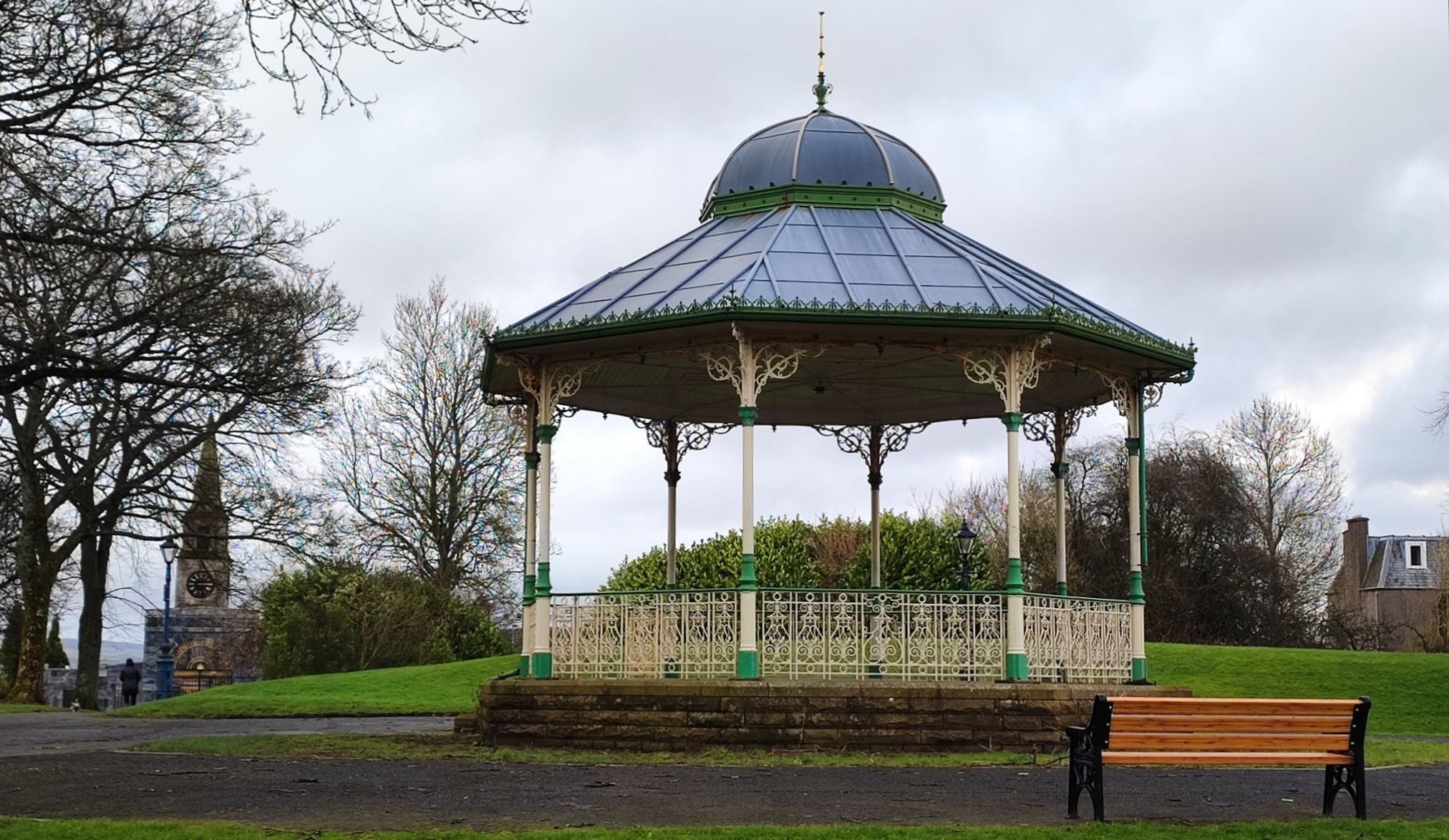 Perry
Bandstand in Peel Glen Park
in Kirkintilloch |
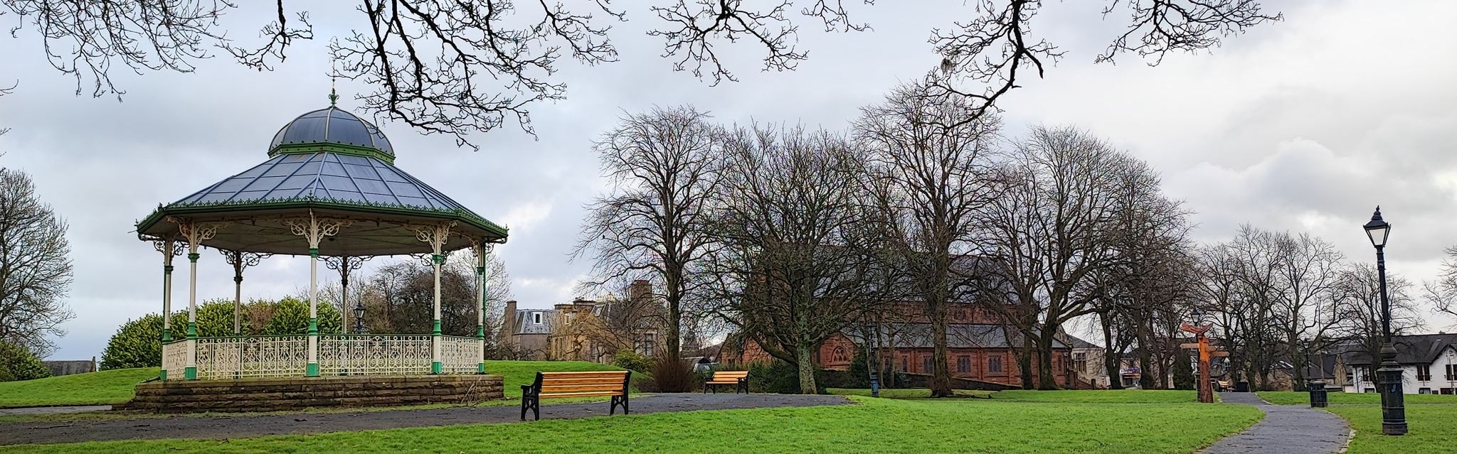 Perry
Bandstand in Peel Glen Park
in Kirkintilloch |
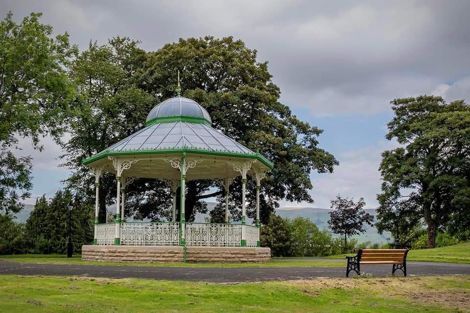 Perry
Bandstand in Peel Glen Park
in Kirkintilloch |
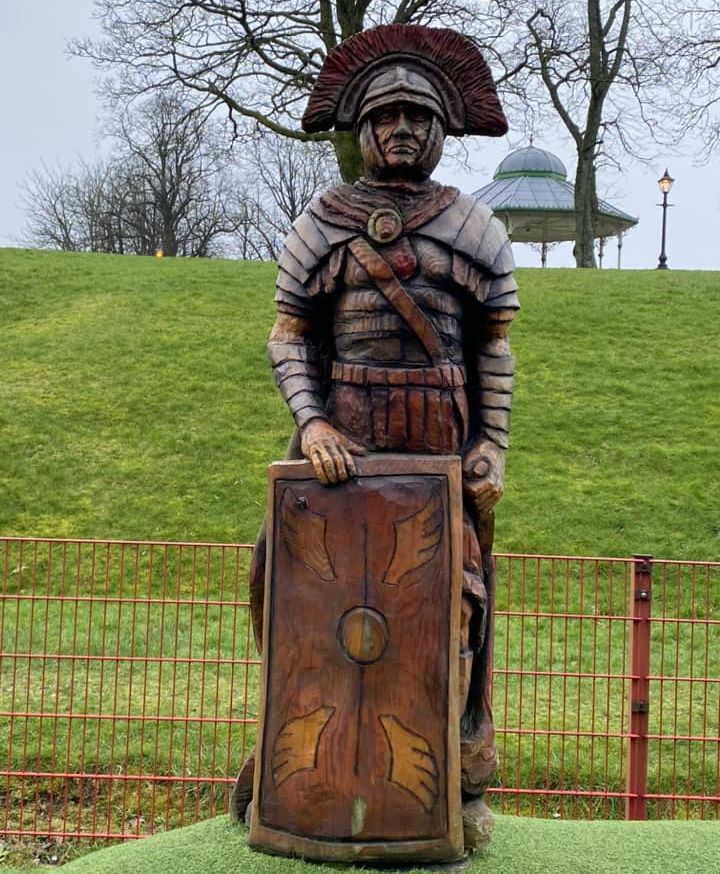 Roman soldier in Peel Glen Park
in Kirkintilloch |
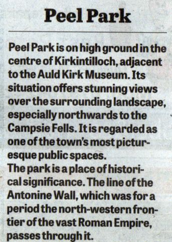 Peel
Glen Park
in Kirkintilloch |
 |
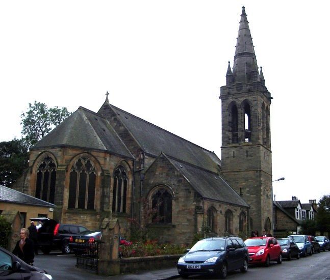
 St
Ninian's Church
in Kirkintilloch |
 St
Ninian's Church
in Kirkintilloch |
 St
David's Memorial Park Church
in Kirkintilloch |
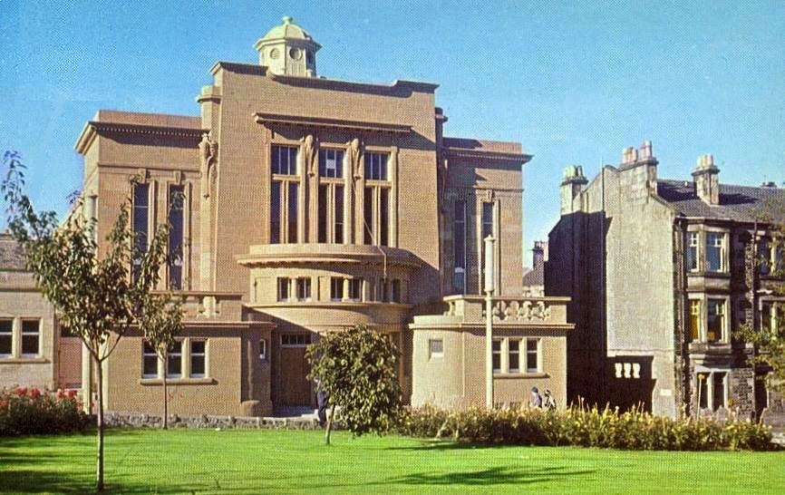 Town
Hall ( as it was )
in Kirkintilloch |
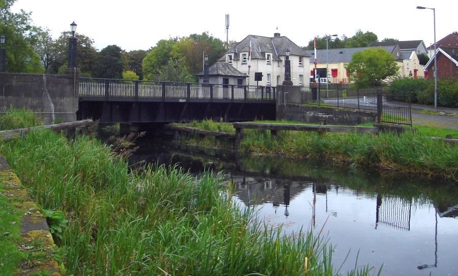 Hillhead
Bridge and Basin
on the Forth and Clyde Canal in Kirkintilloch |
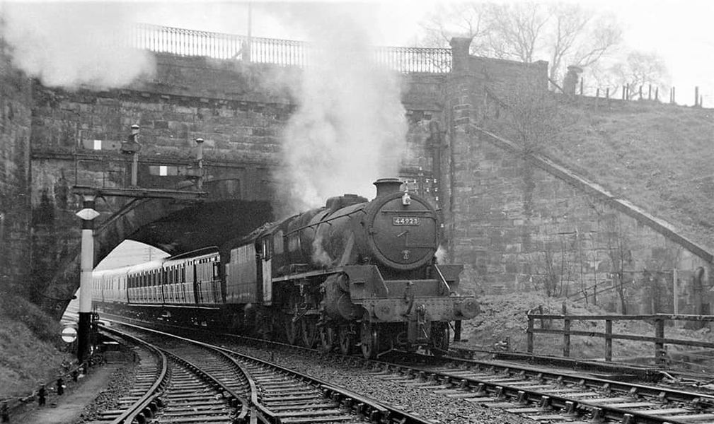 Railway Bridge
in Kirkintilloch |
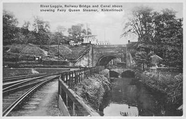 Canal Bridge, Railway Bridge
Luggie Water in Kirkintilloch |
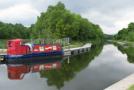
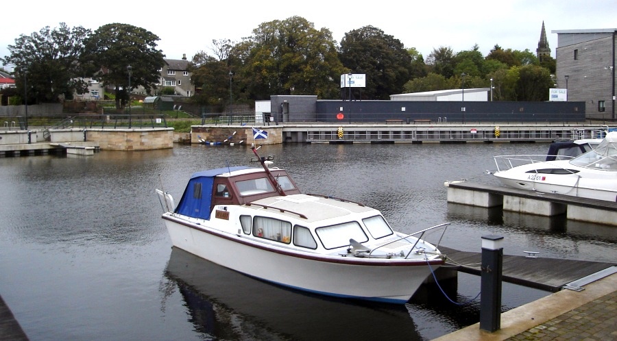 Boats
in South Bank Marina
on Forth and Clyde Canal at Kirkintilloch |
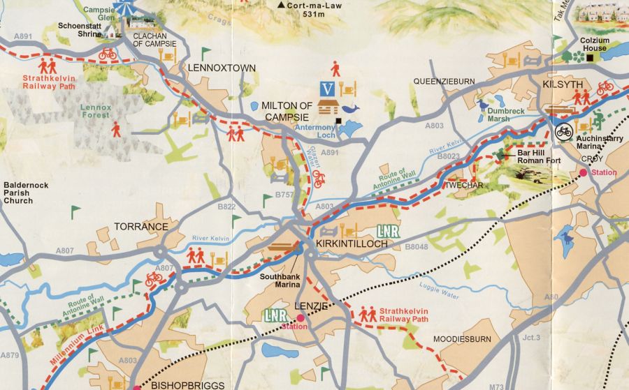 Map of
Kirkintilloch and
Surroundings
|
KIRKINTILLOCH TOWN WALK - ROUTE DESCRIPTION:
 :: Kirkintilloch
Gallery
:: Kirkintilloch
Gallery 
Glencoe | Ben Nevis | Knoydart | Isle of Skye | Isle of Arran
The Eastern Highlands | The Central Highlands | The Southern Highlands | The NW Highlands


