Location: Rothiemurchus and the
Lairig Ghru, Highland Grade:
Moderate lower-level walk Distance:
10 miles/16km Time:
5-6 hours
The
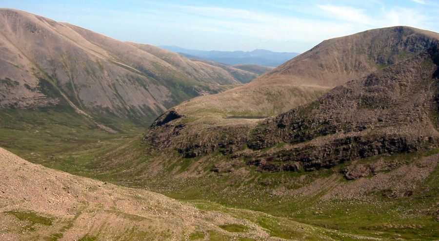
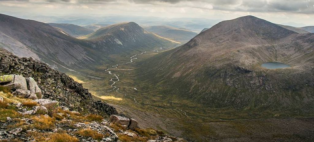
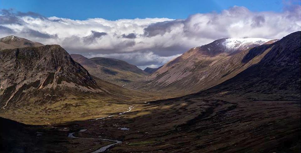
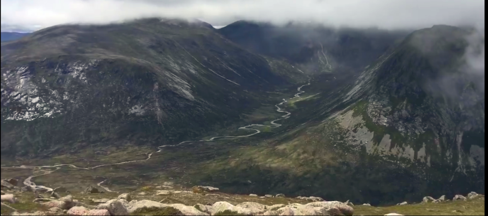
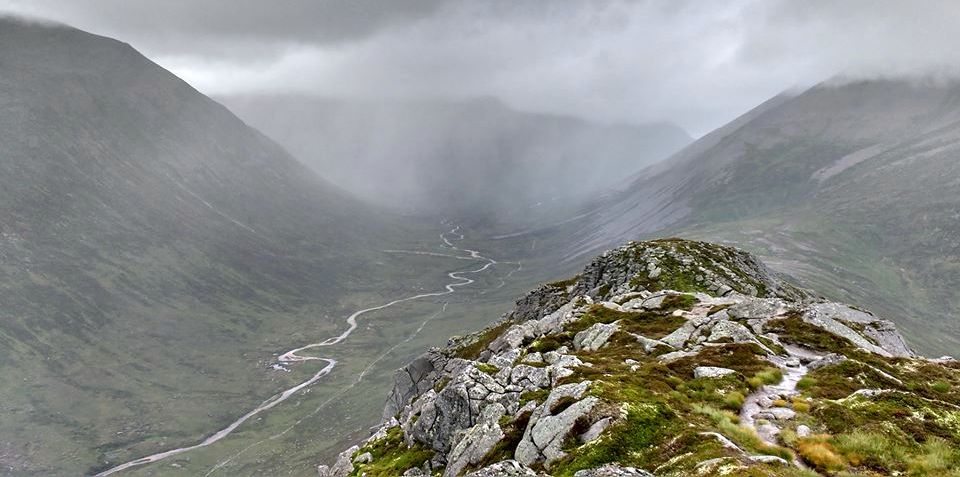
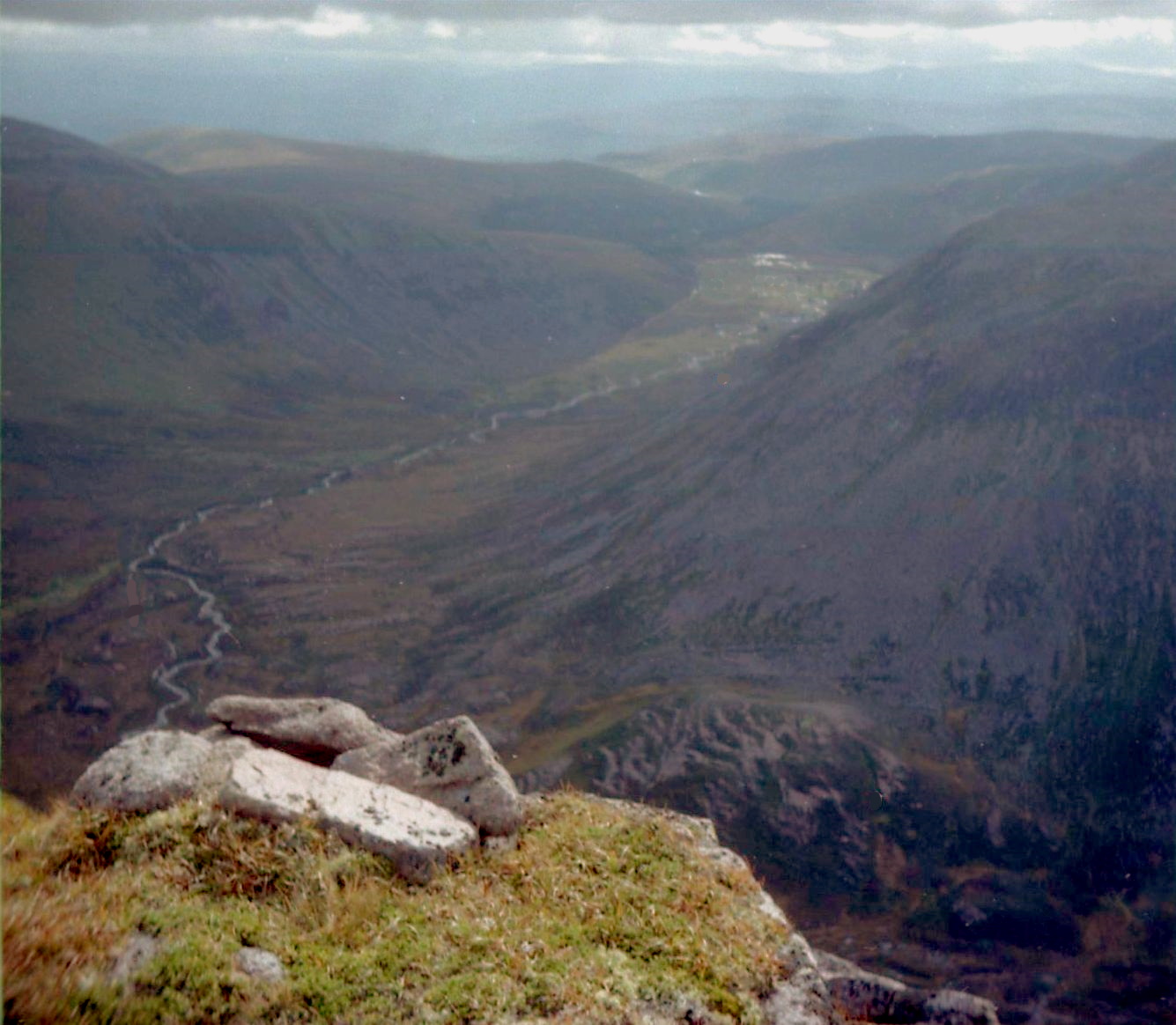
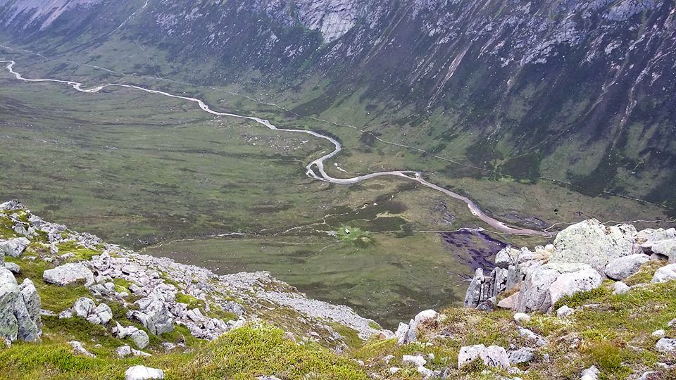
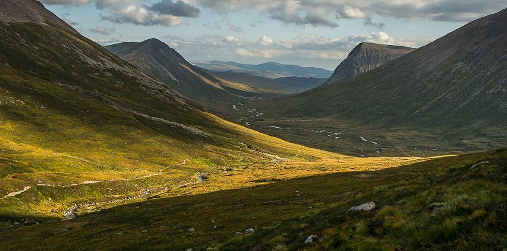
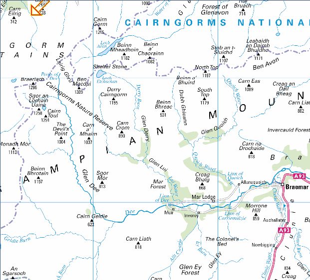
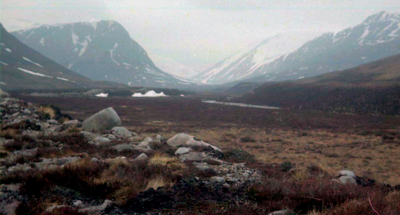
great trough of the Lairig Ghru, the gloomy pass, cuts through the
bulky massif of the Cairngorms, a cleft caused by glaciation with the
swelling upthrusts
of Beinn Macdui on one
side and Braeriach on the other — Britain’s second and third highest
hills respectively. The through walk
from Coylumbridge
near Aviemore to Braemar is nearly 30 miles in length and rises to a
height of more than 2,500
feet, a bit long for a winter’s day so instead I wandered through the
ancient forest of Rothiemurchus to a high point from where you can virtually
gaze into the jaws of the Lairig itself. Rothiemurchus is the name of
the parish that lies between the River Spey and the summits of the high
Cairngorms.
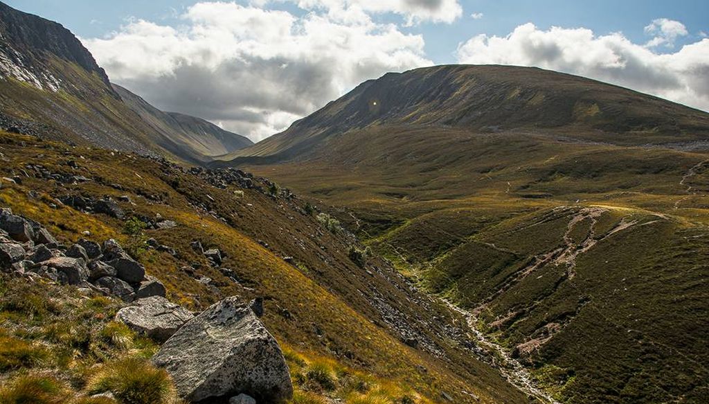
Because of the rich variety of the landforms contained in the estate
the landscape passes from low-lying agricultural fields, through
open heather moorland to the magnificent remnants of the ancient Forest
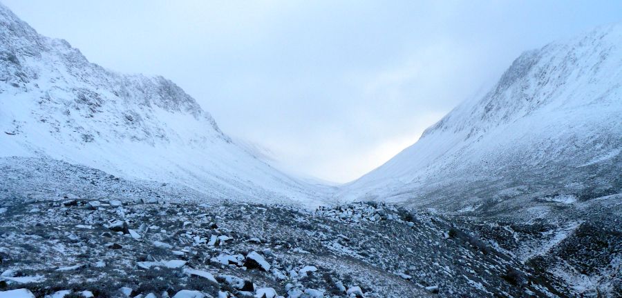
of Caledonia. The route of the Lairig Ghru was used in times gone by as a drove road,
one of the
highest in the country, and today is one of the classic high-level
passes in Scotland.
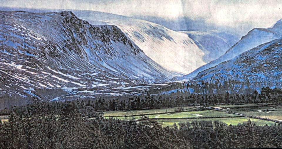
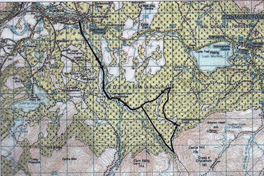
I
left Coylumbridge in dazzling sunshine made even more spectacular by a
hoar frost that had turned the trees white. I followed the path to the old
Cairngorm Club footbridge over the Allt Druidh. The path crosses a
large clearing in the woods with the V-shape of the Lairig away ahead,
and continues
beyond the river to a
path junction known locally as Piccadilly!
From
here my route lay upwards, climbing steadily past ancient pines,
gnarled with time, trees which gradually become smaller and more stunted
the higher you climb. Soon you’ll leave the pines behind you and reach
another path leading of to the left. This is the high point of the
route and
from here you can enjoy the views into the jaws of the Lairig Ghru and
behind you over Rothiemurchus towards the blue swell of the Monadhliath
mountains. The path leads to the Joint Services Training Centre at
Rothiemurchus Lodge, then follows a land rover track back
down towards Glenmore. After a mile or so I desperately wanted to swop
the commercial forest that had sprung up on either side for the natural
beauty of the pine woods so I took another track that runs off to the
left and followed its winding course through the Woods again to
Piccadilly and
the path back to Coylumbridge
and home.
ROUTE
PLANNER
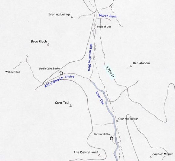
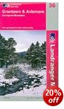
Map:
OS 1:50,000 Landranger sheet 36
(Grantown & Aviemore), Harveys Mountain Map, The Cairngorms Distance:
About 10 miles/ 16km Time:
5-6 hours Start/Finish:
Coylumbridge, on the B970
Aviemore to Glenmore road GR:
NH917108) Information:
Aviemore TIC, 01479 810930
Route:
Leave Coylumbridge and follow signposted path that runs alongside the
campground. At fork, go L past a large
cairn, cross the clearing with
dense juniper bushes on R before crossing a stream and heading back
into woodland.
Further
on go into a fairly dense conifer plantation. Cross Allt Druidh by the
iron bridge, follow the path through another clearing
and soon you'll reach a point where
paths go off in various directions. Take the path climbing S, past the
signpost
which points to the Lairig Ghru and
Braemar. Soon leave the pines behind and reach another path leading off
L.
A signpost points to Rothiemurchus
Lodge. Follow the path past the Lodge and follow a track back down
towards
Glenmore. After about 1.5km a
footpath leaves this track to the left and winds through the forest to
meet up with your
outward route. Follow the path back
to Coylumbridge.