|
Images of ScotlandTMonkland Canal
|
|
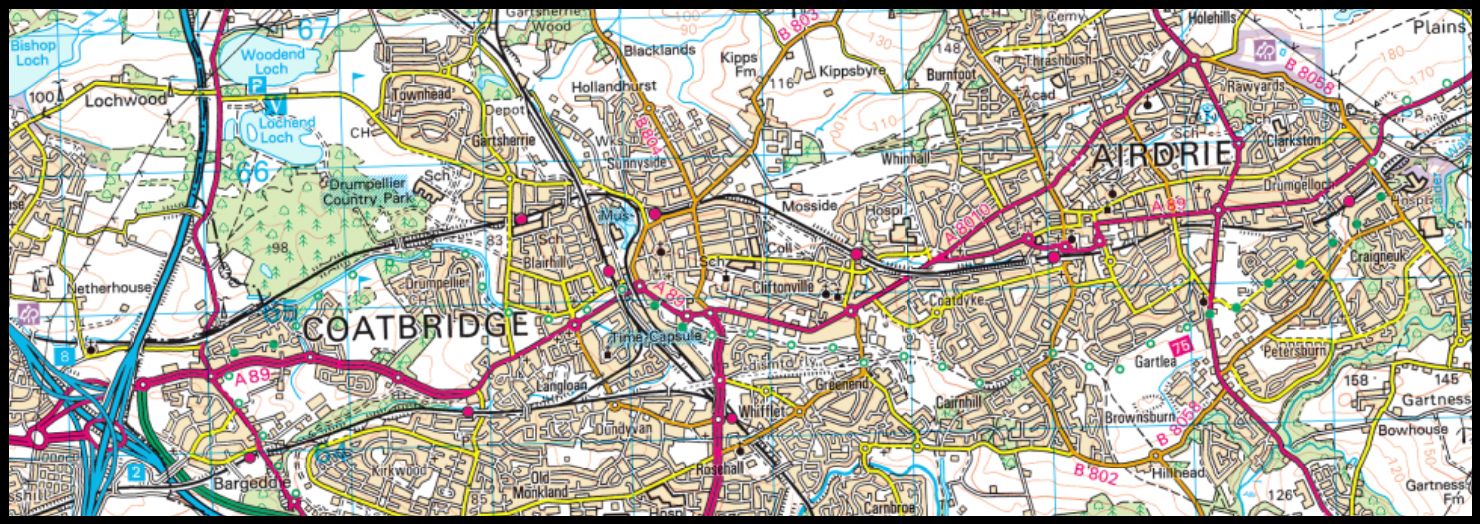
Photographs of the Monkland Canal
and
the North Calder Heritage Trail
along the NCR 75 cycle route
from Coatbridge to Airdrie
 |
 |
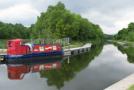
 Monkland Canal on
outskirts of Coatbridge
|
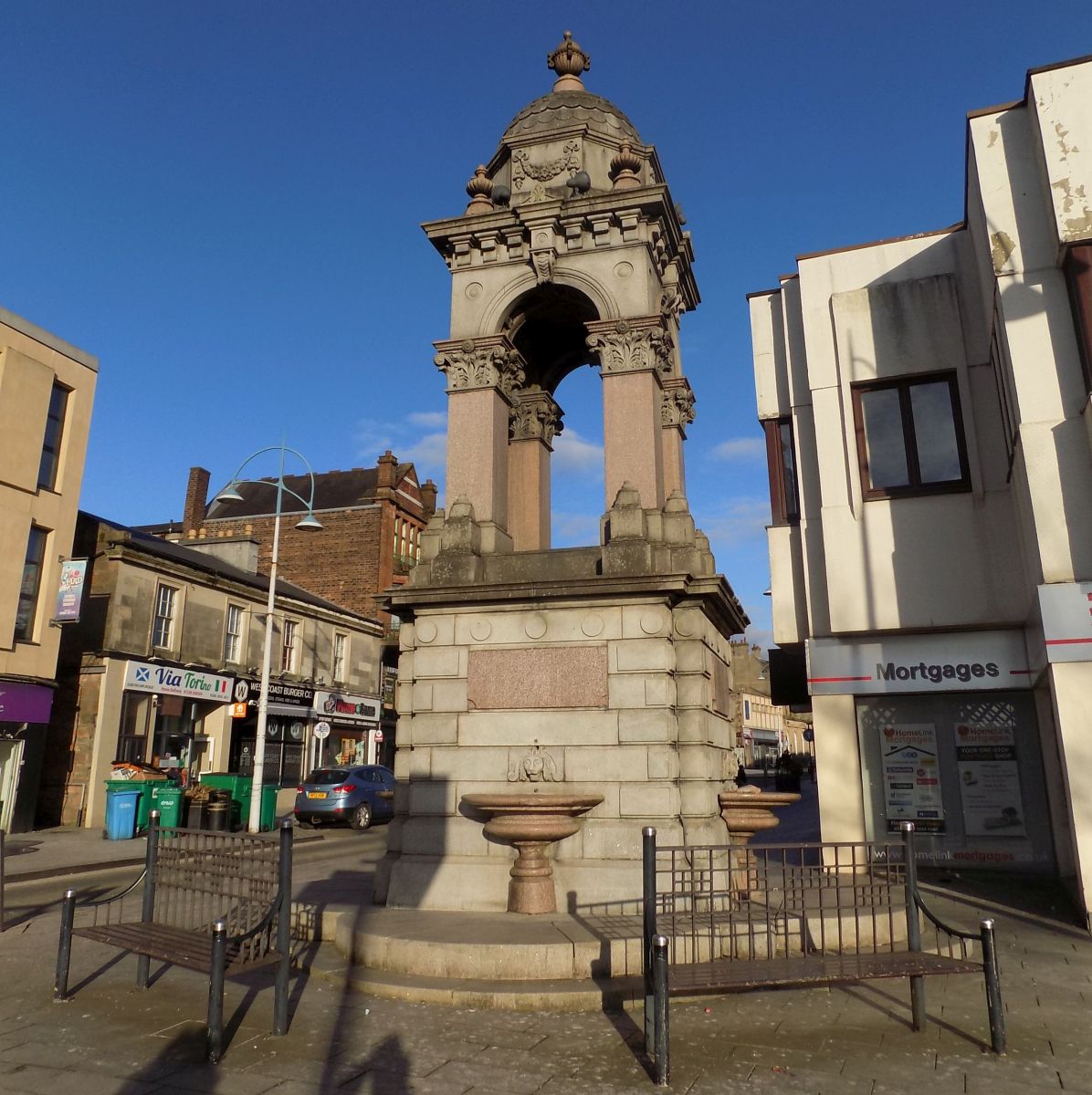
 Monkland Canal in Coatbridge
|
 |
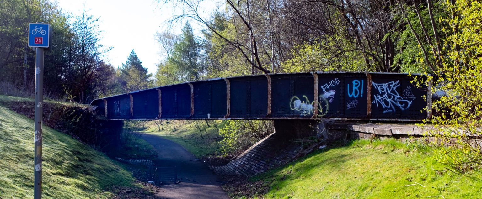 Swing Bridge
over route of the Monkland canal
built to carry the Sheepford Branch of the Monkland & Kirkintilloch Railway |
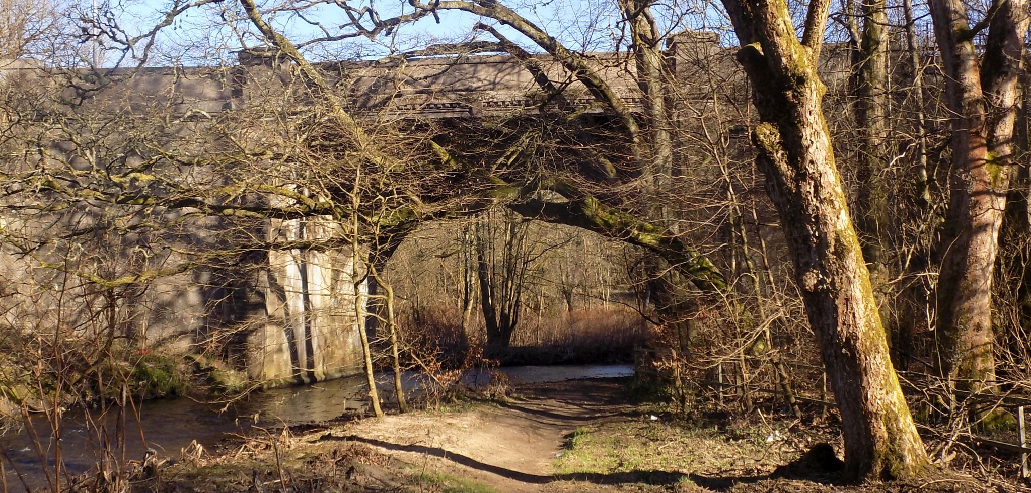
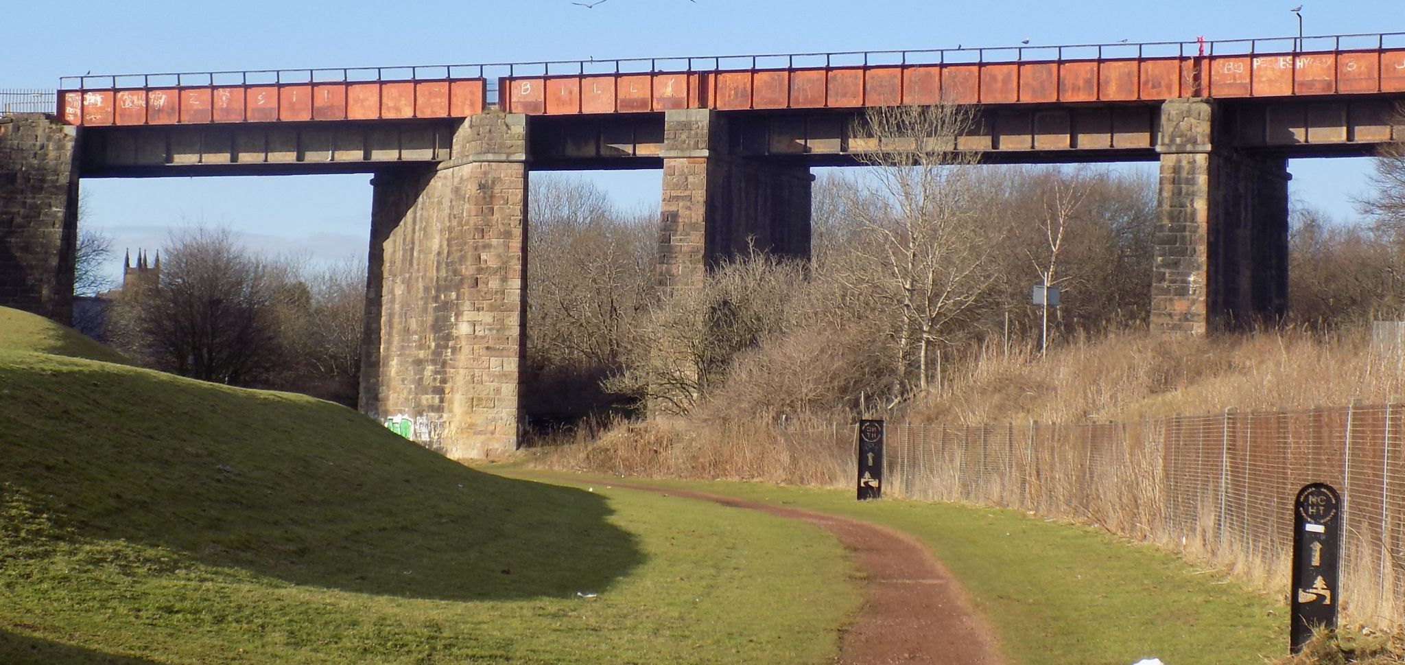 Locks Street Railway
Viaduct in Coatbridge
over the route of the Monkland Canal Built in the 1880’s for the Caledonian Line between Rutherglen and Airdrie. |
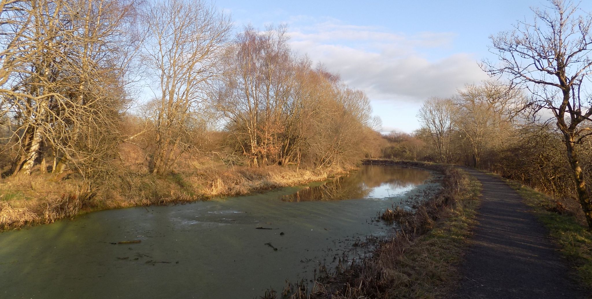
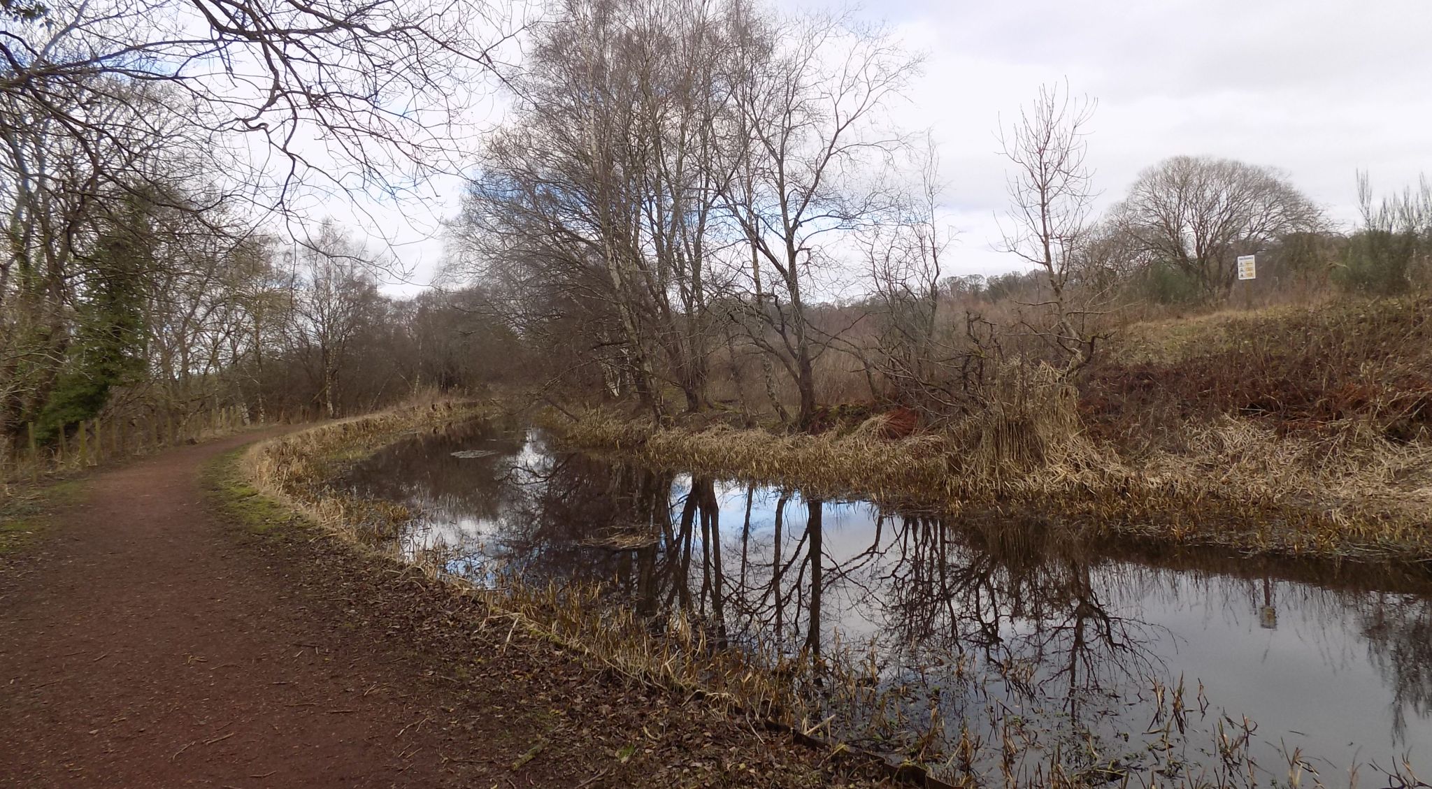 Monkland Canal on outskirts of Coatbridge
|
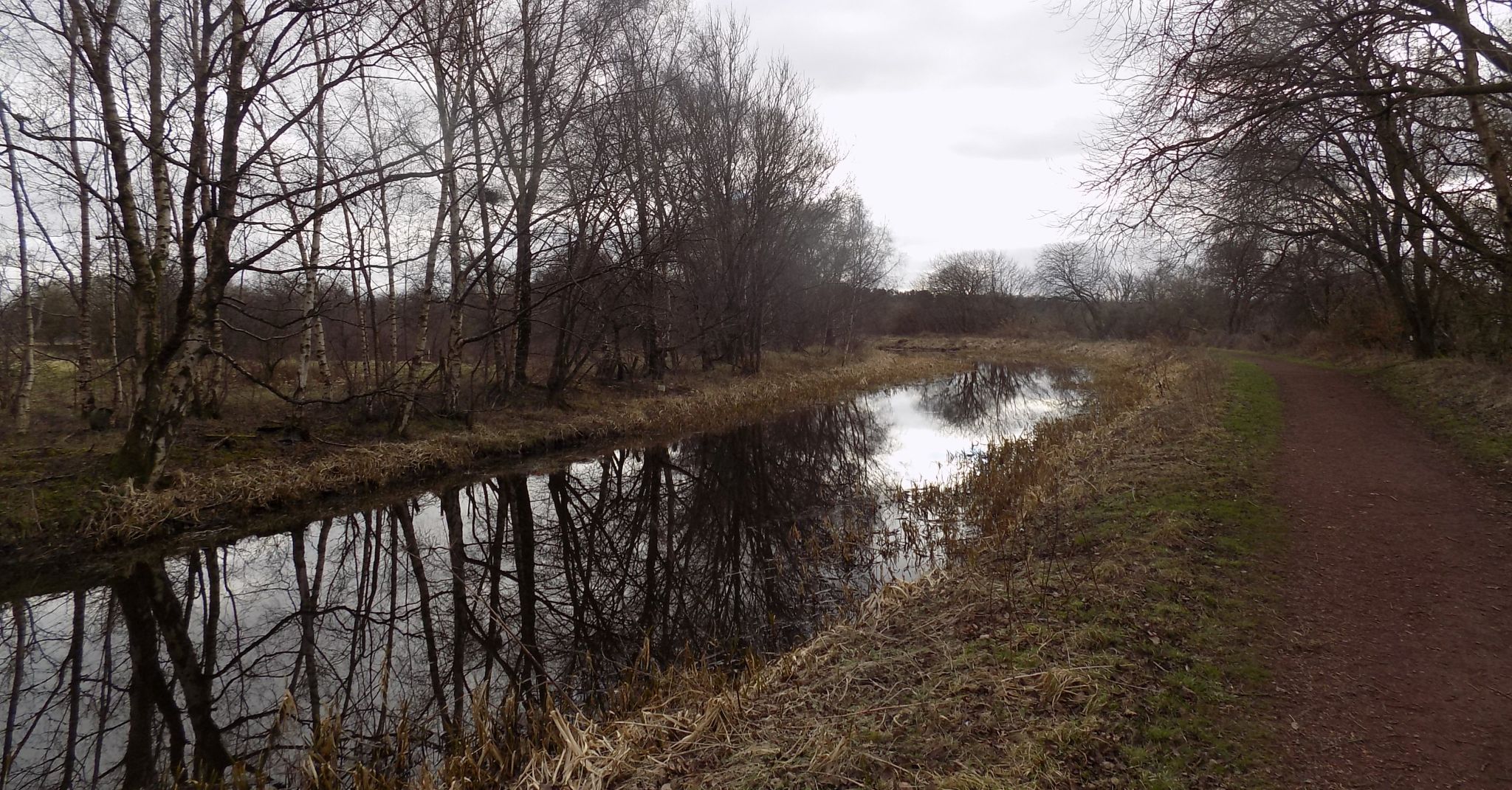 Monkland Canal on outskirts of Coatbridge
|
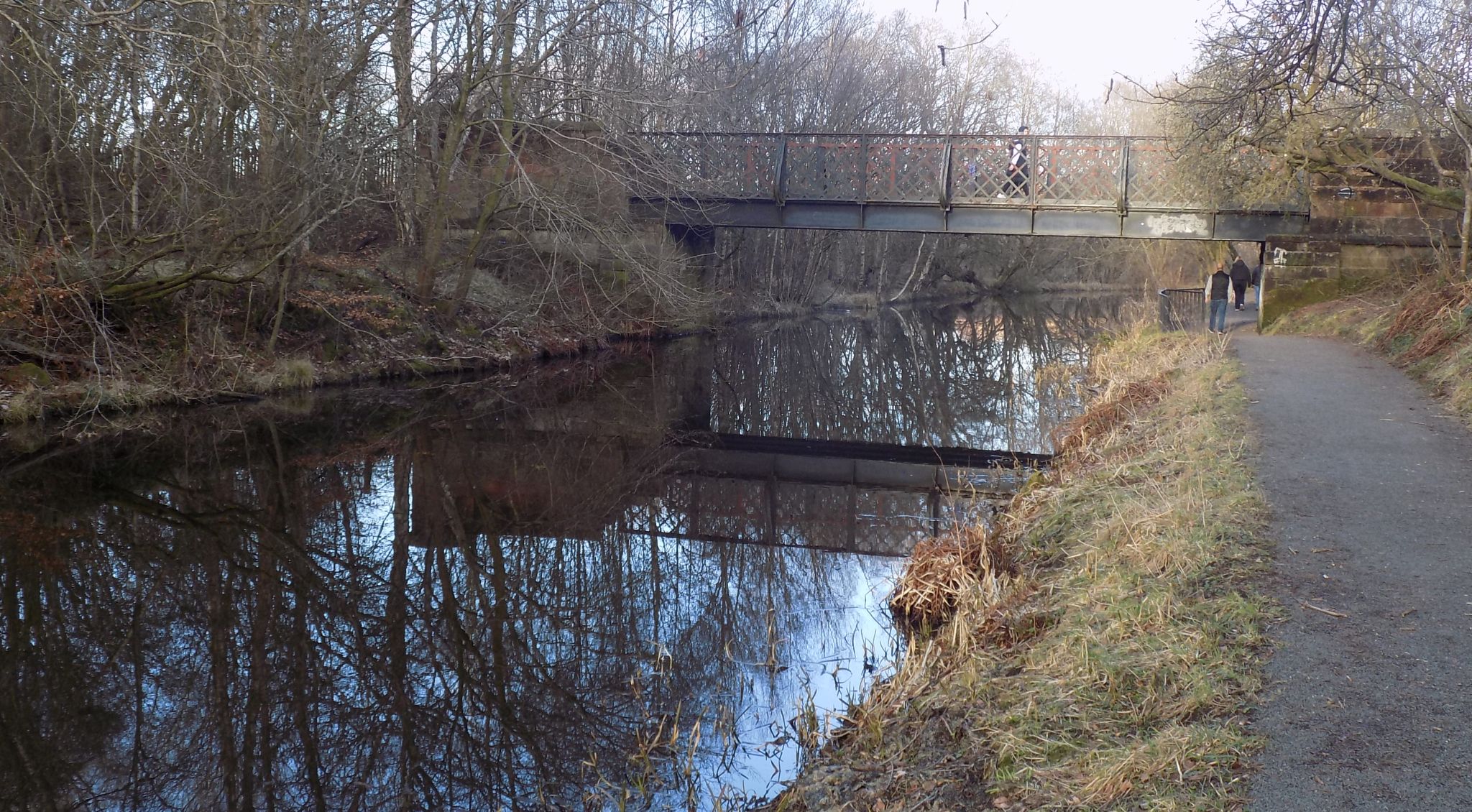
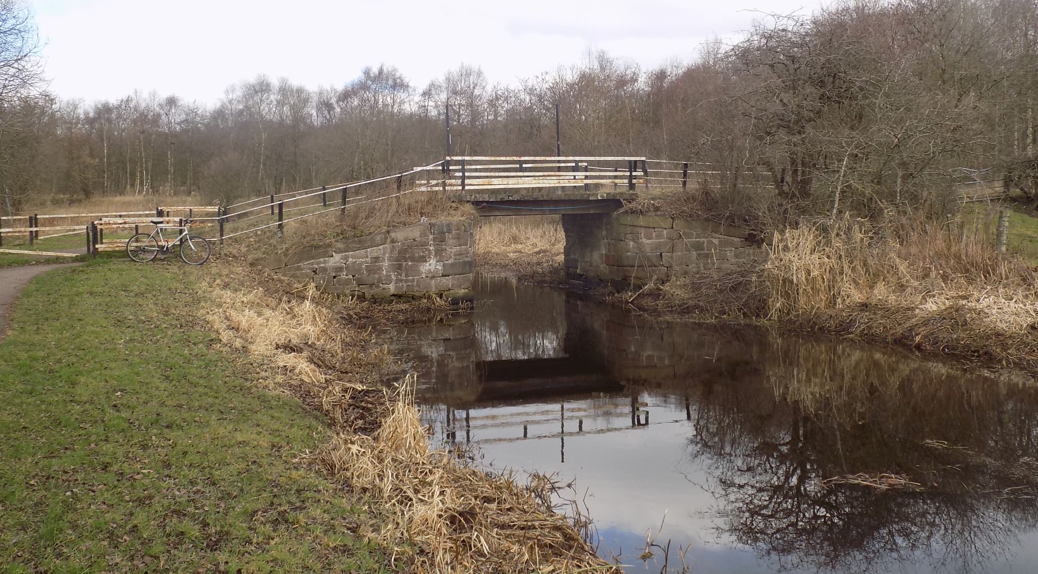
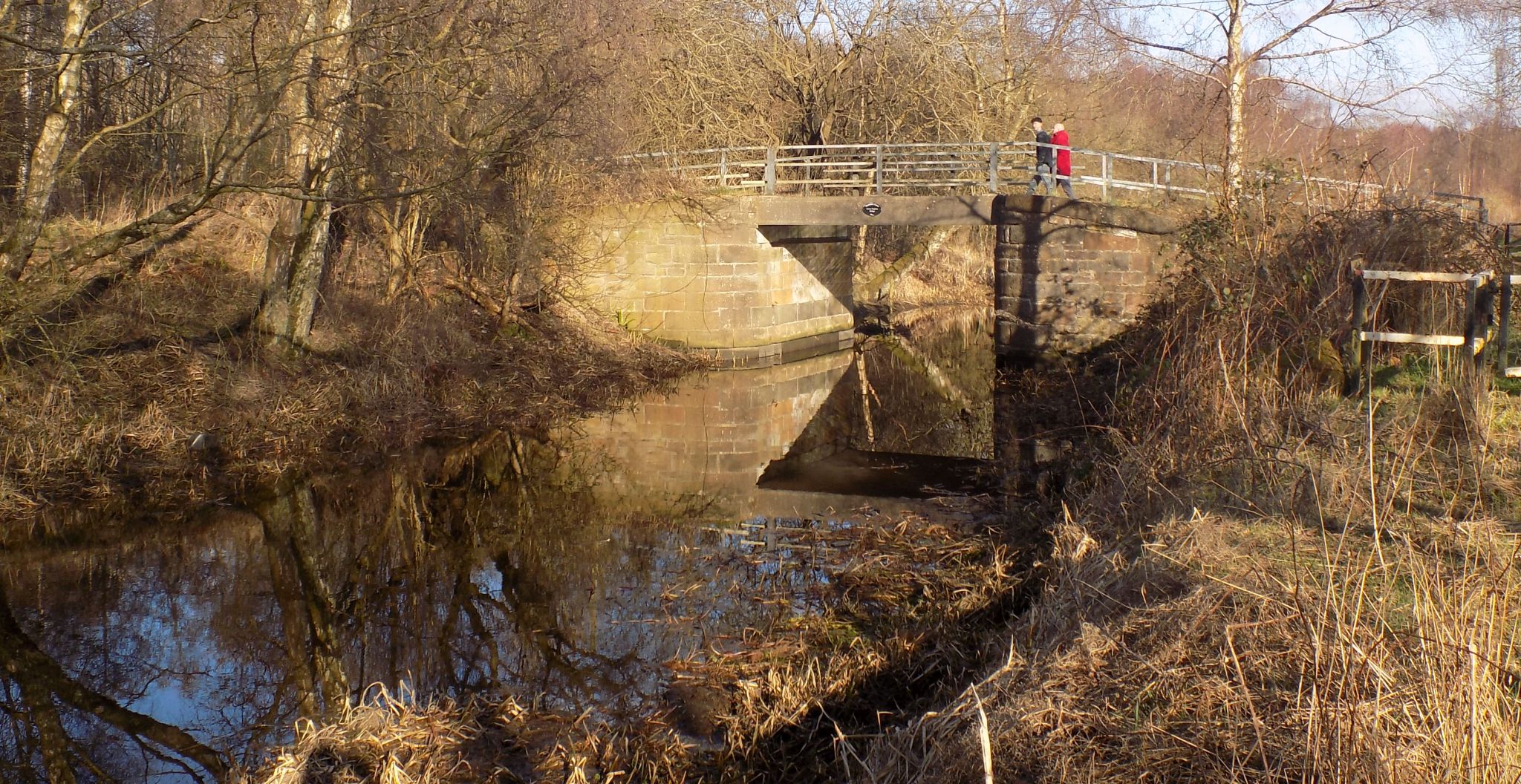 Bridge over Monkland
Canal
|
 Bridge over Monkland
Canal
|
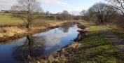
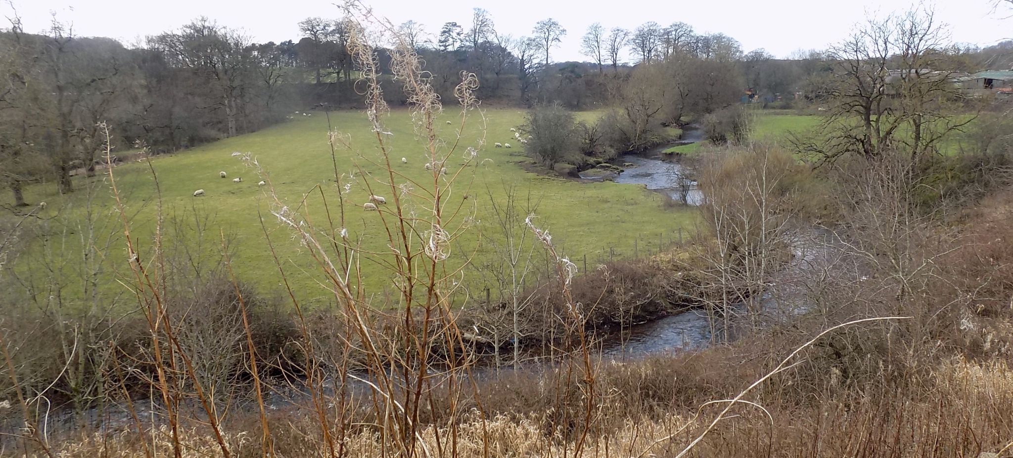 The North Calder
Water
|
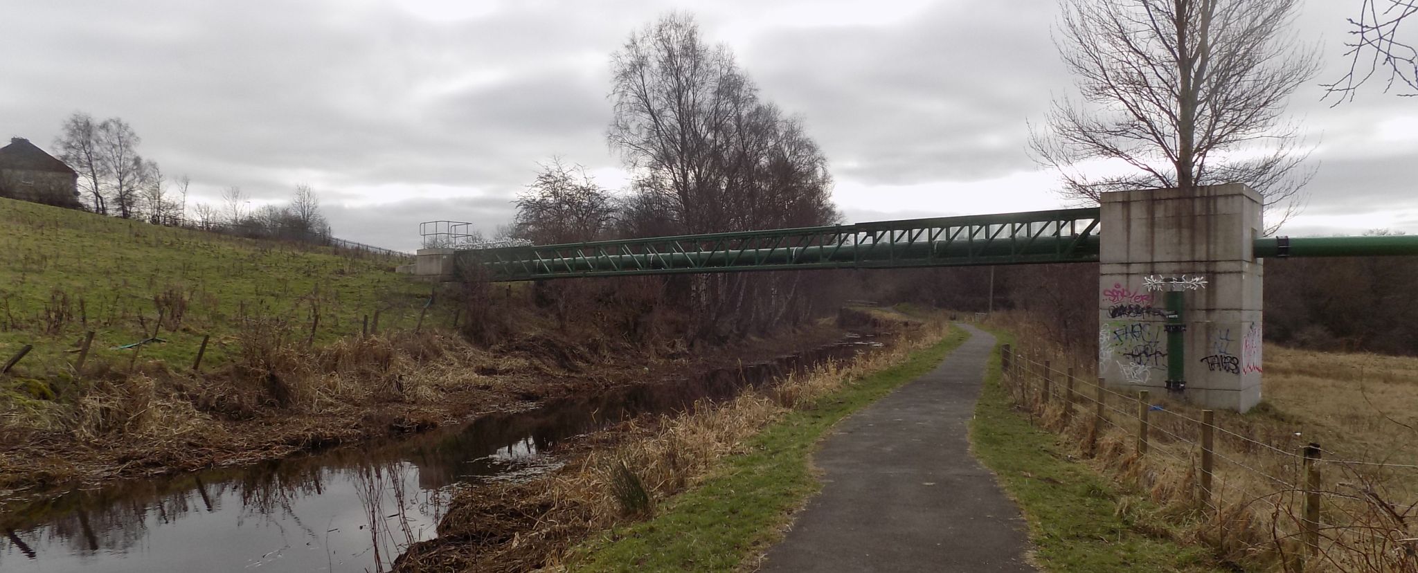 Pipe Bridge over
Monkland Canal
|
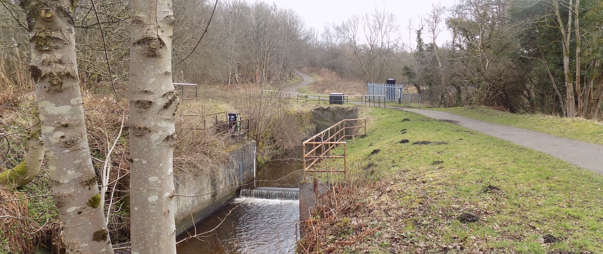
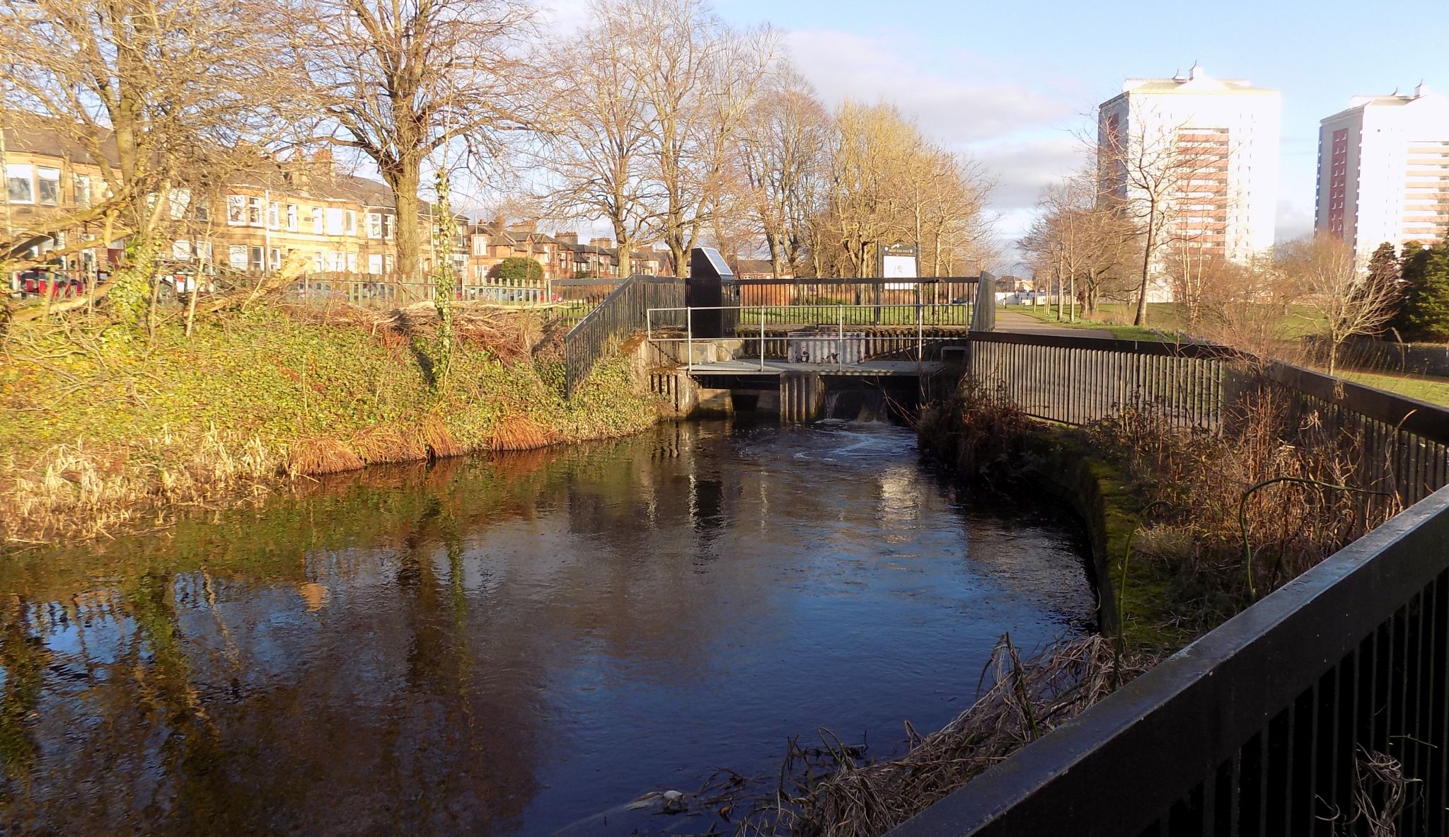
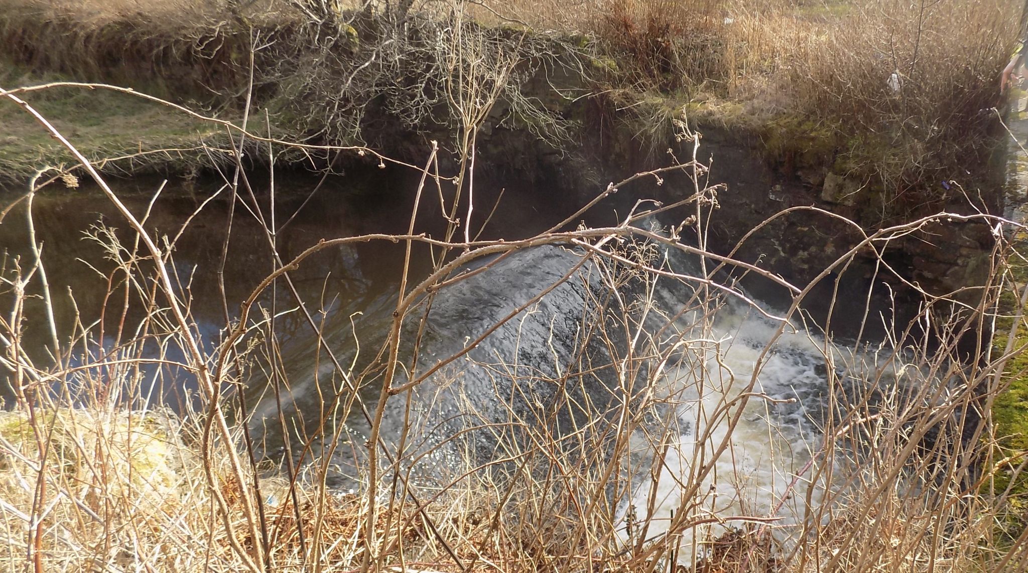
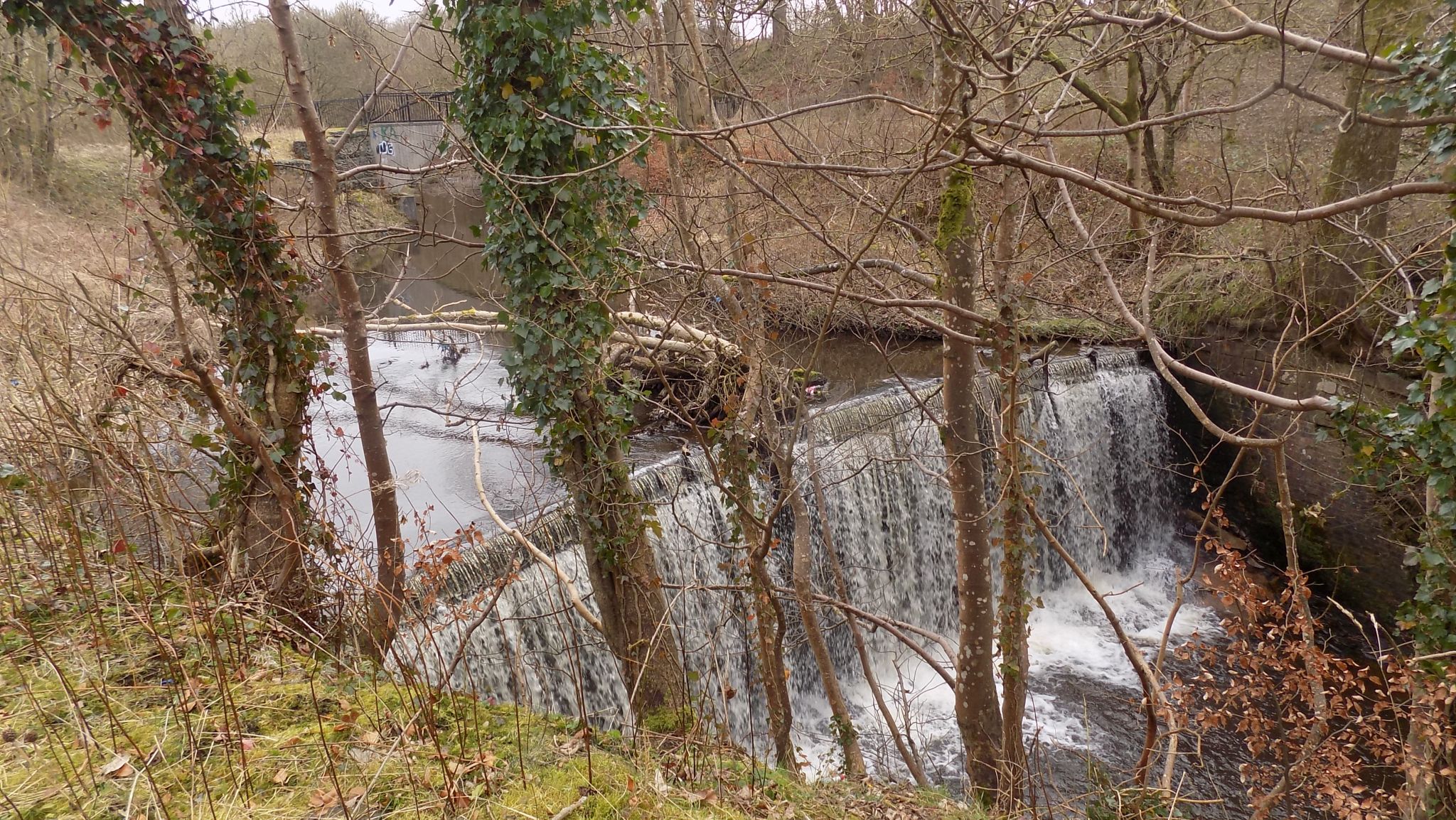 Waterfall on North
Calder Water
|
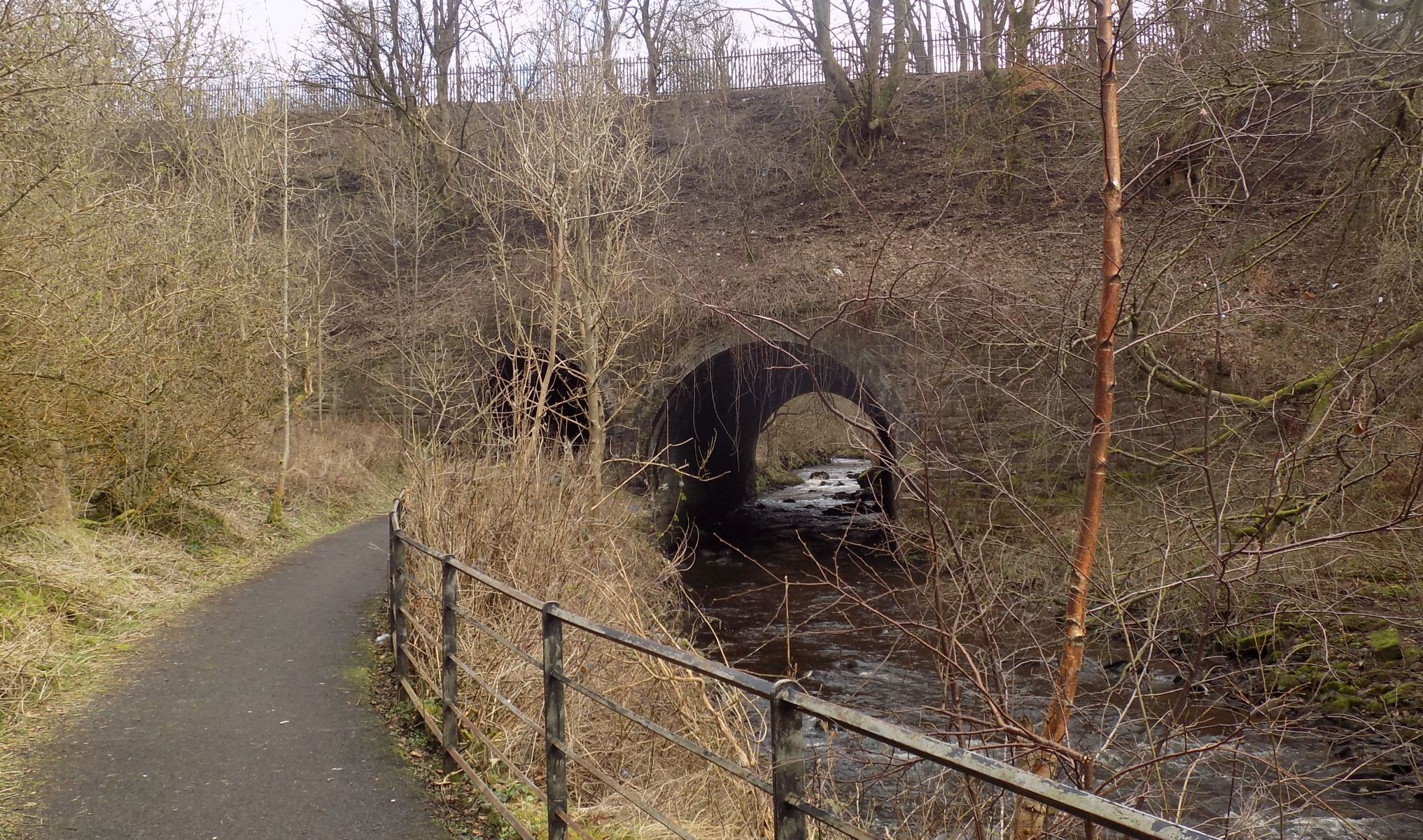 Bridge over North
Calder Water
|
 Waterfall on North
Calder Water
|
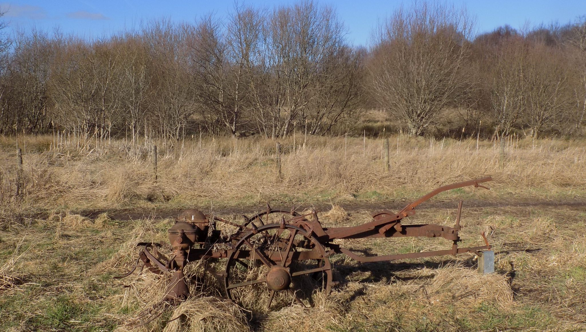 Brownsburn
Community Park
|
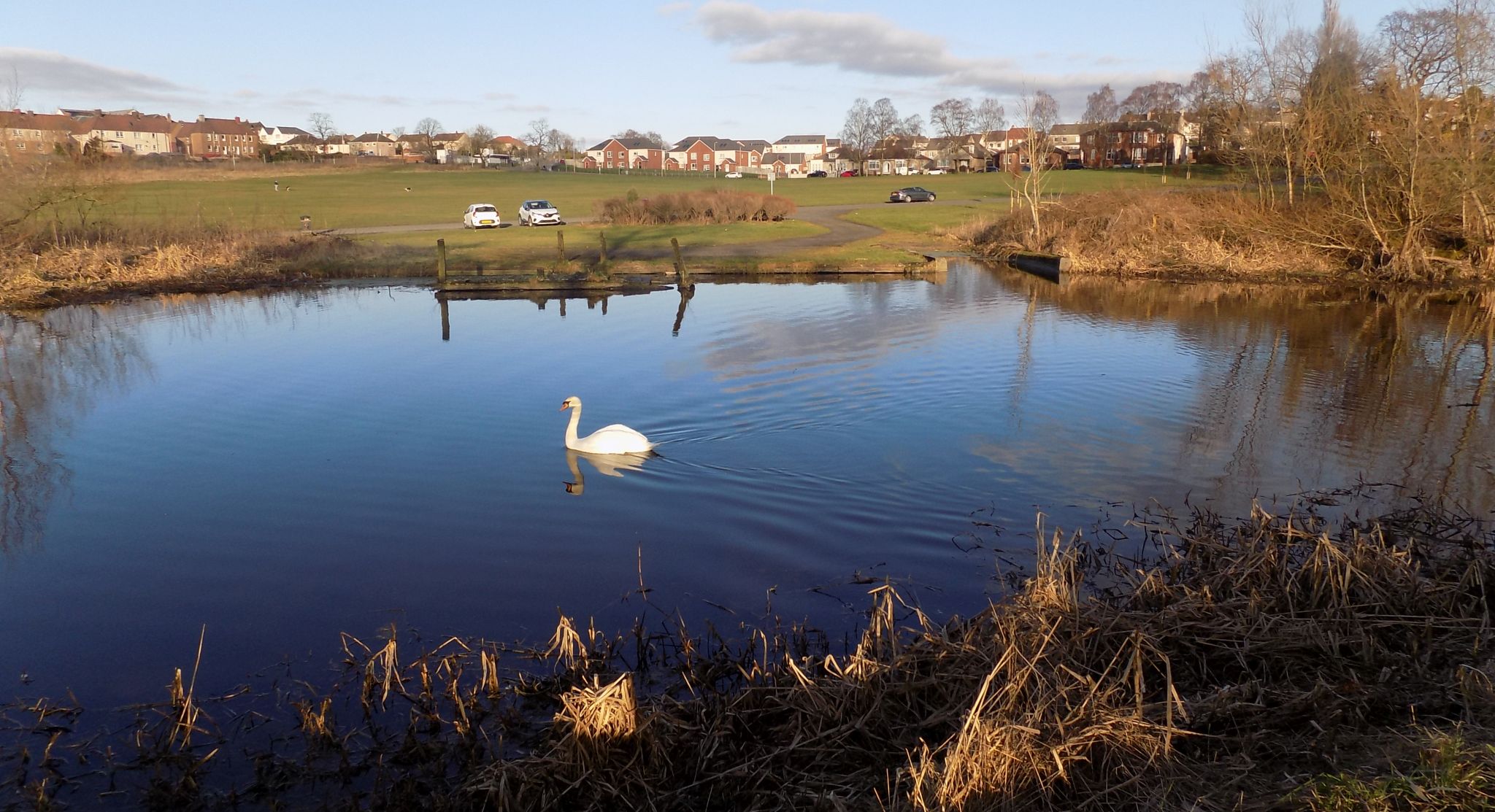
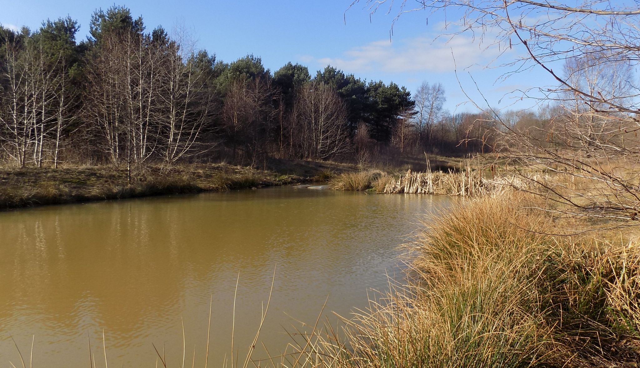 Lochan in
Brownsburn Community Park
|
 Monkland Bridge over
North Calder Water
|
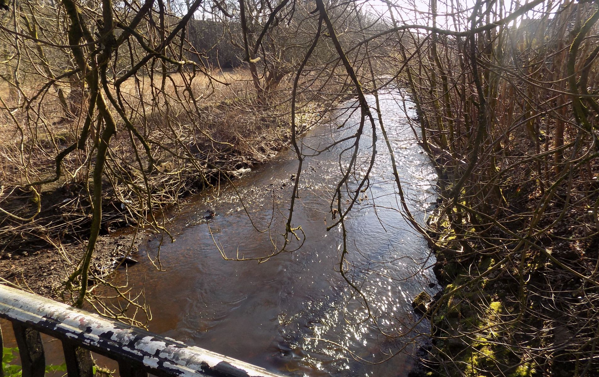 North Calder Water
at Monkland Bridge
|
 |
Glencoe | Ben Nevis | Knoydart | Isle of Skye | Isle of Arran | The West Highland Way
The Eastern Highlands | The Central Highlands | The Southern Highlands | The NW Highlands