  |
The Scottish HighlandsSchiehallion
|
  |
| |
The Scottish HighlandsSchiehallion
|
|
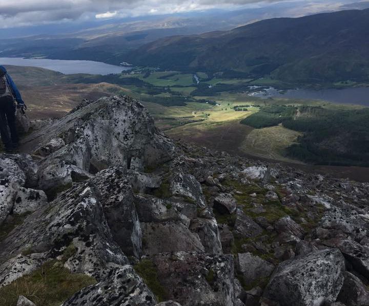
 NW
Ridge of Schiehallion
|
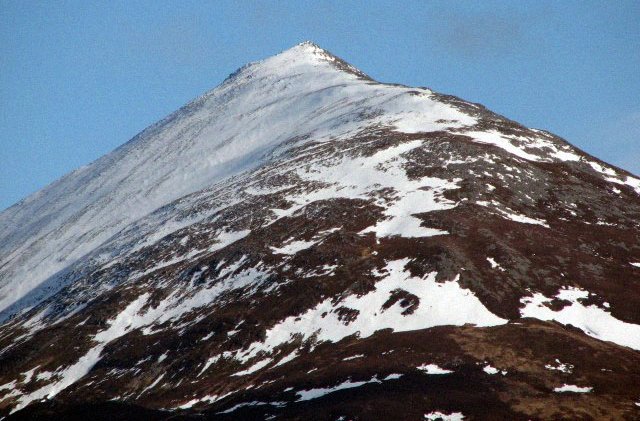
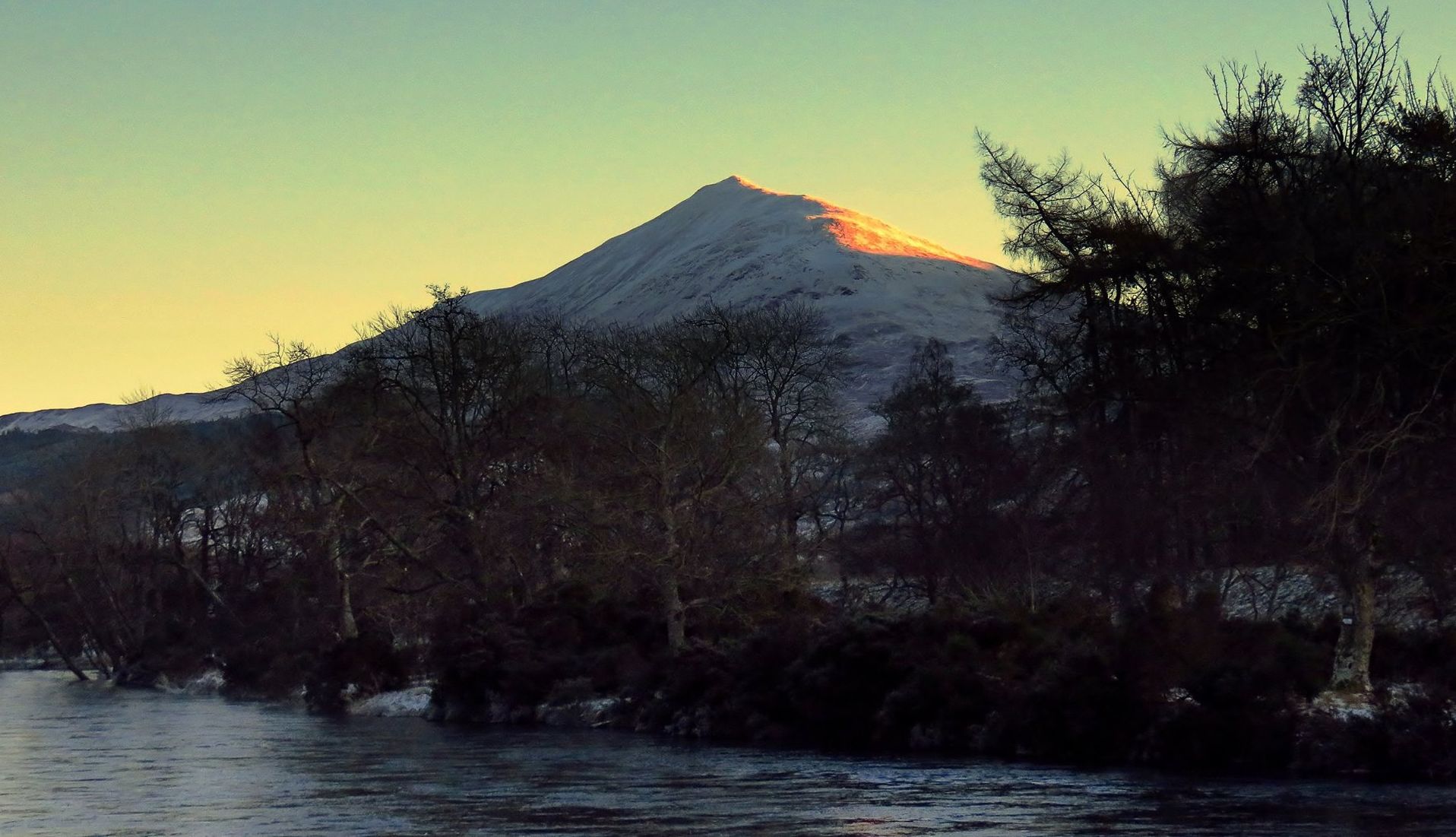
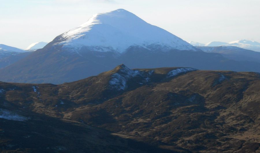 Schiehallion
from Farragon Hill
|
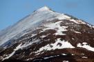
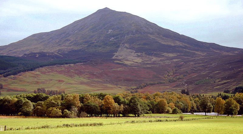 Schiehallion
( 3547ft, 1083m )
Schiehallion lies between Loch Tay
and Loch Tummel some 10 miles north of Aberfeldy. The
mountain is an isolated one and has an almost perfectly conical shape as viewed from the west. Schiehallion
is sometimes
described
as the centre of Scotland. |
 Schiehallion |
 Schiehallion from
starting point
for ascent at Braes of Foss. |
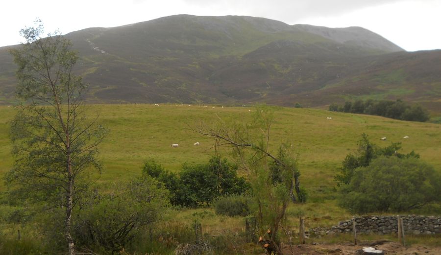
 Schiehallion
above Loch Rannoch
on ascent of Beinn a' Chuallaich |
 Beinn a'
Chuallaich
from Schiehallion |
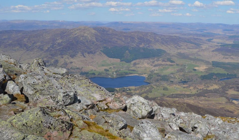
 View
from Schiehallion
|
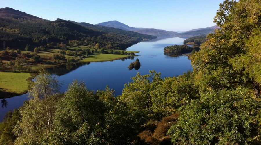
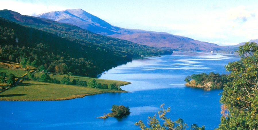 Queen's
View
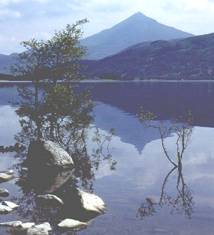
- Loch Tummel and Schiehallion The Queen's View attracts many visitors to the shores of Loch Tummel. |
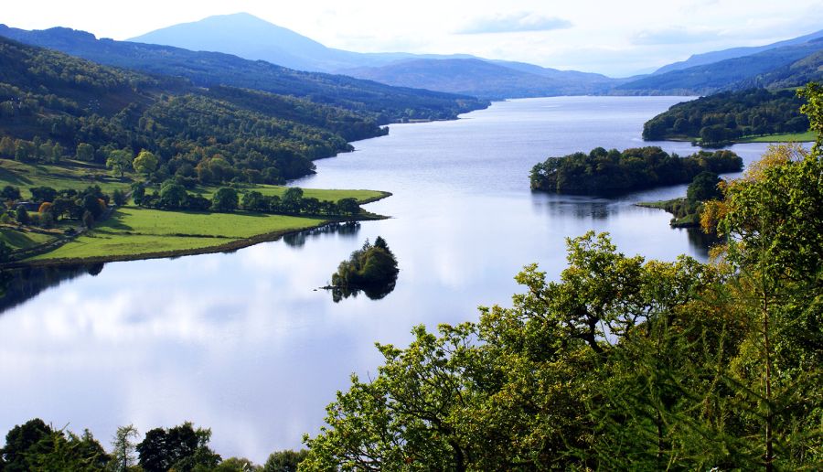 Queen's
View
- Loch Tummel and Schiehallion |
 Queen's
View
- Loch Tummel and Schiehallion |
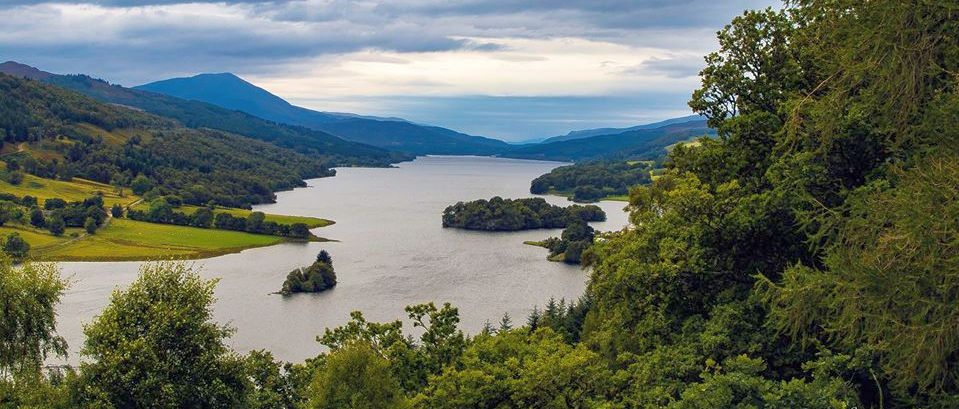 Queen's
View
- Loch Tummel and Schiehallion |
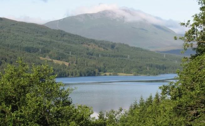
 Loch
Tummel
and Schiehallion |
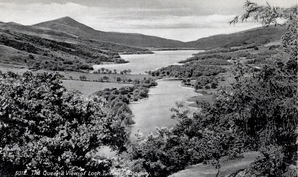 Queen's
View
- Loch Tummel and Schiehallion - old postcard |
 Loch
Ericht
and Schiehallion |
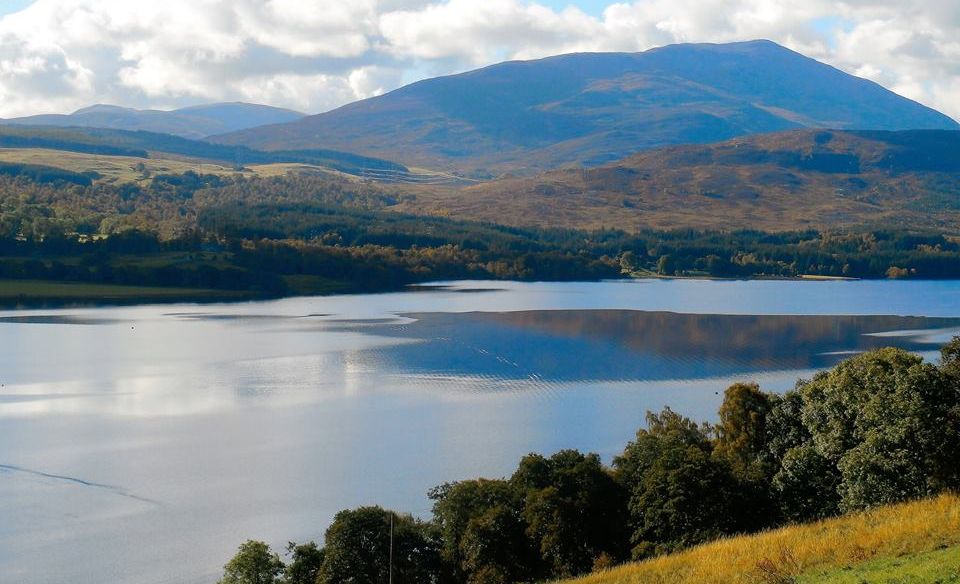
 Loch
Tummel
and Schiehallion |
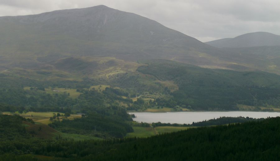
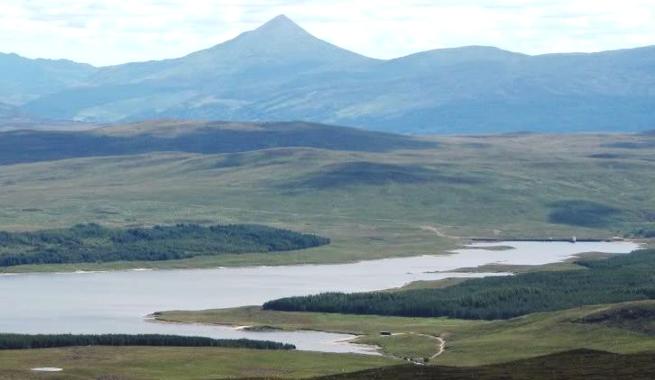
 Loch
Rannoch and
Schiehallion
|
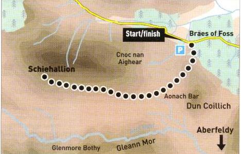
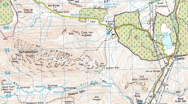 Map
and access route for
Schiehallion
|
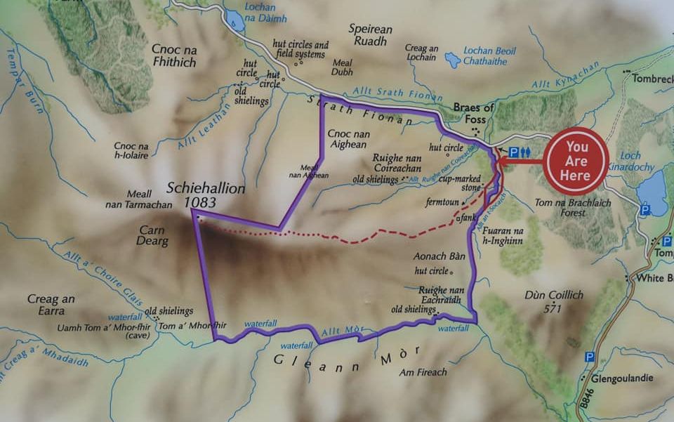
 Route
Map
for Schiehallion
|
 Map
and access route for
Schiehallion
|
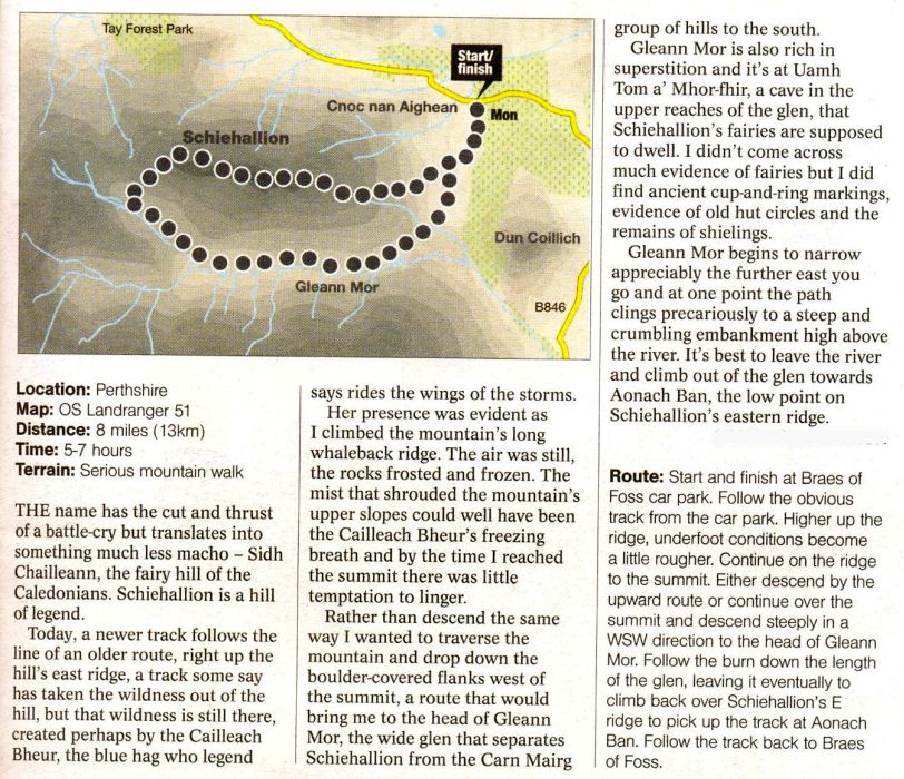 Map
and access route description
for Schiehallion
|