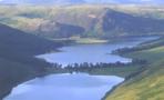

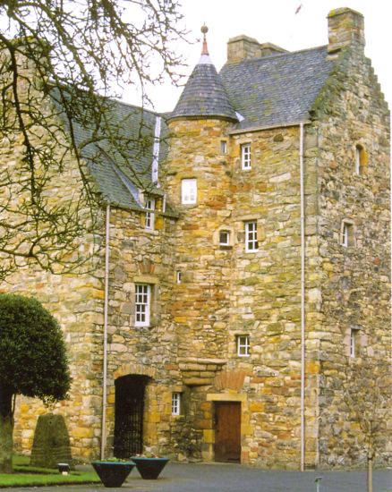
 Neidpath
Castle in the Scottish Borders
|
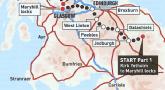
Day 1) Kirk Yetholm to Jedburgh
From Kirk Yetholm follow the signs for St. Cuthbert's Way to the B6401 and on to Crookededshaws Hill. Continue through Morebattle and past Cessford Castle to Cessford Moor. Cross Oxnam Water and climb to Dere Street ( old Roman Road ). Follow signs for the Borders Abbeys Way into Jedburgh.
 |
 |
 House of Mary Queen of Scots in Jedburgh |
 Map of Jedburgh |
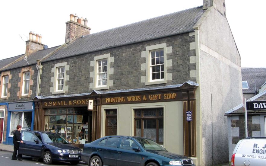
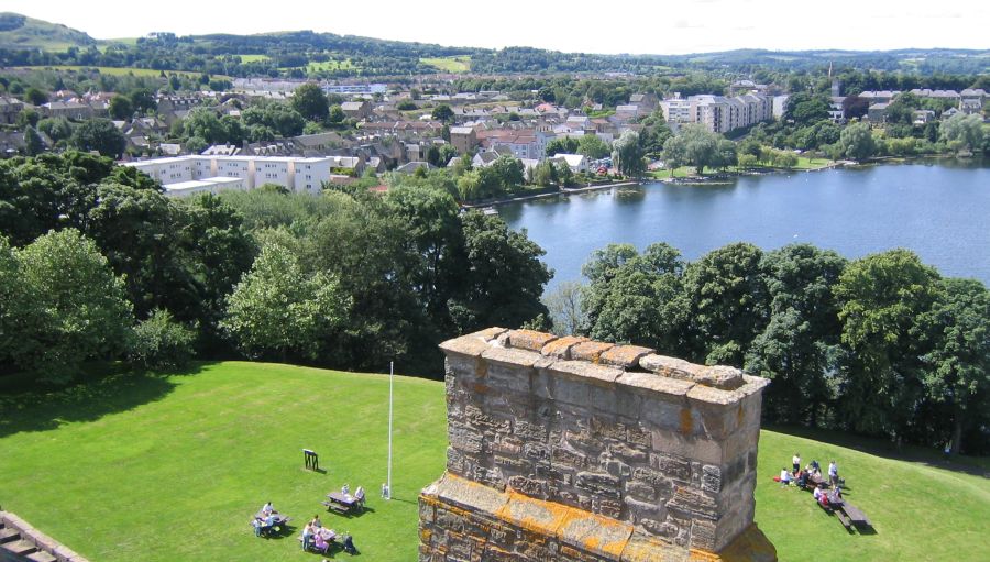
Day 2) Jedburgh to St.Boswells
 Dere Street ( Old Roman Road ) at Maxton |
Day 3) St.Boswells to Galashiels
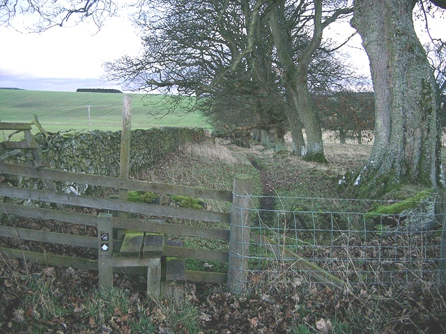
 Bank Street in Galashiels |
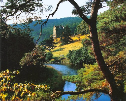
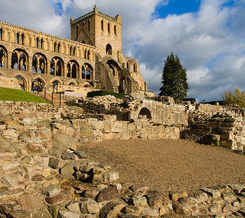
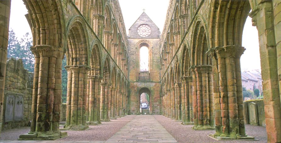
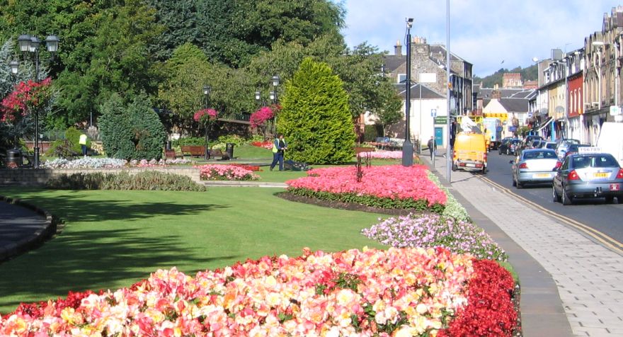
 Dryburgh Abbey |
Day 4) Galashiels to Innerleithen
 Innerleithen |
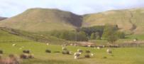
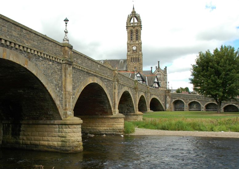
Day 5) Innerleithen to Peebles
Head west along Innerleithen High Street before turning north and climbing Lee Pen ( 502m ). Continue NW along the ridge over Black Knowe and Black Law ( 538m, trig point ). After Black Law head down through Glentress Forest past Cardie Hill to reach the A72. Cross over to reach path alongside the River Tweed and continue into Peebles.
 |
Day 6) Peebles to West Linton
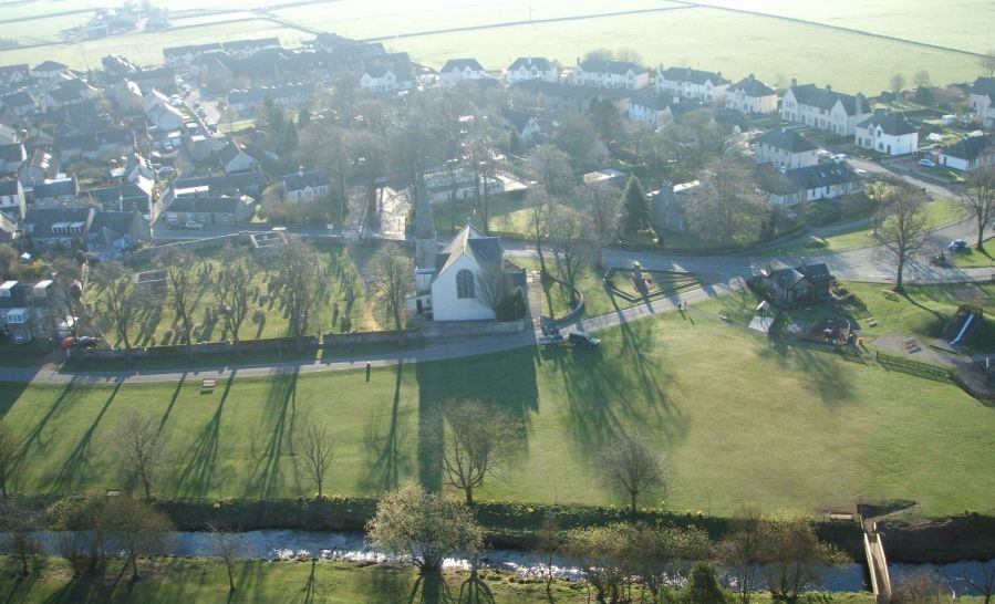 Aerial
view of West Linton
|
Day 7) West Linton to Broxburn
Take the minor road out of West Linton towards Baddinsgill Farm. Follow the signposted path over Cauldstane Slap pass and down to the A70. Turn right and walk along A70 for about 1km and turn left into Leyden Road. Continue to the end of the road. Turn left on to National Cycle Route 75 and follow it across the A71 and on into Almondell Country Park. Walk through park over Naismith's Bridge and past the Visitor Centre to the park exit. Head north on the minor road to reach the Union Canal. Turn left and follow the canal northwards ro reach Broxburn.
 Greendykes
Road in Broxburn
|
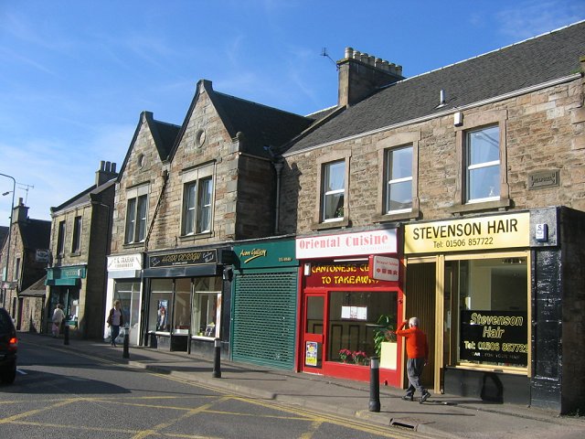
Day 8) Broxburn to Linlithgow
 Linlithgow Town from the Palace |
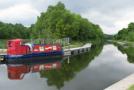
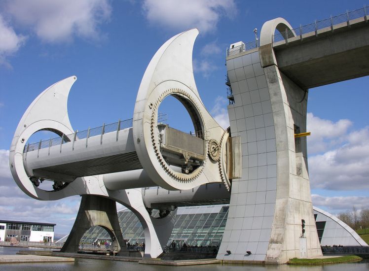
Day 9) Linlithgow to Falkirk ( The Falkirk Wheel )
 |
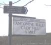
From Falkirk to Kilsyth the route follows the walkway alongside the Forth & Clyde Canal
This parallels the Antonine Wall which may be viewed at several locations.
 |
Day 11) Kilsyth to Glasgow ( Maryhill Locks )
Day 12) Maryhill Locks to Milngavie
Southern Highlands :: Central Highlands :: NW Highlands :: Eastern Highlands