
 Thumbnail
Gallery )
Thumbnail
Gallery )
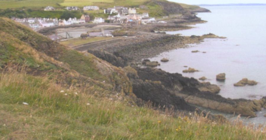 Portpatrick
 is a village amid steep cliffs on the extreme south-westerly tip of mainland Scotland. Built next to the ruins of Dunskey Castle, the position of Portpatrick on the Rhins of Galloway offers views of the Northern Irish coast from clifftop walks and beaches. The Gulf Stream gives a pleasant climate enabling subtropical plantlife to flourish. Originally
a fishing village the harbour remains the focal point of the village. |
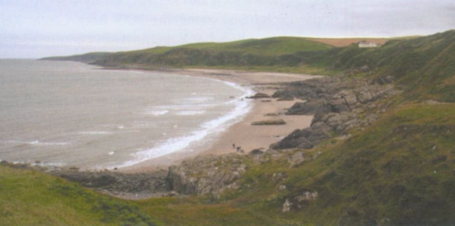 Knock Bay |
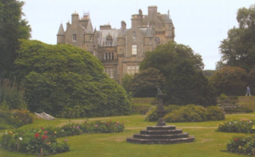 Castle Kennedy |
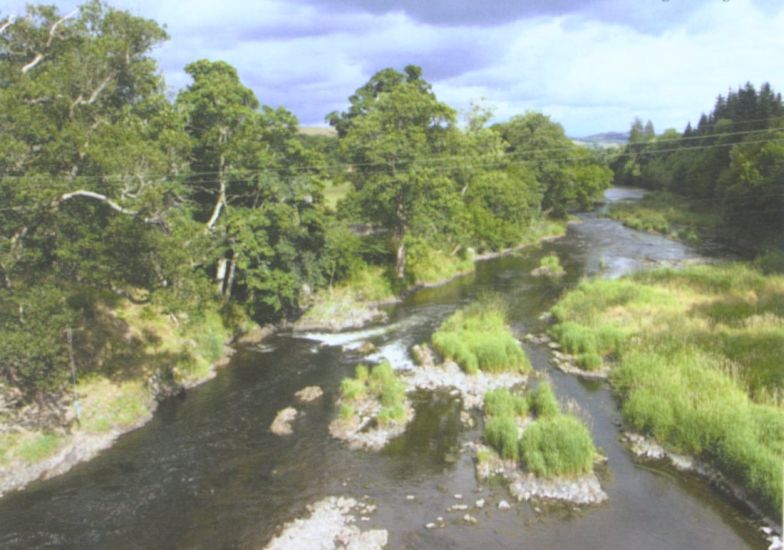 River Tweed The
Tweed is one of the great
salmon rivers of Great Britain. |
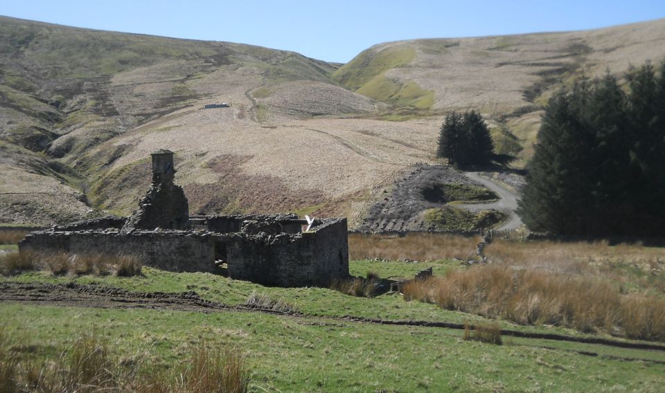
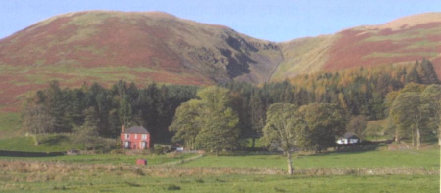
Ruined Cottage at Cogshead
|
 Wanlockhead from Stood Hill |
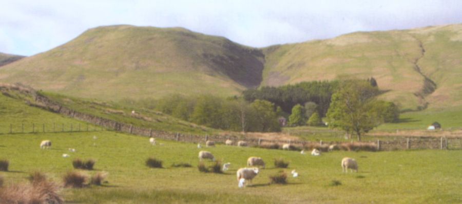
 Devil's Beef Tub The Devil's Beef Tub is
a dramatic hollow
in the hills north of Moffat. The name derives from its use by the Border Reivers to hide stolen cattle. The 500ft ( 150m ) deep hollow is formed by four hills:- Great Hill, Peat Knowe, Annanhead Hill, and Ericstane Hill. It is one of the two main sources of the River Annan. |
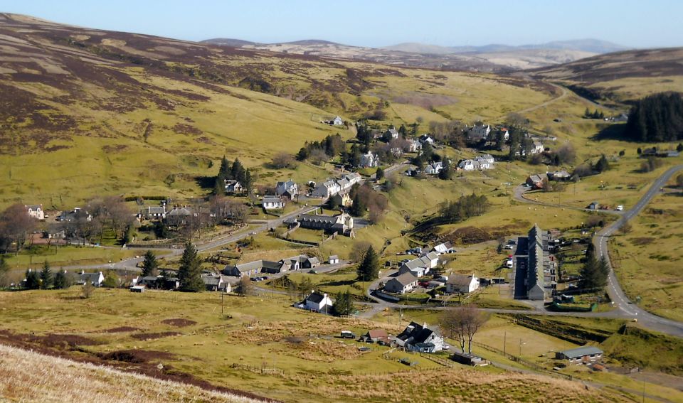
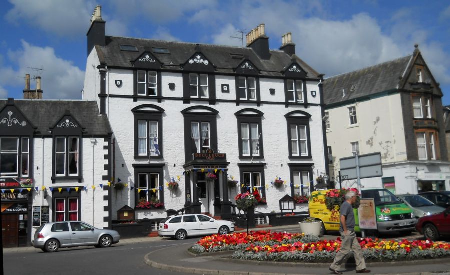 The
Town of Moffat
|
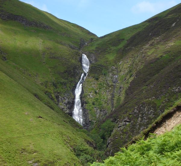 The "Grey Mare's Tail"
Waterfall
beneath White Coomb near Moffat Grey Mare's Tail is a 60 metre ( 200ft ) hanging-valley waterfall. |
 Great Hill ( 1527ft, 465m ) |
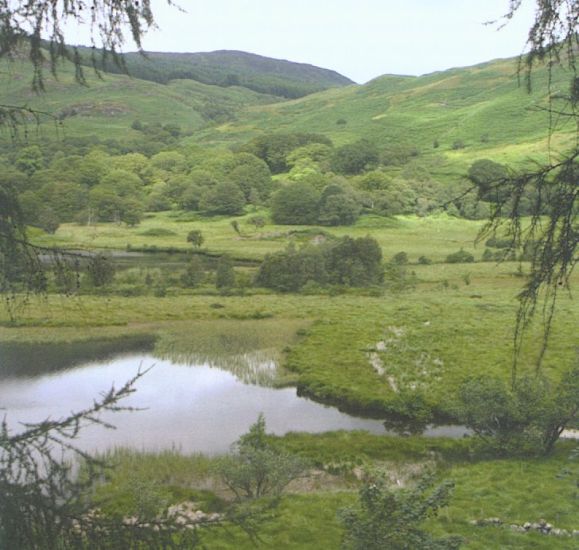 Loch Trool
in the Galloway Hills |
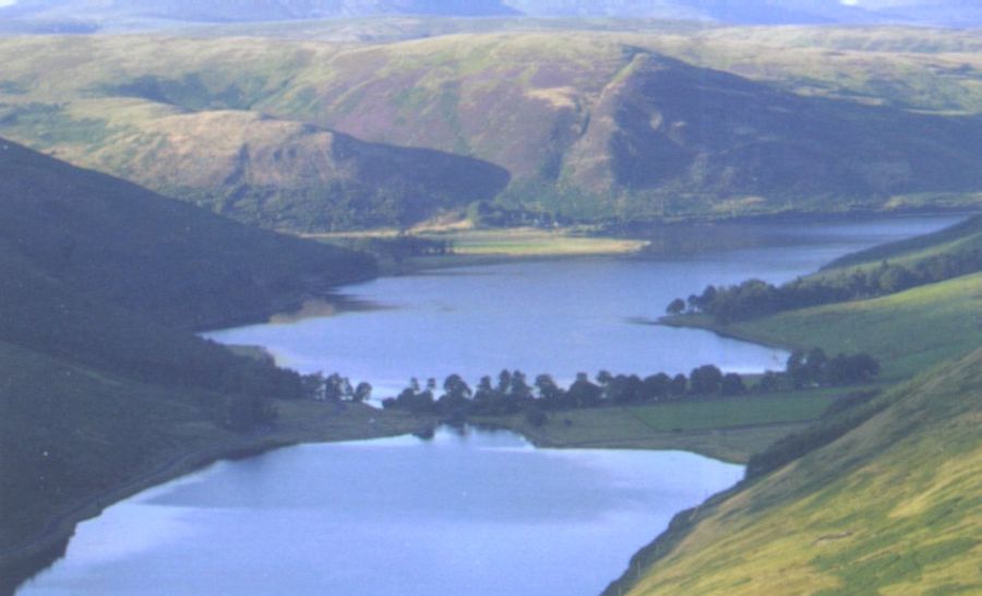 St. Mary's Loch St
Mary's Loch is the largest natural
loch
in the Borders Region of Scotland. It lies some 72km ( 45 miles ) south of Edinburgh between Selkirk and Moffat in the valley of the Yarrow Water. |
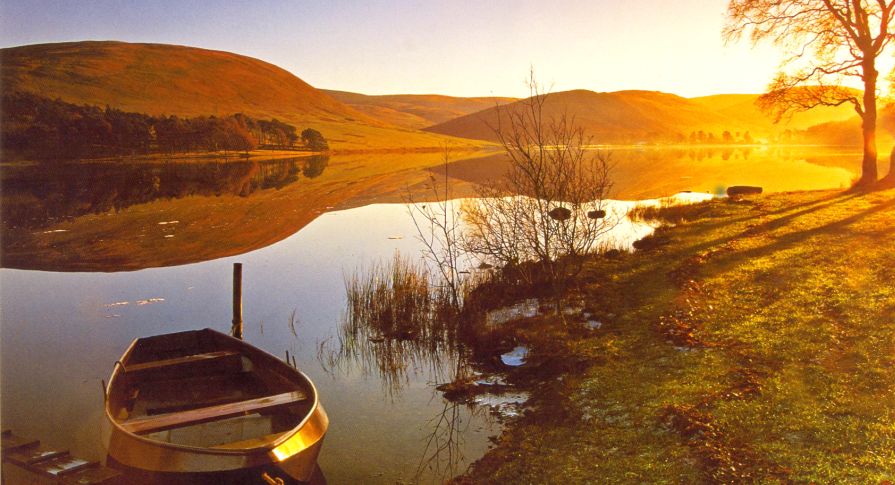 St. Mary's Loch |
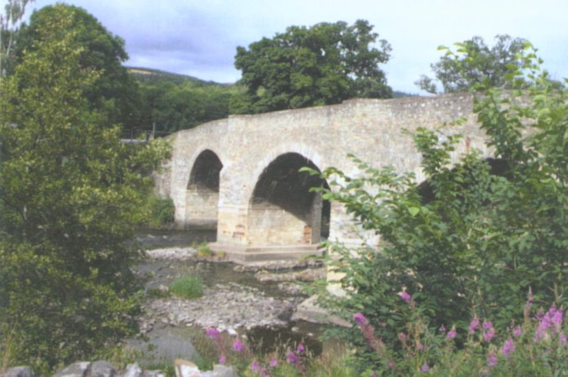 Yair Bridge |
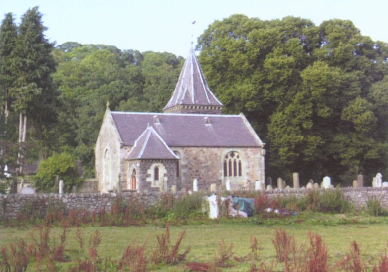 Abbey Church at Abbey
St.Bathans
|
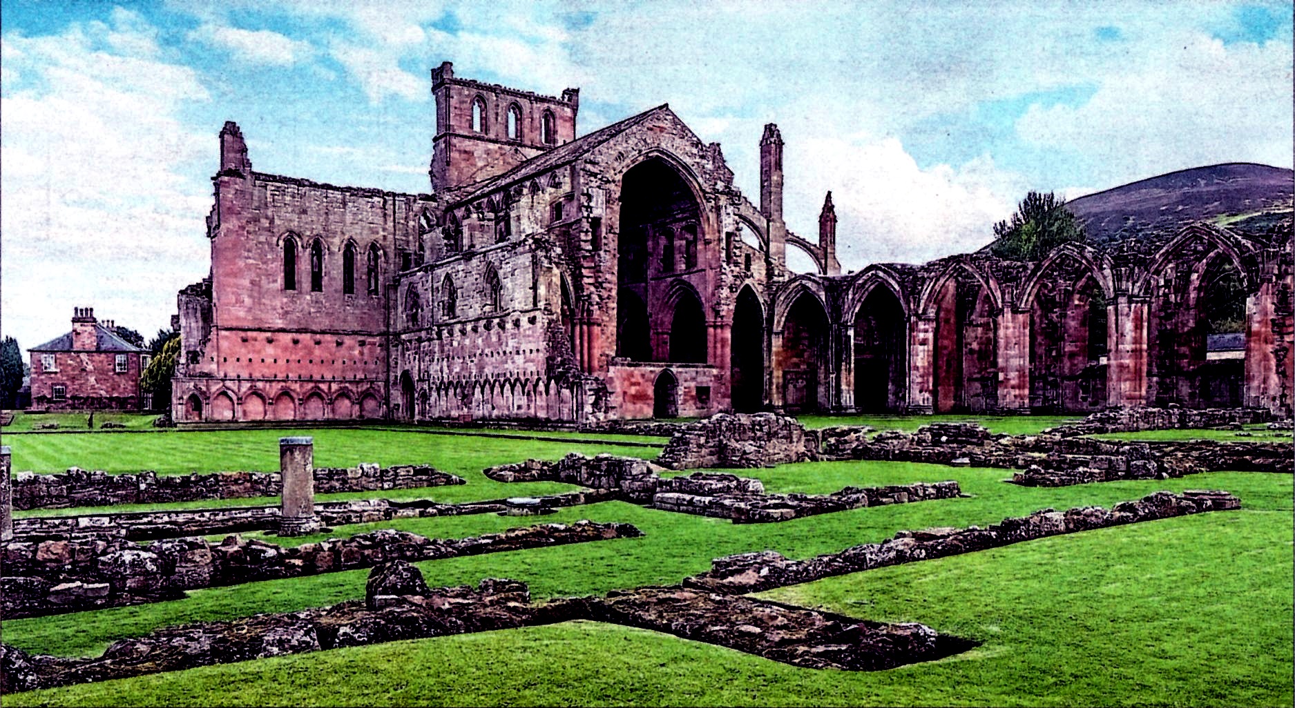 Melrose Abbey |
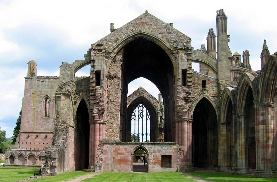 Melrose Abbey |
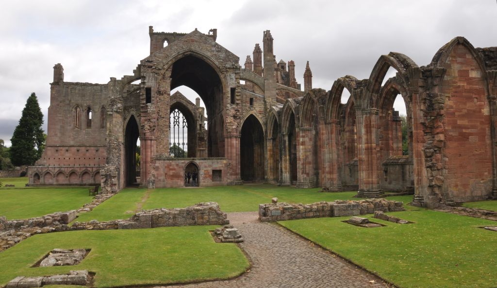 Melrose Abbey |
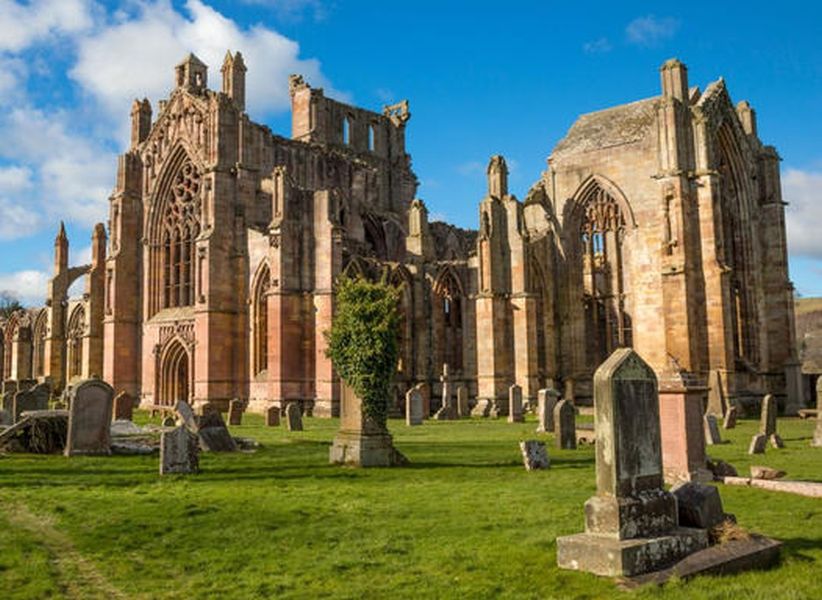 Melrose Abbey |
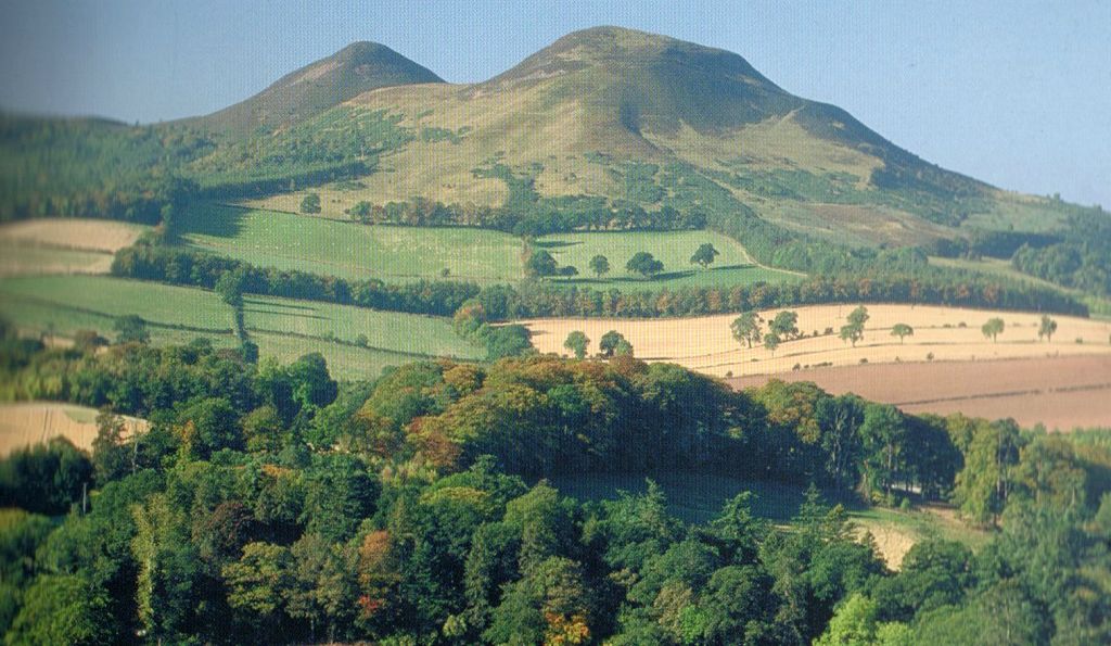 Eildon Hills - Scott's View |
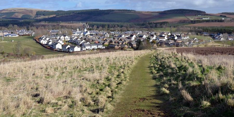
Approach to Lauder
|
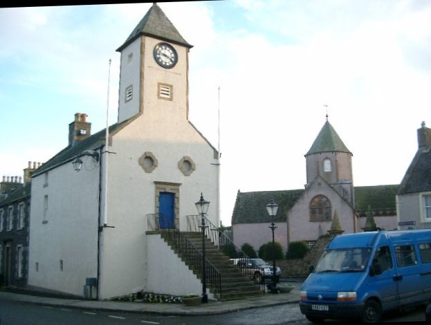 Tolbooth in Lauder
|
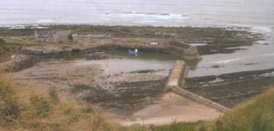
Cove Harbour near
Cockburnspath
Cockburnspath is
a
village
near the North Sea coast between Berwick-upon-Tweed and Edinburgh. It is at the eastern extremity of the Southern Upland Way. |
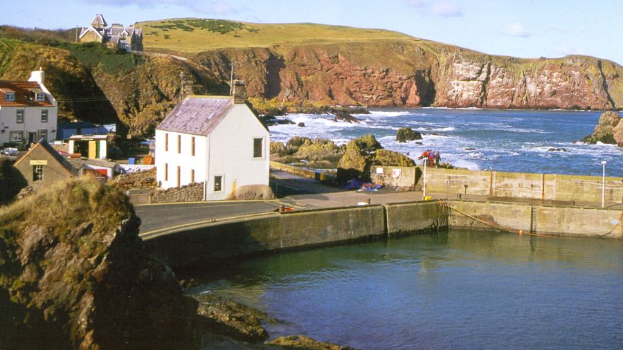 Harbour at St. Abbs St. Abbs is a small fishing village on the southeast coast of Berwickshire in Scotland. The village was originally known as Coldingham Shore but the name was changed to St. Abbs. The new name derived from St Abb's Head - a rocky promontory ( named after St. Aebbe ) north of the village. |
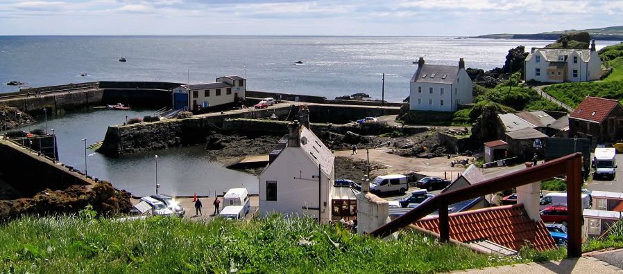 St. Abbs fishing village on the coast of Berwickshire |
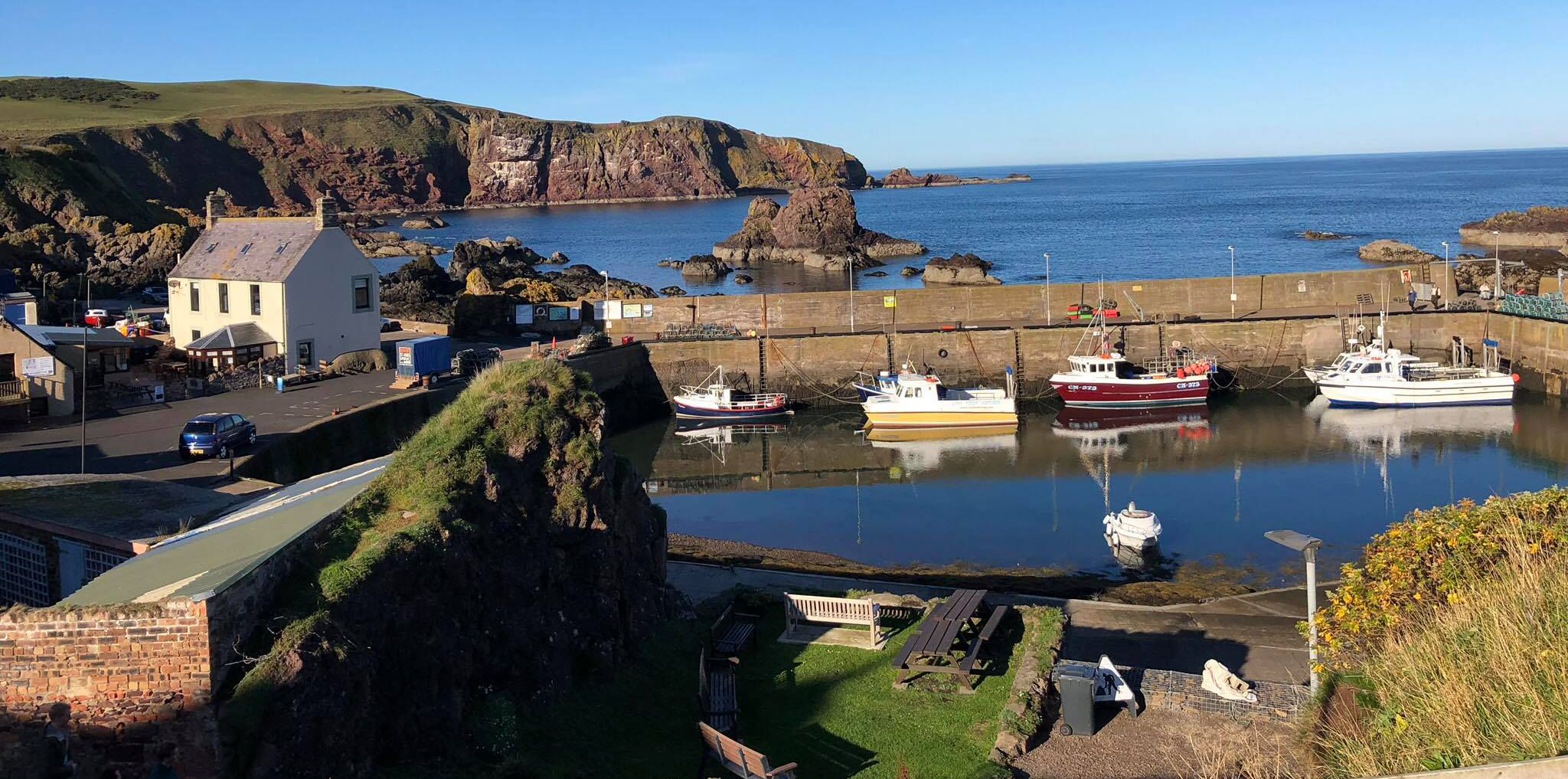 St. Abbs fishing village on the coast of Berwickshire |
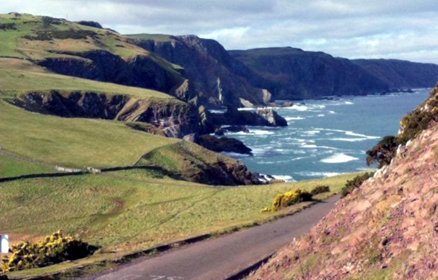
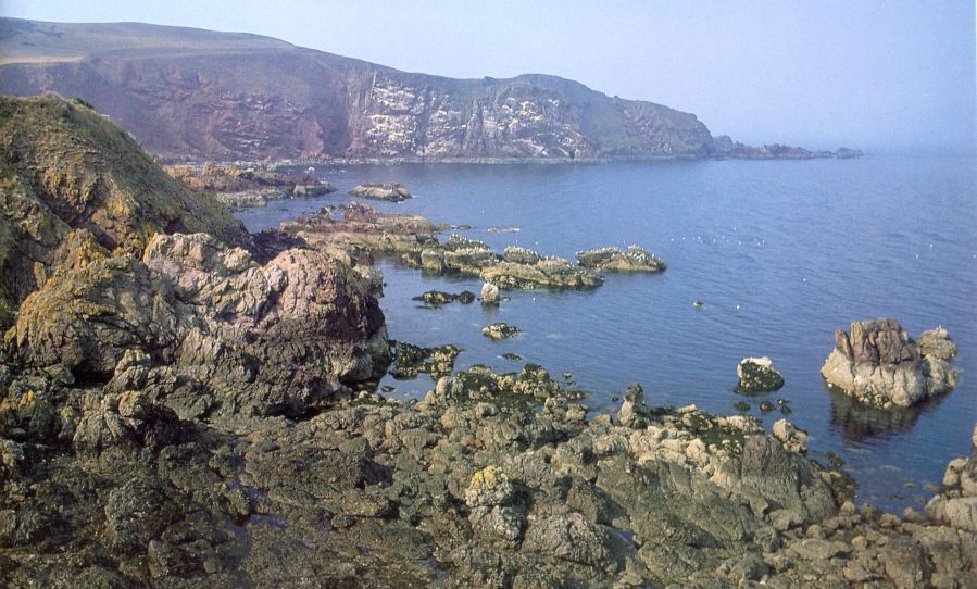 St. Abbs Head on the coast of
Berwickshire
|
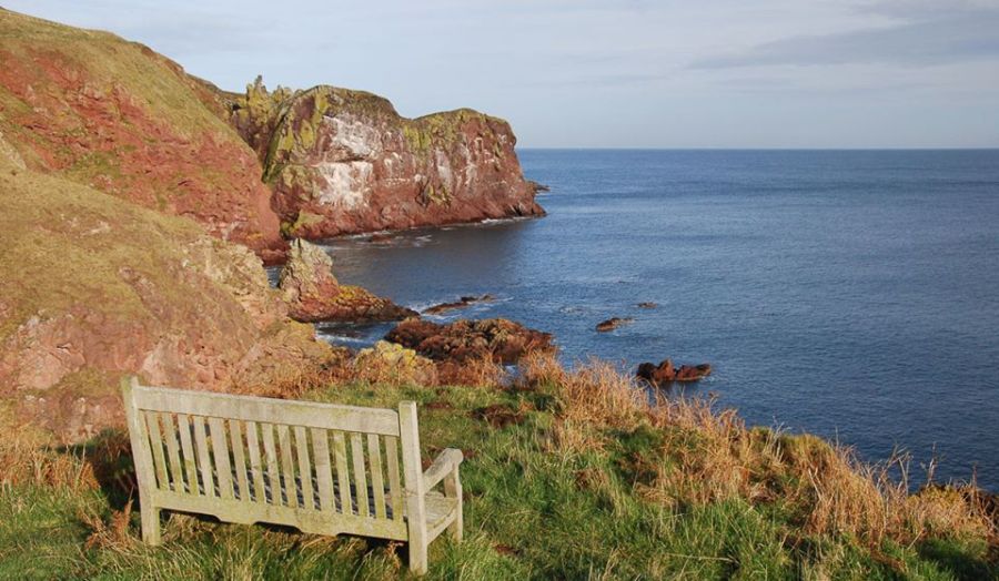 St. Abbs Head on the coast of
Berwickshire
|
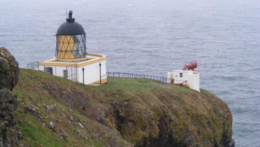 Lighthouse at St. Abbs Head on the coast of Berwickshire
|
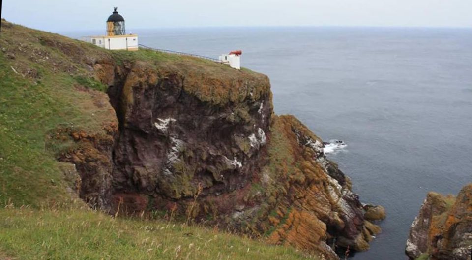 Lighthouse at St. Abbs Head on the coast of Berwickshire
|
 St. Abbs Head on the coast of
Berwickshire
|
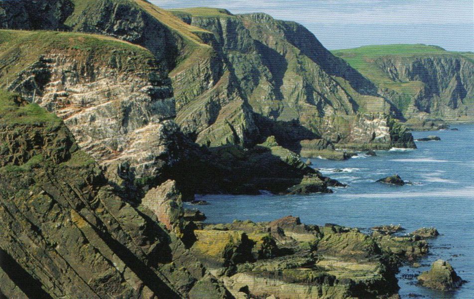 St. Abbs Head on the coast of
Berwickshire
|
Ben Nevis | Glencoe | Knoydart | Isle of Skye | Isle of Arran | The West Highland Way
The Eastern Highlands | The Central Highlands | The Southern Highlands | The NW Highlands
Southern Highlands :: Central Highlands :: NW Highlands :: Eastern Highlands