
 |
 |
 |
 |
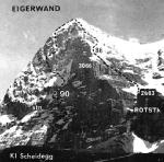
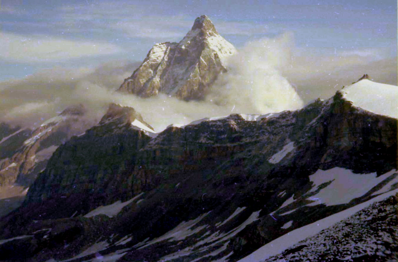
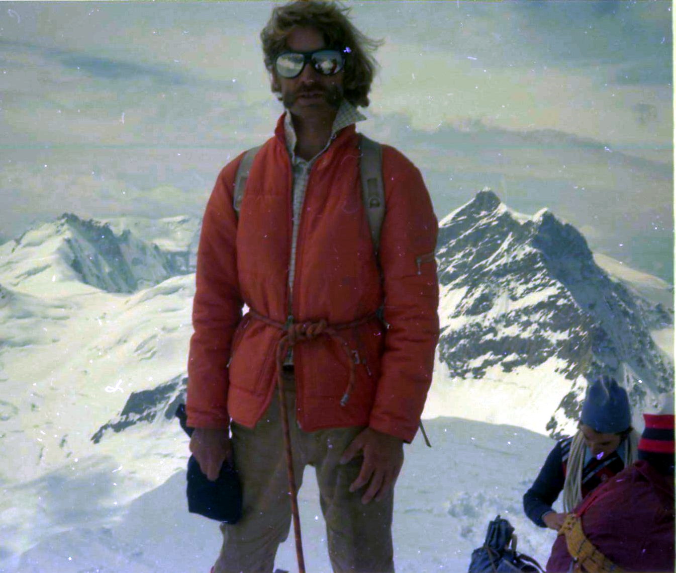
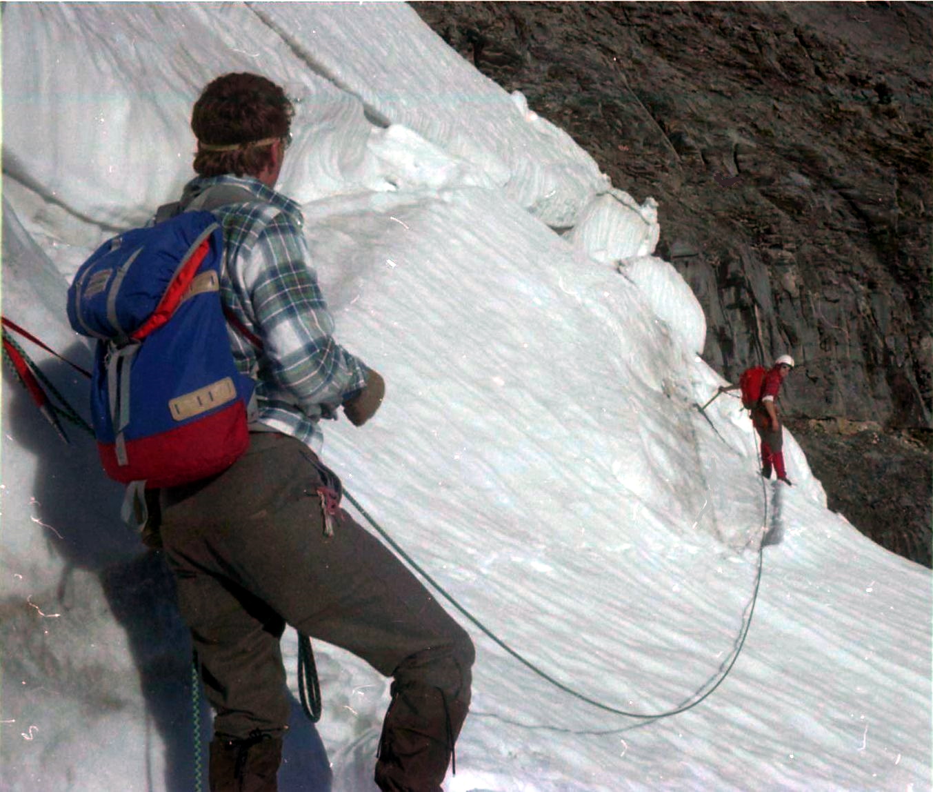
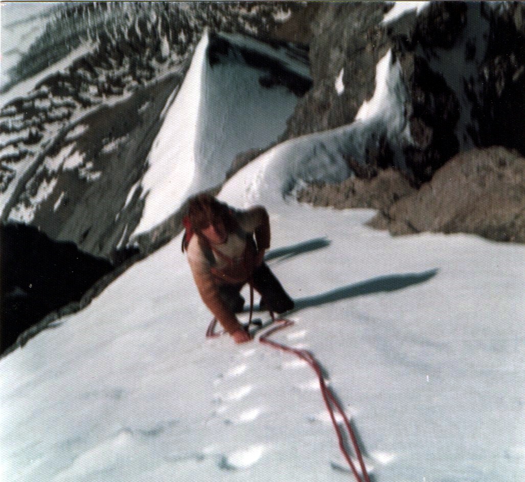
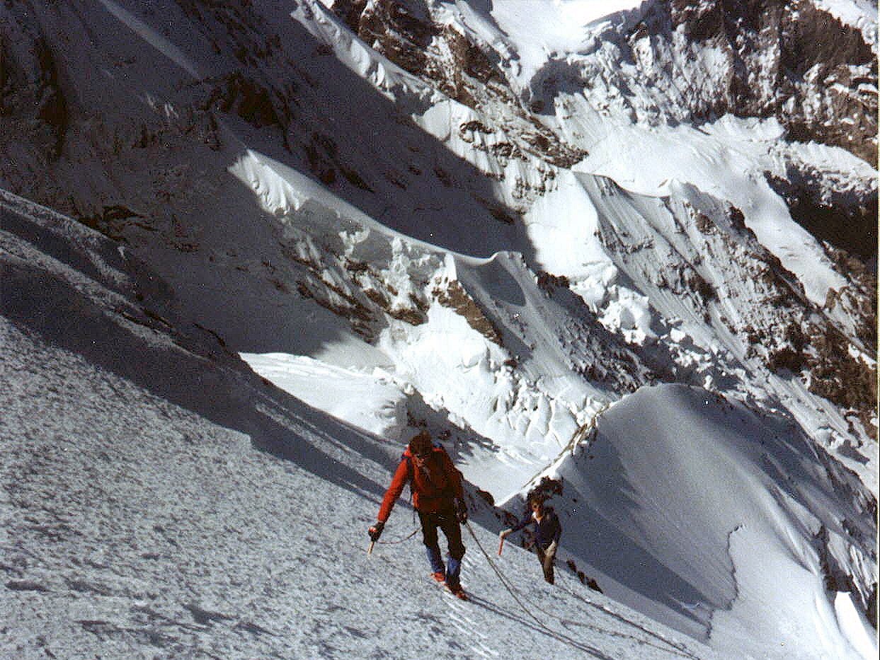 On ascent of
the Eiger
|
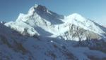
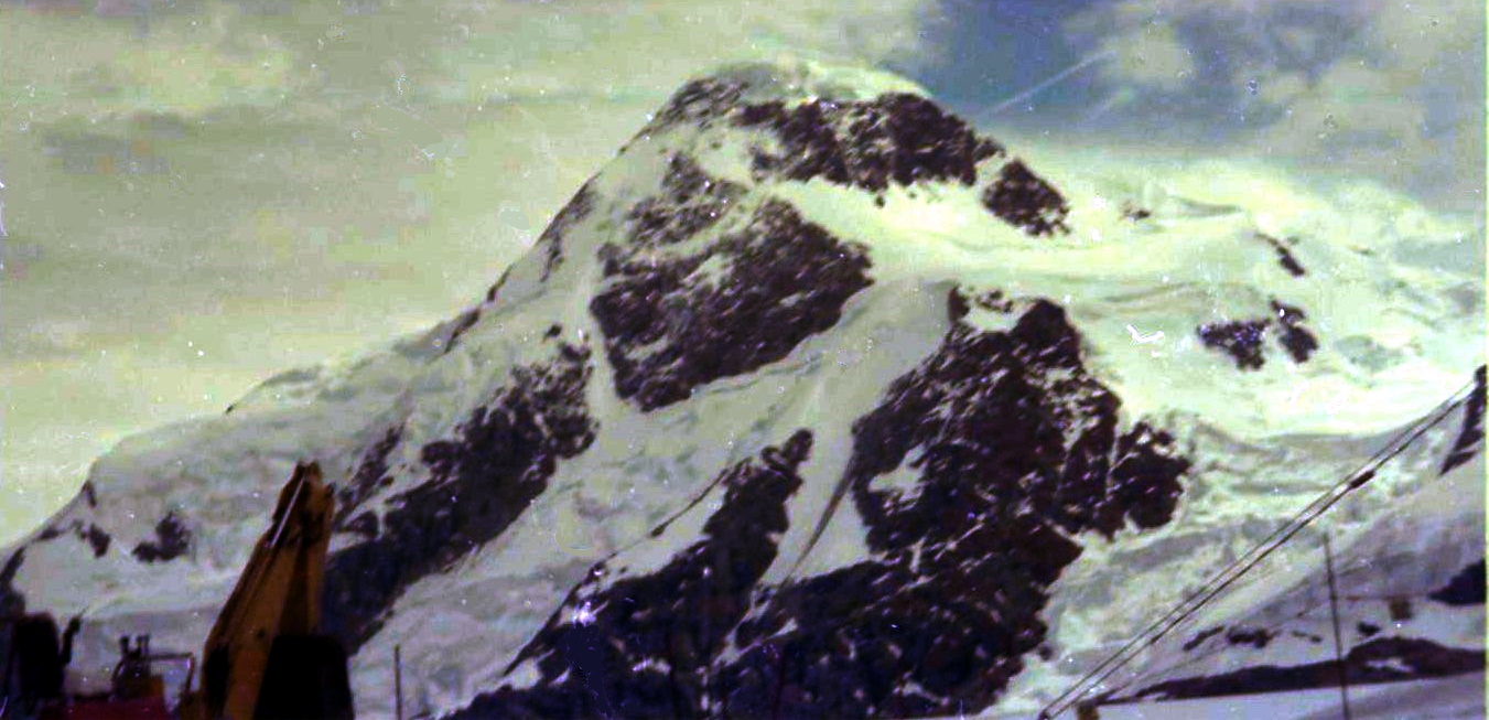
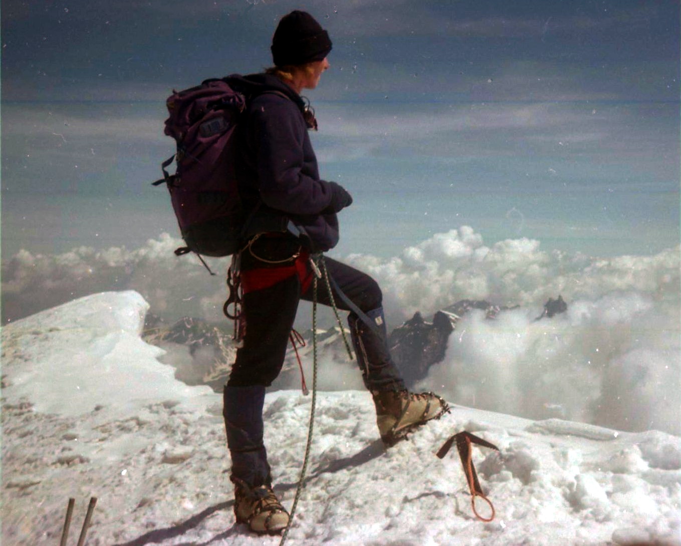
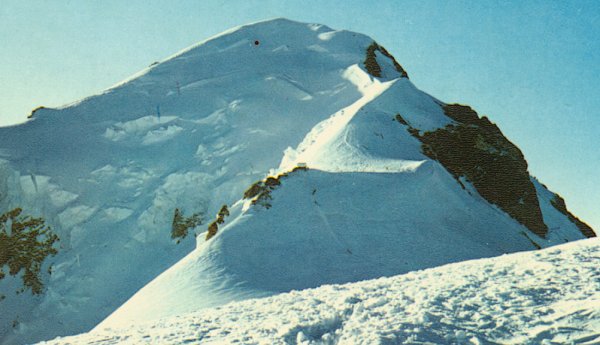 Normal route of
ascent on Mont Blanc
|
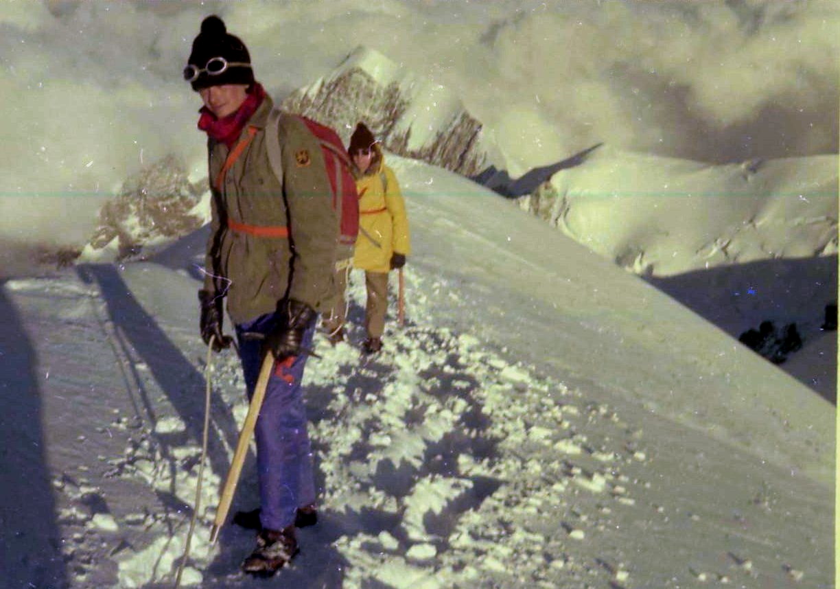
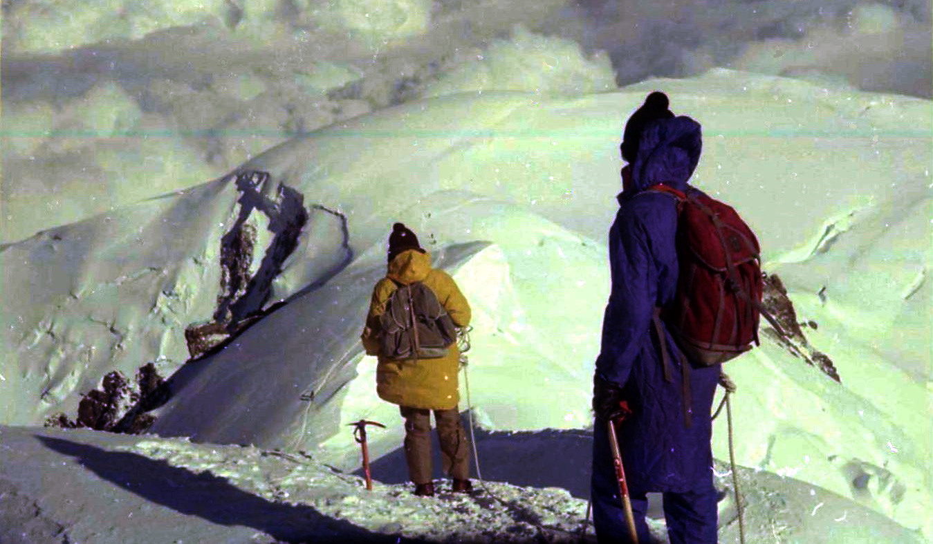
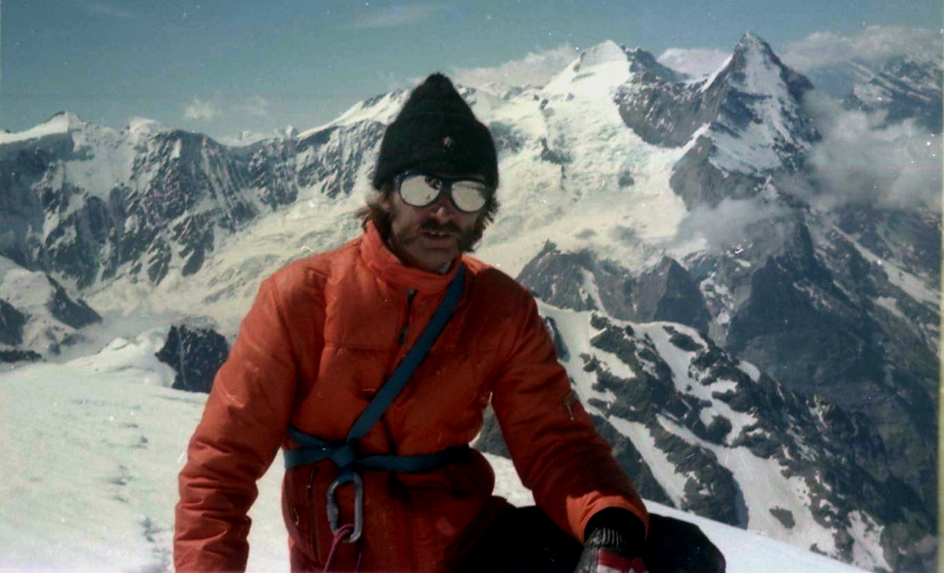
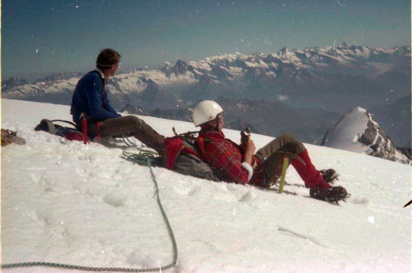
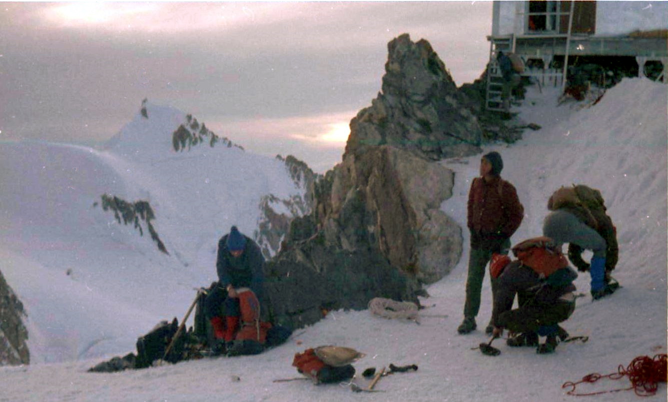 On ascent
of Mont Blanc
|
 |
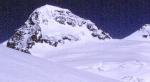
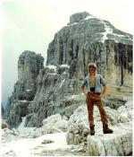
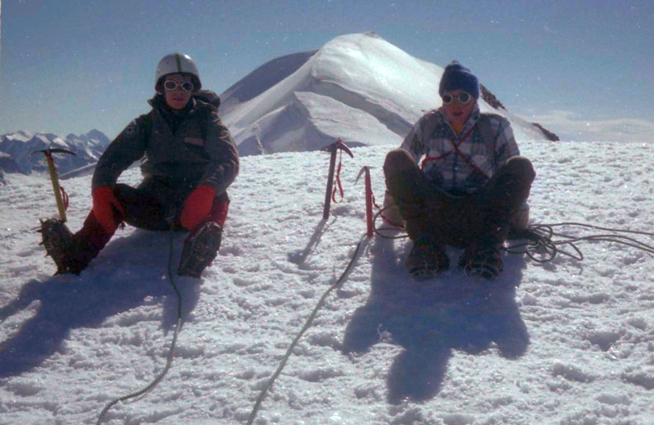
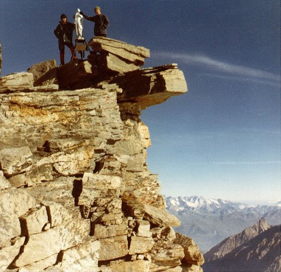
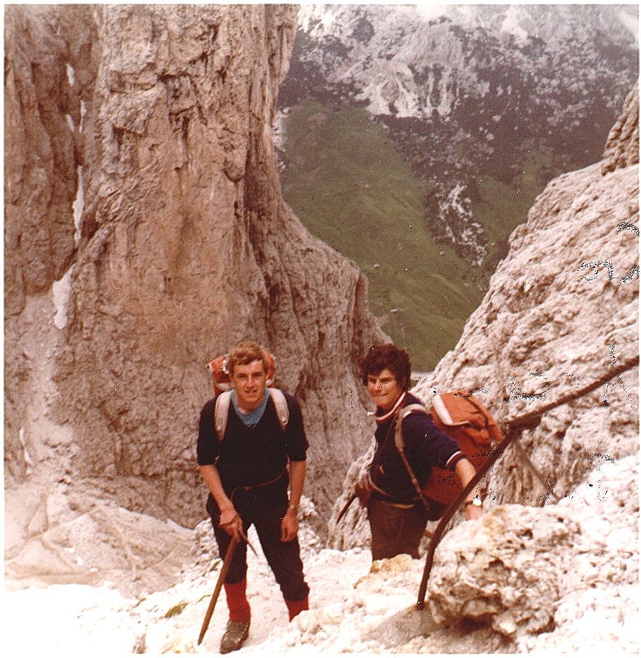 On ascent
of Piz Boe
|
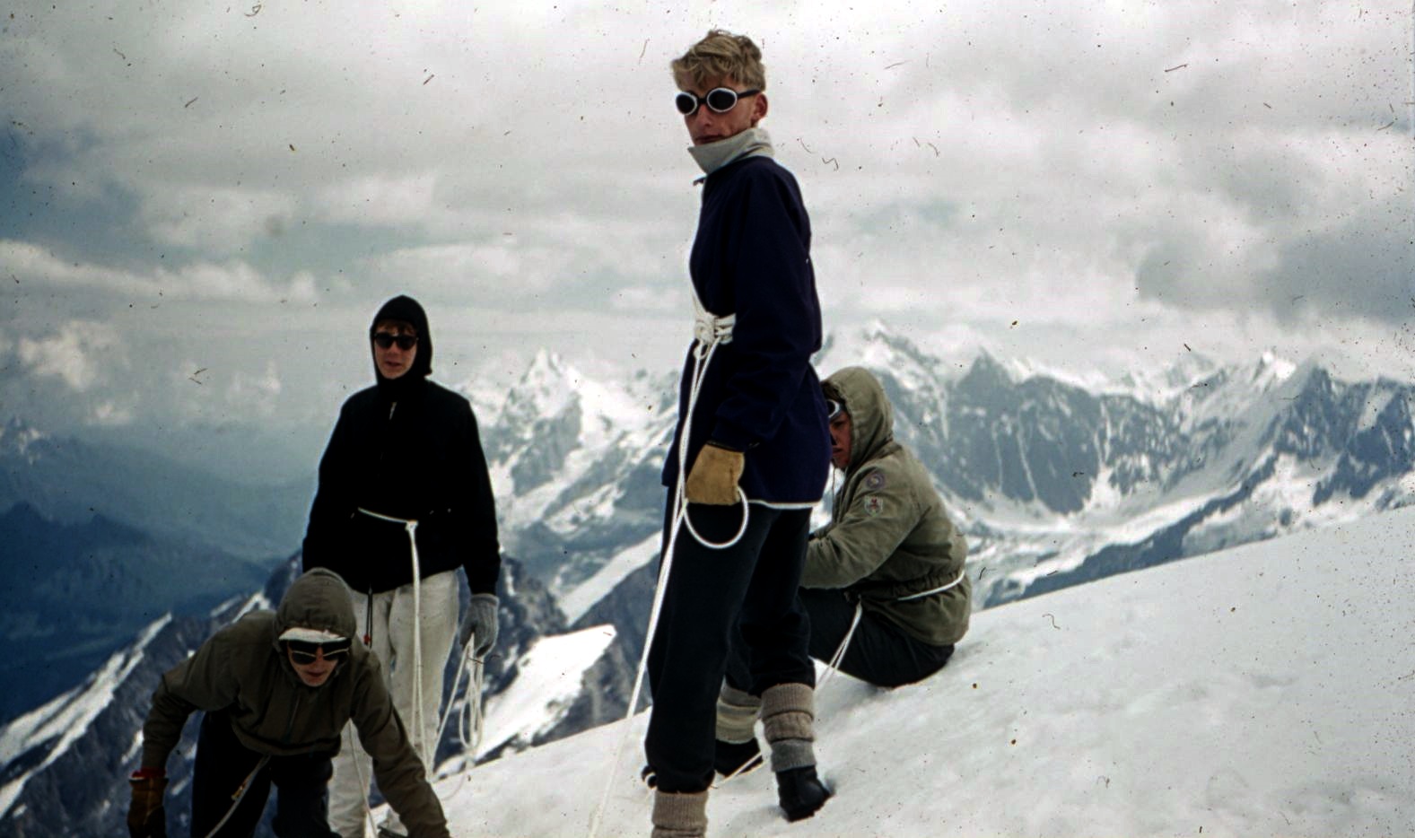
 On
traverse of Stubai Alps
|
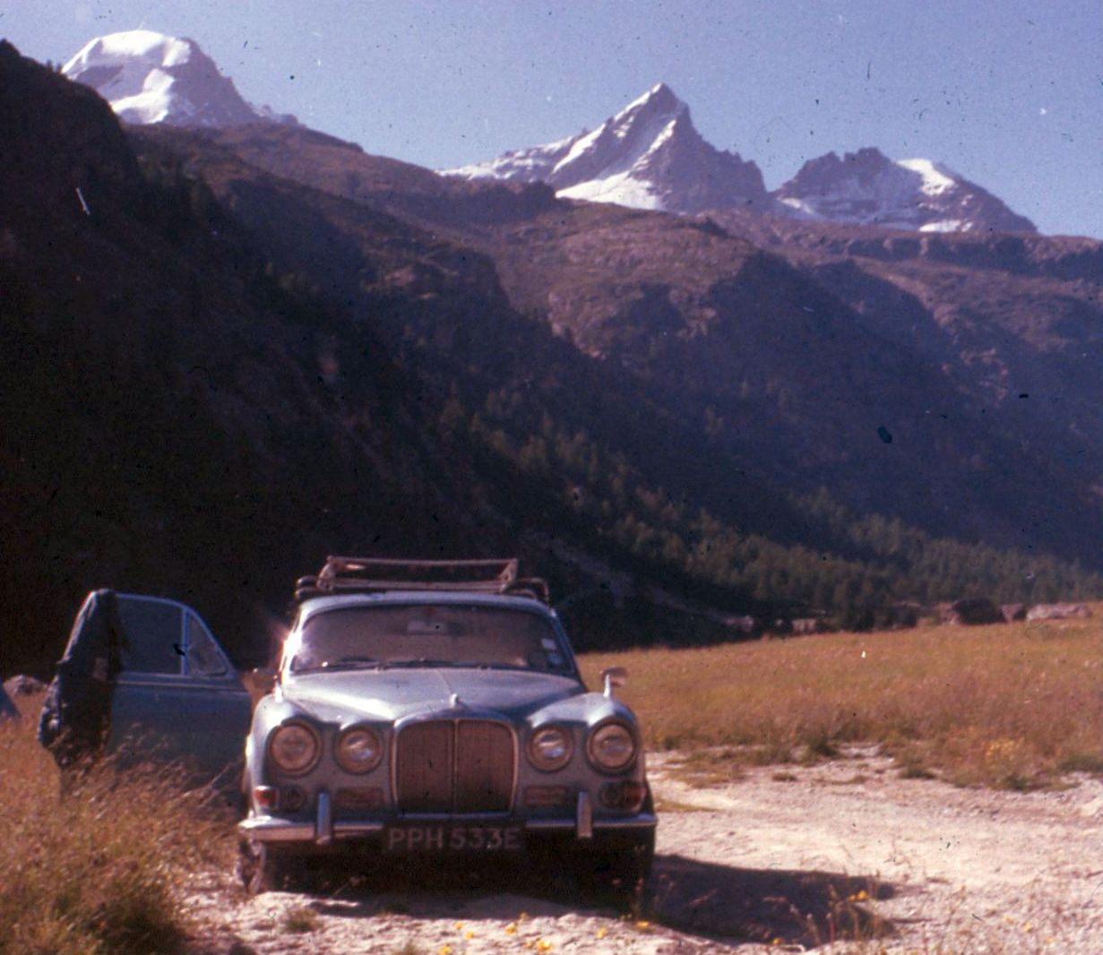
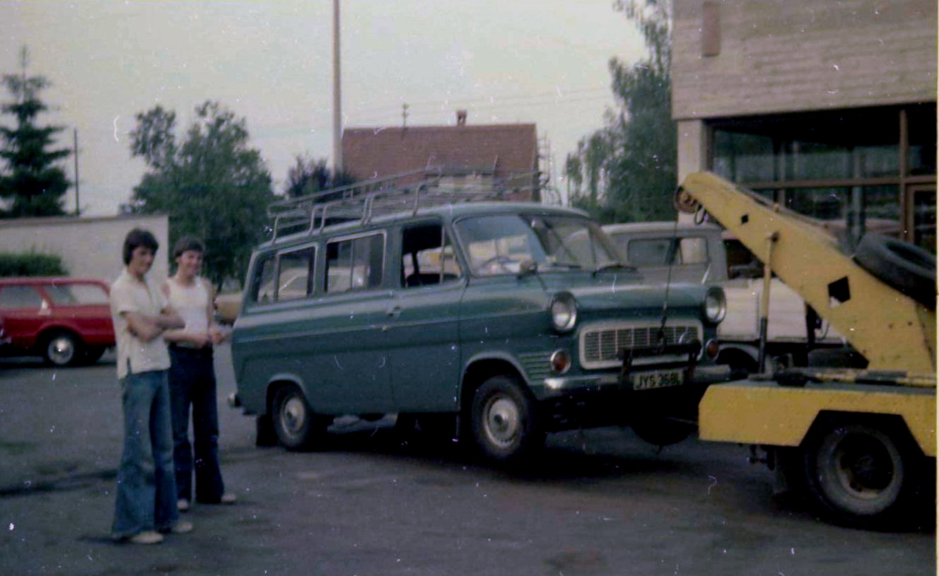 Ford Transit Beakdown
|
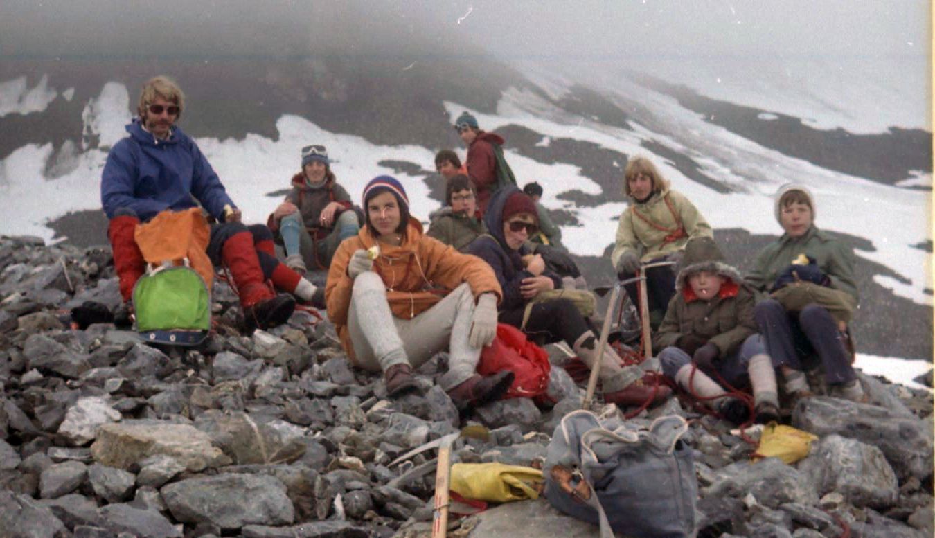
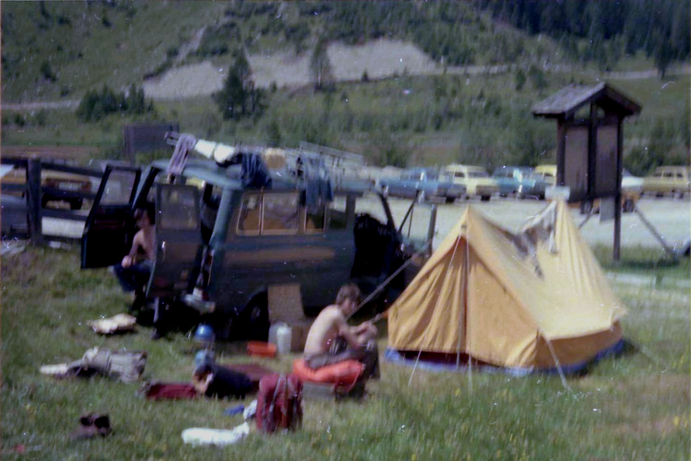 Camp
|
 |
 |
 |
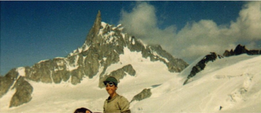
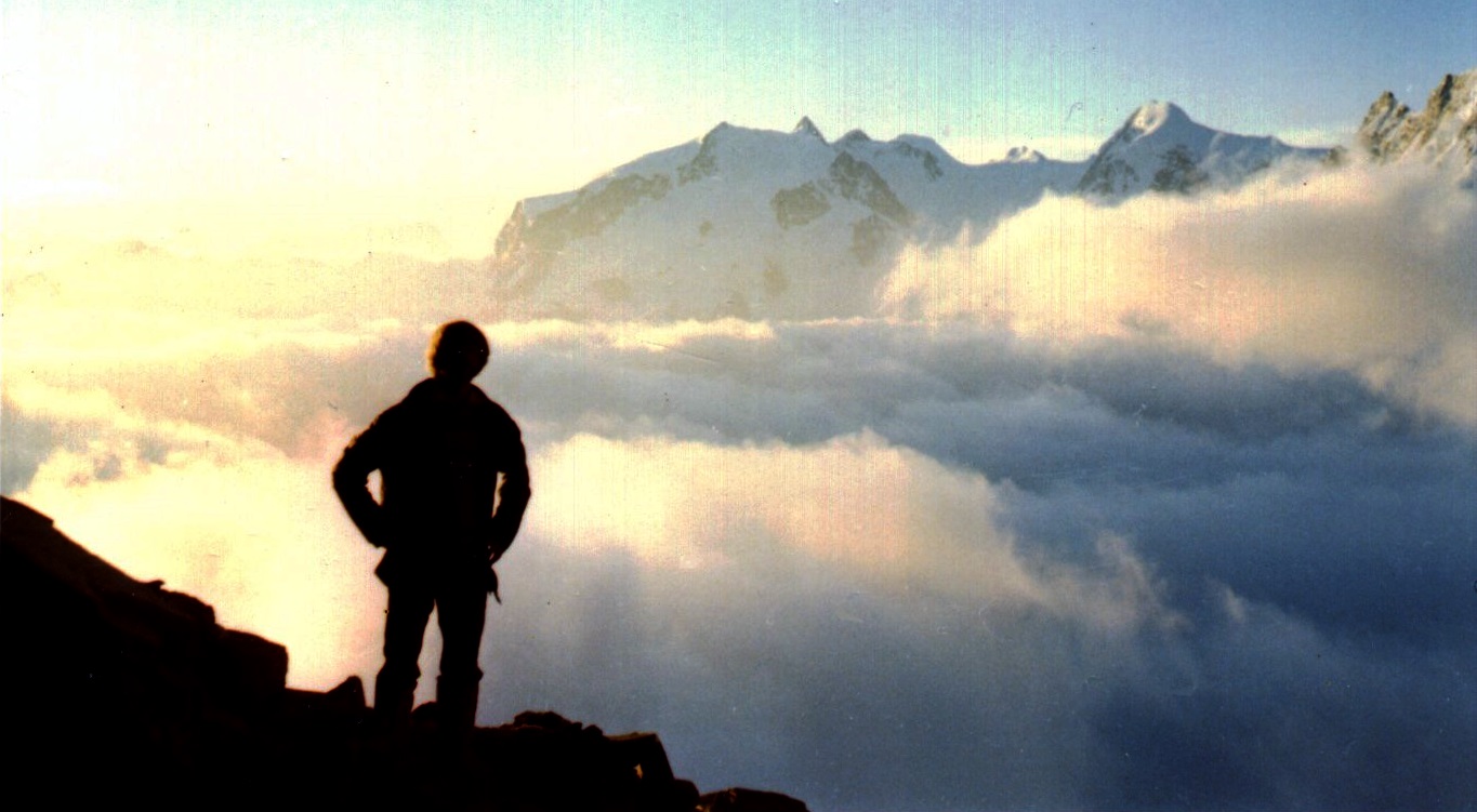
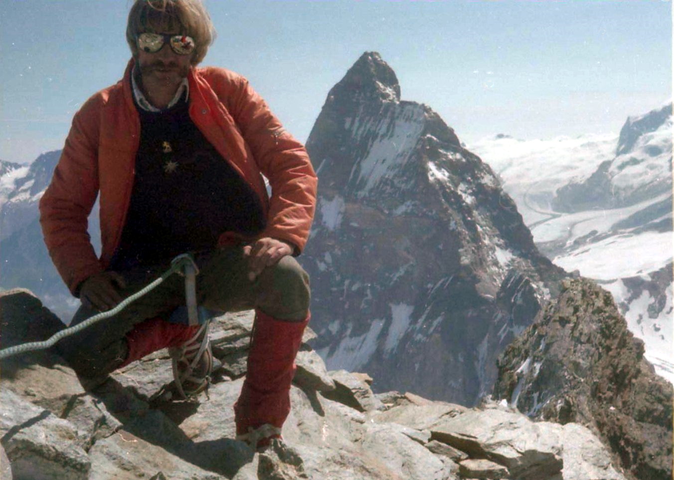
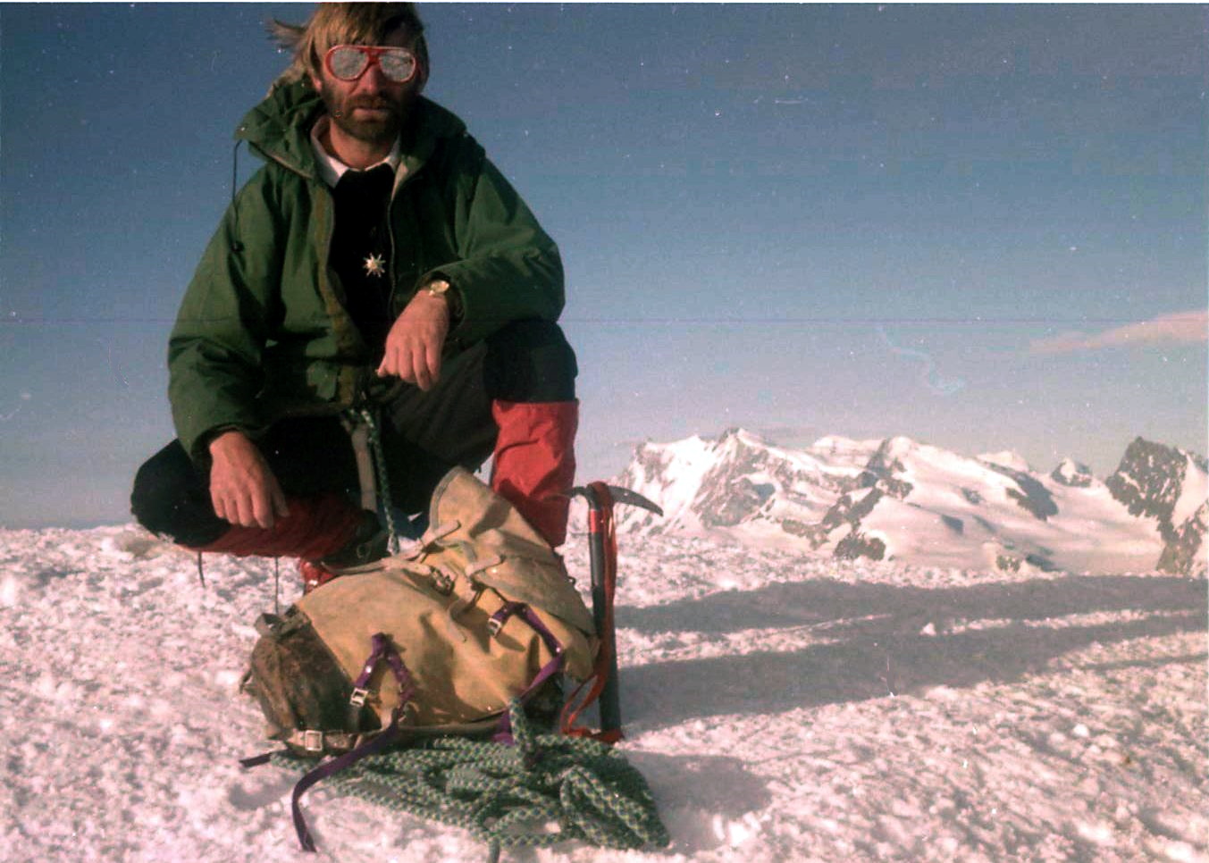
 On Mont
Blanc
|
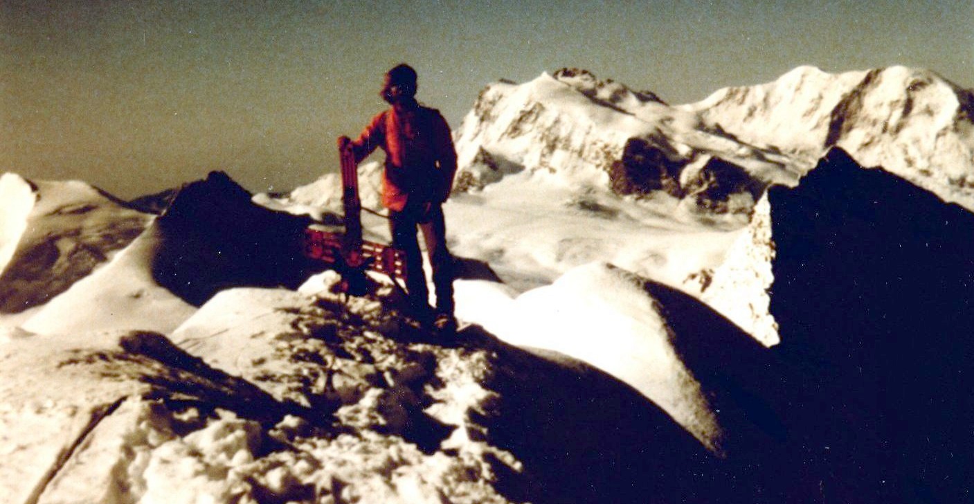
 On Mont
Blanc
|
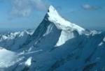
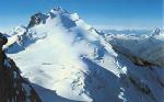
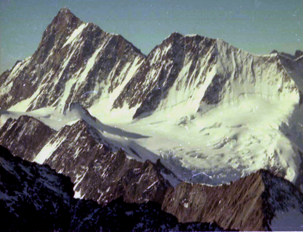
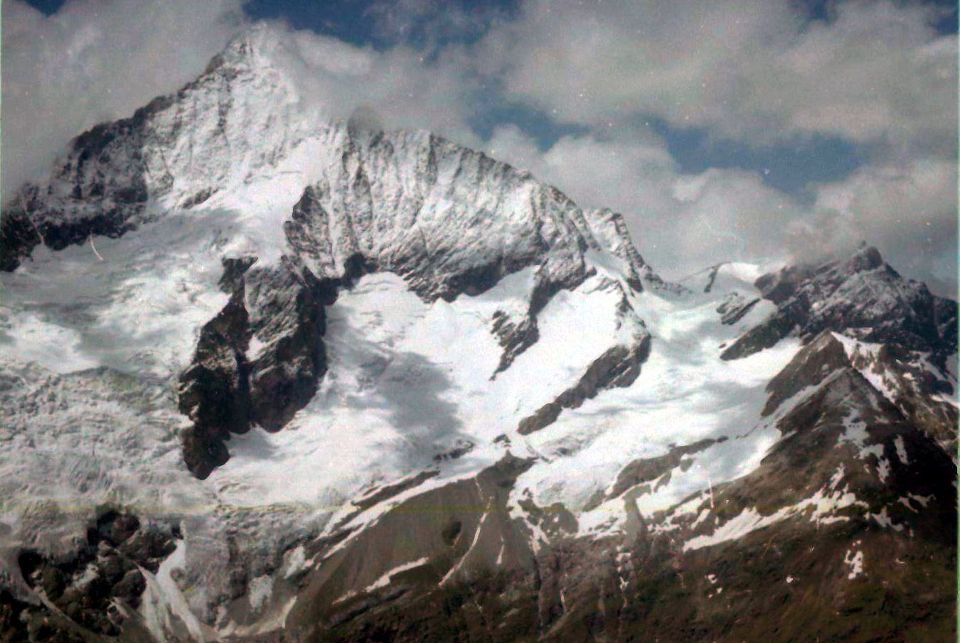
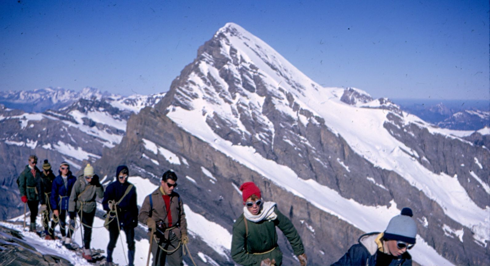
 Jungfrau
from Monch
|
 |
 |
 On the
Balmhorn
|
 On
Lauterbrunnen Breithorn
|
 On Weisshorn
|
 |
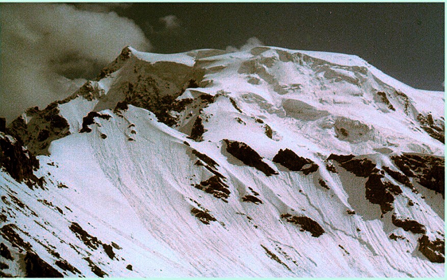
 Wildstrubel
|
 |
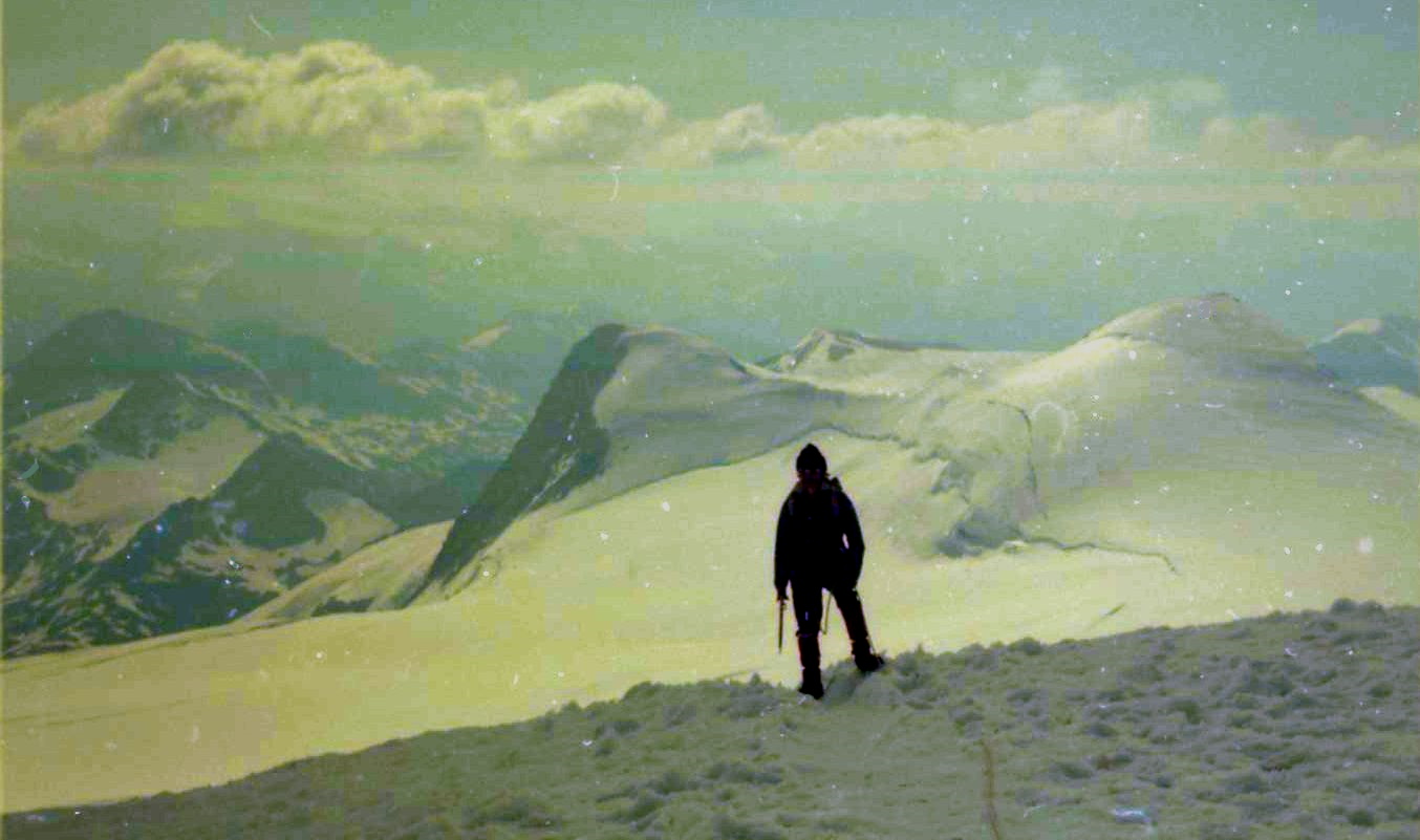
 Gran
Paradiso
|
 Marmalado
|
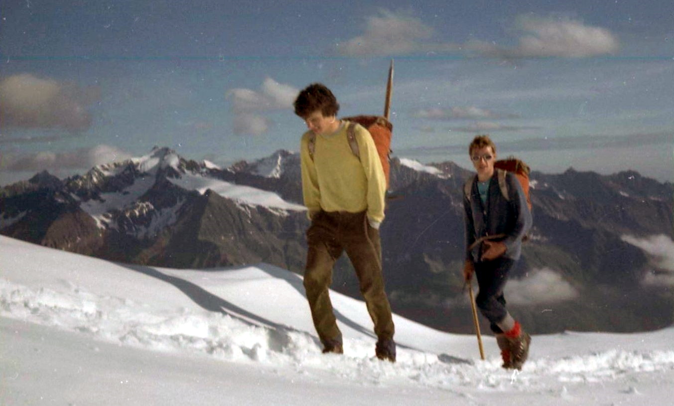
 Gross
Glockner
|
 NW Ridge
of Jungfrau
|
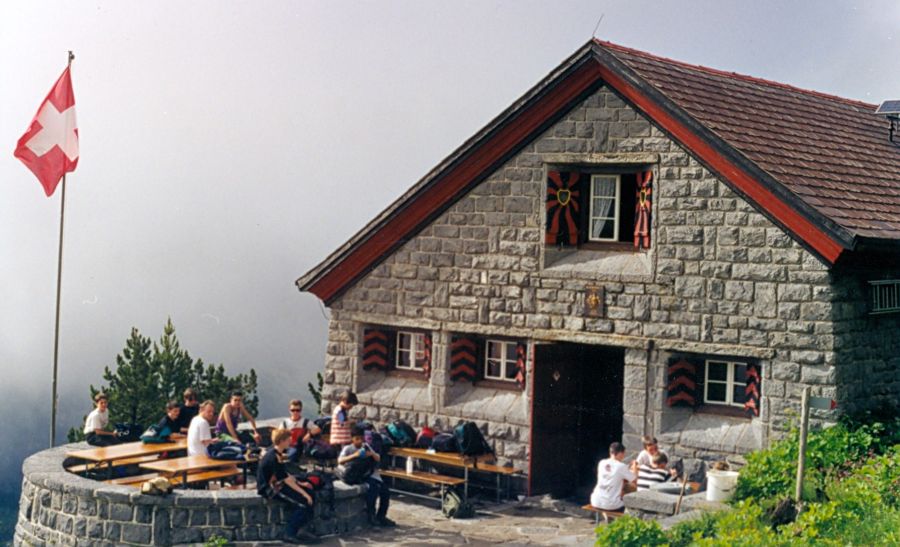 Doldenhorn Hut
|
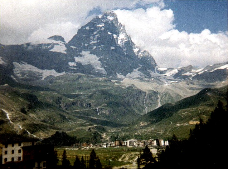
 Weisshorn above Mettelhorn
|
 On Gran Combin
|
 On Weissmies
|
 Summit of Dom
|
 Schreckhorn and Lauteraarhorn from the Finsteraarhorn
|
 On Morgenhorn
|
 Rinderhorn from Balmhorn
|