|
Bearsden & District Allander-Kelvin River
Walkway
|
  |
| |
Bearsden & District Allander-Kelvin River
Walkway
|
|
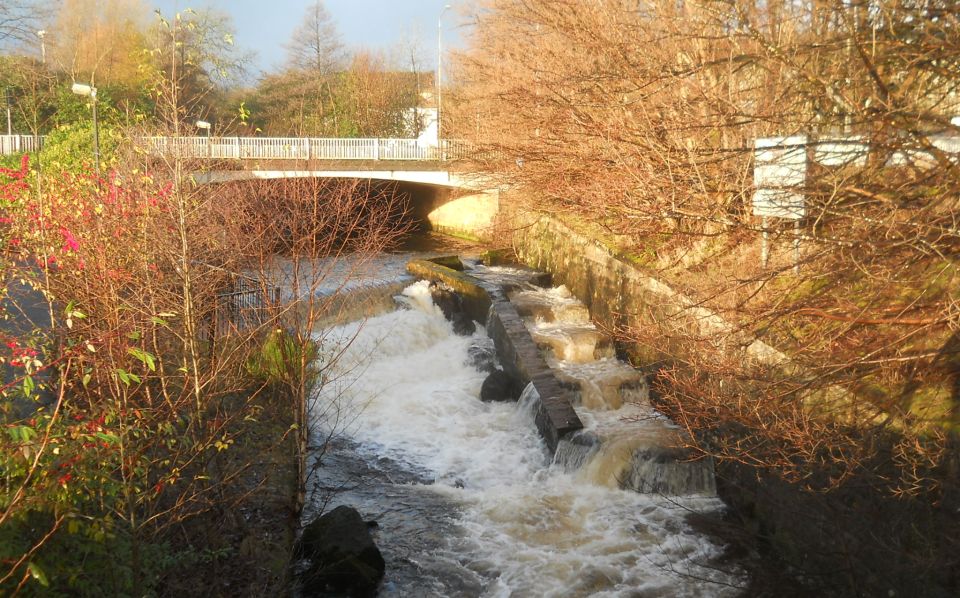
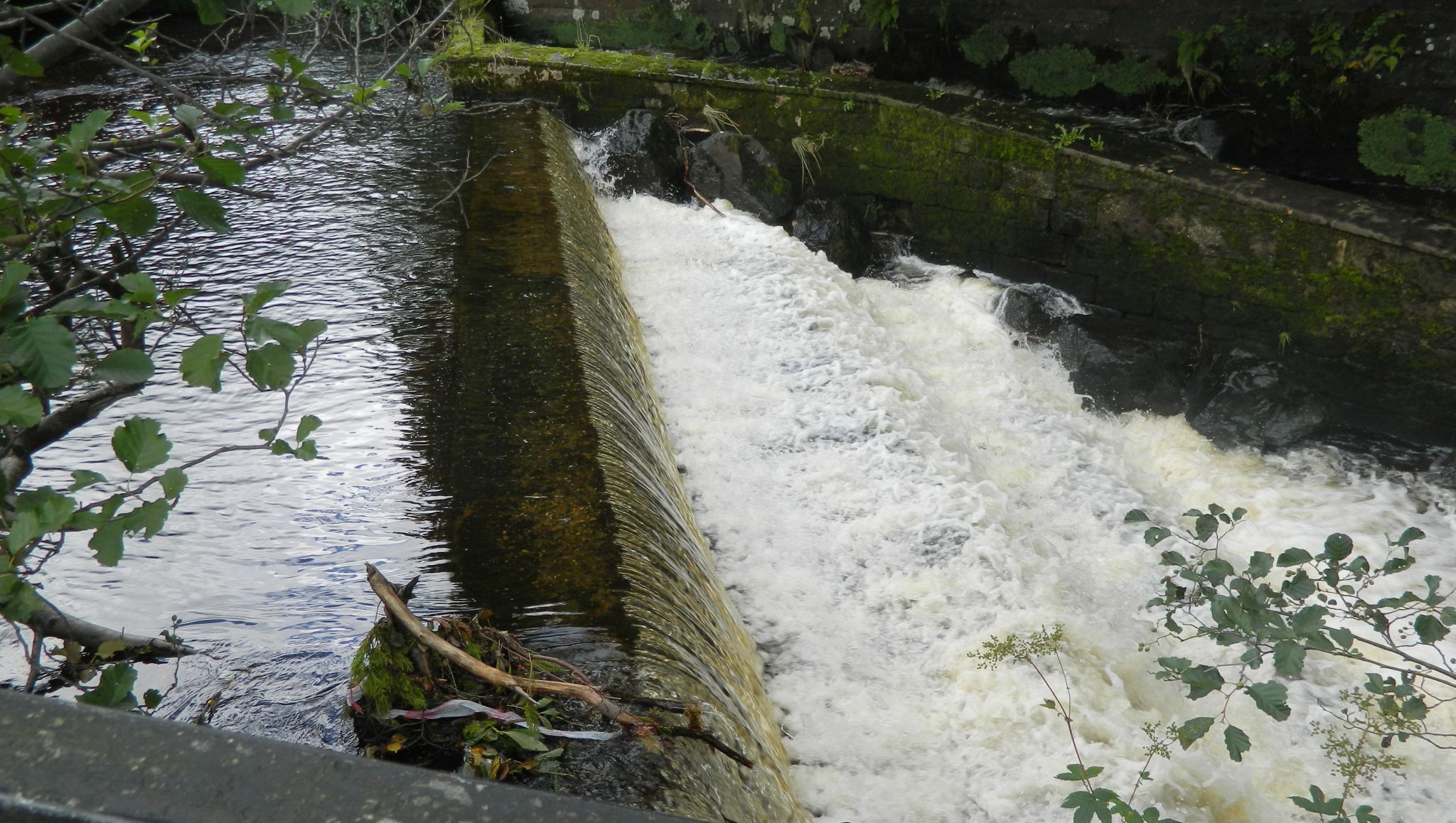
Salmon
ladder on Allander
River in Milngavie at the start
of the Allander-Kelvin
Walkway |
Salmon
ladder on Allander
River in Milngavie at the start
of the Allander-Kelvin
Walkway |
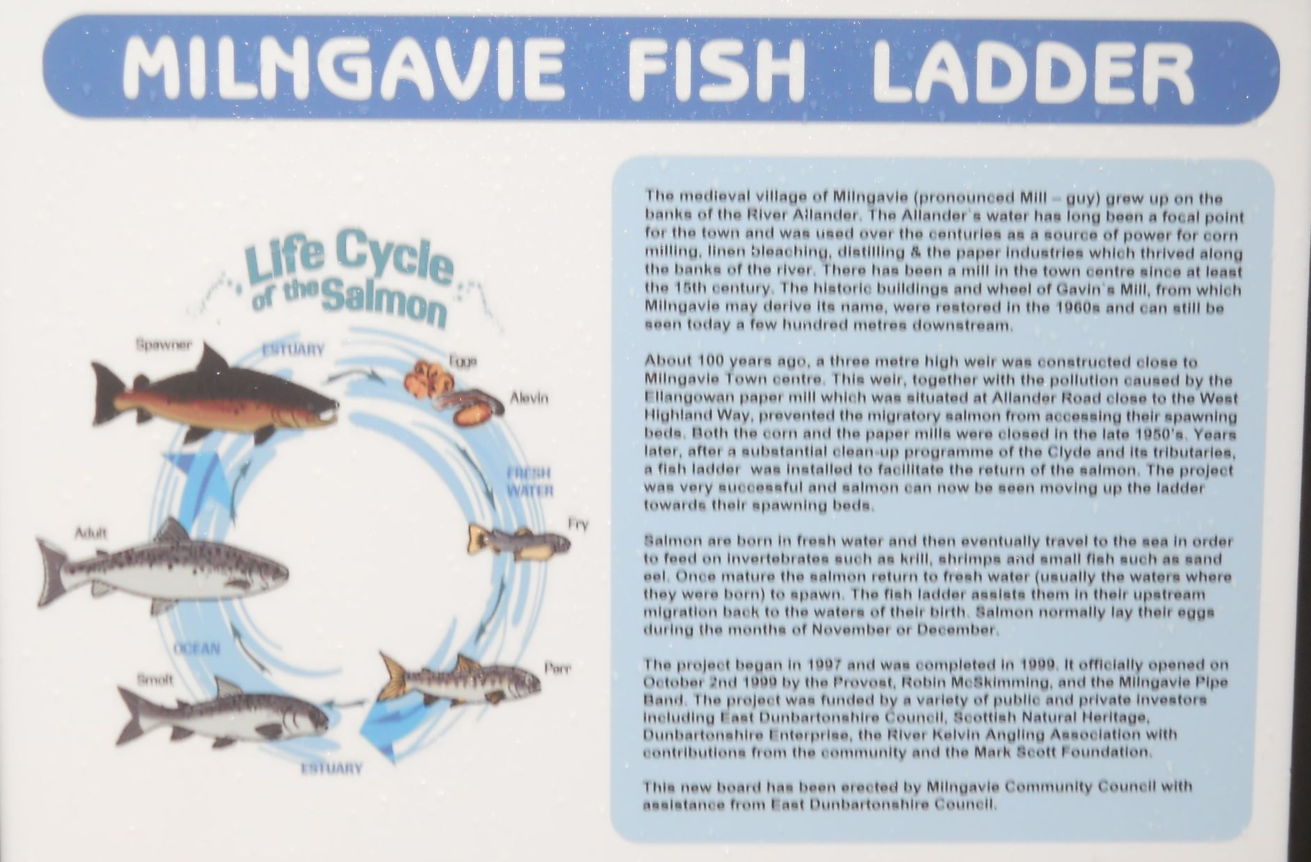
Information Board at the Salmon ladder on Allander River in Milngavie ( Note:
Click here
or on above for large format copy ) |
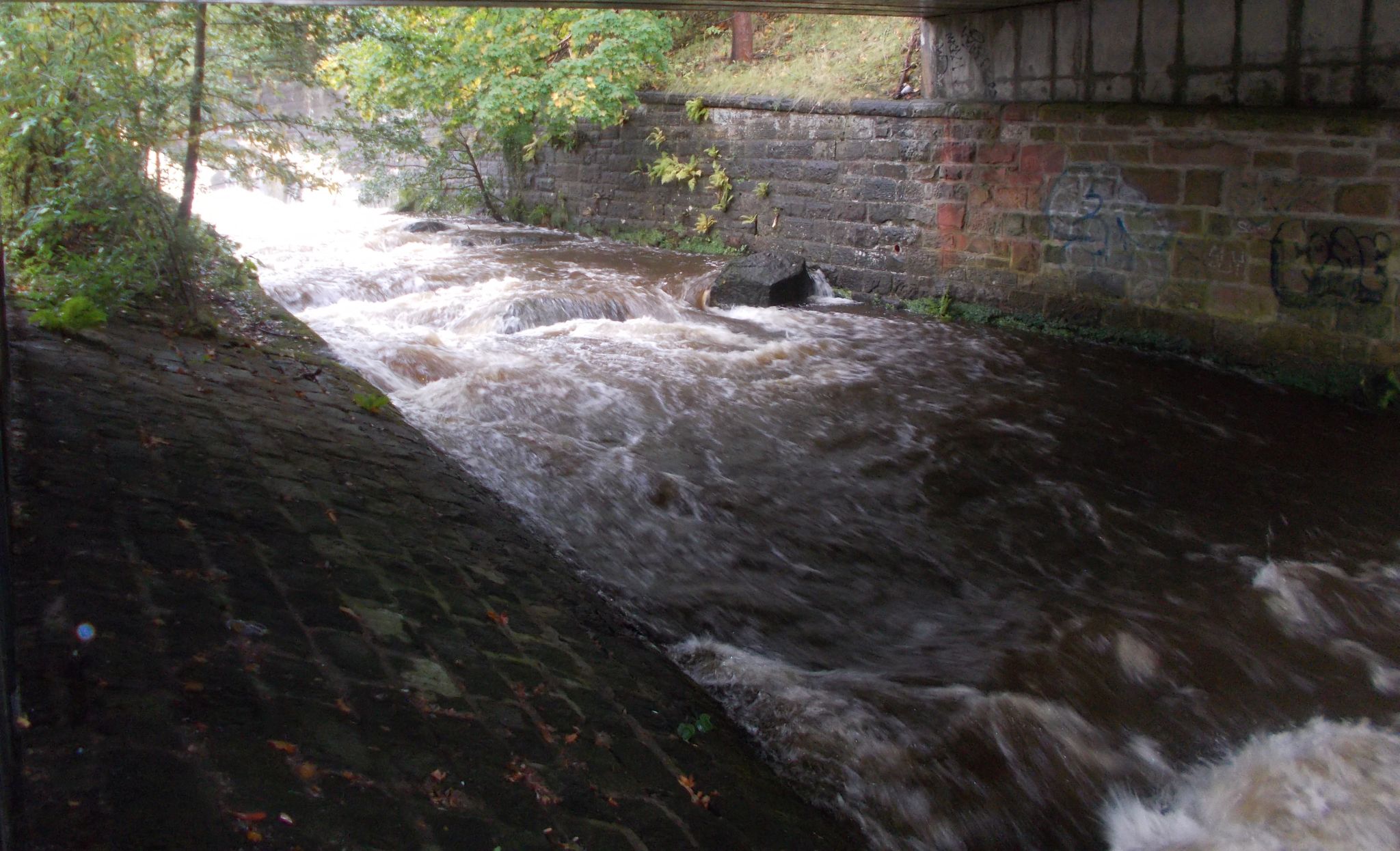
Allander
River in Milngavie at the start
of the Allander-Kelvin
Walkway |
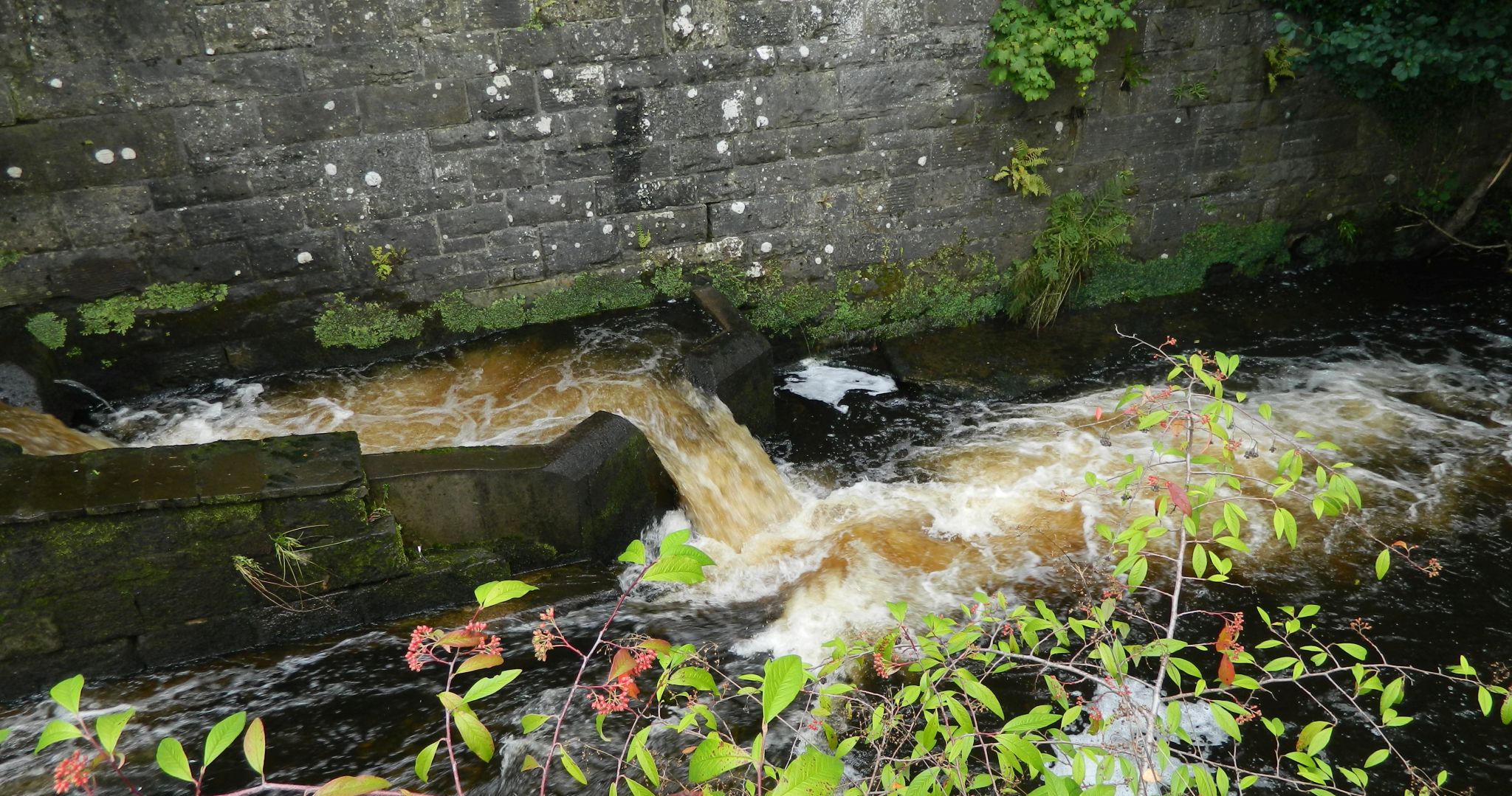
Salmon
ladder on Allander
River in Milngavie at the start
of the Allander-Kelvin
Walkway |
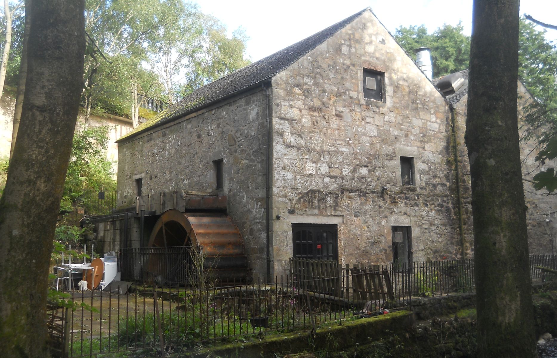
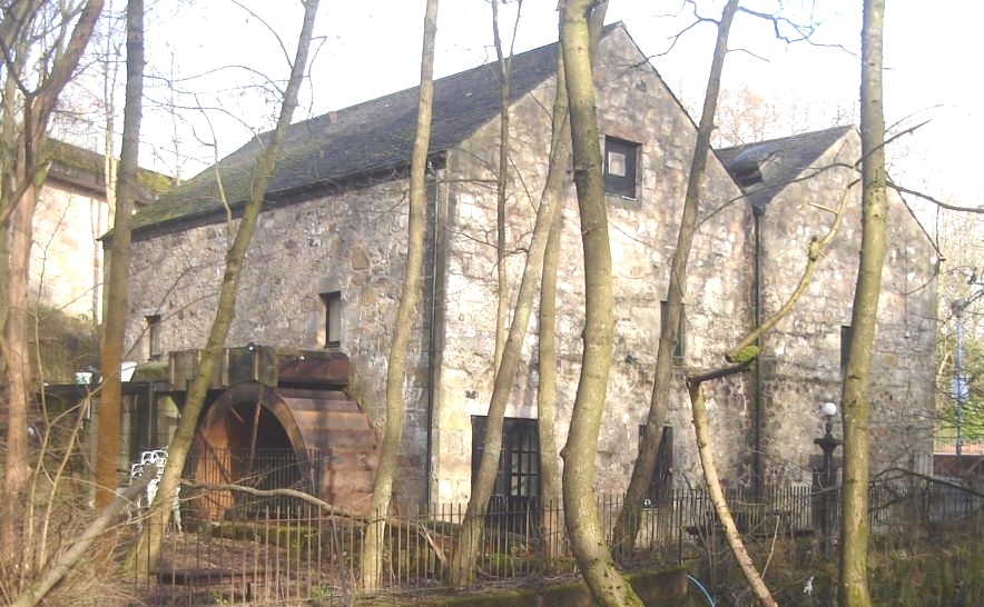 Gavin's
Mill on the Allander
River
in Milngavie The village of Milngavie grew up on the banks of the River Allander where grain mills have been powered by the river since the fifteenth century. The village name may derive from the historic Gavin's Mill. Gavin's Mill dates from c1670 and is a category "B" listed building. Gavin's Mill has now been converted for use as a restaurant. |
 |
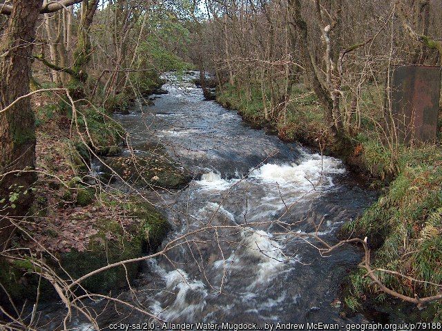
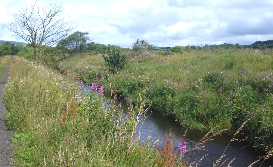
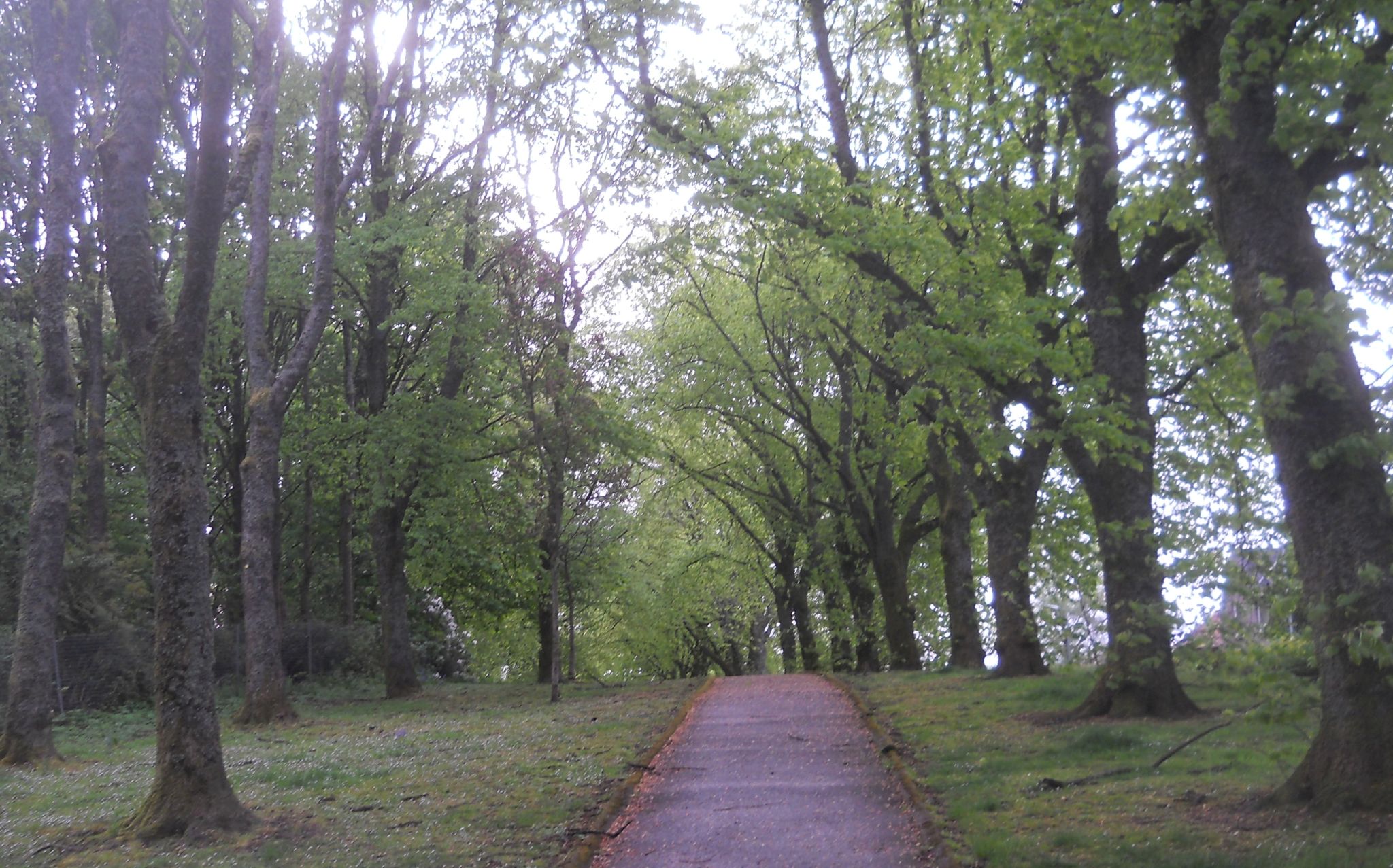
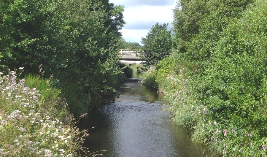
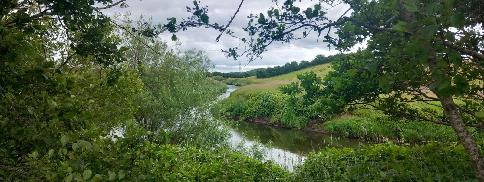
Allander
River in Milngavie on the Allander-Kelvin
Walkway |
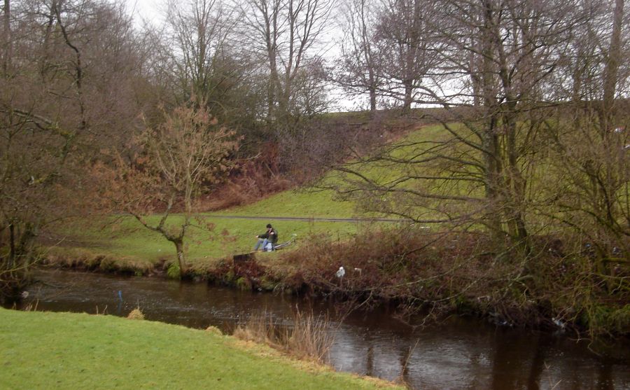
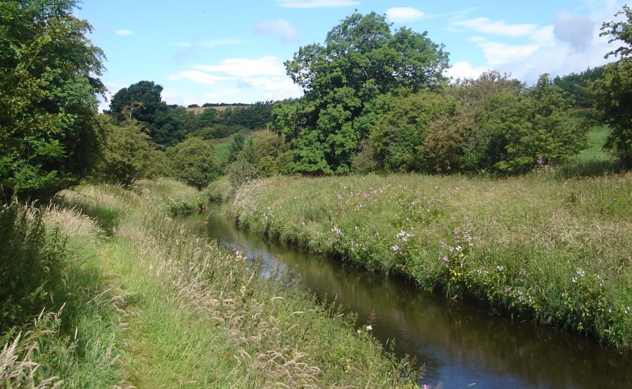
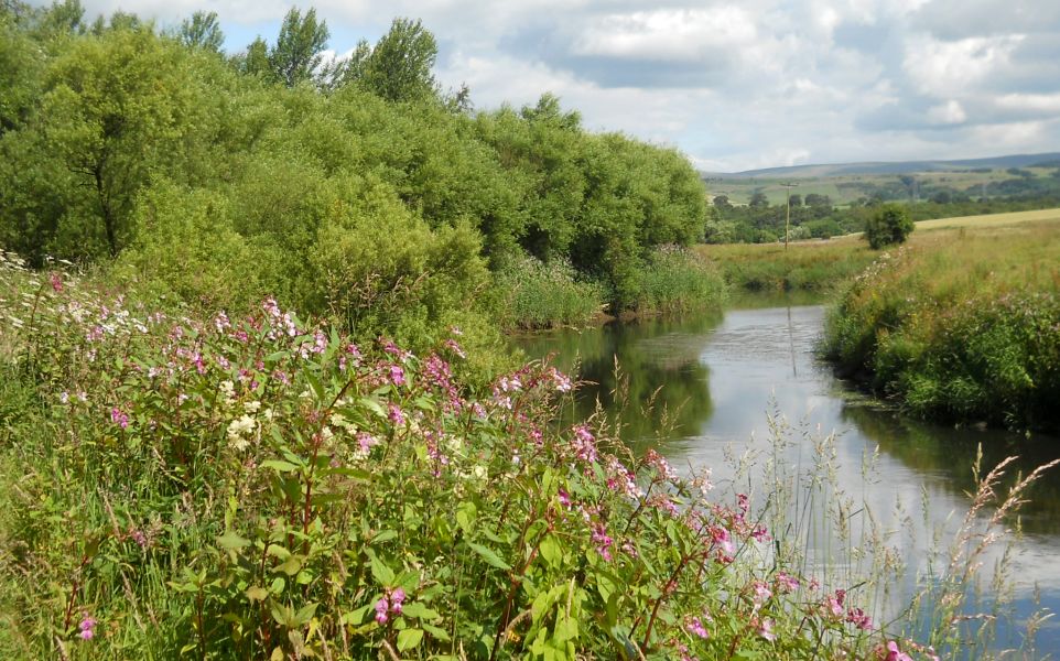
Allander River in Lennox Park on the Allander-Kelvin
Walkway |
Allander River in Lennox Park on the Allander-Kelvin
Walkway |
Allander River in Lennox Park on the Allander-Kelvin
Walkway |
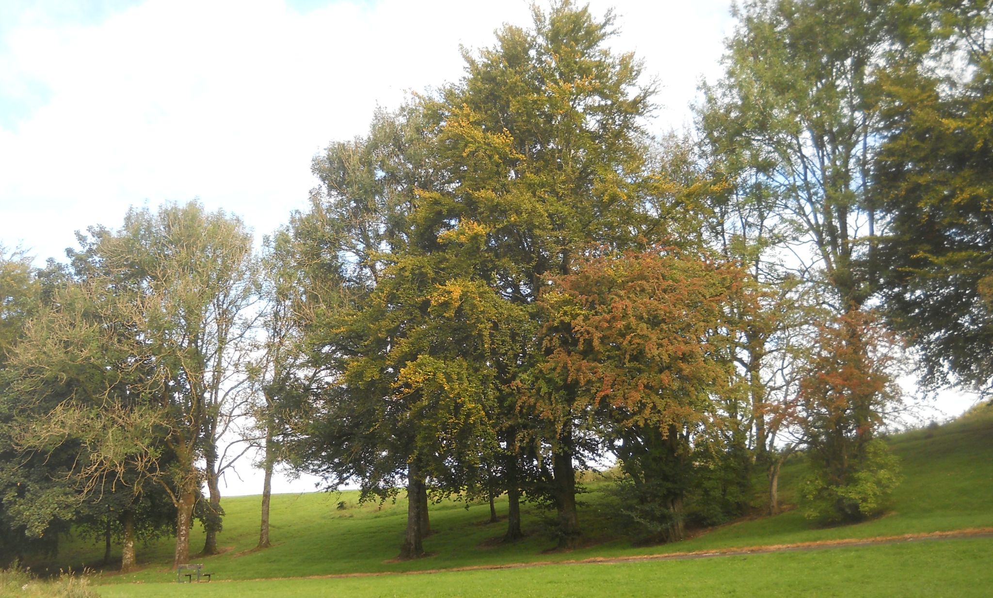
Lennox Park
in Milngavie on the Allander-Kelvin
Walkway |
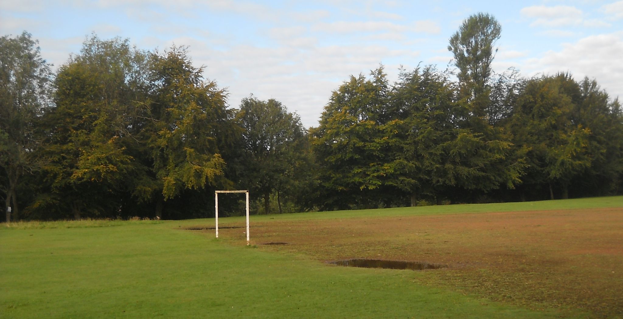
Lennox Park
in Milngavie on the Allander-Kelvin
Walkway |
Lennox Park
in Milngavie on the Allander-Kelvin
Walkway |
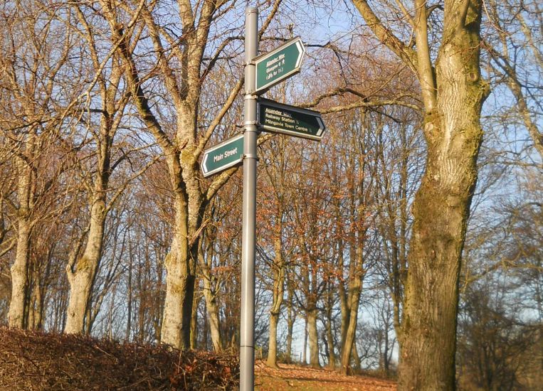
Signpost in Milngavie for the Allander-Kelvin
Walkway |
Signpost in Milngavie for the Allander-Kelvin
Walkway |
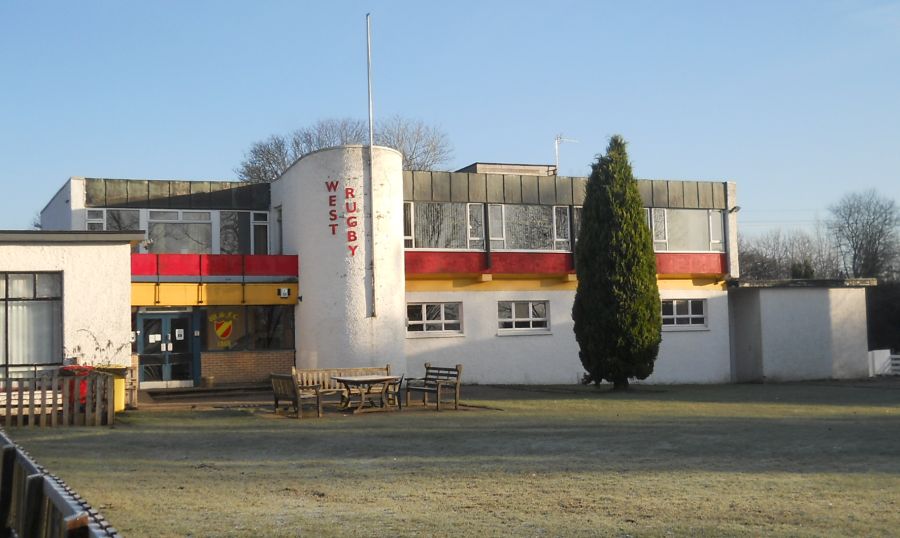
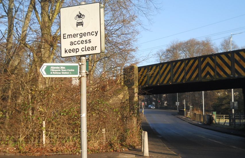
West of Scotland Rugby Club in Milngavie at the Allander-Kelvin
Walkway |
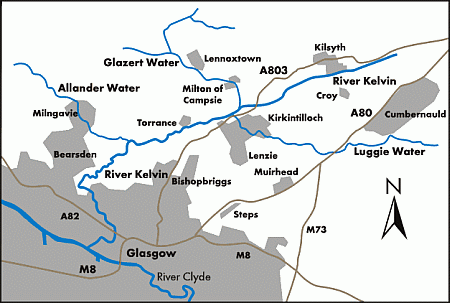
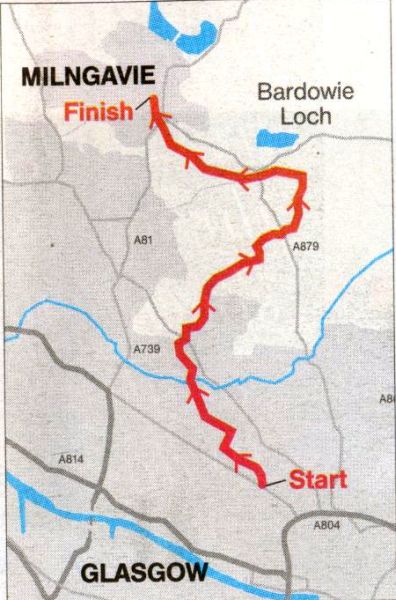
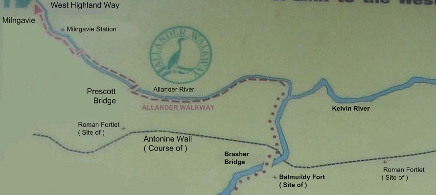 Map of
Allander River Walkway
The
Allander - Kelvin Walkway
connects Milngavie with the Glasgow Heliport on the north bank of the River Clyde. The walkway follows the Allander Water for 2 miles ( 3km ) southeast from Milngavie to join the River Kelvin. The route then turns southwest leaving the Kelvin to strike south through Summerston. It joins the river again just north of Maryhill, then proceeds south through Kelvinside, Kelvingrove Park and Yorkhill to reach the Clyde. A total distance of 9 miles ( 14.5km ) is covered. |
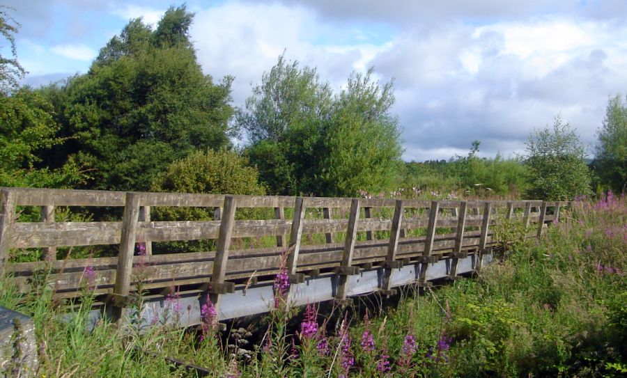 Prescott
Bridge
over Allander River |
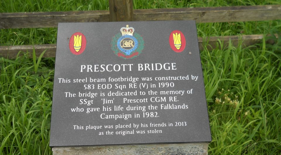 Memorial
Plaque on the Prescott
Bridge
over Allander River |
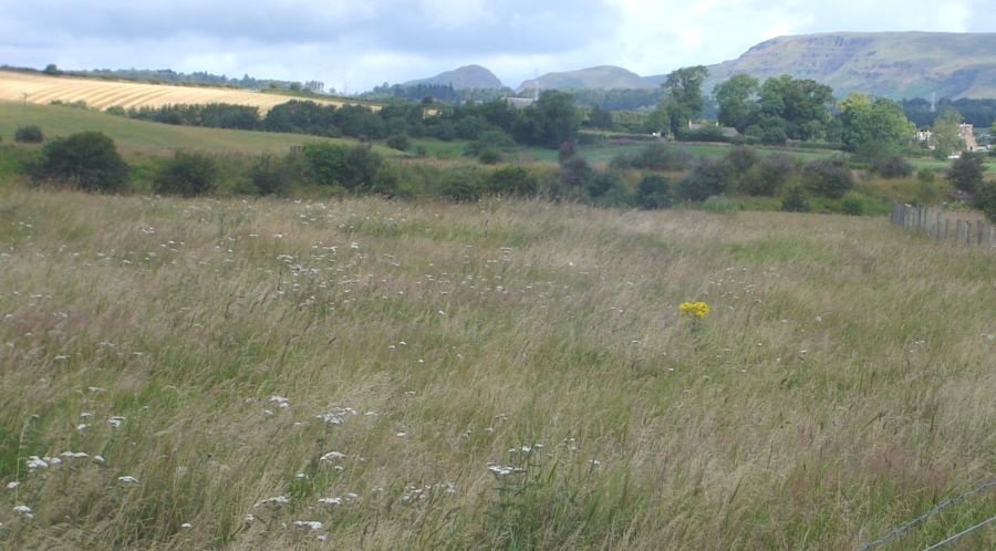
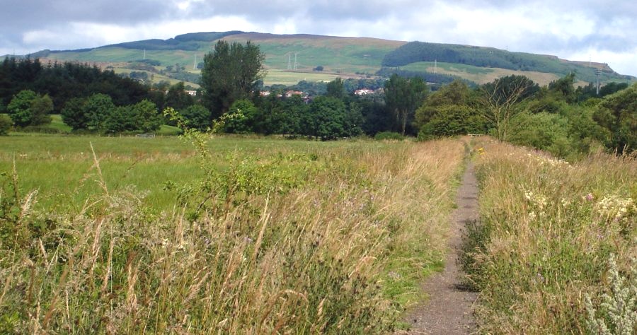 Kilpatrick
Hills
from the Allander River Walkway |
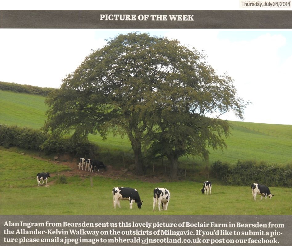 Dairy
Cattle at Boclair Farm
from the Allander River Walkway |
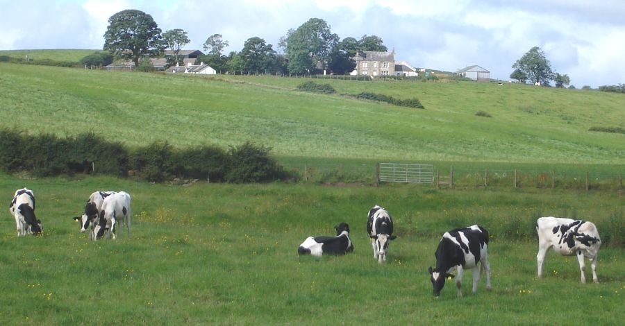 Cattle
and Farm
from the Allander River Walkway |
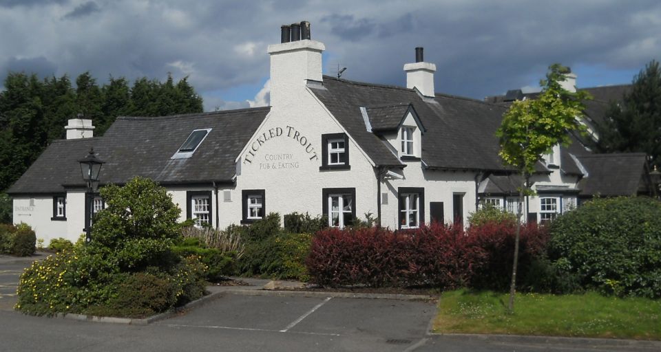 The
"Tickled Trout" restaurant
at the Allander River |
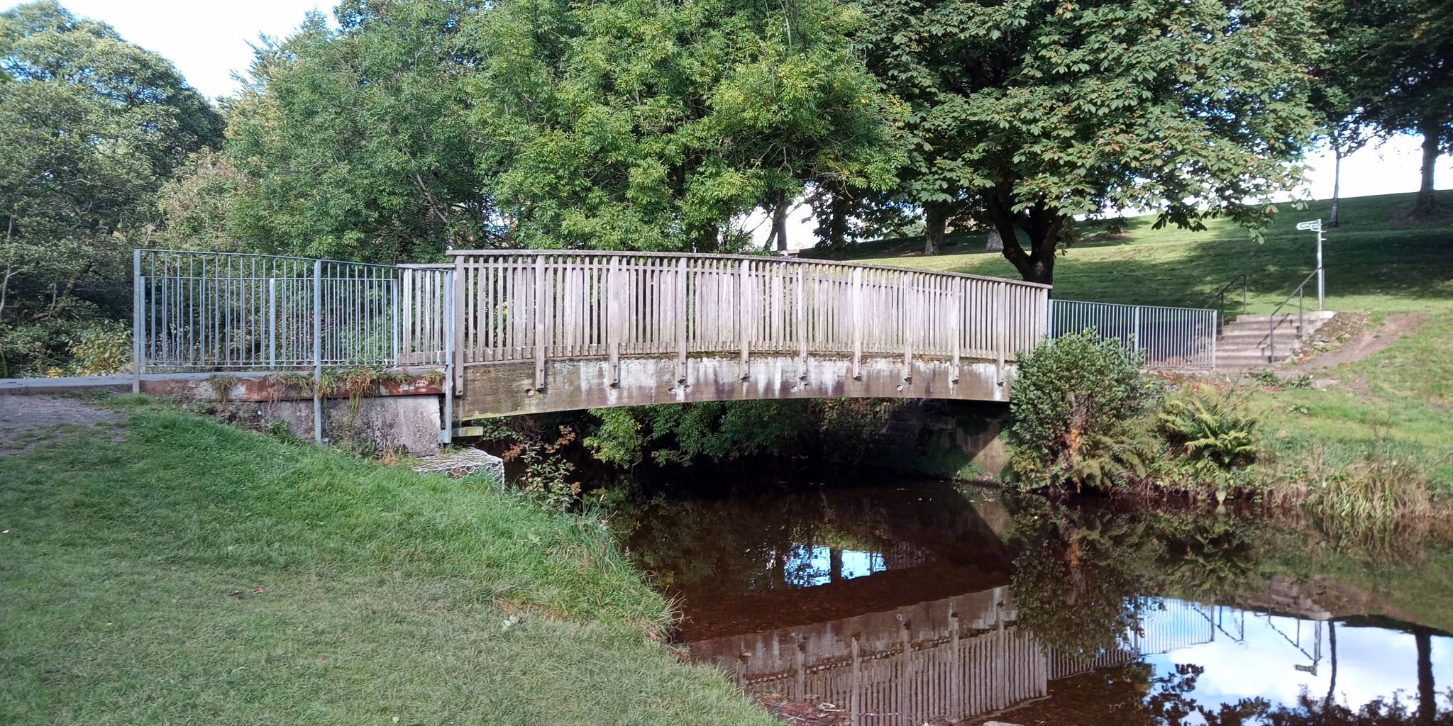
 Bridge
over the Allander River
|
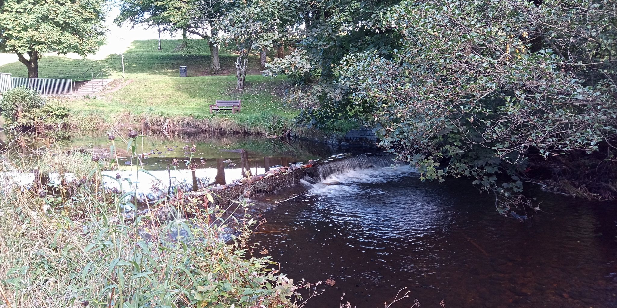
 Allander
River
|
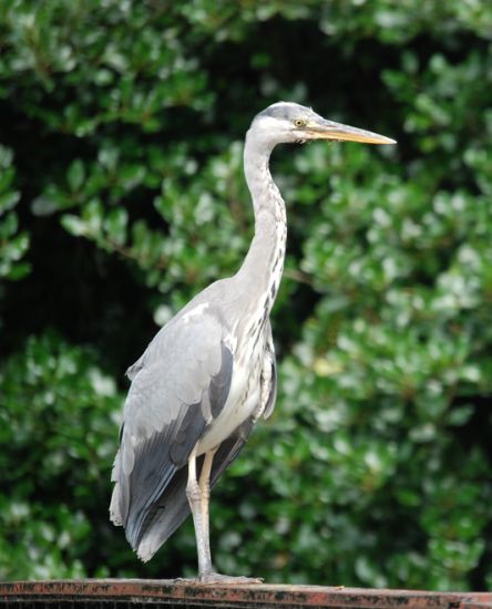 Heron
on Walkway
|
 |
 River
Kelvin Walkway
|
 River
Kelvin Walkway
|
 Map of
the River Kelvin
|
 Route
Map of the River Kelvin Way
|
 Route
Map of the River Kelvin Way
|
RIVER KELVIN WALKWAY - ROUTE DESCRIPTION:
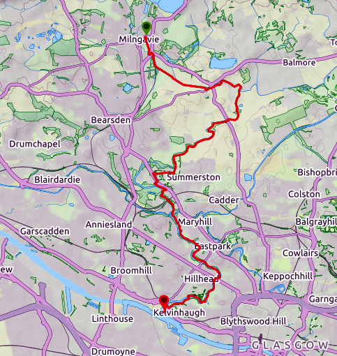
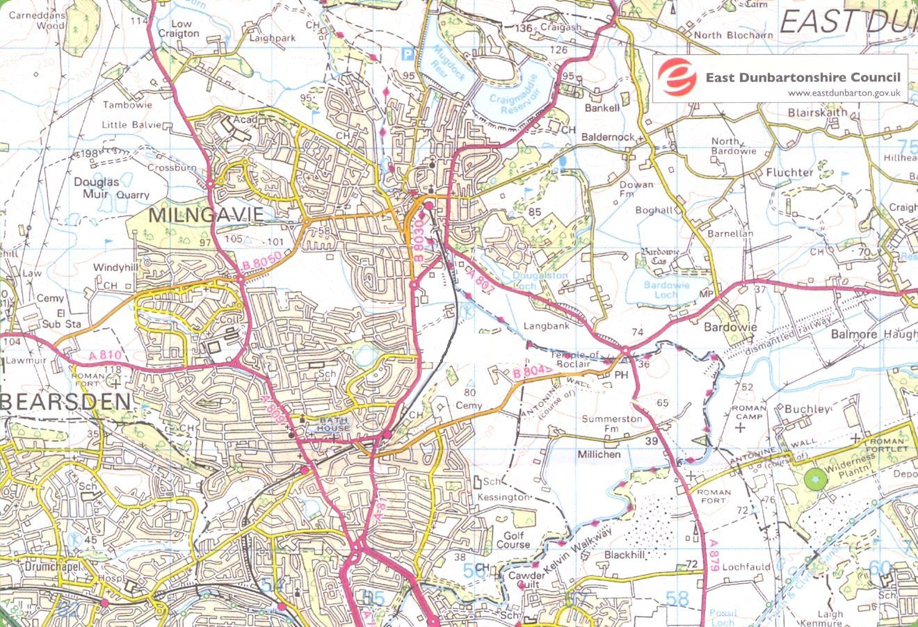 Map of
Bearsden & Milngavie
showing route of Allander-Kelvin River Walkway ( Note: Click here or on map for large format copy ) |
 :: Bearsden
Photo
Gallery
:: Bearsden
Photo
Gallery 
Glencoe | Ben Nevis | Knoydart | Isle of Skye | Isle of Arran | The West Highland Way
The Eastern Highlands | The Central Highlands | The Southern Highlands | The NW Highlands