  |
The West Highland WayBeinn an Dothaidh
|
  |
Beinn an Dothaidh and its
neighbour Ben Dorain
are prominent features above the West Highland Way
on route from Tyndrum into Glen Coe
Beinn an Dothaidh above Loch Tullafrom Stob a'Choire Odhair |
|
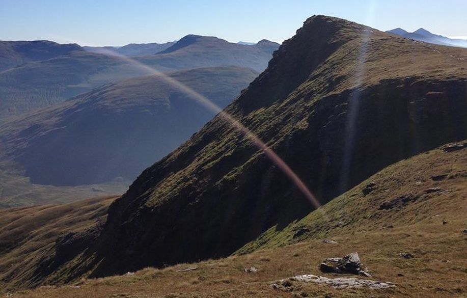 Beinn
an Dothaidh
|
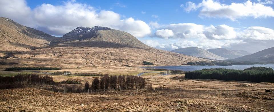 Beinn
an Dothaidh and Loch Tulla
|
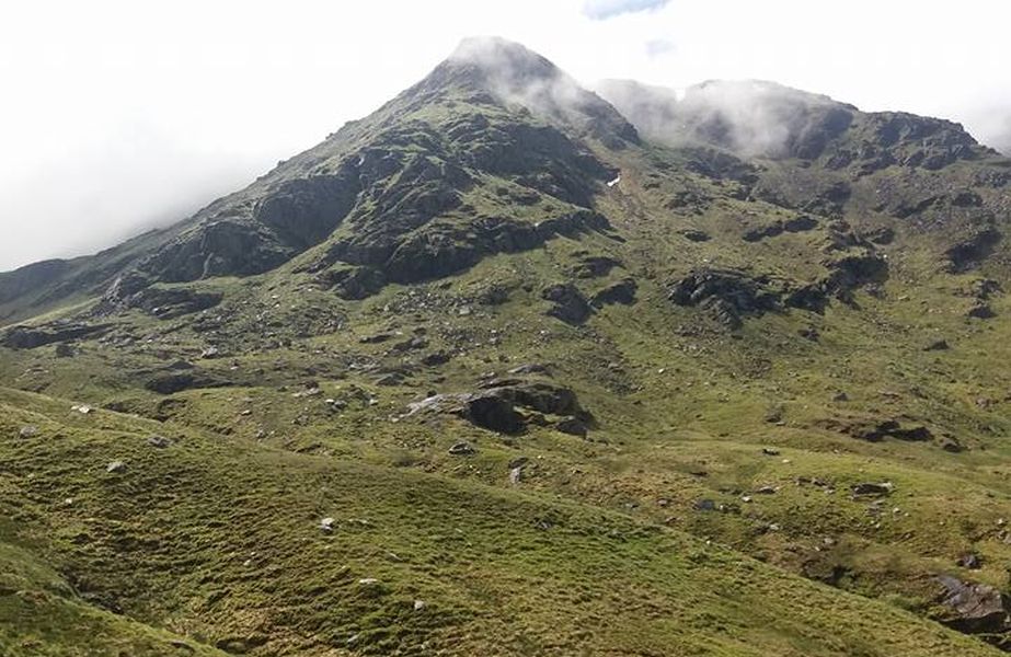 Beinn an Dothaidhfrom Beinn Achaladair |
|
Beinn an Dothaidh |
|
Beinn an Dothaidhfrom Beinn Achaladair |
|
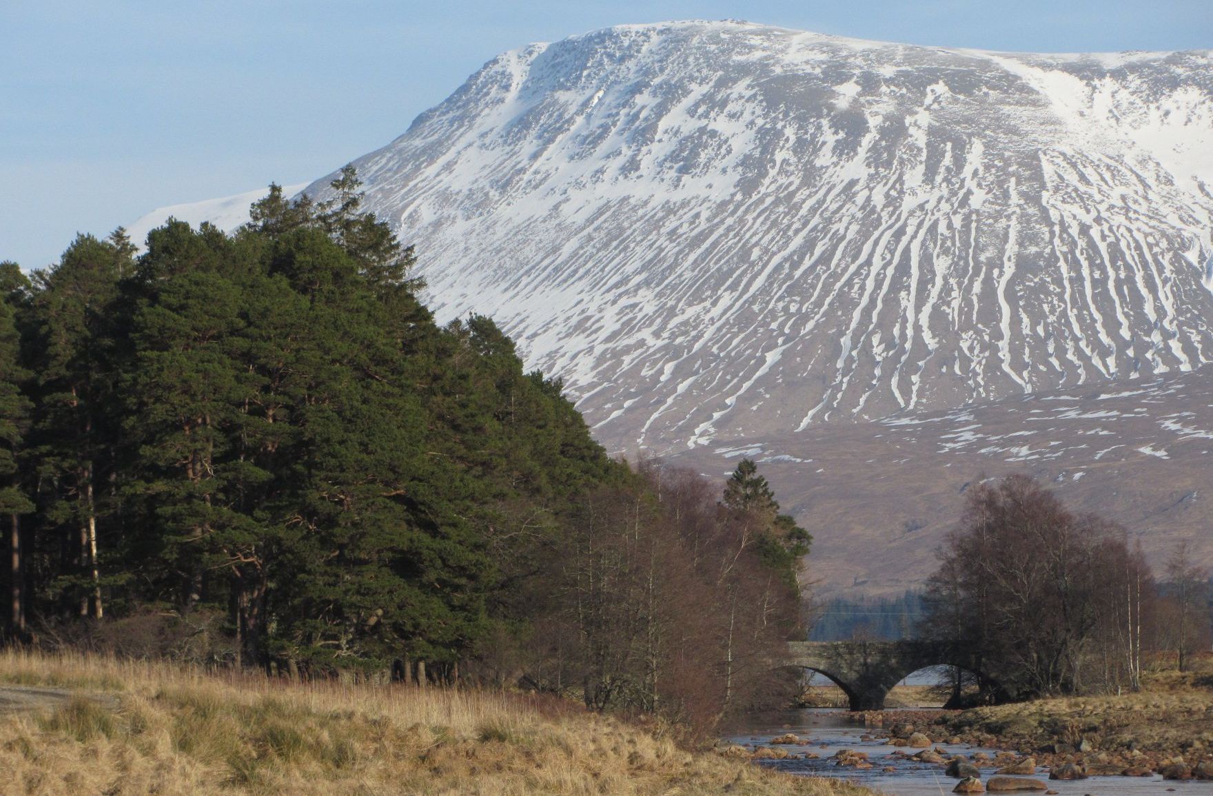 Beinn an
Dothaidh
|
Beinn an Dothaidhabove Victoria Bridge |
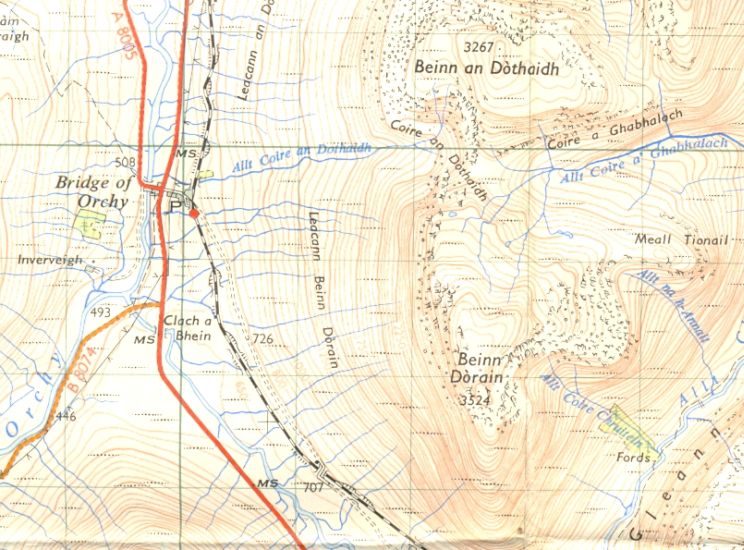 Location
Map for Beinn an
Dothaidh
and Ben Dorain |
Map of
Bridge of Orchy
Munros
|
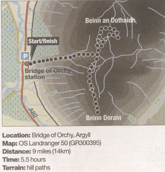 Route
Map for Ben
Dorain
and Beinn an Dothaidh |
BEINN DORAIN & BEINN an DOTHAIDH - ROUTE DESCRIPTION:
Beinn Dorain and Beinn an Dothaidh are Munros which are hard to miss for those travelling the A82 between Tyndrum and Glencoe.
The ascent provides a fine. easily accessible and relatively straight forward outing.
Start from the station car park at Bridge of Orchy and take the underpass beneath the railway. Go through a gate and fellow a well- trodden path past a telecommtmications aerial on to the open hillside. This path leads into the narrow corrie formed between the two hills and heads towards the obvious col on the skyline. Beyond large boulders. the ground steepens and the path leads through the gap between rock faces to reach the col ( 744m / 2441ft ). From here it is perhaps best to climb Beinn Dorain first and this lies to the right, due south. Although its summit is set back a mile or so, the terrain. views and walk out are immensely enjoyable. lnitially the path runs along the edge above some minor rock bluffs then swings up right. passing a tiny lochan before climbing the shoulder up and over a false top to gain the summit ( l076m / 3530ft ). Betrace your steps to the col then follow the path up right and across the slope aiming for the central and highest of three bumps on the skyline ridge of Beinn an Dothaidh. Unlike the previous hill. the ground is not so pleasant. and although the path becomes boggy and more difficult to follow it is never too steep and the top is much closer. it's worth making the slight detour out to the pointed right-hand top ( 993m / 3258ft ) before taking in the main summit (1004m / 3294ft ) then continuing across to the flat western top ( 1000m / 3281ft ). The ground drops steeply to the north here and the airy feel and spacious views more than make up for the terrain on the ascent. The best return is to descend the broad rocky crest southwards before dropping down left at the end to join the ascent path just above the col. The route of ascent now leads back to Bridge of Orchy with fine views ahead to Stob Ghabhar and the Ben Starav hills.

Ben Nevis | Knoydart | Isle of Skye | Isle of Arran | The West Highland Way
The Eastern Highlands | The Central Highlands | The Southern Highlands | The NW Highlands