( Note:
Click here
or on map for large format copy )
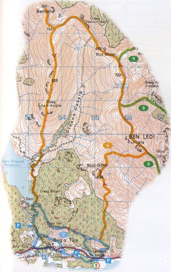
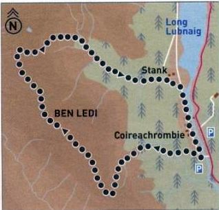
Route Map for Ben
Ledi
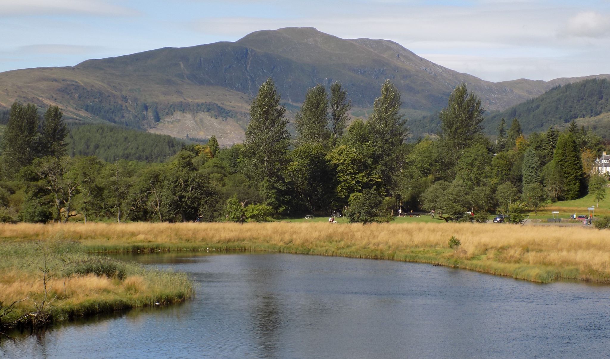
BEN LEDI -
ROUTE DESCRIPTION:
Location: Callander
Map: OS Landranger 57 ( GR 587 094 )
Distance: 6.5 miles ( 10.5 km )
Time: 3 hours 30 minutes
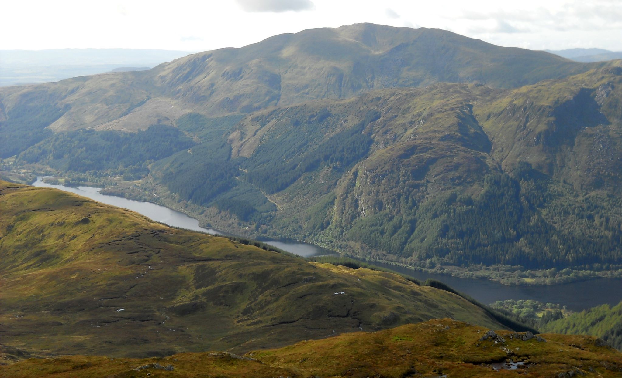
Terrain: tracks and paths Ben Ledi is one of
the most often climbed hills in the Southern Highlands. Two car
parks serve the ascent path. The first is accessed from the A81 north
of the Pass of Leny by turning left over
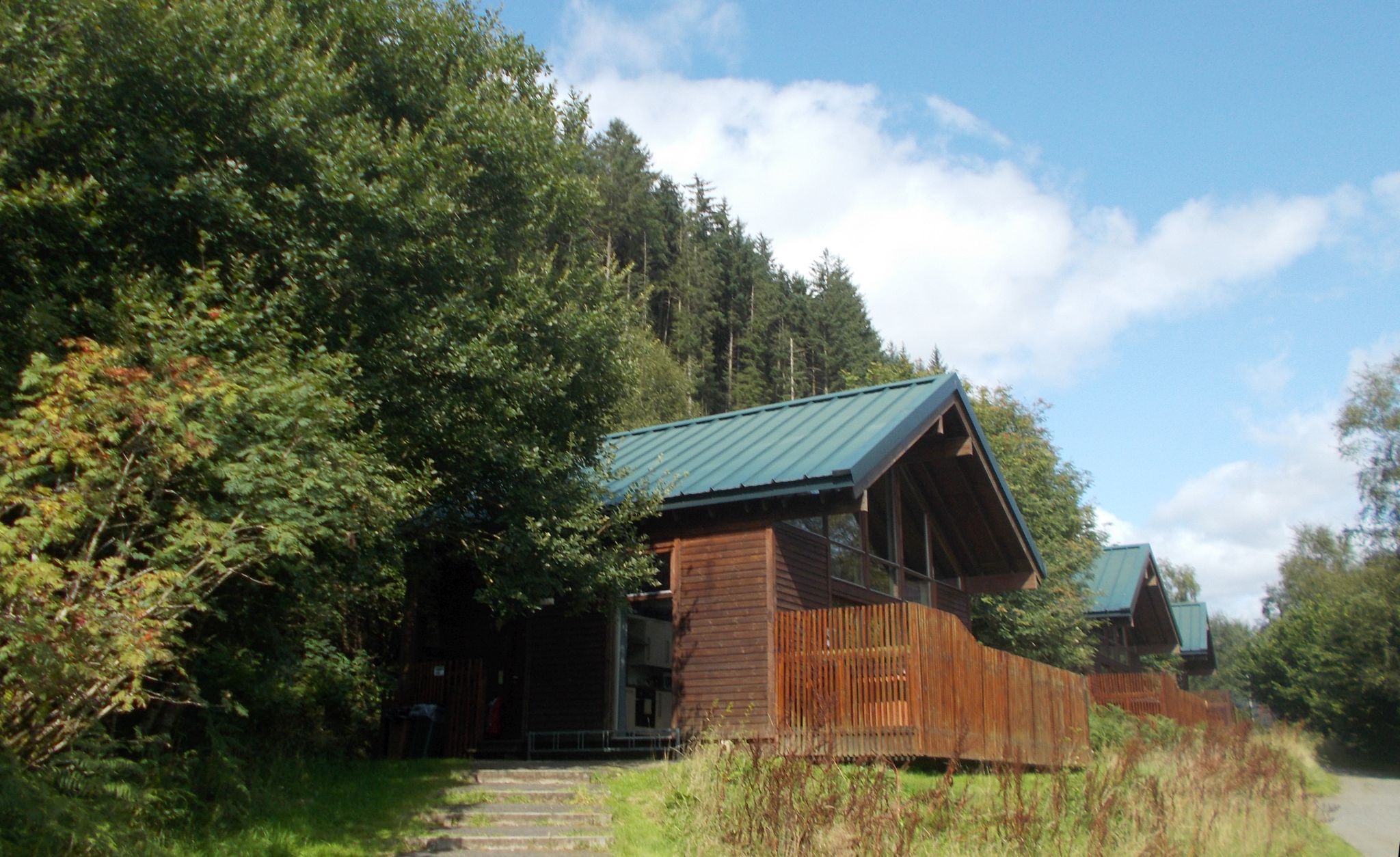
a metal bridge signposted to Strathyre Forest Cabins. The second is a
large layby on the A84 just north of the previous turning.
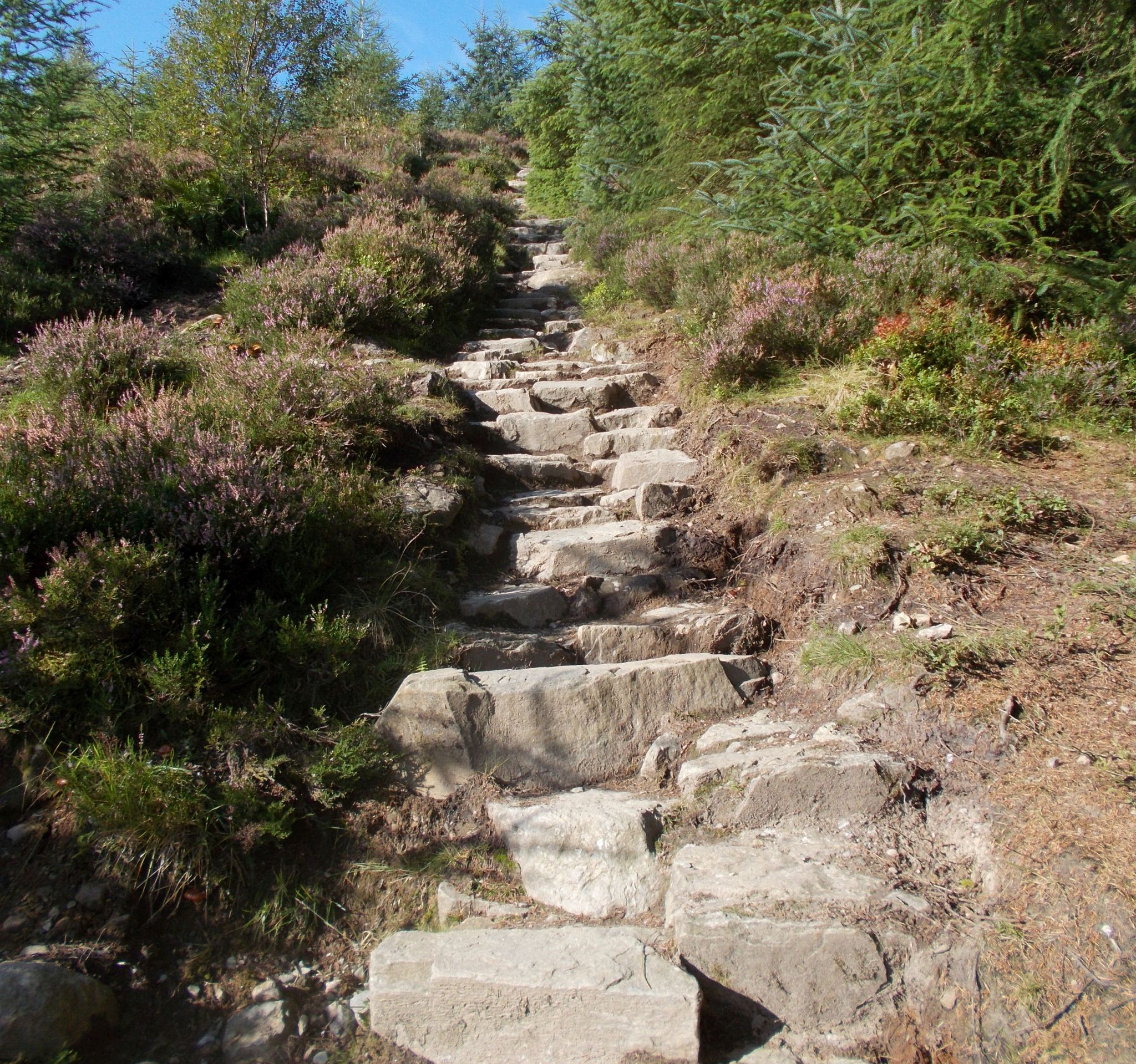
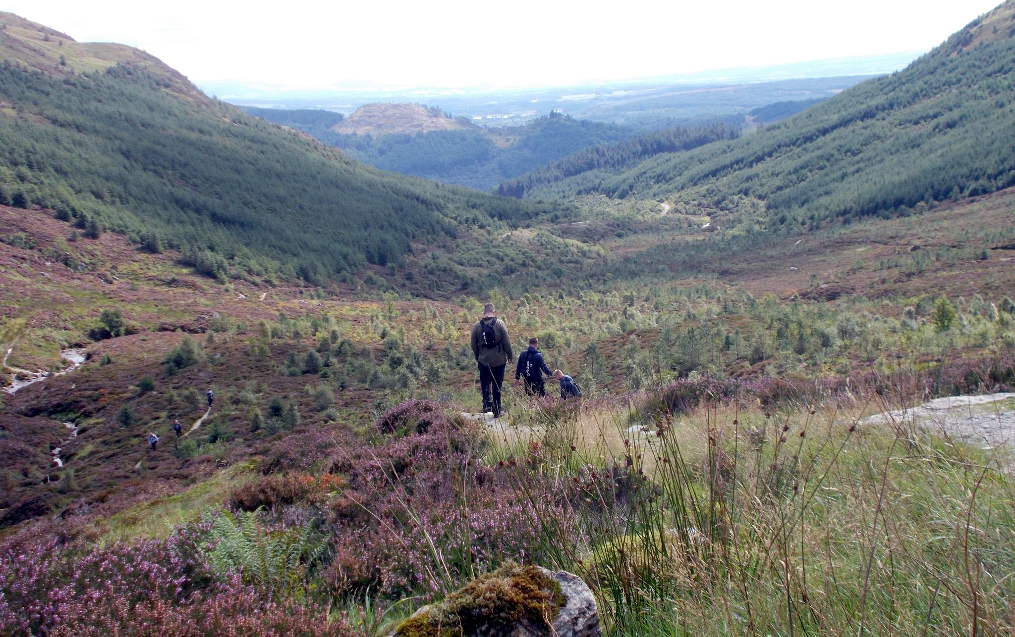
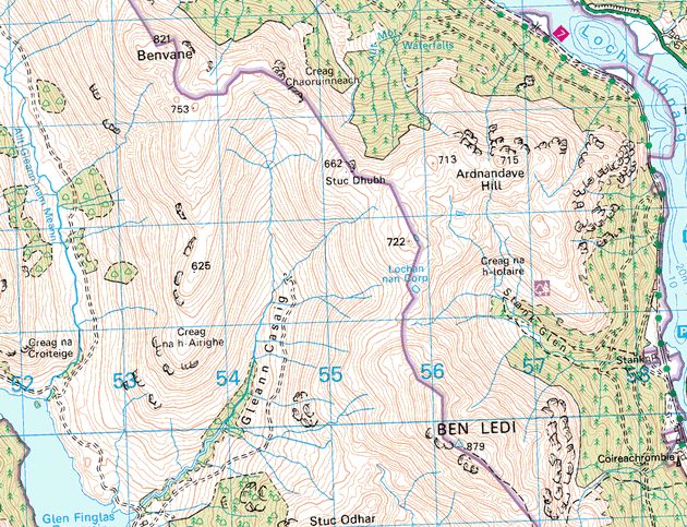
The signposted path starts from the first car park: continue to cross a
burn and exit from the forestry plantation on to a mountain path below
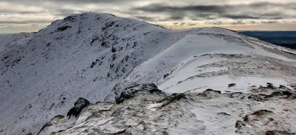
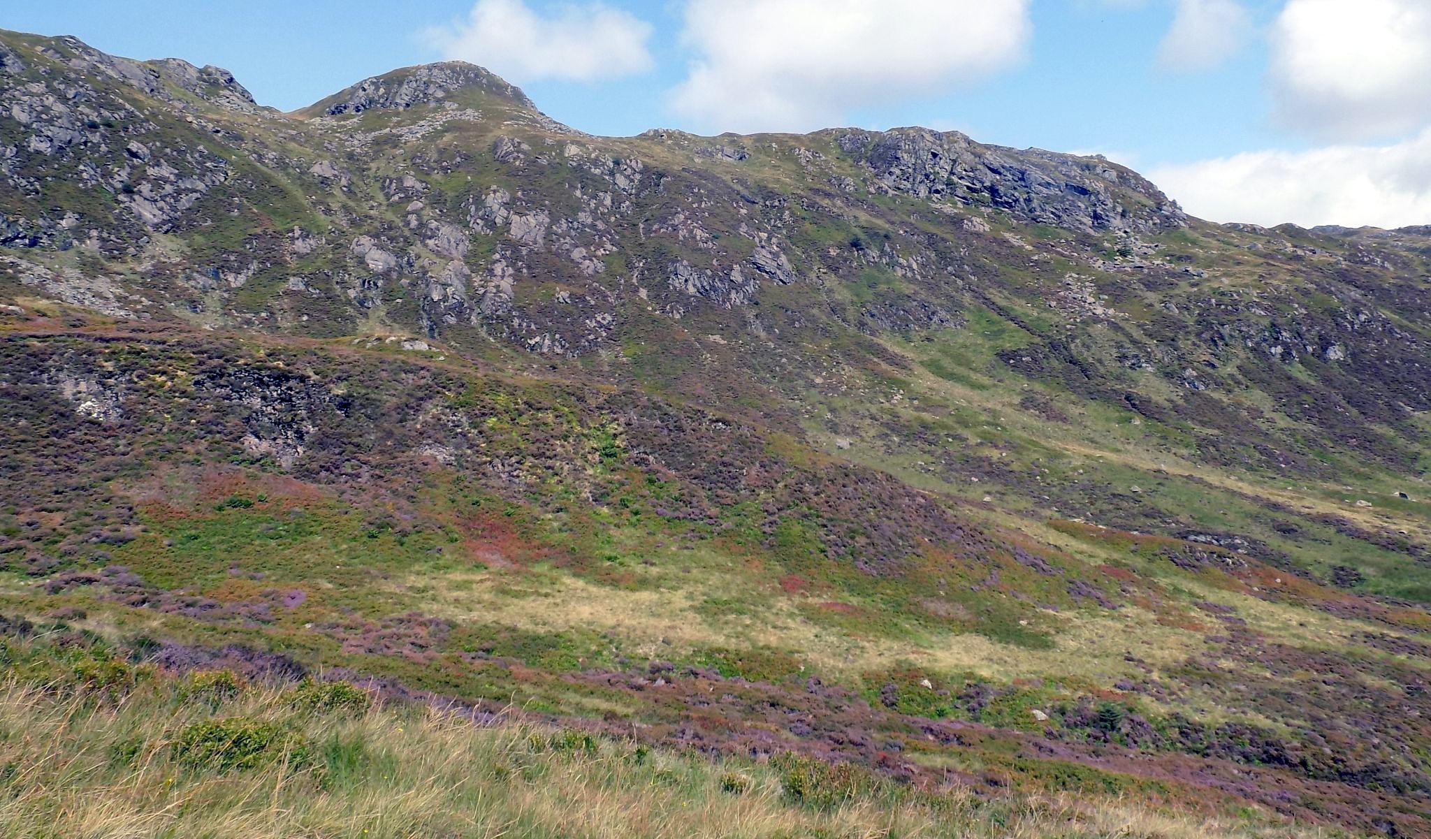
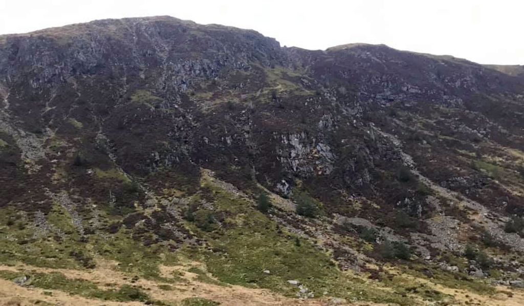
the impressively craggy south-east face. Ascend the corrie beside the
burn. The path starts to level out at the col, then turns right to gain
the broad ridge leading towards the summit.
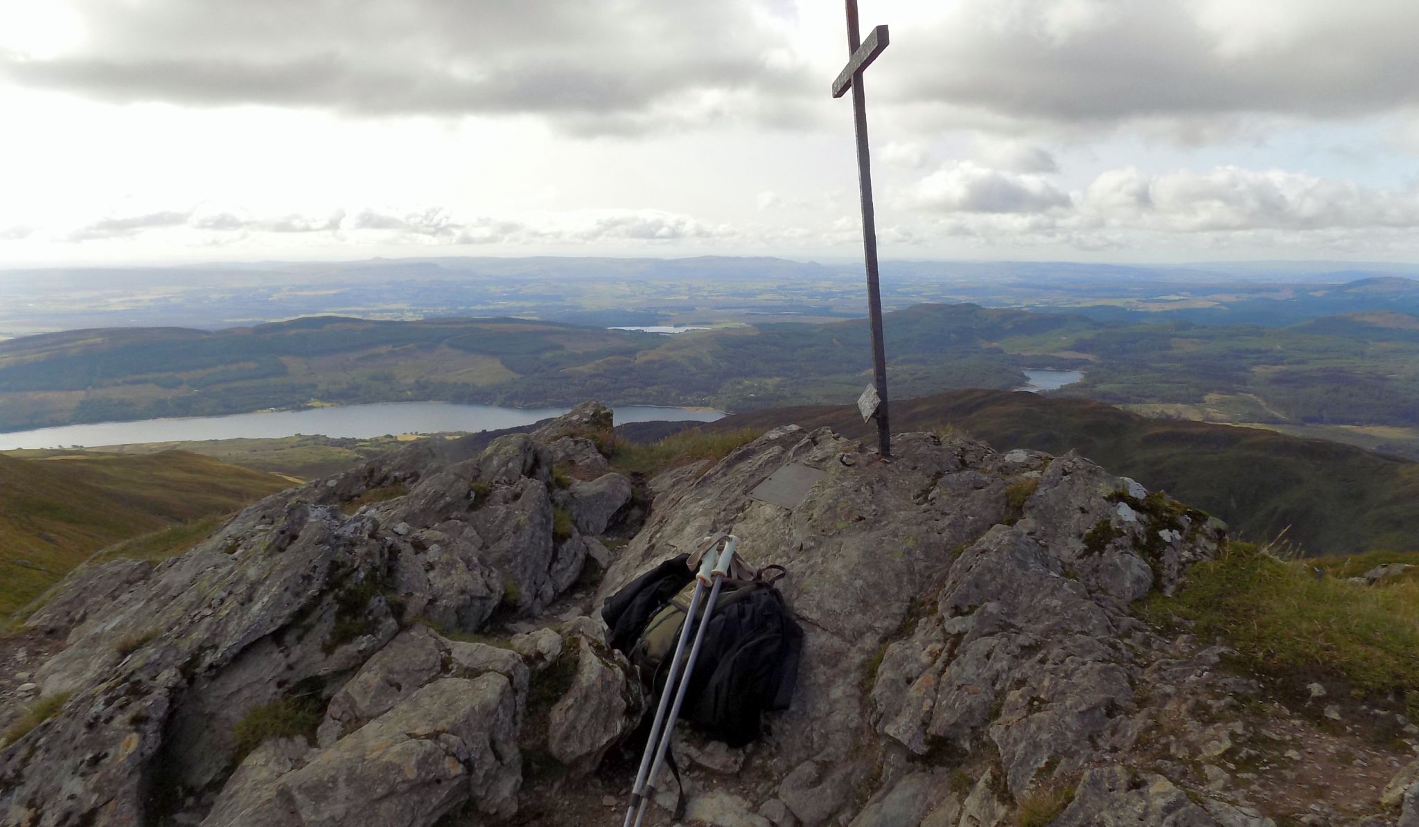
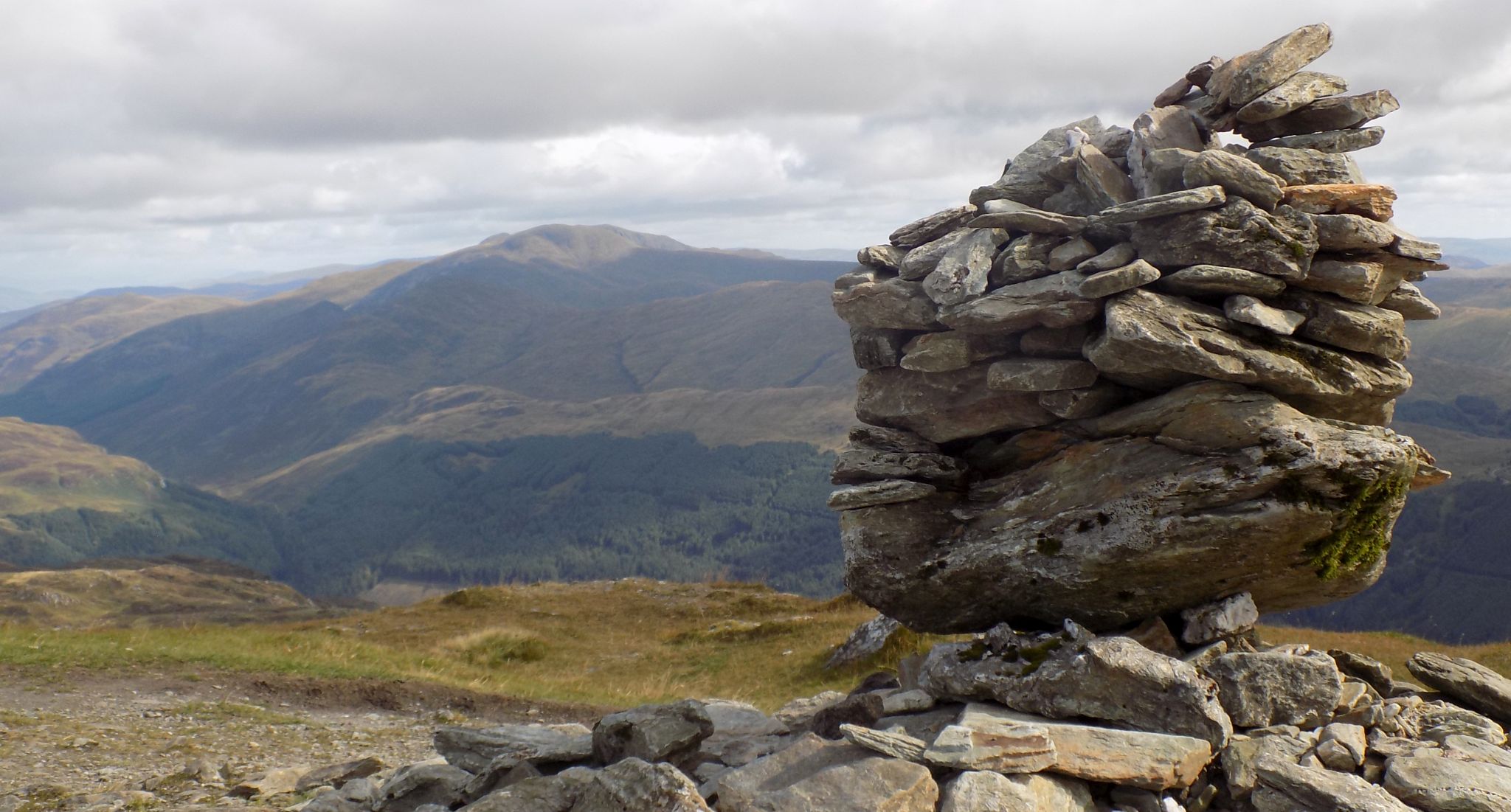
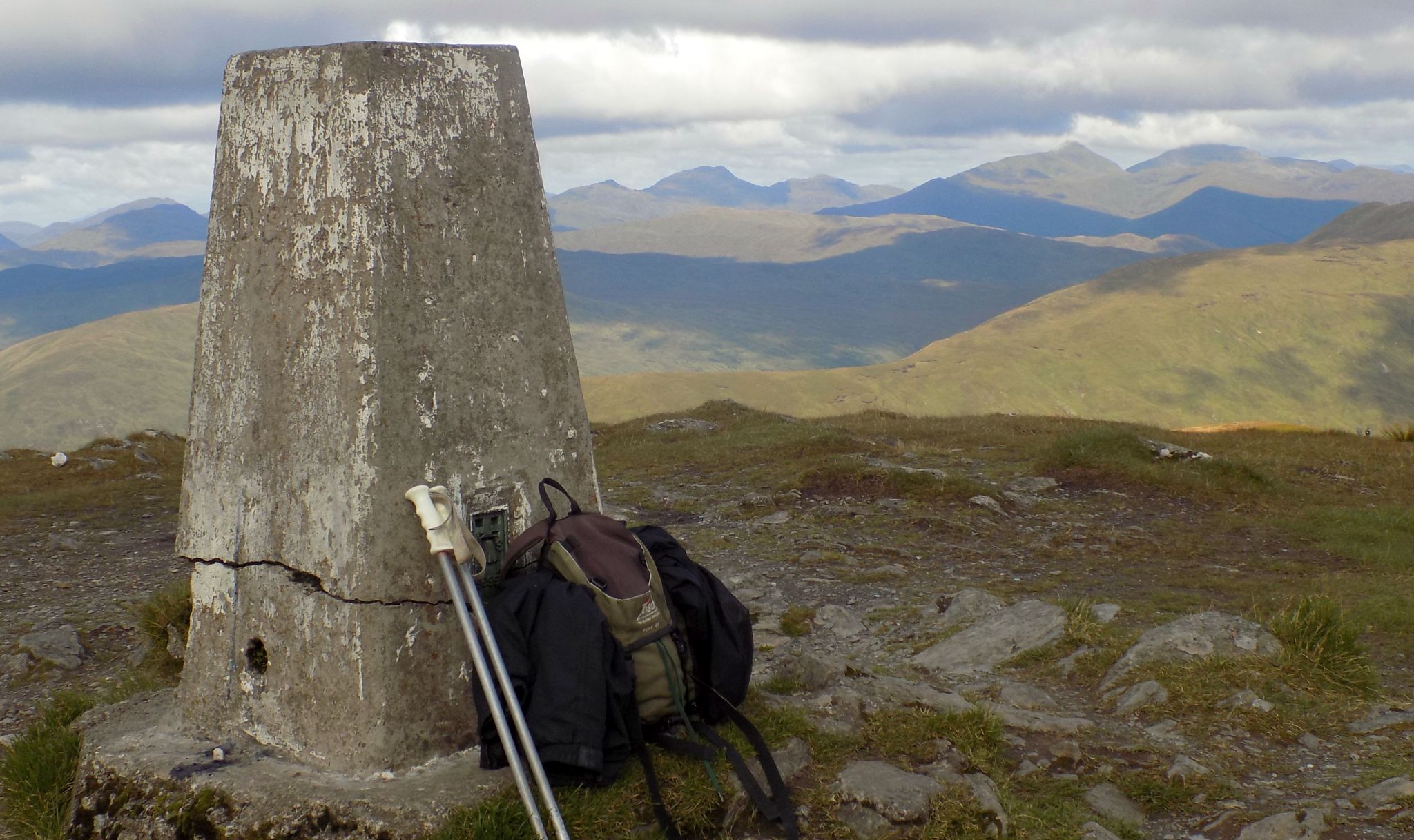
Occasional fence posts lead to a final pull to the summit trig point via
a rocky ridge surmounted by a metal cross which commemorates the life
of Sgt Harry Lawrie killed in a helicopter crash during a mountain
rescue
on Ben More in the winter of 1987.
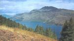
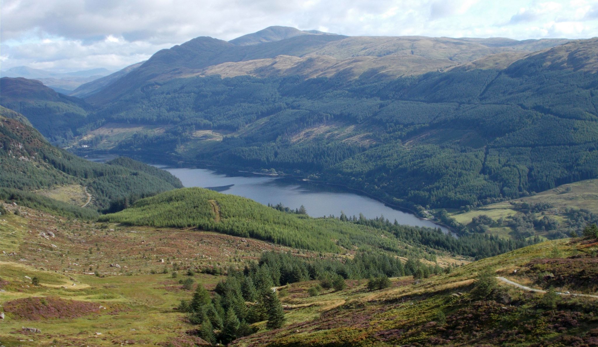
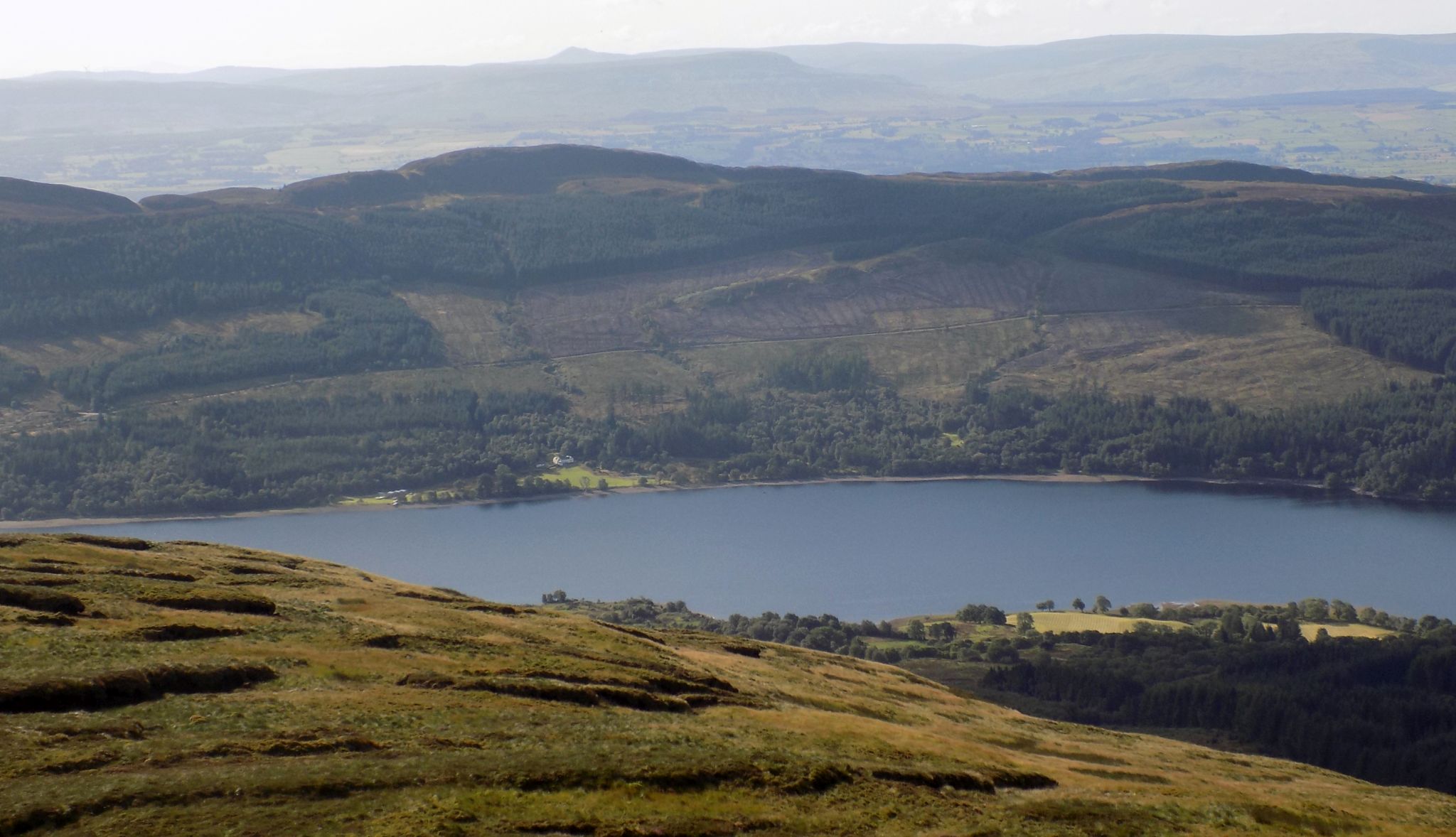
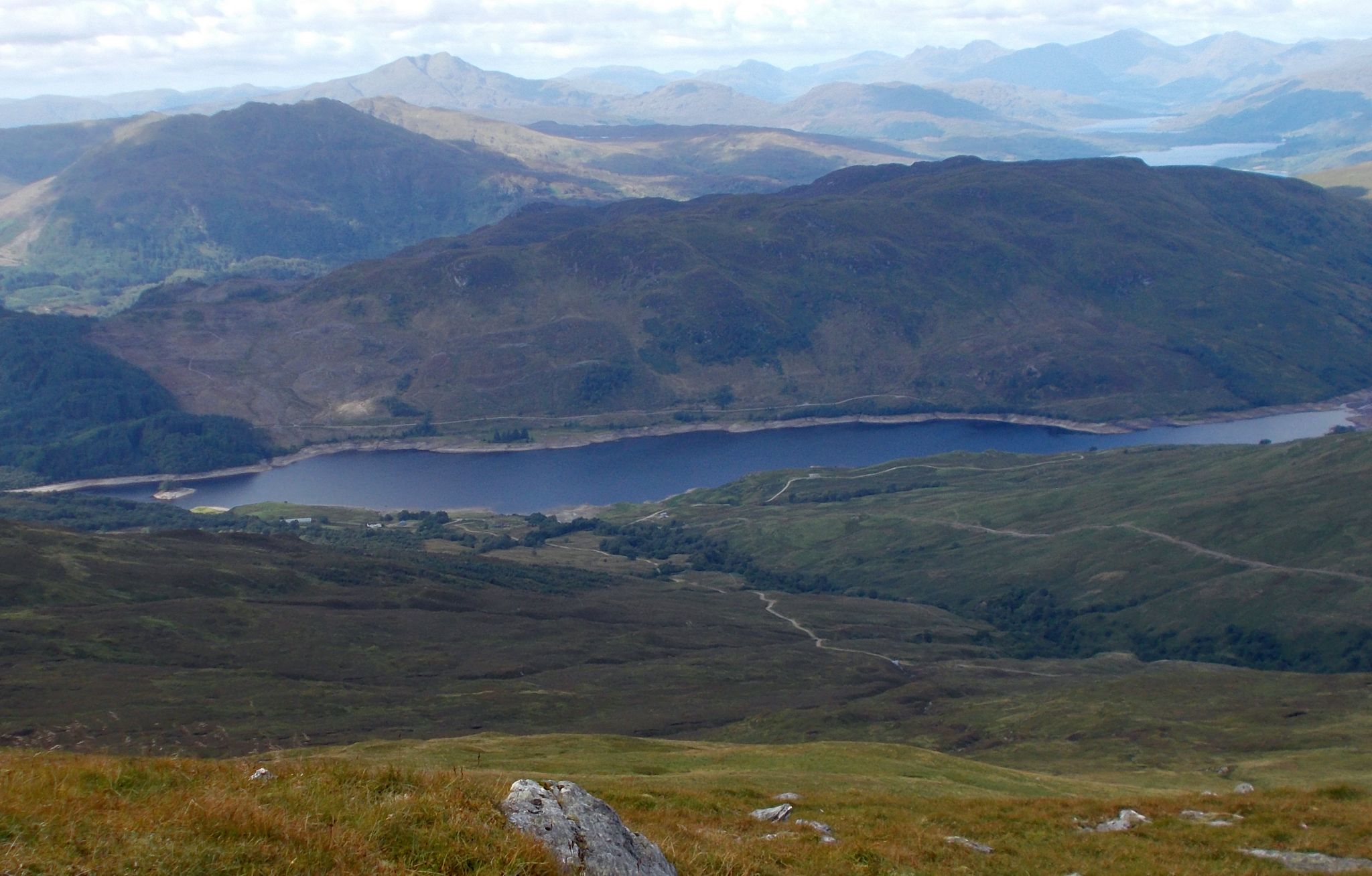
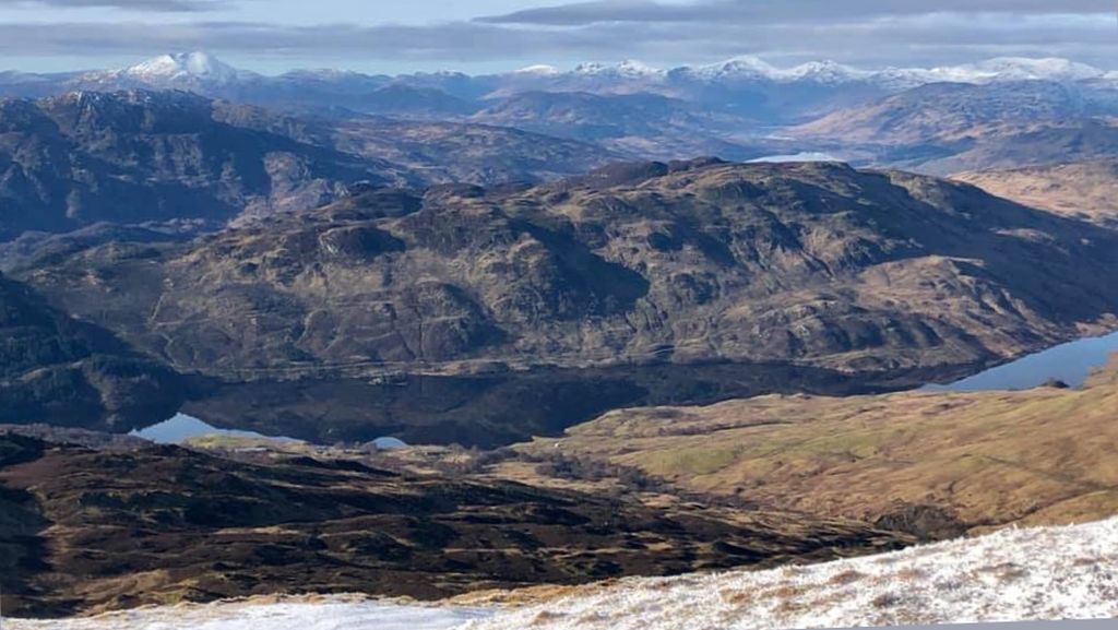
The summit offers extensive views to Stirling
Castle and the Wallace Monument; from here you can return by the
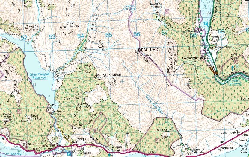
route of ascent or continue round and descend the Stank Glen.
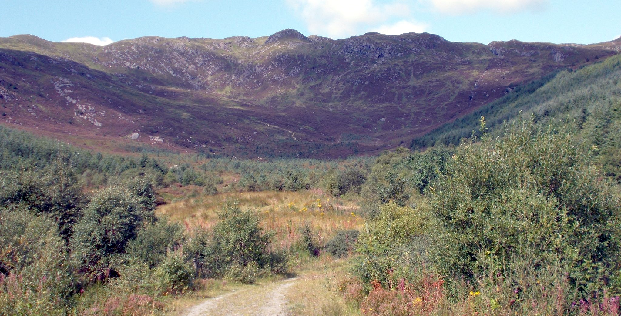
To continue, descend north-west along the summit ridge and follow an
old fenceline down the rock-strewn hillside. At the col below the
lochan, turn right and follow a muddy path to arrive at a fence and
stile back into forestry plantation land. A good path leads down to a
junction with a way marked circular path. Turn right and continue down
the glen past a junction with the left-hand loop path to arrive at a
track. Cross over and go down through the forest past a large
waterfall to emerge at a bend on a lower track. A path on the left-hand
side continues down and right to regain the track. Follow the road
rightwards back to the start.
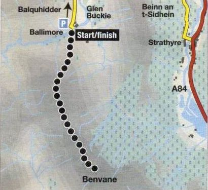
Route Map for Ben
Vane
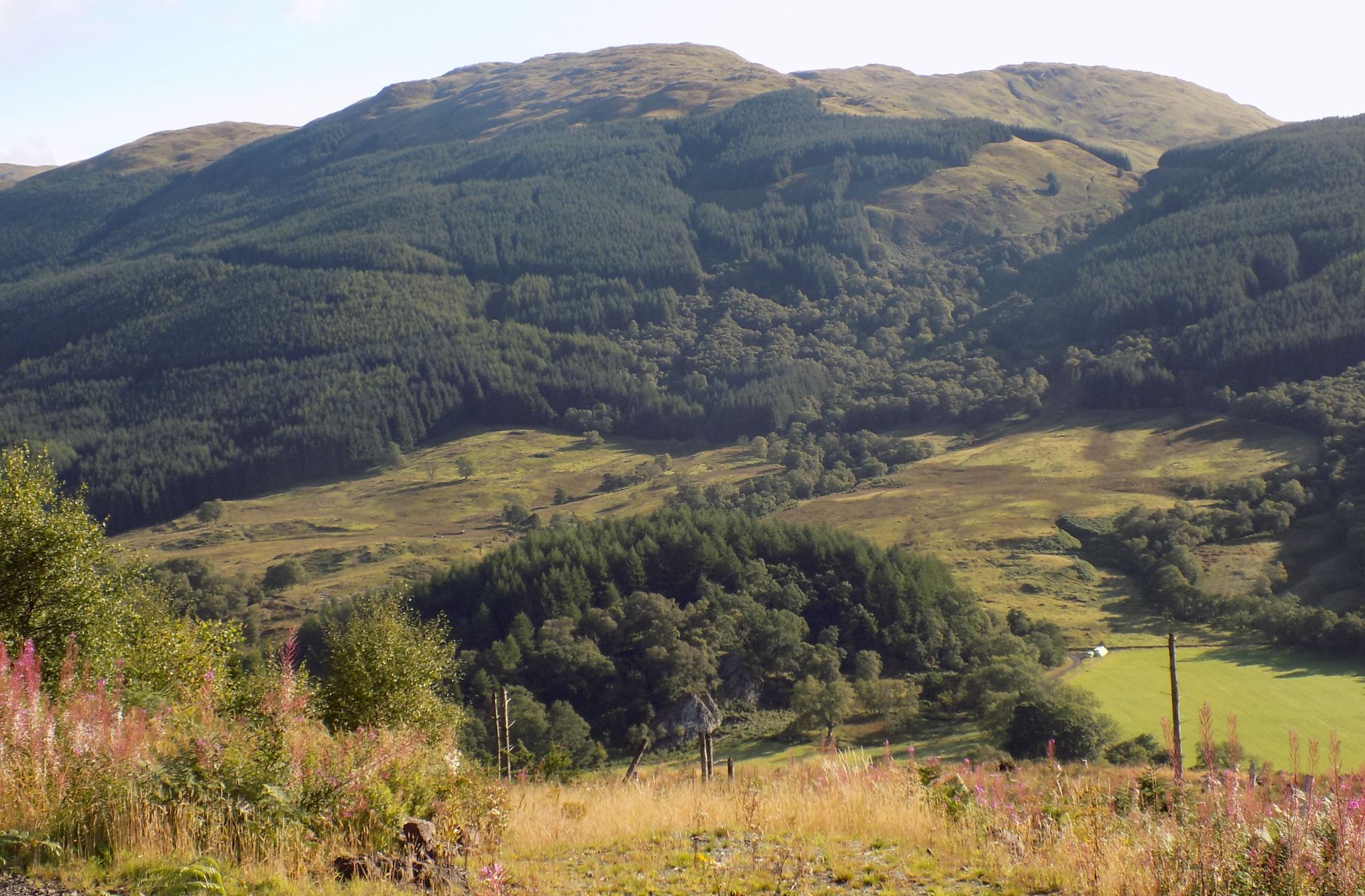
BEN VANE - ROUTE
DESCRIPTION:
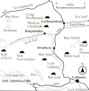
Location:
Balquidder
Map: OS Landranger 57 (GR529175 )
Distance: 5.5 miles ( 9km )
Time: 3.5hours
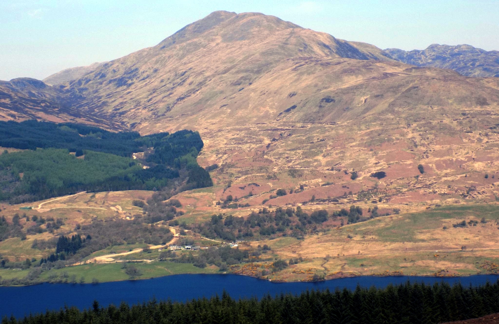
Terrain:| rough hill path Ben Vane perhaps sees more ascents from the
south via Brig O' Turk, or Ben Ledi. However, the ascent from the road
end at Ballimore in Glen Buckie to the south of Balquhidder is the
quickest and arguably the most scenic: perfect for a winter's day.
From Balquhiddar take the unclassified minor road south past the head of
Loch Voil, going right at a fork. and leave the car in a small parking
area just before the entrance to the farm at Baltimore. The road
surface is
potholed and uneven so care should be taken.
Walk across the bridge over the Calair Burn and at the right-of-way
signpost follow the rough path up to the right. This is signposted to
Brig O‘Turk via Glen Finglas. After 200 metres or so, go through the
right hand of two gates then break off from the right-of-way and climb
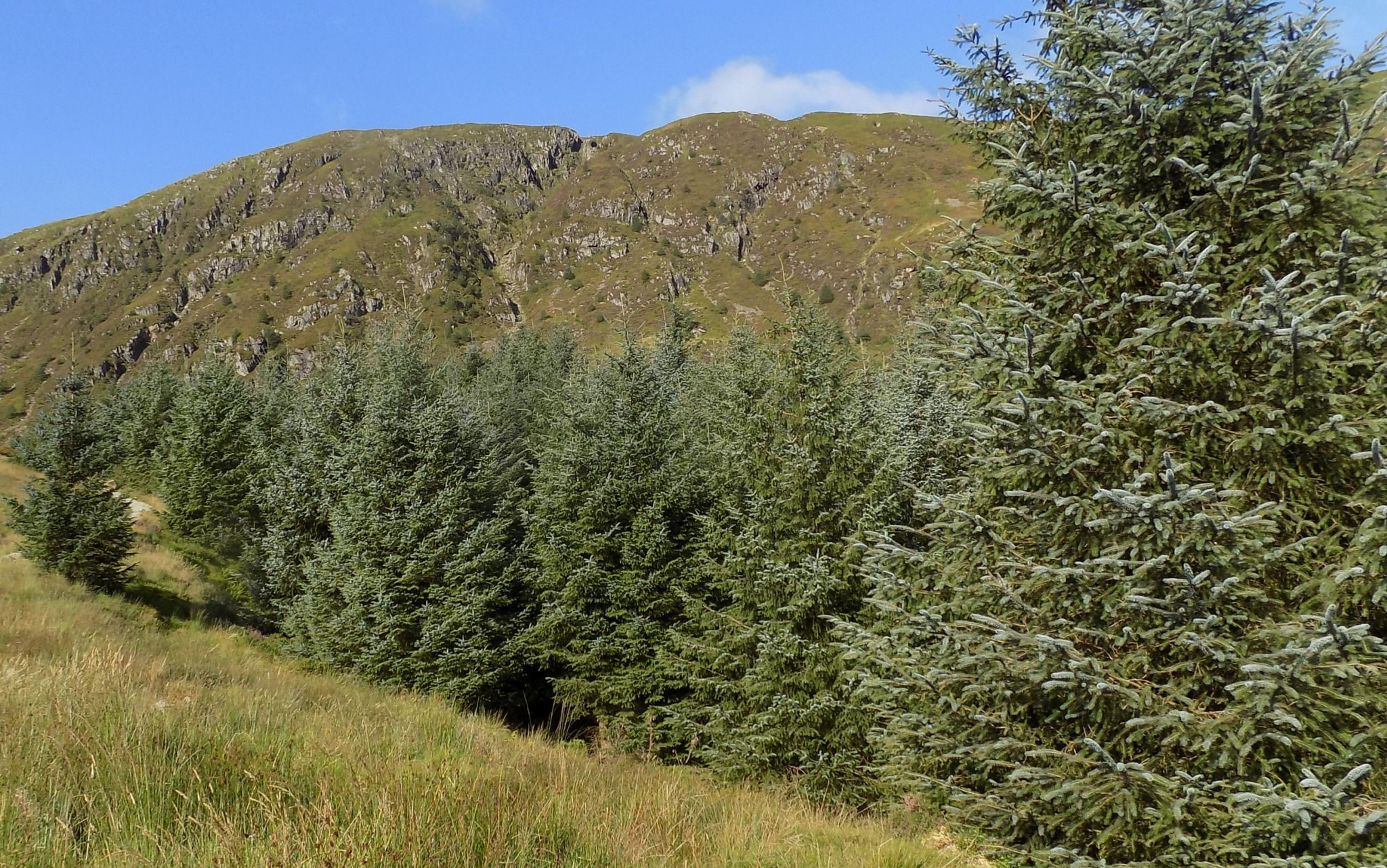
uphill beside a fence and a tiny burn on a rough all-terrain vehicle
track. Where the fence goes left, carry straight on up, passing well to
the west of a small forestry plantation. Continue up the slight ridge,
then swing on to the main northern ridge of Ben Vane.
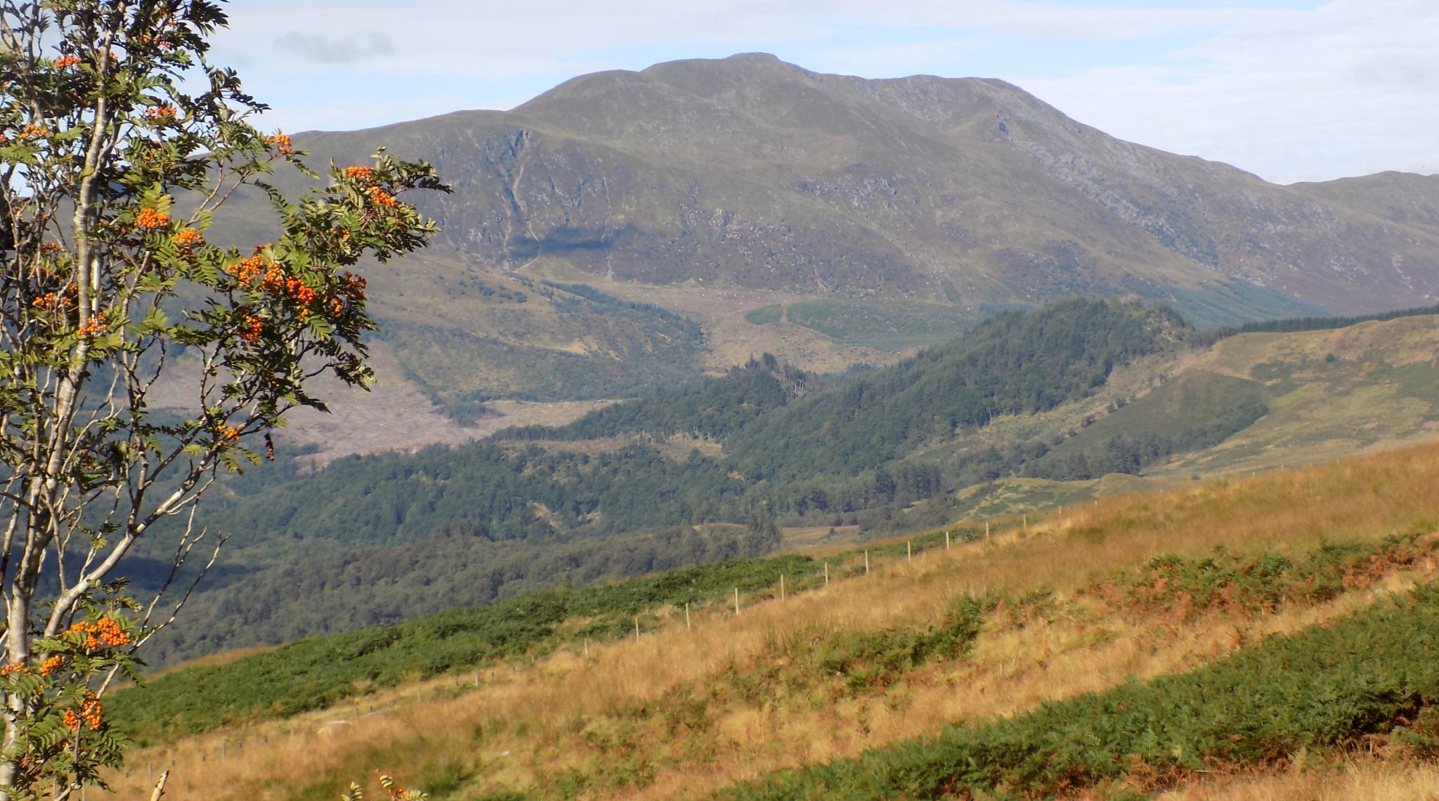
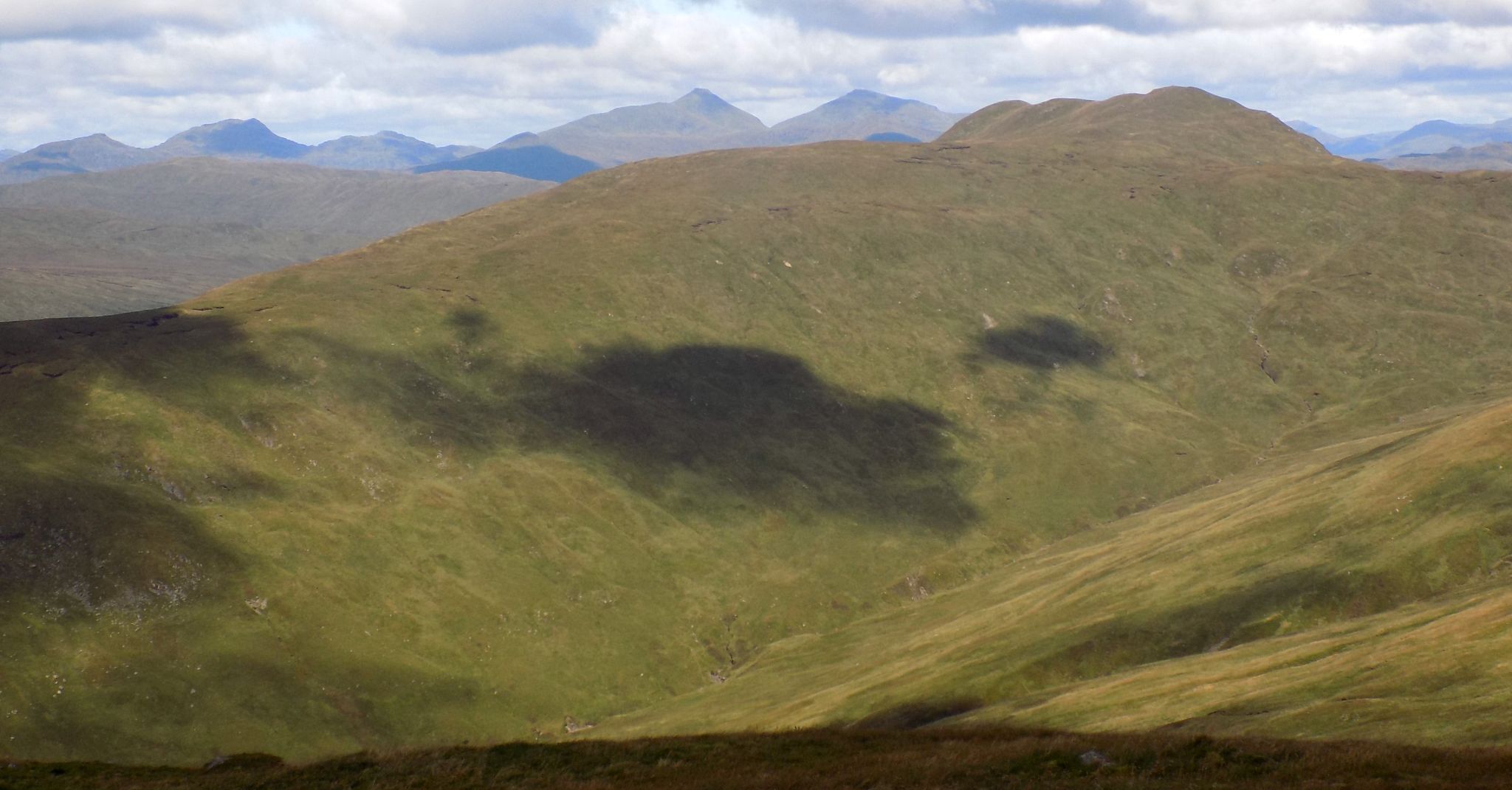
Height is gained quickly and fine views open up across smaller
neighbouring hills to the bigger Mtmros beyond. With the summit now in
sight ahead, continue along this easy ridge beside an old boundary
fence
which comes up from the west, then make the final steep climb on to the
summit of Ben Vane ( 821m ). Return by the route of ascent. It is
possible to
vary the return by cutting down left beside the fence to join the Brig
o’ Turk footpath at a small bealach. However, this is perhaps more of a
summer diversion and in winter the direct return, as well as being
surer and quicker. has the benefit of maintaining the fine views to the
north.


 :: Ben
Ledi
& Ben Vane Gallery
:: Ben
Ledi
& Ben Vane Gallery  :: Southern
Highlands
:: Southern
Highlands