  |
Burgh of BearsdenCastle Hill
|
  |
| |
Burgh of BearsdenCastle Hill
|
|
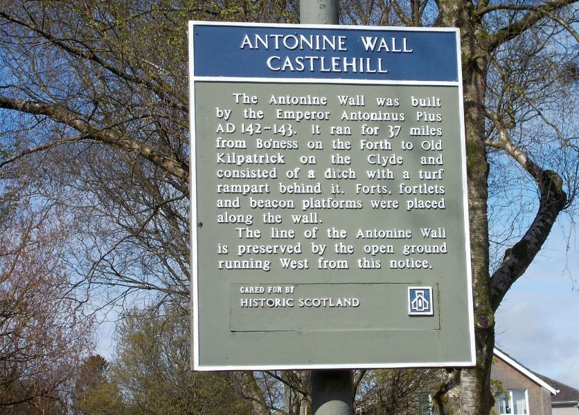 |
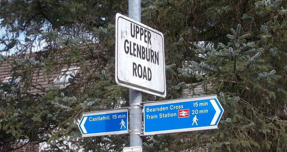
Signpost to Castle Hill |
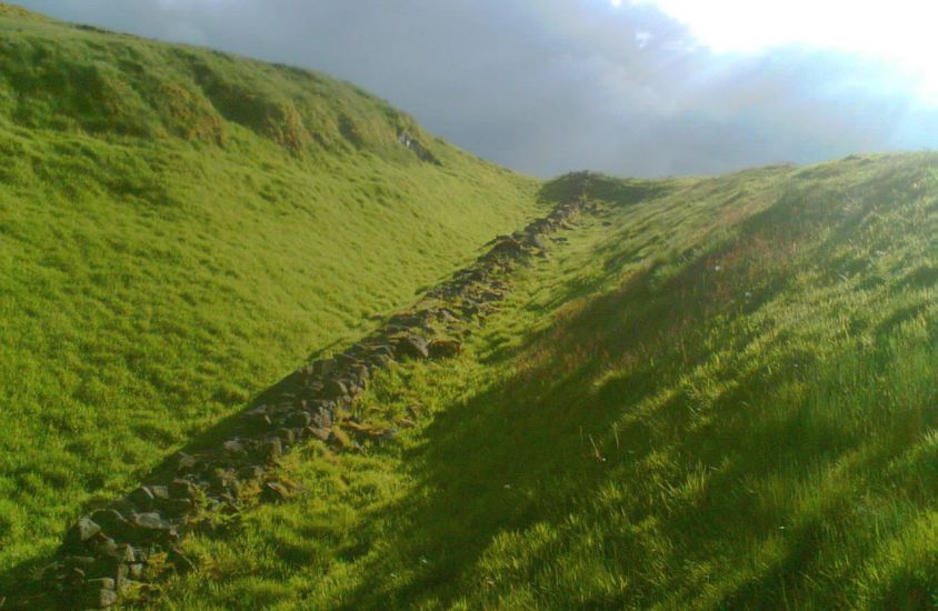
The line of the Antonine Wall on Castle Hill |
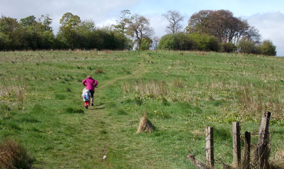
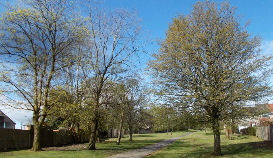
Path to Castle Hill |
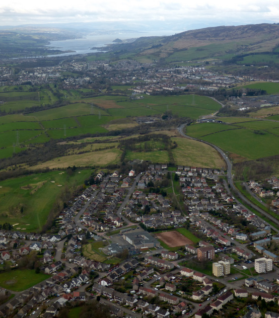
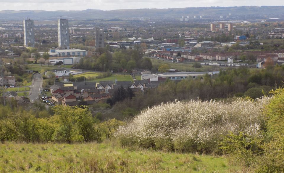
Aerial view of Castle Hill |
 |
 |
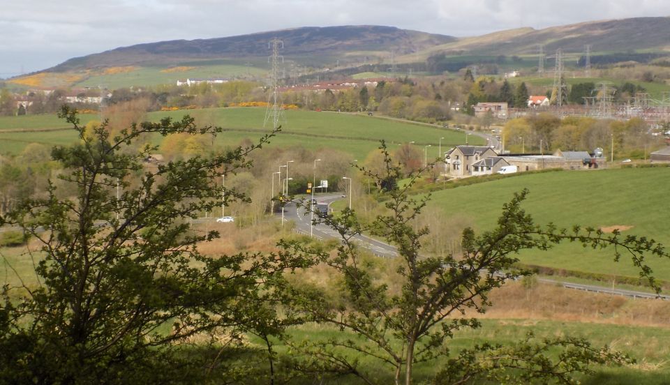 Kilpatrick Hills from Castle Hill |
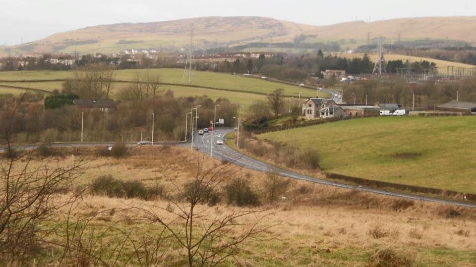 Kilpatrick Hills from Castle Hill |
 |
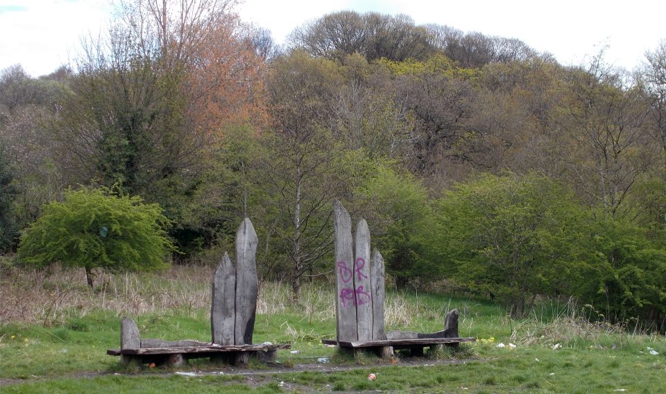 Antonine Wolf Bench beneath Castle Hill |
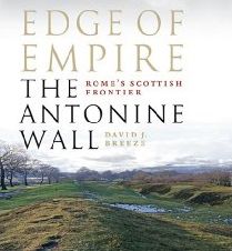
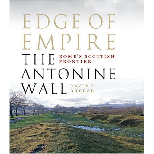 Edge of Empire - Scotland's Roman Frontier The
Antonine Wall
is a stone and turf fortification
built by the Romans across the central belt of Scotland to fend off Northern Scots tribesmen. The Wall was the North-West frontier of the Roman Empire and runs from Old Kilpatrick on the Forth & Clyde Canal to Bo'ness on the Firth of Forth. Sections of the wall can be seen in Bearsden, Kirkintilloch, Twechar, Croy, Bonnybridge, Falkirk, Polmont and Bo'ness. |
 As
the most advanced frontier construction of its time,
and as definitive evidence of the Romans' time in Scotland, the Antonine Wall is an invaluable and fascinating part of this country's varied and violent history. For a generation, from about 140 to 160 AD, the Antonine Wall was the NW frontier of the Roman Empire. Constructed by the Roman army, it ran from modern Bo'ness on the Forth to Old Kilpatrick on the Clyde and consisted of a turf rampart fronted by a wide and deep ditch. At regular intervals were forts connected by a road, while outside the fort gates clustered civil settlements. Antoninus Pius, whom the wall was named after, reigned longer than any other emperor with the exception of its founder Augustus. Yet relatively little is known about him. In this meticulously researched book, David Breeze examines this enigmatic life and the reasons for the construction and abandonment of his Wall. |
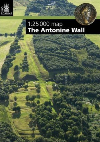
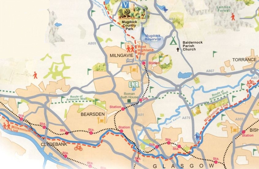
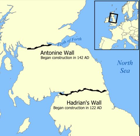 Map of the Antonine Wall |
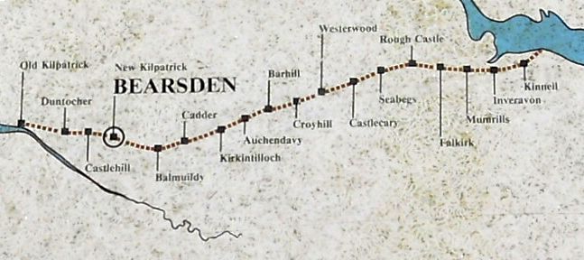 Route
Map
of the Antonine
Wall across central Scotland |
 The
Antonine
Wall across central Scotland |
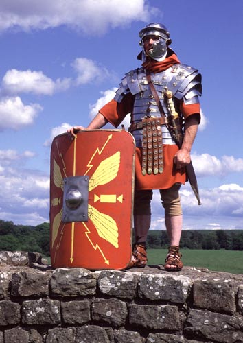 Roman Legionary |
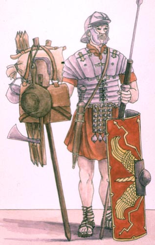
Roman Legionary |

Glencoe | Ben Nevis | Knoydart | Isle of Skye | Isle of Arran | The West Highland Way
The Eastern Highlands | The Central Highlands | The Southern Highlands | The NW Highlands