  |
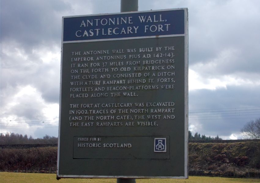
Antonine Wall Tollpark to Castlecary
|
  |
| |
Antonine Wall Tollpark to Castlecary
|
|
Photographs of a circular walk from Wyndford Lock
on the Forth & Clyde Canal at Castlecary
via Cumbernauld
and along the Antonine Wall to Tollpark
 Wyndford Lock on the Forth & Clyde Canal |
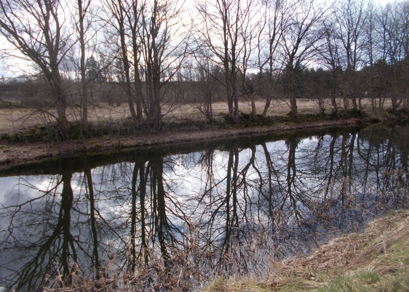
From Wyndford Lock to Castlecary on the Forth & Clyde Canal |
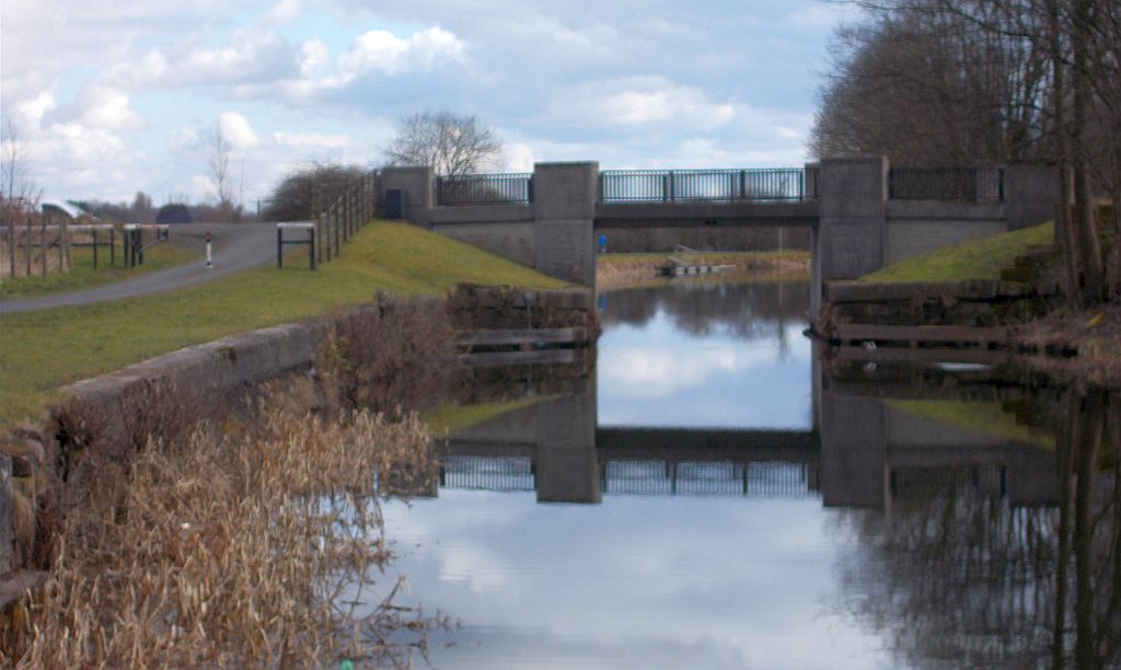
Bridge
over the Forth & Clyde
Canal at Castlecary |
Signpost
on the Antonine
Wall at Castlecary |
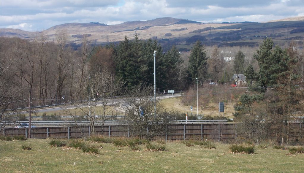
View
north from the Antonine Wall at Castlecary |
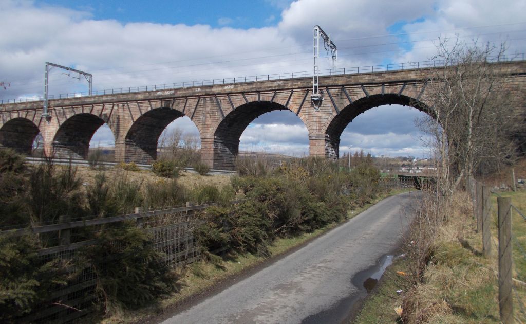
Castlecary Railway Viaduct |
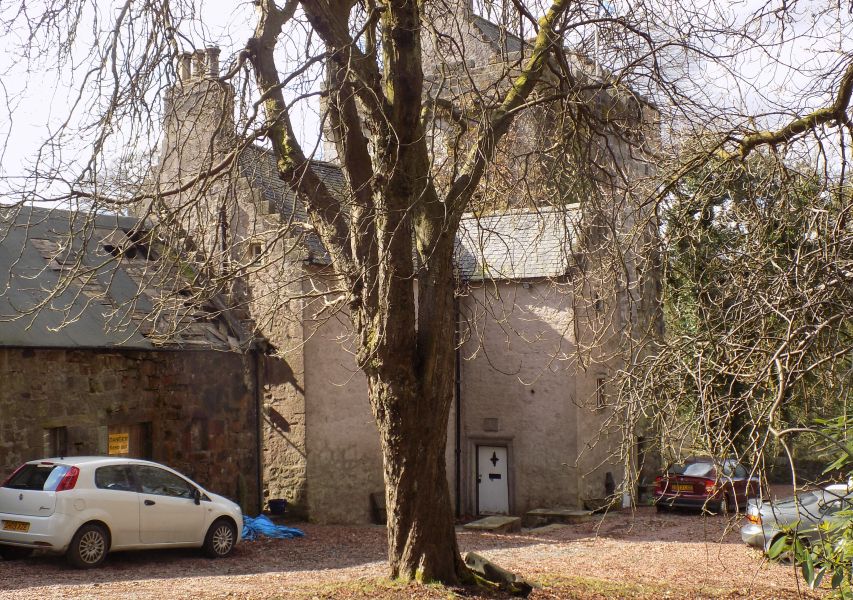
Castle Cary - a fifteenth century tower house |
from Walton Farm |
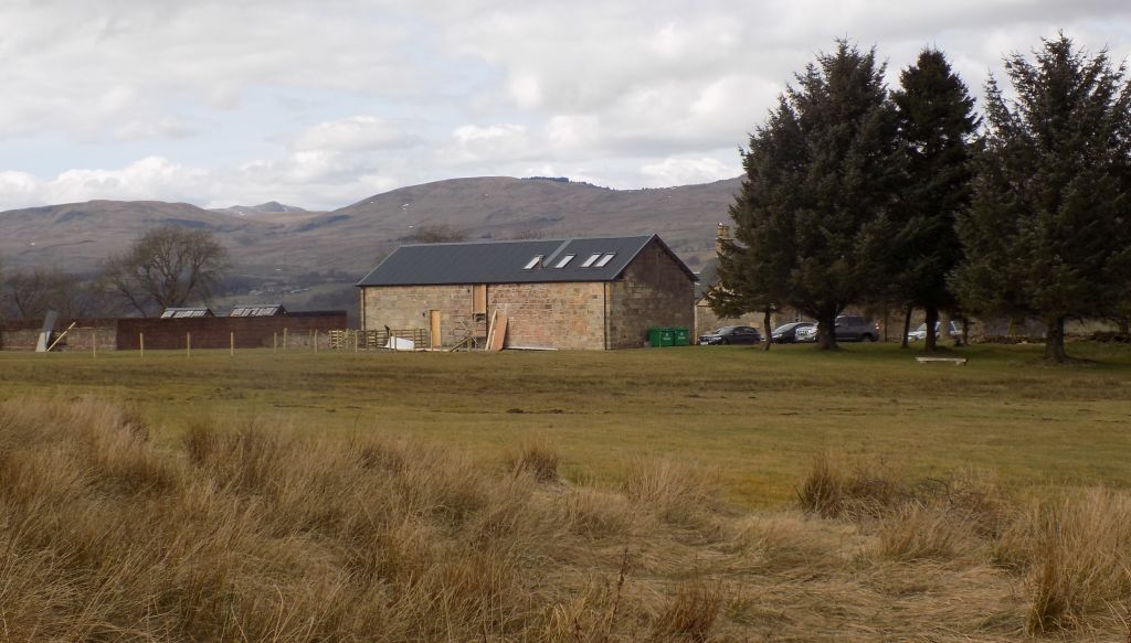
Walton Farm |
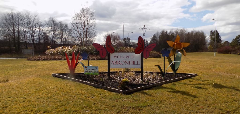
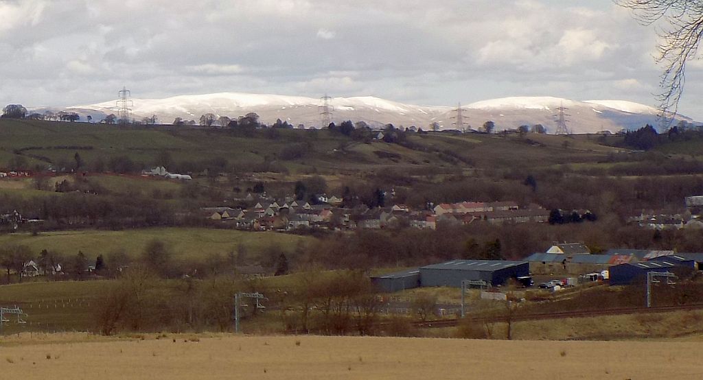
Abronhill in Cumbernauld |
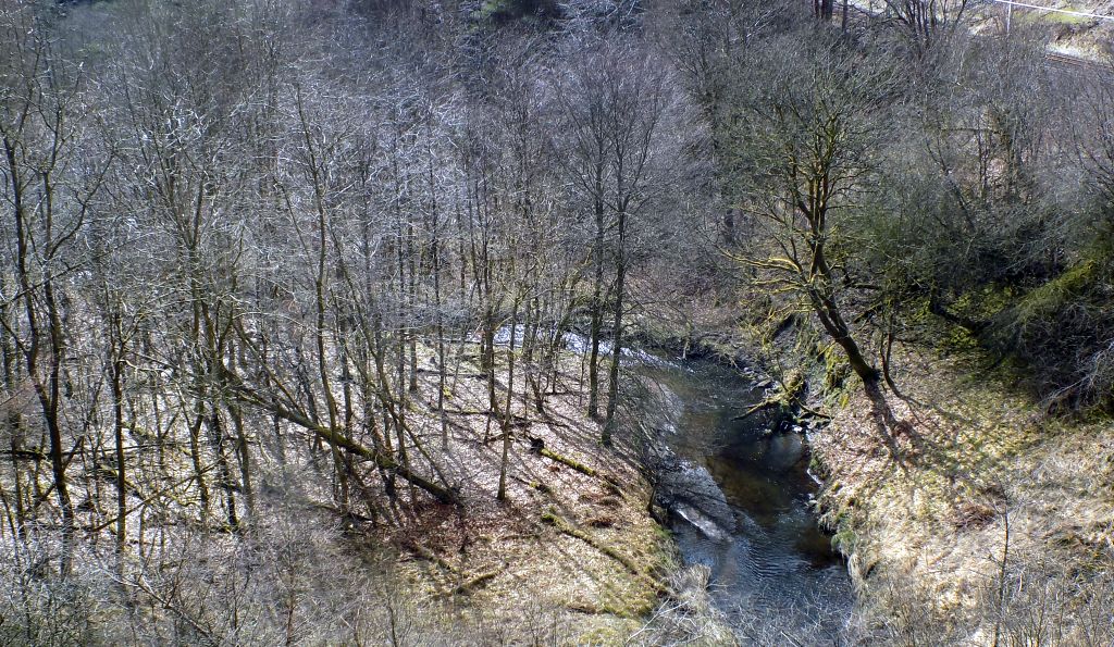
Red Burn at Cumbernauld |
Village Hall Community Centre |
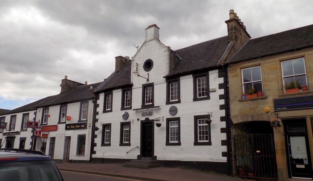 The Circle Public House |
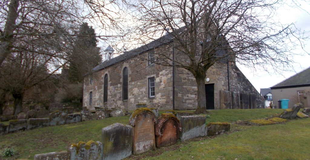
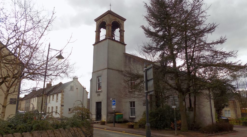
Old Parish Church |
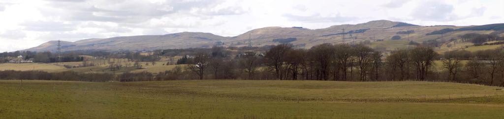
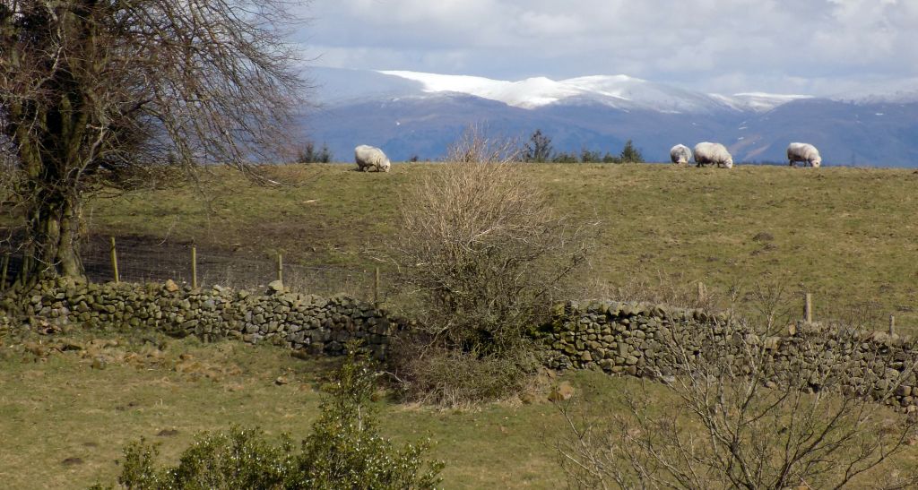
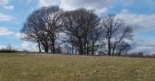
Kilsyth Hills from site of Westerwood Fort on the Antonine Wall |
from route of the Antonine Wall at Tollpark |
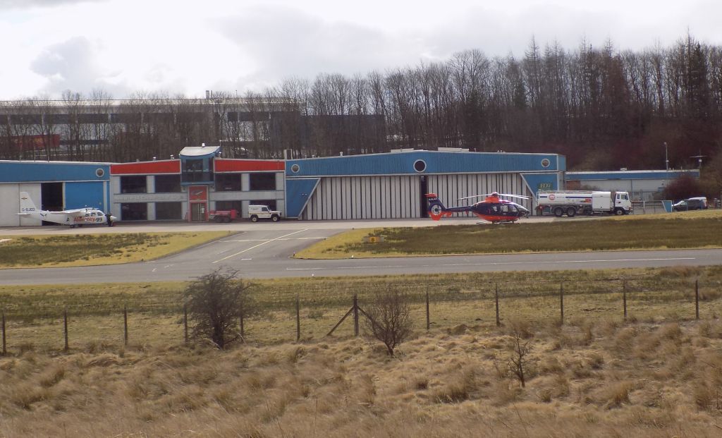
Airport
at Cumbernauld from
route of the Antonine
Wall |
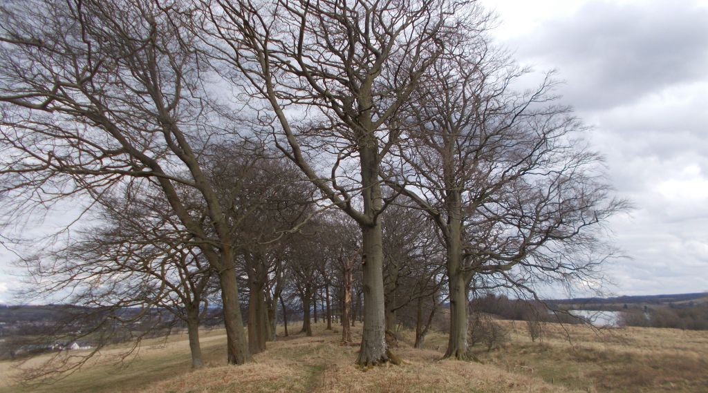
Avenue
of trees along route of
the Antonine
Wall at Tollpark |
|
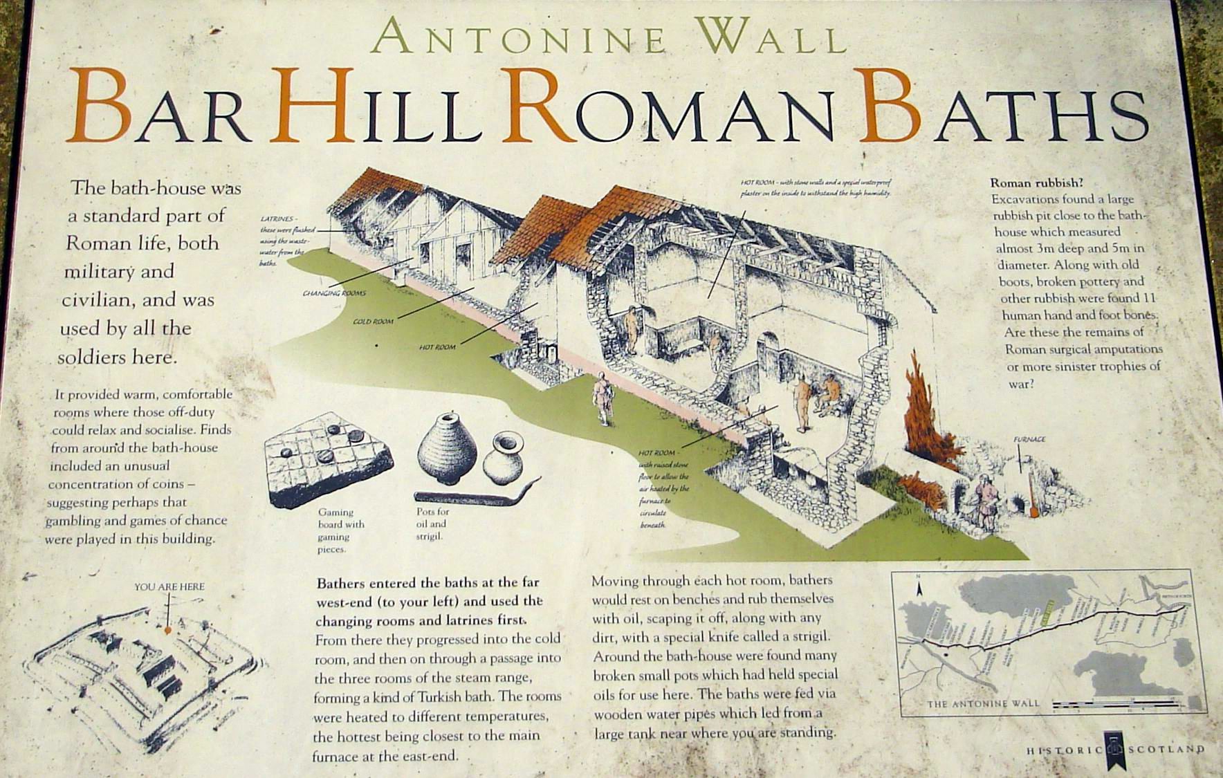
Antonine Wall information board at Tollpark at Cumbernauld |
|
Wyndford
Lock on the Forth & Clyde Canal |
|
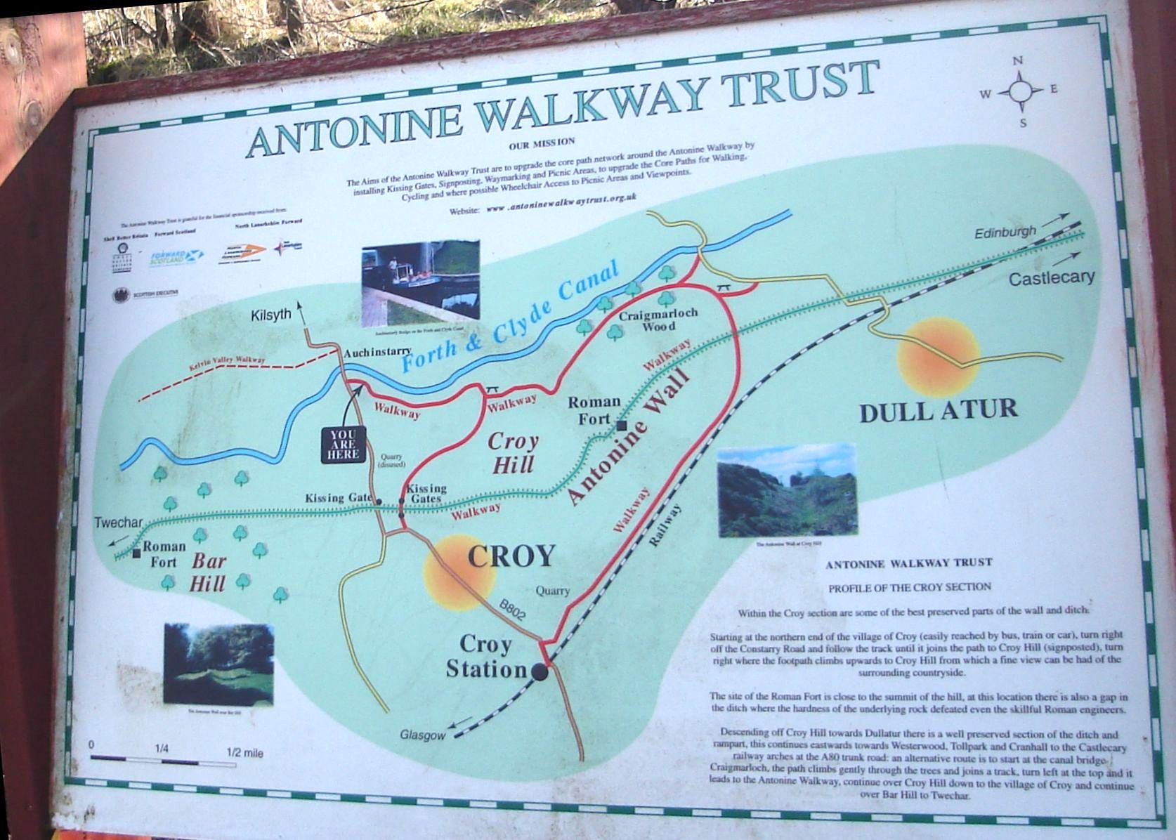
Map
of the Antonine Wall around Croy Hill |
|
Map
of the Antonine Wall at Castlecary near Cumbernauld |
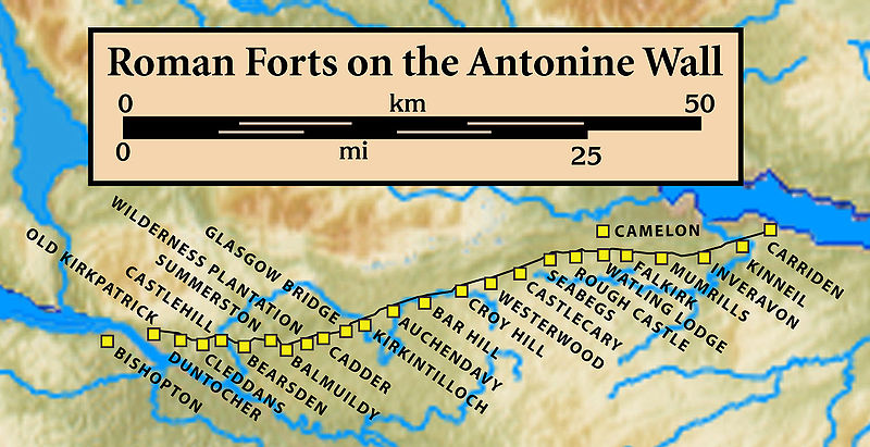 Map of
Roman Forts
on the Antonine Wall |
 ::
Croy
- Tollpark
Gallery
::
Croy
- Tollpark
Gallery 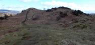 ::
Antonine
Wall
Gallery
::
Antonine
Wall
Gallery 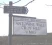 :: Forth
& Clyde Canal Gallery
:: Forth
& Clyde Canal Gallery 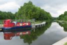
Glencoe | Ben Nevis | Knoydart | Isle of Skye | Isle of Arran | The West Highland Way
The Eastern Highlands | The Central Highlands | The Southern Highlands | The NW Highlands