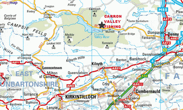
Location
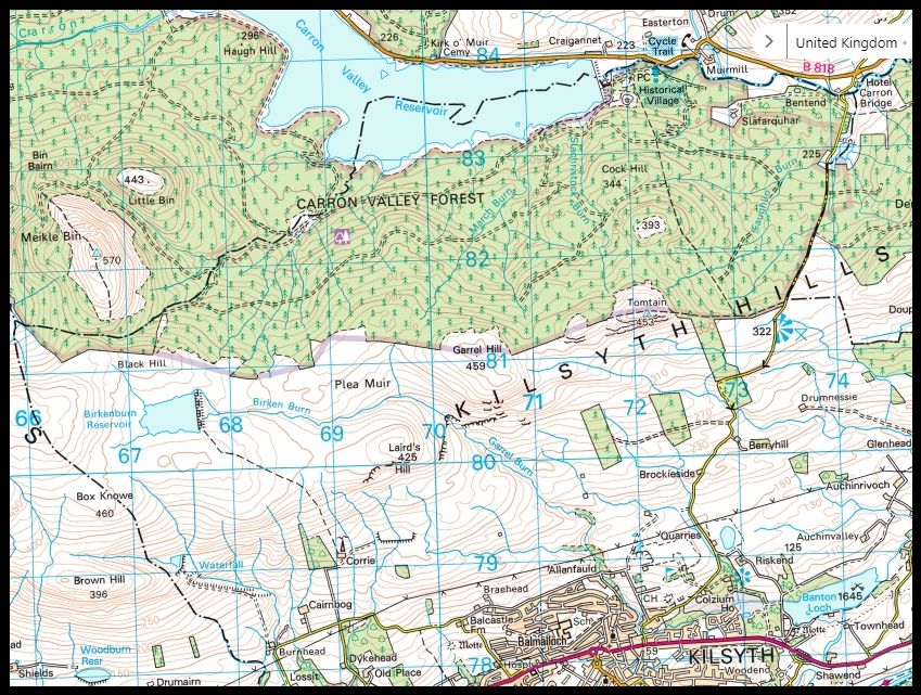
Map for Carron Valley
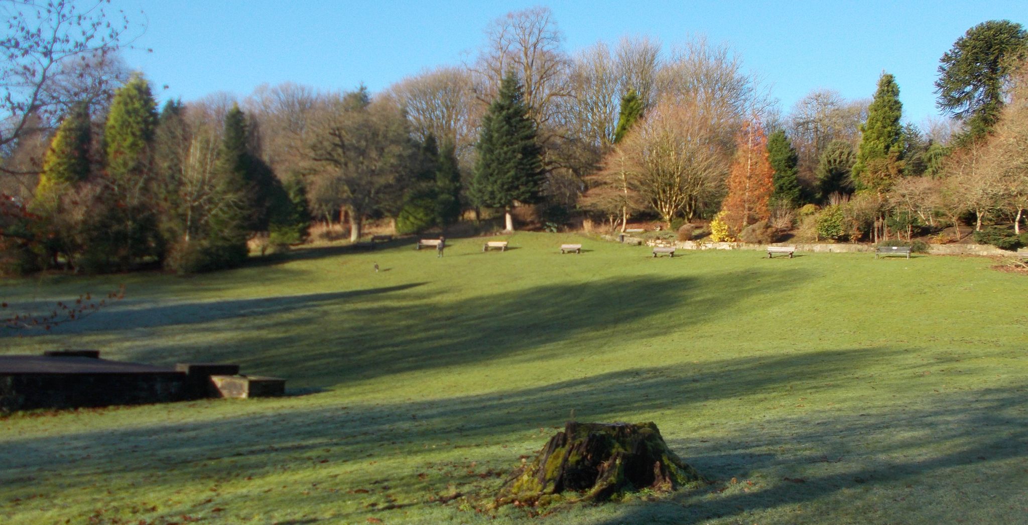
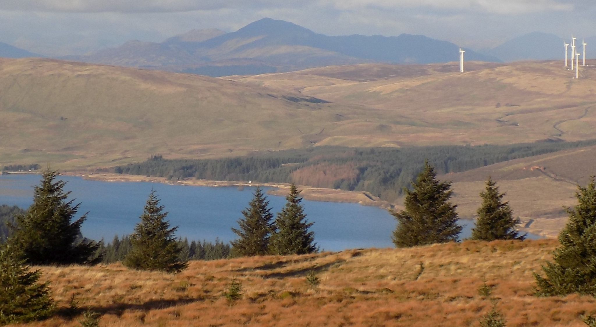
Reservoir and Tomtain
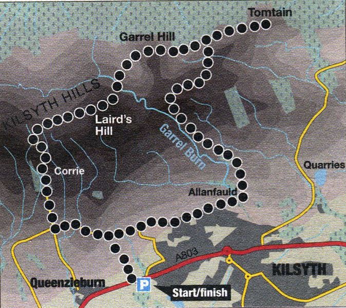
Route
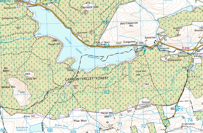
Map of Tomtain
ROUTE DESCRIPTION - GARREL HILL &
TOMTAIN:
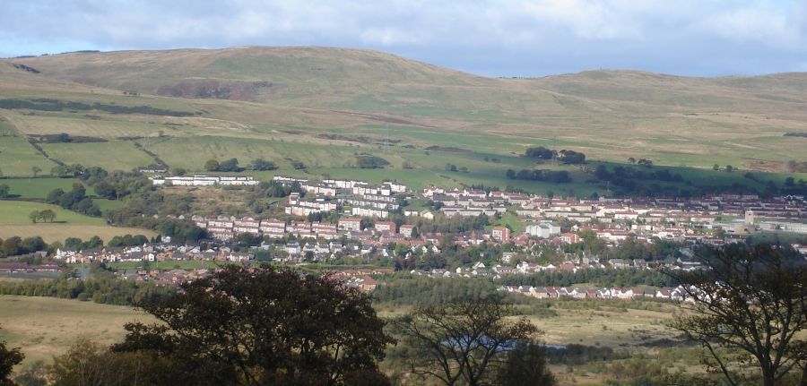
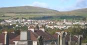
Location: Kilsyth
Map: OS
Landranger 64 ( GR70481 1 )
Distance: 9.5
miles ( 15.5km )
Time: 5 hours 20
minutes
Terrain: paths;
some signposts
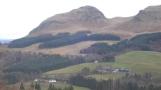
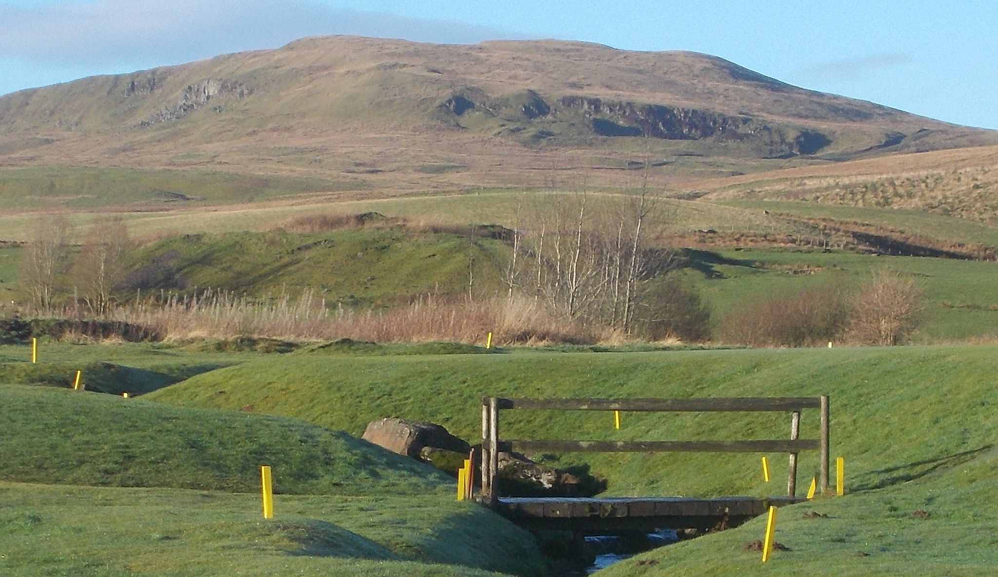
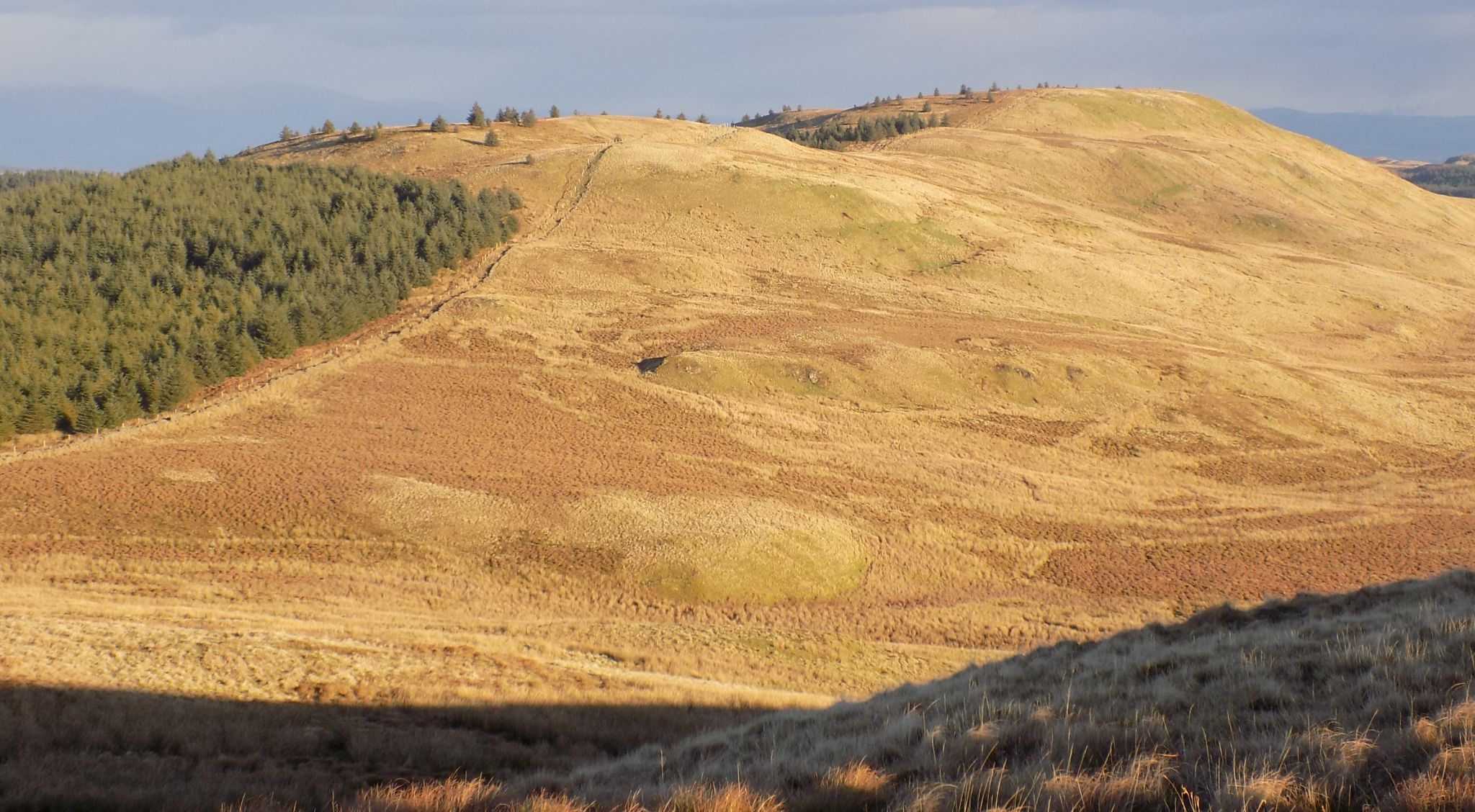
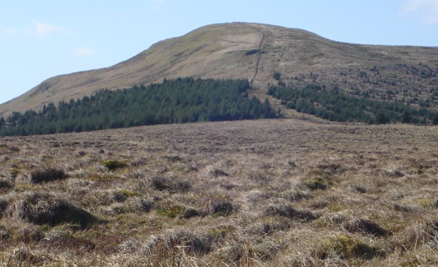
Garrel Hill and
Tomtain are the principal summits of the Kilsyth
Hills at the very eastern end of the Campsie Fells. At less than 1640ft
( 500m ) they are neither high nor particularly prominent, but they do
offer an excellent walk. The going can be rough and wet underfoot and
good navigation skills are important in poor visibility.
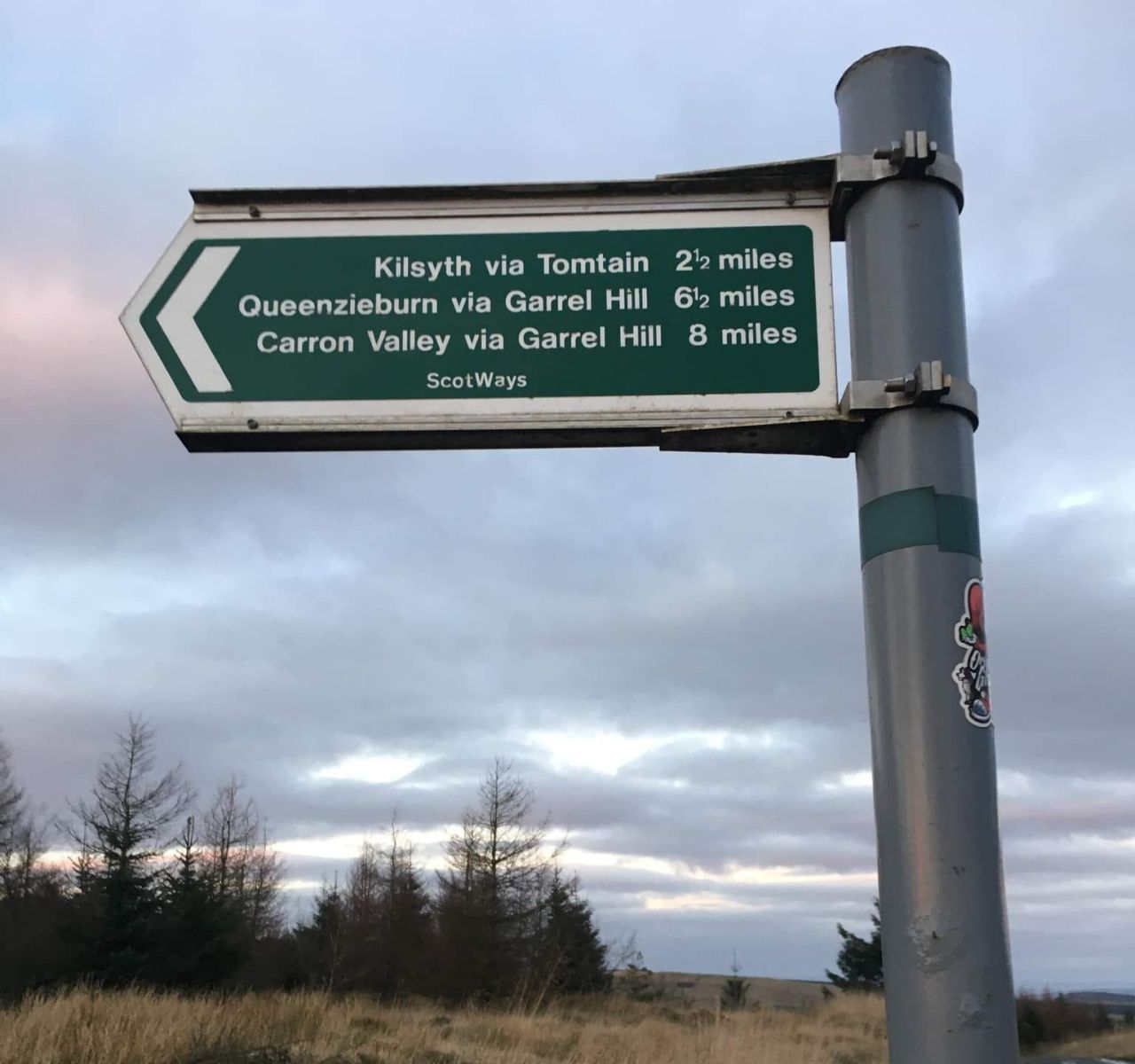
The best
starting place is a section of old road on the A803 at the western side
of Kilsyth. Follow the verge of the main
road towards Queenzieburn to an access road on the right signposted
Ambrae Farm Steadings. Leave this straight ahead for a track and follow
it through three fields to a country road. Follow this left to a
junction with a track on the right signposted footpath to hill. As this
swings right to Corrie, go through a gate in the wall into woodland.
Ascend via pedestrian gates to the top and continue to an old gate.
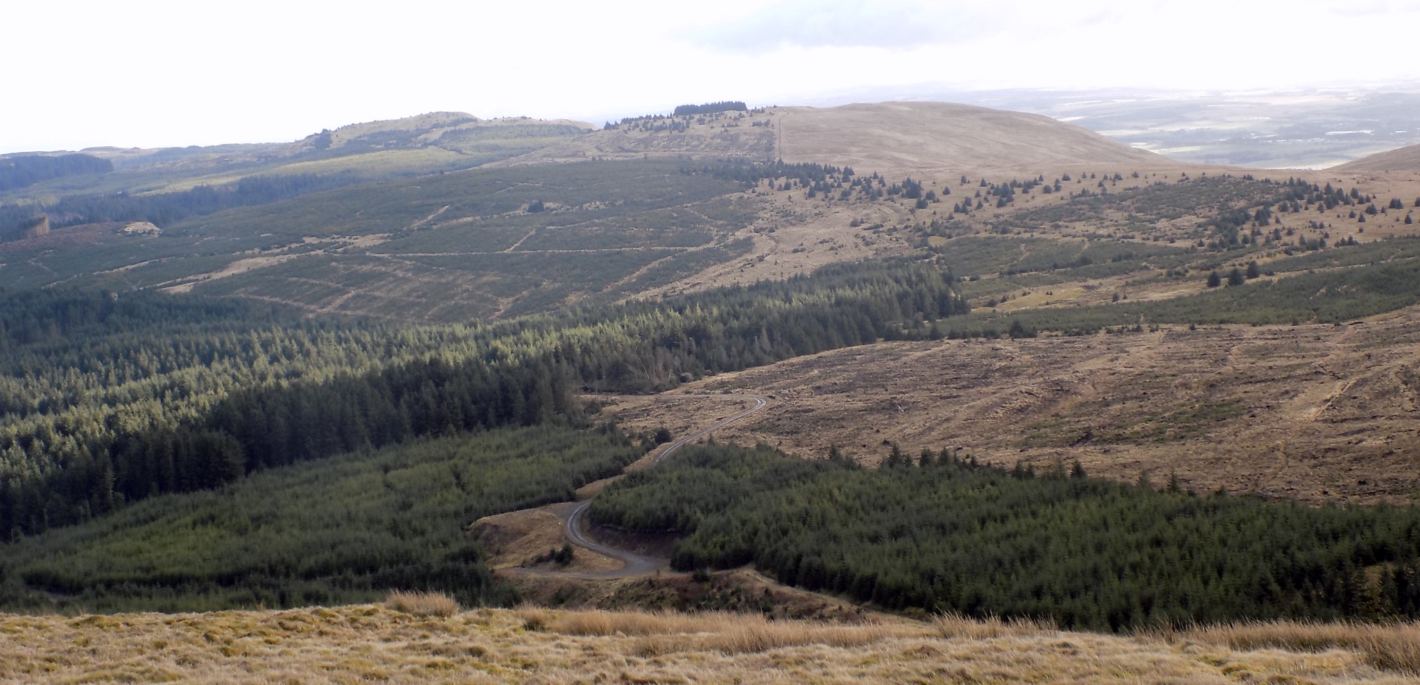
Cross this rightwards to another gate and a track. Climb the track to
open hillside, then leave it up and right, passing old metal water
butts and on through a collapsed fence, aiming for the higher ground
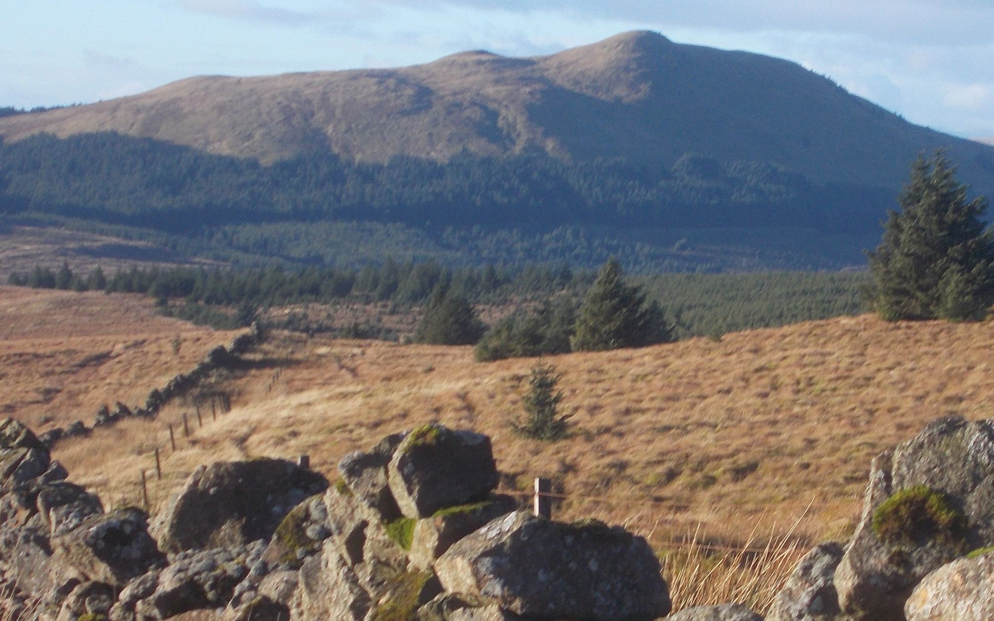
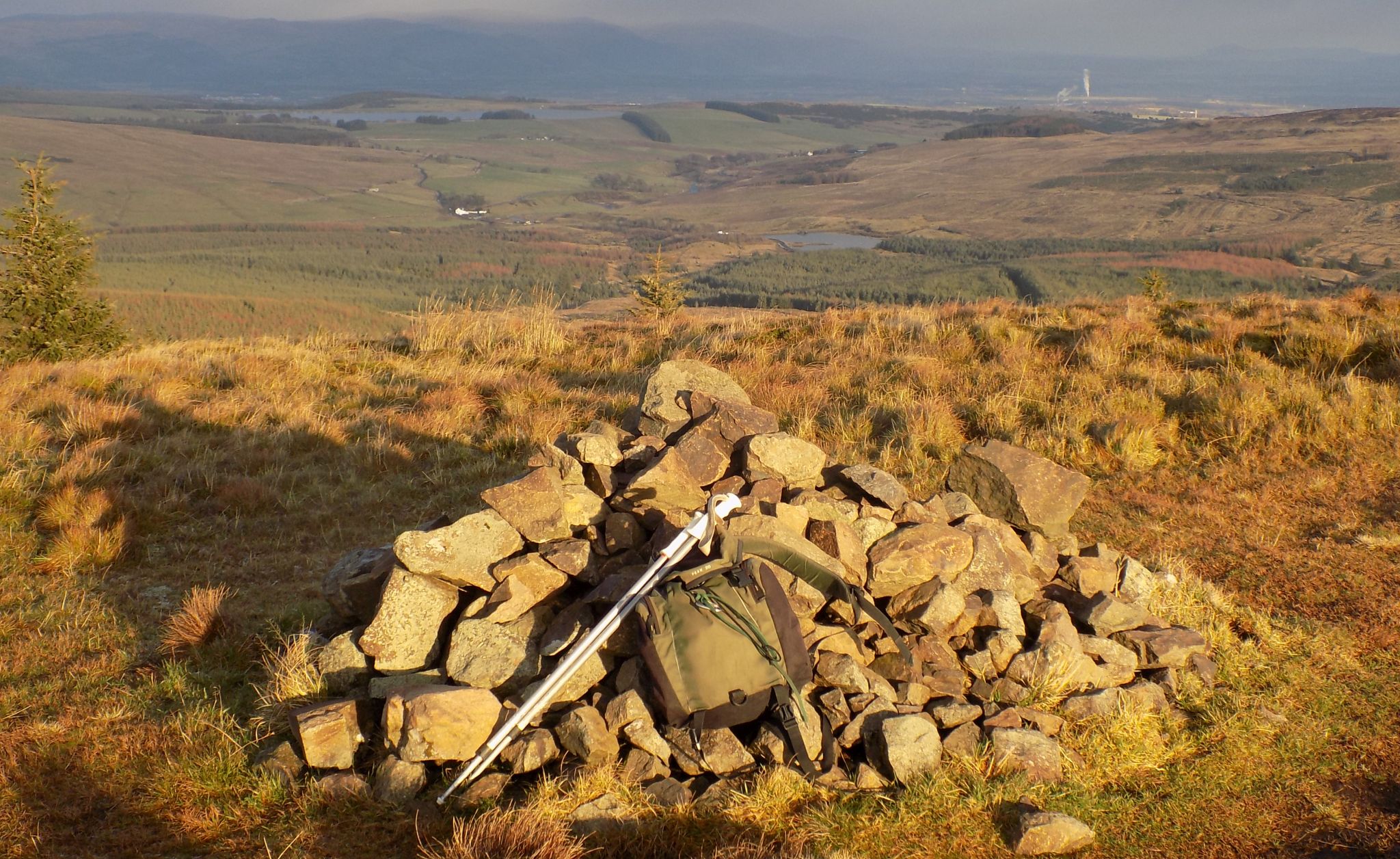
leading to Laird’s Hill. This is rounded
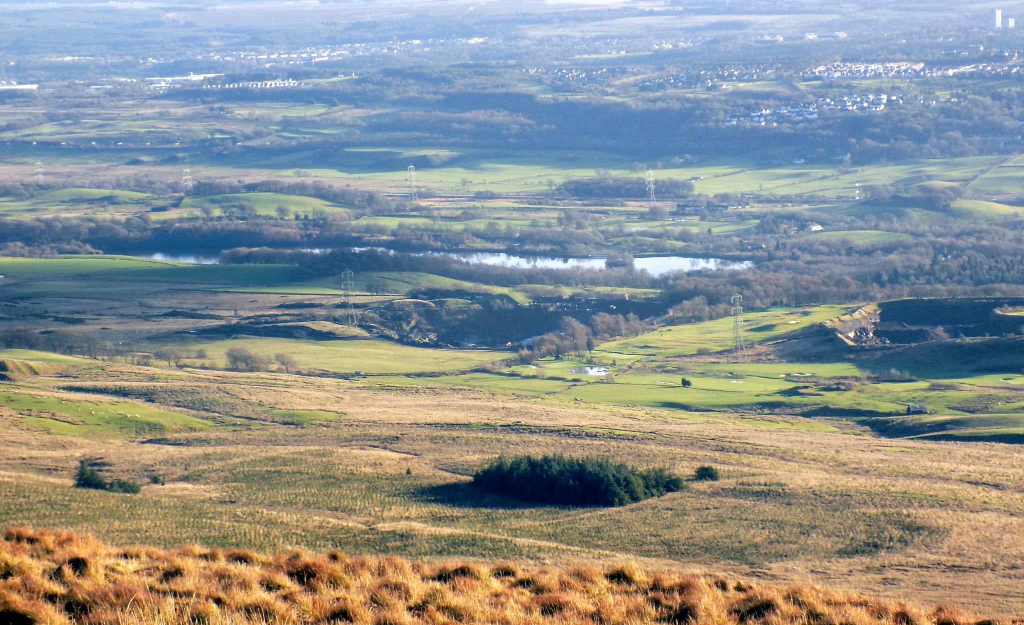
and unmarked, but there are fine views north to Meikle Bin and the Southern Highlands and south
from Paisley to Edinburgh.
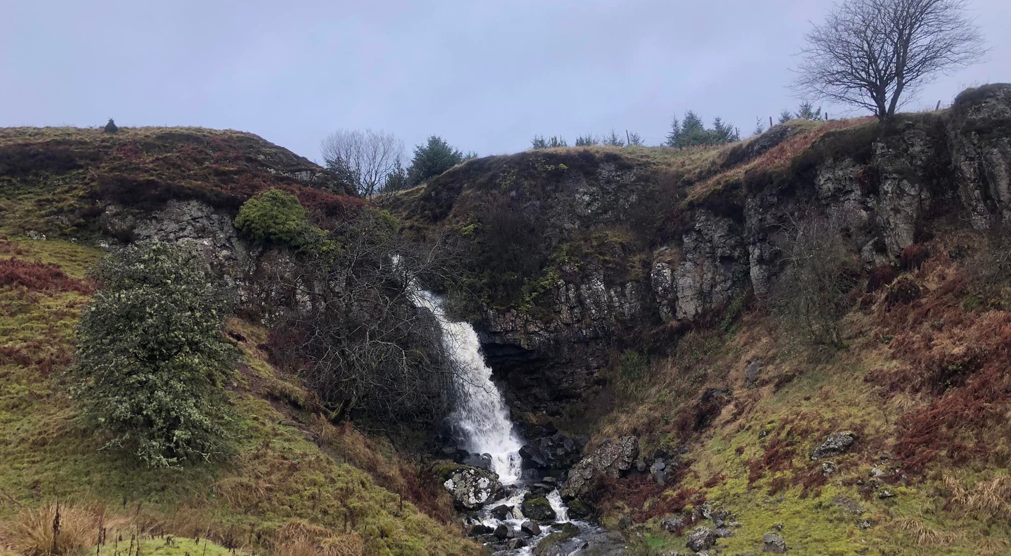
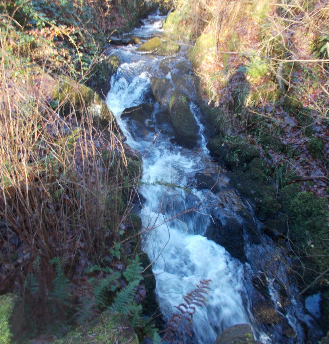
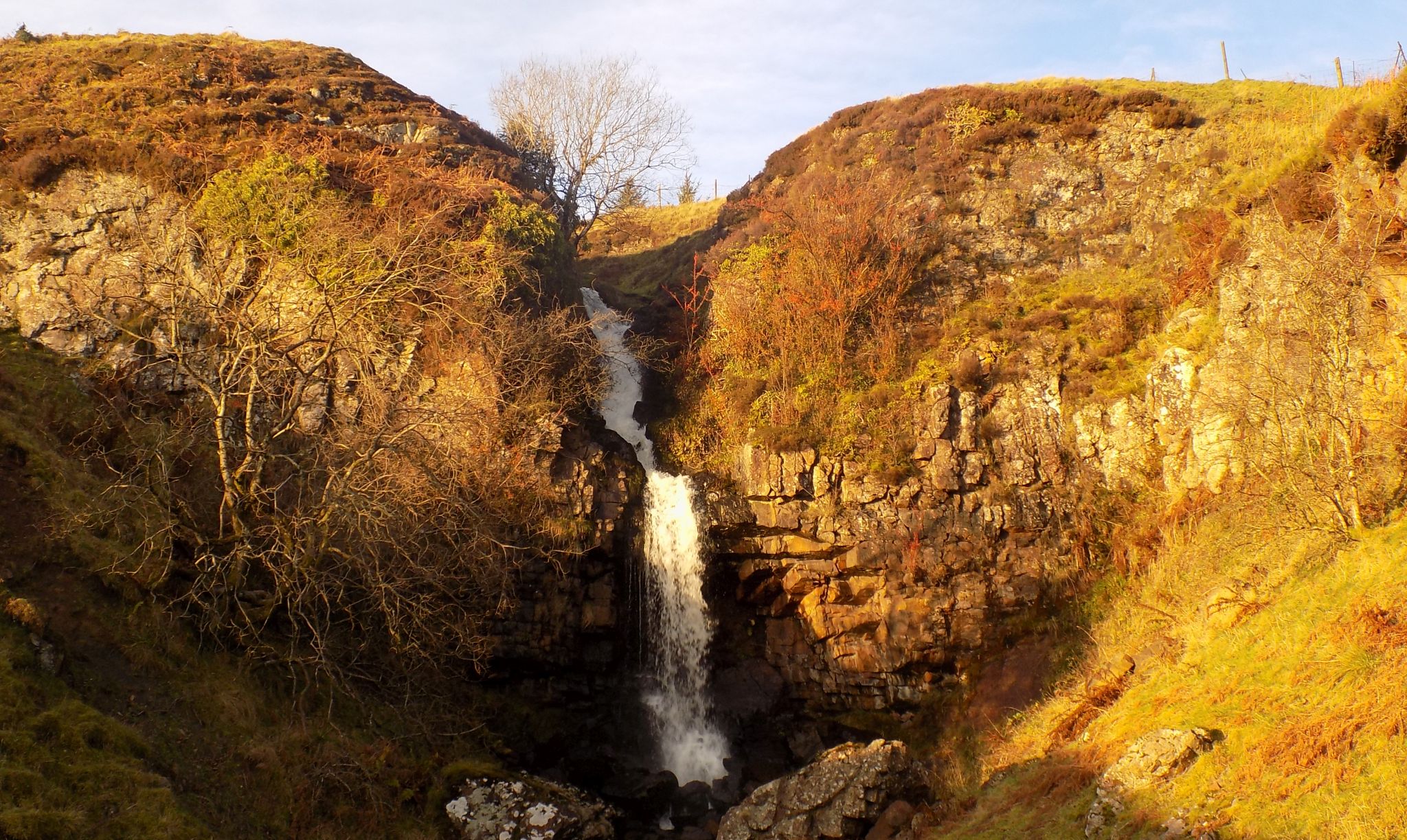
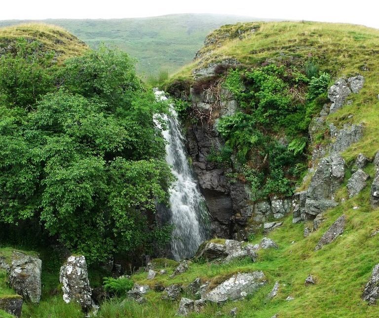
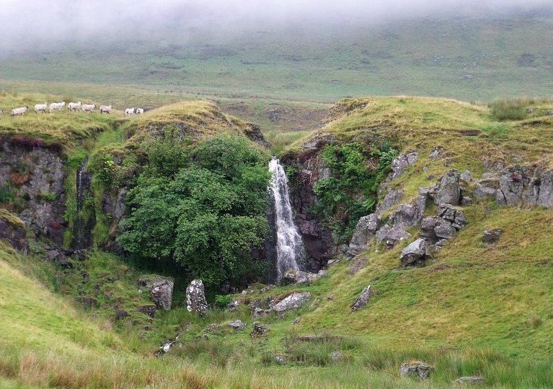
Descend to the
Garrel Burn and cross the old wooden bridge with great care. Head right
a short distance to a gate in the fence. Ascend then swing left to a
wall and a path leading to the top of Garrel Hill (1505ft / 459m).
Descend towards Tomtain on the right
side of the wall. When you reach a crossing fence at the low point,
cross to the left side of the wall.
On the left
below Tomtain on the woodland edge lie two overgrown cairns, said to
mark the graves of travelling hawkers known as chapmen, one of whom
murdered the other and was buried alongside his victim after being
hanged. From
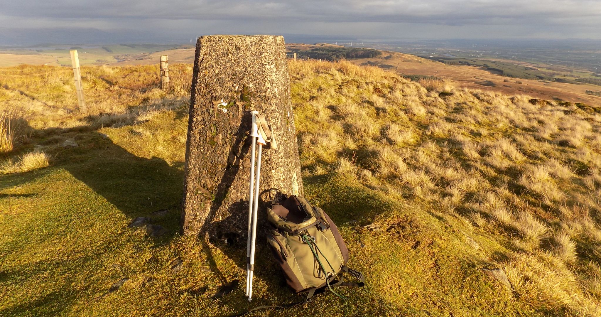
the summit of Tomtain ( 1486ft / 453m ), enhanced by a trig point and
panoramic views east, retrace your steps to the “crossing fence” and
follow its right side downhill towards Kilsyth
to gain an ATV track leading to a metal gate in a Wall. Don’t go
through the gate ( a vast marsh lies, beyond ), but follow it west to
the drier southern flanks of Garrel Hill. Pass easily through
the wall to tracks through fields and pasture above the Garrel Burn to a
stile and a farm track. Follow the track down right and over the Garrel
Burn to a track junction at Allanfauld farm. Keep right on the track
behind the
farm and the houses beyond to a country road. Descend this left to a
path on the right with barriers, which leads round to a bridge on the
old road and a right turn back to the parking area.


 :: Dumgoyne
& Campsie Fells
:: Dumgoyne
& Campsie Fells