|
Clyde Walkway Crossford to Falls of Clyde
|
  |
| |
Clyde Walkway Crossford to Falls of Clyde
|
|
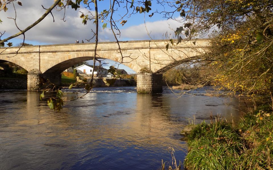
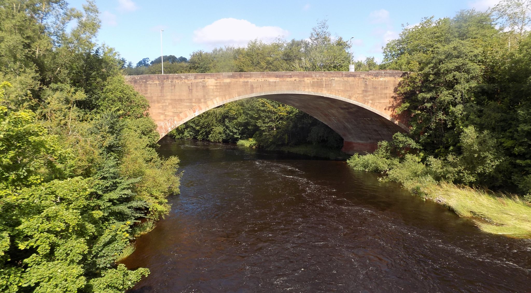
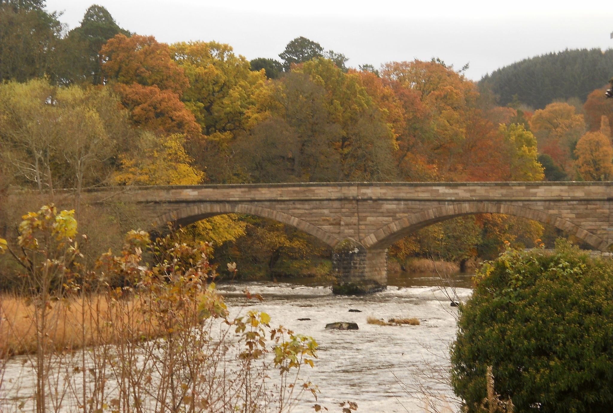 Road
bridge over the River Clyde at Crossford Village
The bridge was built in 1793 and is a "B Listed" structure Crossford Village is on the Clyde Valley Tourist Route |
 |
 |
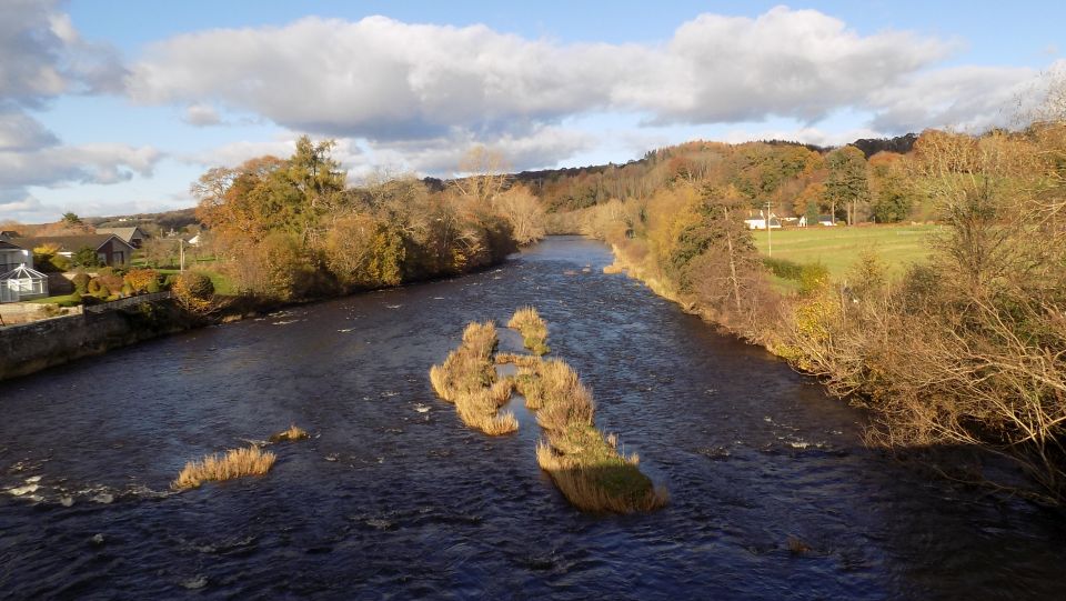
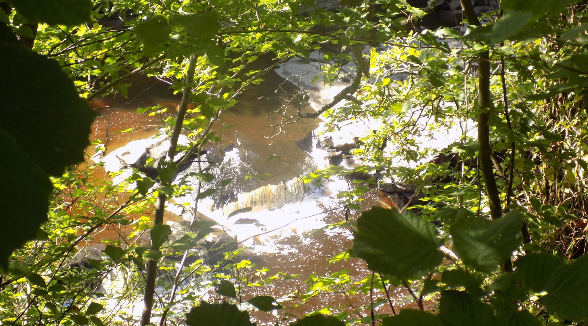
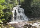
 Rapids
in the River Clyde
|
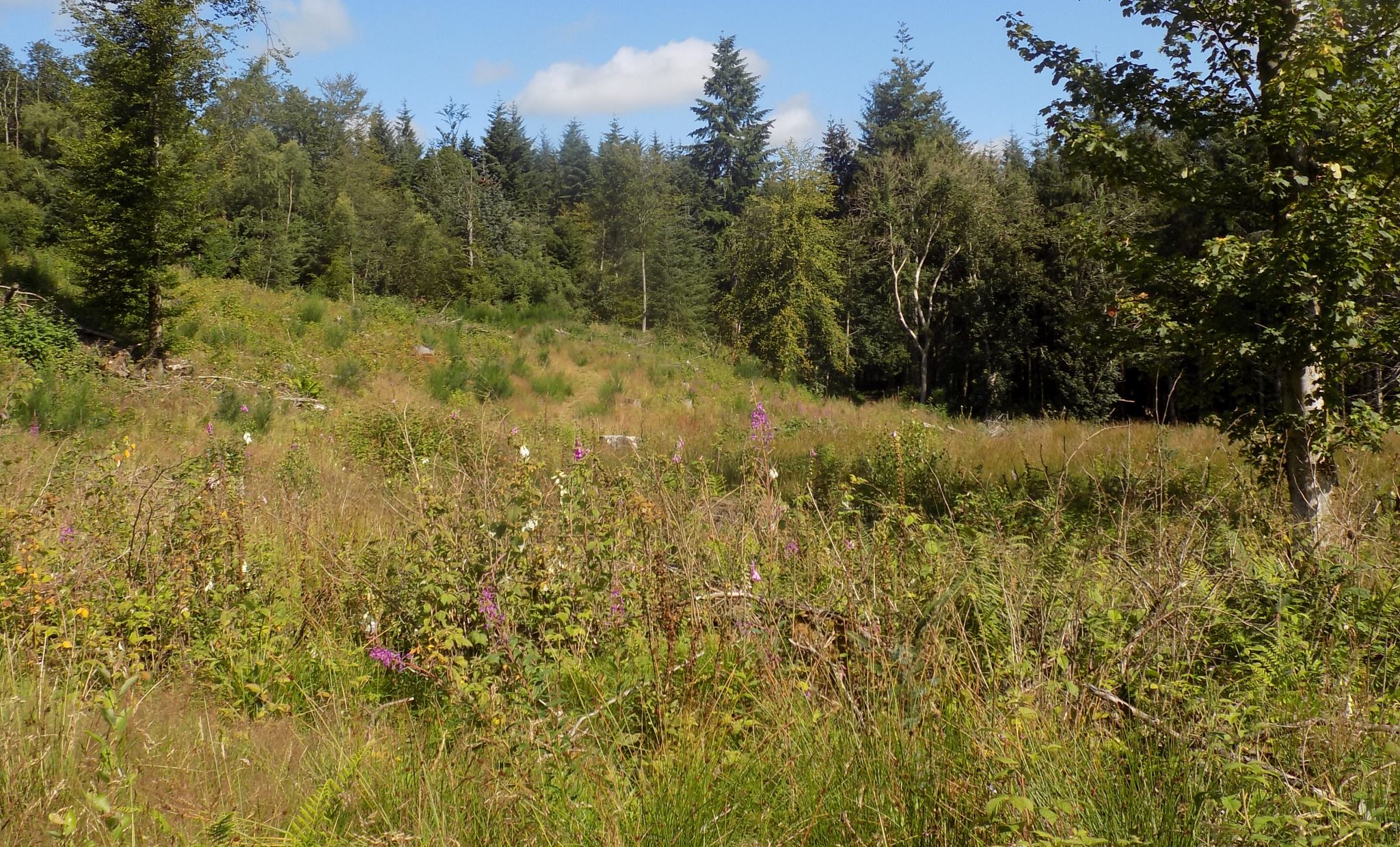
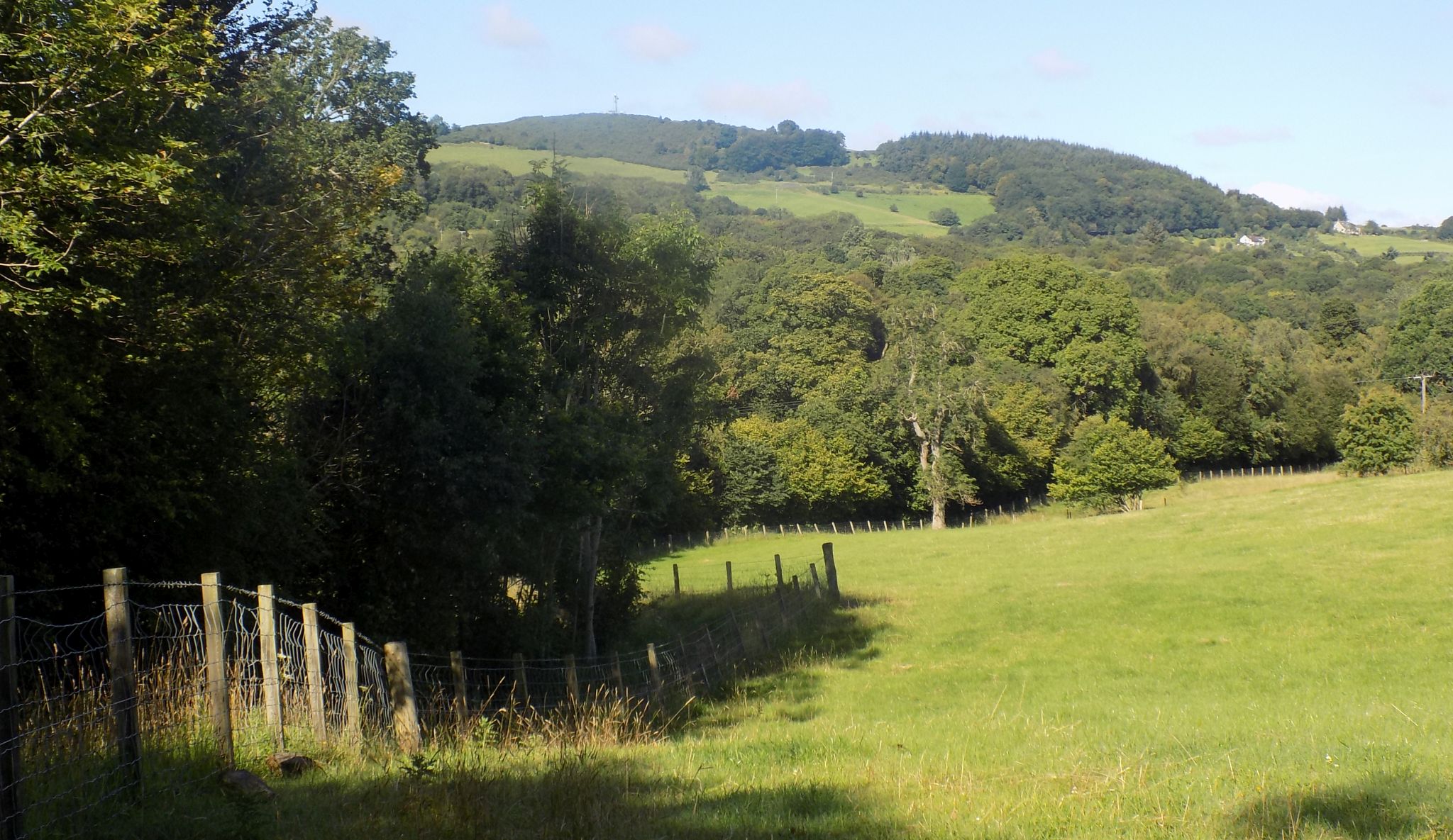 Fields
alongside the River Clyde Walkway
|
 Fields
alongside the River Clyde Walkway
|
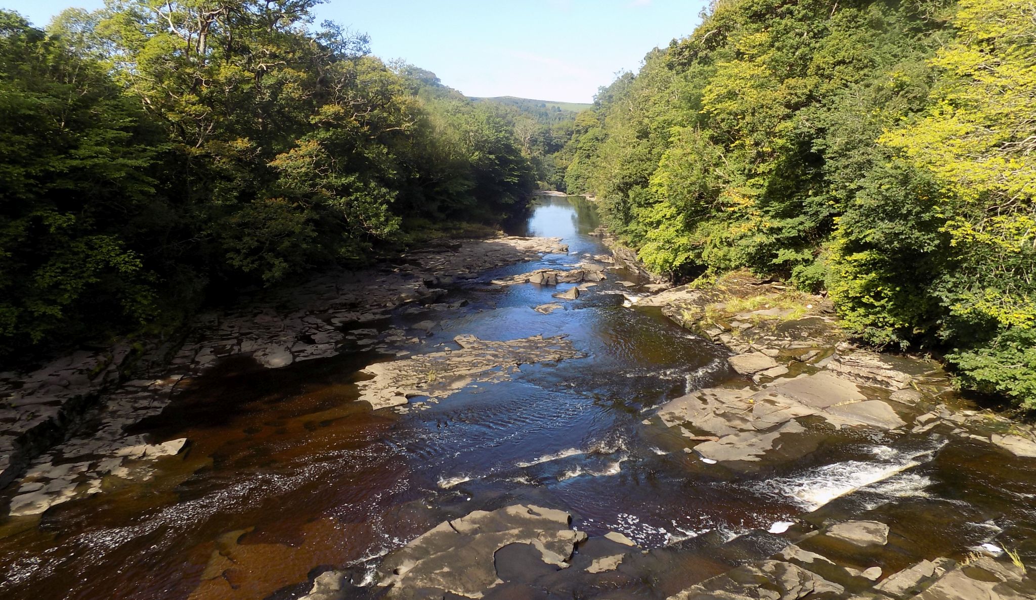
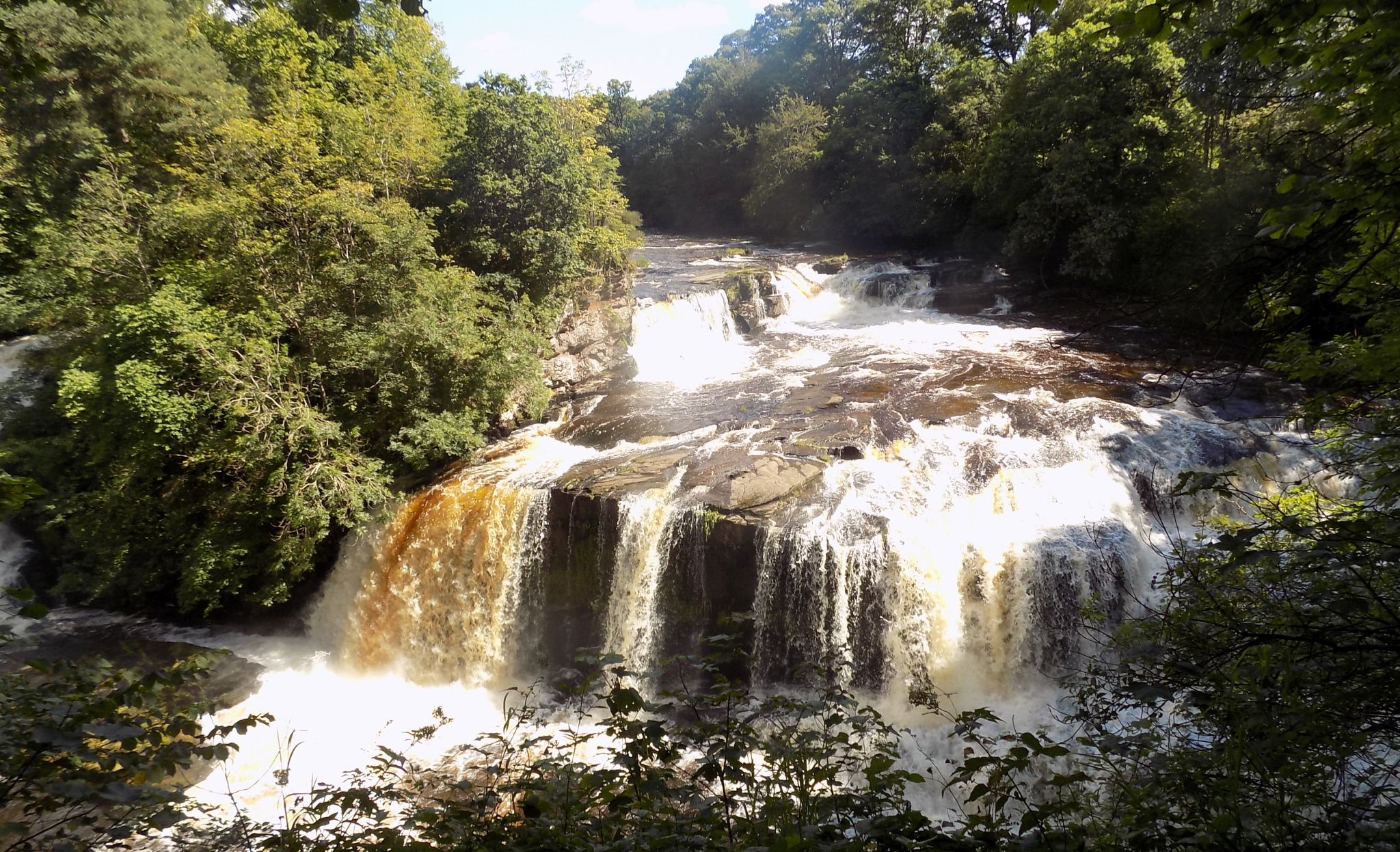
 Falls on the River
Clyde
|
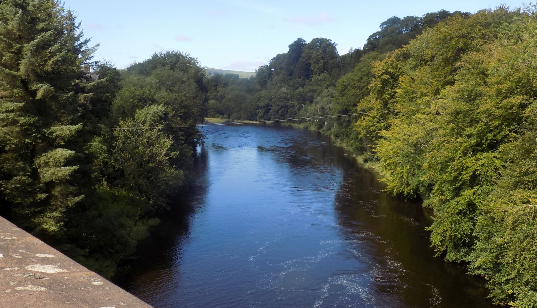
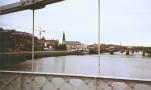
 River Clyde
from Stonebyres Bridge
|
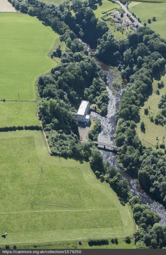 Aerial view of
Stonebyres Bridge
|
 River Clyde
from Stonebyres Bridge
|
 Bridge
over the River Clyde
at Kikfieldbank
This bridge is a replacement of the nearby 17th century Clydesholm Bridge, standing immediately upstream |
 River
Clyde
from bridge at Kikfieldbank |
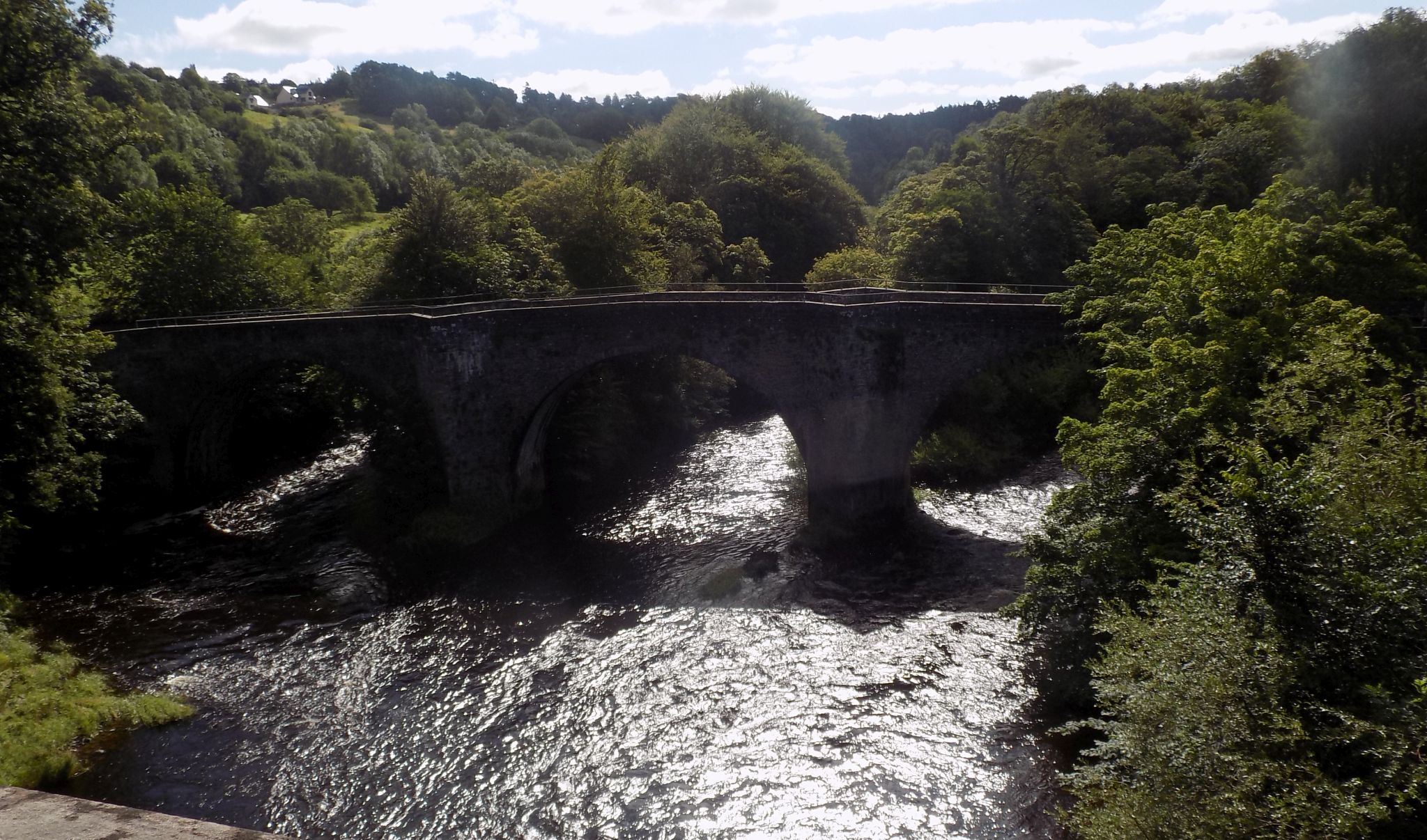 17th
century Clydesholm Bridge
over the River Clyde at Kikfieldbank A narrow, three-arched bridge spanning a deep valley - work began on the construction of the bridge at Clydesholm in 1696 and completed in 1699 |
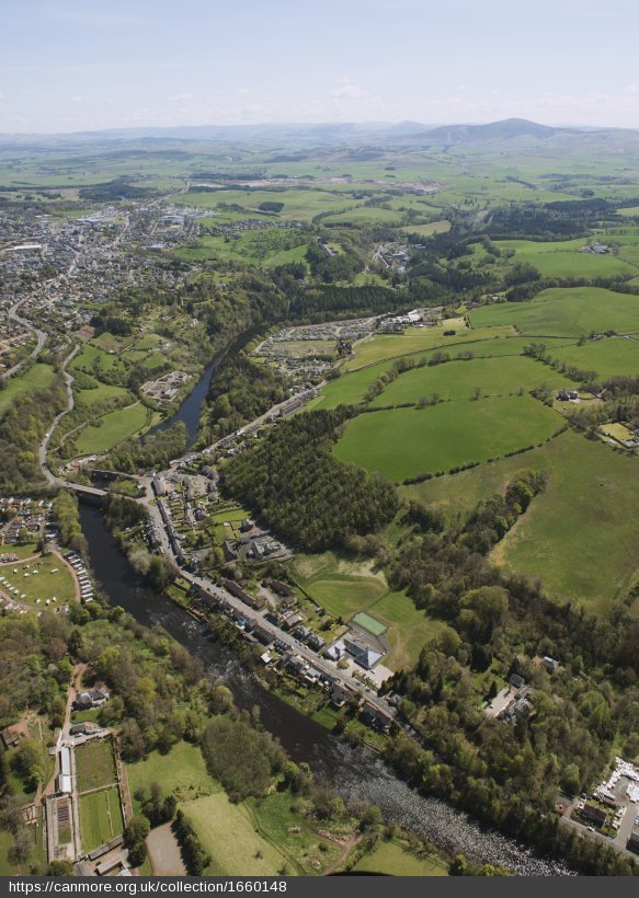 Aerial view of
Clydesholm Bridge
|
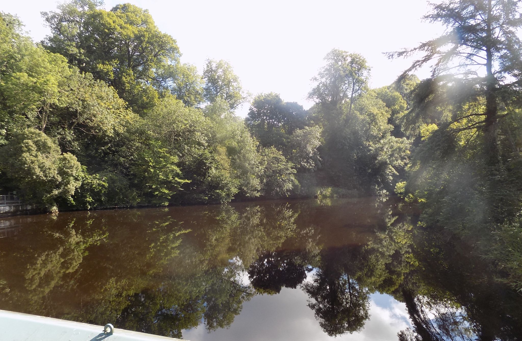
 River
Clyde from Braxfield Park
|
 |
 |
 |
 |
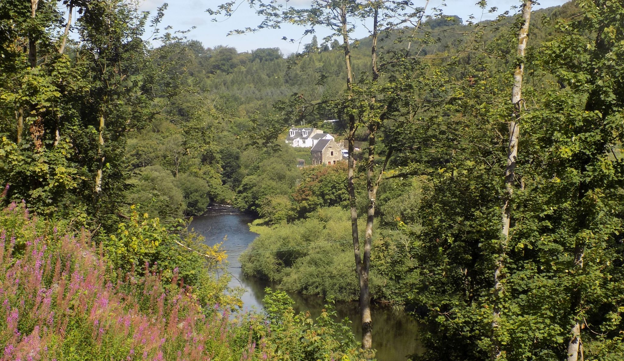
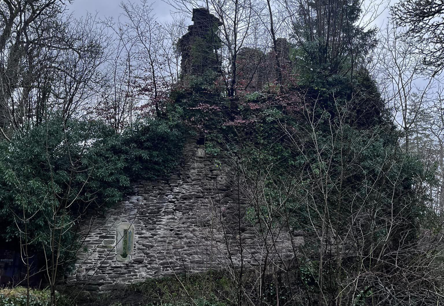 Corra Castle
above the River Clyde |
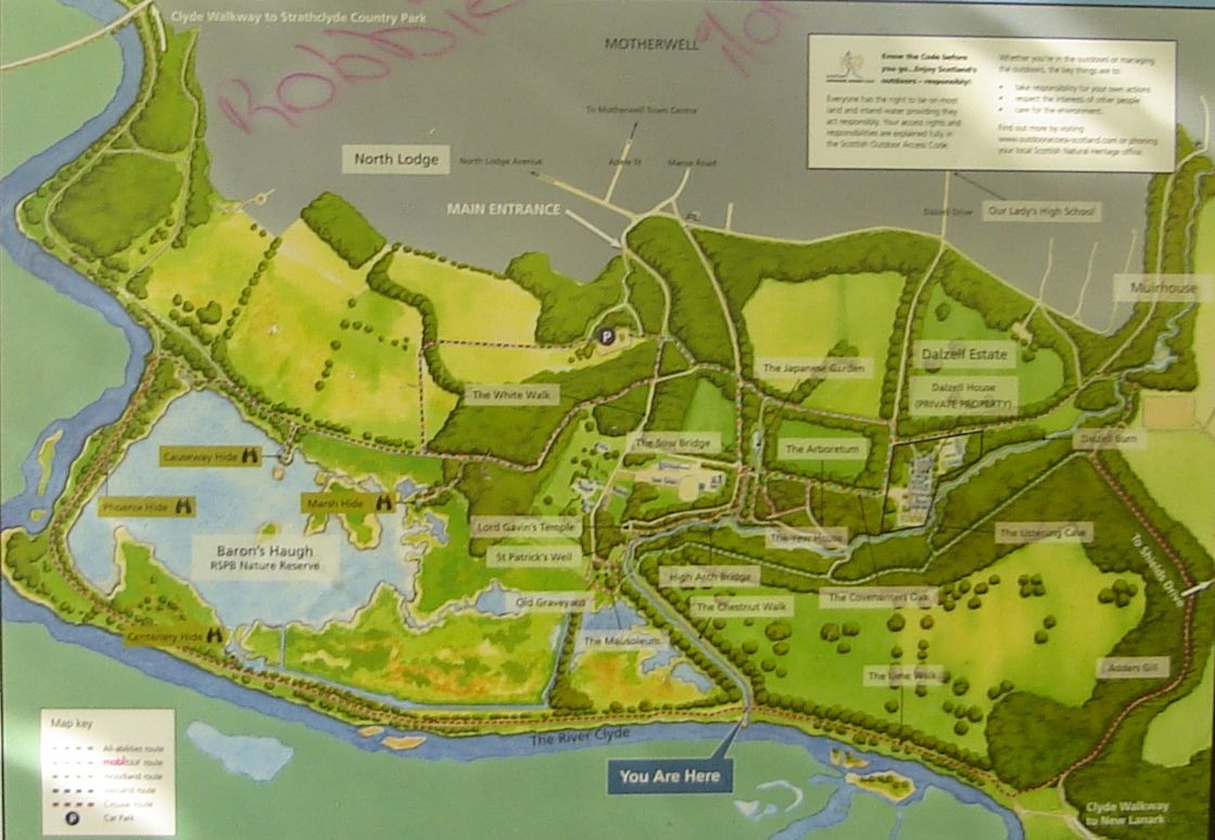
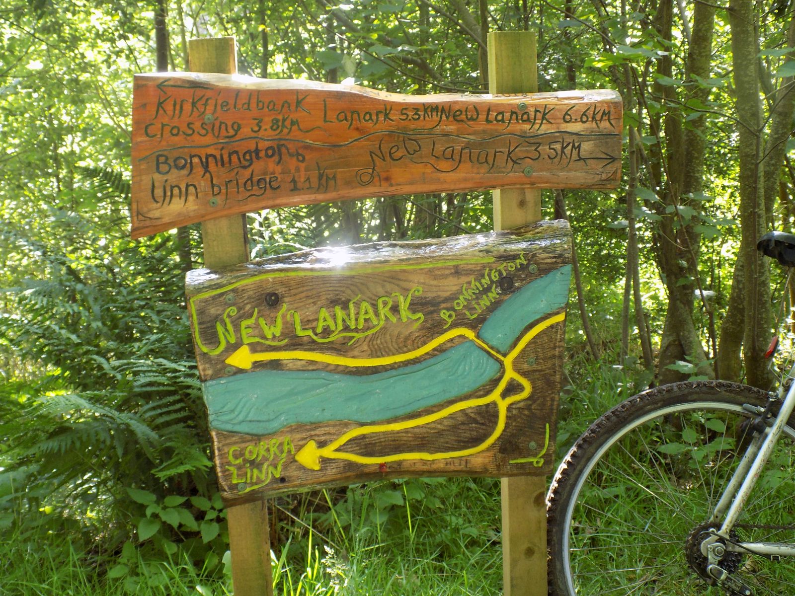
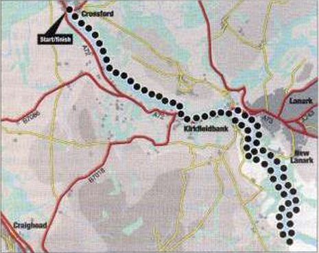
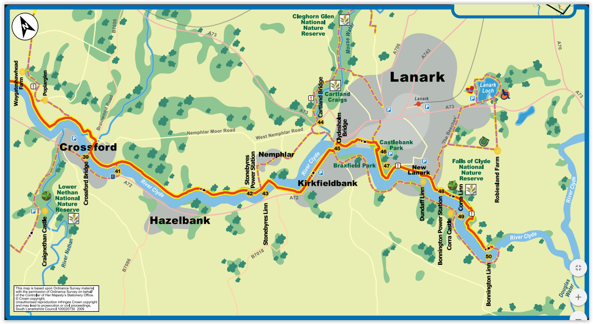 Map of
the River Clyde Walkway
from Crossford to New Lanark |
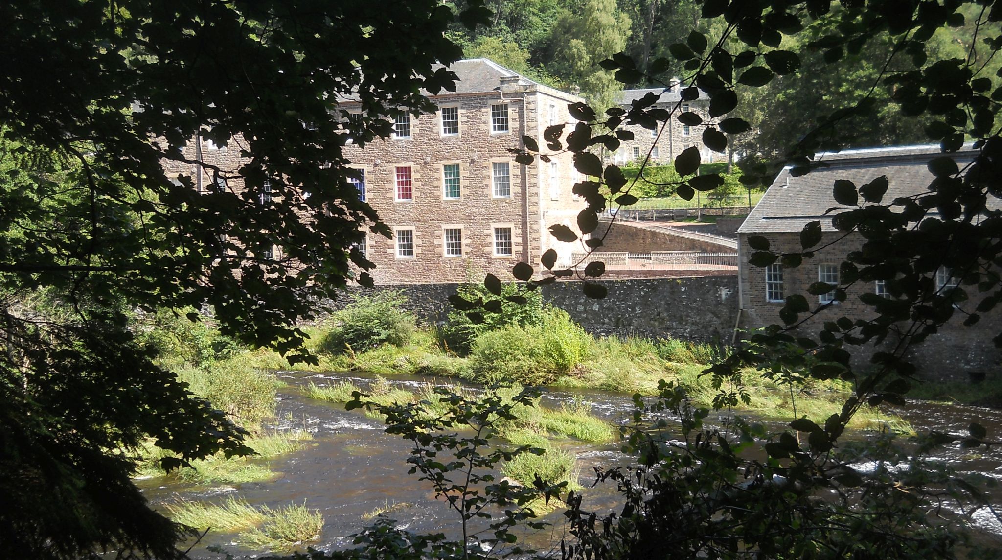
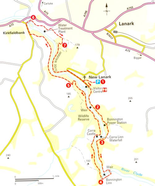 Map
of Walk at New Lanark
on River Clyde
|
 |
RIVER CLYDE WALKWAY - CYCLE RUN - ROUTE DESCRIPTION:
 :: Falls of
Clyde Gallery
:: Falls of
Clyde Gallery  ::
Garrion -
Crossford
Gallery
::
Garrion -
Crossford
Gallery 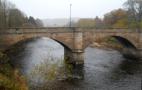
Glencoe | Ben Nevis | Knoydart | Isle of Skye | Isle of Arran | The West Highland Way
The Eastern Highlands | The Central Highlands | The Southern Highlands | The NW Highlands