 |
Glasgow ParksDumbreck Marsh |
  |
| |
Glasgow ParksDumbreck Marsh |
|
 |
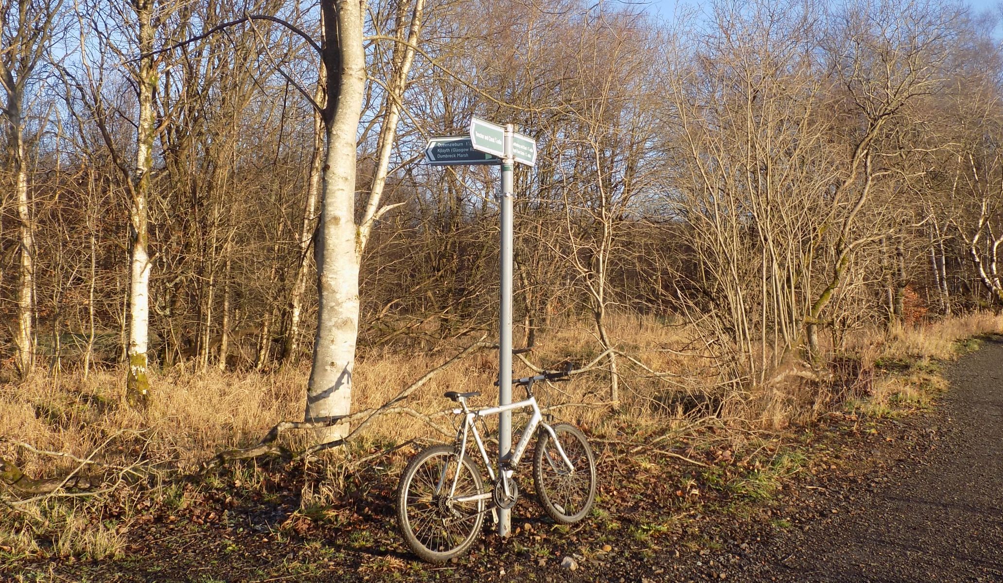
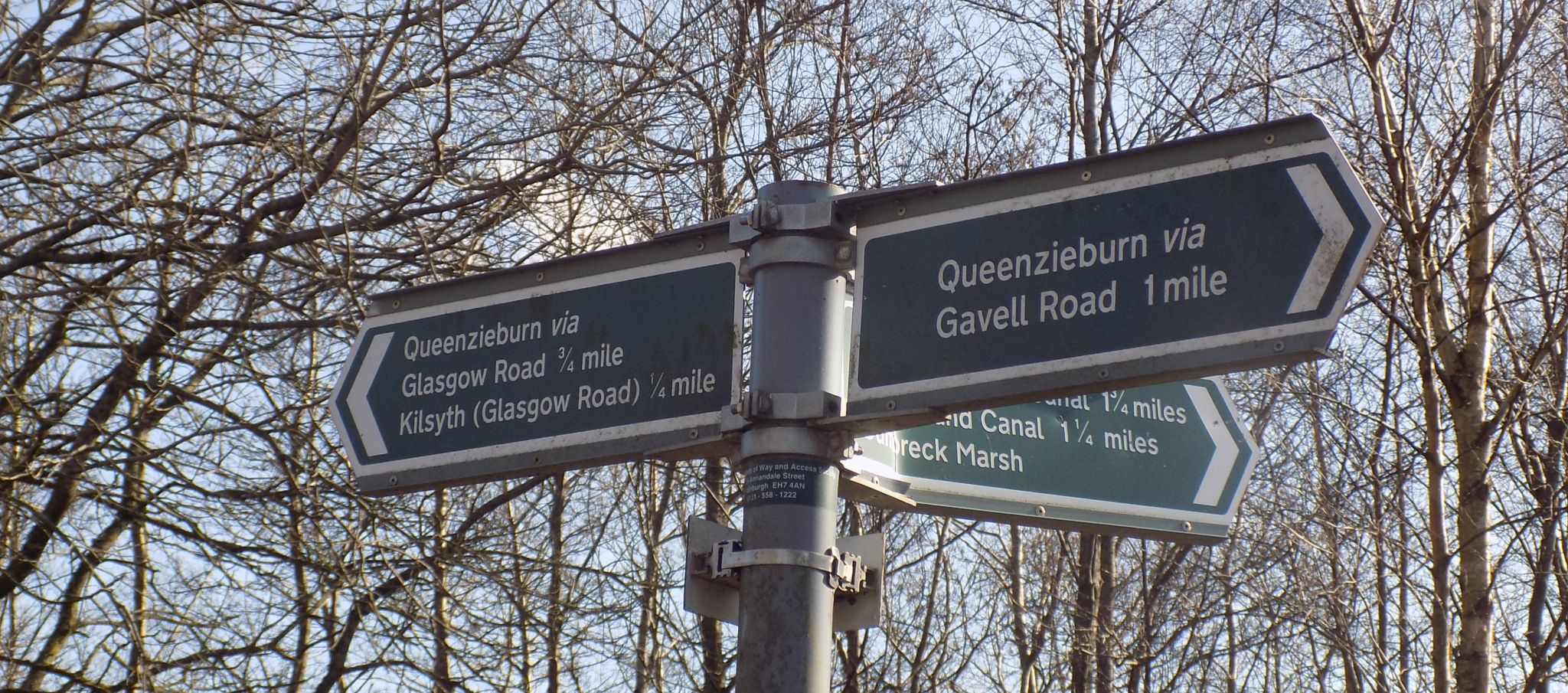 Signpost at Dumbreck
Marsh
on Gavell Road |
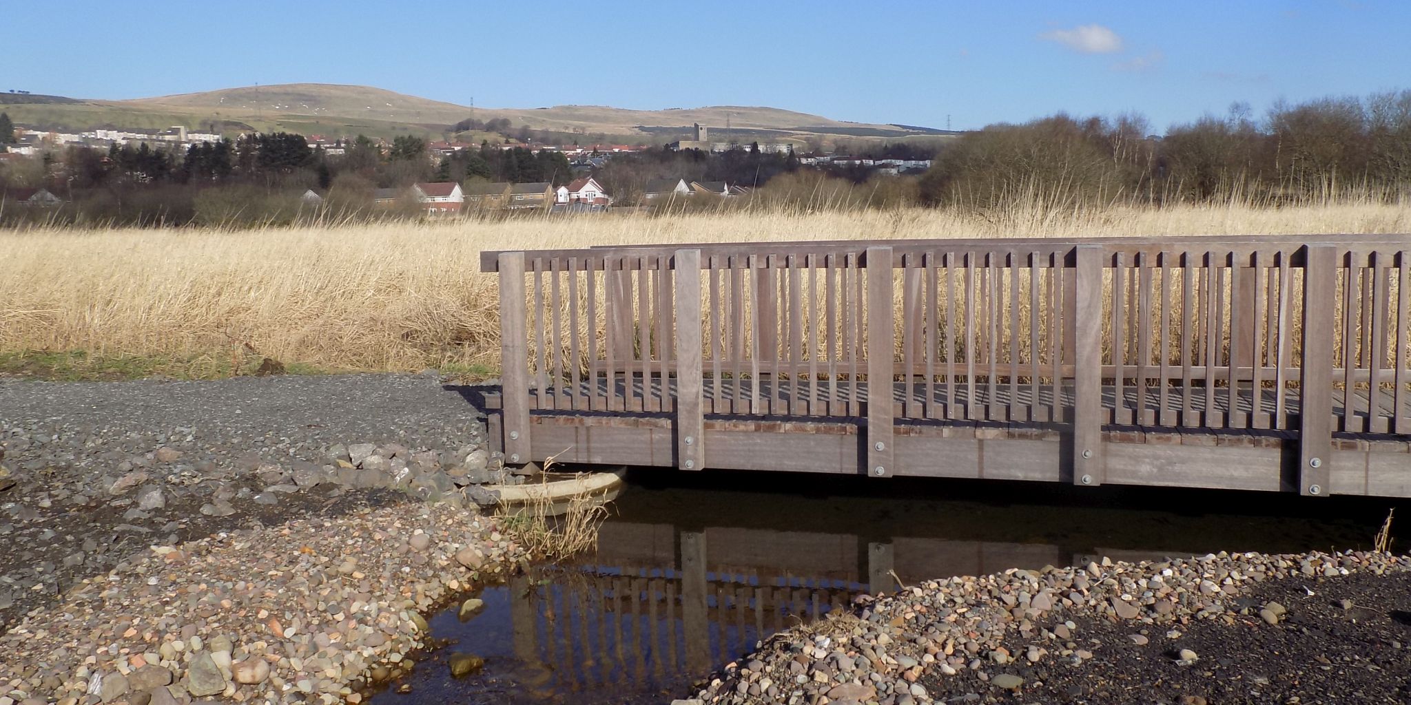
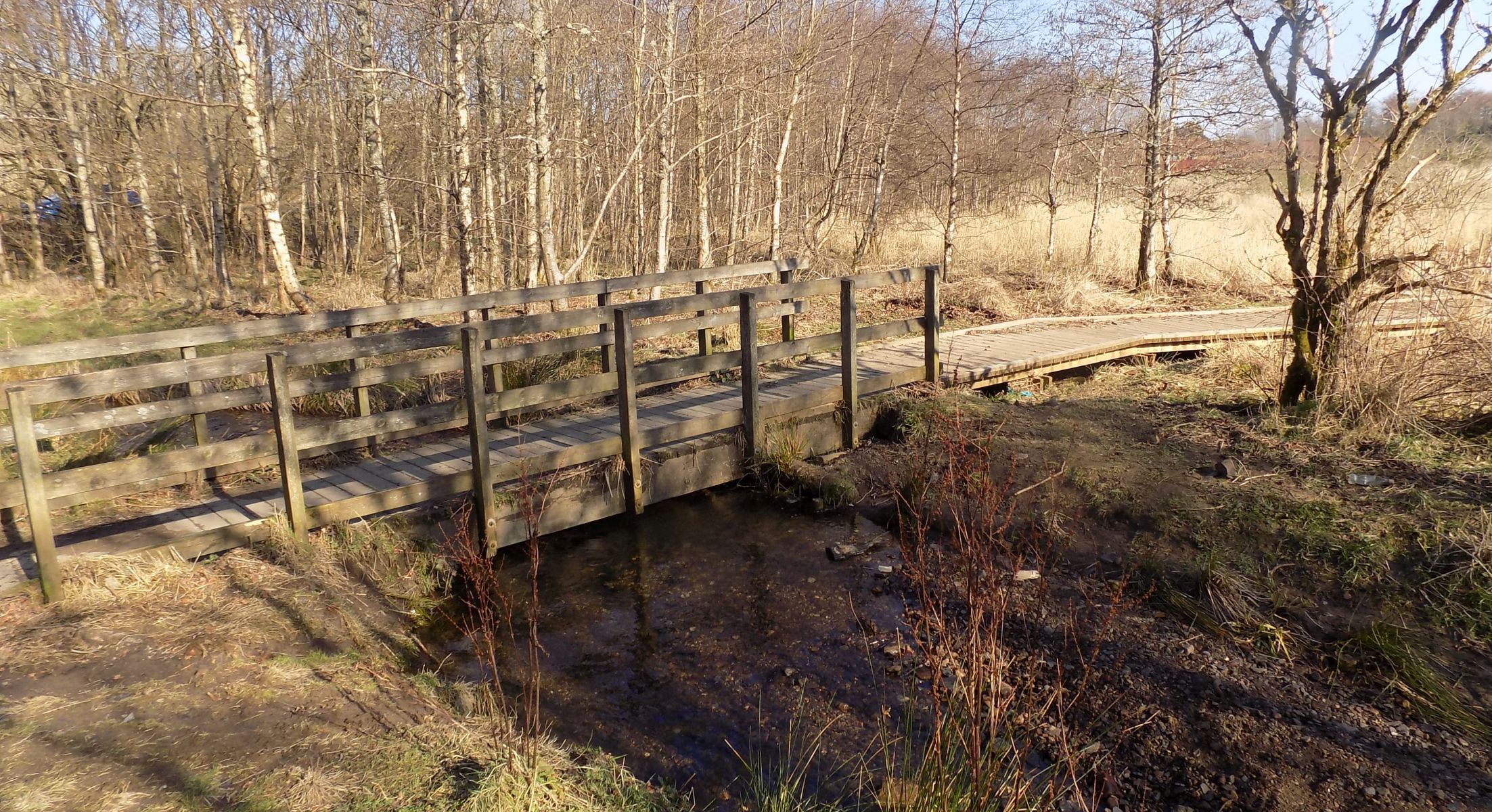 Walkway at Dumbreck
Marsh
|
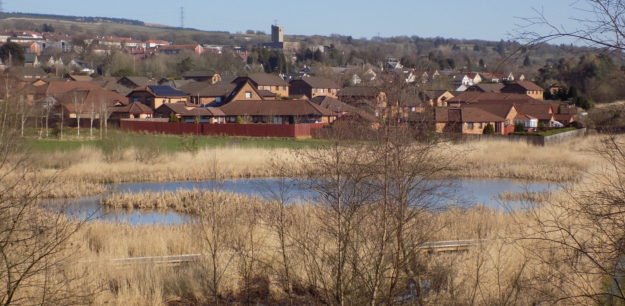
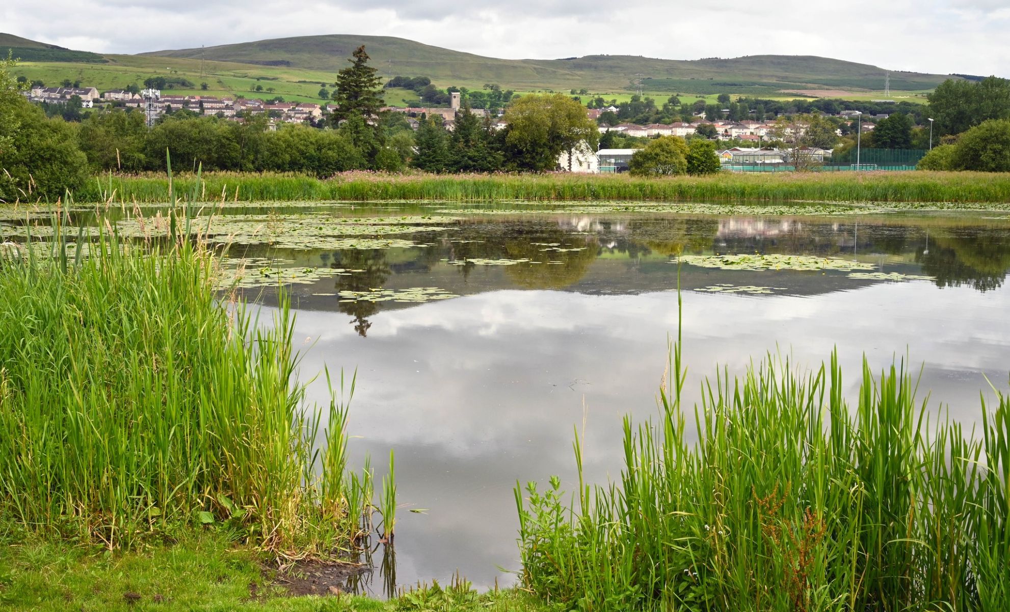
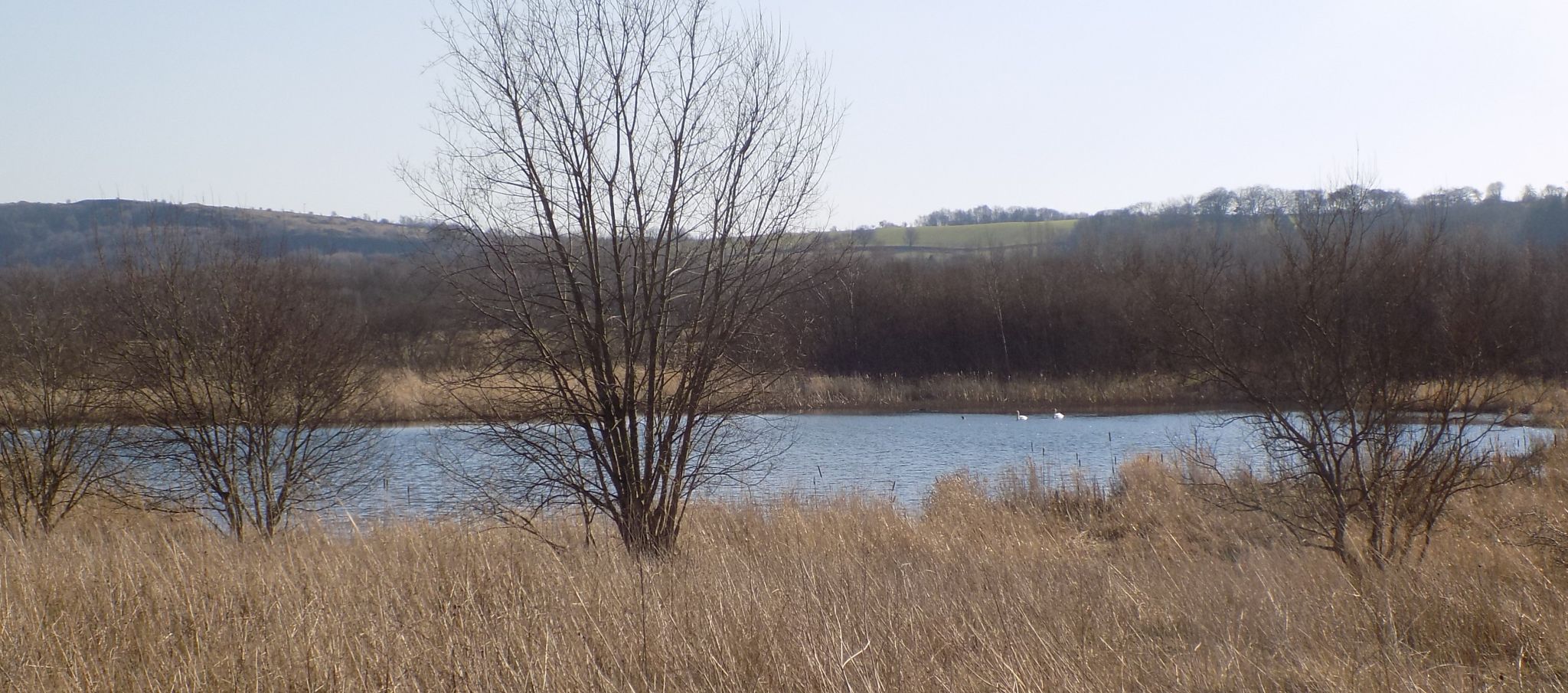
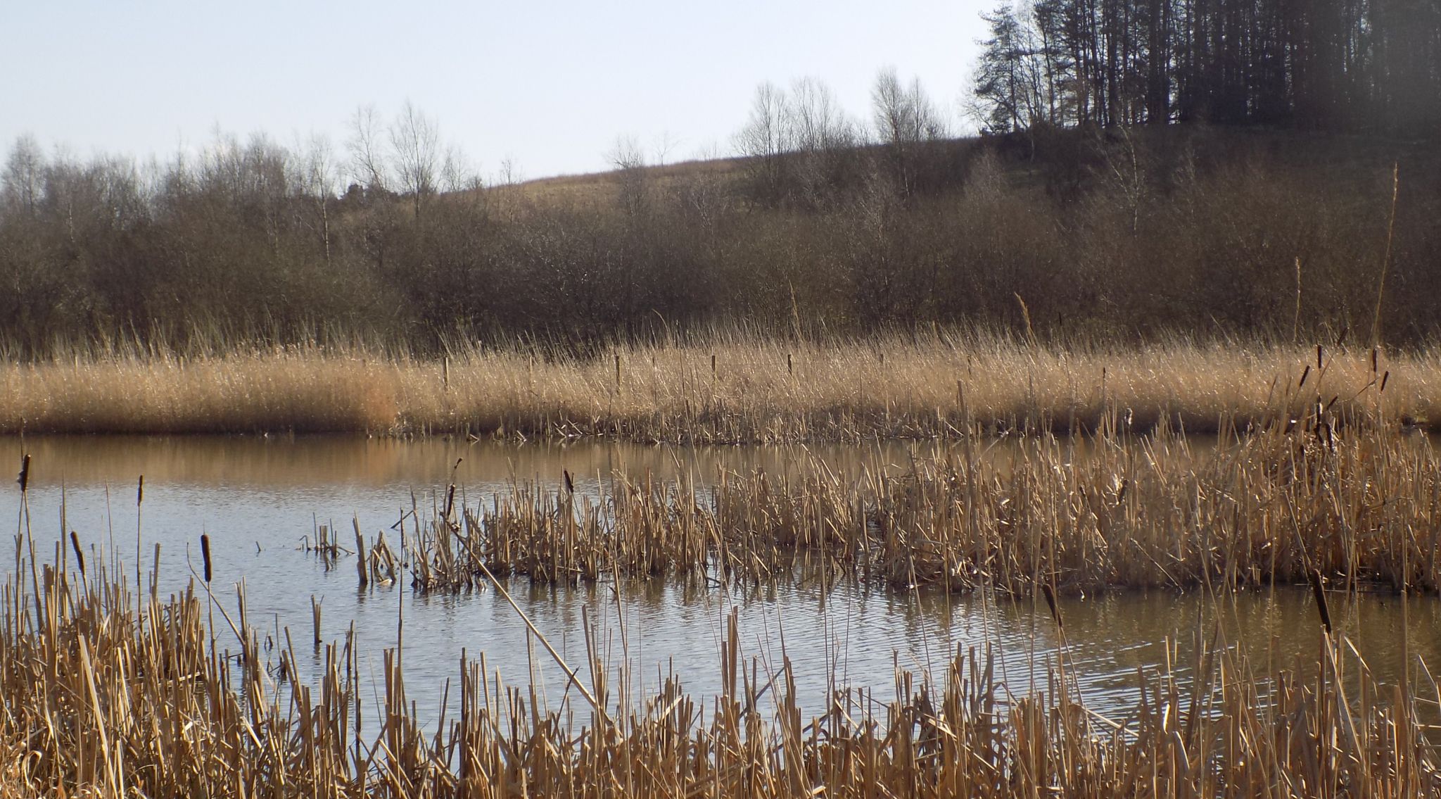 Pond at Dumbreck
Marsh
|
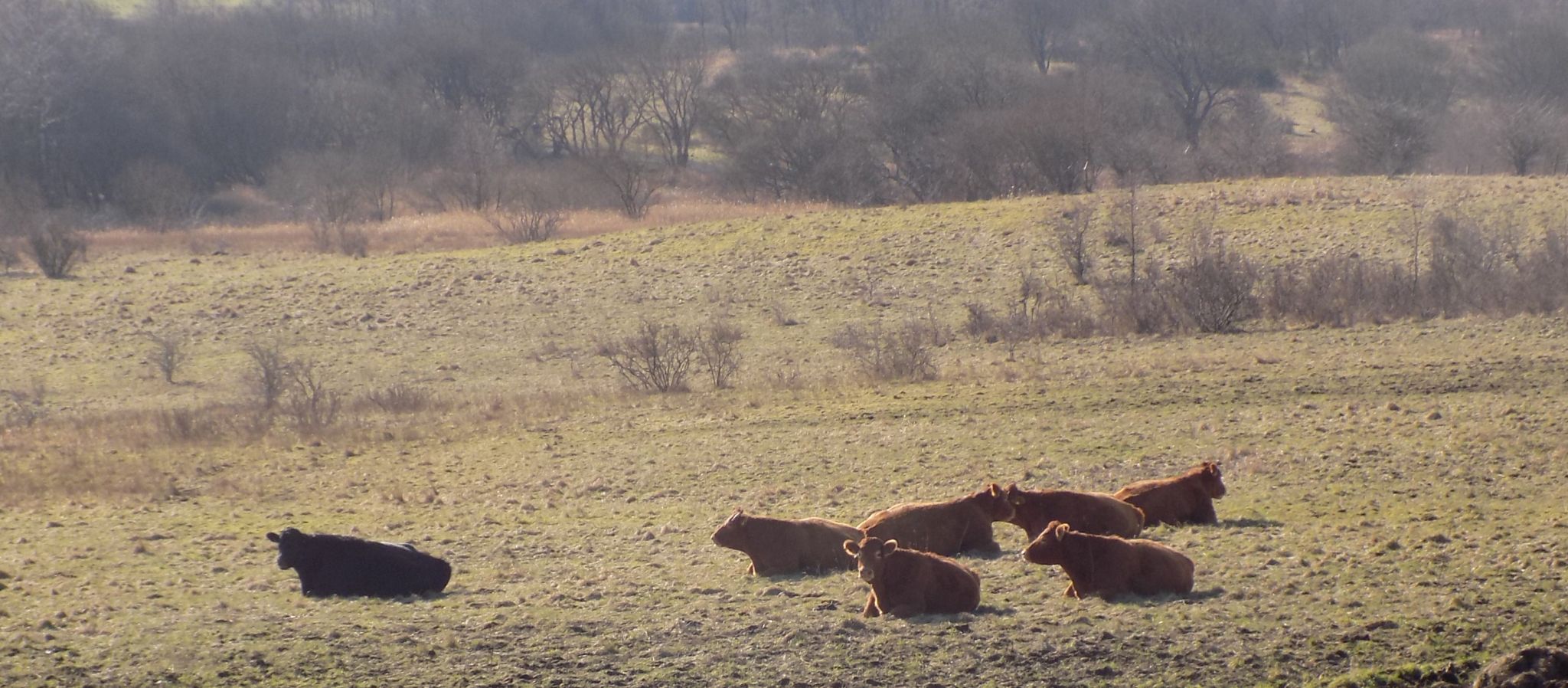 Cattle at Dumbreck
Marsh
|
 |
 |
 |
 |
 Pond at Dumbreck
Marsh
|
 Walkway at Dumbreck
Marsh
|
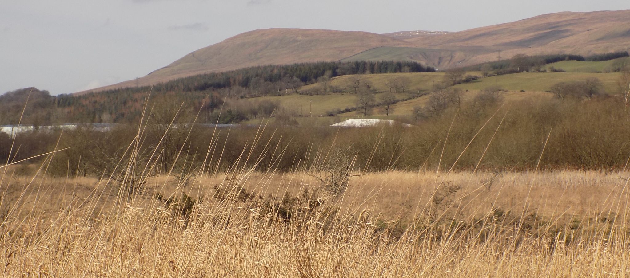 |
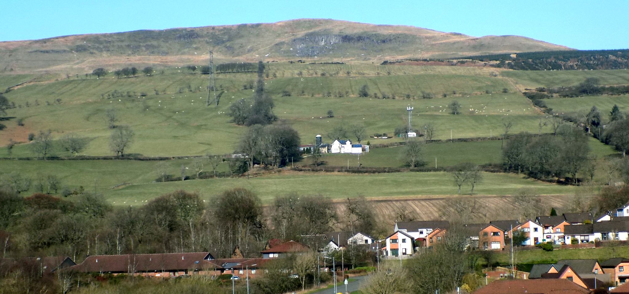
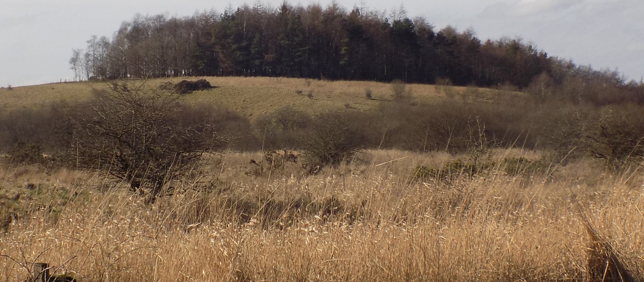 Dumbreck Marsh
|
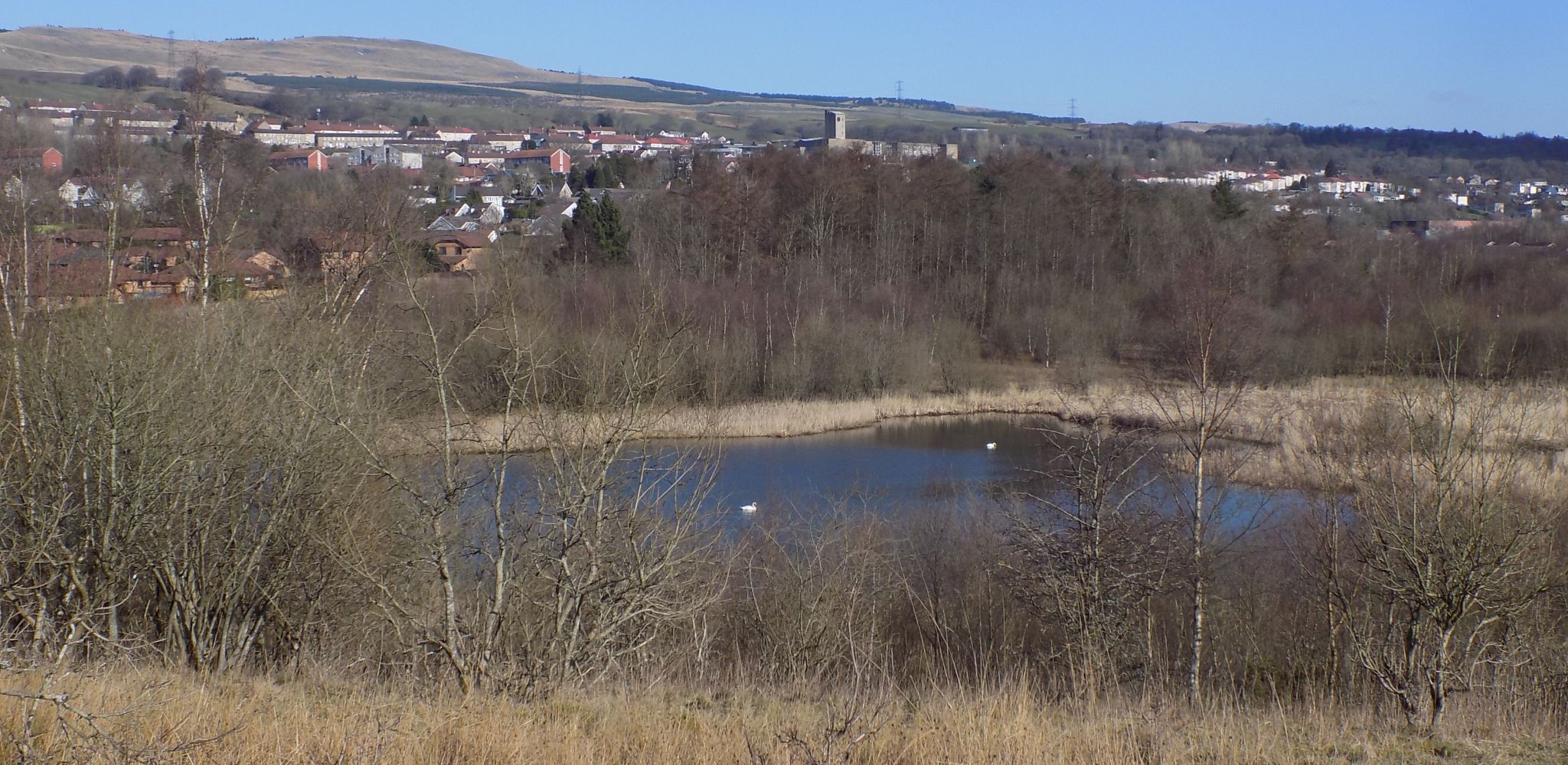
 Pond
in Dumbreck Marsh |
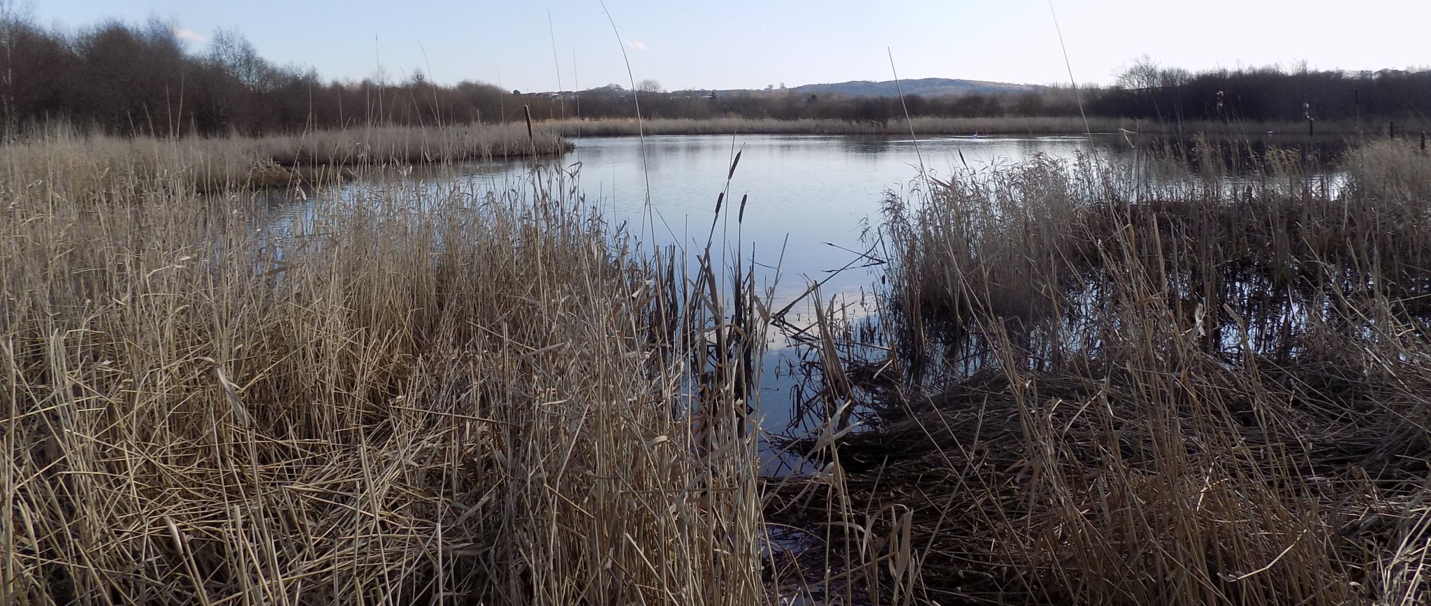
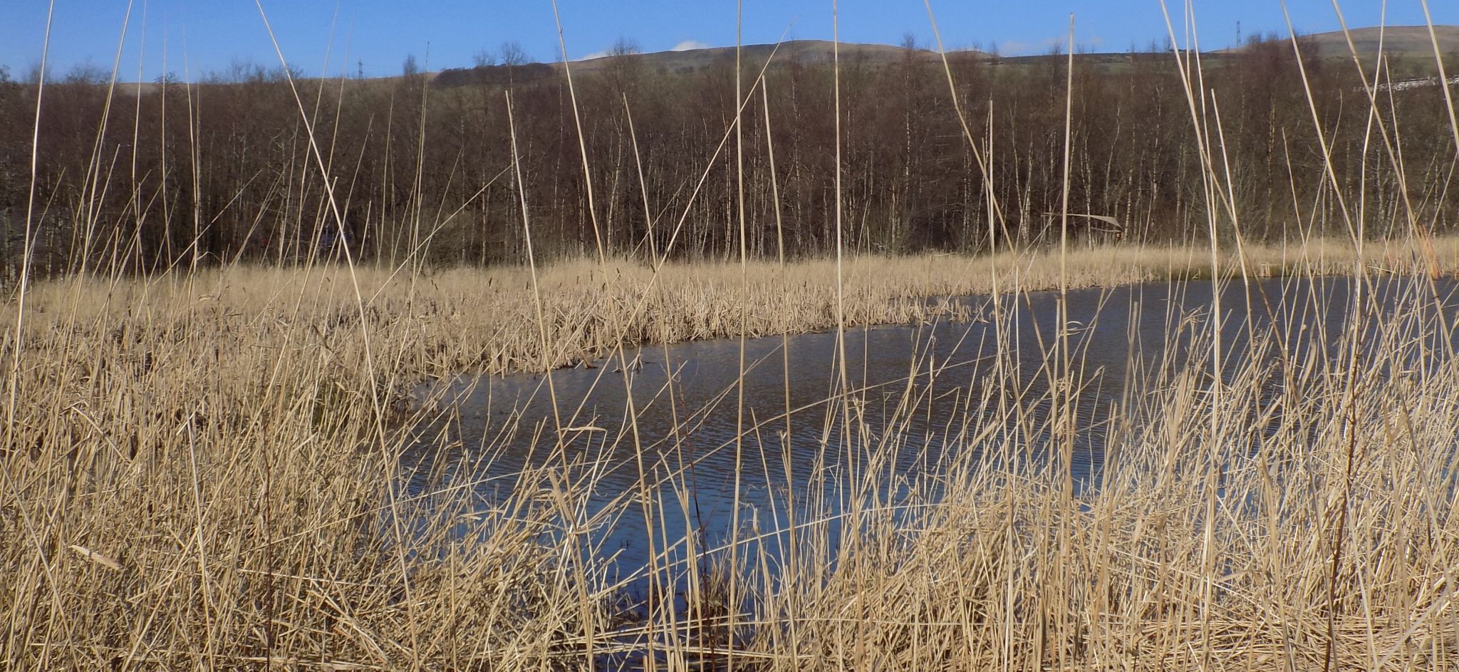 Pond
in Dumbreck Marsh |
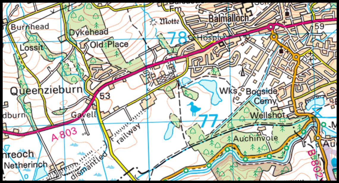 Map of
Dumbreck Marsh
|
Glencoe | Ben Nevis | Knoydart | Isle of Skye | Isle of Arran
The Eastern Highlands | The Central Highlands | The Southern Highlands | The NW Highlands