|
Paisley
|
  |
| |
Paisley
|
|
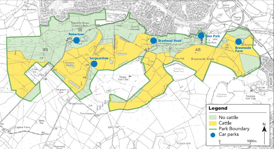
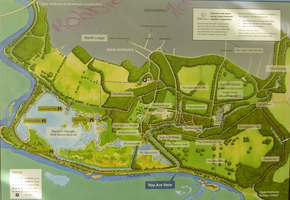 Map of Robertson
Park area
of Gleniffer Braes Country Park on the southern outskirts of Paisley Gleniffer Braes is an upland park of moorland with woods and hill farming areas. Attractions include the wildlife and waymarked trails. |
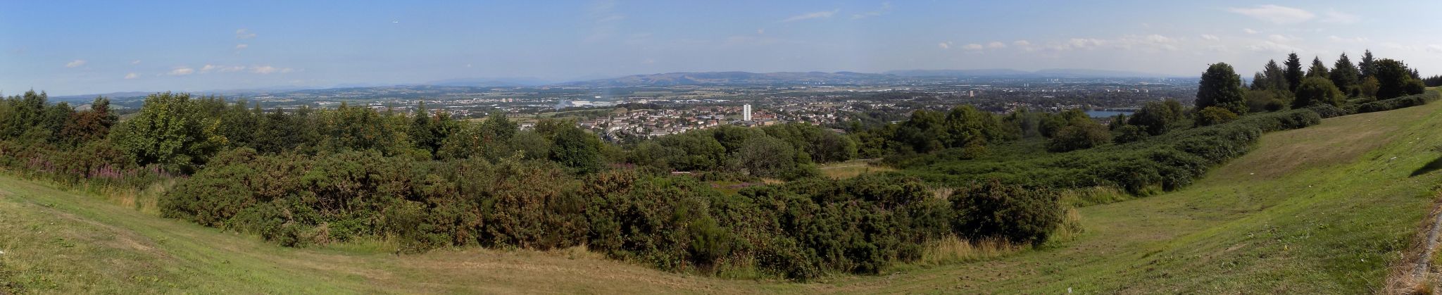 |
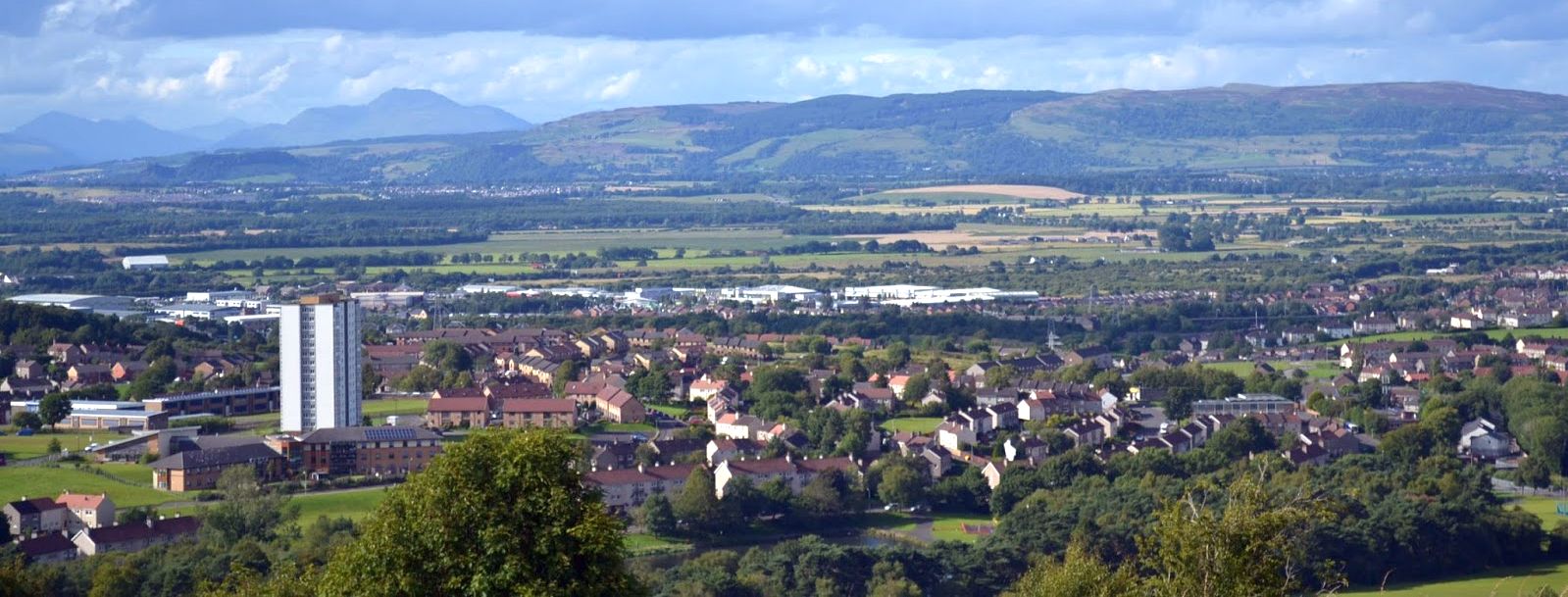 View from the "Car
Park in the Sky"
in Robertson Park area of Gleniffer Braes Country Park Ben Lomond on skyline |
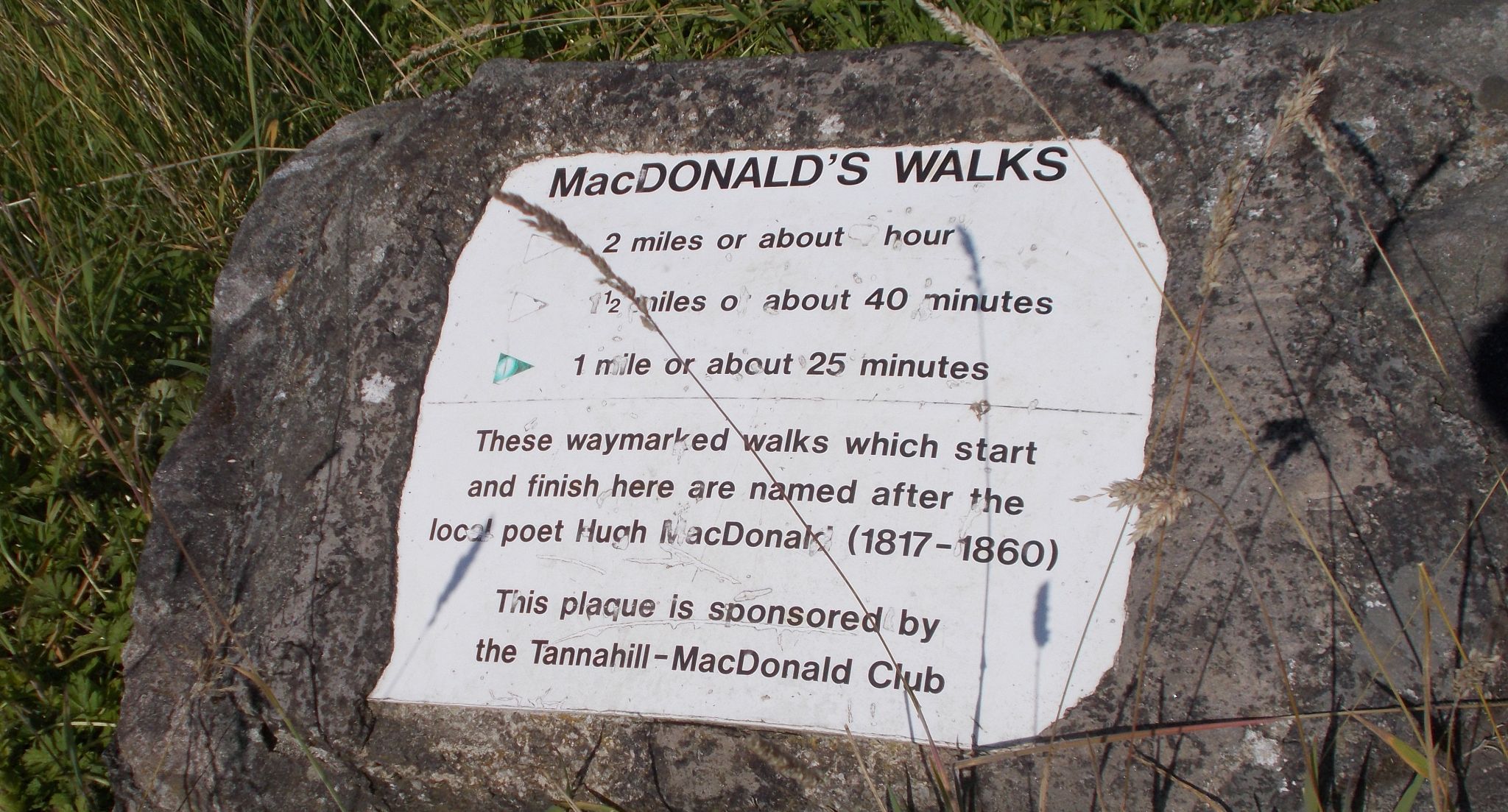 Sign
in Robertson
Park area
|
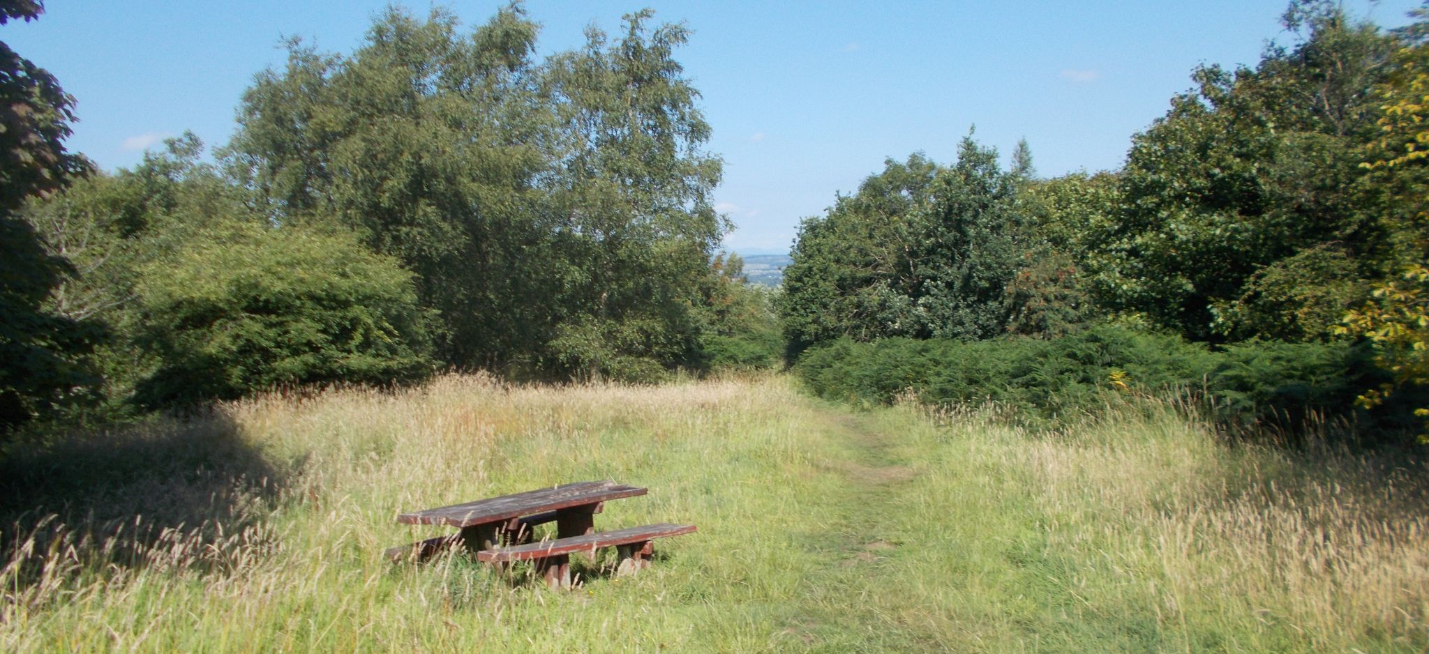 Trail
in Robertson
Park
|
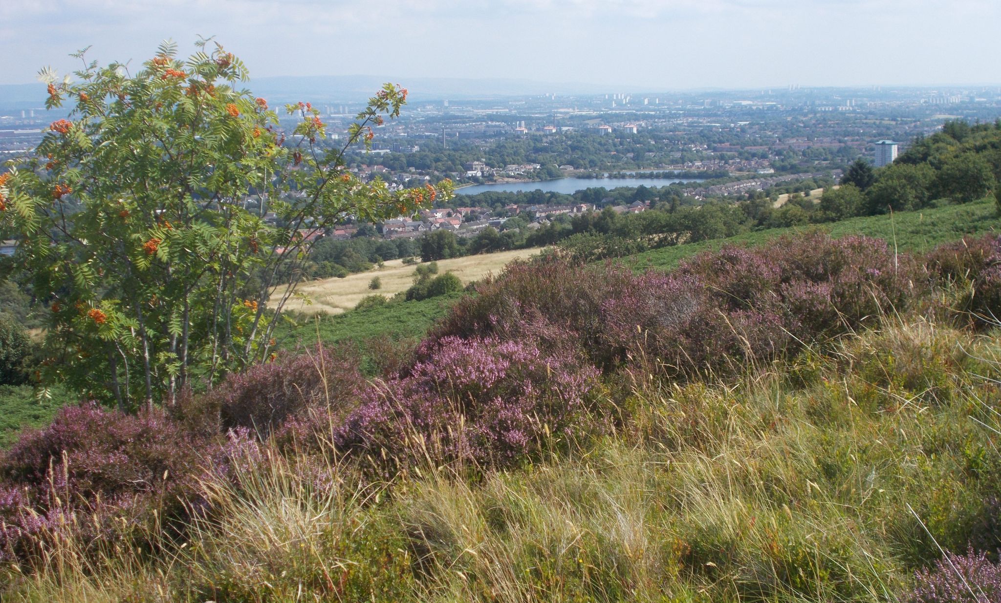 Stanely
Reservoir in Paisley
from Robertson Park |
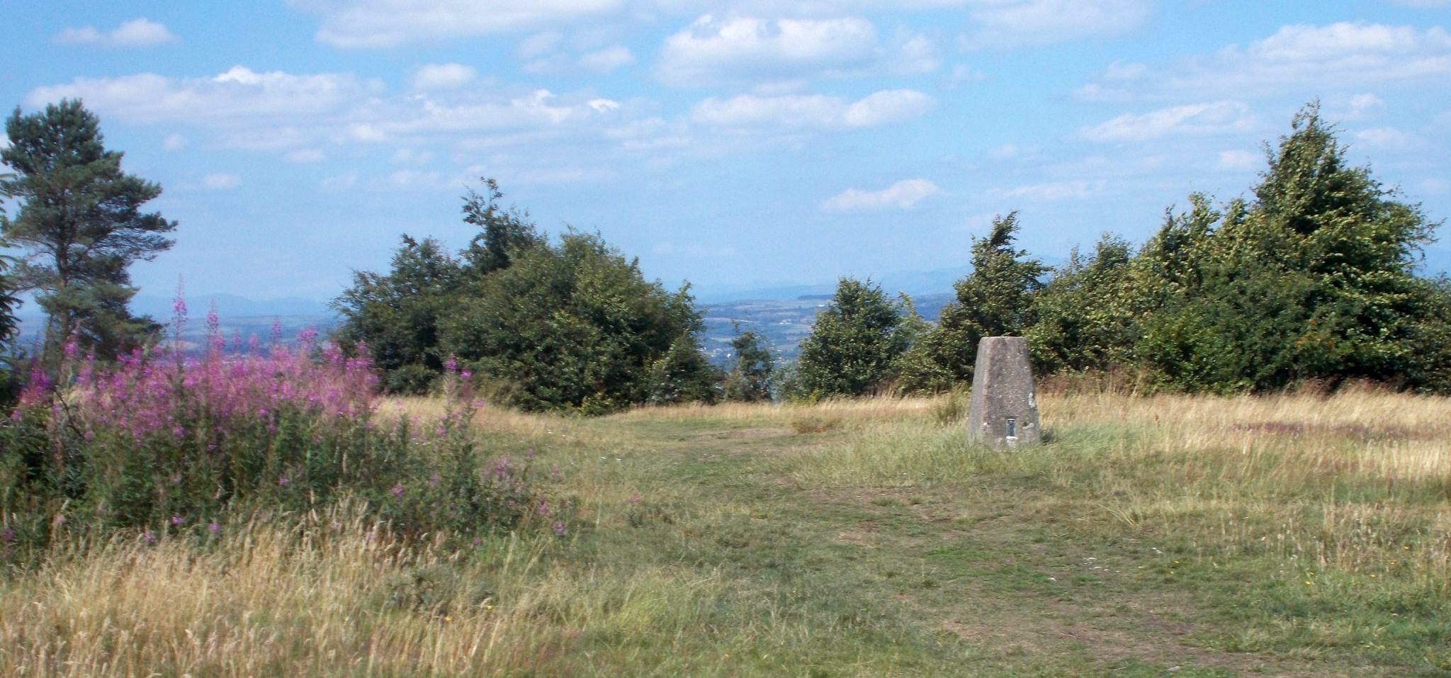 Trig
Point in Robertson Park
|
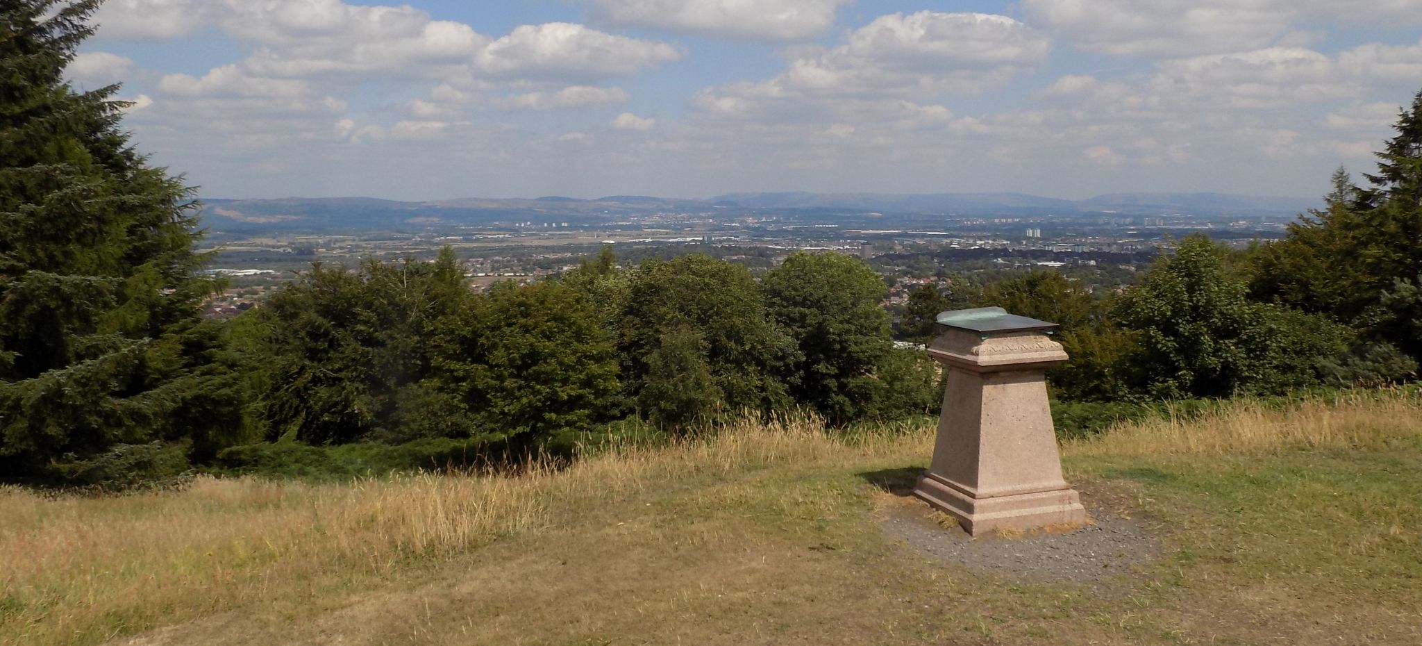 Viewpoint in
Robertson Park
|
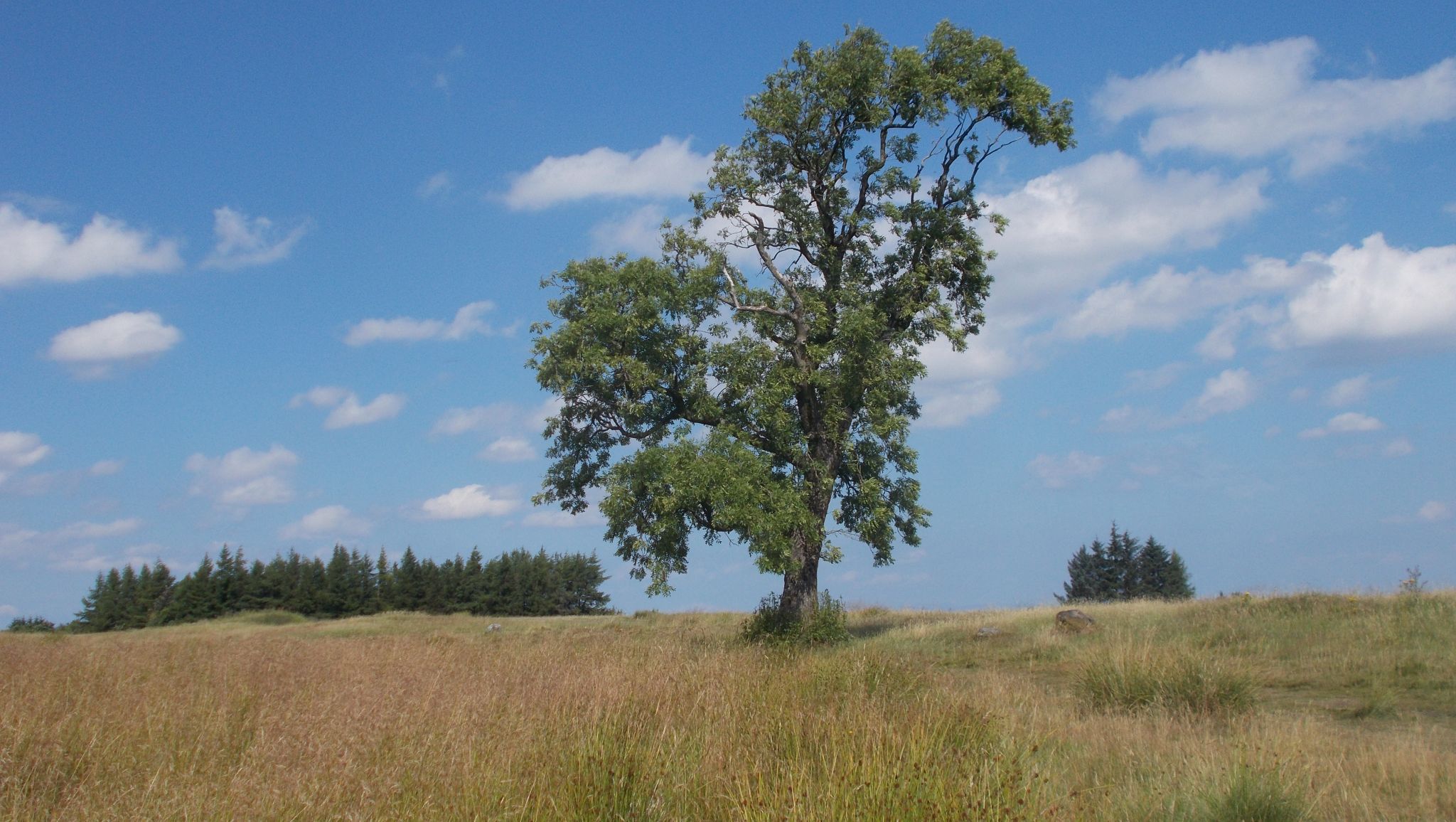 Lone tree on
Gleniffer Braes
|
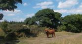
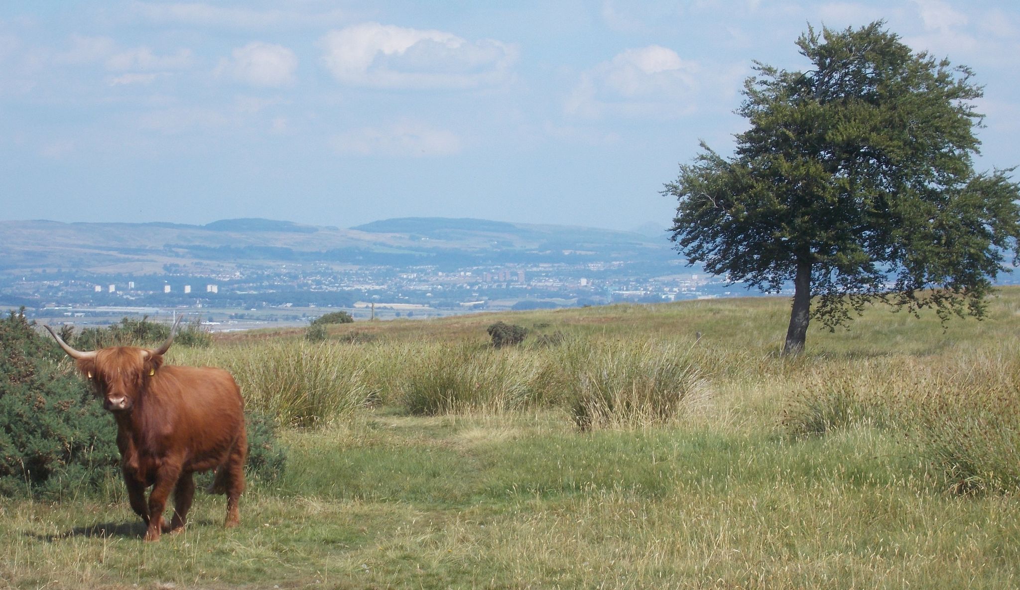 Highland
Cattle
in Gleniffer Braes Country Park The Cattle are used in the park to control the vegetation, preserve biodiversity and retain open spaces. |
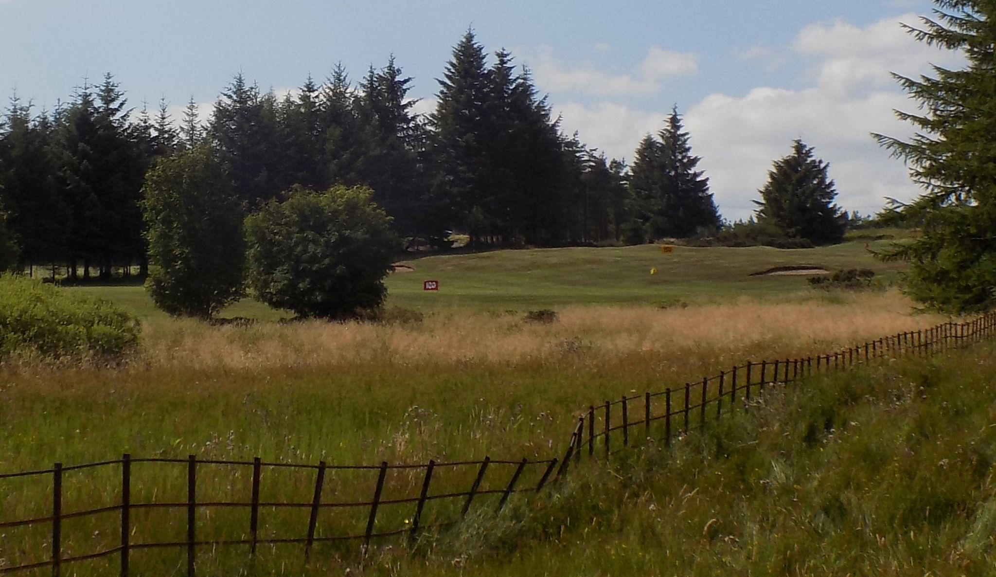 Paisley
Golf Course
alongside Gleniffer Braes Country Park |
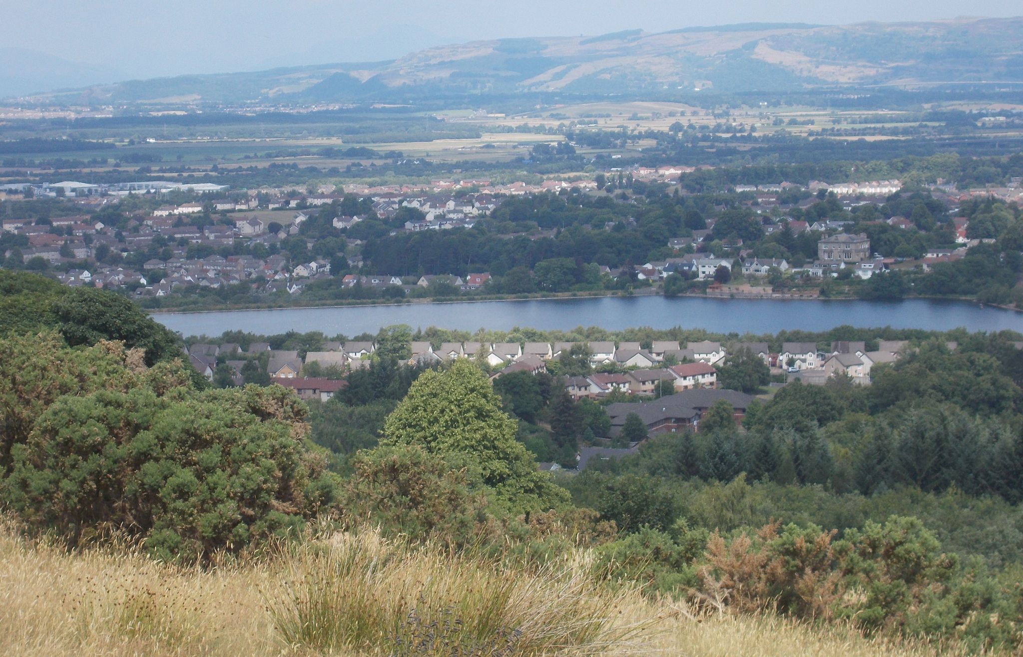 Stanely
Reservoir in Paisley
from Robertson Park |
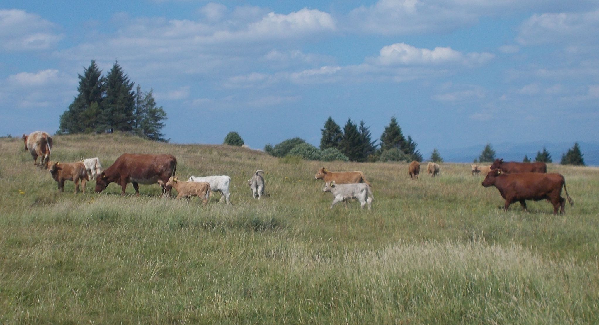 Cattle in Gleniffer Braes Country Park |
|
Viewpoint at Robertson Park |
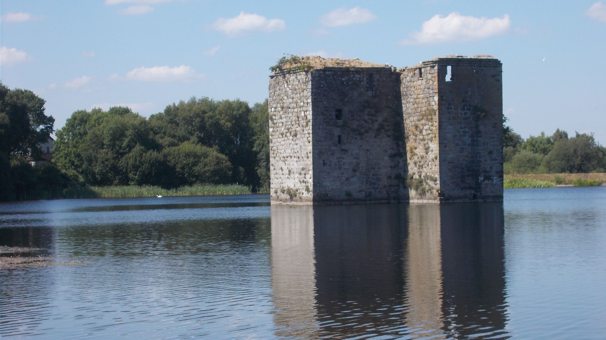 Stanely Castle in Stanely Reservoir An L-shaped tower house of four storeys probably built in the early 15th century on an island within a marsh. Since 1837 it has been partially submerged by the reservoir. |
|
 Map of
Gleniffer Braes Country Park
|
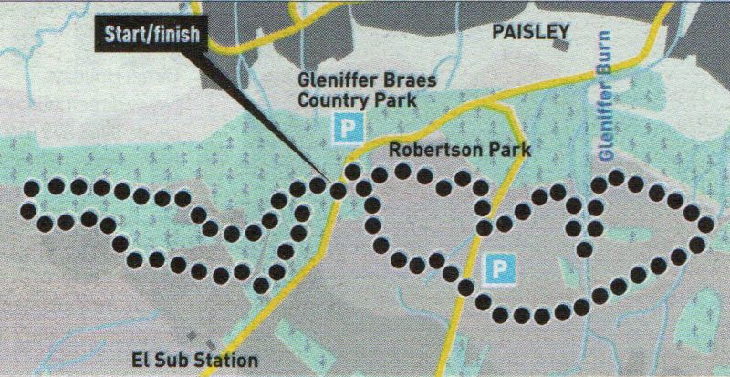 Route
Map for Robertson Park
|
ROBERTSON PARK WALK - ROUTE DESCRIPTION:
 ::
Gleniffer Braes Gallery
::
Gleniffer Braes Gallery 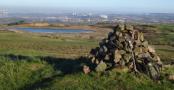
Glencoe | Ben Nevis | Knoydart | Isle of Skye | Isle of Arran | The West Highland Way
The Eastern Highlands | The Central Highlands | The Southern Highlands | The NW Highlands