 |
Bearsden & DistrictBuchanan Castle |
  |
| |
Bearsden & DistrictBuchanan Castle |
|
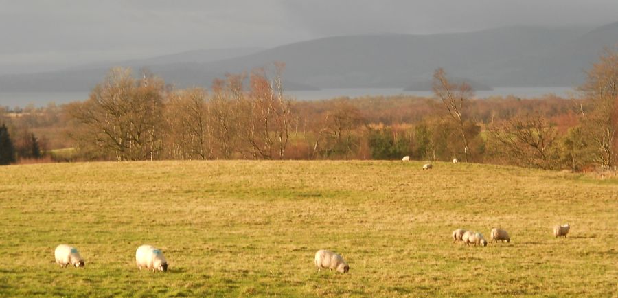
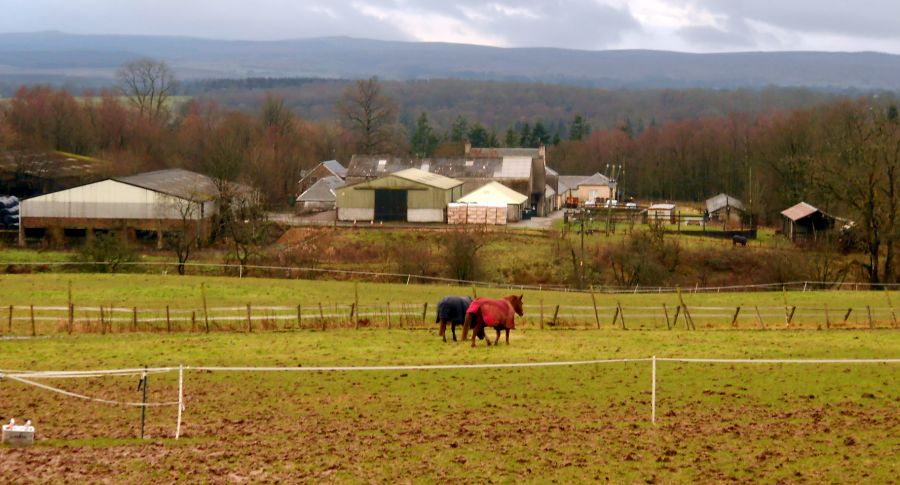 Buchanan
Home Farm
on outskirts of Drymen from Ballyconochy Loan |
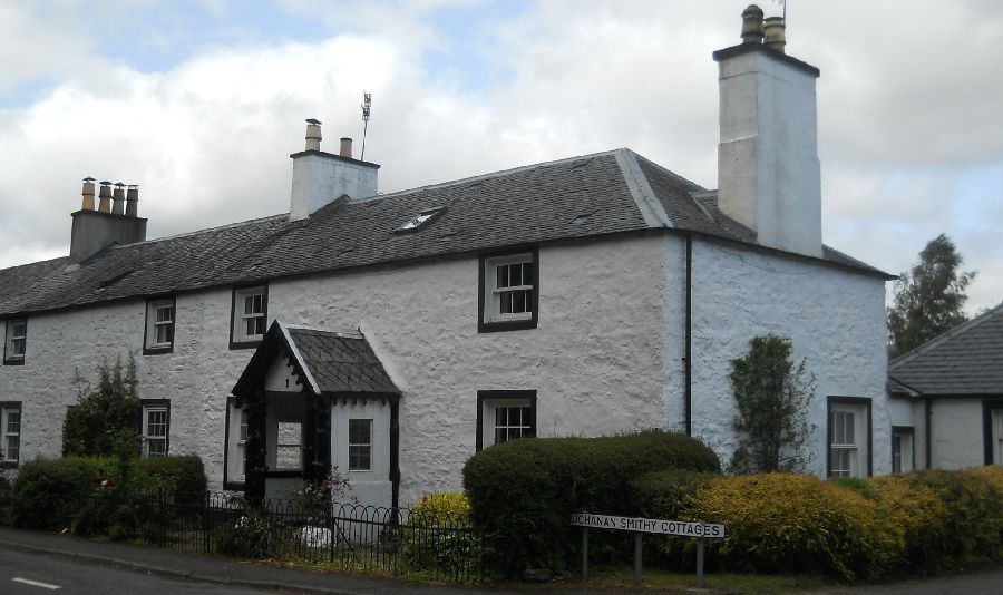
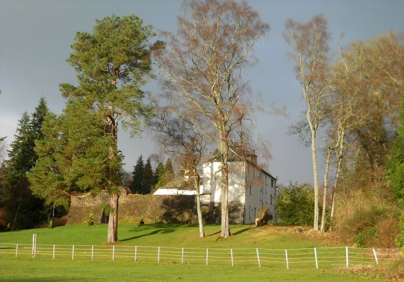
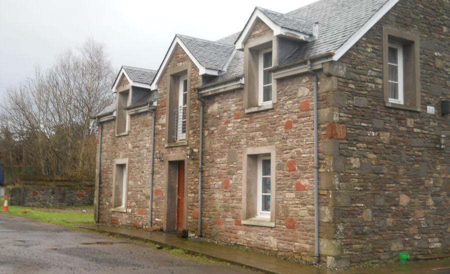 House
at Buchanan Home Farm
|
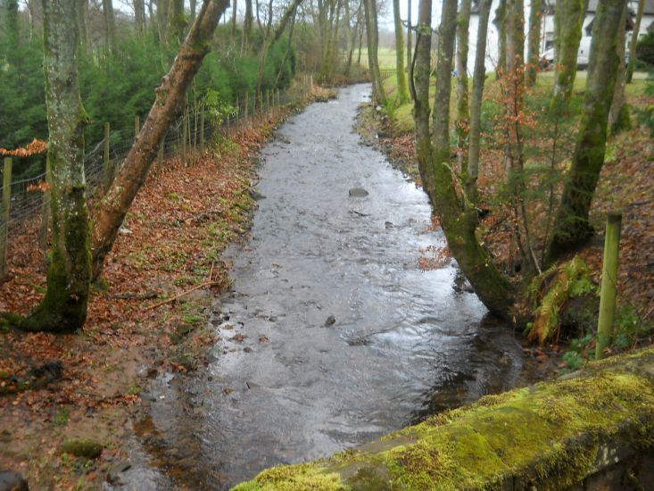 Mill
Burn flowing down
to the Endrick Water. |
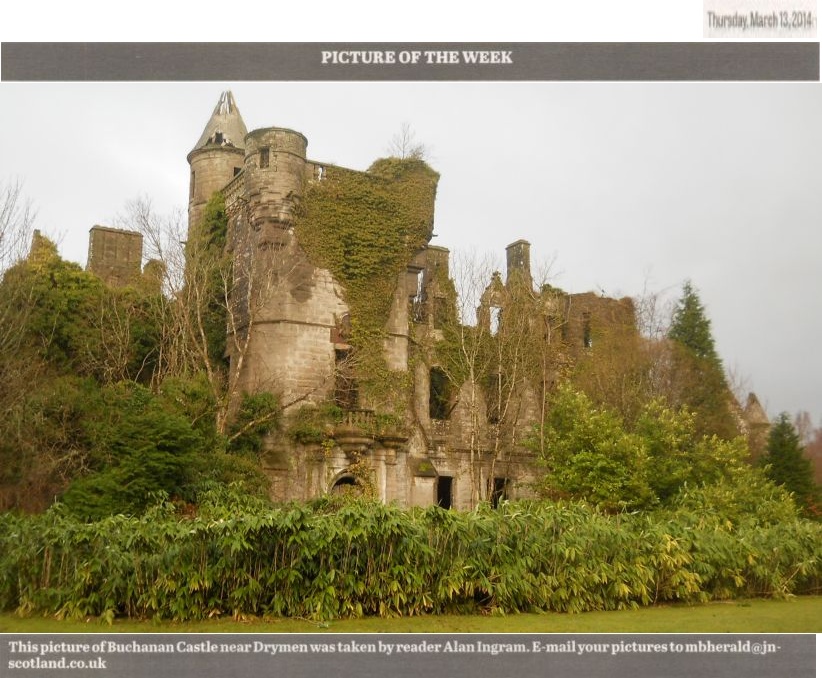
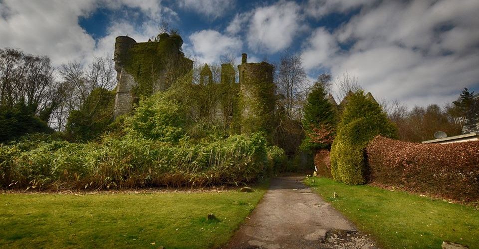
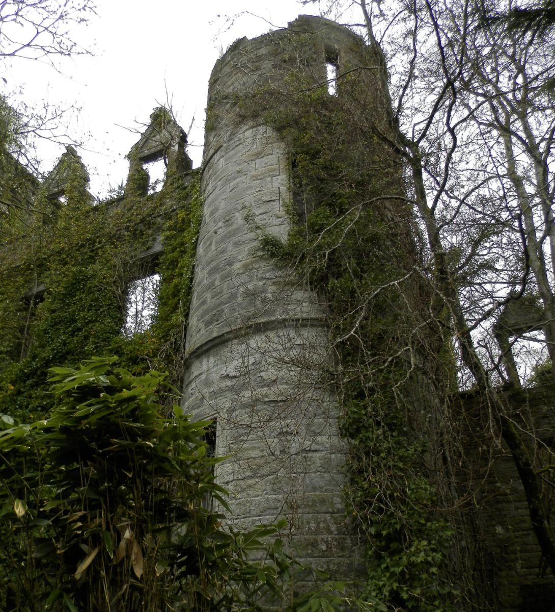
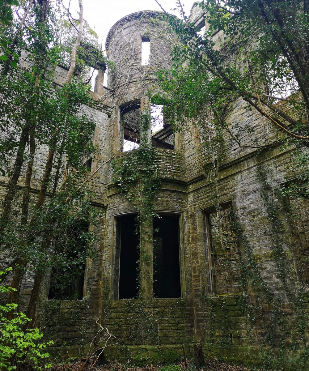
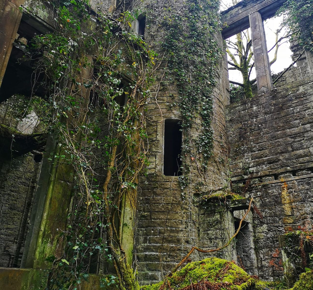
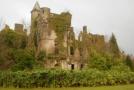
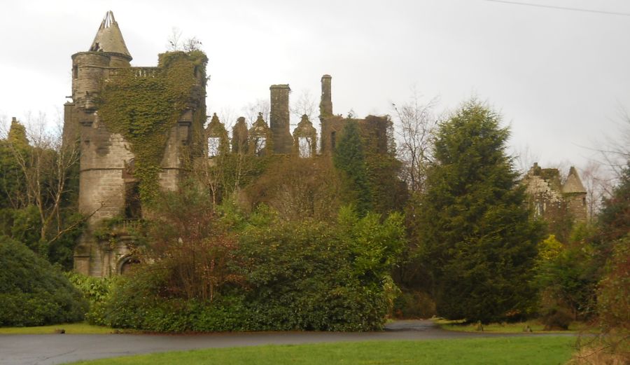 Buchanan Castle Buchanan Castle is a ruined country house originally the home of the Buchanan family but passing to the Grahams in the 17th century. The old house burned down in 1850 and the present house built in 1854. 1930s plans for it to serve as a hotel were dashed by World War II when its function became altogether more practical. It was firstly a hospital ( Nazi Rudolph Hess taken there for treatment after his crash landing near Glasgow ) and then a post-war school. It remains the seat of the Clan Graham and is a category "B" listed building. |
 |
 Buchanan
Castle
|
 Buchanan
Castle
|
 Buchanan
Castle
|
 Buchanan
Castle
|
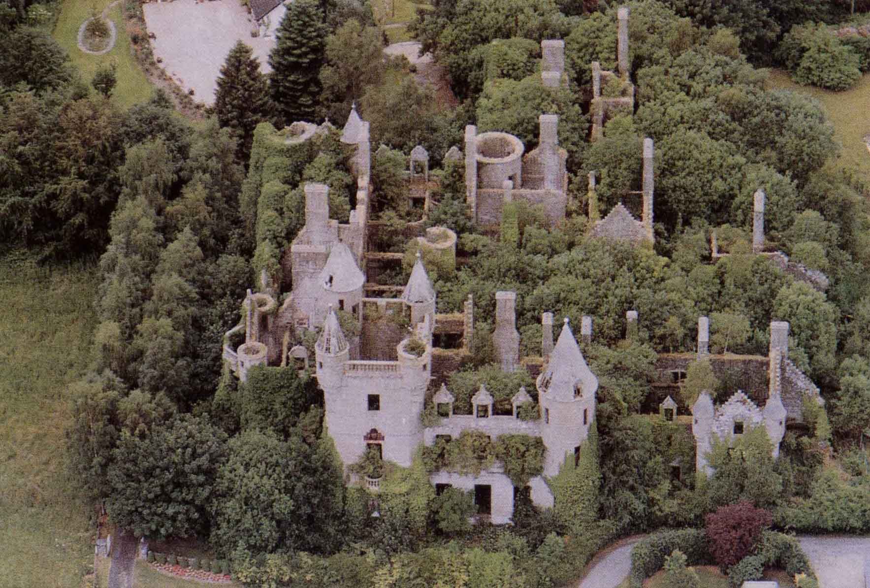 Aerial
view of Buchanan
Castle
|
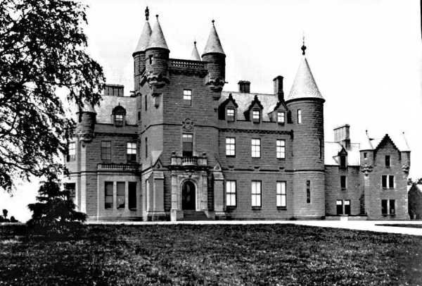 Buchanan
Castle in the 1890s
|
 Clubhouse
of the Buchanan Castle Golf Club |
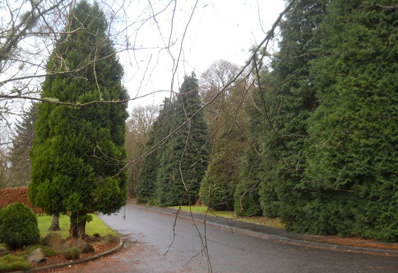
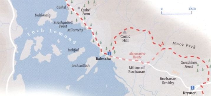
 Loch
Lomond
on track to Buchanan Smithy |
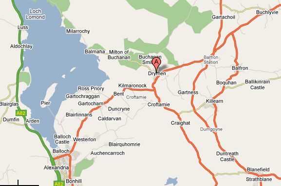 Map of
Drymen Area
|
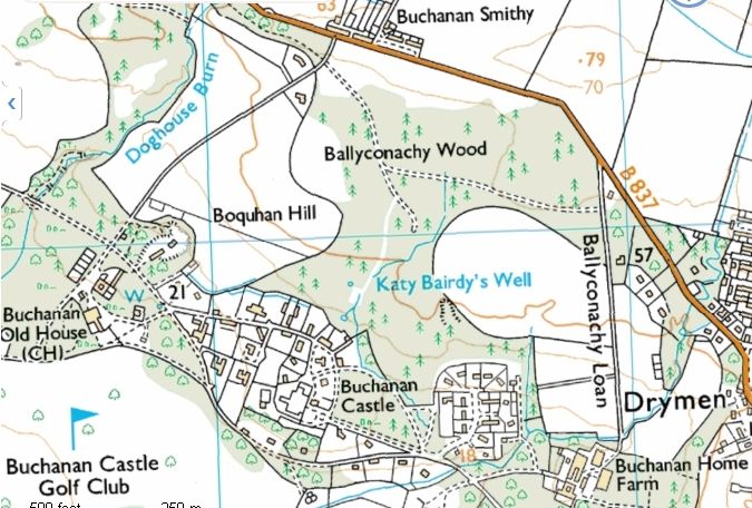 Map of the
Buchanan Castle Area
|
 |
 :: Drymen
Gallery
:: Drymen
Gallery  :: West Highland
Way
:: West Highland
Way 
Glencoe | Ben Nevis | Knoydart | Isle of Skye | Isle of Arran
The Eastern Highlands | The Central Highlands | The Southern Highlands | The NW Highlands