  |
Bearsden & DistrictEndrick Water |
  |
| |
Bearsden & DistrictEndrick Water |
|
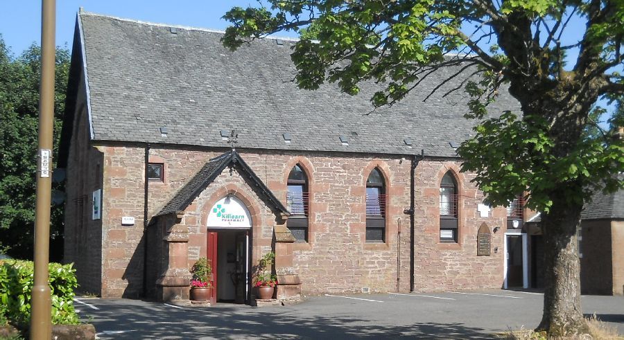 Former
Church in Killearn
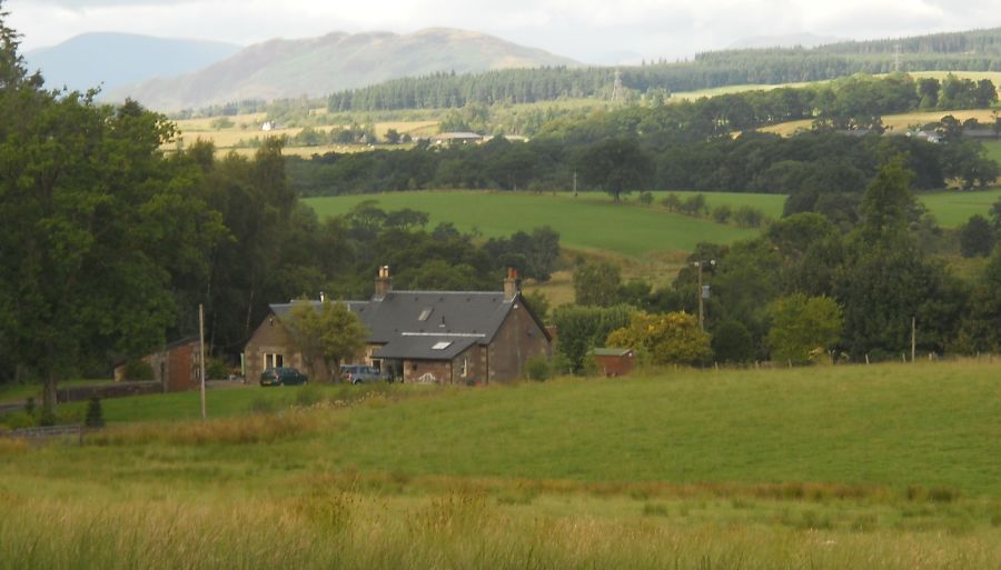
The village is some 15 miles ( 24km ) to the north of Glasgow and 7 miles ( 11km ) to the east of Loch Lomond Killearn lies on the northwest flank of the Campsie Fells |
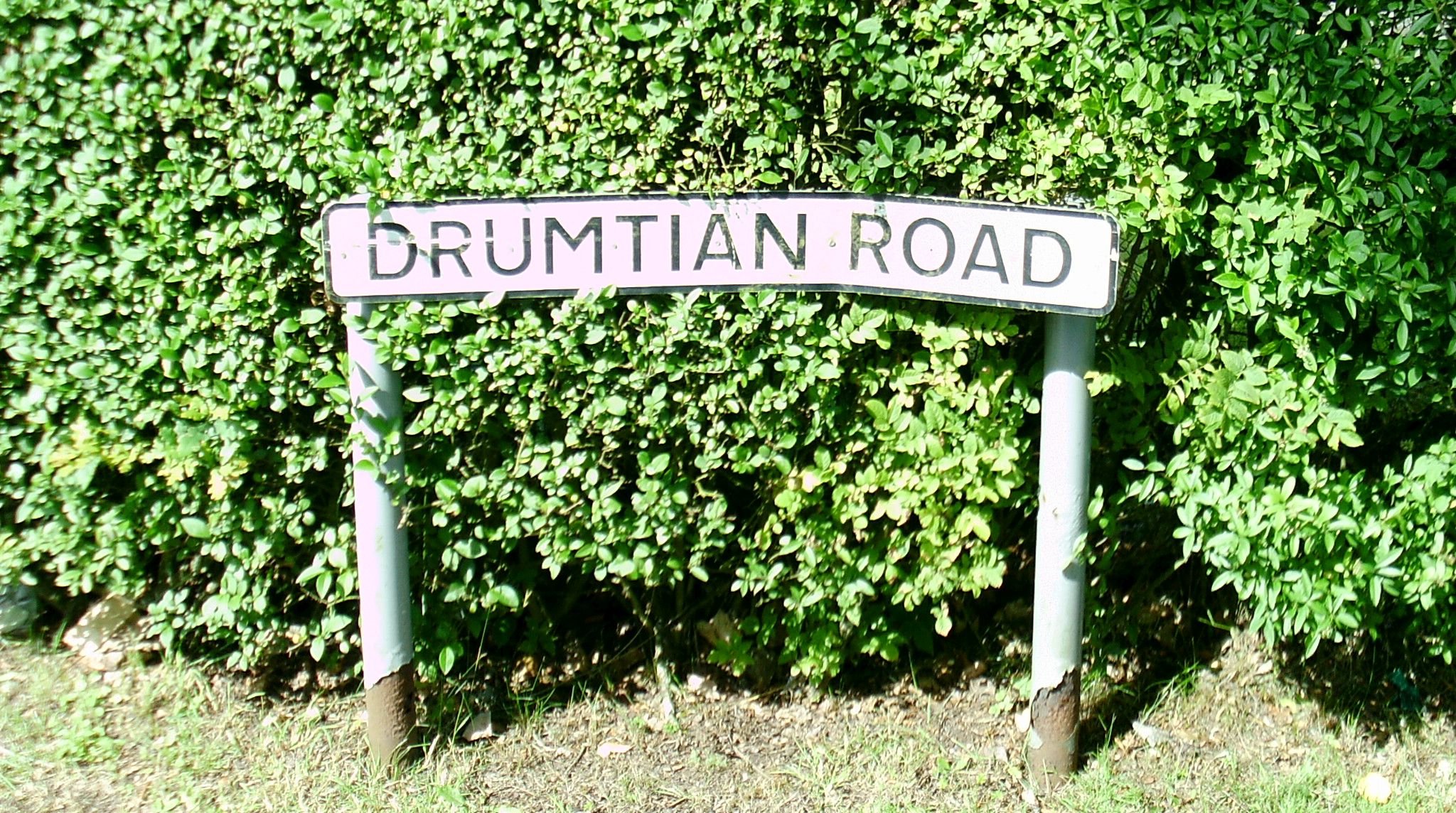 Drumtian
Road
|
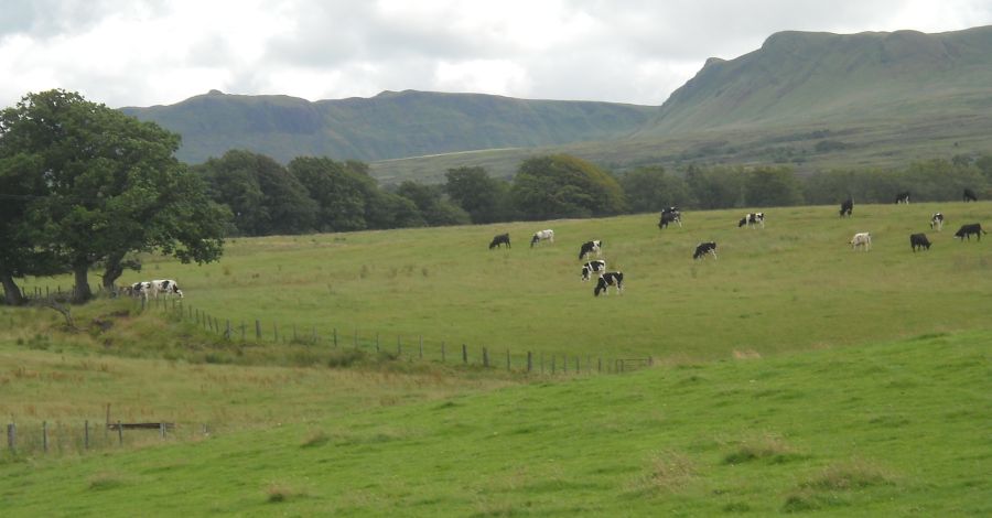
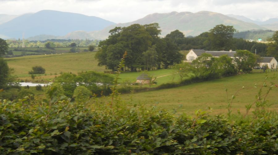 Luss
Hills and Conic Hill
from Drumtian Road |
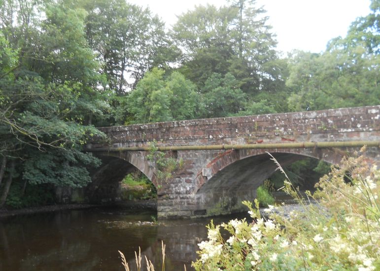
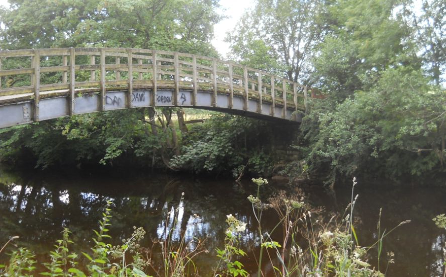 Drumtian
Bridge
over the Endrick Water |
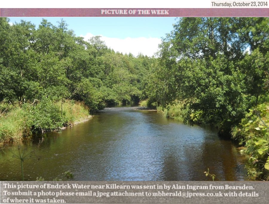
 The
Endrick Water
|
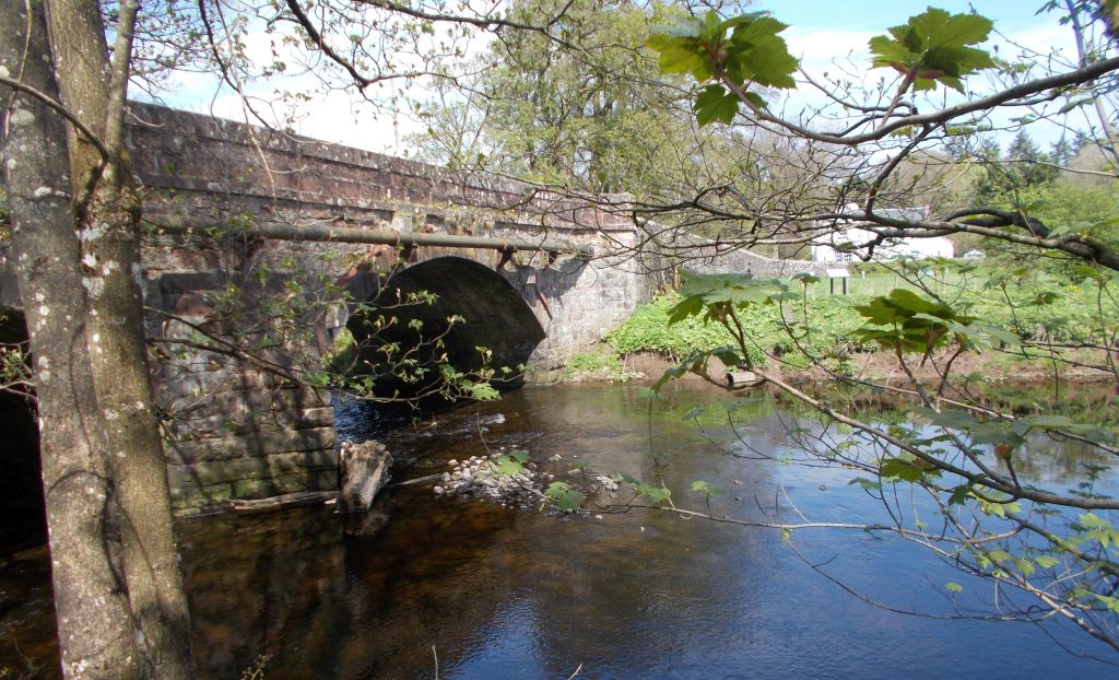
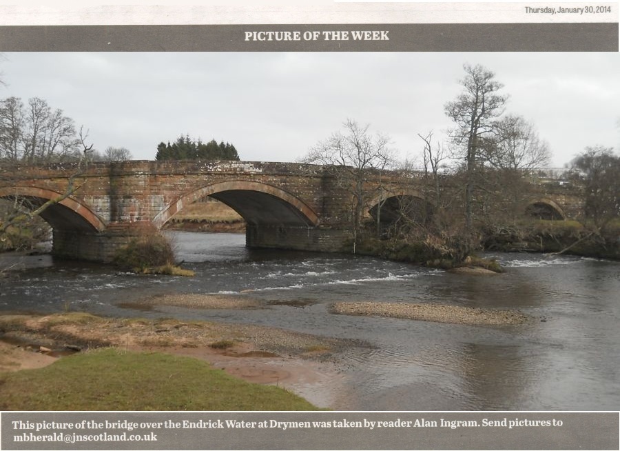
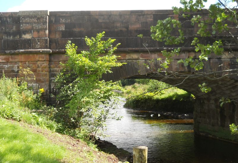 Bridge
in Balfron Station Road
over the Endrick Water. |
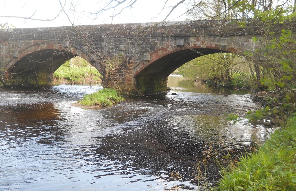
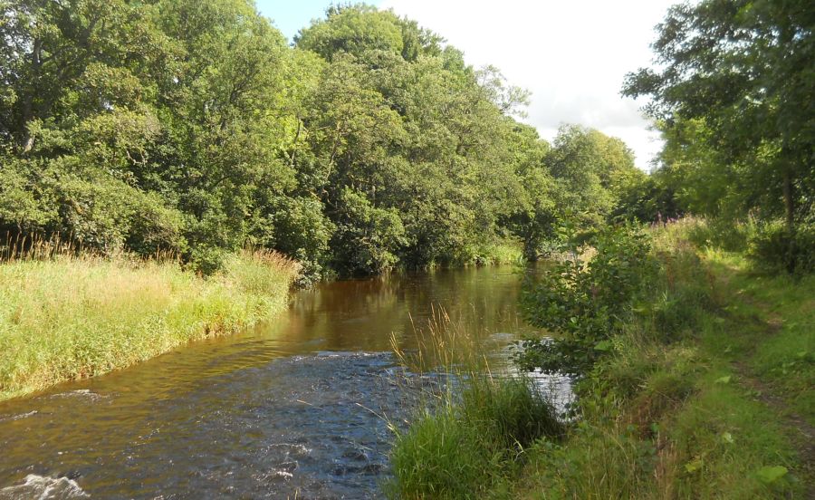 The Endrick Water.
|
 |
 |
 |
 |
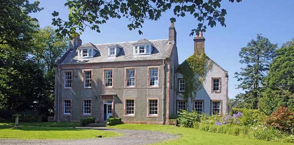 Boquhan House Boquhan House set in unspoilt countryside between the villages of Balfron and Killearn Also known as Boquhan Old House, the Category B listed building dates from 1784. The 1897 publication Strathendrick and its inhabitants from early times”, by John Guthrie Smith, reveals that the lands known as Meikle Boquhan had been in the ownership of the Buchanans of Boquhan since at least the early 17th century. The present house would have been built for Thomas Buchanan, seventh of Boquhan, who succeeded his father Hugh in 1761. A writer in Glasgow, and Procurator-Fiscal to the Commissary of Hamilton and Campsie, he died unmarried in 1803 and left a will which made his third sister, Elizabeth, his heir, as “he favoured her, and she had kept his house for many years. The house may have been the work of the architect David Henderson, whose son John designed the Assembly Rooms on Edinburgh’s George Street. It was extended around 1900 with the addition of the offset east wing. It is described in The Buildings of Scotland: Stirling and Central Scotland by John Gifford and Frank Arniel Walker as “archetypal” of the smaller country house of the later 18th century “simple five-bay, two storeyed houses, most skew gabled with a pedimented façade and a central doorway leading directly to a stair at the rear.” Lacking only a roofline pediment, Boquhan House conforms almost exactly to this description. The sundial at the front of Boquhan House is a registered monument. |
 Luss Hills and Conic Hill from Jenny Gunn's Loan |
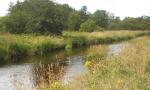
 Fintry
Hills and Campsie
Fells
from Killearn |
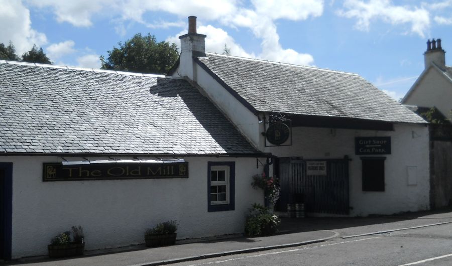 The
Old Mill in Killearn
|
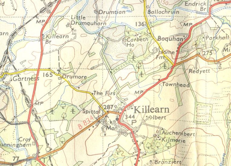
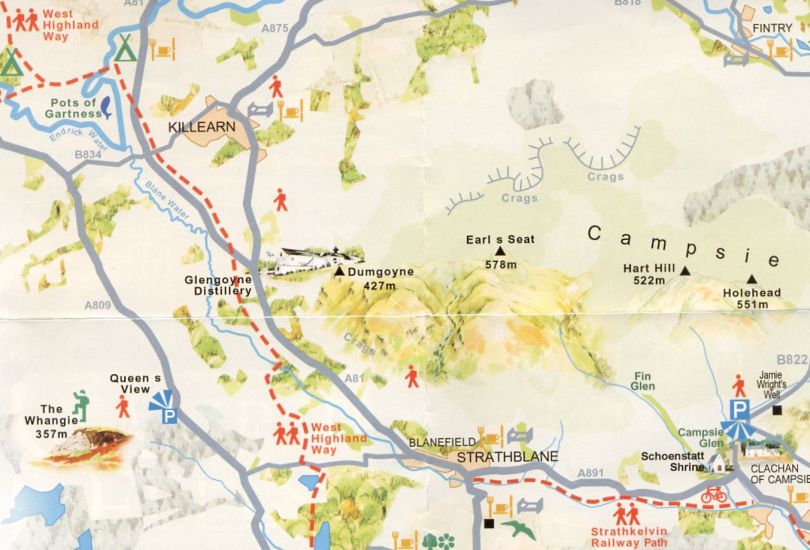
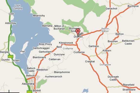 Map of
Killearn Area
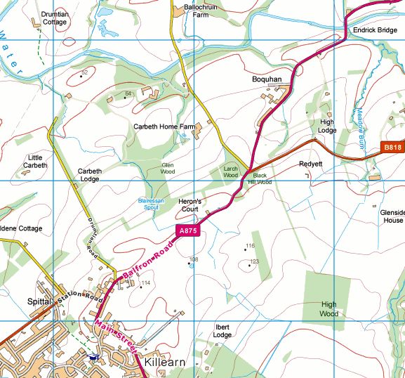
|
 Map of
Killearn Area
|
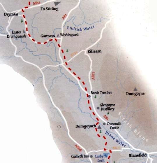
 Map of
Endrick Water Walk
|
 |
 |
 |
KILLEARN / ENDRICK WATER WALK - ROUTE DESCRIPTION:
 ::
Killearn
Gallery
::
Killearn
Gallery  :: Campsie
Fells
:: Campsie
Fells  :: West Highland
Way
:: West Highland
Way 
Glencoe | Ben Nevis | Knoydart | Isle of Skye | Isle of Arran
The Eastern Highlands | The Central Highlands | The Southern Highlands | The NW Highlands


Google
Analytics