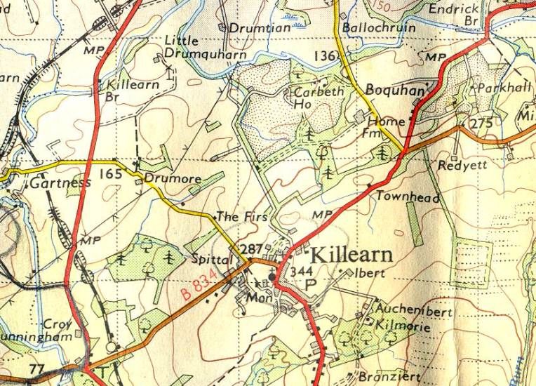
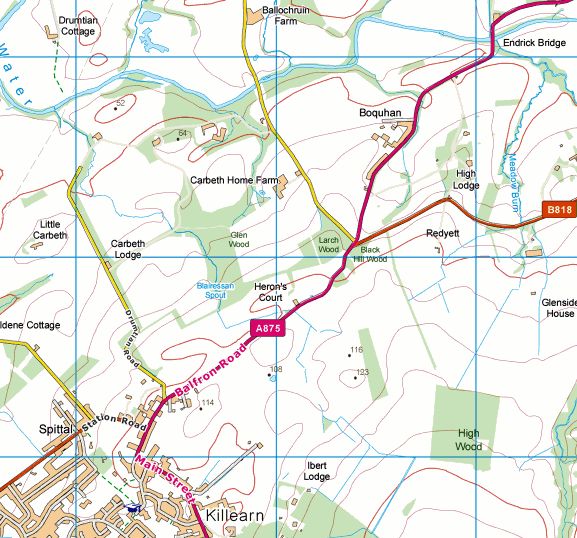
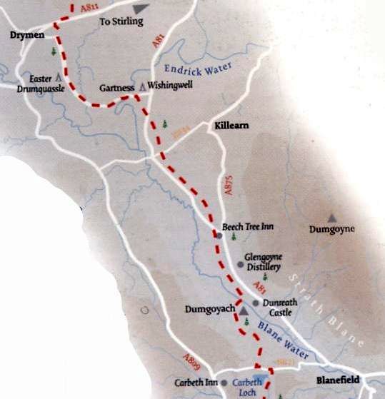
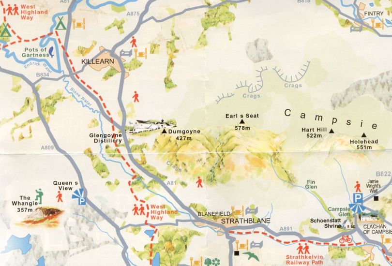
This
is a pleasant, circular three mile walk from Killearn
which crosses the River Endrick through the Carbeth Estate.
It is important to mention that the walk also crosses an
awkward small
tributary, which flows into the Endrick,
and can be difficult to negotiate - especially in the rainy
season.
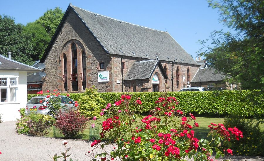
The walk starts at the Killearn health centre car park at
the corner of
Station Road, and turns left onto the A875 in
the direction of Balfron. After passing the pharmacy the
walk
turns left
opposite Killearn Tennis Club onto the
narrow Drumtian Road and heads down hill into the
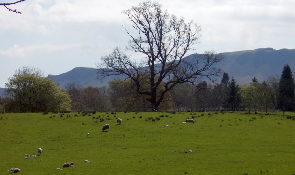
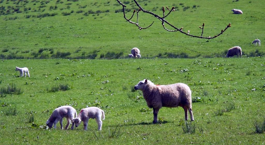
countryside of open
fields, farms and estates.
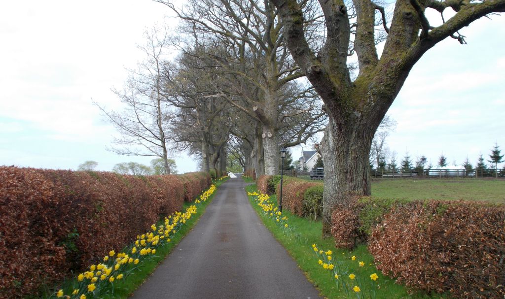
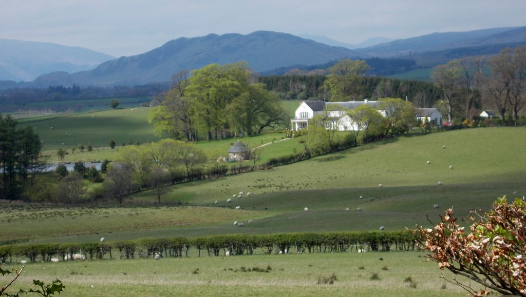
It passes Little Carbeth Estate on the left, Carbeth Estate
on the right
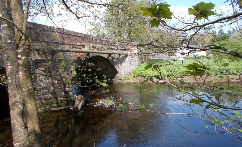
and at the foot of the hill turns left into the lane, signed
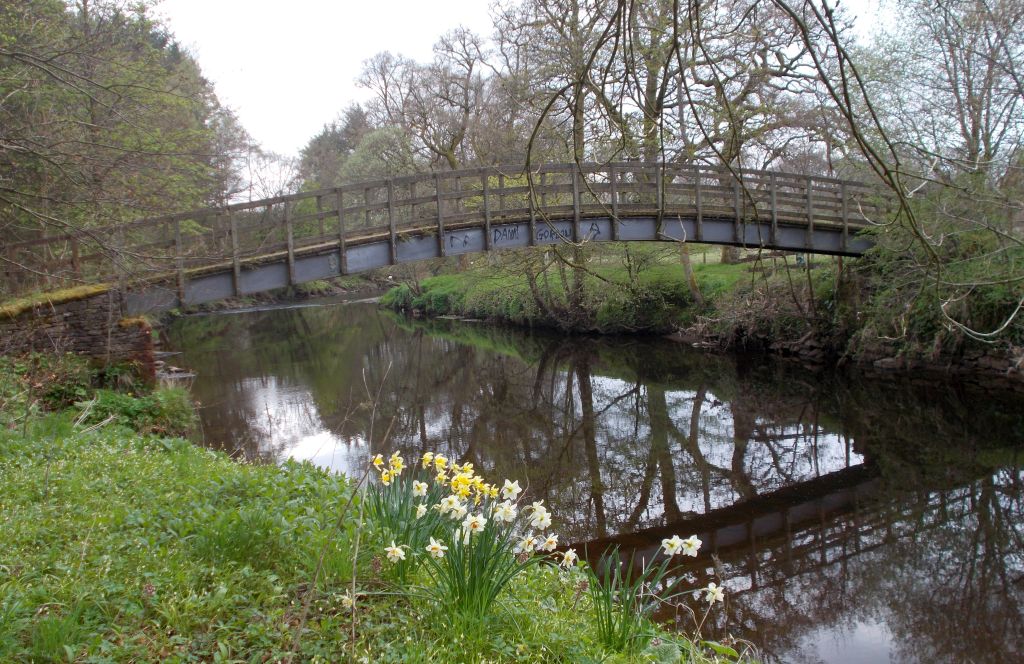
“Public Path Drumtian Ford ". At the ford there is an
arch
wooden bridge to walk across the River Endrick.
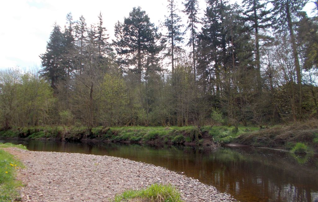
With the substantial depth of water in the river it is quite
amazing
that vehicles were once using this ford to cross over.
It is also a popular area for fishing by the Loch Lomond
Angling
Improvement Association ( LLAIA ).
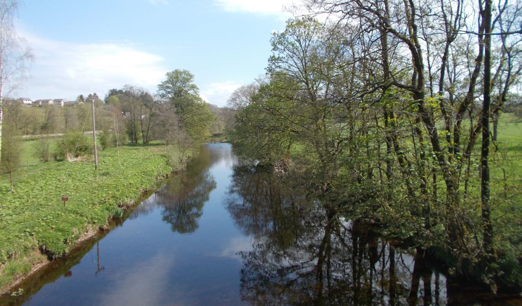
Leaving the bridge, the walk turns right along the riverbank
and passes
by the track on the left as the entry / exit route for the ford.
At the electric fence sign, stiles have been put in place
into the field
for easier and safer walking, compared to the rough path on the bank.
It is pleasing that one of the stiles has been positioned
beside a new
seat on the bank in memory of Malcolm ‘Endrick’ Prescott.
This thoughtfulness has, however, not extended to the next
stage of the
walk and the crossing of the tributary which flows into the Endrick.
Without a bridge some stepping stones are in place at the
estuary, but
it is awkward and great care is required on crossing.
It is to be hoped that some thing will be put in place in
the future by
the relevant authority. Having crossed the tributory the walk passes by
the Wester Ballochruin Woods Project on the wider banking
which
is
‘regenerating the native woodland and wildlife habitats.
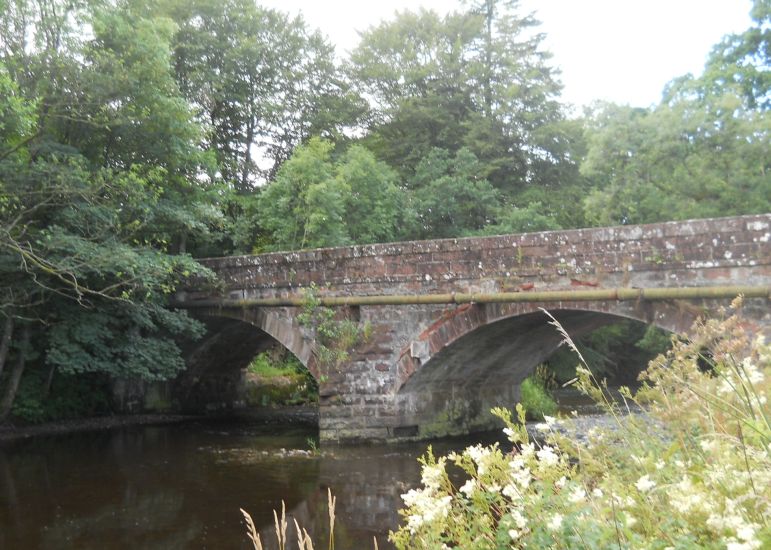
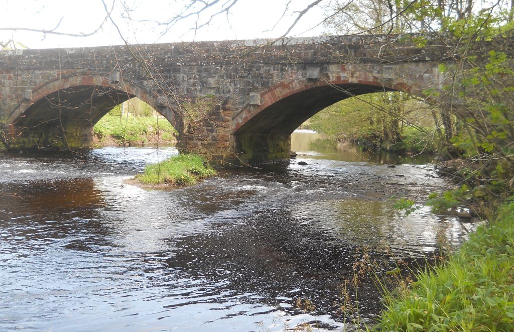
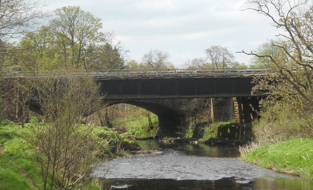
It then climbs up and turns right onto the footpath
alongside the road
bridge. Over the bridge the walk enters the second track on the
right, which bends downhill, first to the right and then
to the
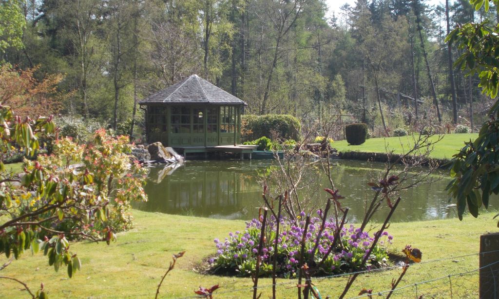
left, before continuing ahead to pass by outbuildings, a duck pond and a
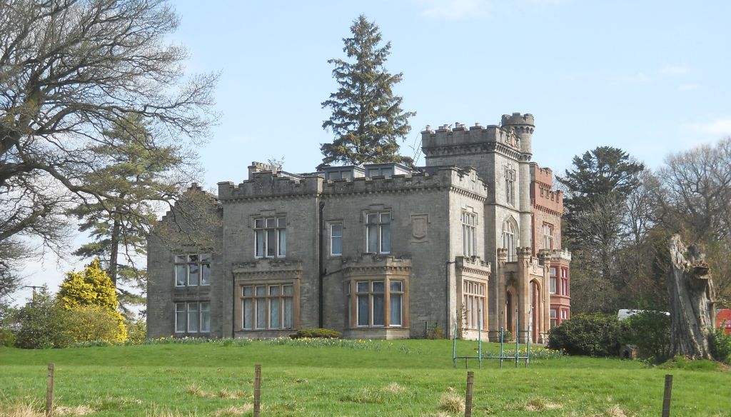
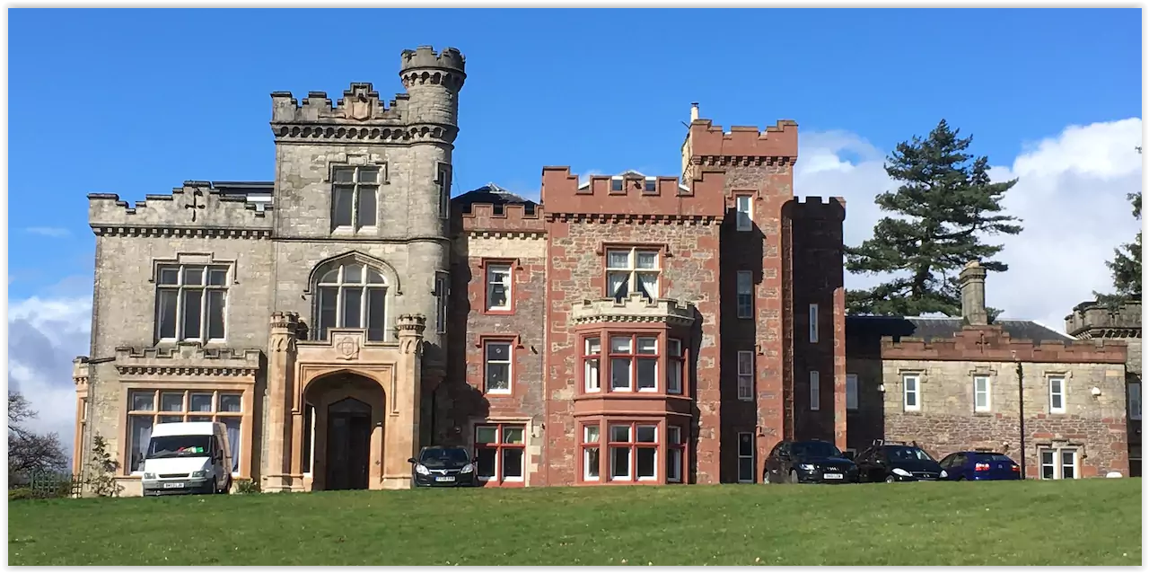
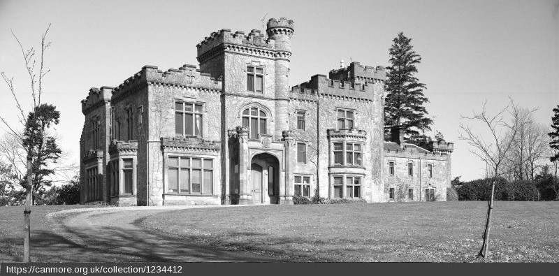
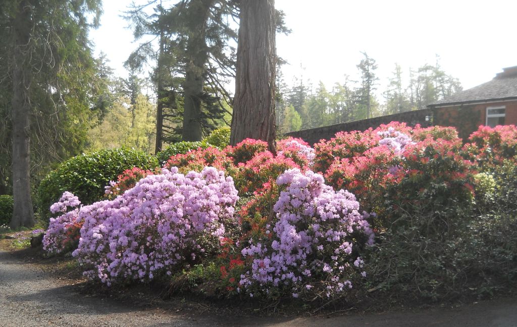
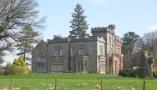
walled garden within the 100 acre Carbeth Estate. There is
a “No
Entry" sign for vehicles, but walkers are allowed on this track which soon
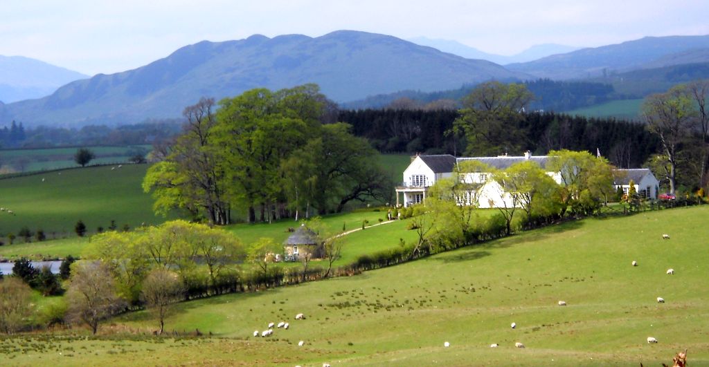
passes the mansion on the left of Carbeth
House, built in the 17th century and converted into flats in the
1980s.
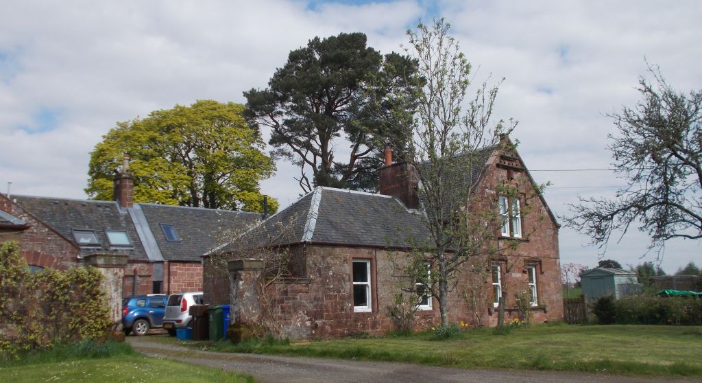
The walk passes through a gate into the Stables Cottages and
turns left
to exit through another gate which leads to Drumtian Road.
On the right is the signed path previously taken to Drumtian
Ford and
continuing up the hill retraces the outward walk back to the health centre
car park.


 :: Endrick
Water
Gallery
:: Endrick
Water
Gallery 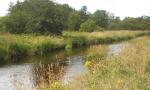 ::
Killearn
Gallery
::
Killearn
Gallery 


