|
Clyde Walkway Garrion to Crossford
|
  |
| |
Clyde Walkway Garrion to Crossford
|
|
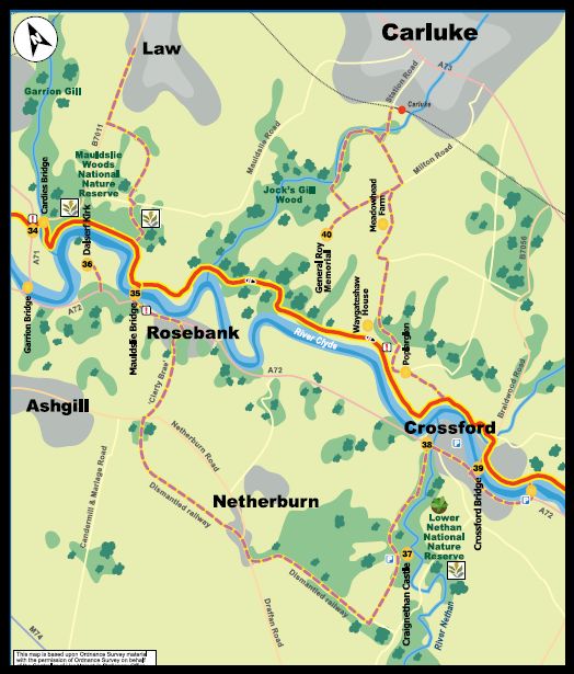
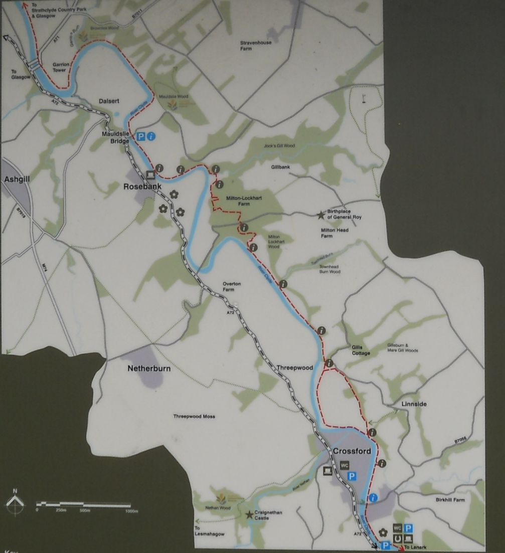 Map
of the River Clyde Walkway
from Garrion Bridges to Crossford Village ( Note: Click here or on Map for large format version ) |
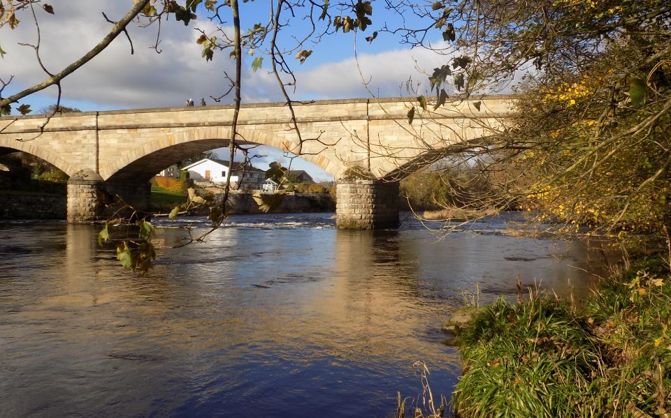
 Road
Bridge ( built in 1817 )
over the River Clyde at Garrion A second bridge to help overcome the traffic bottleneck was built in 2002 |
 |
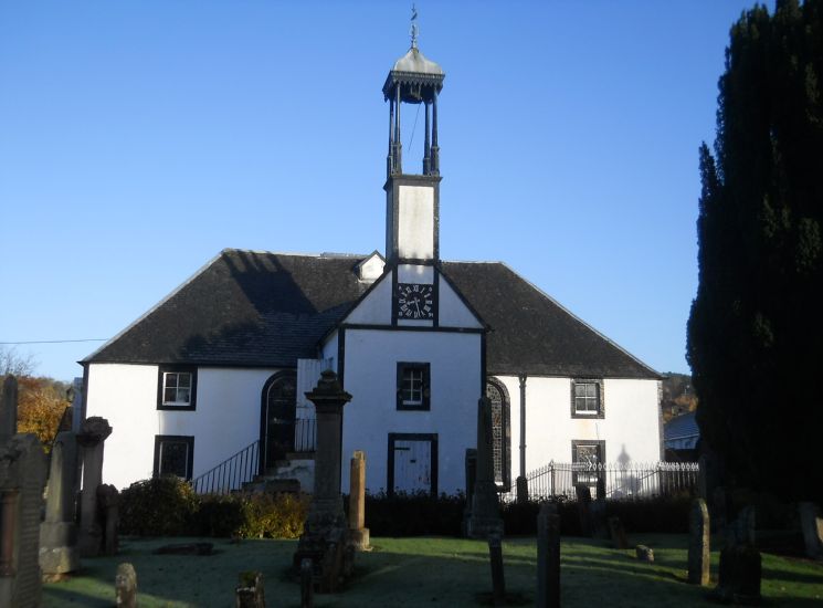 Dalserf
Church
Dalserf Village is on the banks of the River Clyde. The village kirk was built in 1655 and is a Category A listed building. |
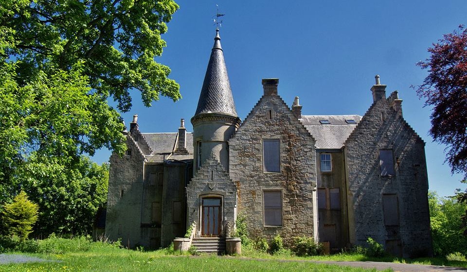
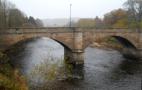
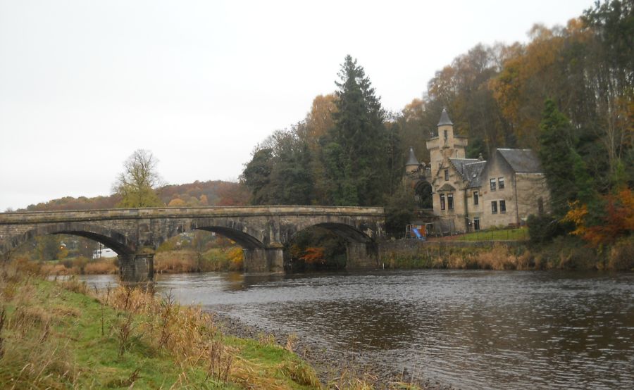 Gatehouse
and Mauldslie Bridge
over the River Clyde Mauldslie Bridge and Gatehouse form the entrance
to one of Lanarkshire's oldest hunting estates.
The bridge was built in1861
and used to lead to Mauldsie Castle
built in 1793 but now demolished.
The Bridge and Gatehouse
is a category "A" listed building |
 Gatehouse
to Mauldslie Castle
|
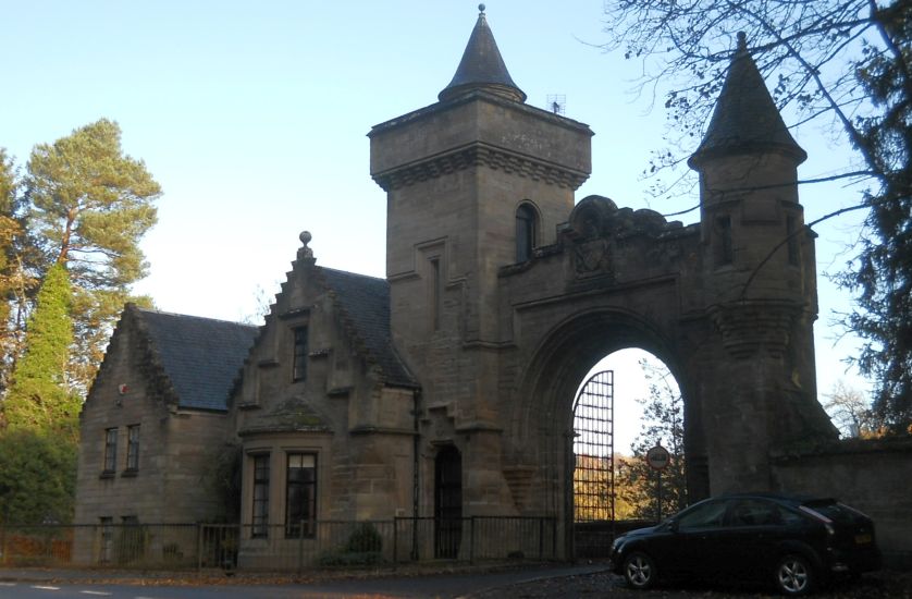 Gatehouse
at Mauldslie Bridge
|
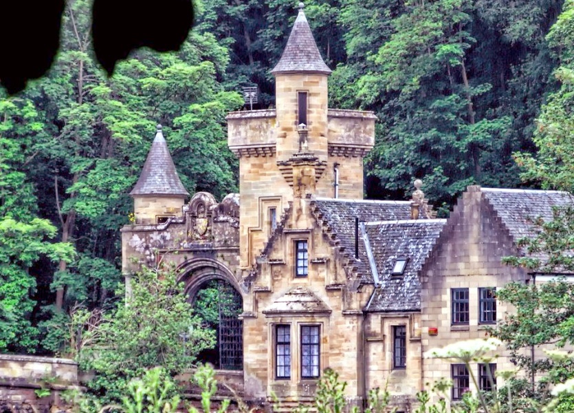
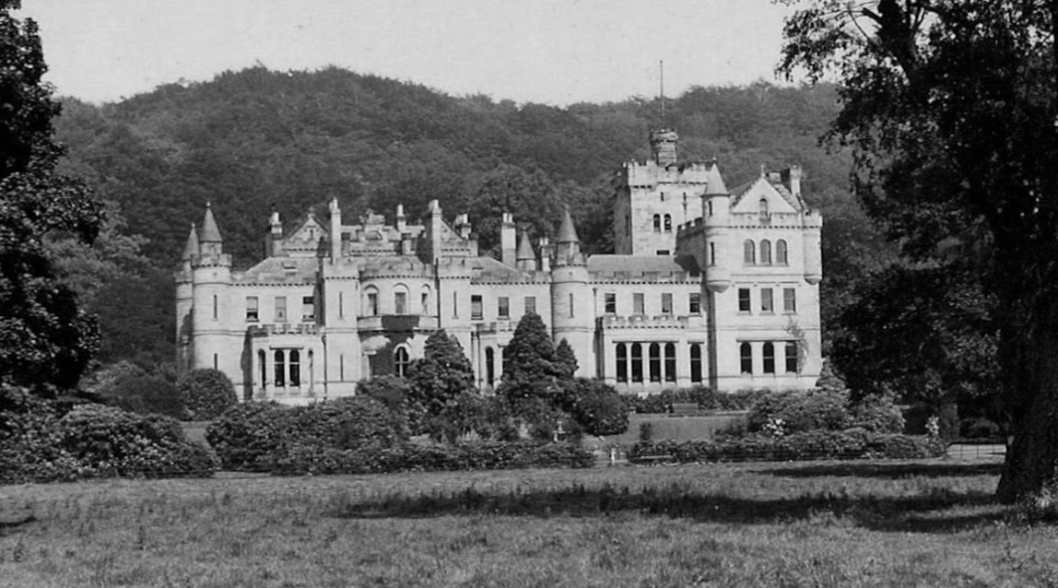 Mauldslie
Castle
Mauldsie
Castle was built in 1793 but now demolished. |
 Garrion
Tower in Mauldslie Estate
|
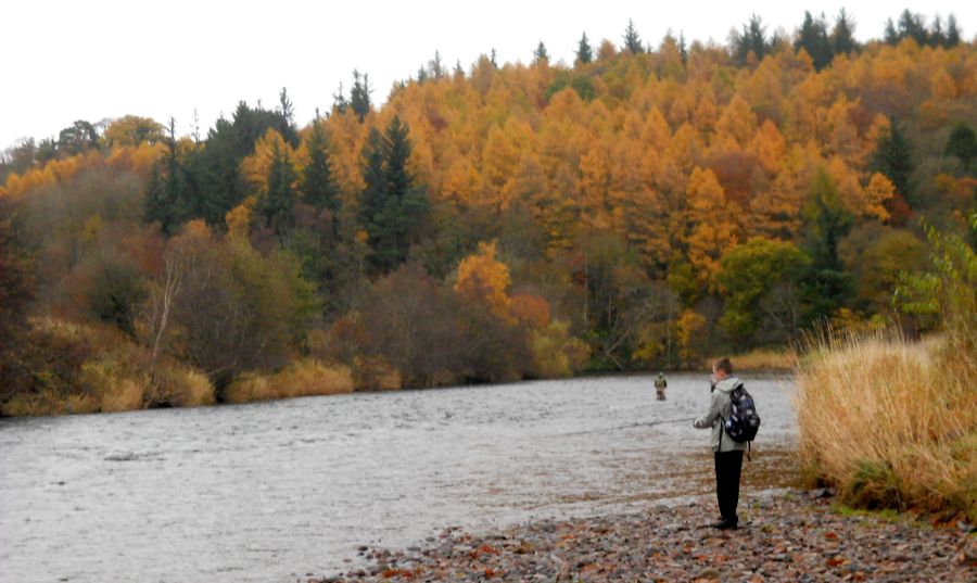
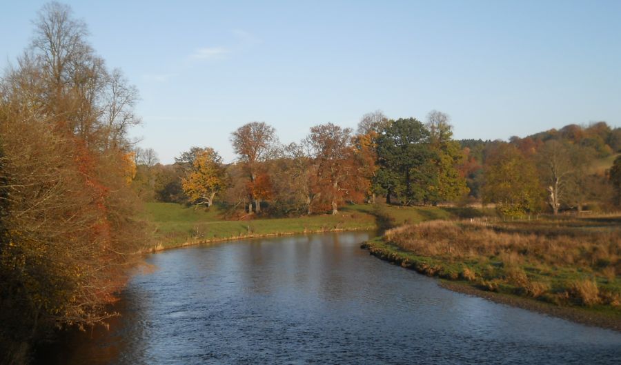 River
Clyde from
Mauldslie Bridge
|
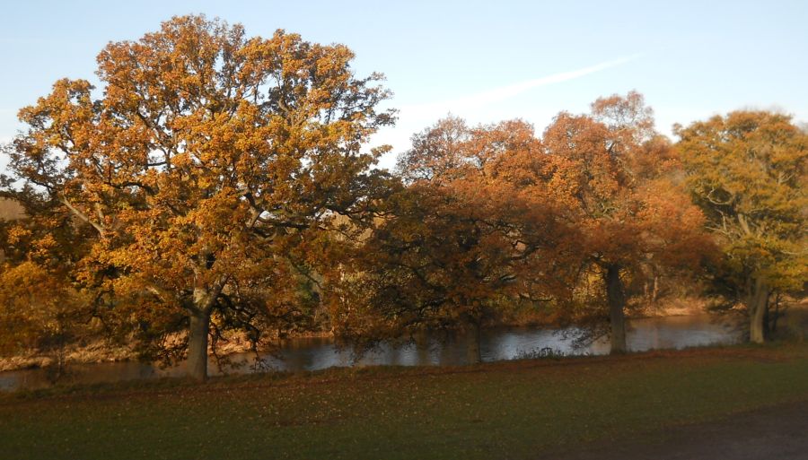 Trees
alongside the River
Clyde
|
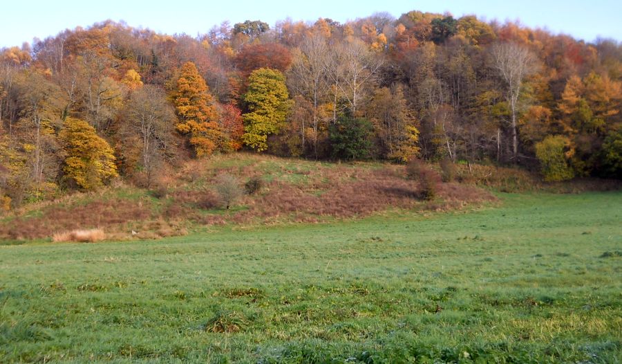 Woods
and meadow
above the River Clyde walkway. Maudslie Woods were once Royal Hunting Grounds. |
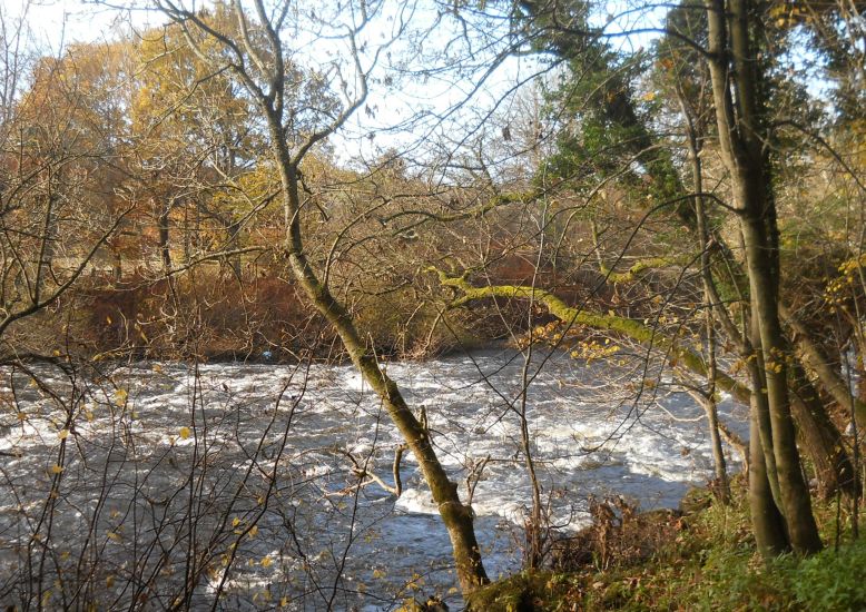 Rapids
in the River Clyde
|
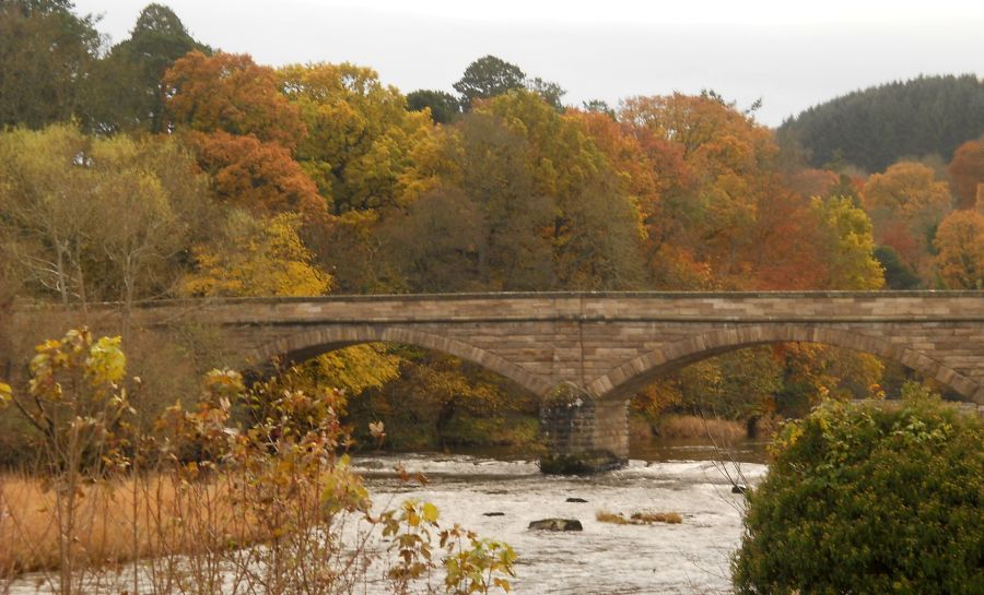 Road
bridge over the River Clyde
at Crossford Village |
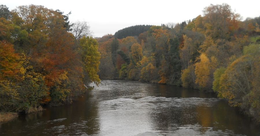 River
Clyde from Road Bridge
at Crossford Village Crossford Village is on the Clyde Valley Tourist Route |
 |
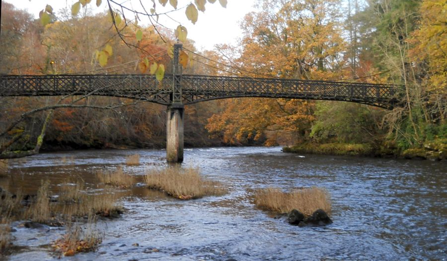 Suspension,
pedestrian bridge
over the River Clyde at Crossford |
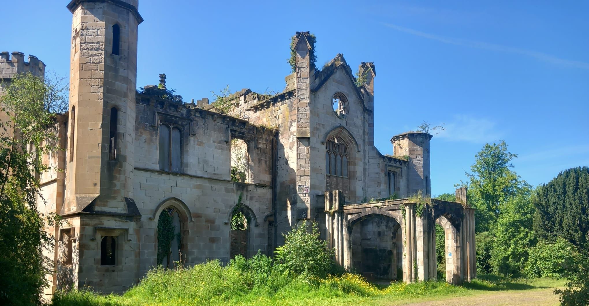 Cambusnethan Priory
|
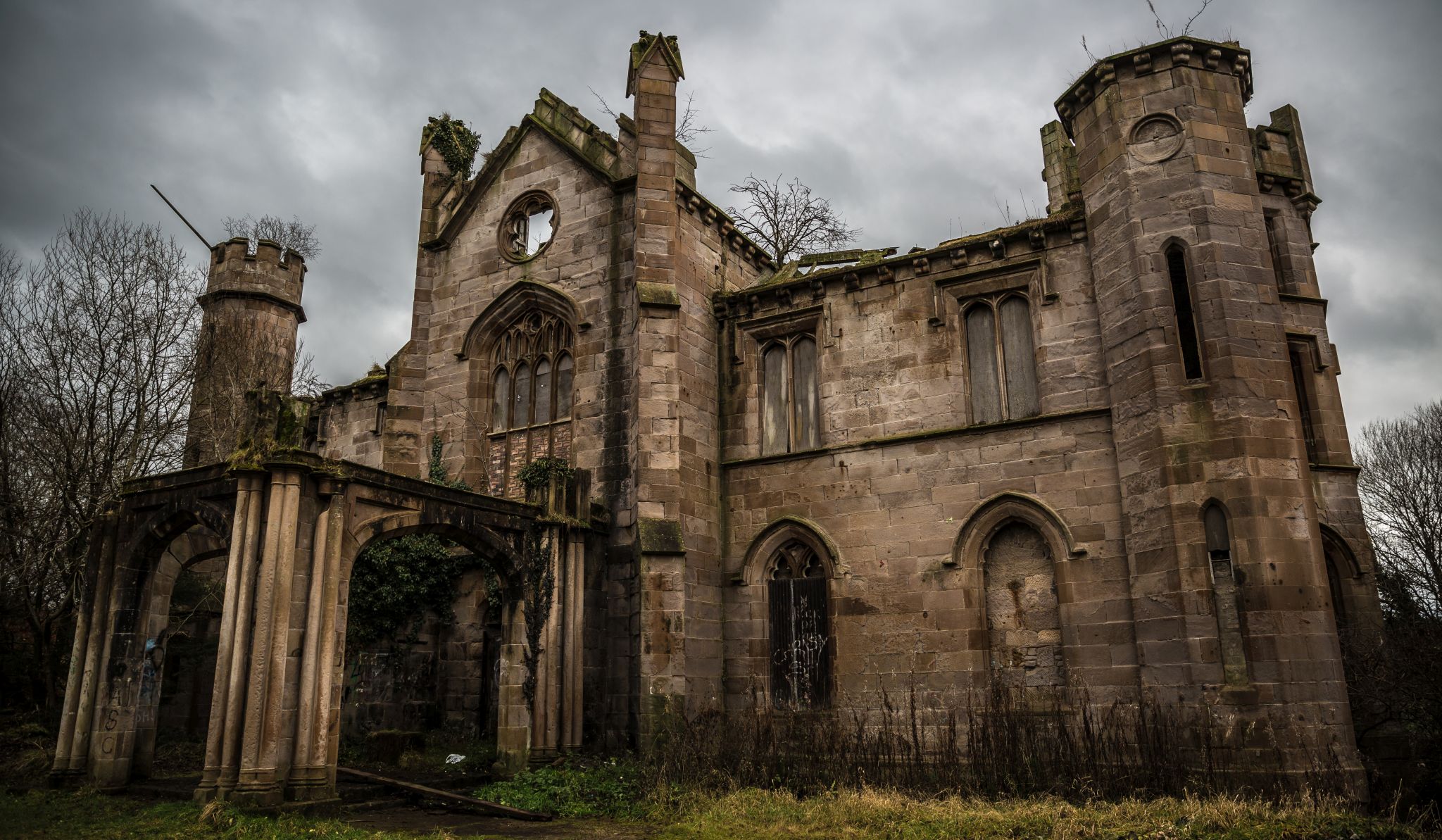 Cambusnethan Priory
|
 Map of
the River Clyde Walkway
to Crossford
|
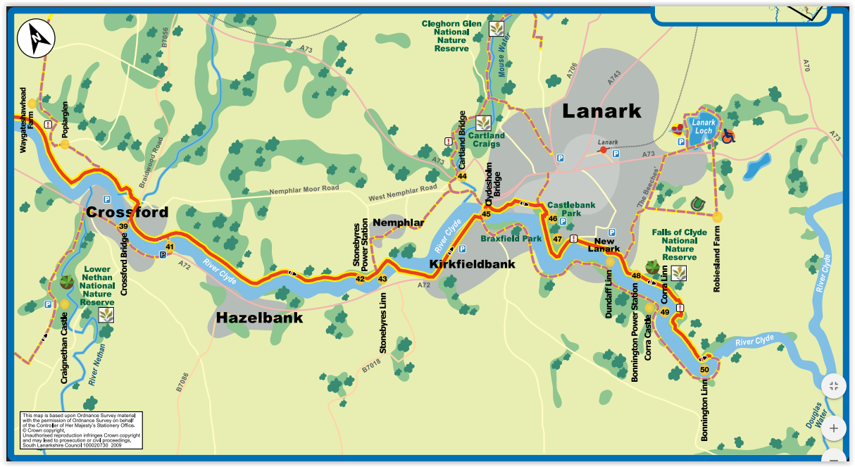 Map of
the River Clyde Walkway
from Crossford to New Lanark |
THE CLYDE WALKWAY:
 :: Falls of
Clyde Gallery
:: Falls of
Clyde Gallery  ::
Clyde River
Walkway
::
Clyde River
Walkway 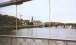
Glencoe | Ben Nevis | Knoydart | Isle of Skye | Isle of Arran | The West Highland Way
The Eastern Highlands | The Central Highlands | The Southern Highlands | The NW Highlands