 |
Bearsden & DistrictLennoxtown |
  |
| |
Bearsden & DistrictLennoxtown |
|
 |
 Schoenstatt beneath
the Campsie Fells
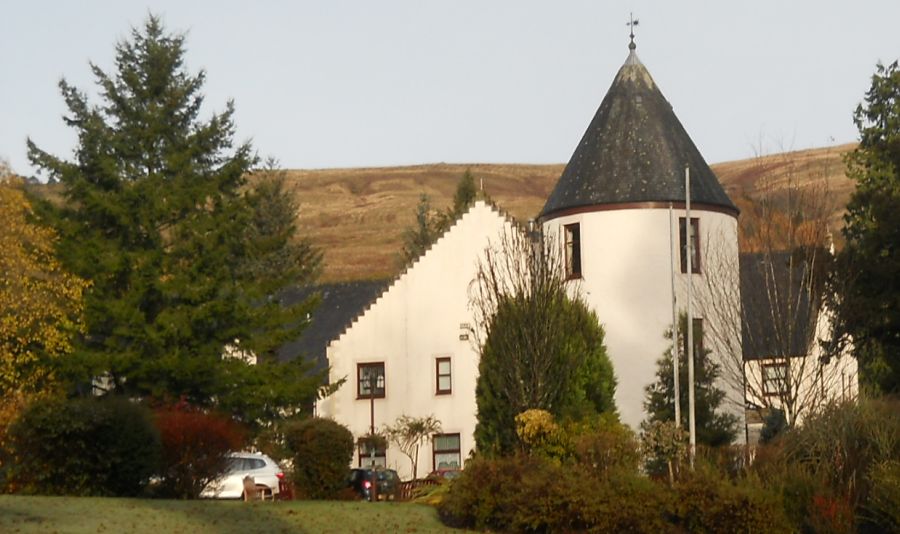
Origininally Ballencleroch House, Schoenstatt ( " beautiful place ") is named after a village near Koblenz in Germany. Schoenstatt is a Roman Catholic Movement that emphasizes a devotion to the Virgin Mary. There is a woodland walk within Schoenstatt |
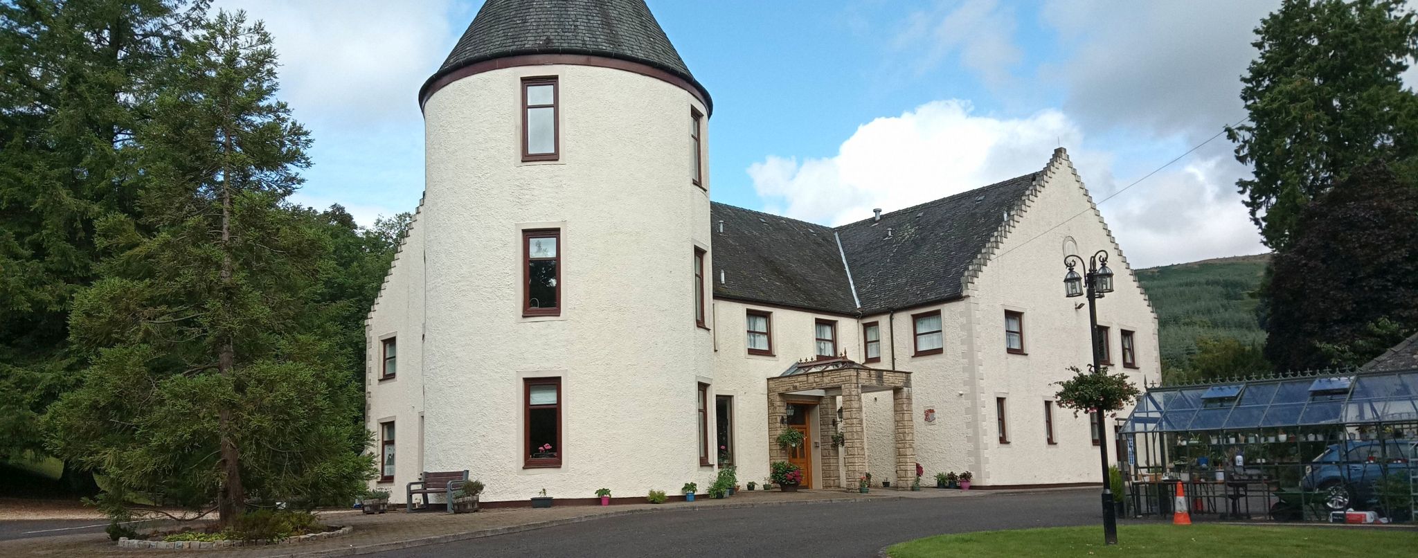
Ballencleroch House at Schoenstatt
|
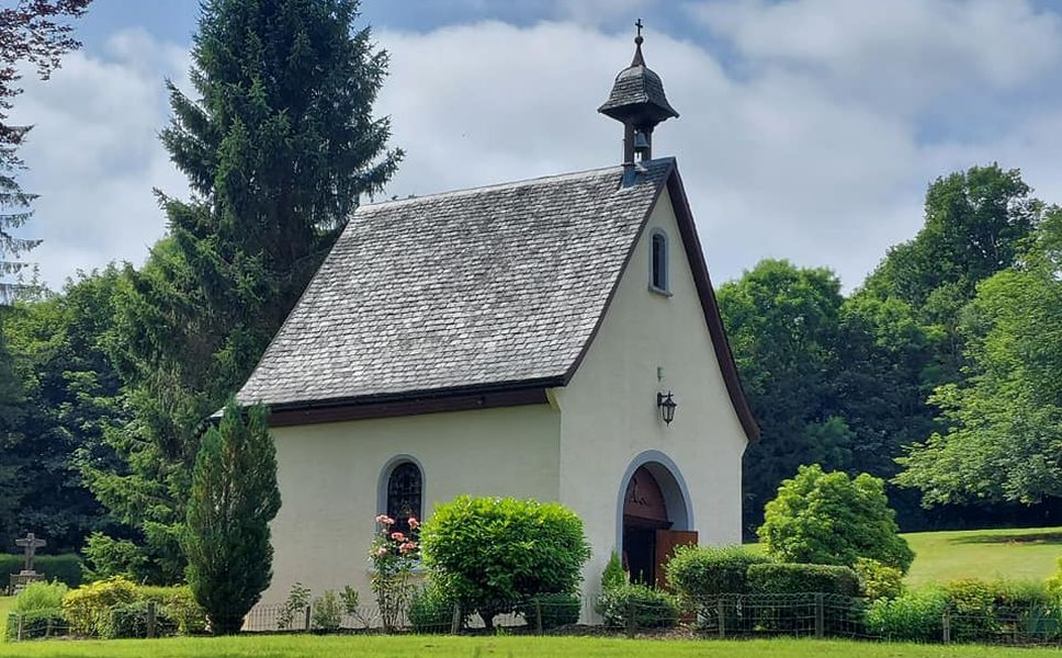 Chapel
at Schoenstatt
|
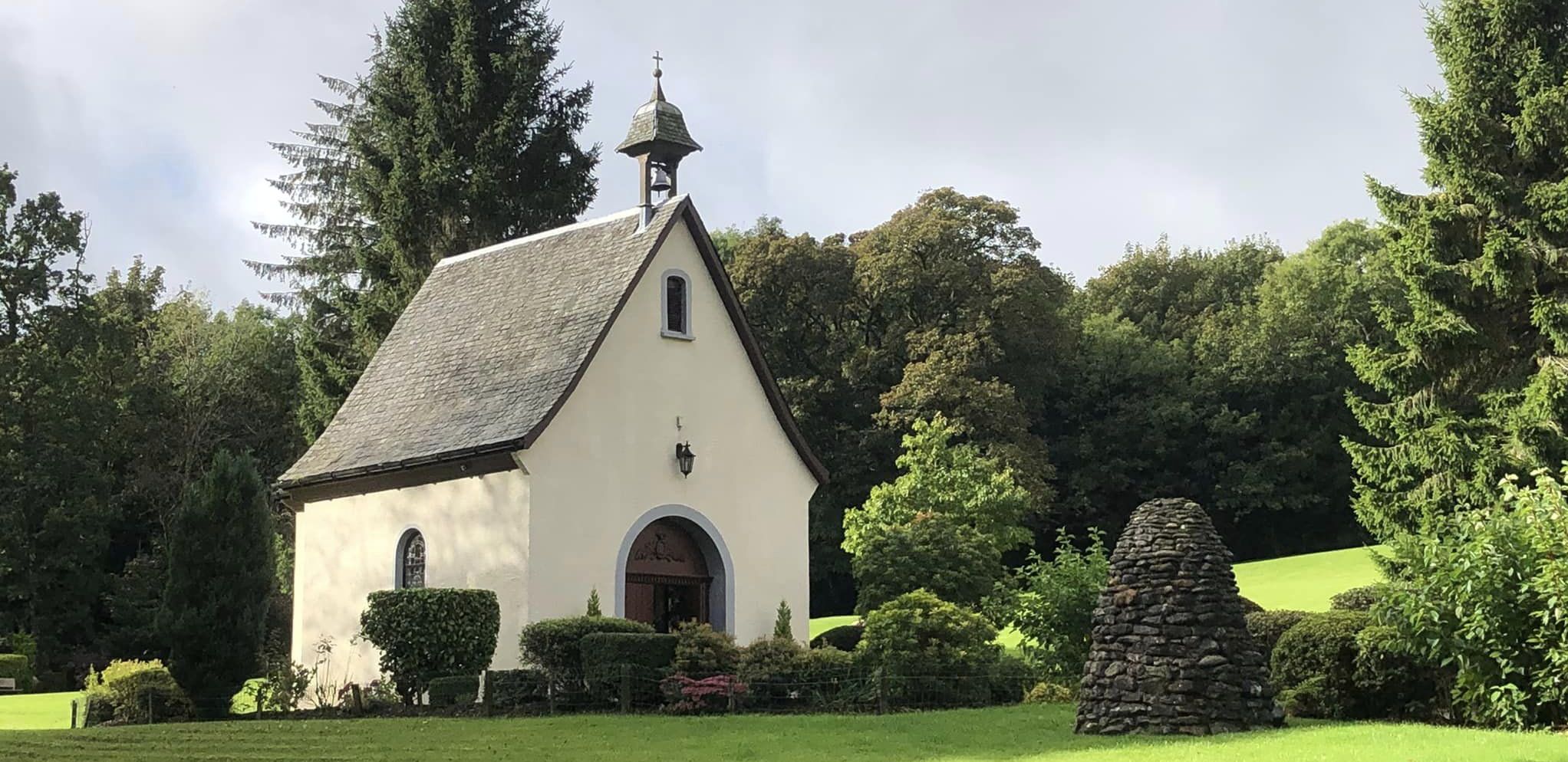 Chapel
at Schoenstatt
|
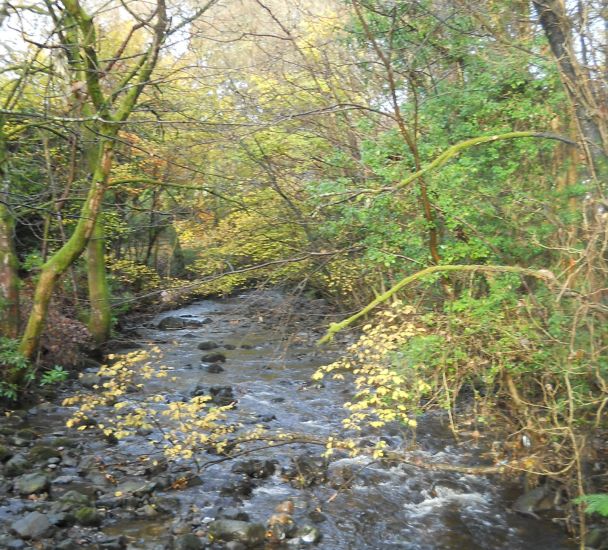 Woodland
walk
beside the Campsie Glen Burn through Schoenstatt |
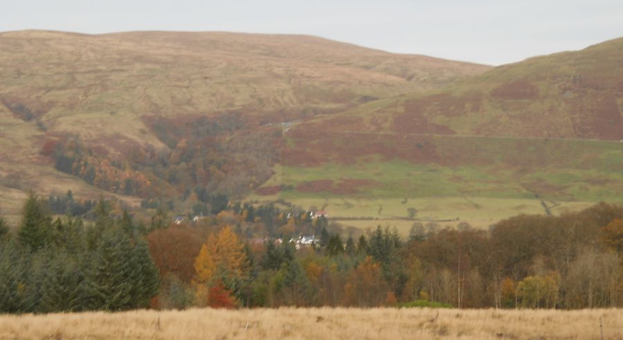
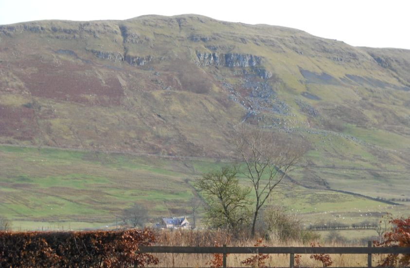 Campsie Fells
from the Thomas Muir Trail to Lennoxtown Between Clachan of Campsie and Lennoxtown the route follows the Strathkelvin Railway Path |
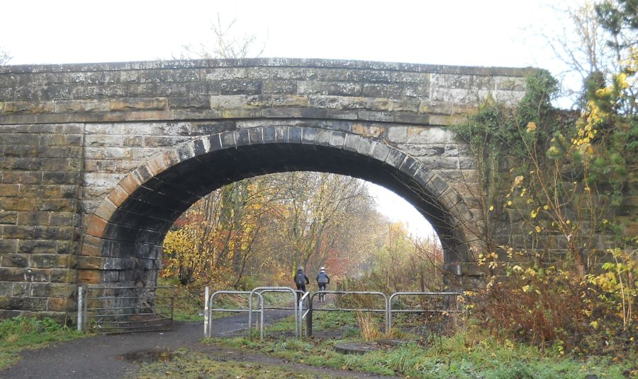 Bridge
over the Thomas Muir Trail
|
 |
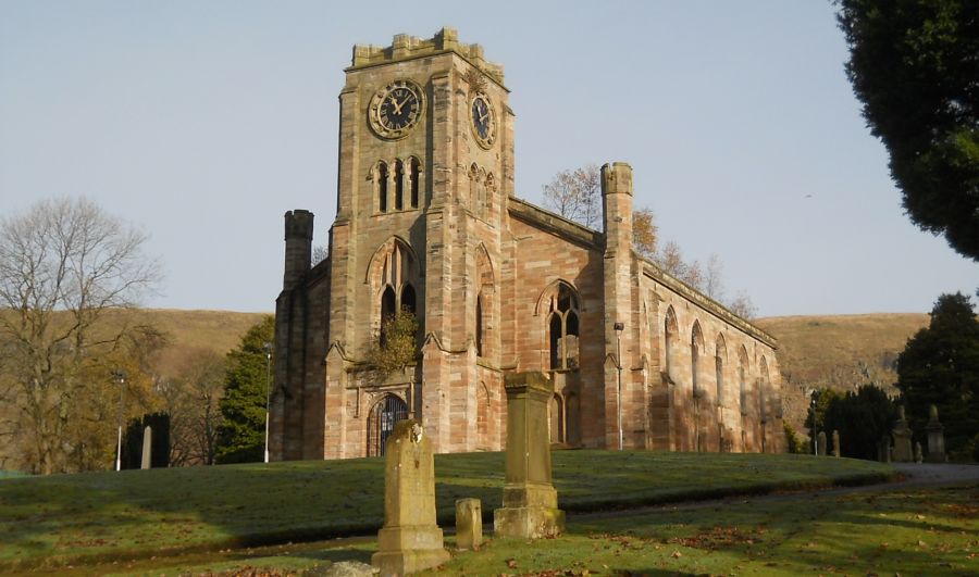 The
High Kirk in Lennoxtown
|
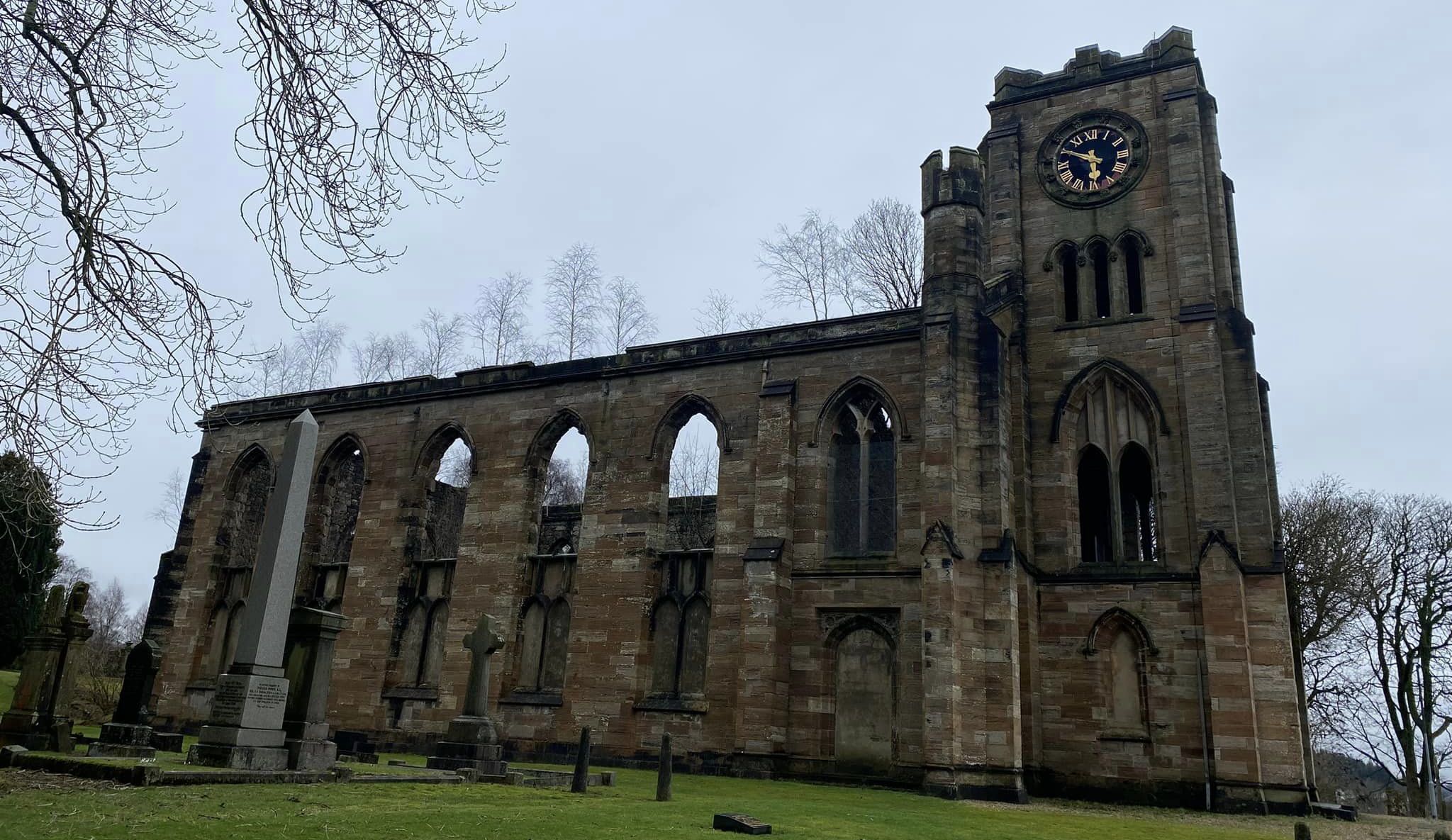
 The
High Kirk in Lennoxtown
|
 The
High Kirk in Lennoxtown
|
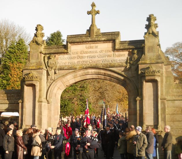 Entrance
Gateway War
Memorial
to the The High Kirk |
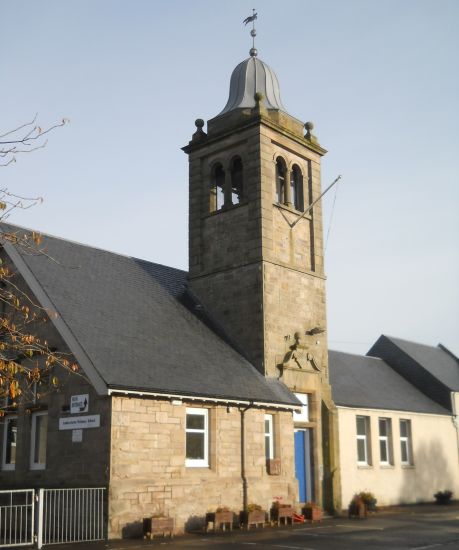 The
Primary School
in Lennoxtown |
 |
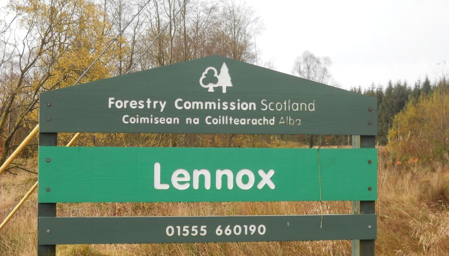 Sign
at Lennox Forest
above Lennoxtown |
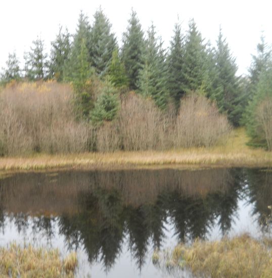 Lochan
in Lennox Forest |
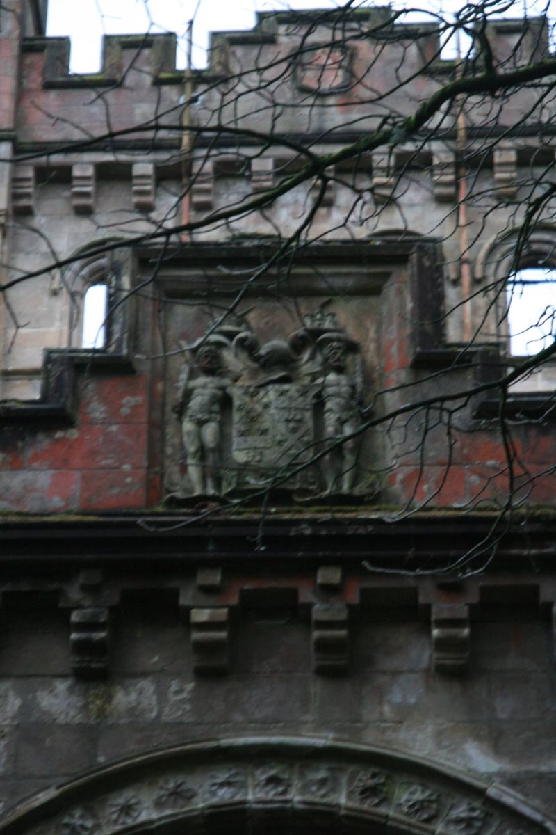
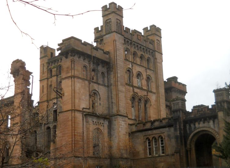
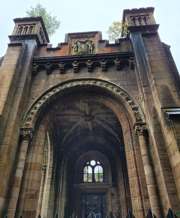
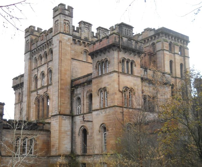 Lennox
Castle above Lennoxtown
Lennox Castle was built between 1837 and 1841 by John Lennox Kincaid. In April 1925 Glasgow Parish Council resolved to build
a new Mental Deficiency Institution
under
the provisions of the 1913 Act.
In
1927 the castle and its estate
were purchased and plans drawn up
for what was intended to be the largest
and best equipped hospital of its type in Britain.
Providing
1,200 beds at the cost of £1.25m,
work began converting the estate
to the designs of Wylie, Shanks and Wylie.
Lennox Castle itself was adapted into a nurses home.
Later requisitioned under the Emergency Hospital Scheme,
with ward huts constructed near the Castle, during WW2.
A maternity unit was subsequently established
on
the site in 1941
which
operated until 1964.
In
1987, the castle,
previously used for nurses' accommodation,
was vacated. |
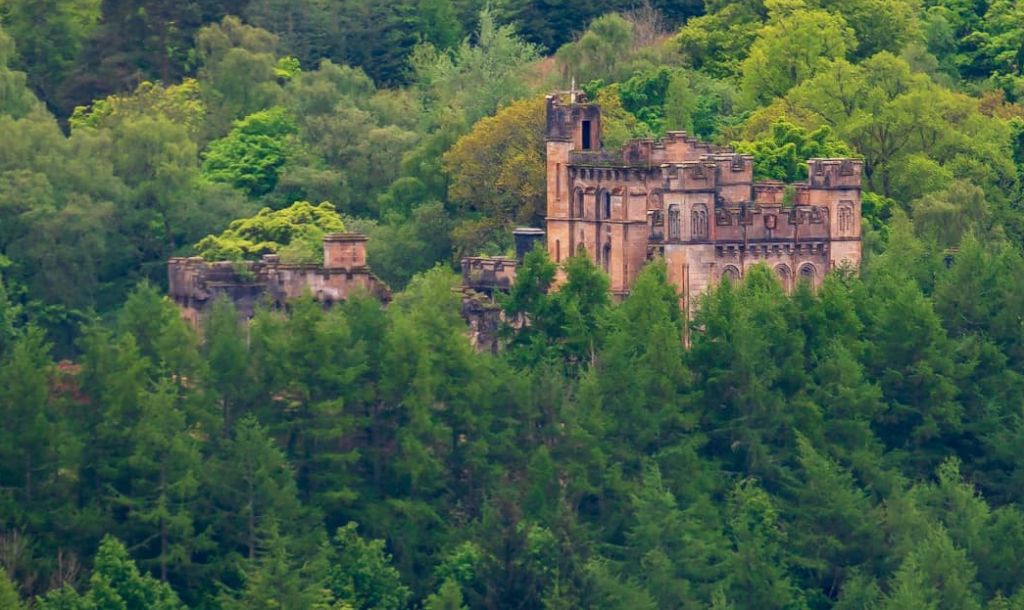
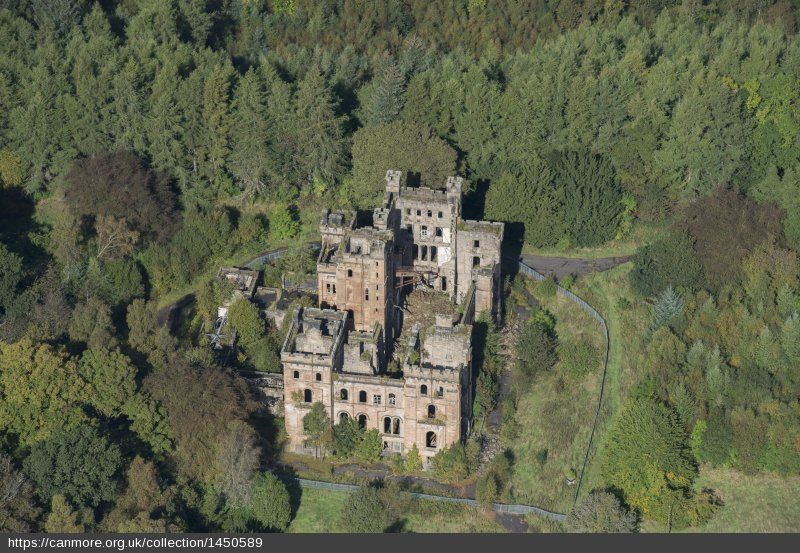 Aerial
view of Lennox Castle
above Lennoxtown. Lennox Castle was built between 1837 and 1841 by John Lennox Kincaid |
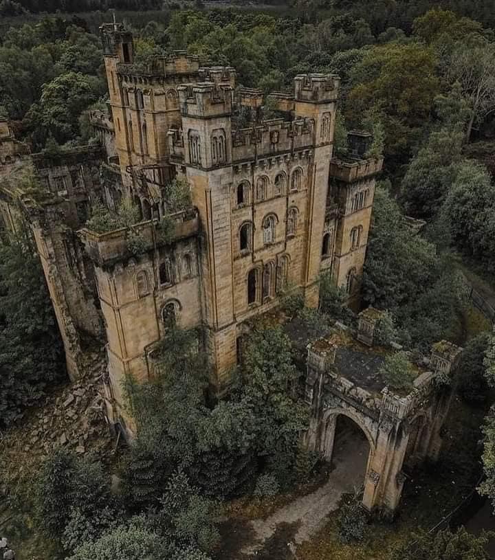 Aerial
view of Lennox Castle
above Lennoxtown. |
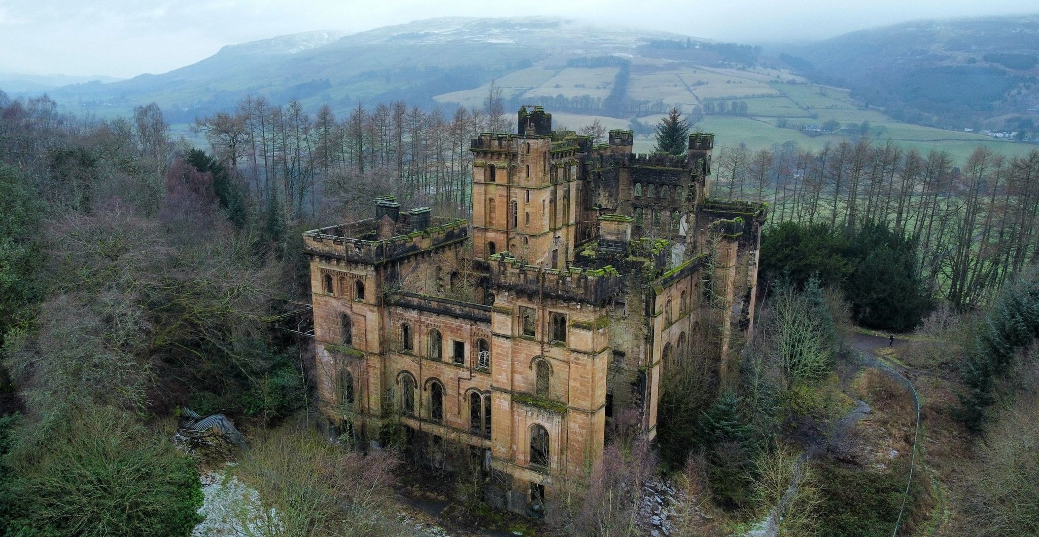 Aerial
view of Lennox Castle
above Lennoxtown. |
 |
 |
 |
 |
 |
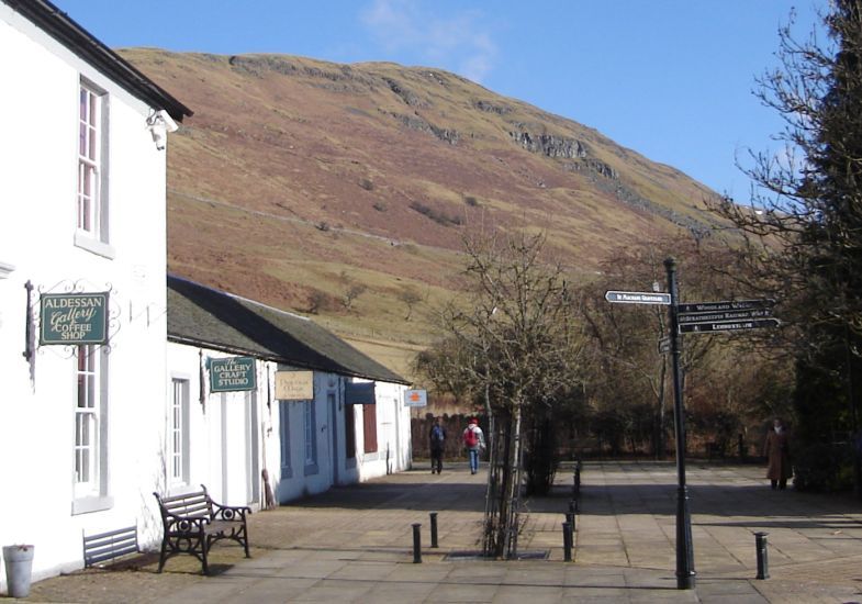
 Campsie
Glen and the Crow Road
over the Campsie Fells above Lennoxtown |
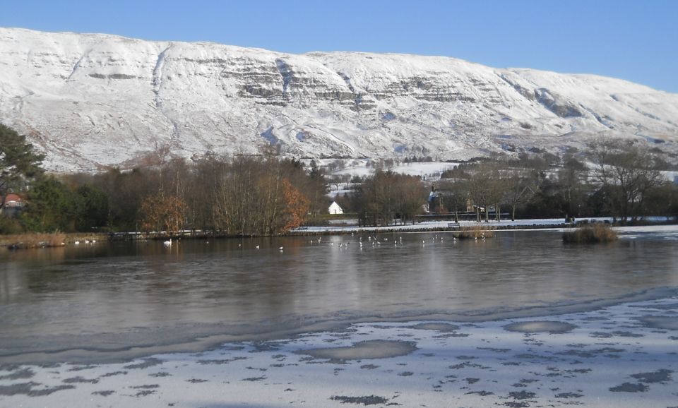 Snow-covered Campsie Fells
above Lennoxtown |
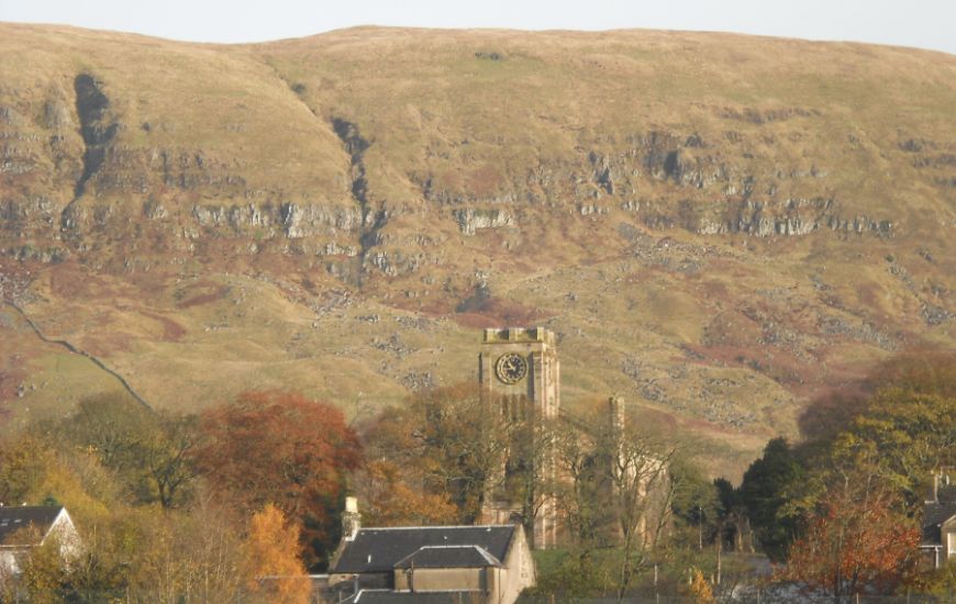
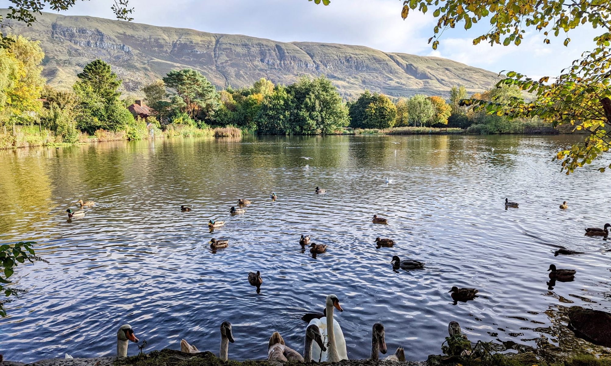 Campsie Fells
above Whitefield Pond in Lennoxtown |
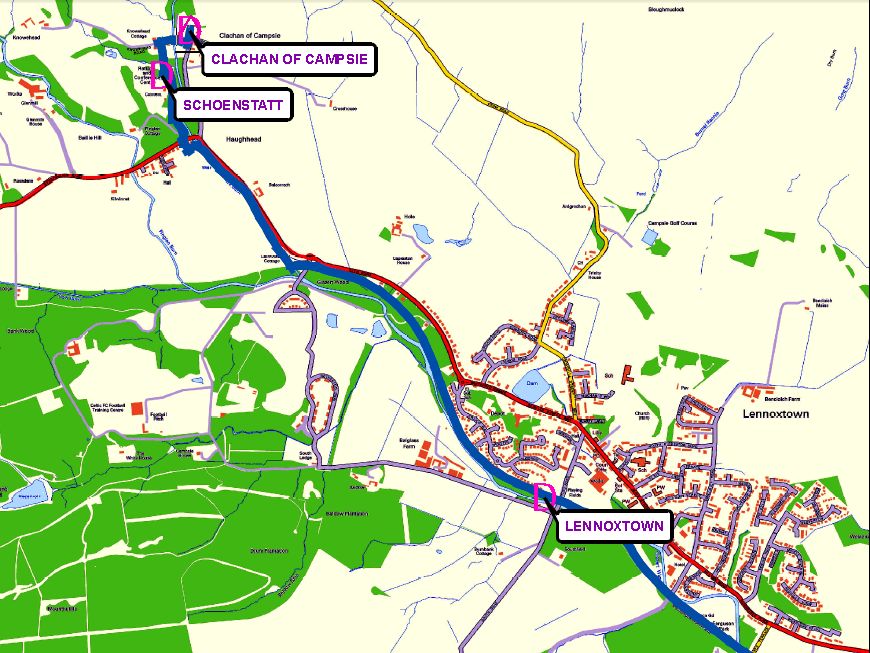 Map of
the Thomas Muir Trail
from Clachan of Campsie to Lennoxtown |
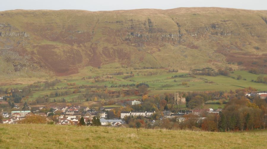
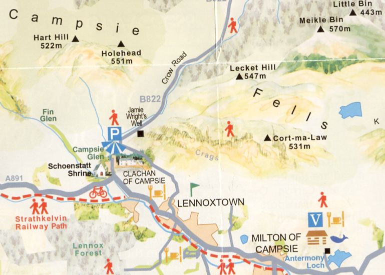 Map of
Lennoxtown
beneath the Campsie Fells |
|
|
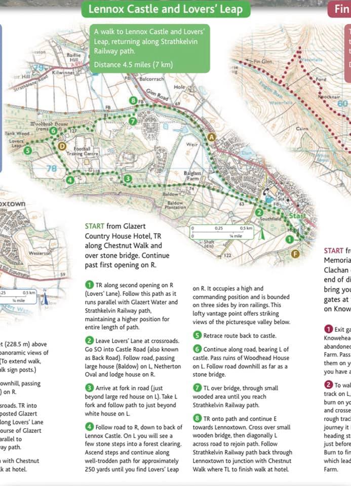
LENNOXTOWN CIRCULAR WALK - ROUTE DESCRIPTION:
 :: Dumgoyne
& Campsie Fells
:: Dumgoyne
& Campsie Fells 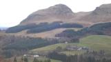
Glencoe | Ben Nevis | Knoydart | Isle of Skye | Isle of Arran
The Eastern Highlands | The Central Highlands | The Southern Highlands | The NW Highlands