 |
Bearsden & DistrictLennoxtown - Blairskaith |
  |
| |
Bearsden & DistrictLennoxtown - Blairskaith |
|
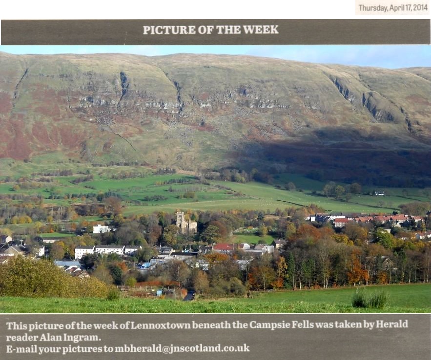
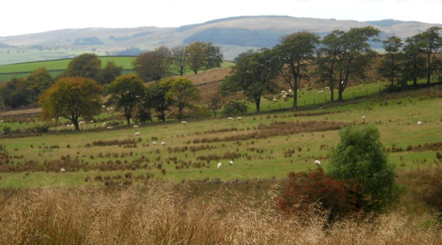
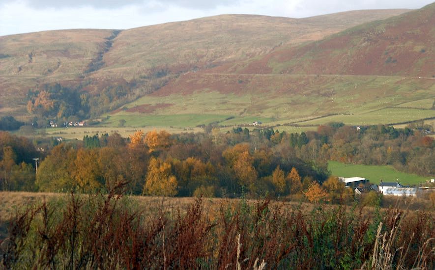
 beneath the Campsie Fells |
 |
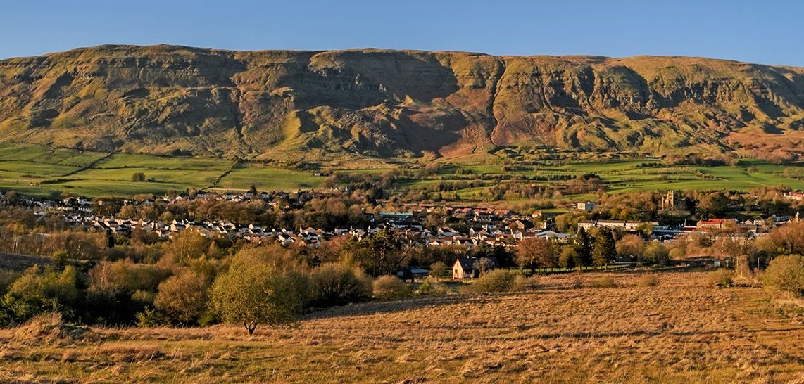 beneath the Campsie Fells |
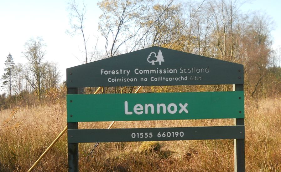 Sign
at Lennox Forest above Lennoxtown
|
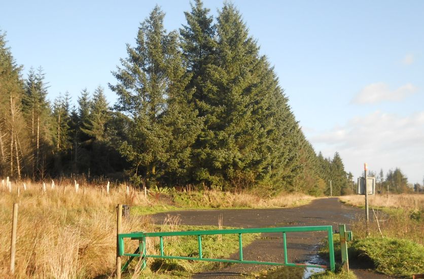 Lennox
Forest
|
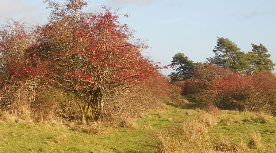
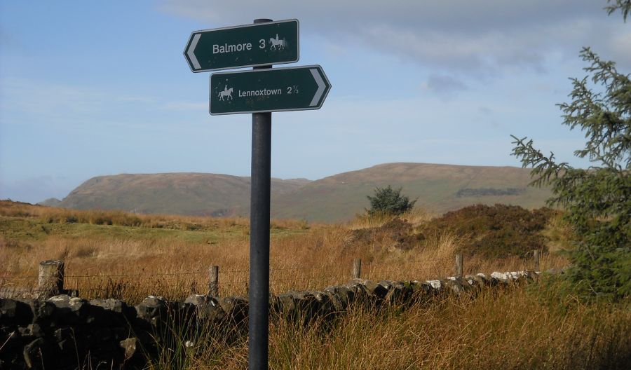 Campsie Fells beyond signpost on Blairskaith Muir |
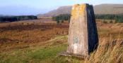
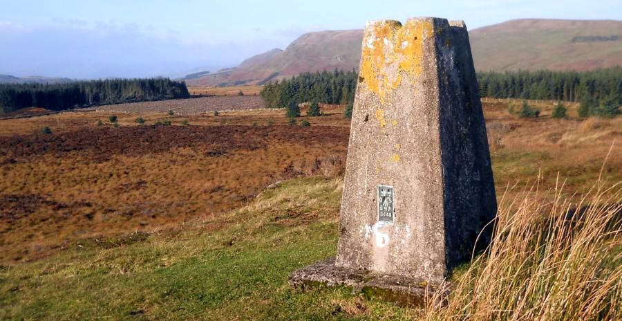 Campsie Fells from trig point on Blairskaith Muir |
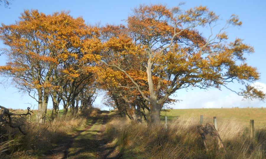 Path from Blairskaith Muir to East Blairskaith Farm |
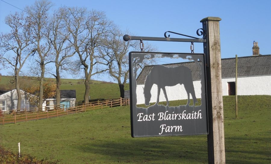 East
Blairskaith Farm
|
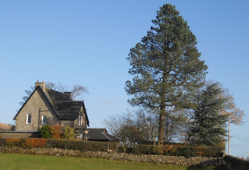 Blairskaith
House
|
 |
 Kilpatrick
Hills from the
Mealybrae Path
|
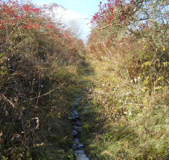
 Mealybrae
Path to Lennox Forest
|
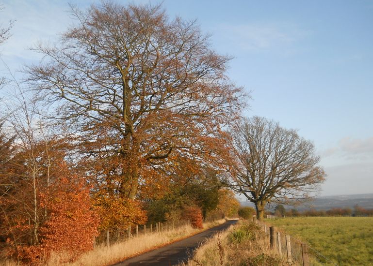 Road
from Lennox Forest to Lennoxtown
|
 Crow
road over the Campsie Fells from
Lennoxtown
|
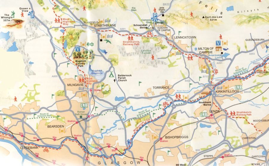 Map
of Lennoxtown
and Lennox Forest
|
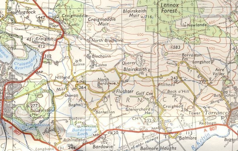 Map of
Lennox Forest and
Blairskaith
|
LENNOXTOWN CIRCULAR WALK - ROUTE DESCRIPTION:
 ::
Lennoxtown
Gallery
::
Lennoxtown
Gallery 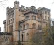 :: Campsie
Fells Gallery
:: Campsie
Fells Gallery 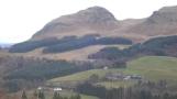
Glencoe | Ben Nevis | Knoydart | Isle of Skye | Isle of Arran
The Eastern Highlands | The Central Highlands | The Southern Highlands | The NW Highlands