 |
The Trossachs Loch
Drunkie
|
  |
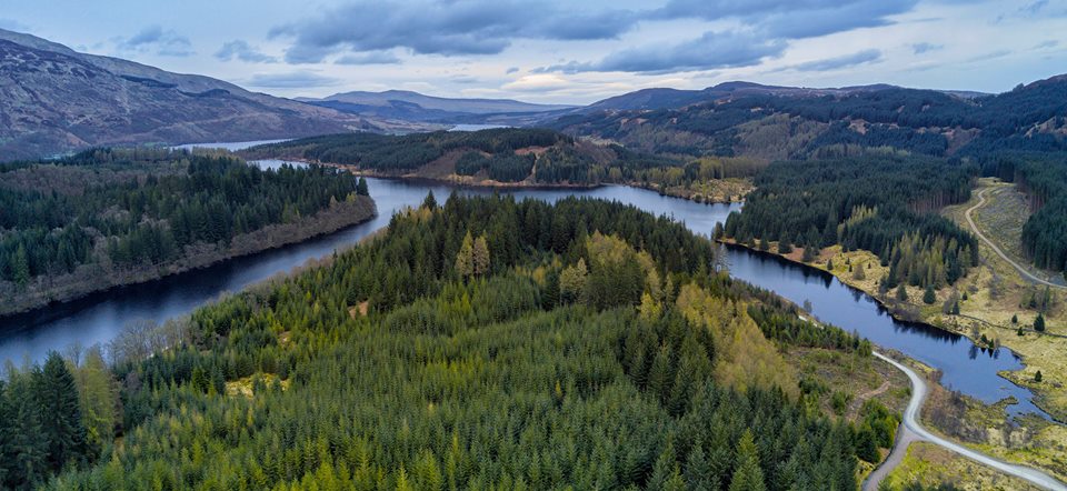
Photographs of a three lochs ( Reoidhte, Drunkie, Achray )
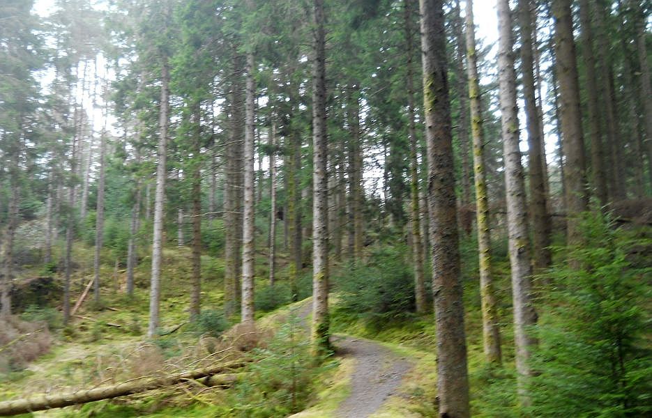
and forest walk
at Aberfoyle
in the Trossachs Region of Scotland
| |
The Trossachs Loch
Drunkie
|
|
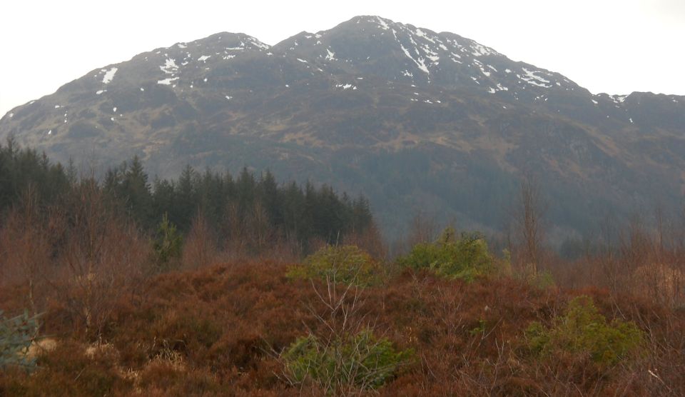
 Ben Ledi from viewpoint at start of walk |
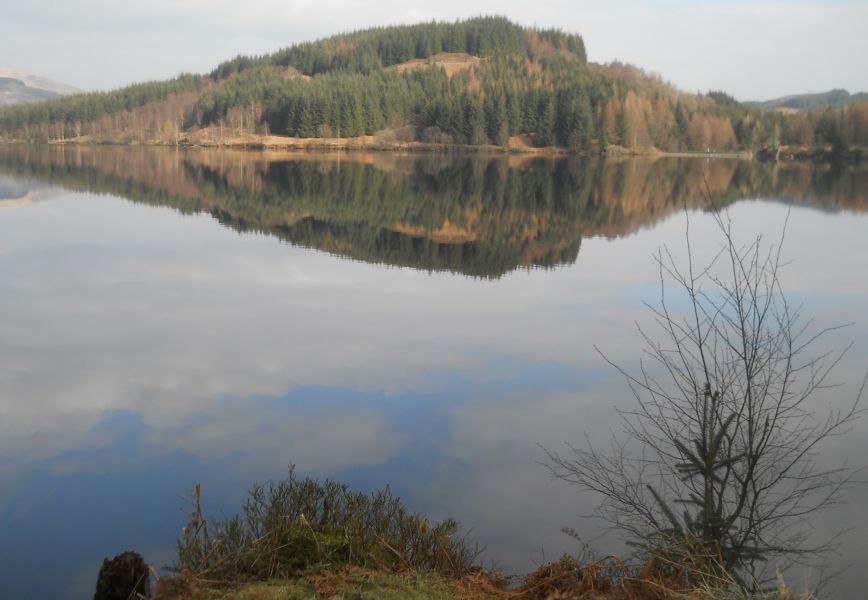
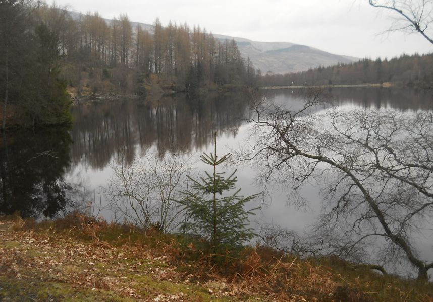
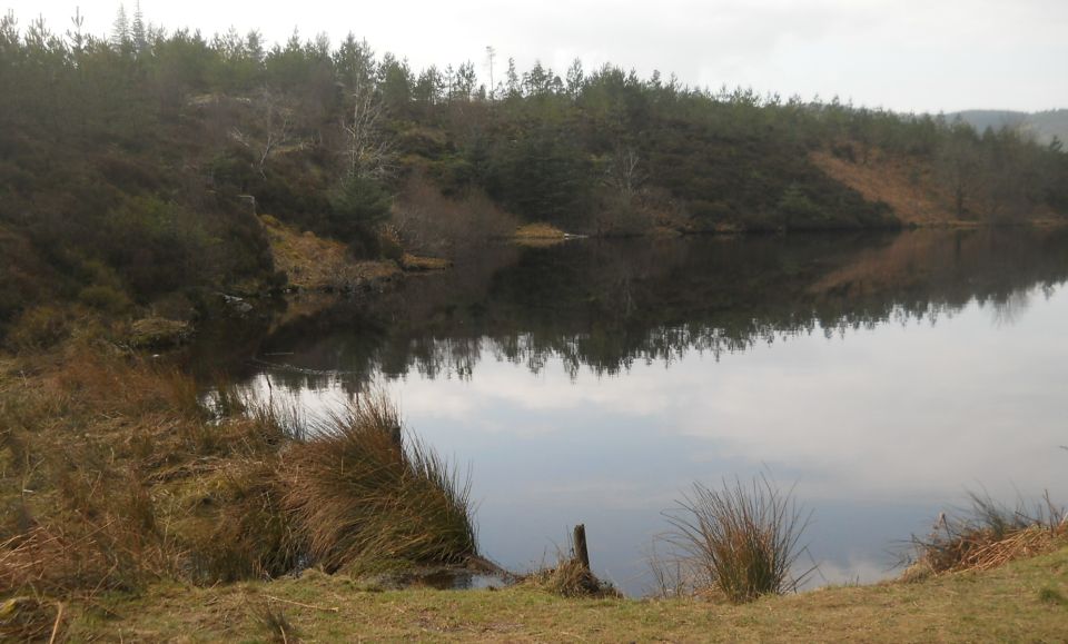 Loch
Reoidhte
|
 Loch
Reoidhte
|
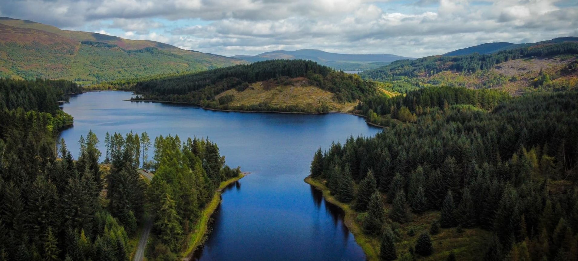
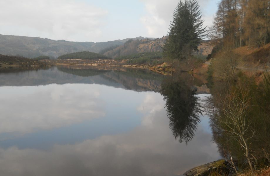
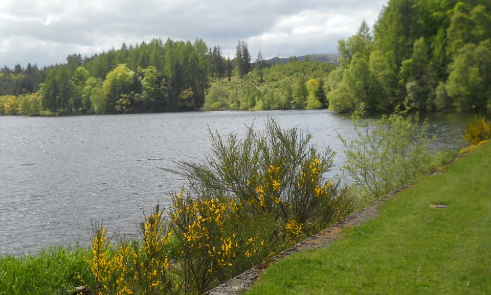
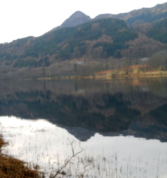
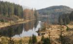
 Loch Drunkie ( gaelic Loch Drongaidh ) |
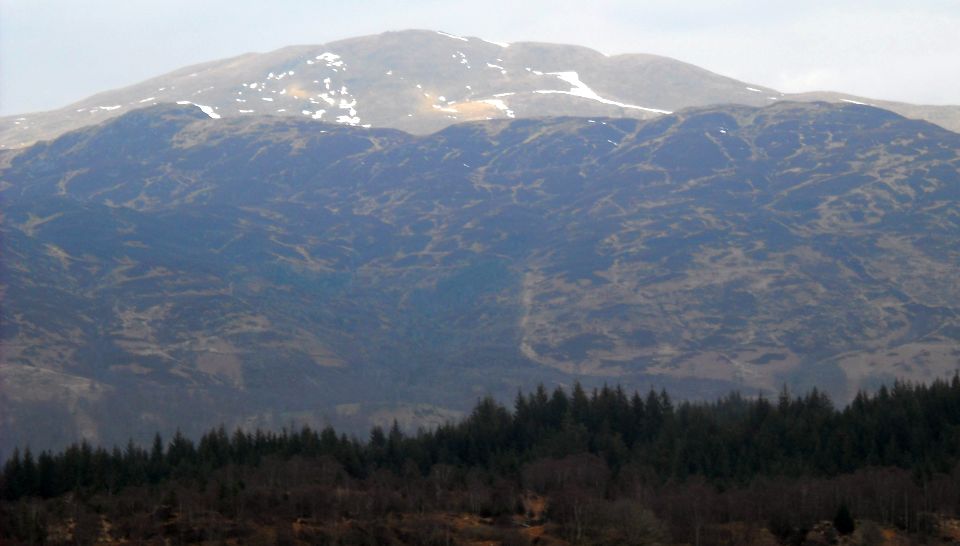
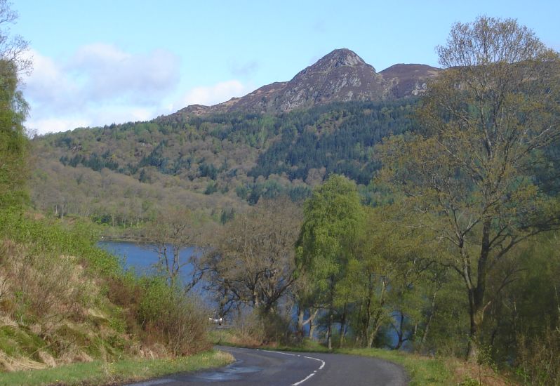
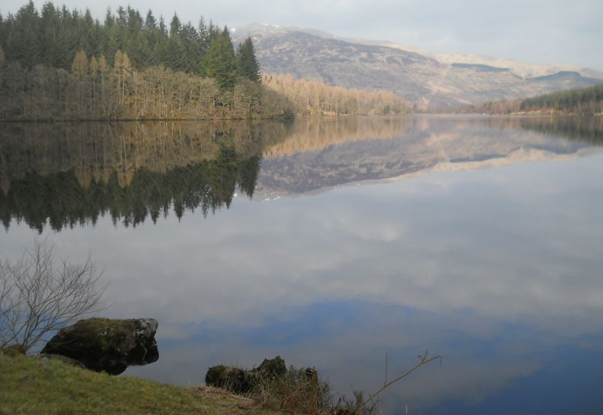 Ben
Ledi from Loch Drunkie
|
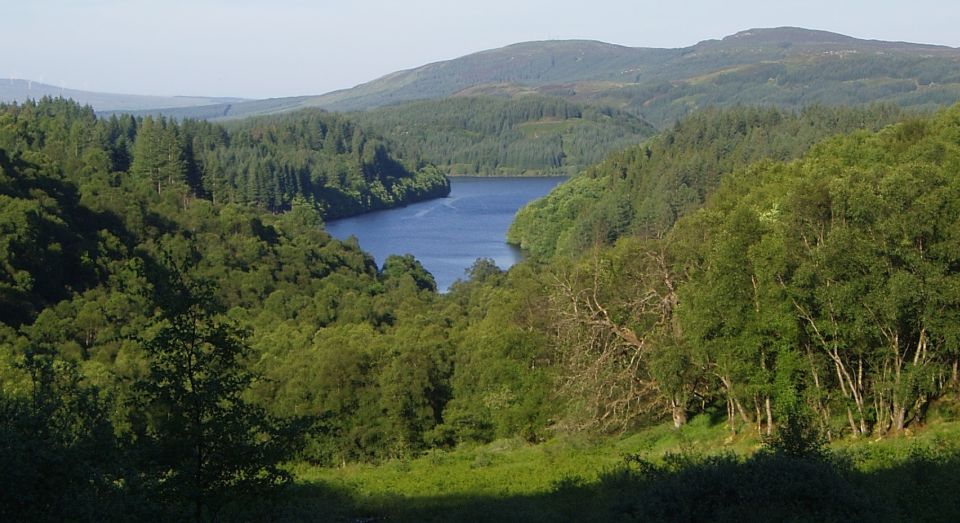
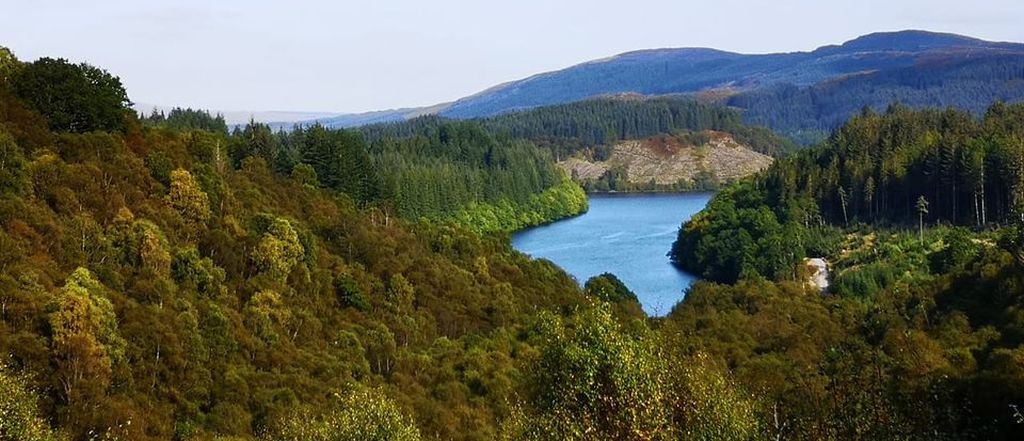
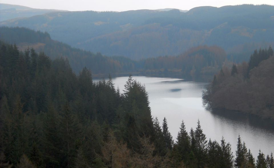 Loch
Drunkie
from Pine Ridge trail |
 Head
of Loch Drunkie
|
 Dam at
head
of Loch Drunkie
|
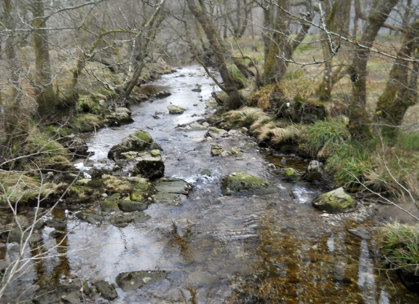
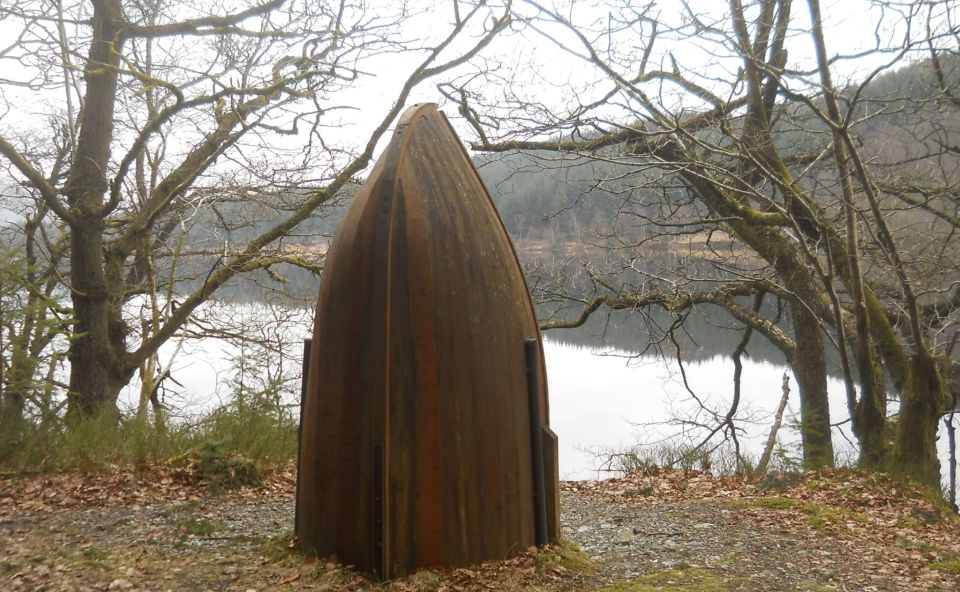 Return
trail alongside Loch Drunkie
|
 Loch Drunkie ( gaelic Loch Drongaidh ) |
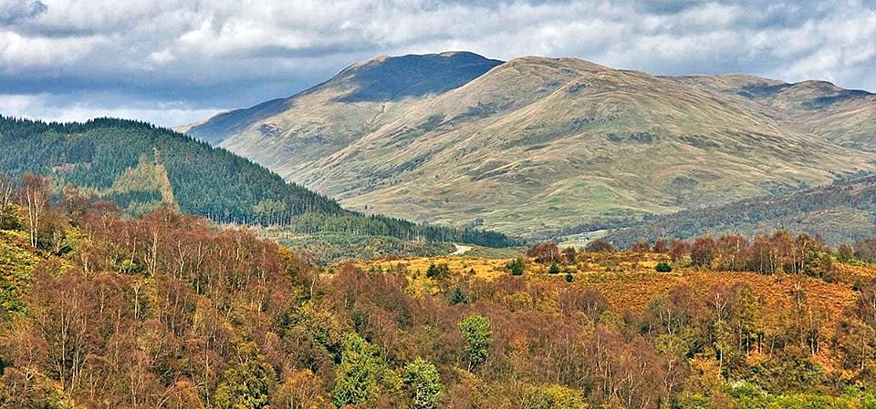
 Ben
Venue
from Loch Achray trail |
 Ben
Aan
from Loch Achray |
 |
 |
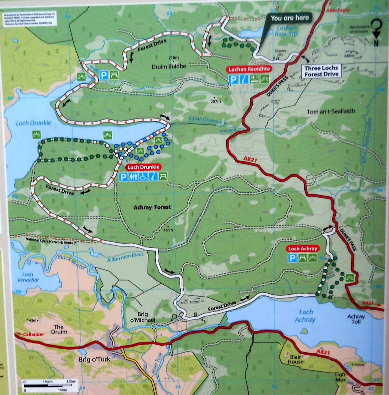 Map of
Three Loch Forest Drive
( Note:- Click here or on above for large format copy ) |
Map of
Route to Loch Drunkie
from Brig O'Turk |
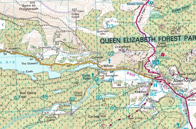 Map of
Aberfoyle
and surroundings
|
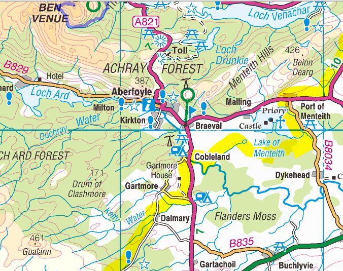 Map of
Aberfoyle
and the Menteith Hills |
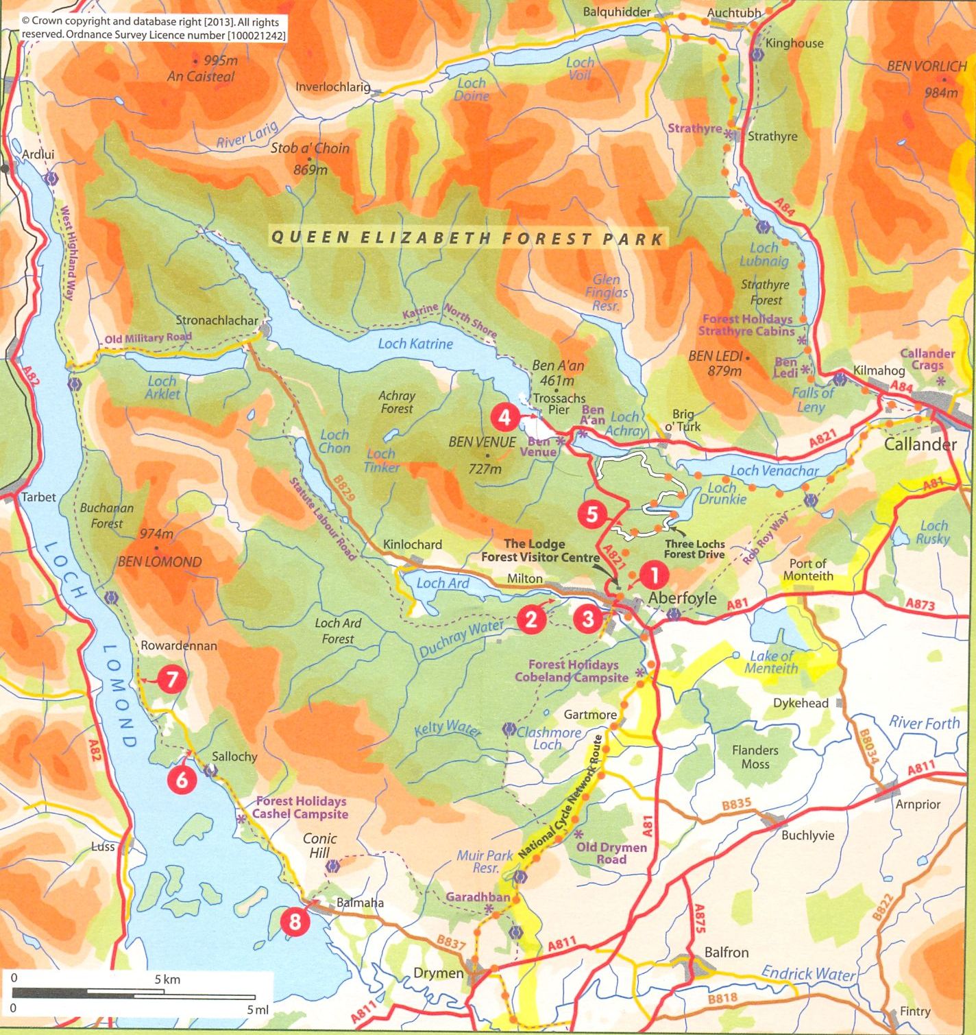 Map of
Loch Lomond and Trossachs
area
( Note:- Click here or on above for large format copy ) |
Loch Drunkie Walk - Route Description:
 :: Loch Ard
Gallery
:: Loch Ard
Gallery 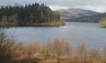 :: Aberfoyle
&
Menteith Hills Gallery
:: Aberfoyle
&
Menteith Hills Gallery 
Glencoe | Ben Nevis | Knoydart | Isle of Skye | Isle of Arran
The Eastern Highlands | The Central Highlands | The Southern Highlands | The NW Highlands