 |
Bearsden & DistrictBalfron Circuit |
  |
| |
Bearsden & DistrictBalfron Circuit |
|
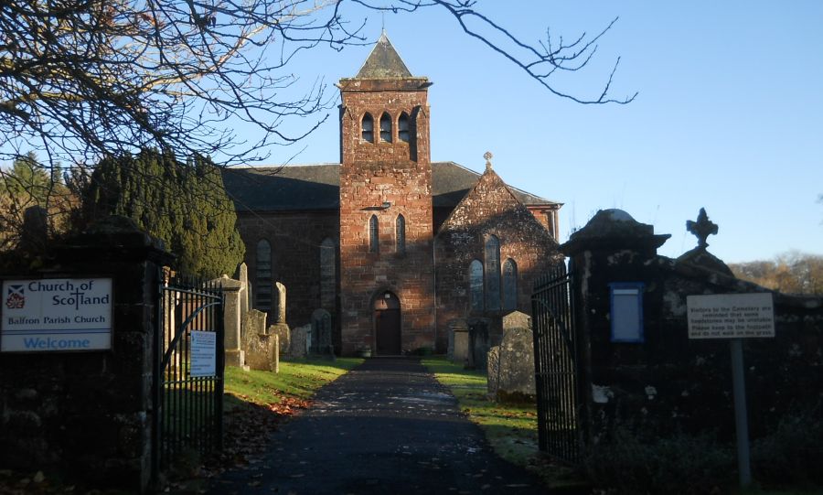 Parish
Church in Balfron
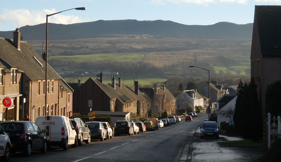
Balfron Village is some 16 miles ( 26km ) to the north of Glasgow on the northern side of the Campsie Fells |
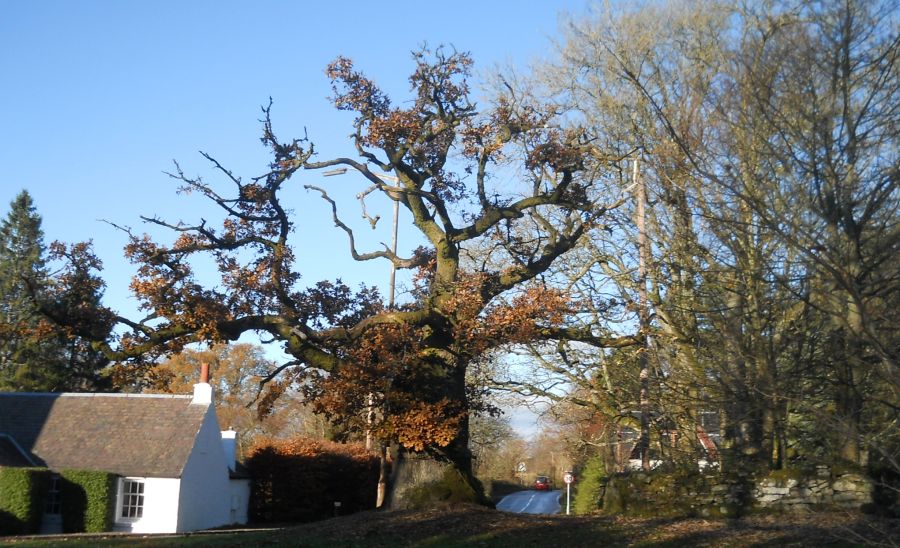 The Clachan Oak —
the original centre of Balfron
|
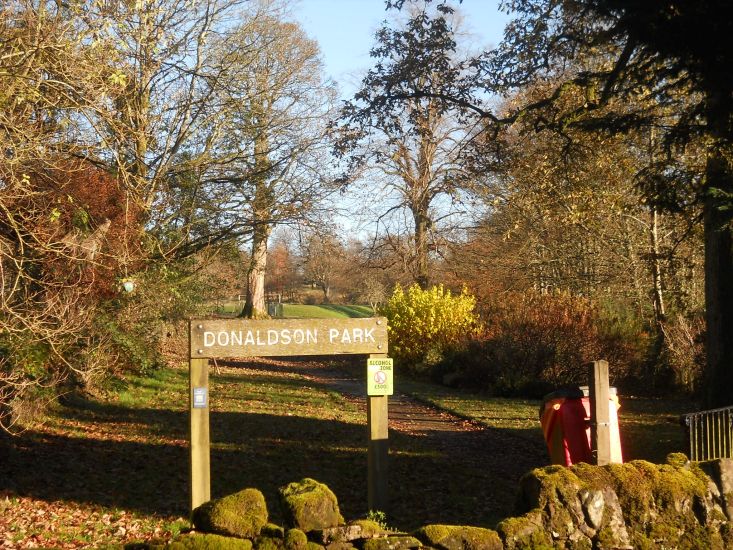 Donaldson
Park off Spoker's Loan in Balfron
|
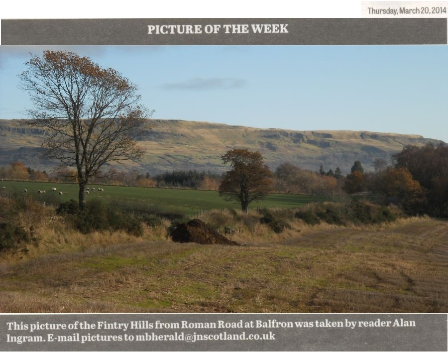
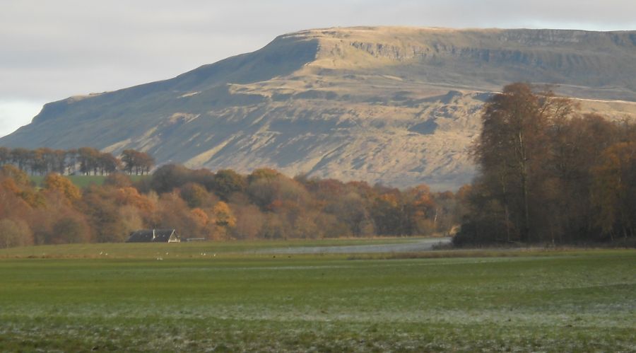
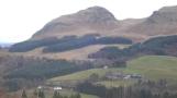
 Fintry Hills from
Roman Road
|
 |
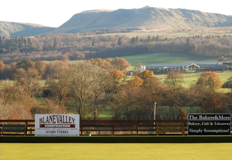
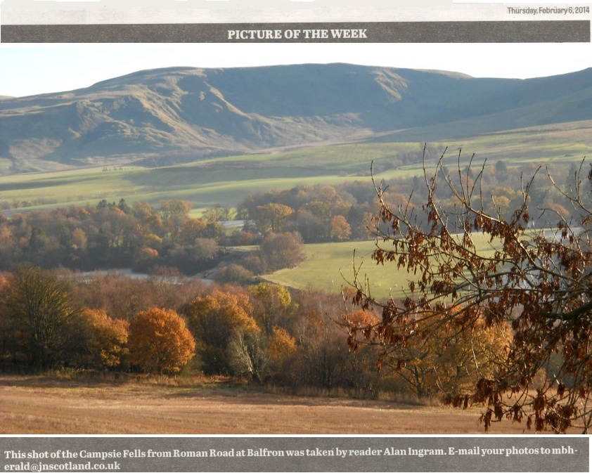 Corrie of Balglass
in the Campsie Fells from Roman Road |
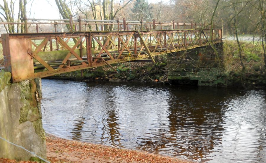
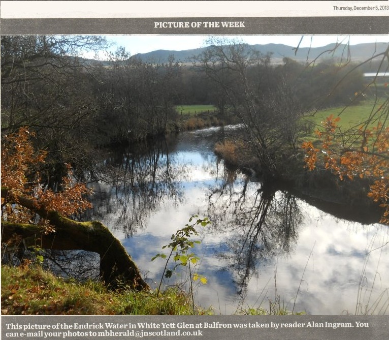
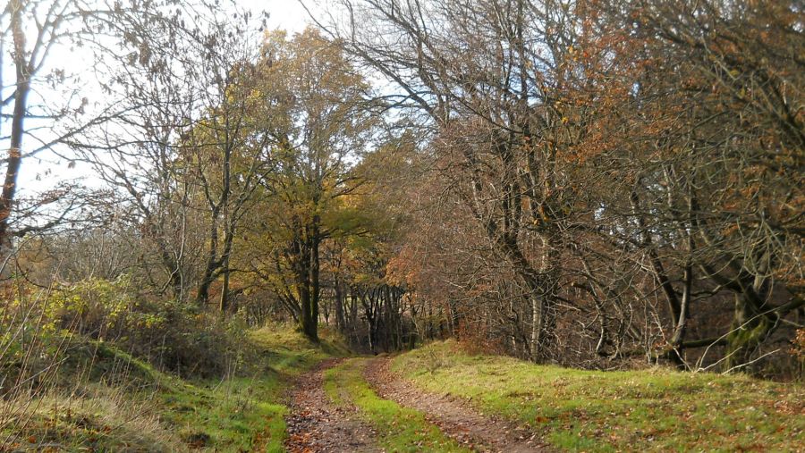 Public path through White Yett Glen to
Balfron Bowling Green.
|
 |
 |
 |
 |
 |
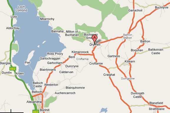 Map of Balfron Area
|
 Map of
Balfron
( Note: Click here or on above for large format copy ) |
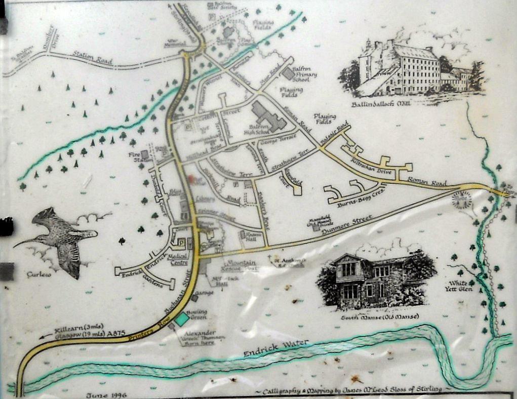
Map of
Balfron Area
|
BALFRON CIRCULAR WALK - ROUTE DESCRIPTION:
 :: Balfron Gallery
 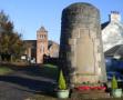 :: Campsie Fells
Glencoe | Ben Nevis | Knoydart | Isle of Skye | Isle of Arran
The Eastern Highlands | The Central Highlands | The Southern Highlands | The NW Highlands


Google Analytics