 |
Bearsden & DistrictCroftamie |
  |
| |
Bearsden & DistrictCroftamie |
|
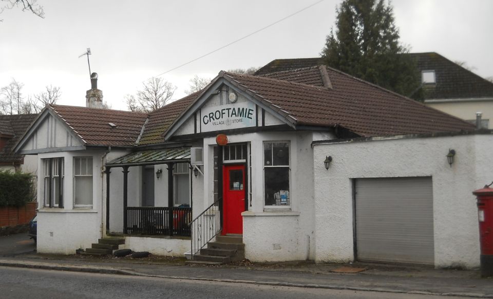 Village
store in Croftamie
|
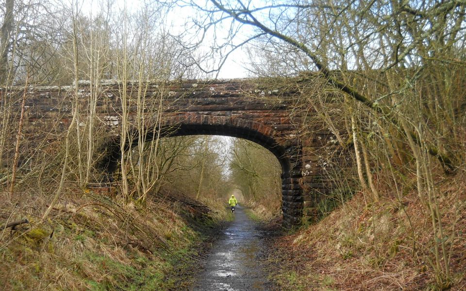
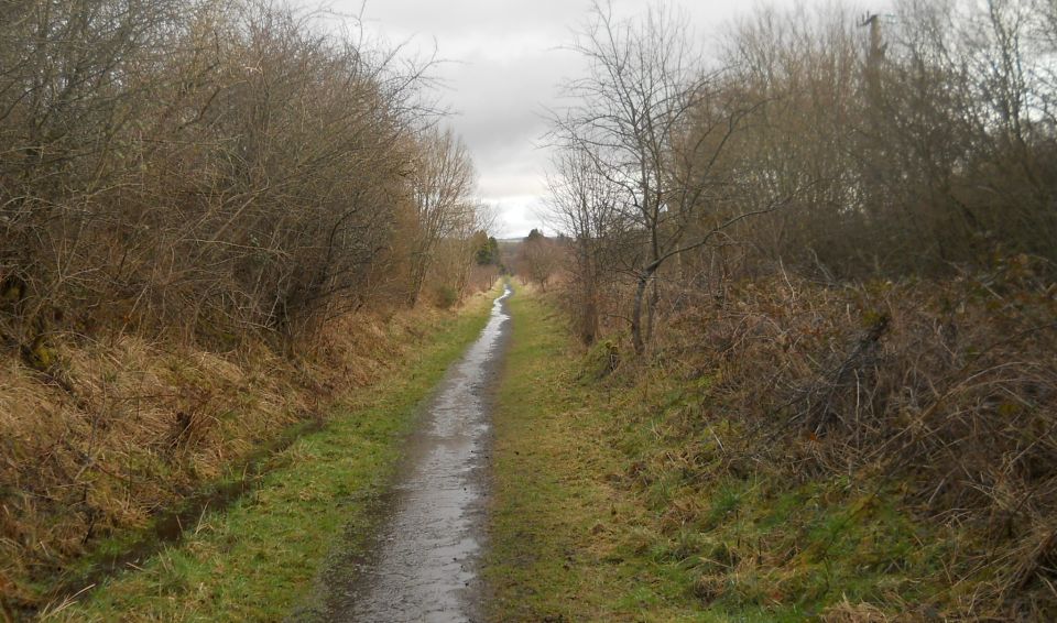 Pathway
along the track
of the former Forth and Clyde Junction Railway at Croftamie |
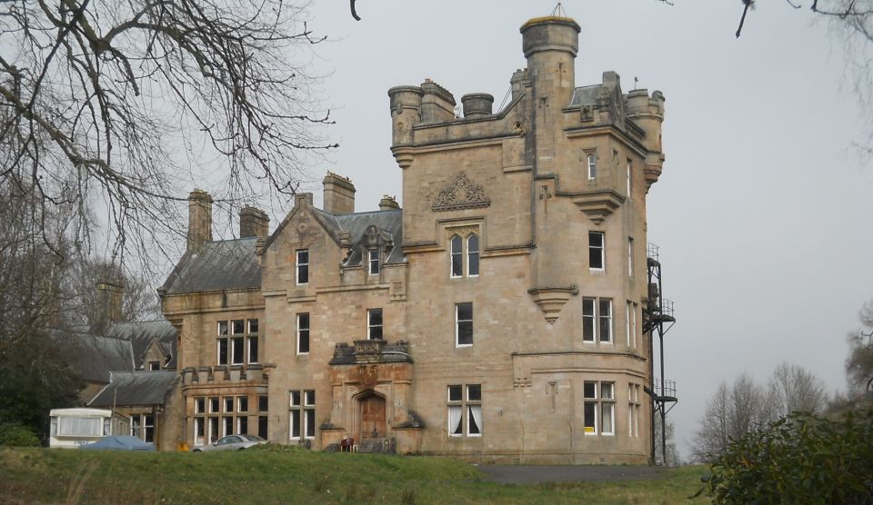
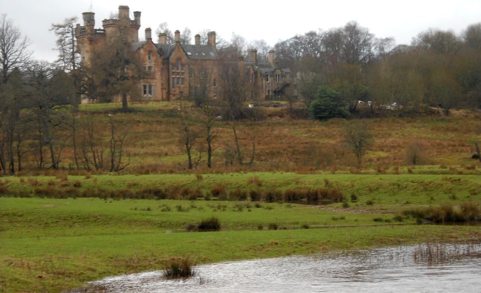 Dalnair
House
( b1884, a Category "B" listed building ) from the Endrick Water This is an imposing late 19th century baronial mansion built for the Glasgow merchant, Thomas Brown. |
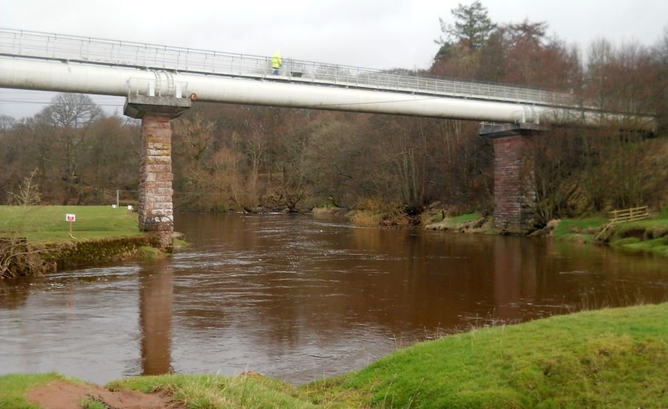 Former
railway bridge / viaduct
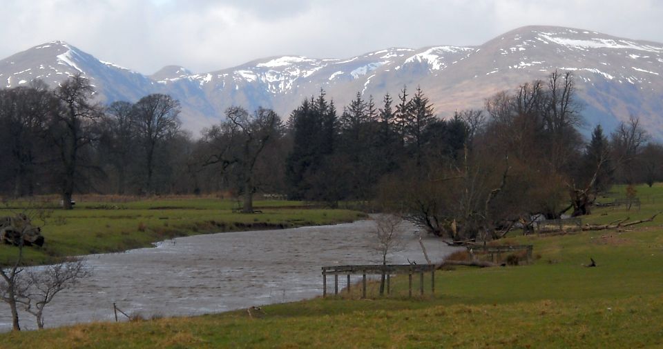
over the Endrick Water |
 |
 |
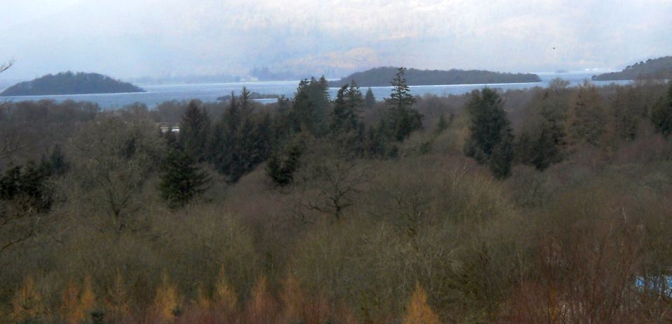 Loch
Lomond
from the path to Home Farm |
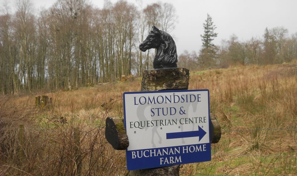 Signpost
for Home Farm
on driveway for Buchanan Castle Golf Club |
 |
 |
 |
 Public
footpath
from A809 to Pirniehall |
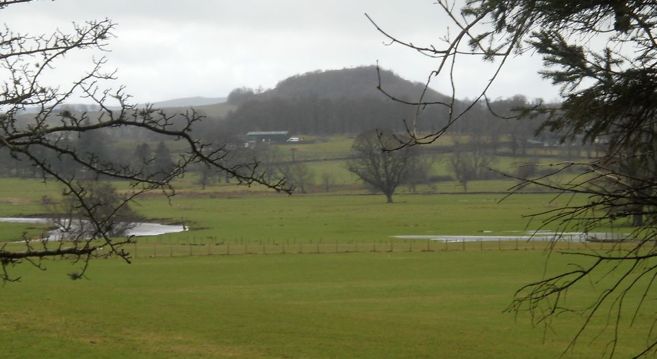
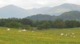
 Kilpatrick
Hills
from Pirniehall |
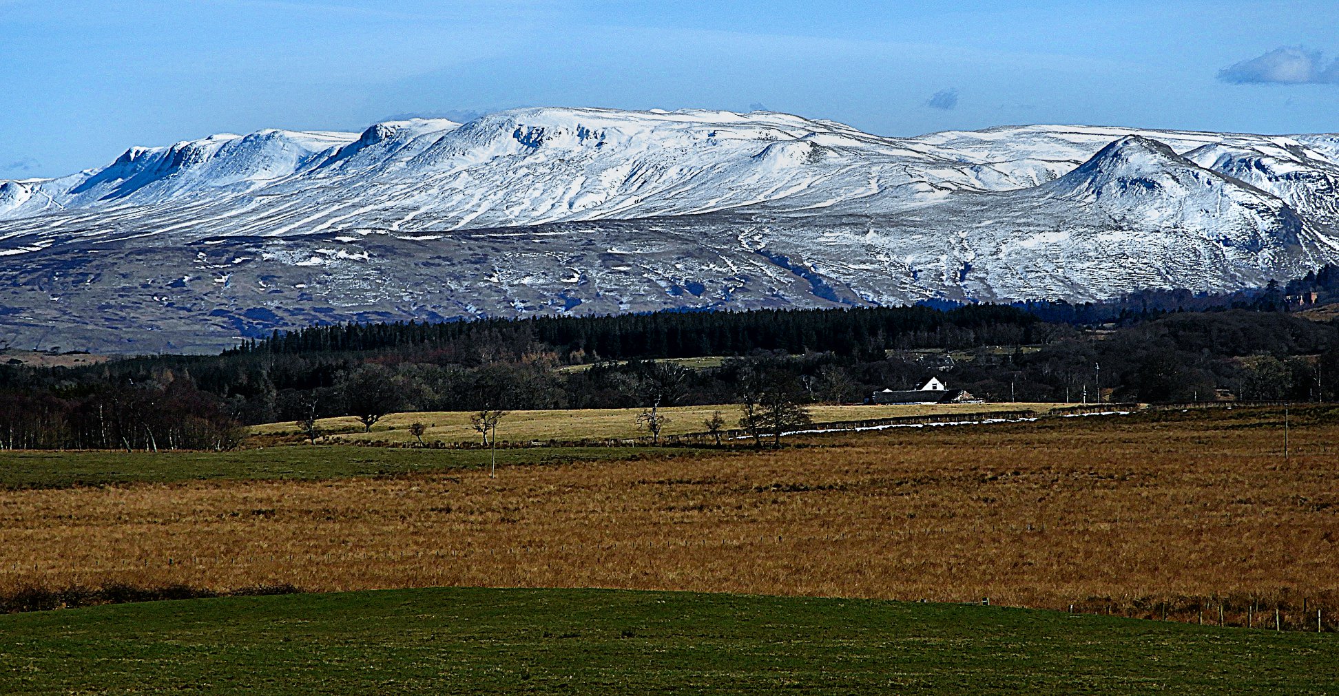
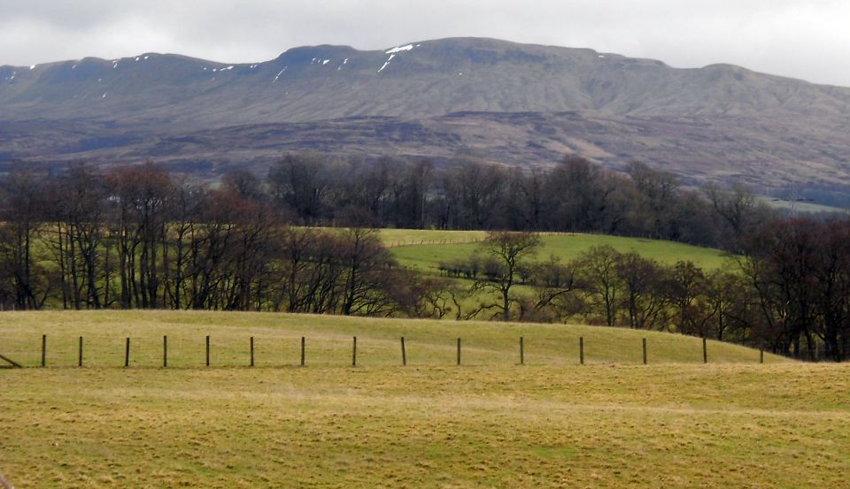
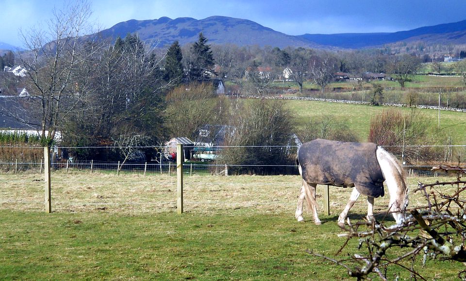
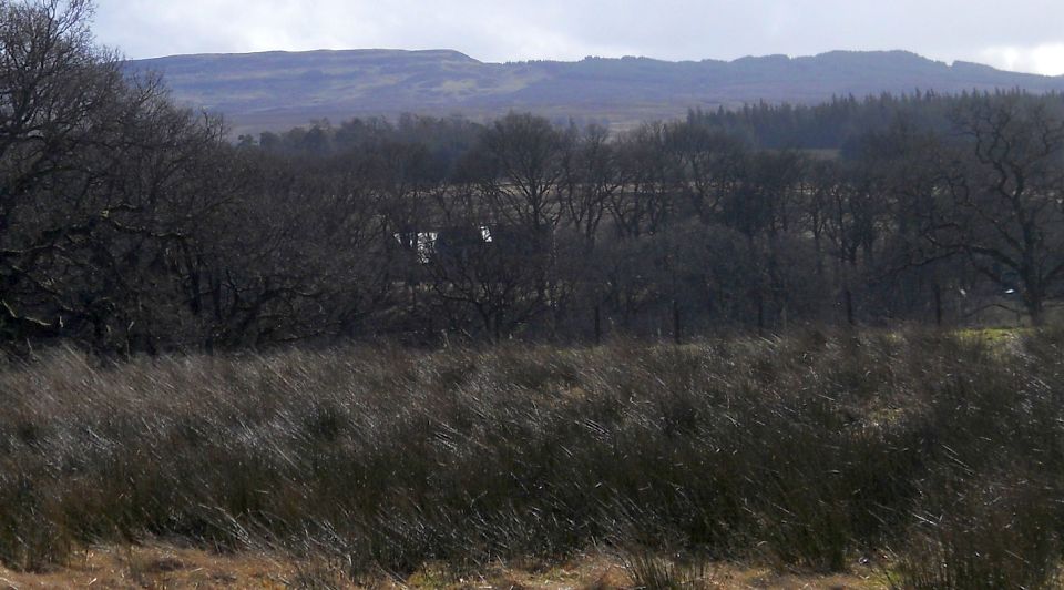
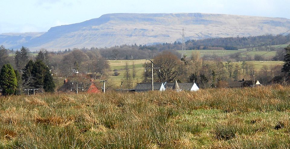 Fintry
Hills
beyond Croftamie |
 |
CROFTAMIE CIRCULAR WALK - ROUTE DESCRIPTION:
 :: Croftamie
Walk Gallery
:: Croftamie
Walk Gallery 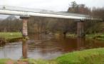 :: West Highland
Way
:: West Highland
Way 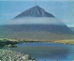
Glencoe | Ben Nevis | Knoydart | Isle of Skye | Isle of Arran
The Eastern Highlands | The Central Highlands | The Southern Highlands | The NW Highlands


Google
Analytics